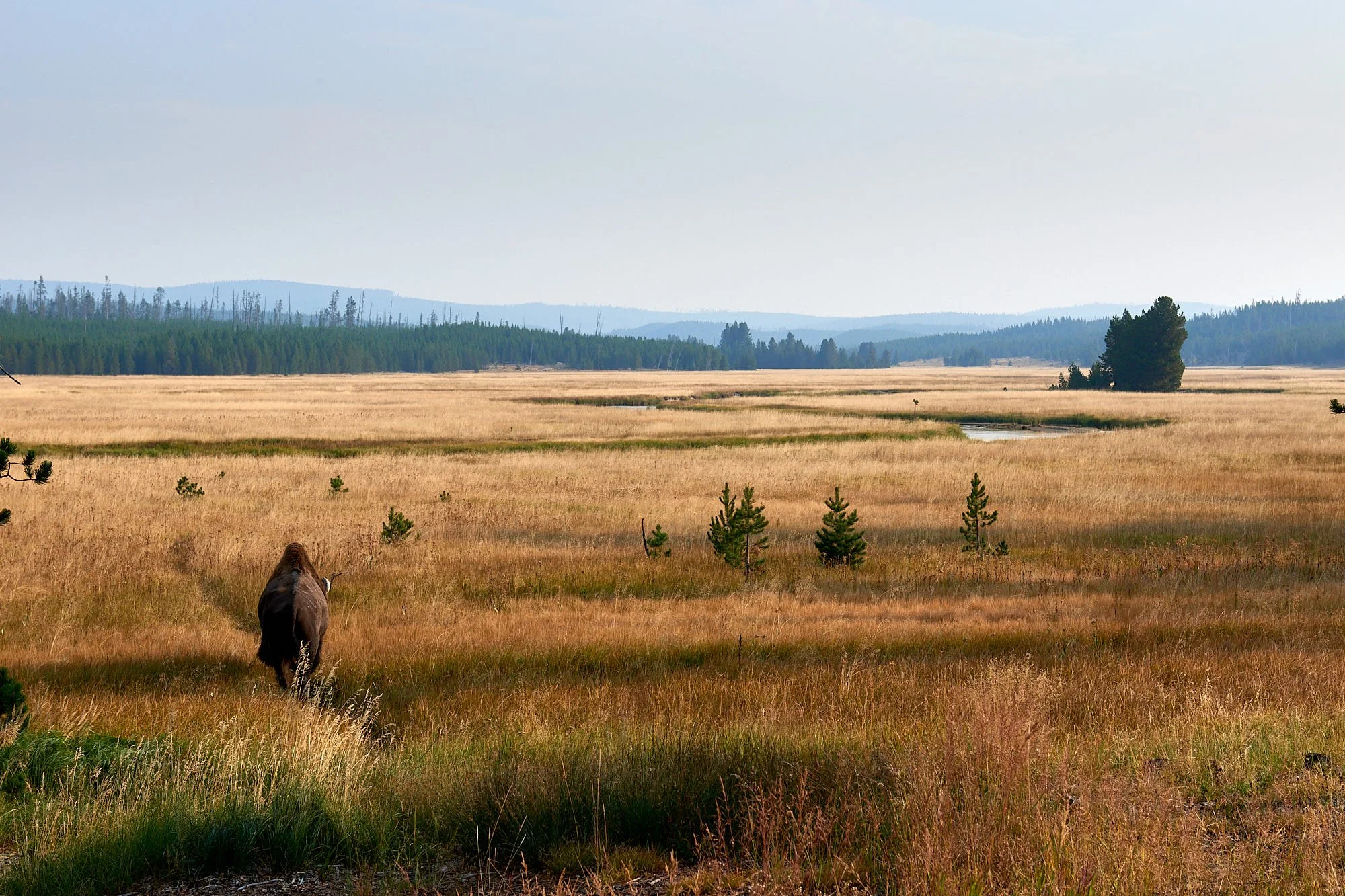
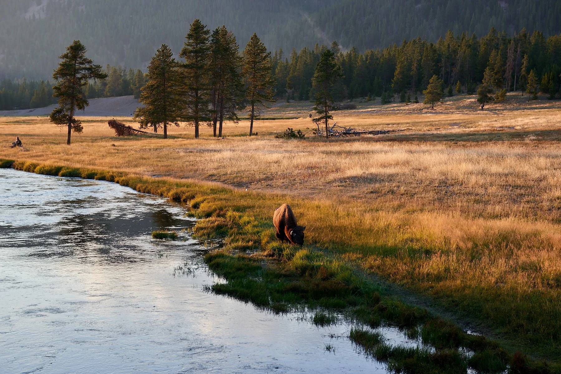
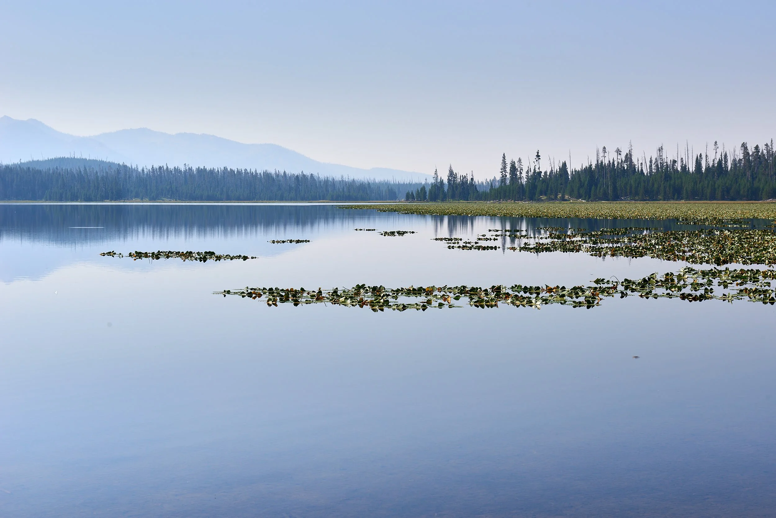
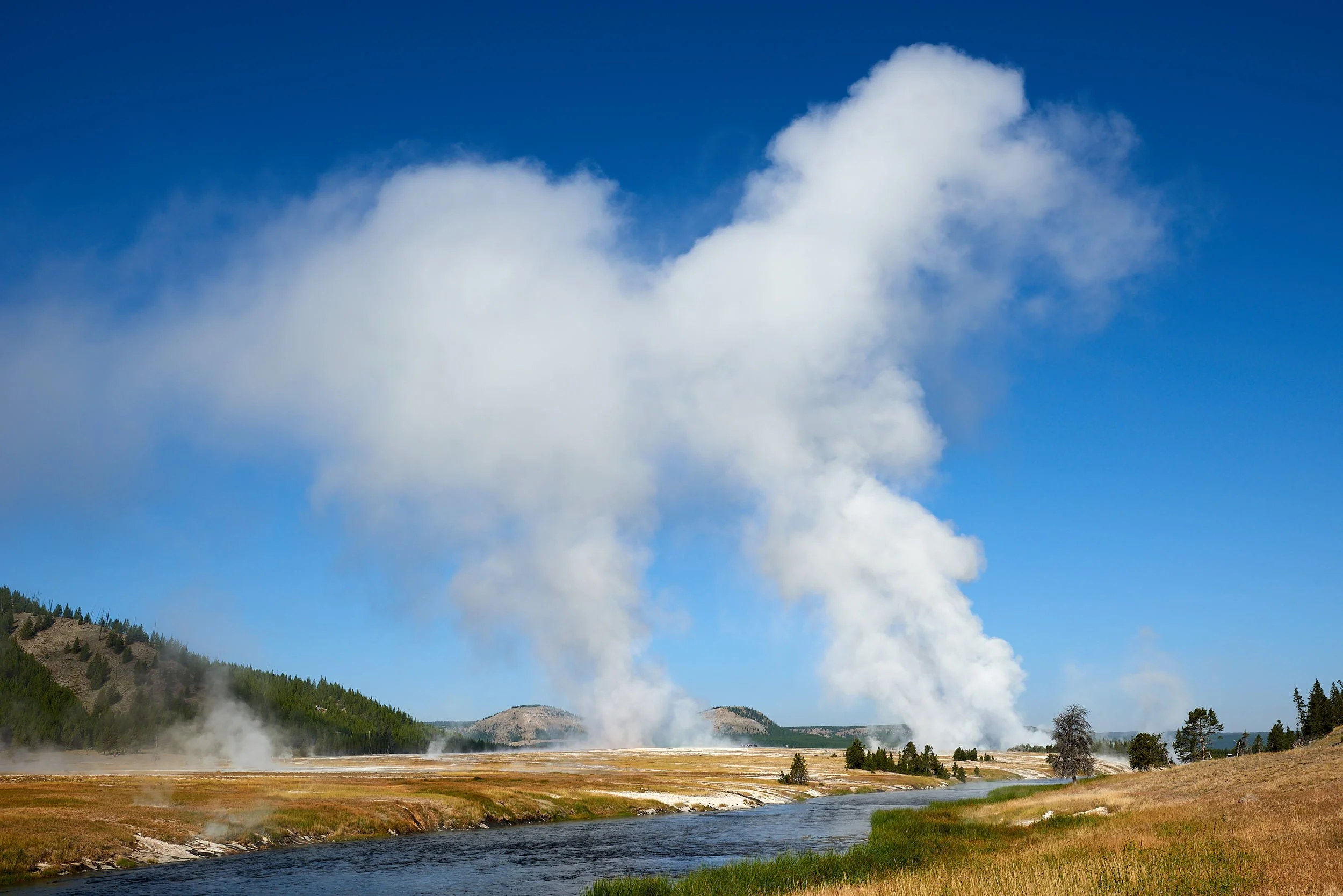
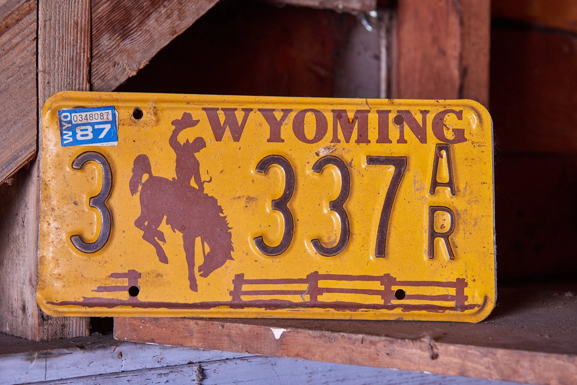
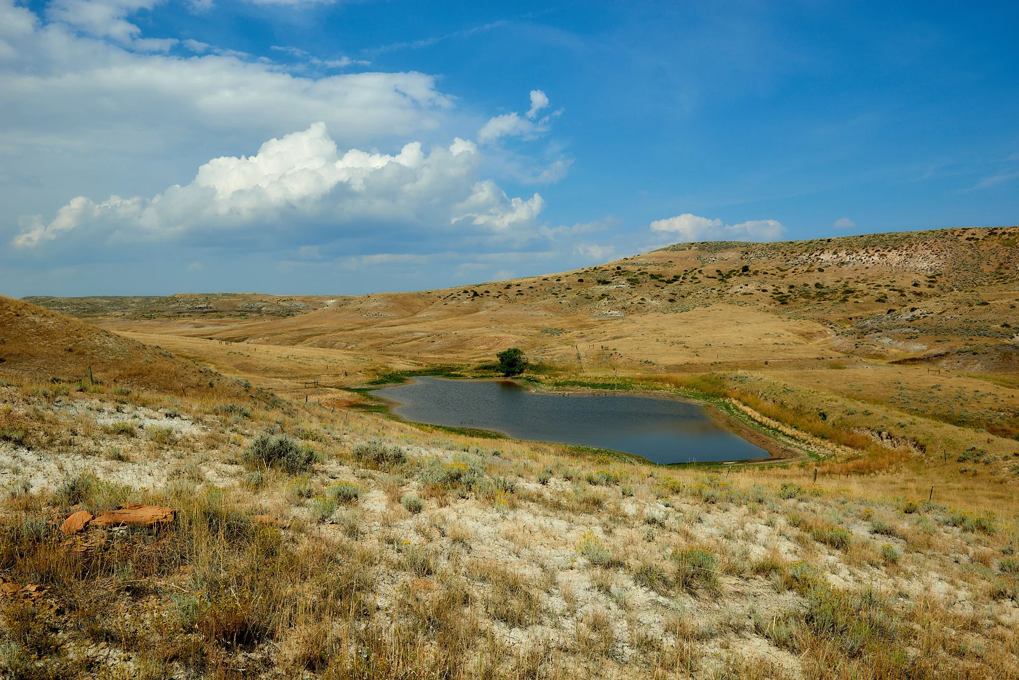
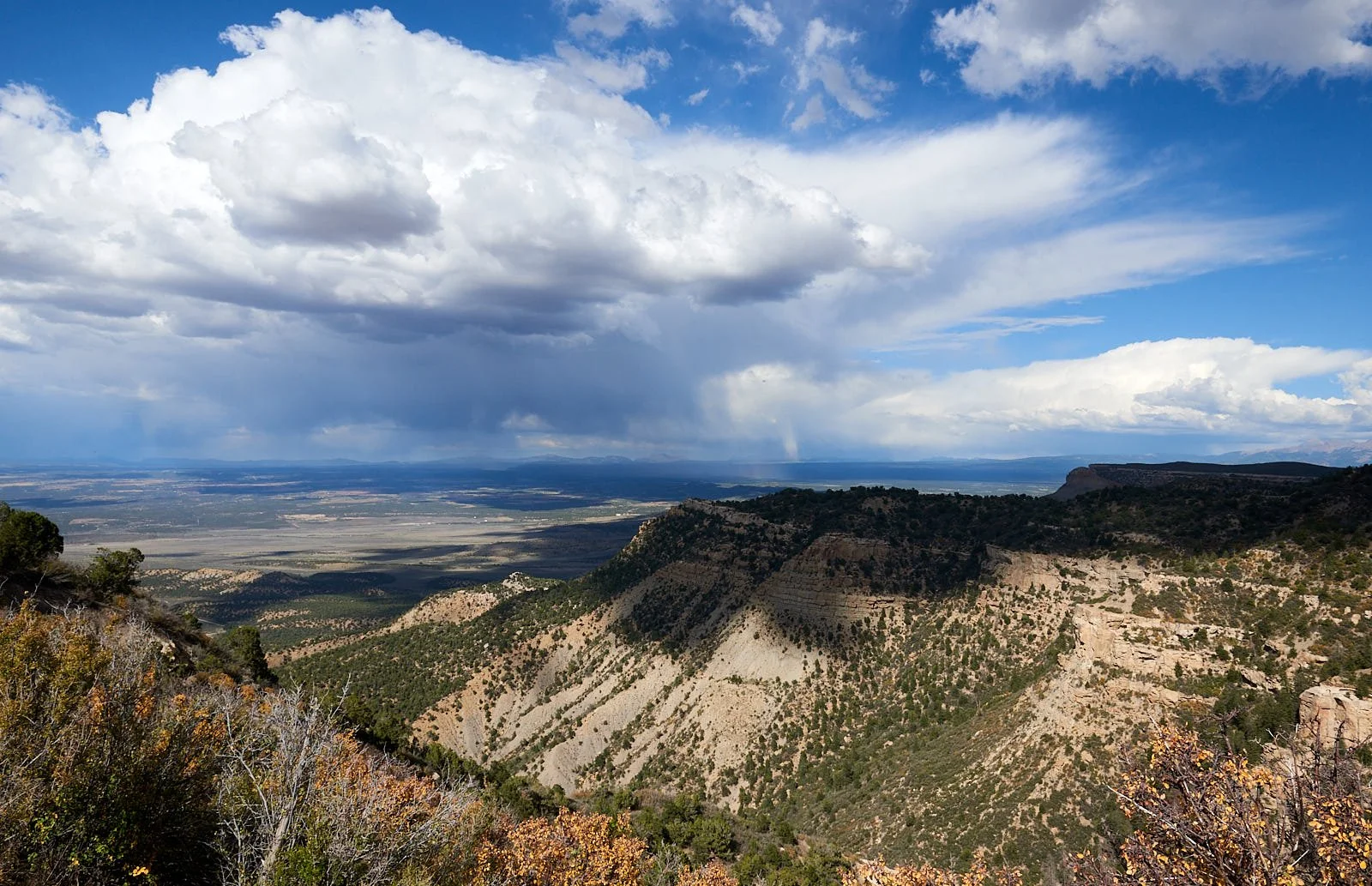
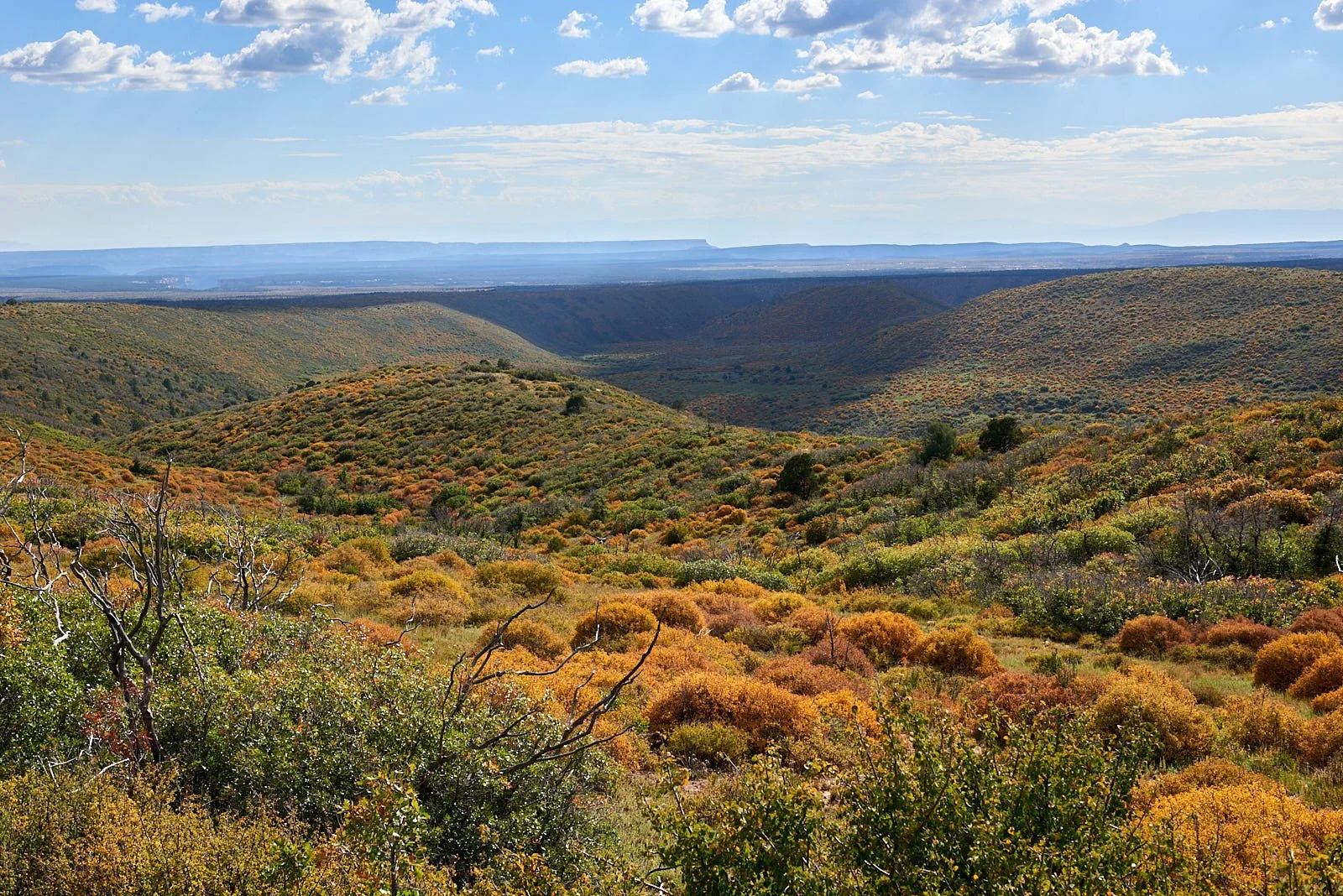
The Mountain West, an exploratory tour: September, 2022
Climate Wisdom
“A frog does not drink up the pond in which it lives”. (Native American saying)
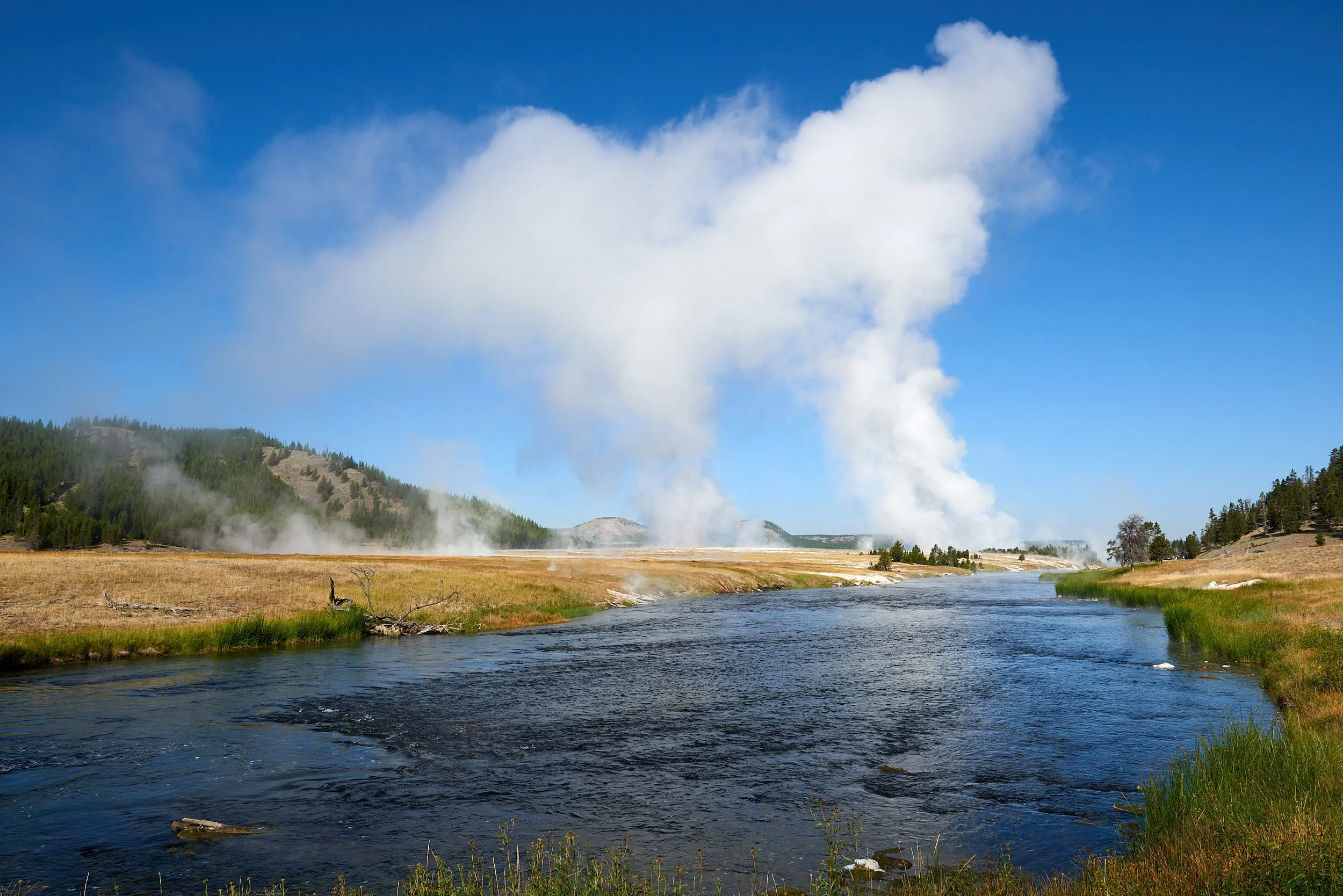
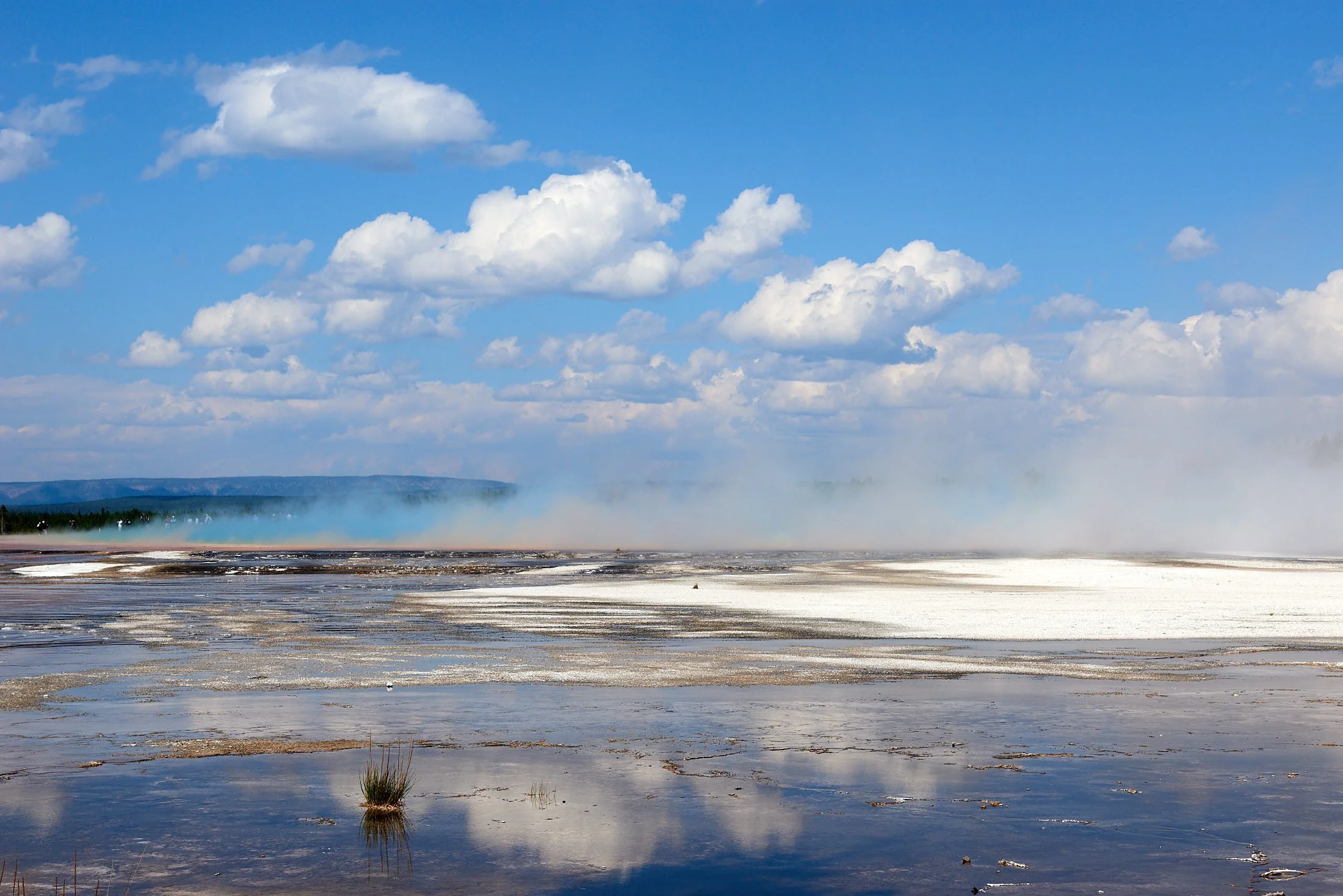
Morning steam. Lower Geyser Basin, Yellowstone National Park, Wyoming
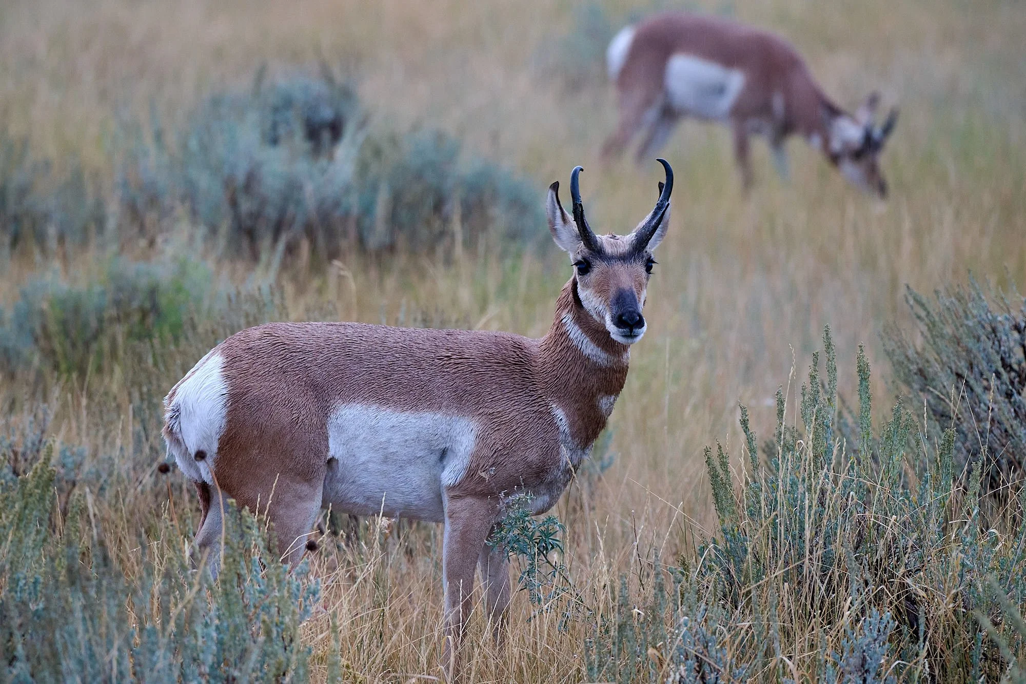
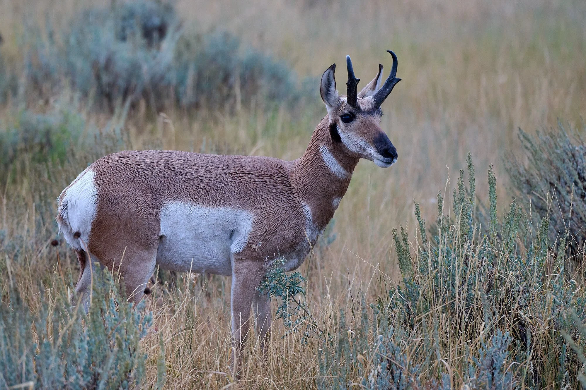
Dawn encounter with Pronghorn Antelope, soon after it rained. Grand Teton National Park, Wyoming
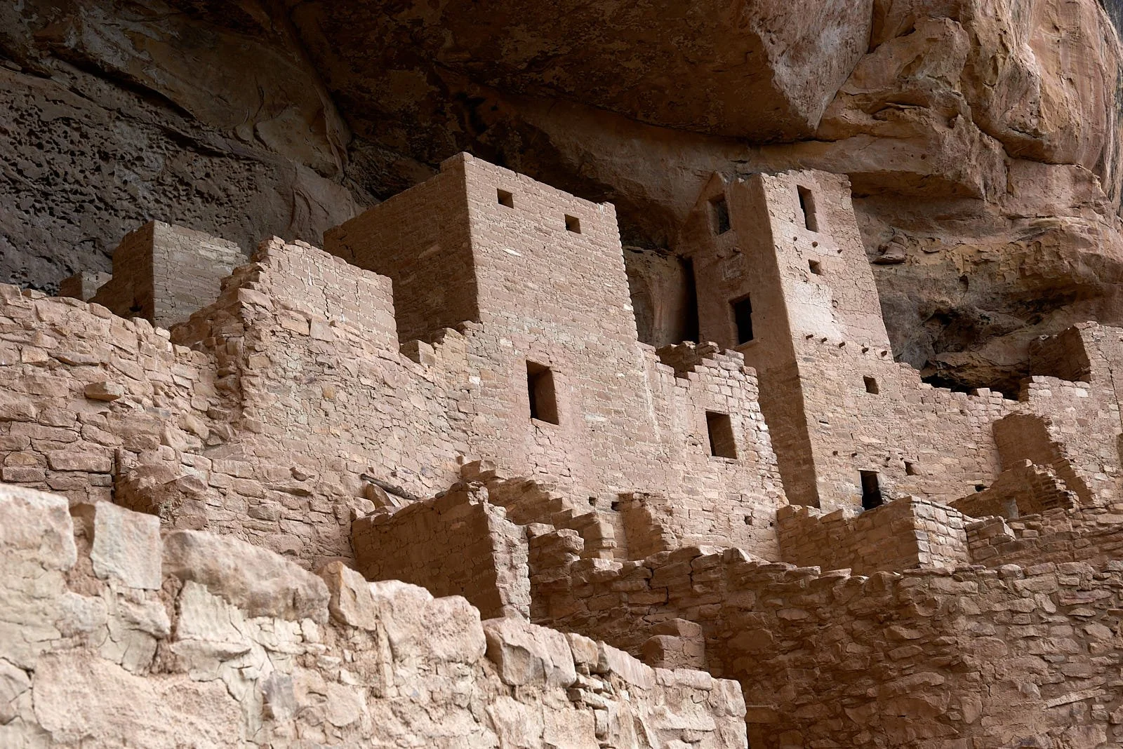
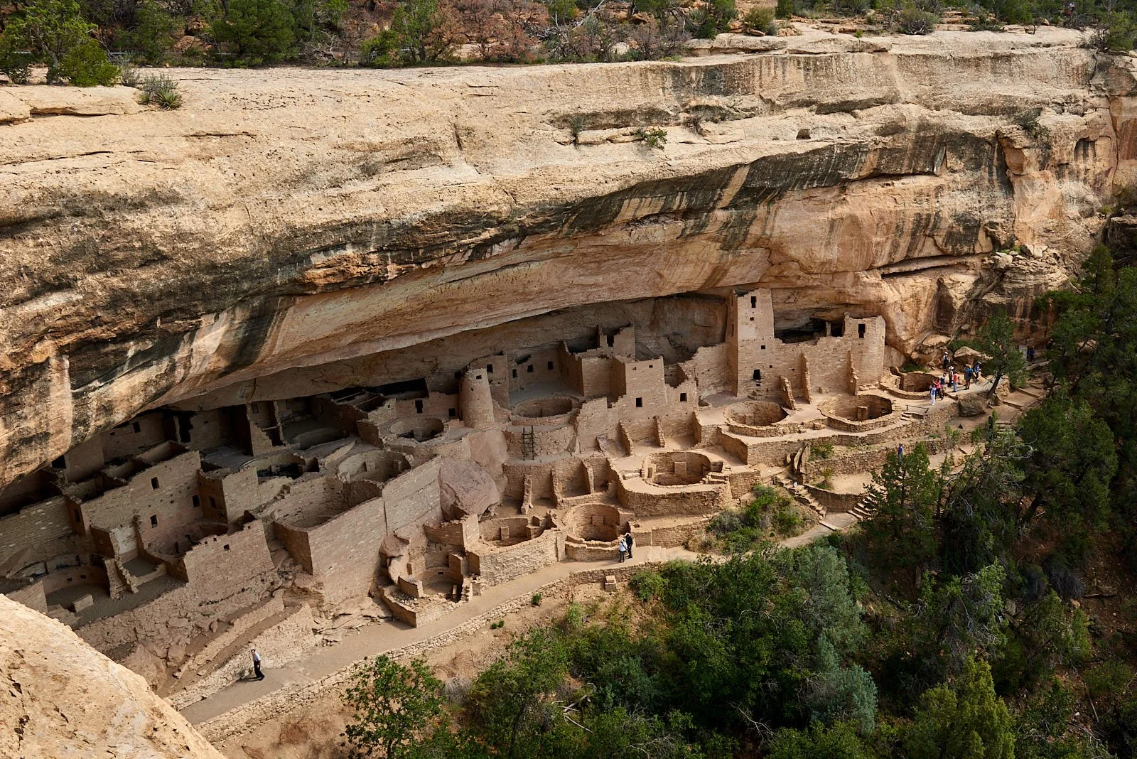
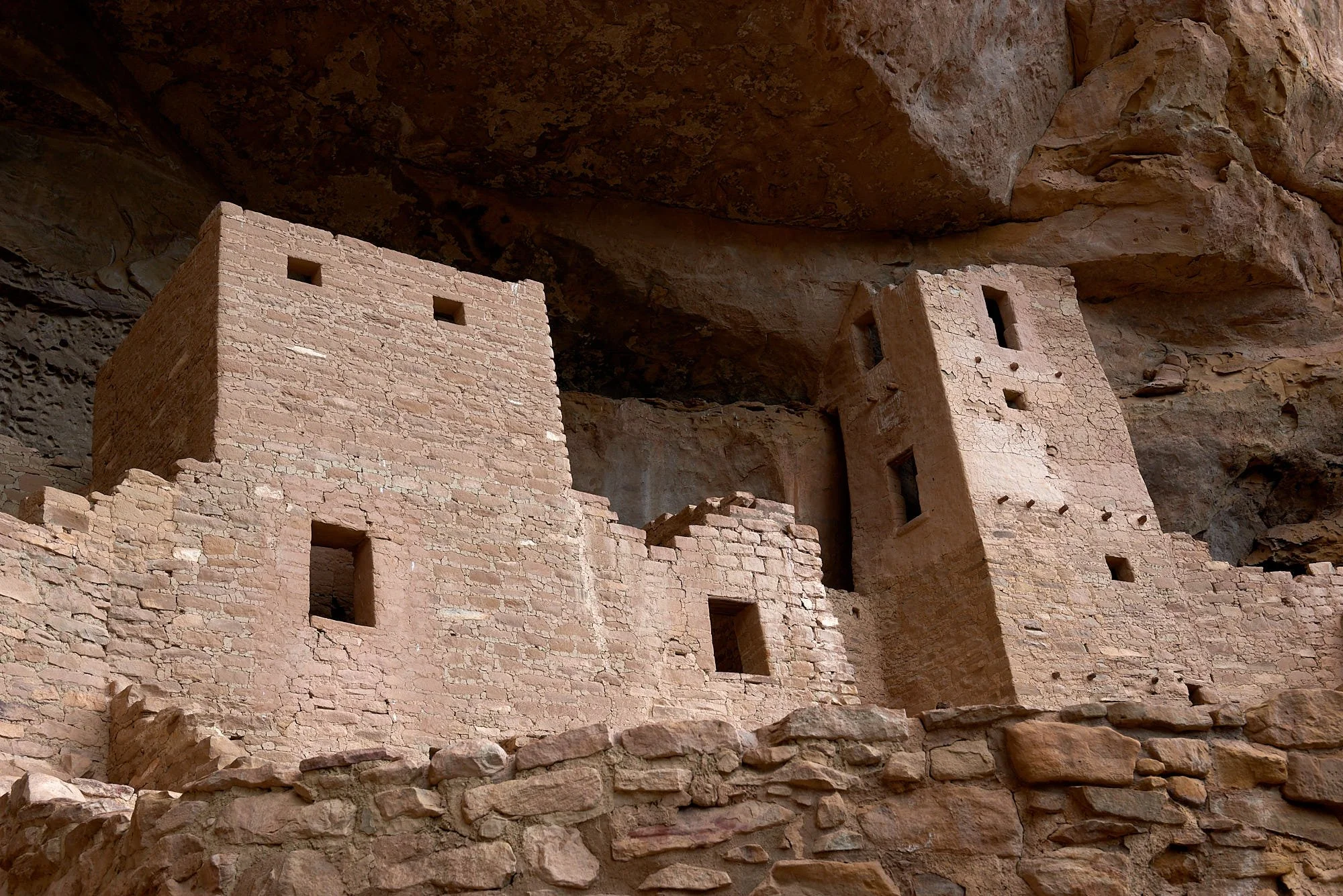
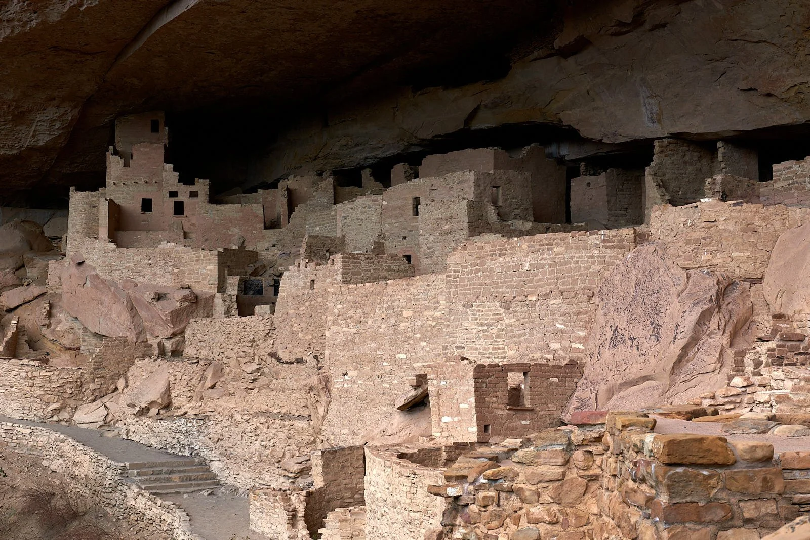
Living on the edge. Cliff Palace, Mesa Verde National Park, Colorado
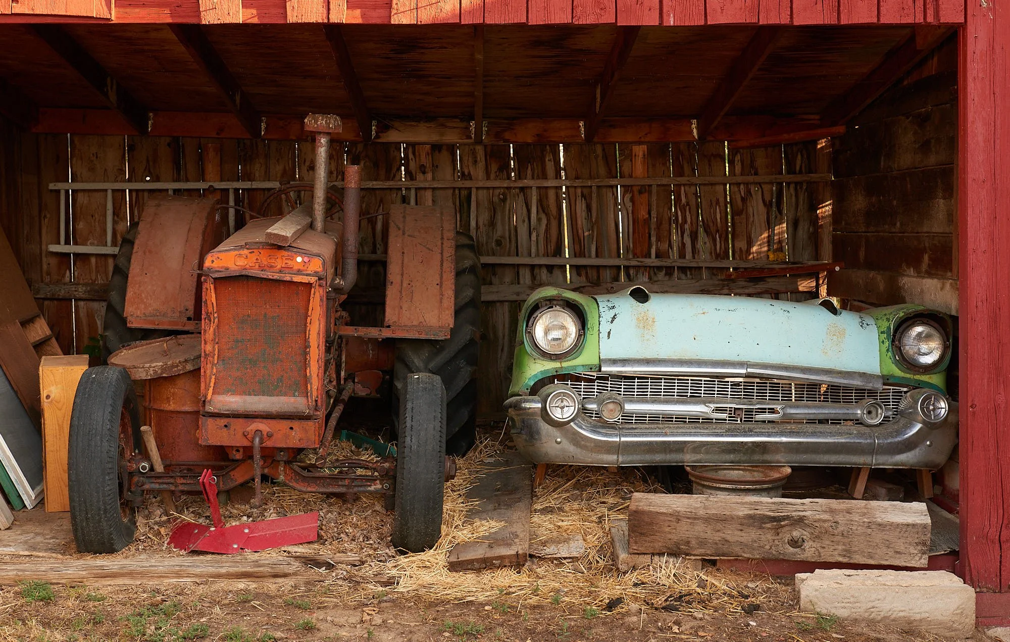
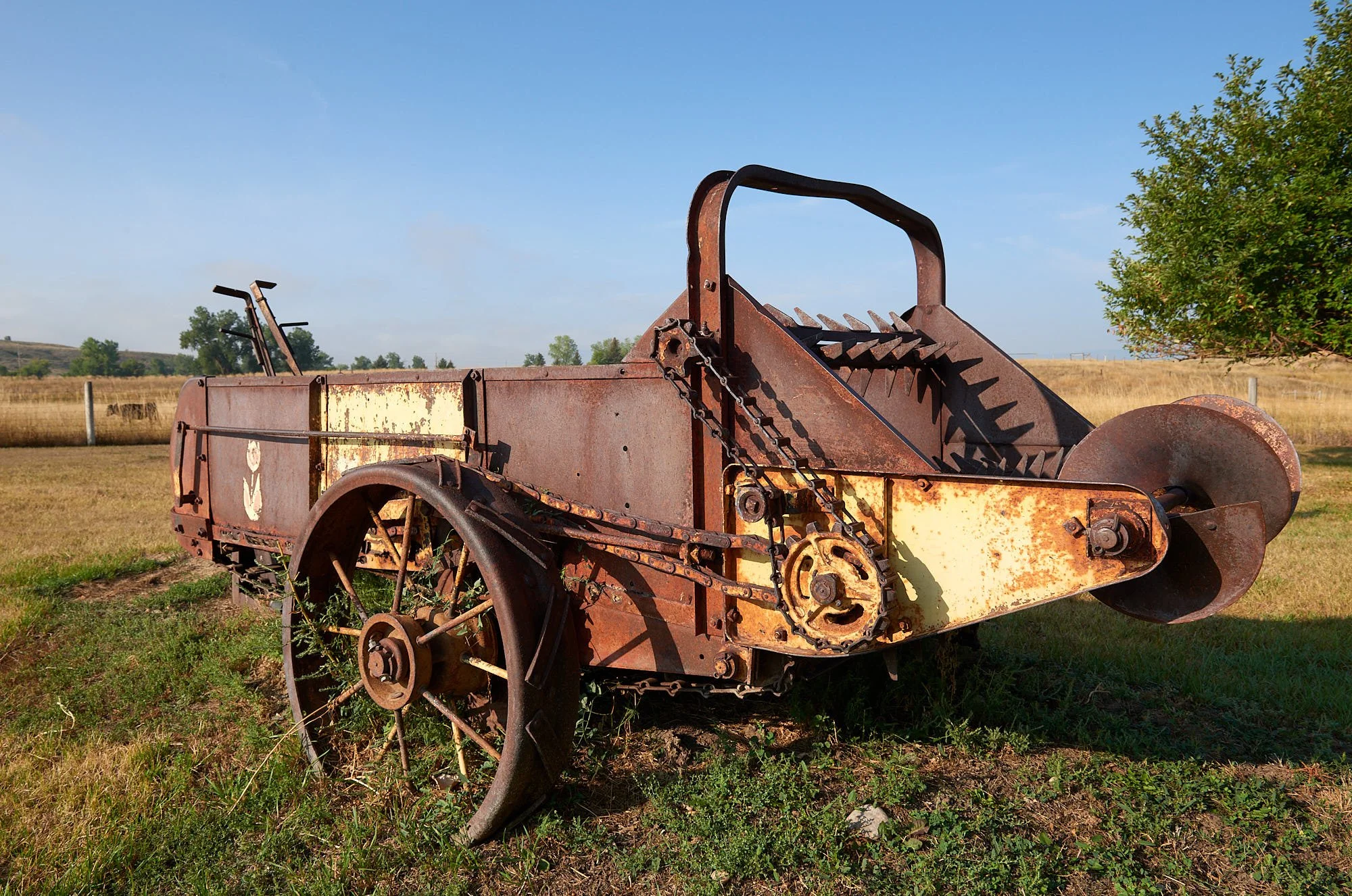
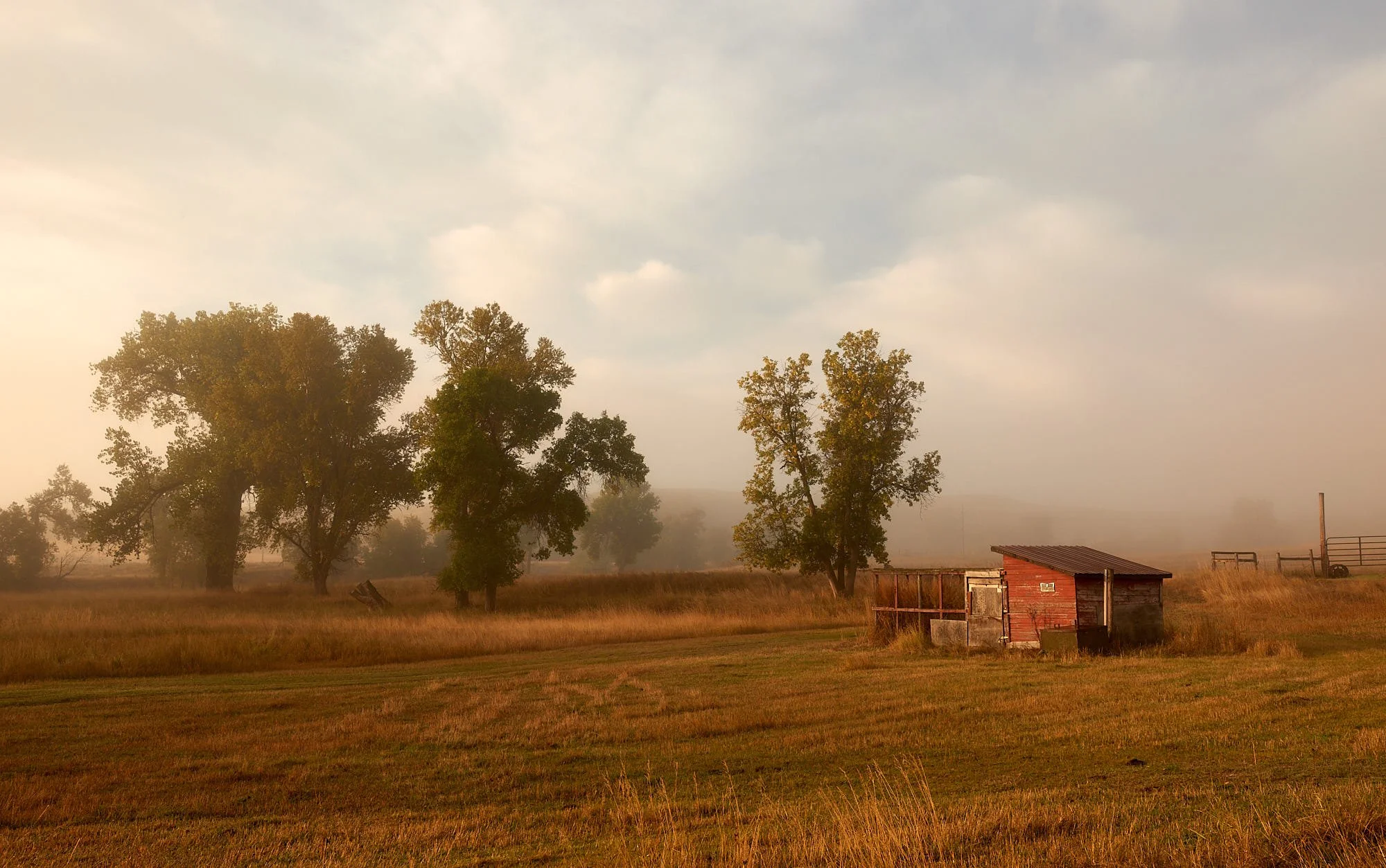
Past glories: farm shed, Wyoming.
Trip motivation
Our good friends Mary and John invited us to visit with them at their family farm in northern Wyoming. The region would be new country for us, so we added some stops along the way. As a consequence, the trip became a six-week tour of 8 States (California, Nevada, Idaho, Montana, Wyoming, Colorado, Utah, Arizona) and 3 geologic provinces (Rocky Mountain, Colorado Plateau, Basin and Range).
Of course, one could spend years learning about one State but, with the bravado of the ill-informed, we offer our first impressions of the spectacular Mountain West. Two dominant themes emerged: plate tectonics and human cultures.
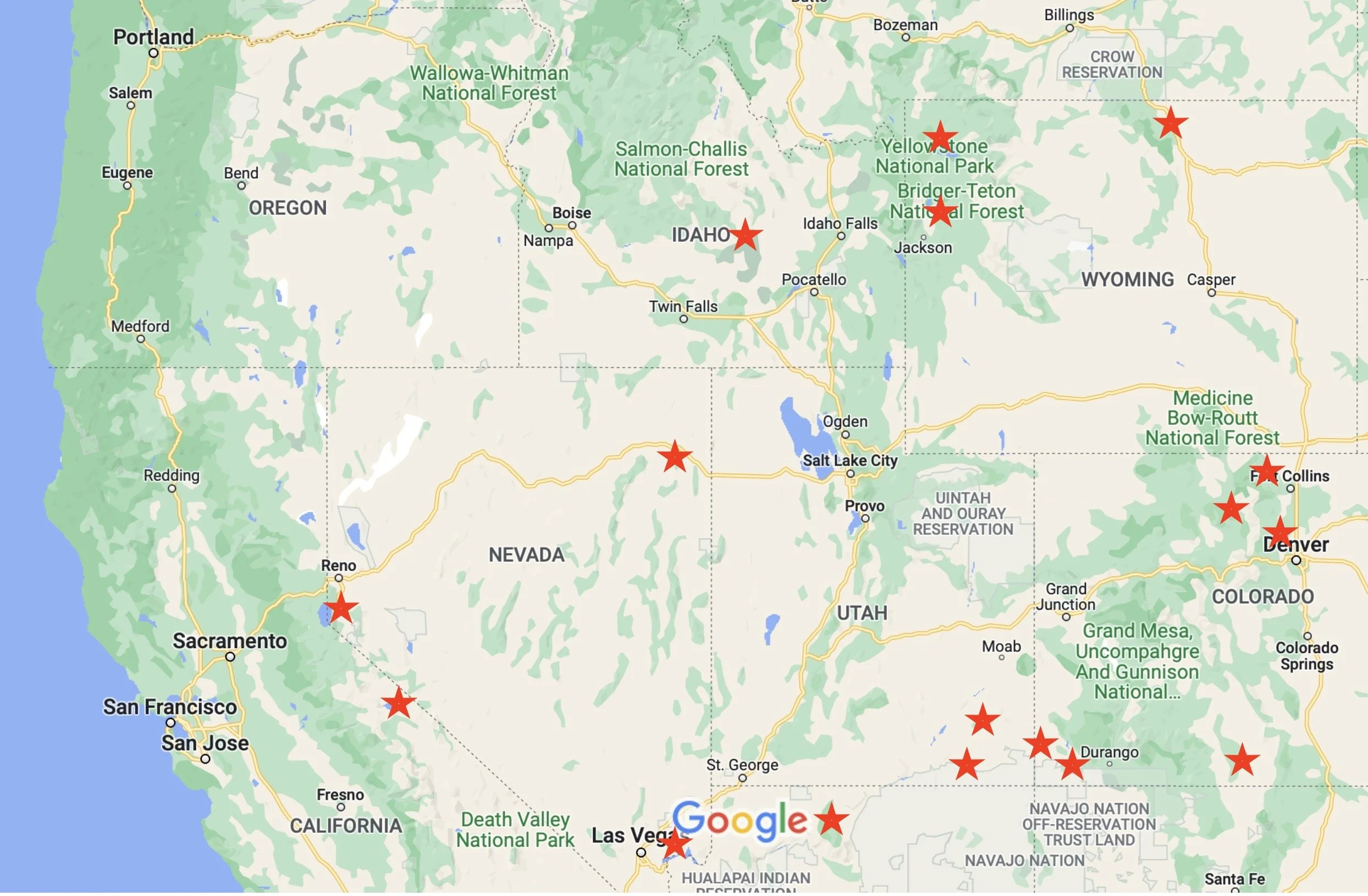
Our Route
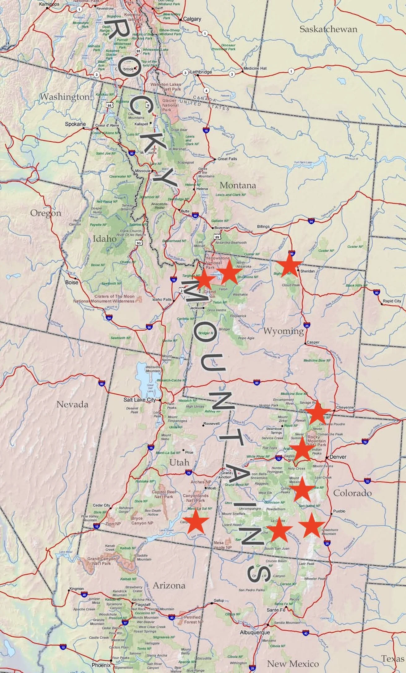
Wyoming took the prize for the best highways - smooth ride, minimal traffic and uncluttered vistas. We savored luxurious accommodation at two locations - Mary & John’s farmhouse near Sheridan; Rachel & Stu’s home in Boulder, CO. Greatly appreciated! Elsewhere, we mostly camped in designated campgrounds. Our sojourn in highly-visited parks allowed us to survey the vast spectrum of camping options that people employ. Most folk seem happy with their set up - even the tent campers when it poured.
Red stars indicate places where we stayed.
Craters of the Moon National Monument and Preserve, Idaho
It’s on the way to Yellowstone and who can resist a Preserve with such a name?
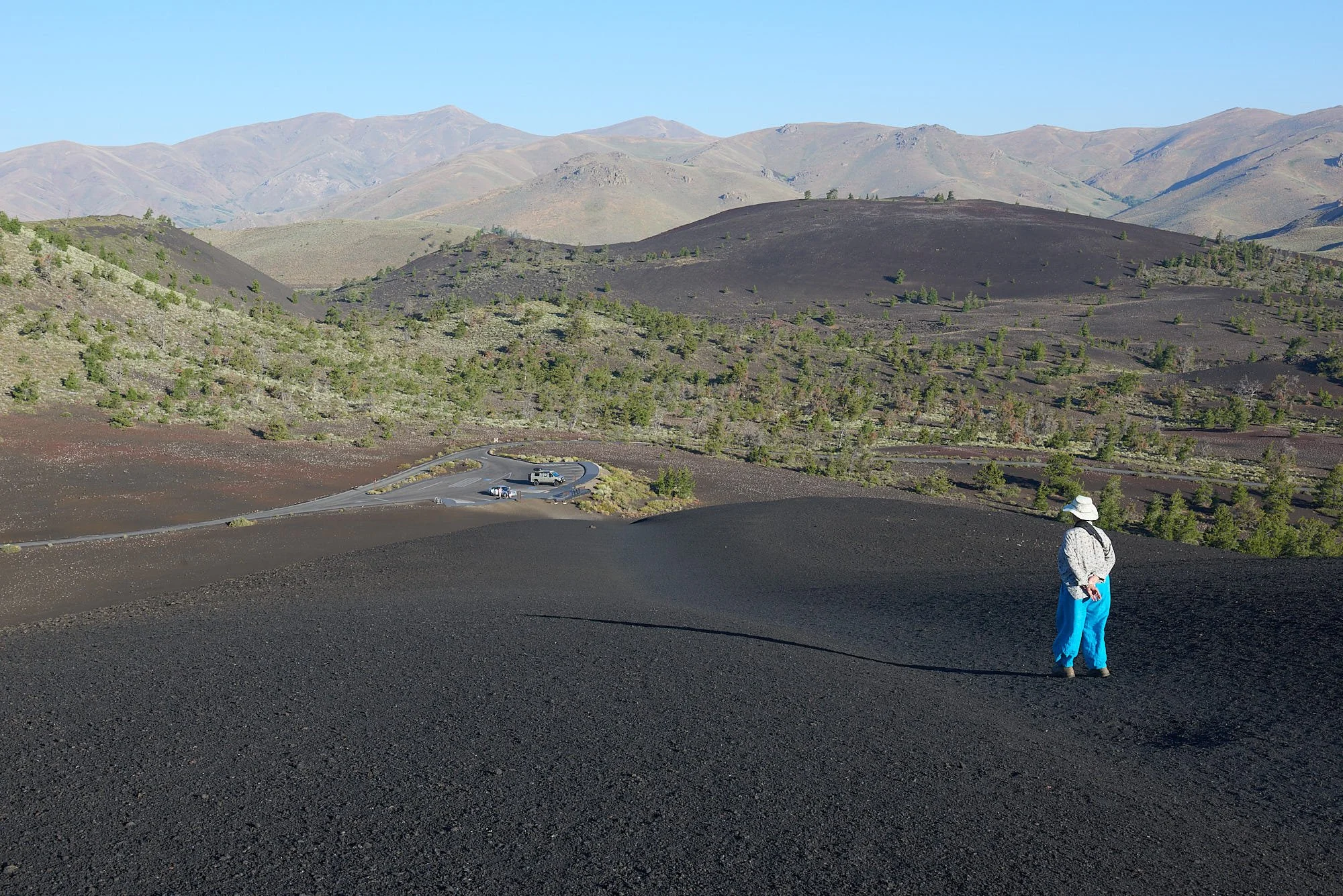
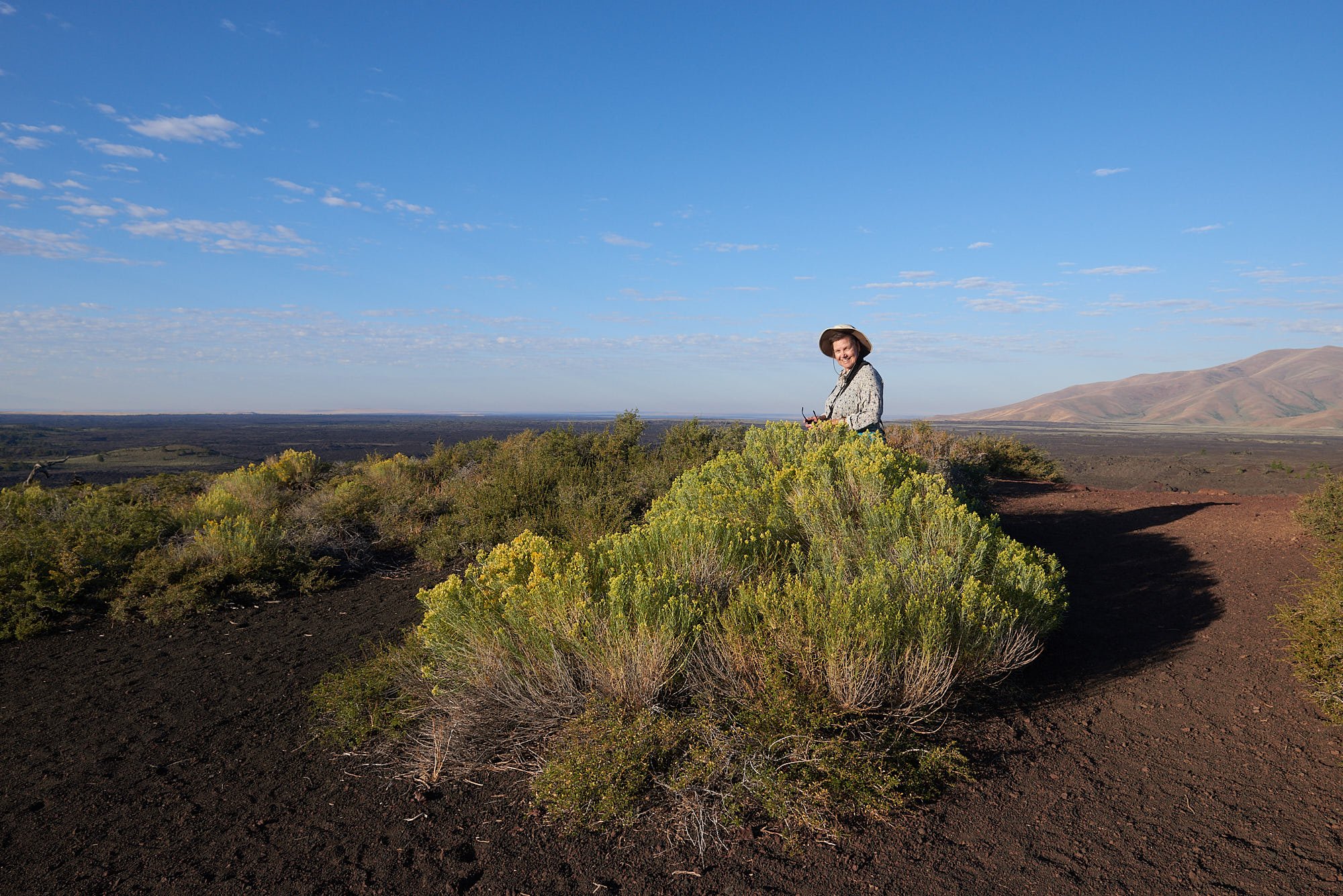
Inferno cone, looking north to the Pioneer Mountains & our Sportsmobile.
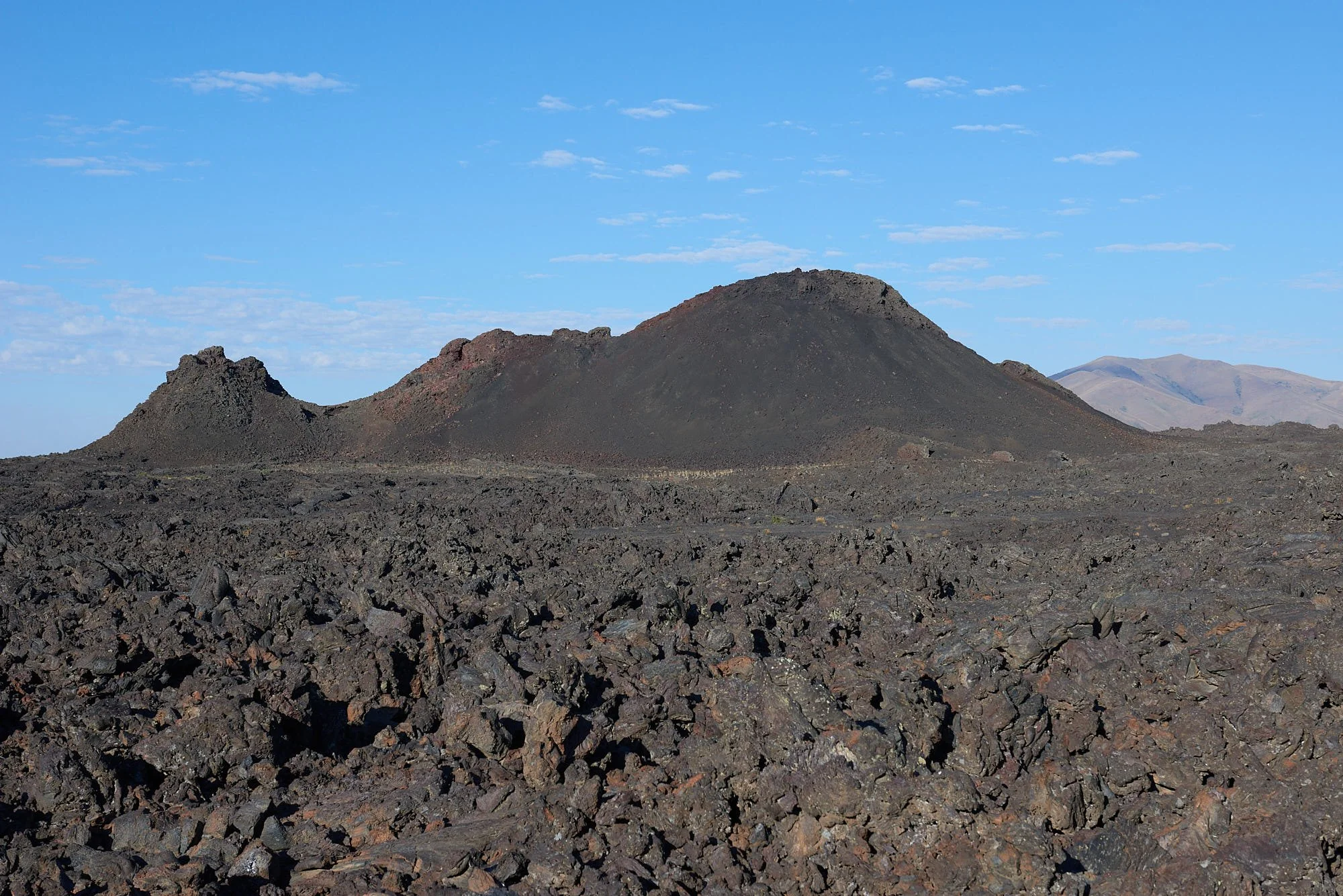
Left, Snow cone - a cinder cone nestled within a lava field; Right, Rabbit brush (Ericameria spp.) a common western arid-adapted plant.
Craters of the Moon geology
Craters of the Moon and the Snake River share a common geologic history. The Snake River (1,078 miles long) is the Columbia River’s largest tributary. It arises from three diminutive streams on the southwest flank of Two Oceans Plateau in Yellowstone and flows by the Craters of the Moon during its course through southern Idaho.
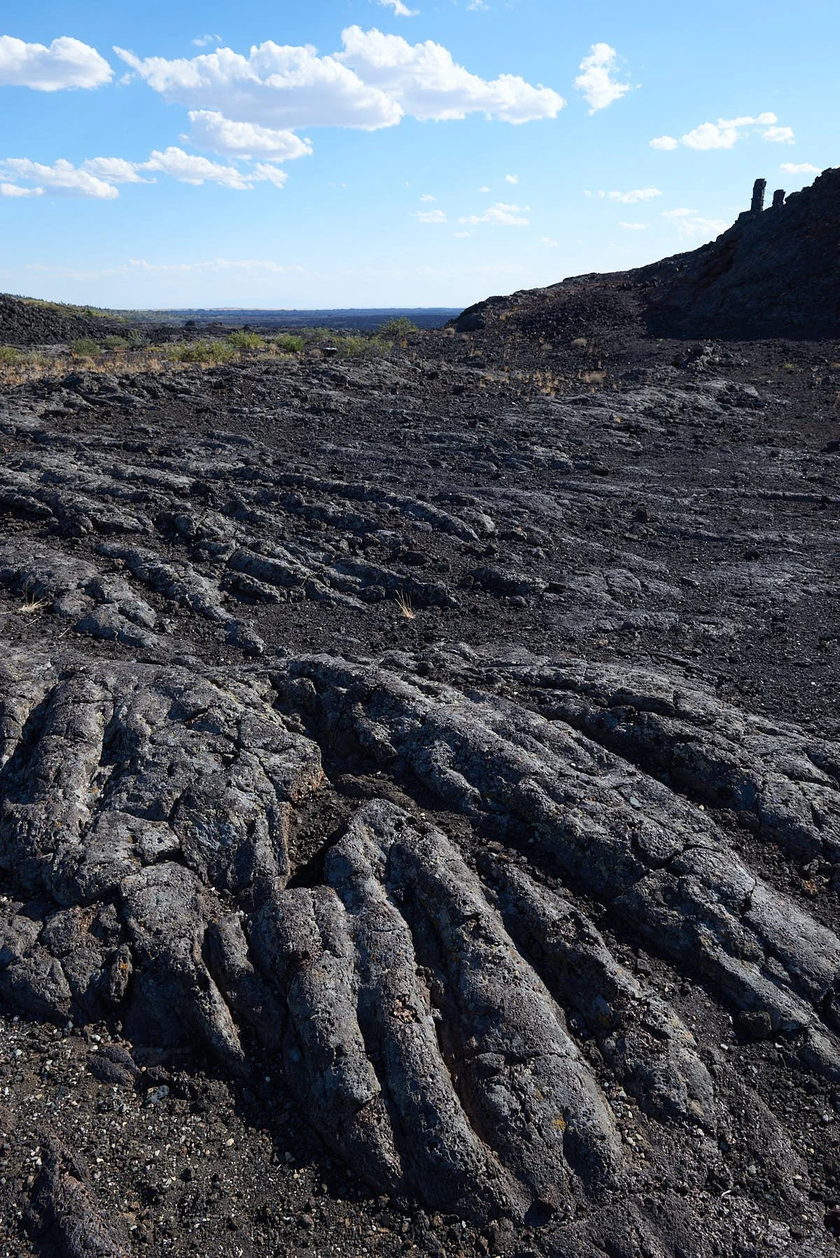
The Snake River Plain experienced extensive stretching of the earth’s crust for the past 30 million years which initiated a period of volcanic activity. Additionally, tectonic forces transported the region over the volcanic hot spot that currently lies below Yellowstone (more on this later). Massive amounts of basaltic lava were extruded which depressed the earth’s crust and provided a path westward for the Snake River.
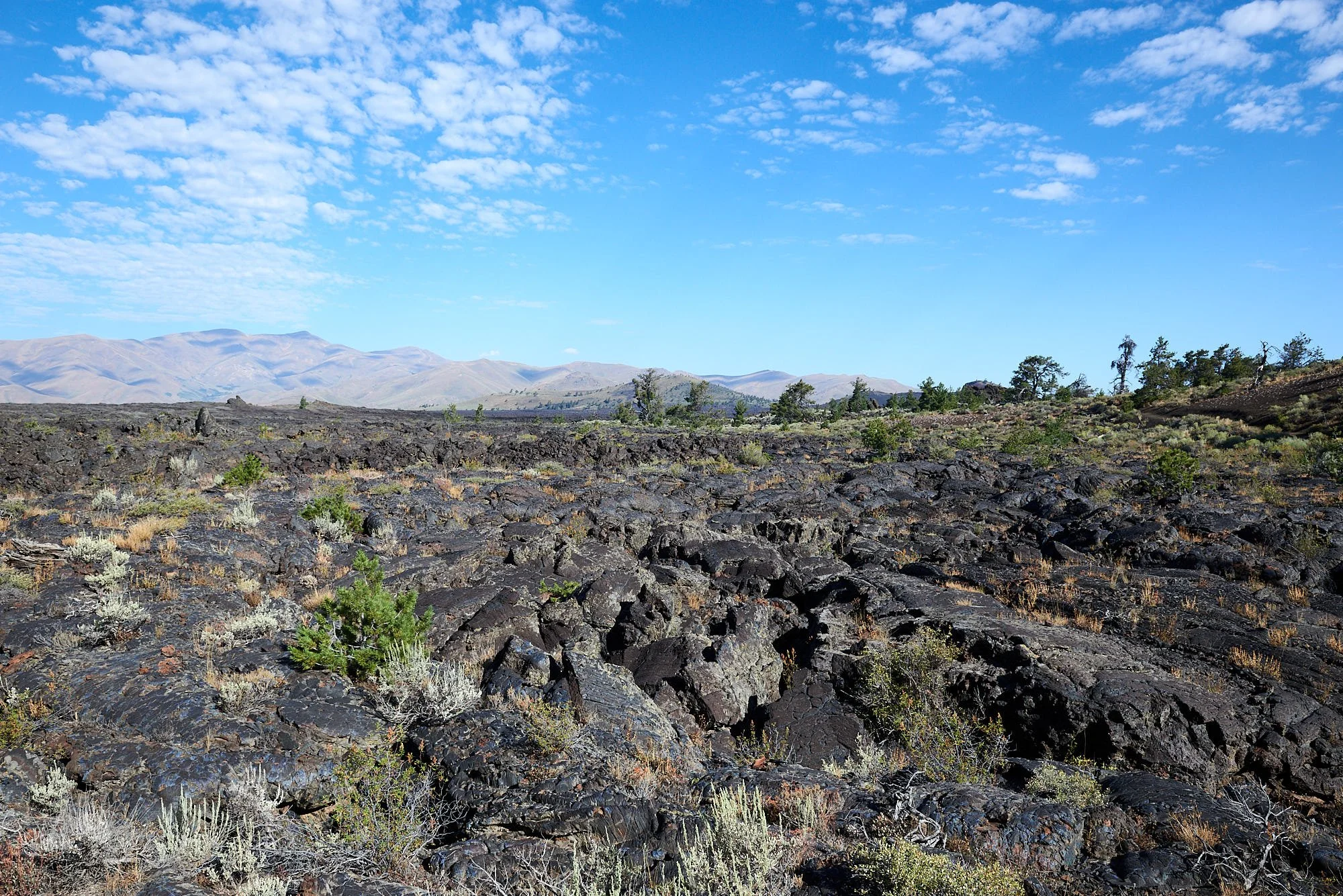
At Craters of the Moon, magma reached the surface via the Great Rift – a 52-mile series of deep cracks that start near the Visitor Center. The Monument’s topography formed during 8 major eruptive periods between 15,000 and 2,000 years ago. The time between eruptive periods averages 2,000 years. Therefore, another eruption is expected and predicted to begin along the central portion of the Great Rift. It will probably produce large-volume, non-explosive pahoehoe basalt flows.
Left: very fluid lava forms smooth, rope-like pahoehoe; Right: peering into a spatter cone and hoping magma doesn’t erupt!
People
Humans have inhabited the Snake River Plain since at least the end of the last Ice Age (12,000- 14,000 years ago). Archeological evidence suggests the Shoshone (from the upper Columbia River Basin) and Bannock (branch of the Northern Paiute) frequently visited Craters of the Moon. They usually lived as small, semi-nomadic family groups in the summer, searching for food throughout the plain and into the mountain valleys. Camas root from the Camas Prairie, migrating salmon from the Snake River, and game such as deer and pronghorn were staples of their diet. By about 1700 the Shoshone and Bannock had acquired horses, which allowed them to hunt for game such as bison farther afield on the plains of Montana and Wyoming.
From: https://www.nps.gov/crmo/learn/historyculture/native-americans.htm
Mythology
Given the presence of archeological sites and the recent nature of the lava flows, it's possible that early inhabitants witnessed eruptions along the Great Rift. The following serpent legend illustrates likely first-hand knowledge of such events.
Long, long ago, a huge serpent, miles and miles in length, lay where the channel of the Snake River is now. Though the serpent was never known to harm anyone, people were terrified by it. One spring, after it had lain asleep all winter, it left its bed and went to a large mountain in what is now the Craters of the Moon. There it coiled its immense body around the mountain and sunned itself. After several days, thunder and lightning passed over the mountain and aroused the wrath of the serpent. A second time flashes of lightning played on the mountain, and this time the lightning struck nearby. Angered, the serpent began to tighten its coils around the mountain. Soon the pressure caused the rocks to begin to crumble. Still the serpent tightened its coils. The pressure became so great that the stones began to melt. Fire came from the cracks. Soon liquid rock flowed down the sides of the mountain. The huge serpent, slow in its movements, could not get away from the fire. So it was killed by the heat, and its body was roasted in the hot rock. At last the fire burned itself out; the rocks cooled off; the liquid rock became solid again. Today if one visits the spot, he will see ashes and charred bones where the mountain used to be. If he will look closely at the solidified rock, he will see the ribs and bones of the huge serpent, charred and lifeless.
(From: Ella Clark, Indian Legends of the Northern Rockies, p. 193-194)
Lava along the Tree Molds Trail
Yellowstone National Park
Established in 1872, the world’s first national park receives about 4 million visitors annually and is familiar to many. We came with the hope of viewing megafauna but soon realized that the Park’s volcanic history is central to understanding the spectacular ecosystem. During our two-week stay in Yellowstone and Grand Tetons, we also learned that the massive through-put of tourists significantly blunts the wilderness experience unless one departs from well-travelled routes.
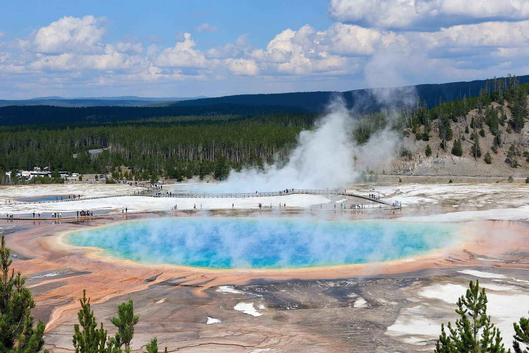
Grand Prismatic Spring (370 ft wide, 121 ft deep) is the largest hot spring in Yellowstone. Viewed from Fairy Falls trail.
Grand Prismatic Spring viewed at ground level.
Yellowstone Hot Spot
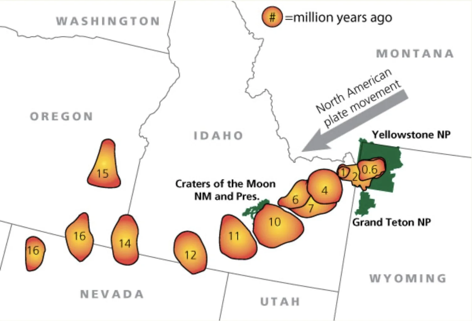
About 16.5 million years ago, an intense period of volcanism initiated near present-day Nevada, Oregon, and Idaho. A 500-mile trail of more than 100 calderas can be traced across Idaho’s Snake River Plain towards Yellowstone and was created when the North American plate moved in a southwestern direction over a shallow body of magma. The Yellowstone area moved close to the hot spot a little over 2 million years ago.
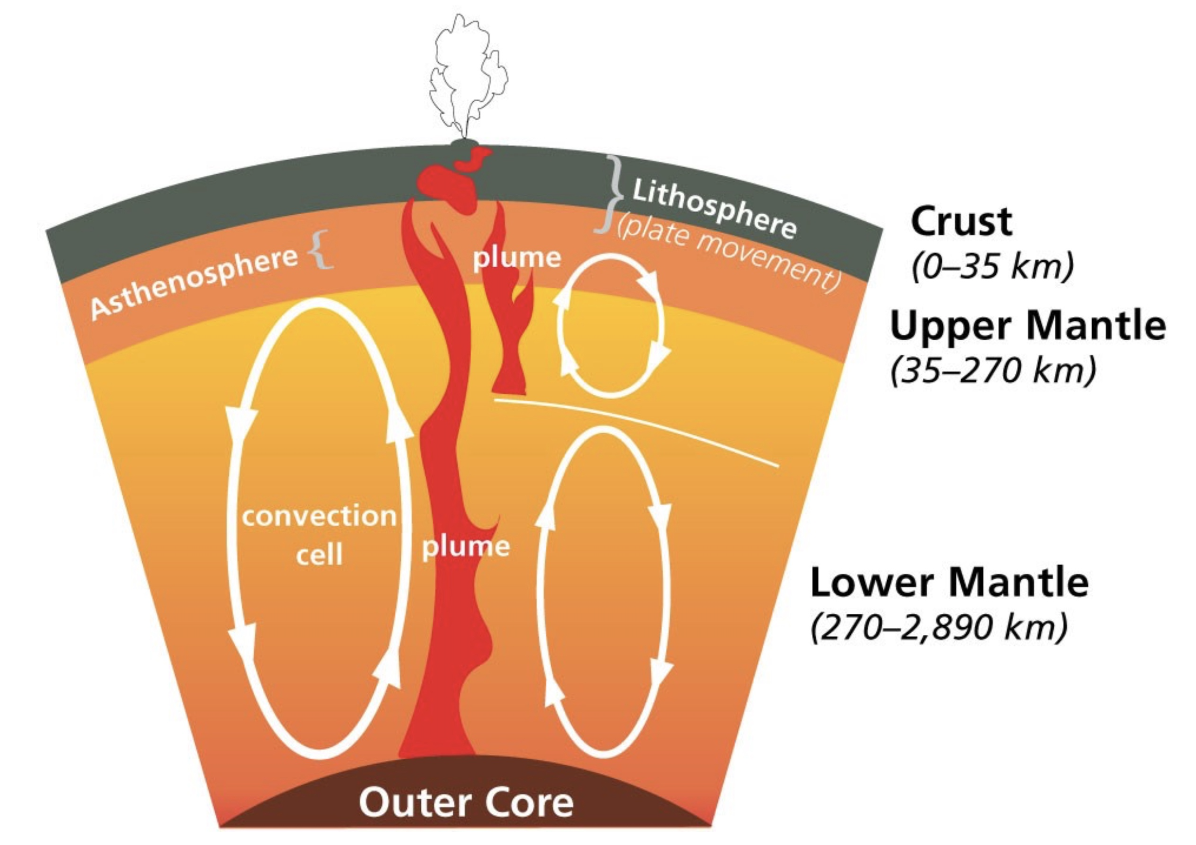
How do hot spots form?
Magma circulates in convection cells. A hot spot may arise from a heated plume originating from the mantle-core boundary (left side of diagram), or from a plume situated higher up in the mantle (right side of diagram).
The magma reservoirs of the Yellowstone hot spot originate at a much shallower depth than the mantle plume.
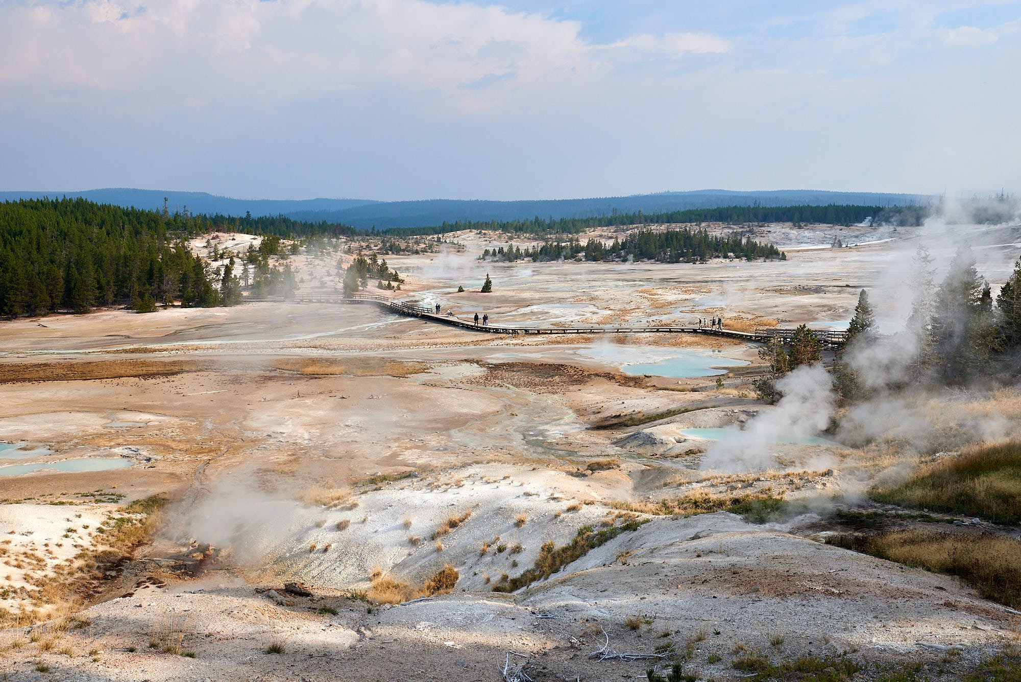
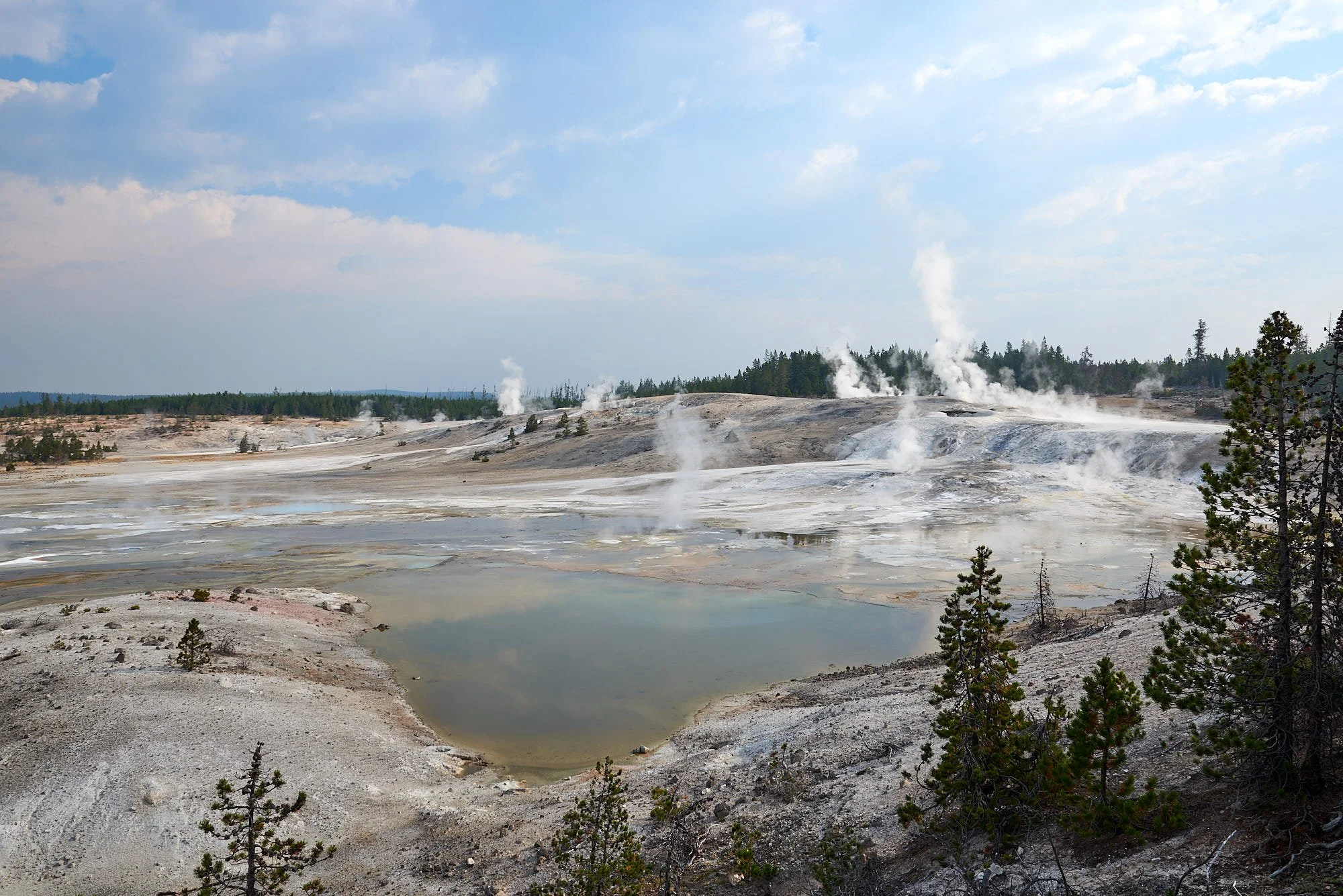
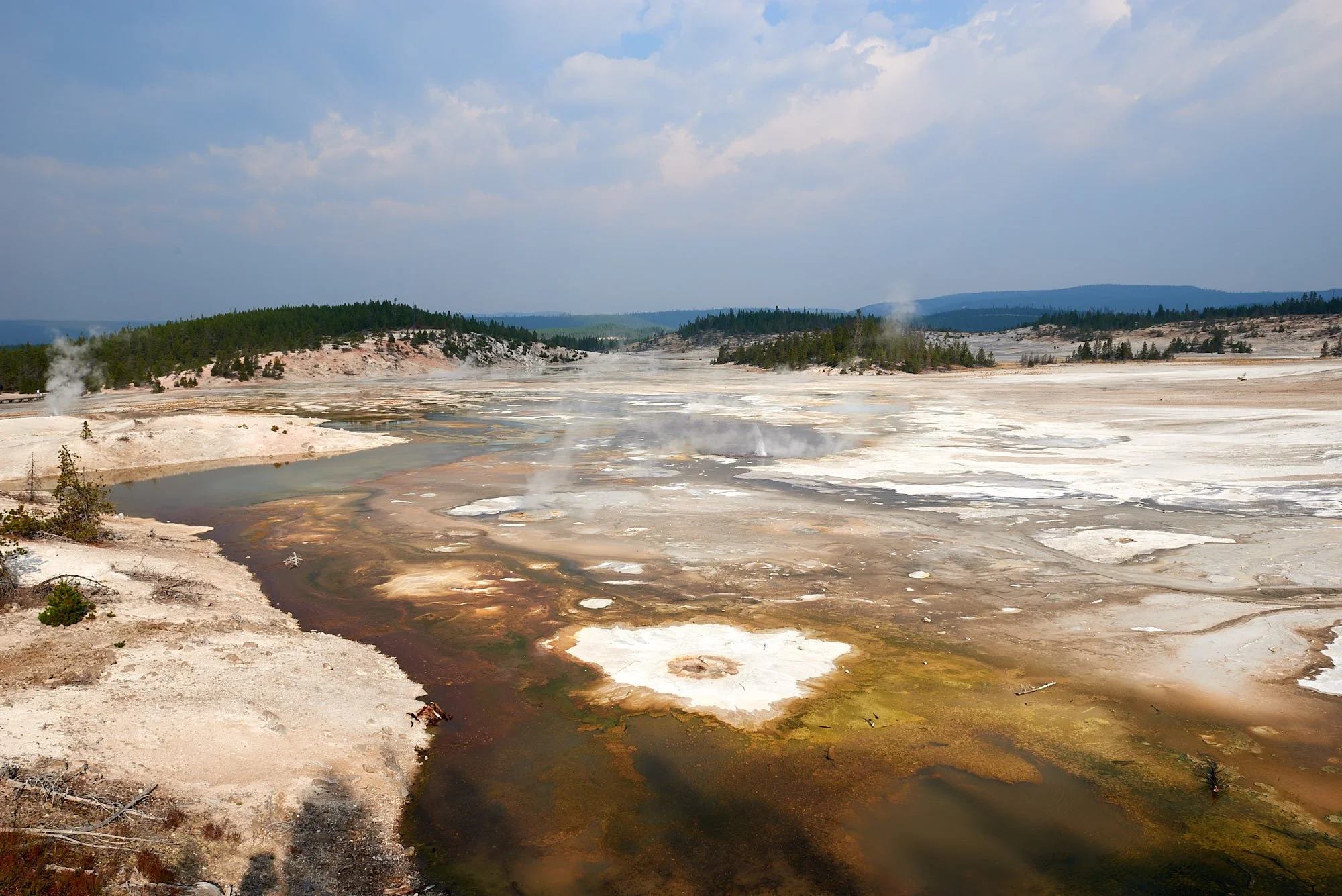
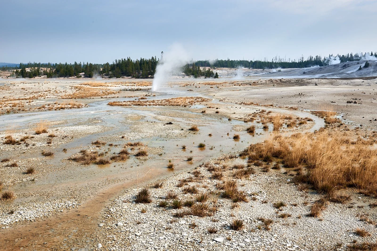
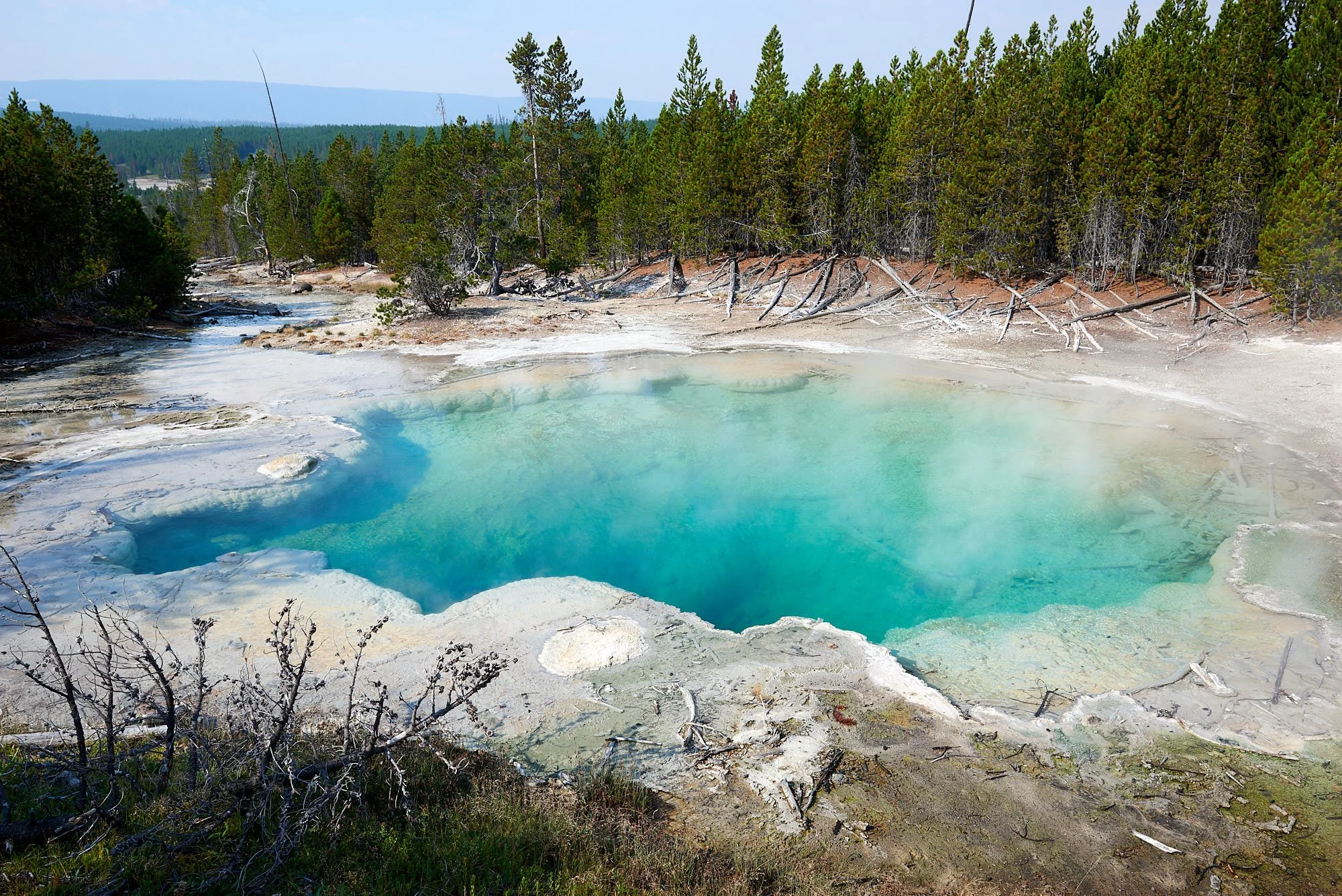
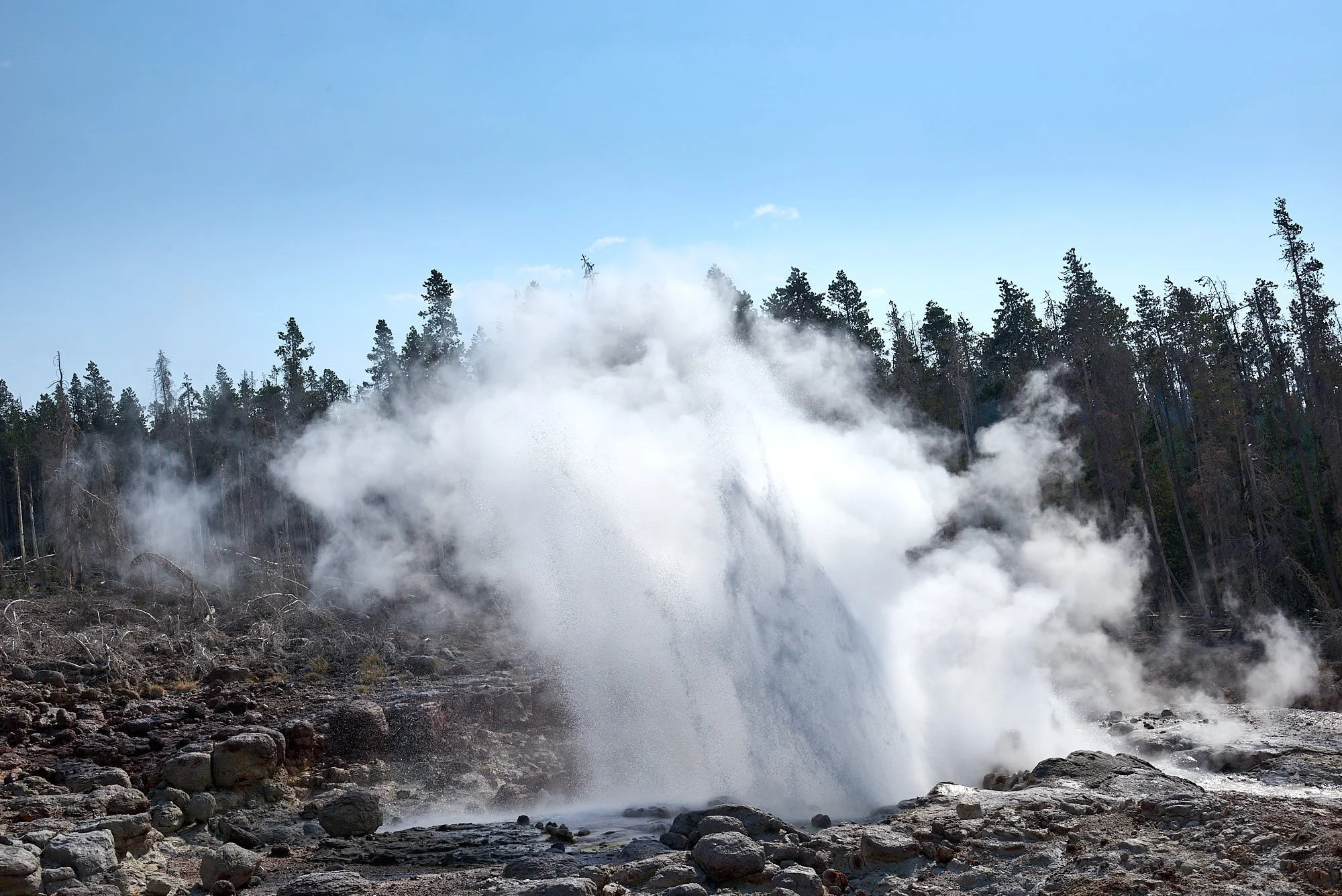
Norris Geyser Basin (all images) is the hottest and most acidic of Yellowstone’s hydrothermal areas. The place seems to be constantly boiling. Steamboat can blast water to a height of >300 ft - the world’s tallest geyser. A drenching storm blew through while we were visiting, adding an exclamation point to Nature’s raw power beneath our feet.
Yellowstone’s Calderas
2.1 million years ago, heat from the shallowest magma reservoir caused an area of the crust above it to expand and rise. Stress on the overlying crust resulted in increased earthquake activity along newly formed faults. Eventually, these faults reached the magma chamber and magma oozed through the cracks. Escaping magma released pressure within the chamber, which also allowed volcanic gasses to escape and expand explosively in a massive volcanic eruption. Ash travelled as far as Missouri. As the underground magma chamber emptied, the ground above it collapsed and created the first of Yellowstone’s three calderas.
A second eruption occurred within the western edge of the first caldera approximately 1.3 million years ago. The third massive volcanic eruption 631,000 years ago created the present 30- by 45-mile-wide Yellowstone Caldera. Since then, 80 smaller eruptions have occurred. Approximately 174,000 years ago, one of these created what is now the West Thumb of Yellowstone Lake.
Pressure from the shallow magma body has formed two resurgent domes inside the Yellowstone Caldera (right image below). Magma may be as little as 3–8 miles beneath Sour Creek Dome and 8–12 miles beneath Mallard Lake Dome, and both domes inflate and subside as the volume of magma or hydrothermal fluids changes beneath them.
Thermophiles
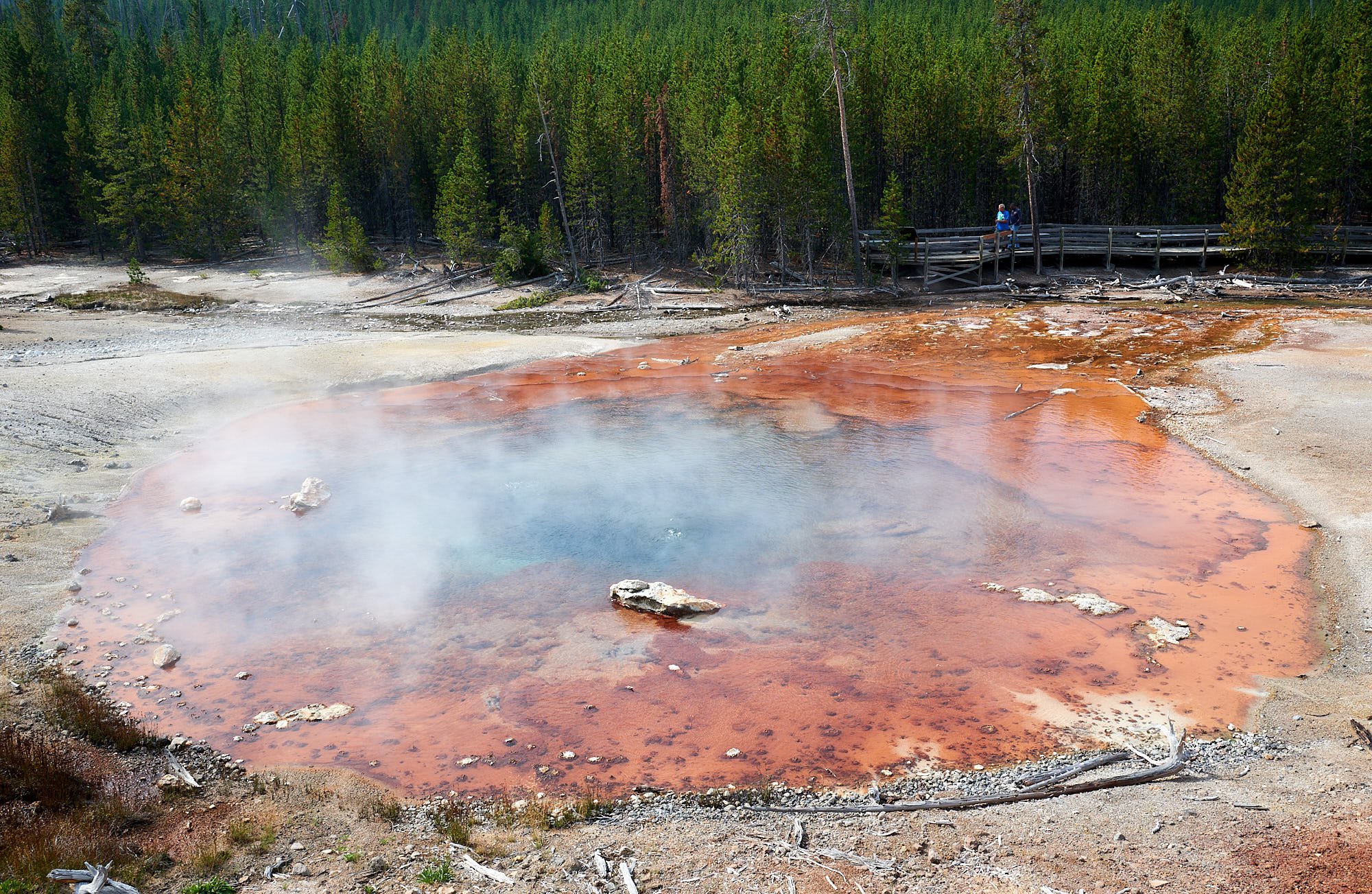
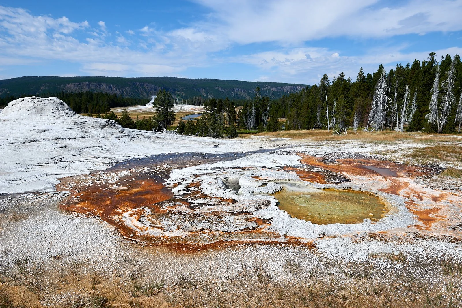
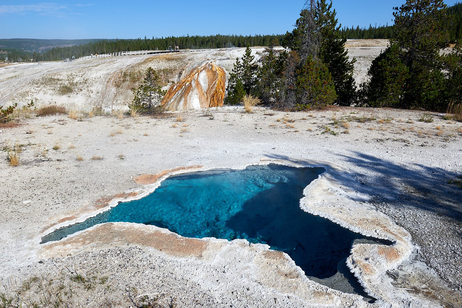
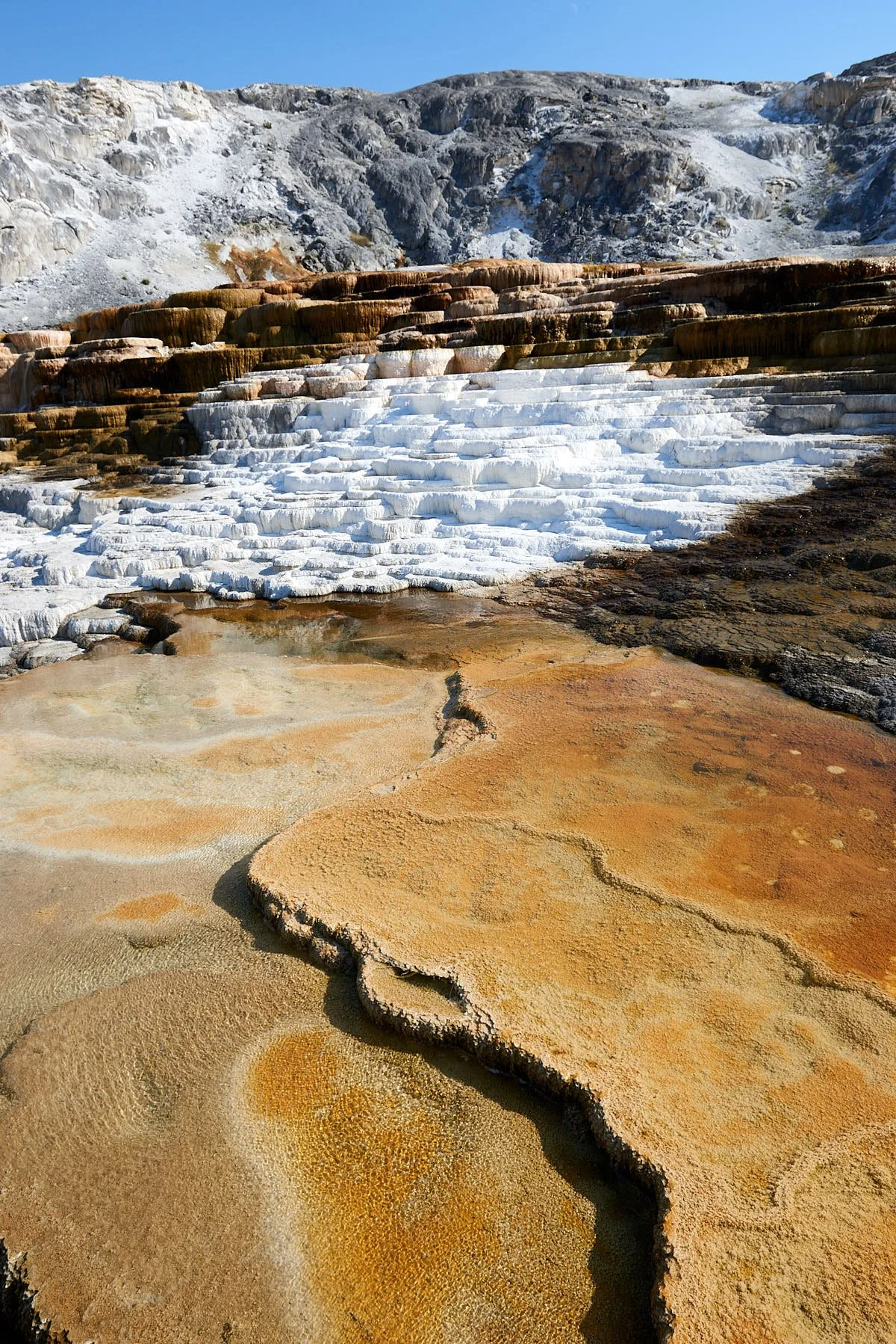
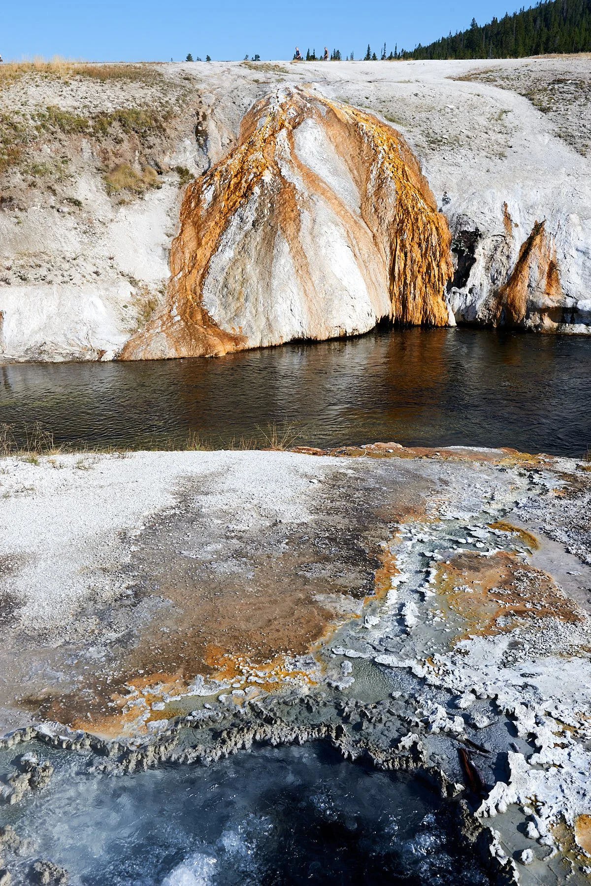
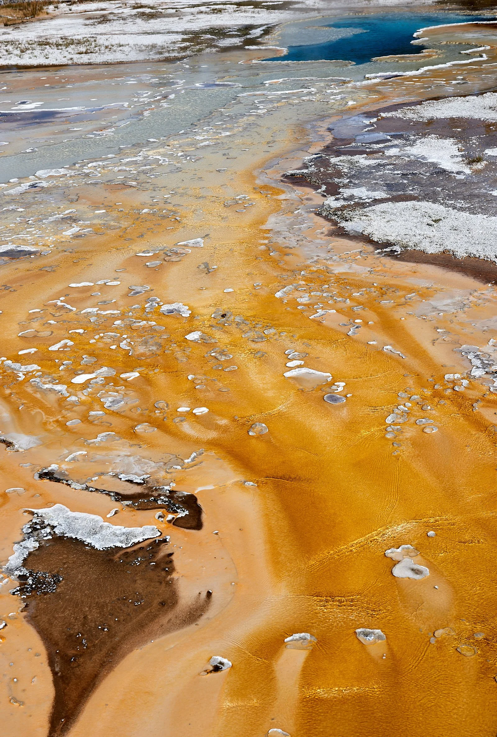
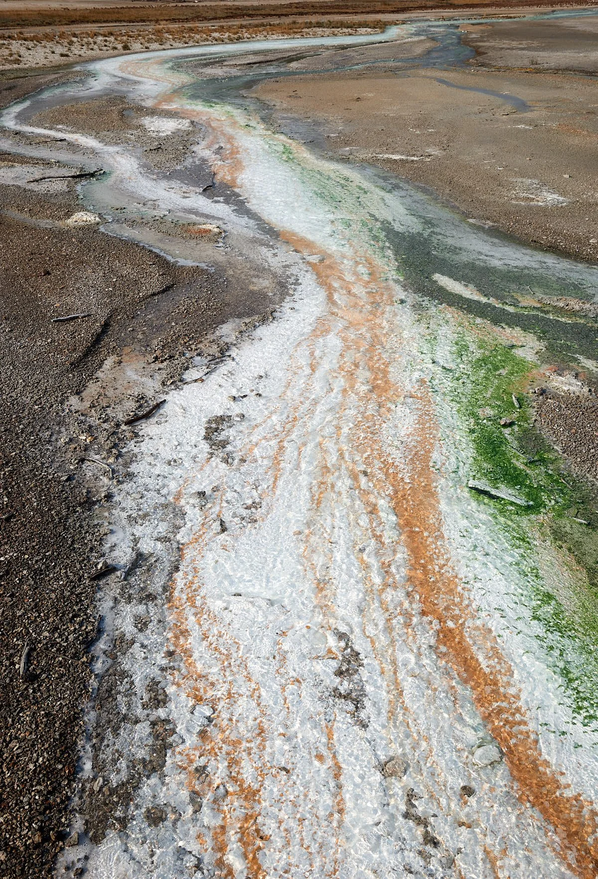
Thermophiles are viruses, bacteria, archaea and algae that can survive in conditions of high heat and acidity or alkalinity that would instantly kill most other life forms. They often aggregate to form colorful mats and many species have specific environmental requirements. Organisms that utilize sulphur deposits form yellow streamers in the hottest acidic runoff (140-180 degF). Brown, rust and red colors indicate microbes that metabolize iron and form communities at temperatures below 140 degF. Emerald green mats are mainly chlorophyll-containing algae living at temperatures below 133 degF and the coolest areas are occupied by dark green or black mats comprising Zygogonium algal species.
From: https://www.nps.gov/yell/learn/nature/hydrothermal-features.htm
All images: Thermophile color palate.
Resilience
The Park’s expansive size, rich volcanic soils, large variations in topography and wide diversity in habitats allow Yellowstone sustain a complex, unique ecosystem. It is a national treasure of perhaps increasing importance.
Of course, humans have left their mark - some positive, some less so. The area has been protected for 150 years but climate change reaches inside Park boundaries. Access to wild places educates people about natural systems. However, Park popularity generates its own issues. Yellowstone is expanding a program that transfers brucellosis-free surplus bison to Indian Reservations. However, most of the bison (usually young females) that migrate outside Park boundaries are killed and this management practice is altering the gender distribution of the Park’s herd. The illegal introduction of non-native sport fish into Yellowstone Lake decimated the cut-throat trout population, which adversely impacted elk populations through increased bear predation on elk calves.
From: https://www.nps.gov/yell/learn/management/bison-conservation-update.htm, Wild Migrations: Atlas of Wyoming's Ungulates. Eds: William J. Rudd, et al.
Top row: Left, Tow-headed Baby. Right, Blacktail deer ponds.
2nd row: Left, Upper Yellowstone Falls. Right, Yellowstone River.
3rd row: Left, Sulphur Cauldron. Right, West Thumb, Yellowstone Lake.
4th row: Both images: West Thumb Geyser Basin.
6th row: Left, Yellowstone River at Fishing Bridge. Right, Raven.
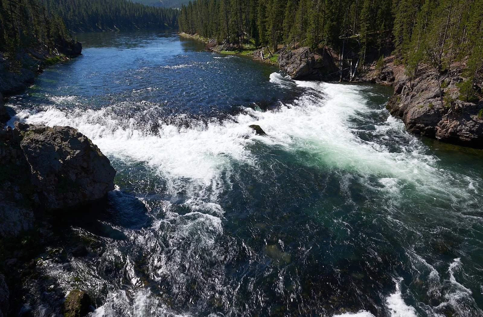
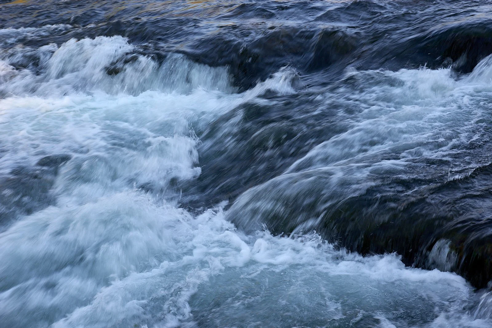
7th row: Left, West Thumb, Yellowstone Lake. Right, Yellowstone River at Le Hardy rapid.
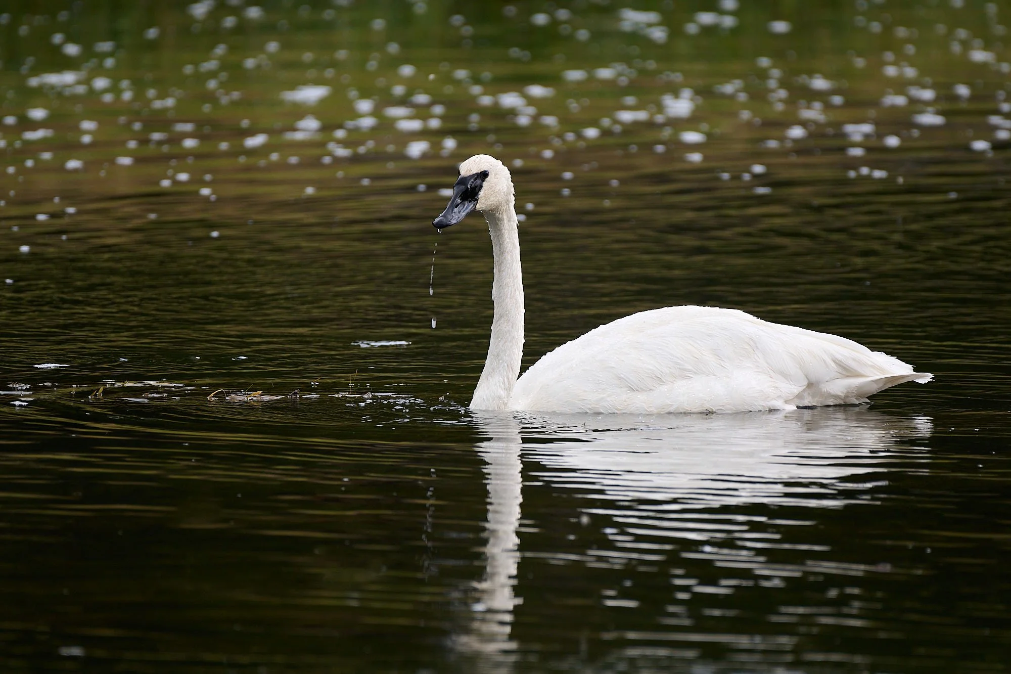
8th row: Left, West Thumb, Yellowstone Lake. Right, Trumpeter Swan.
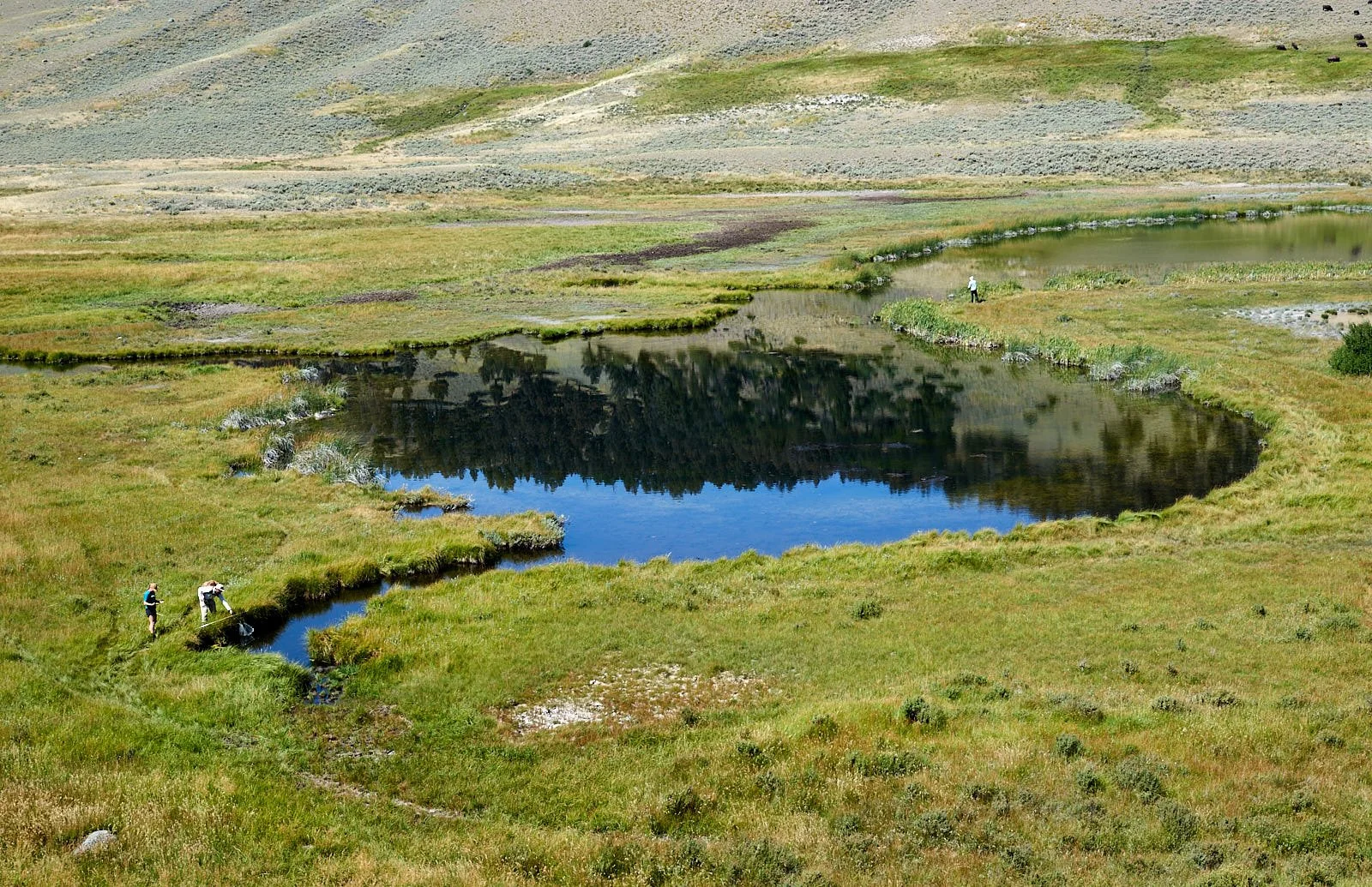
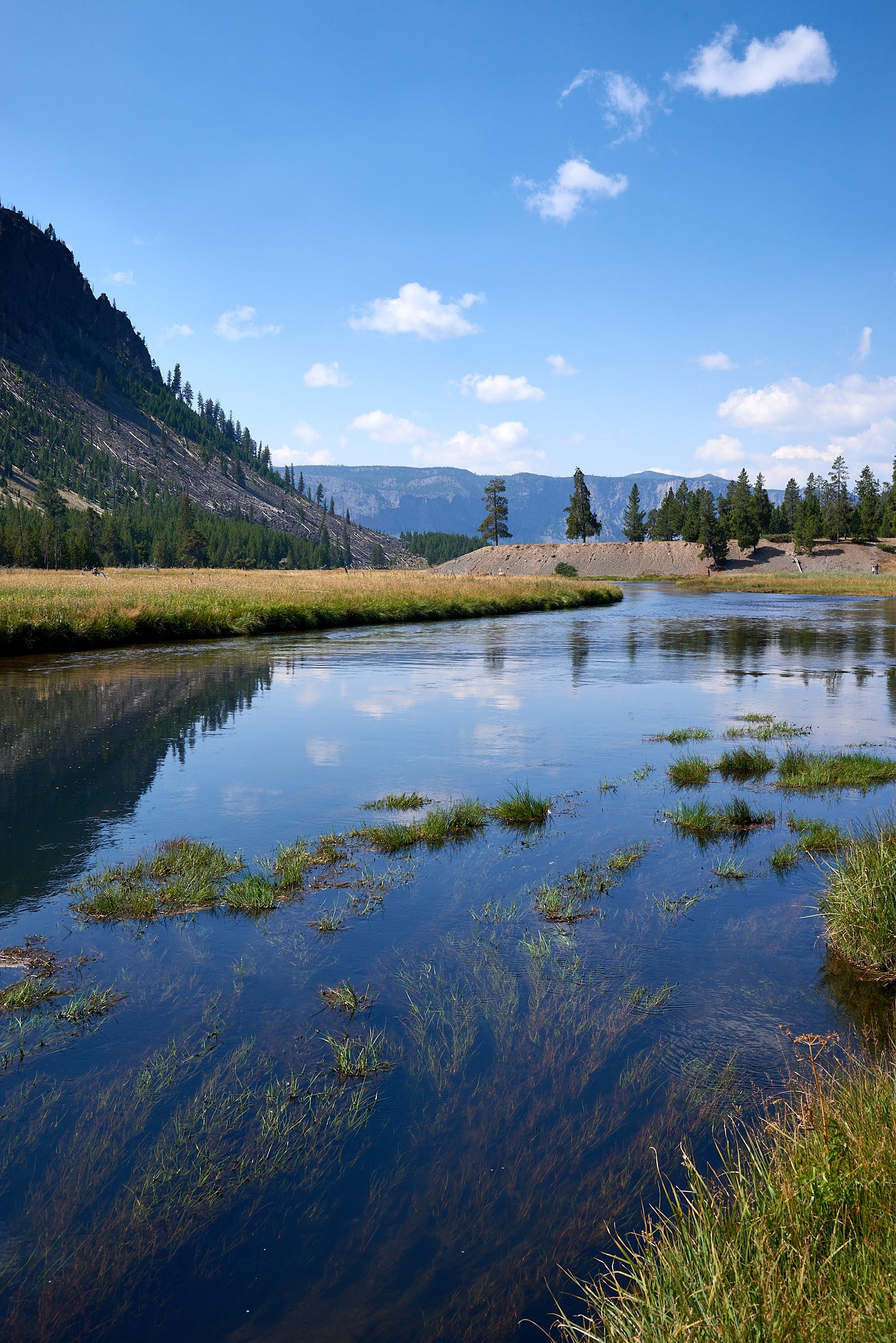
9th row: Left, Gibbon Meadow. Right, Madison River.
10th row: Left, Riddle Lake. Right, Lower Geyser Basin.
11th row: Left, Mammoth Hot Springs. Right, Grand Canyon of the Yellowstone.
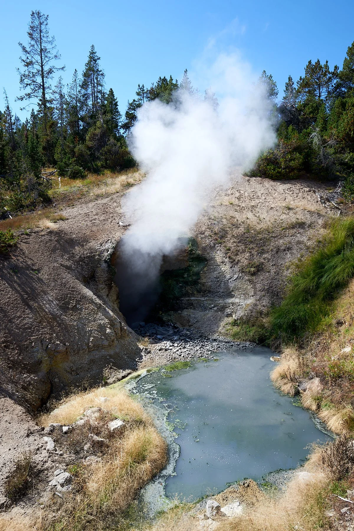
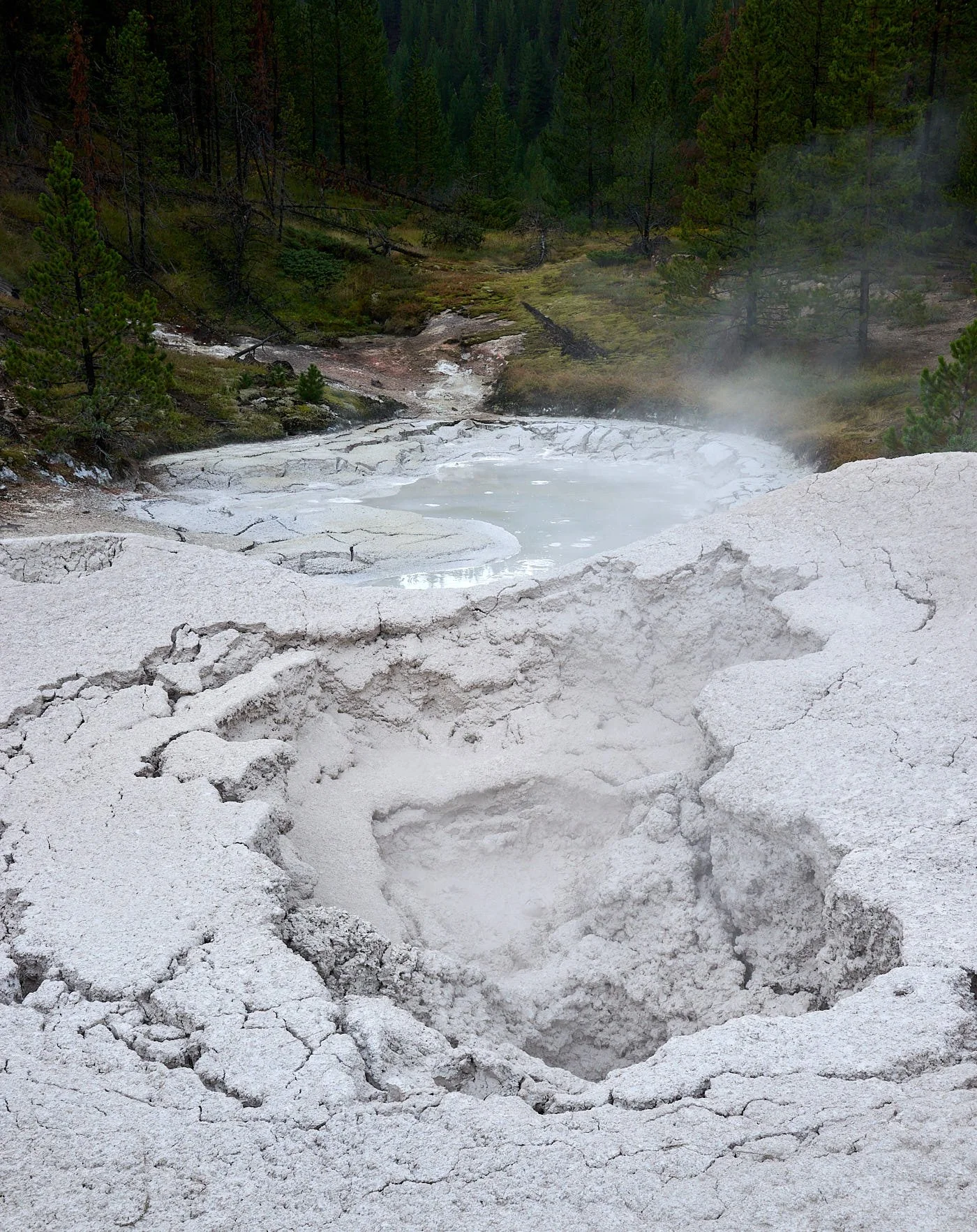
12th row: Left, Dragon’s Cauldron. Right, Artist’s Paintpots.
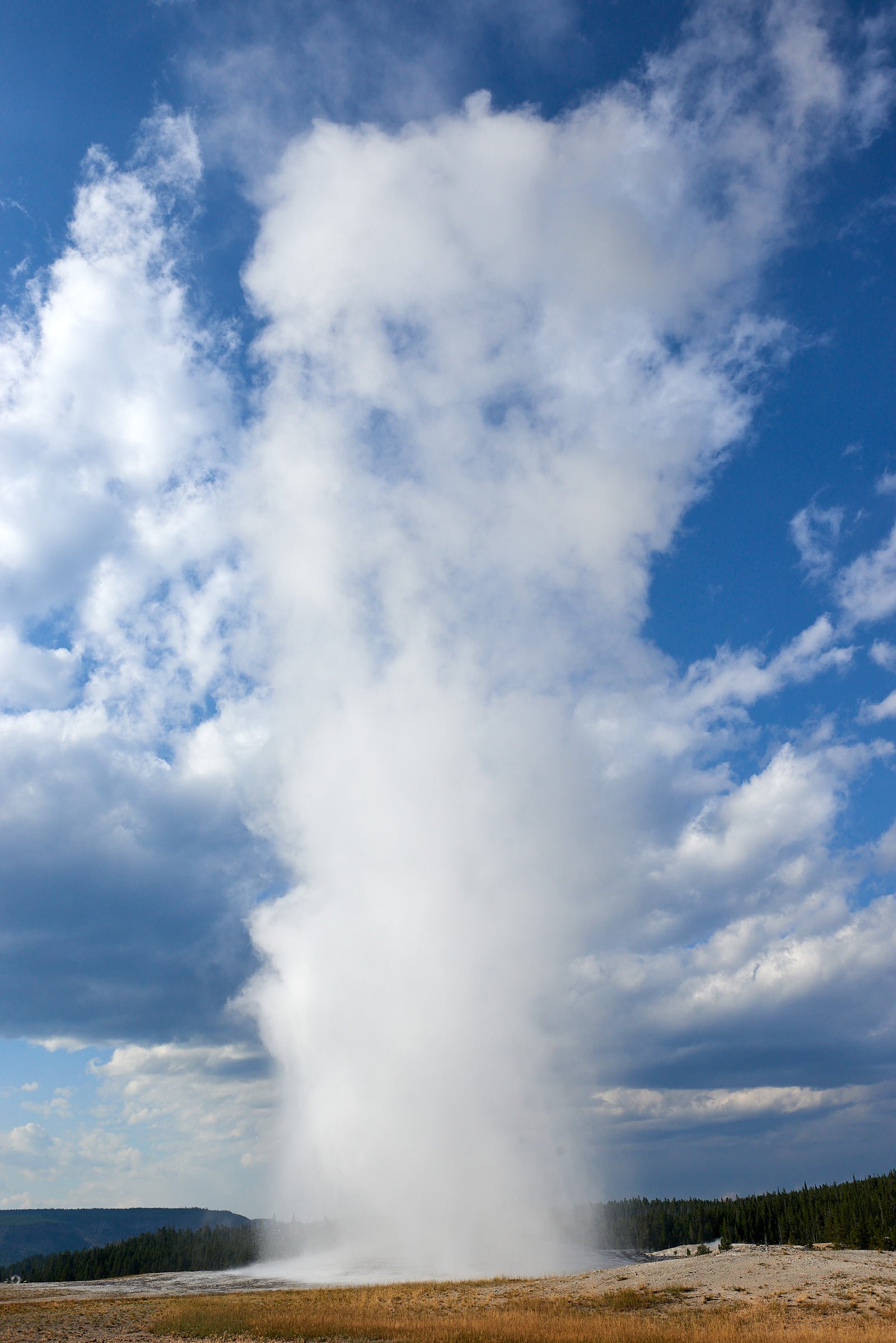
13th row: Left, Old Faithful. Right, Artist’s Paintpots.
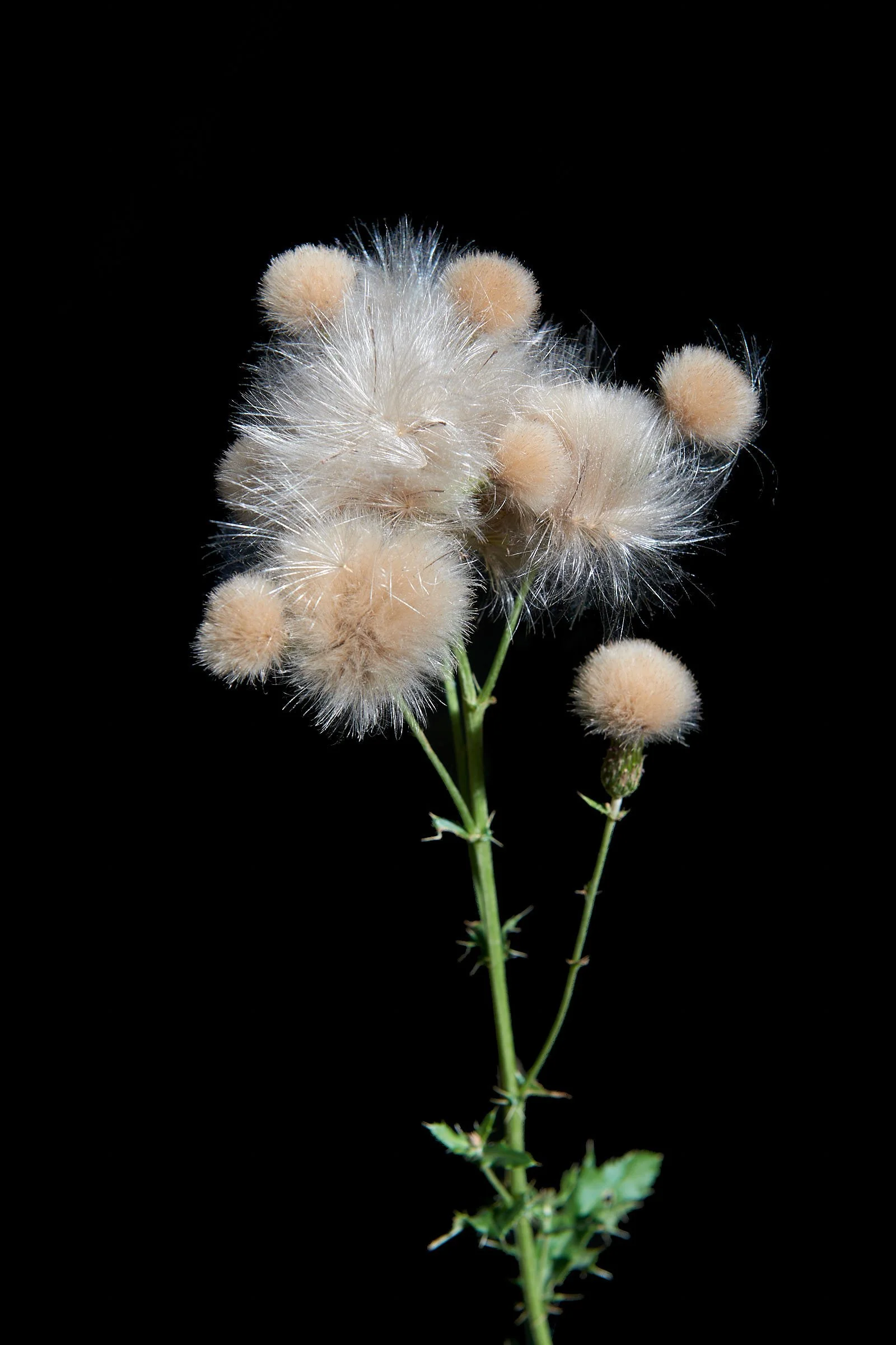
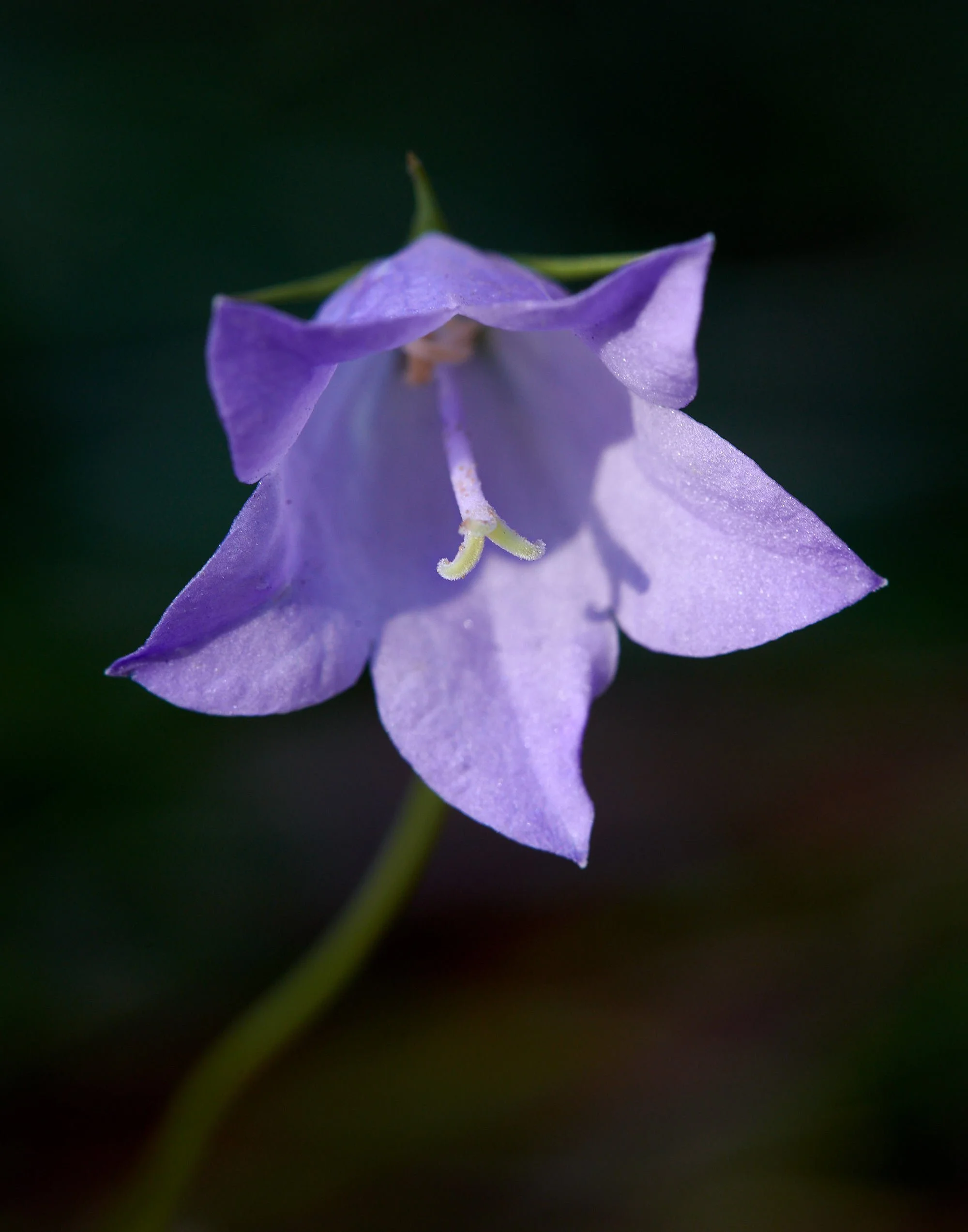
Bottom row: Left, Knapweed (invasive non-native). Right, Campanula spp.
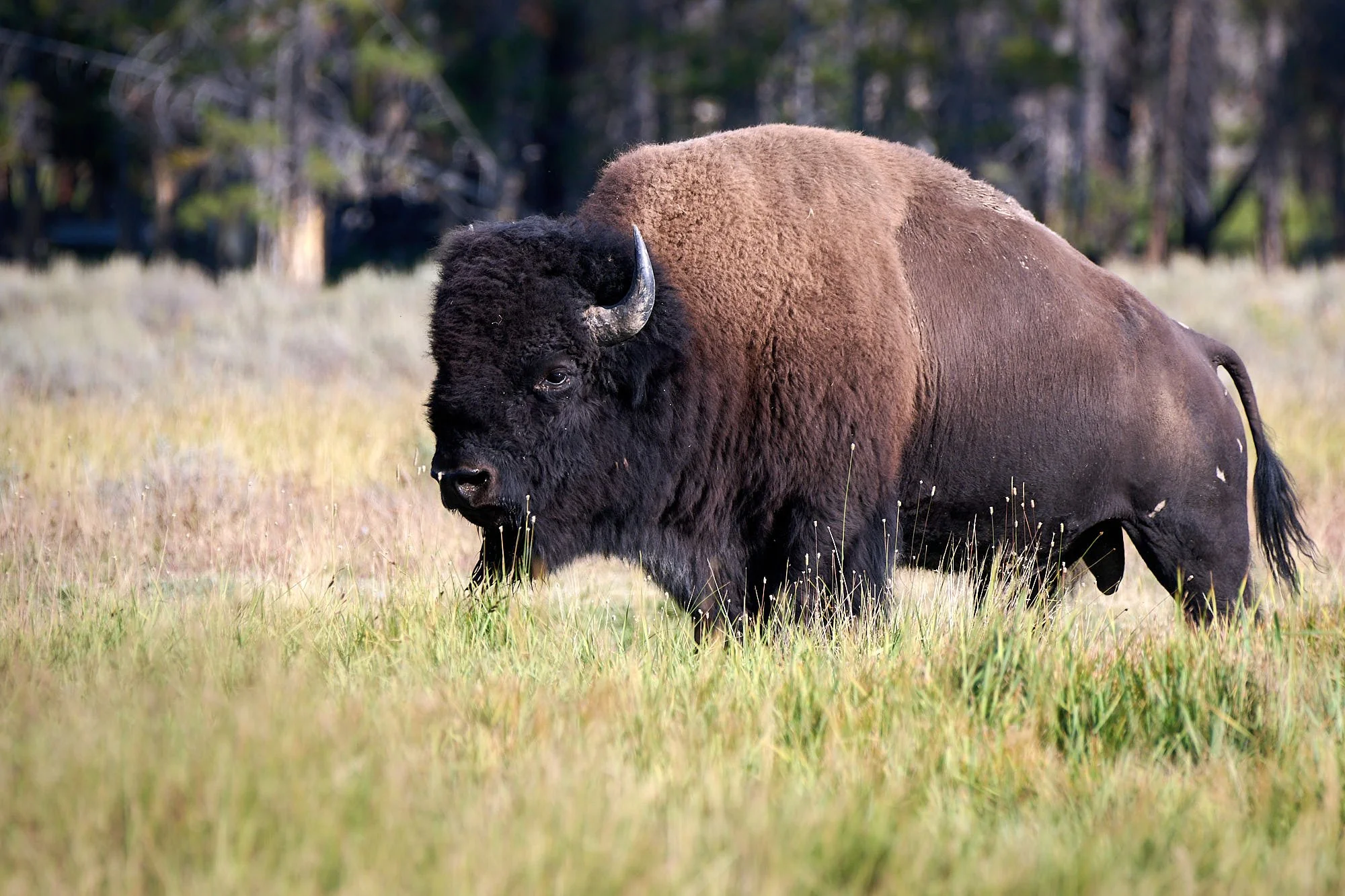
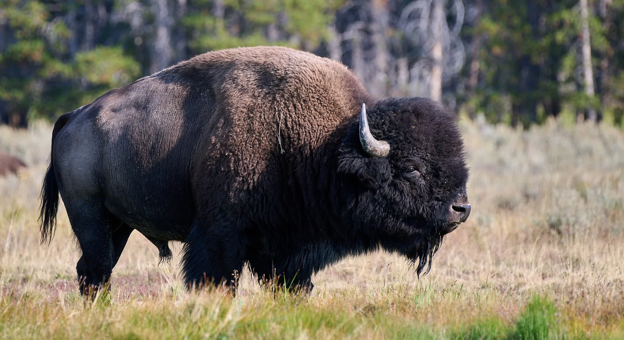
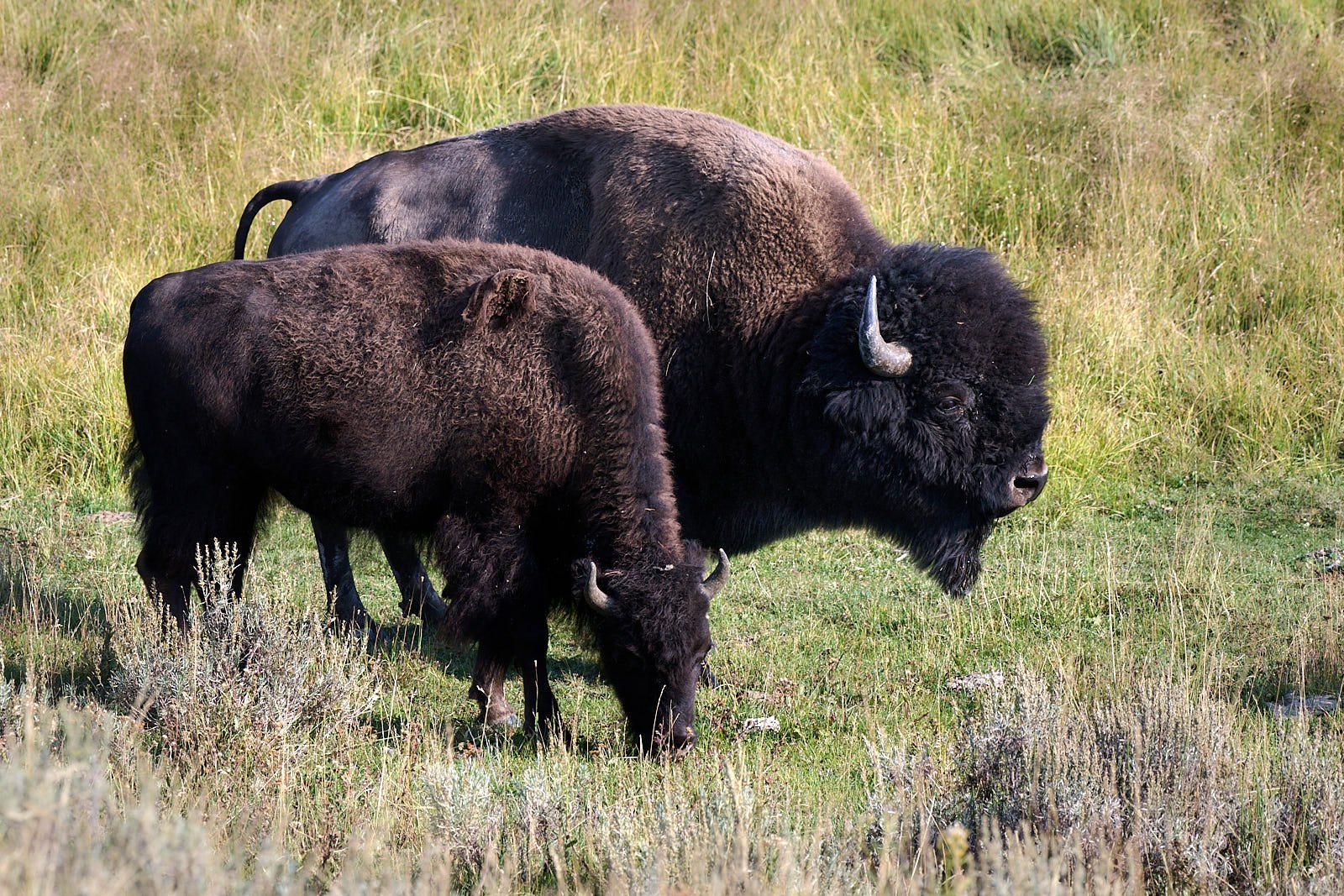
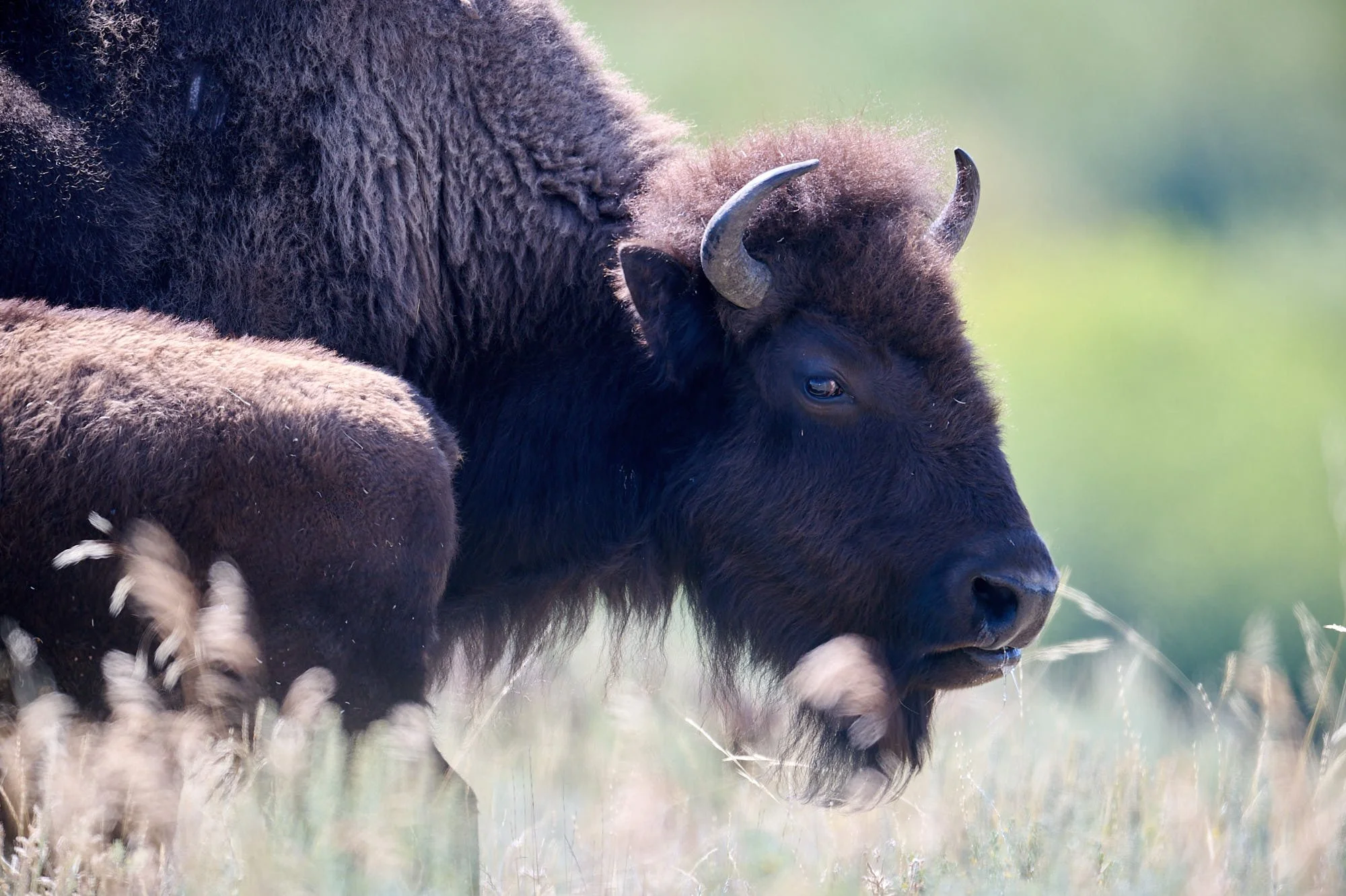
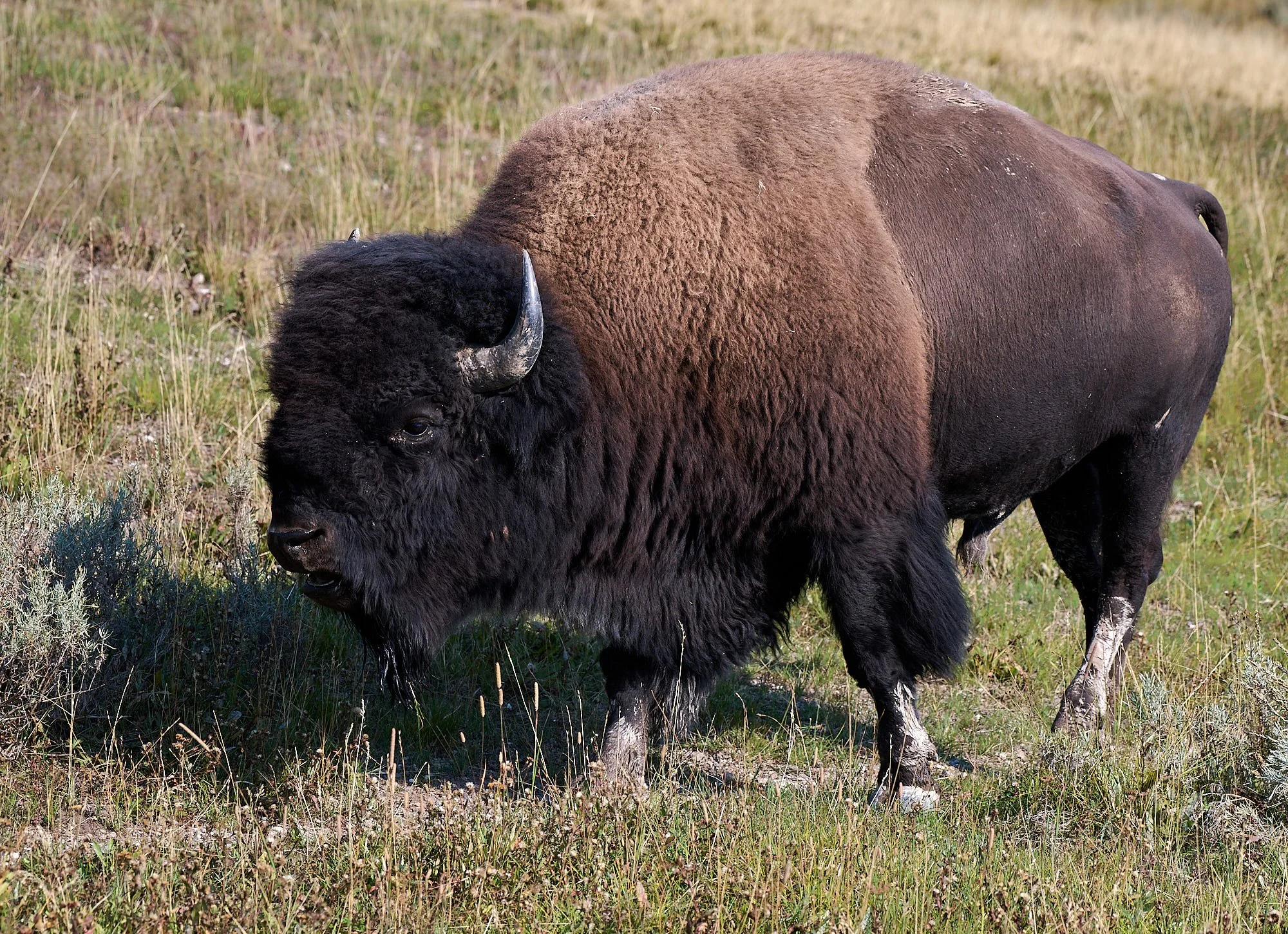
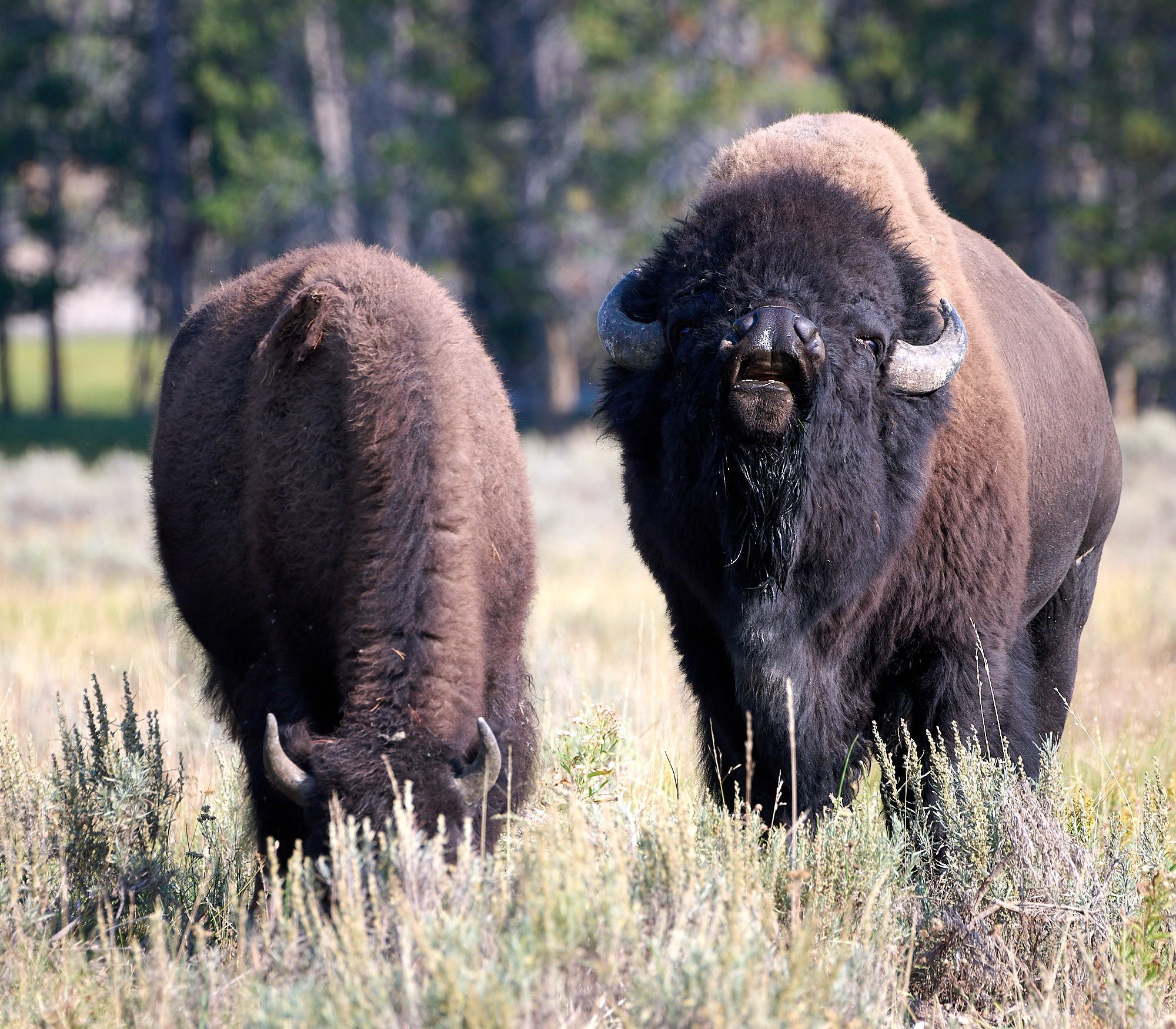
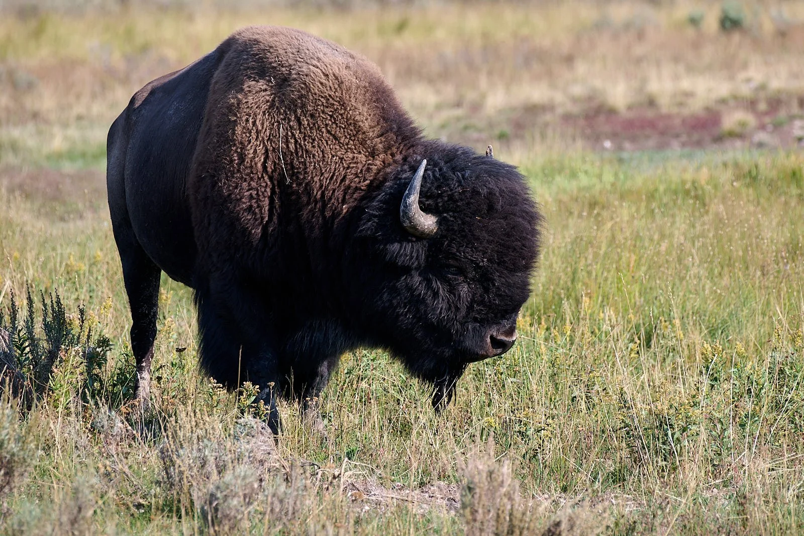
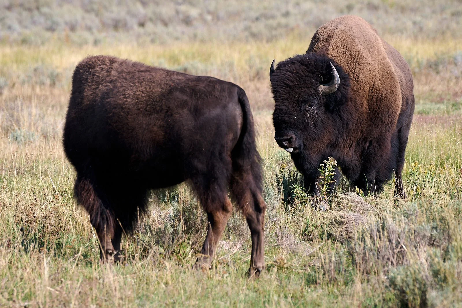
Bison (Bison bison)
Bison Bottleneck
In the late 1800s, bison experienced a devastating population bottleneck due to indiscriminate killing, loss of access to suitable habitat, and imported infectious diseases. By 1900, estimated bison numbers had dwindled to 1,000 from 40 million, with 24 individuals remaining in Yellowstone. The salvation of the species is owed to a few ranchers who established bison herds with captured wild calves. However, these cattlemen attempted to hybridize bison with domestic cattle. A recent genetic study found that every bison herd examined, including Yellowstone, Wind Cave, and Elk Island National Parks that have been previously believed to be free from cattle introgression, all have detectable levels of hybrid ancestry with cattle. This has implications for management efforts to enhance bison genetic diversity. Stroupe, S., Forgacs, D., Harris, A. et al. Genomic evaluation of hybridization in historic and modern North American Bison (Bison bison). Sci Rep 12, 6397 (2022).
Bottlenecks are detrimental to the viability of a species because of the loss of genetic diversity, the potential risk for inbreeding and the expression of recessive genetic traits. Inbreeding can ultimately reduce a population's fitness or the ability to survive, find mates, and reproduce. The more genetically diverse a population is, the better equipped it is to tackle variation in survival and mortality (for example, the effects of climate change). https://www.nps.gov/articles/bison-bellows-3-17-16.htm
But somehow, even with the greatly reduced genetic odds, bison have survived and continue to thrive both in wild herds and in domestic production herds. Cheetah and Northern Elephant Seals have also endured bottlenecks.
Bison: current status
Today, there are about 30,000 wild bison living in conservation herds where managers strive to restore the ecological role of bison as a keystone herbivore in grassland ecosystems. At the same time, there are also roughly 500,000 bison living in private and commercial herds that are managed for meat production and other purposes.
It is important to realize that human intervention and the domestication of animals can have consequences. Natural selection factors influence the genetics that are passed on from generation to generation, and consequently, wild bison experiencing natural selection most likely have retained important adaptive capabilities to combat these selective factors---something that domesticated bison may be slowly losing due to artificial selection. For example, bison possess physiological adaptations that allow them to survive minus 40 degree F temperatures without increasing their metabolism. Domestication can affect genetic diversity, physiological processes, and loss of natural behaviors, significantly altering the evolutionary path of bison.
Yellowstone’s bison population is currently managed to keep it below 5,000 individuals, partly to ameliorate community issues that arise when bison migrate outside the Park. It is estimated that the Park’s carrying capacity is 8,000-10,000 bison.
For the future, continued conservation of the bison genetics that survived the 19th century as well as protecting the opportunities for continuing wild bison evolution, remains a high priority for the ultimate recovery of the wild bison.
From: Yellowstone National Park website: https://www.nps.gov/articles/bison-bellows-3-17-16.htm
Wild bison
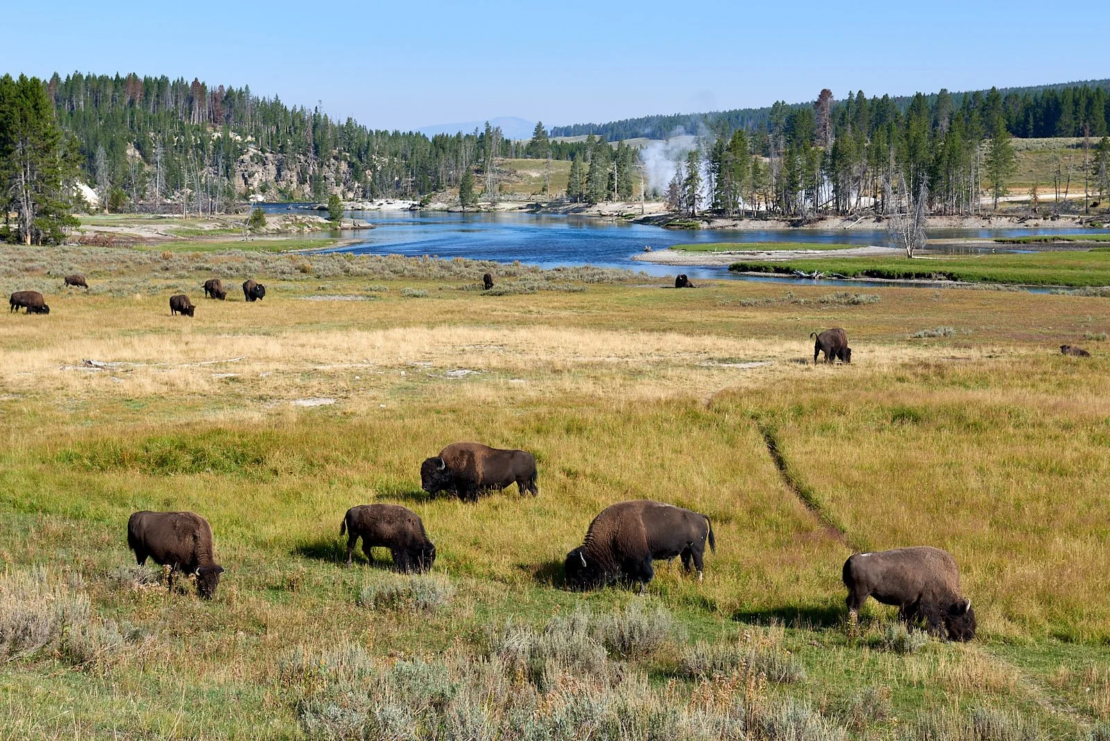
Yellowstone is the only place in the United States where bison have lived continuously since prehistoric times. The Park harbors the nation’s largest bison population on public land and, unlike most other herds, the animals are allowed to roam freely over a large area. They exhibit wild behavior like their ancient ancestors, congregating during the breeding season to compete for mates, as well as migration and exploration of new habitat areas.
Hayden Valley
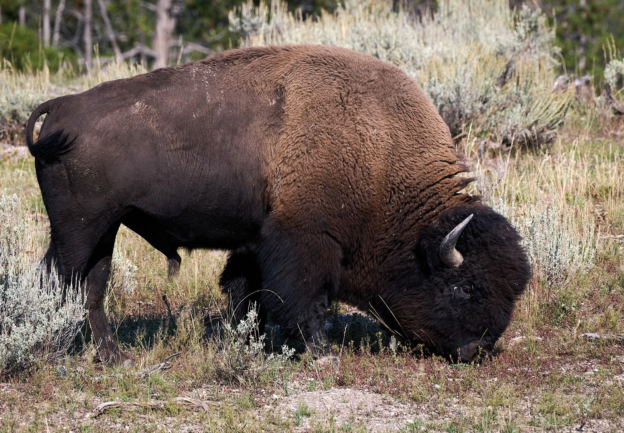
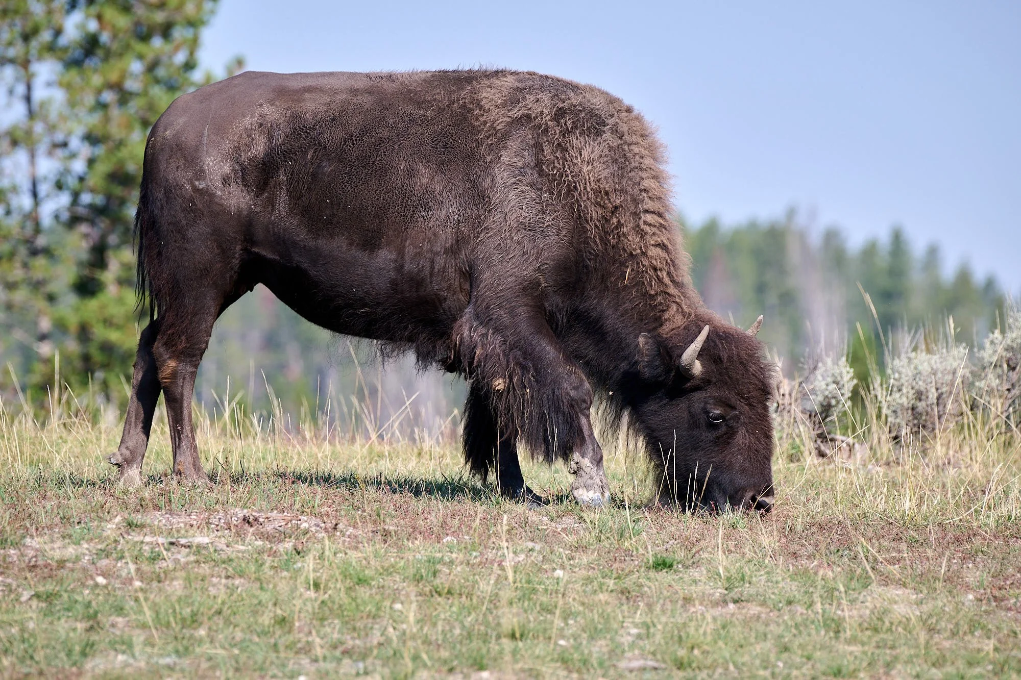
Bison grazing behavior
Newly emerging plants provide the best forage for herbivores. To exploit this fleeting resource, migrating herbivores align their movements to surf the wave of spring green-up. The green wave is the progression of plants emerging in spring from river valleys to mountaintops. Many mule deer and elk, for example, have been shown to be in sync with spring green-up, which lets them eat high quality foods as they migrate.
Yellowstone’s bison do not choreograph their migratory movements to the wave of spring green-up. Instead, bison modify the green wave as they migrate and graze. While most bison surfed during early spring, they eventually slowed and let the green wave pass them by. Bison aggregate in large groups and intensely graze the same places, which creates grazing lawns. The behavior keeps plants growing, although the plants never appear more than a few inches tall. Short young plants provide the best foods for migrating animals. Bison are not just moving to find the best food, they are creating the best food by how they graze and move.
Bison: ecosystem engineers
Bison have changed the way spring happens across Yellowstone’s vast grasslands. When grazed more intensely by larger groups of bison, the grassland greened-up earlier, faster, more intensely, and for a longer duration. They manipulate plant productivity through increasing nutrient recycling and change the factors limiting plant growth to produce vegetation explosions during wet years. They also alter the composition of plant communities by changing the relative abundance of species with different physical traits. Soil properties remain intact.
Restoring grassland ecosystems with bison means finding a way to provide large numbers of animals room to roam. Bison replaced elk as the dominant grazer in northern Yellowstone over the last decade. Researchers are testing if other large grazers like elk, pronghorn, mule deer, and bighorn sheep benefit from the foods bison stimulate through their grazing. Diets of bison, elk, and bighorn sheep overlap, especially in winter. Park predators will profit if the habitat can support more herbivores. By creating a landscape mosaic of low to extremely high grazing, bison diversify plant habitats, which may increase the total species diversity of the Yellowstone landscape. Preliminary results suggest this is true (e.g.: plants, insects and birds).
Conservation update (2020): https://www.nps.gov/yell/learn/management/bison-conservation-update.htm
Yellowstone National Park website: https://www.nps.gov/yell/learn/nature/bison.htm
Grand Teton National Park
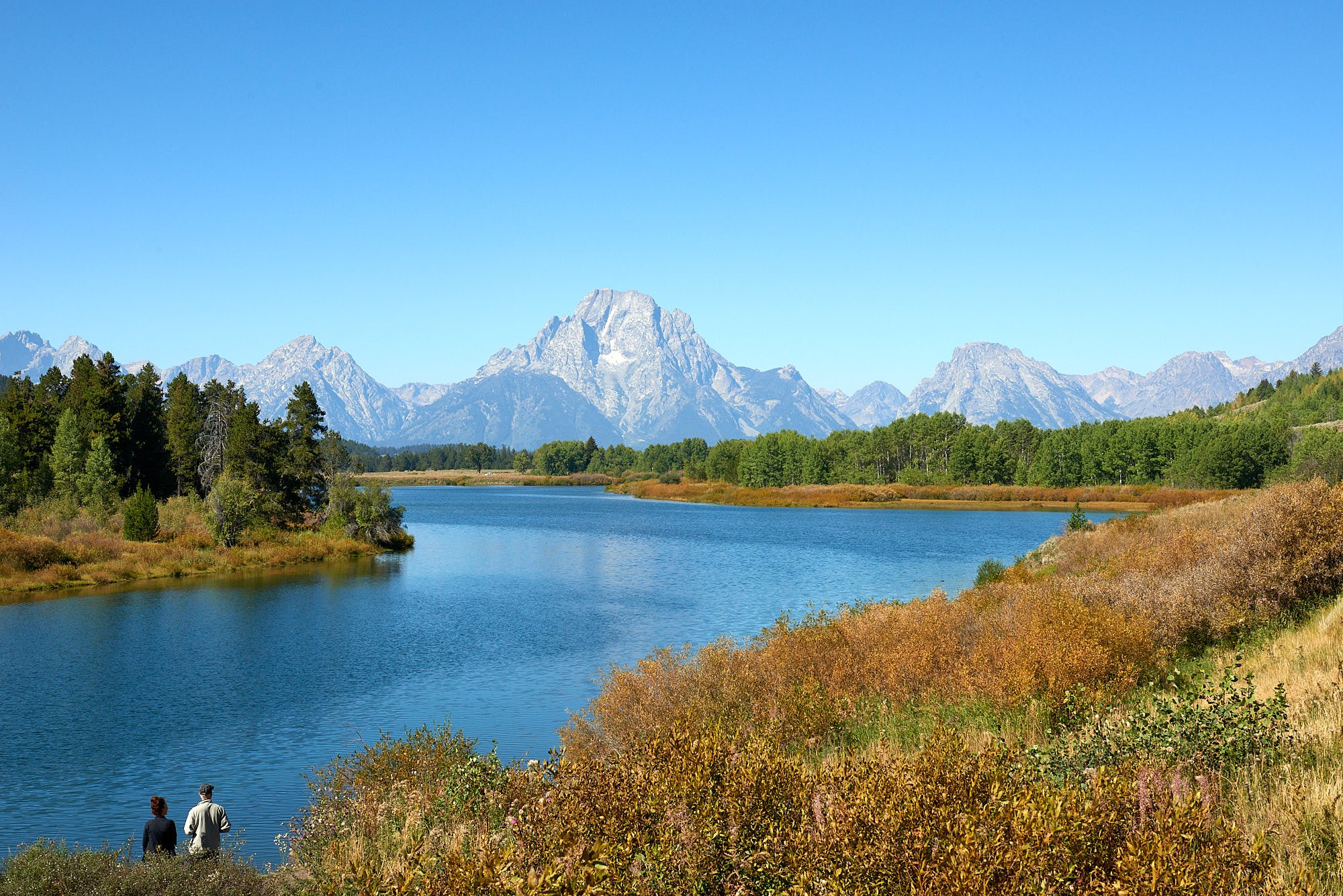
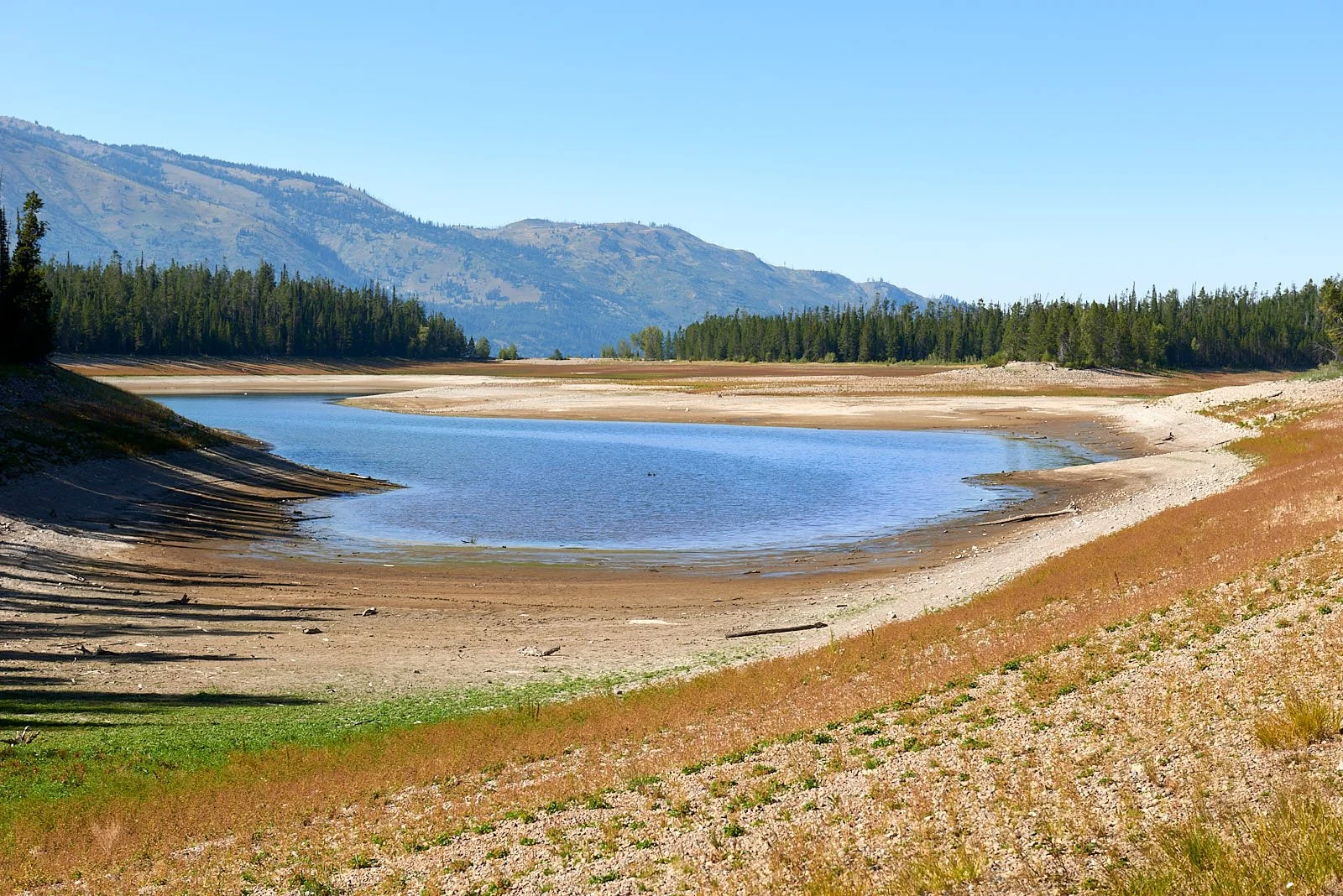
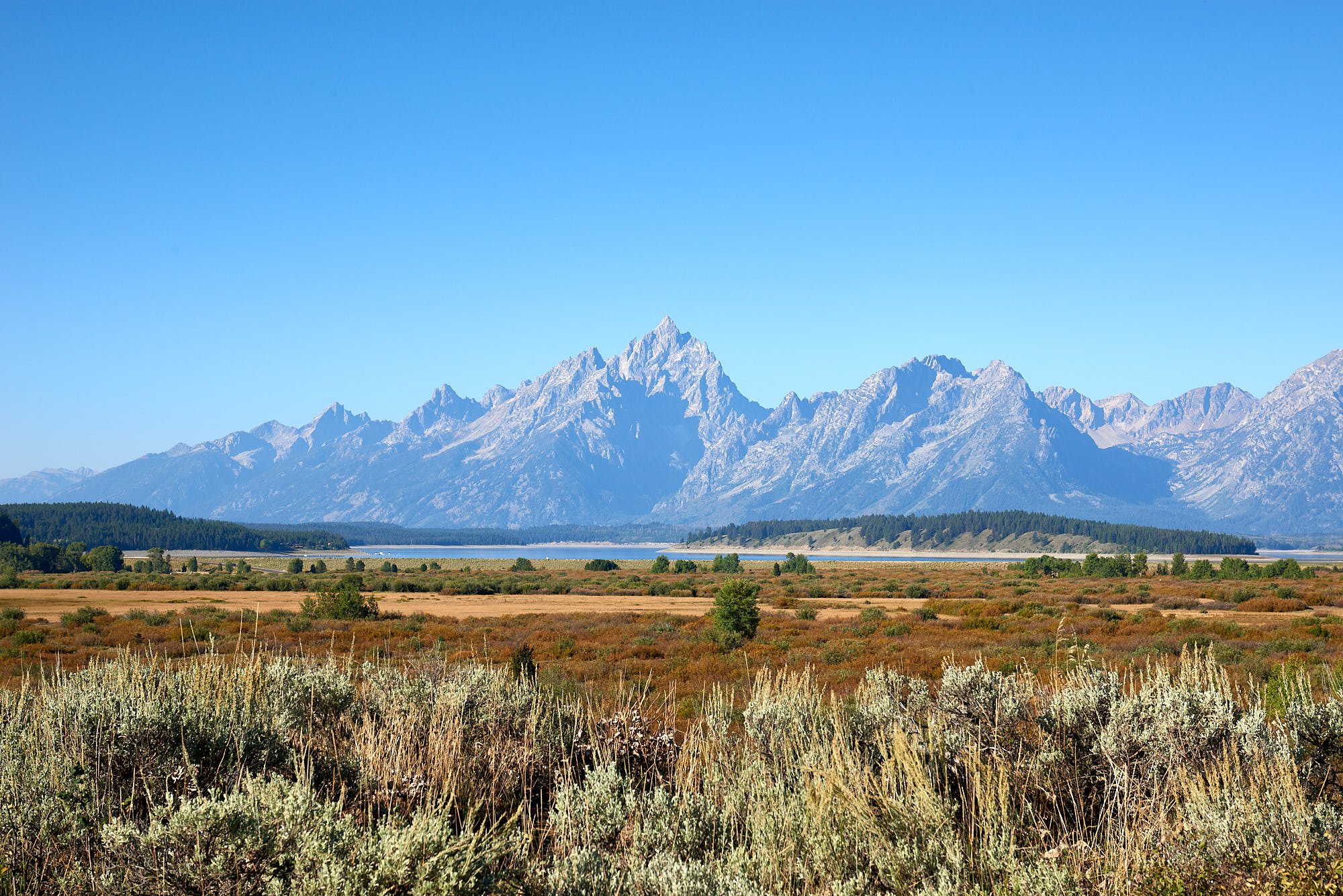
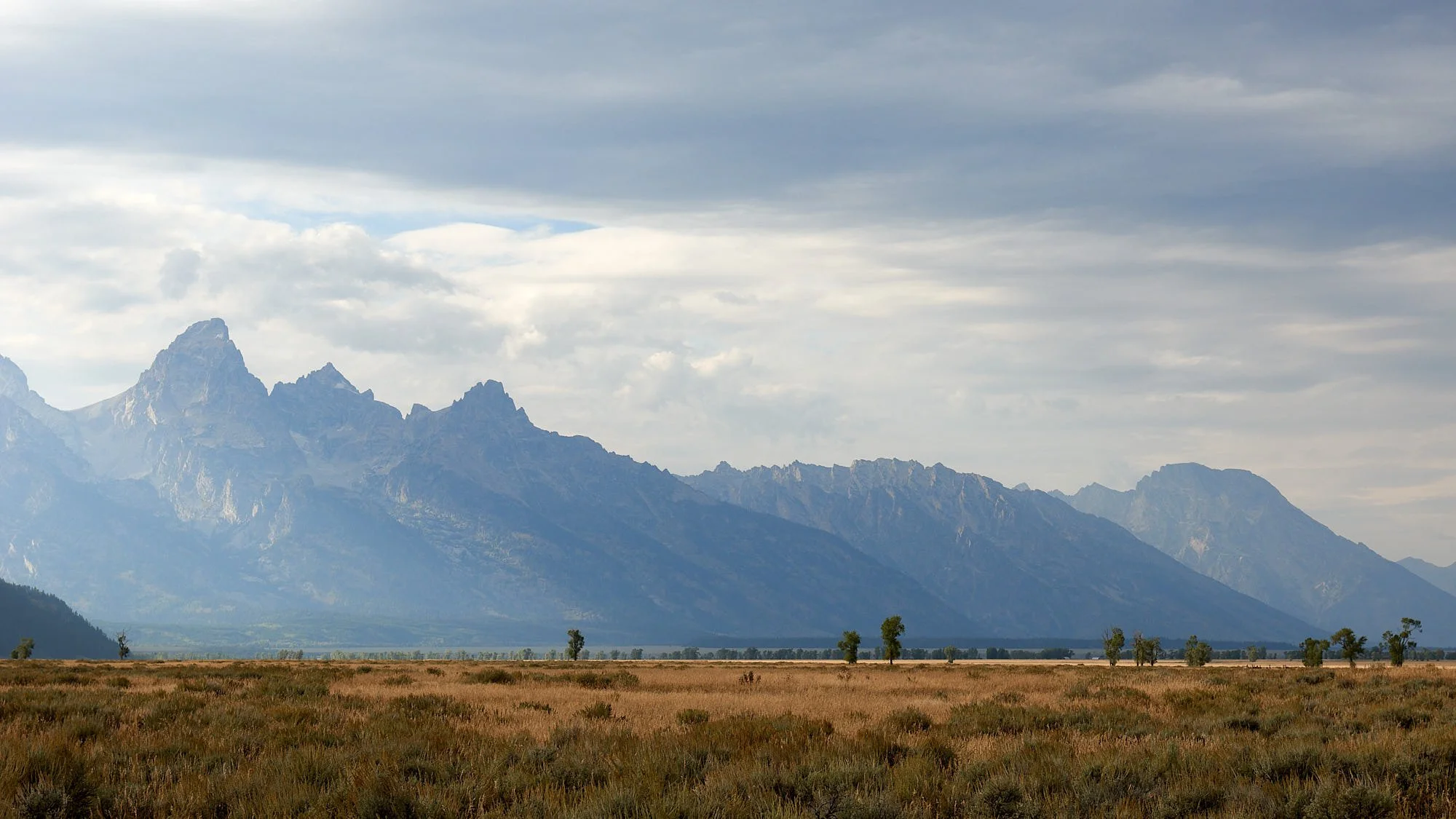
Entering the Park from the north on a rainy day, we followed the course of the Snake River until it encounters Jackson Lake. The area around our Colter Bay campsite was an attractive mix of forested hills, sagebrush on the plains, riverine woodland and glacial lakes. Every westward vista had the iconic Teton Range as a backdrop. Jackson Lake’s surface was very low because of drought conditions and water supply obligations.
Snake River and the Teton Range. We saw a grizzly swimming across this river bend. Shortly thereafter, so did the occupants of about 100 other cars!
Top row: Left, Lake Jackson’s receding water level. (It is actually a dam.) Right, Classic Teton view (Summer Idaho fires infiltrated the area in a smoky haze.)
Middle row: Left, Snake River meander. Right, Park staff initiated a restoration project to replace former non-native grass fields with native sagebrush steppe habitat.
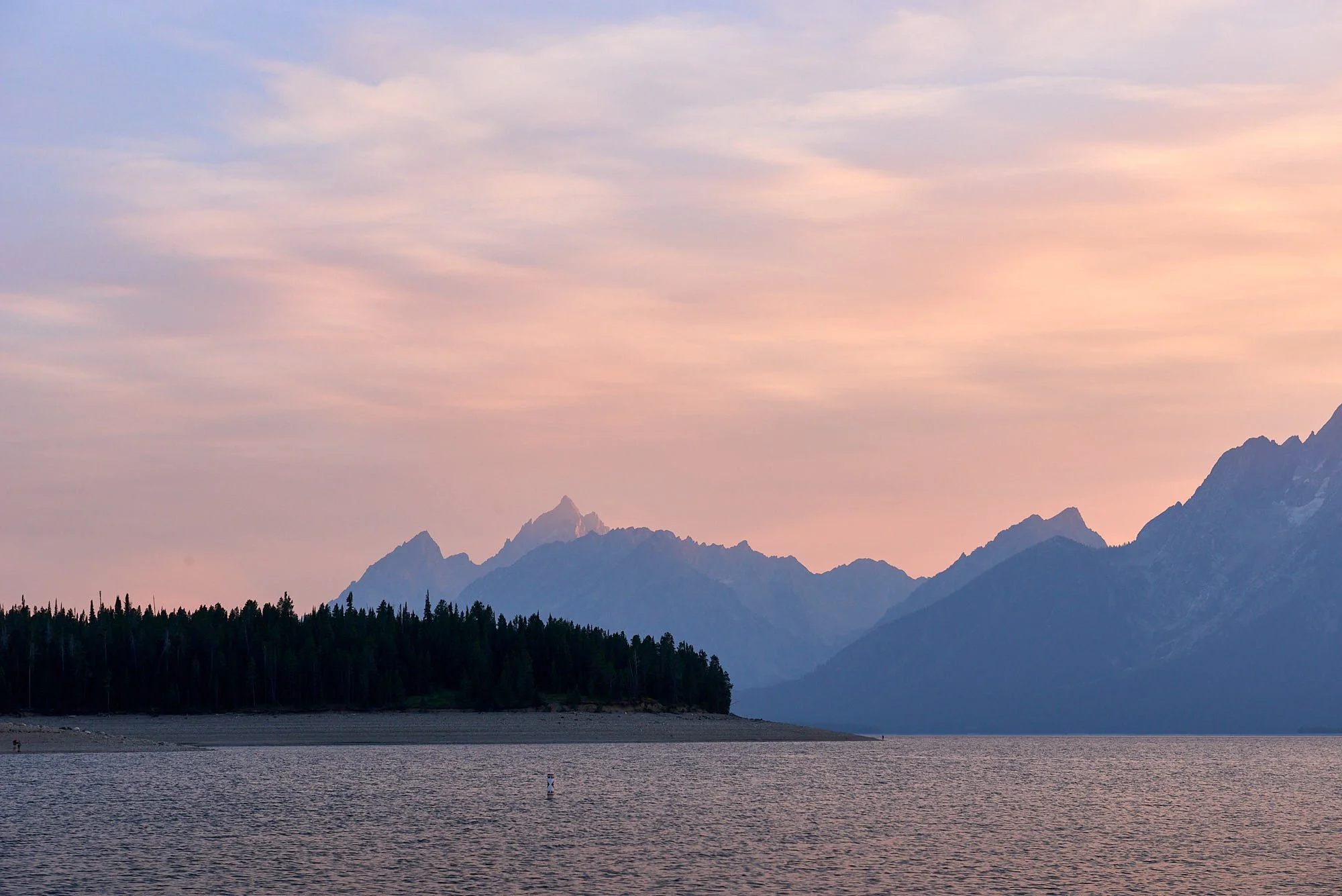
Bottom row: Left, Boating the Snake is popular. Right, Jackson Lake at sundown.
Teton geology
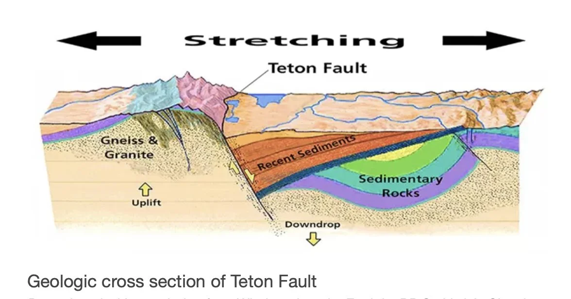
The Teton Range contains 2.7 billion-year old metamorphic rock called gneiss. Molten magma began squeezing into cracks in the gneiss 2.5 billion years ago, and it cooled to form igneous granite. The highest peaks in the central Teton Range are composed of erosion-resistant granite. Above the igneous and metamorphic mountain core are layers of sedimentary sandstones, limestones and mudstones that were laid down when global sea levels rose.
The Tetons have been uplifting for <10 million years and are one of the youngest mountain ranges in North America. The Range uplifts along the 40-mile long Teton fault which is oriented north-south. As tectonic forces stretch the region in an east-west direction, the stress generates earthquakes that lifts the mountain block skyward while dropping the valley floor. In the 10 million years since the fault began moving, the total offset is probably over 25,000 feet.
From: https://www.nps.gov/grte/learn/nature/geology.htm
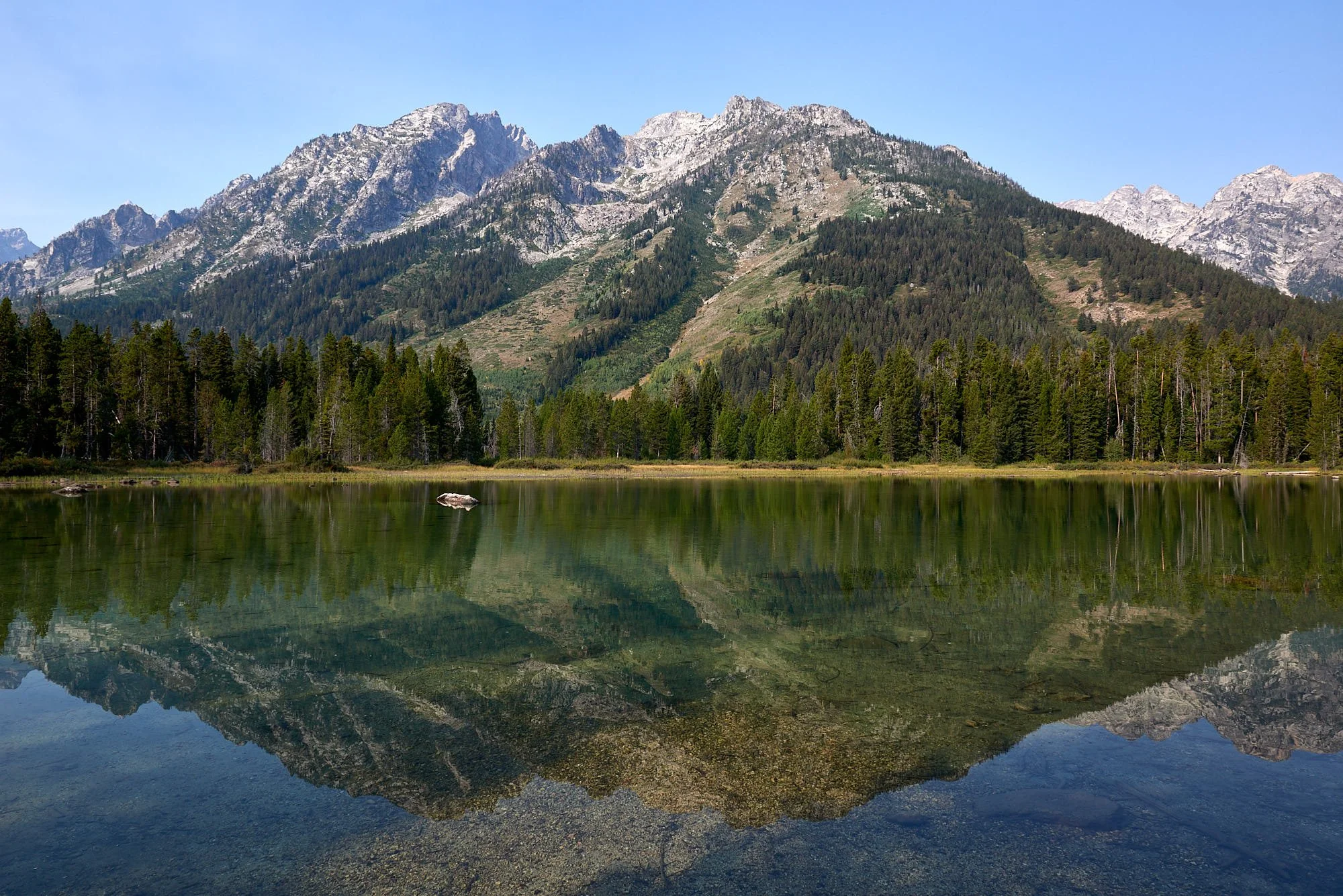
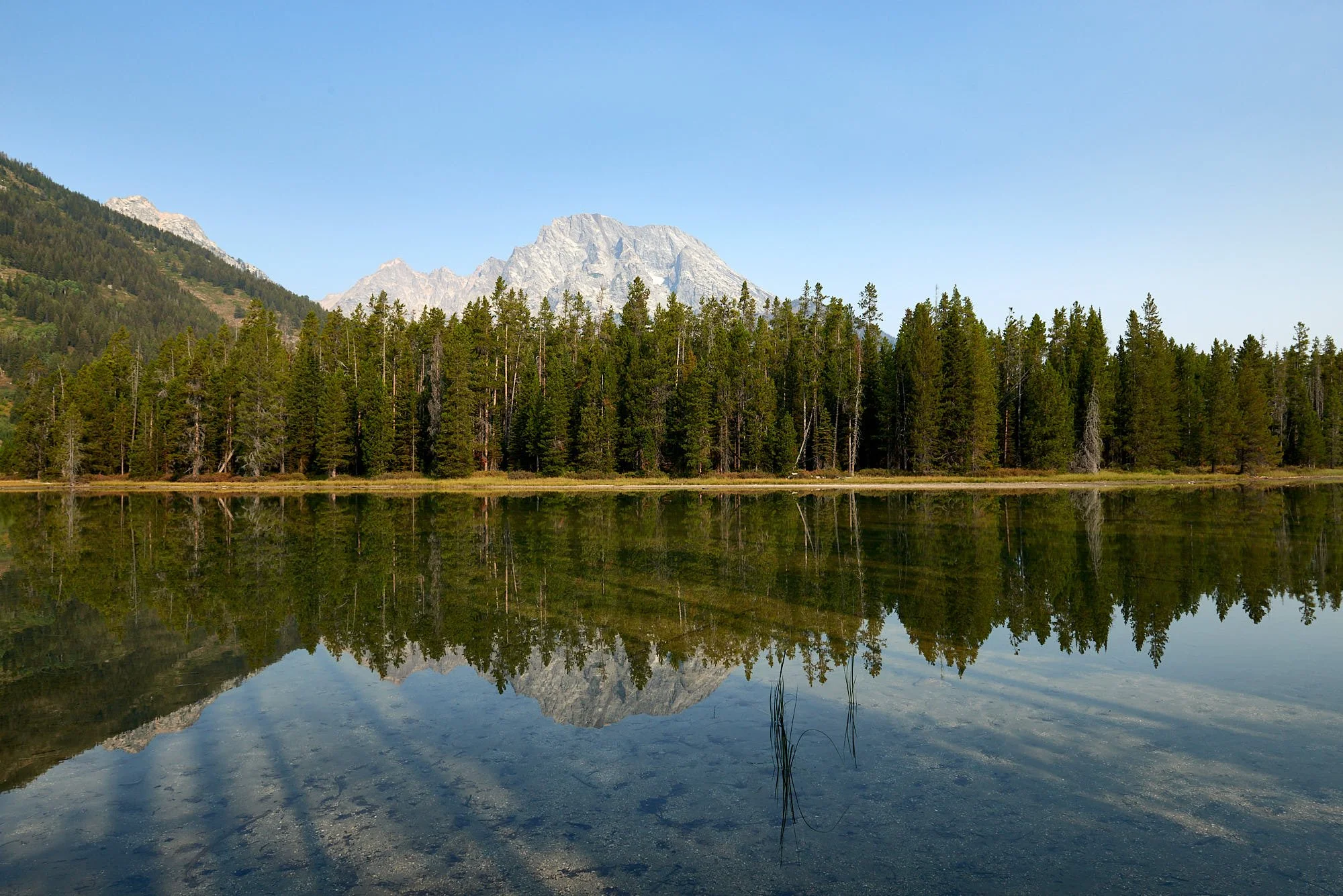
Top row: String Lake lies between Leigh and Jenny Lakes. All three are at the base of the Teton Range and are inter-connected.
Bottom row: Left, There are many good trail options from the glacial lakes. Right, One can hire paddle watercraft to explore the lakes.
In Search of Wildlife
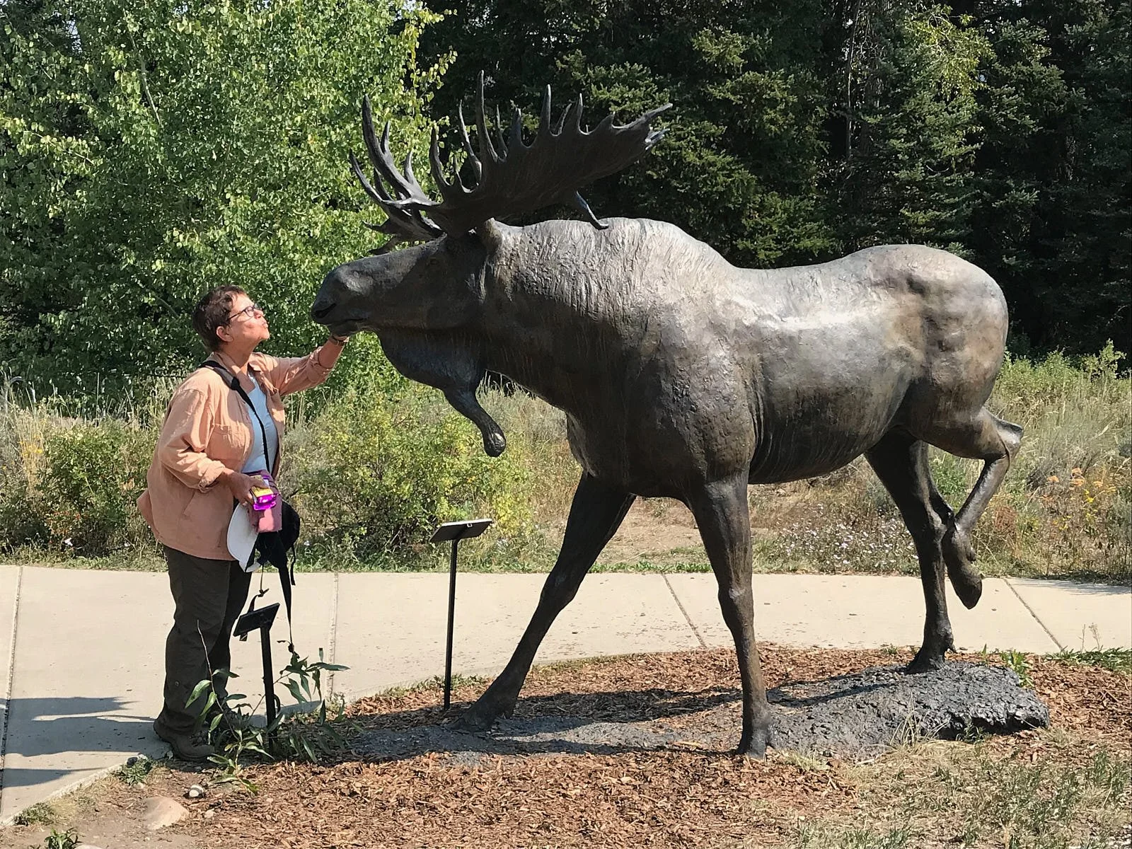
During our stay in Yellowstone, we searched in vain for pronghorn, moose and bear. Heard wolves at night but never saw them. Trevlyn cozied up to a moose at the Grand Teton Visitor Center but that encounter didn’t really count. Taking advice from a fellow tourist, we headed down the Moose-Wilson road. You think the name should have been a clue.
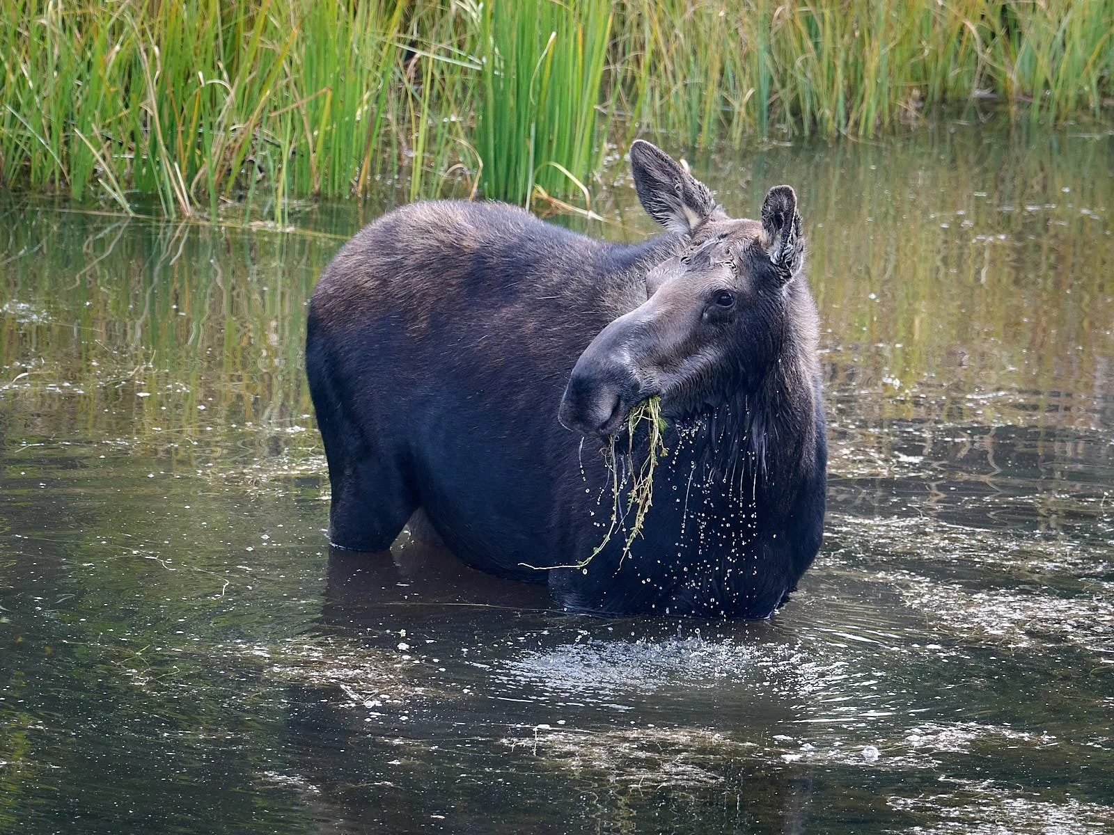
In summer, moose eat aquatic plants like water lilies, duckweed, and burweed. But the principle staples of the moose diet are the leaves and twigs of the willow, followed by other woody browse species such as gooseberry and buffaloberry. In winter when available, moose exhibit a high preference to subalpine fir.
Pronghorn antelope inhabit sagebrush (top picture). The pronghorn that summer in Grand Teton National Park conduct one of the longest terrestrial migrations in the lower 48 states. As snows begin to fall each autumn, some 300 to 500 animals depart for sagebrush in the Green River Valley, approximately 125 miles southwest. Pronghorn crawl under fences rather than leap over them. The Path of the Pronghorn Conservation Program helps pronghorn and other animals migrate more easily by improving fencing and removing other impediments to their passage. Highway overpasses and underpasses were constructed to facilitate safe crossings.
Western Culture
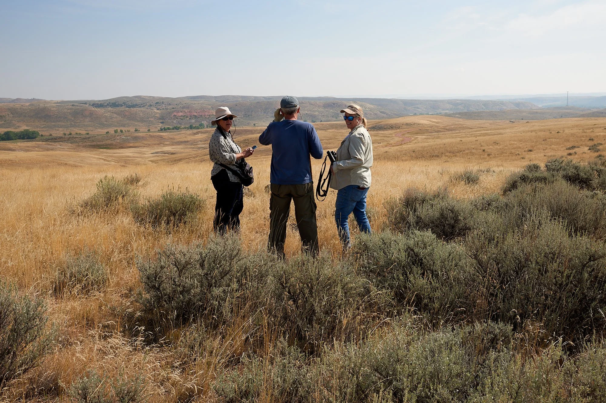
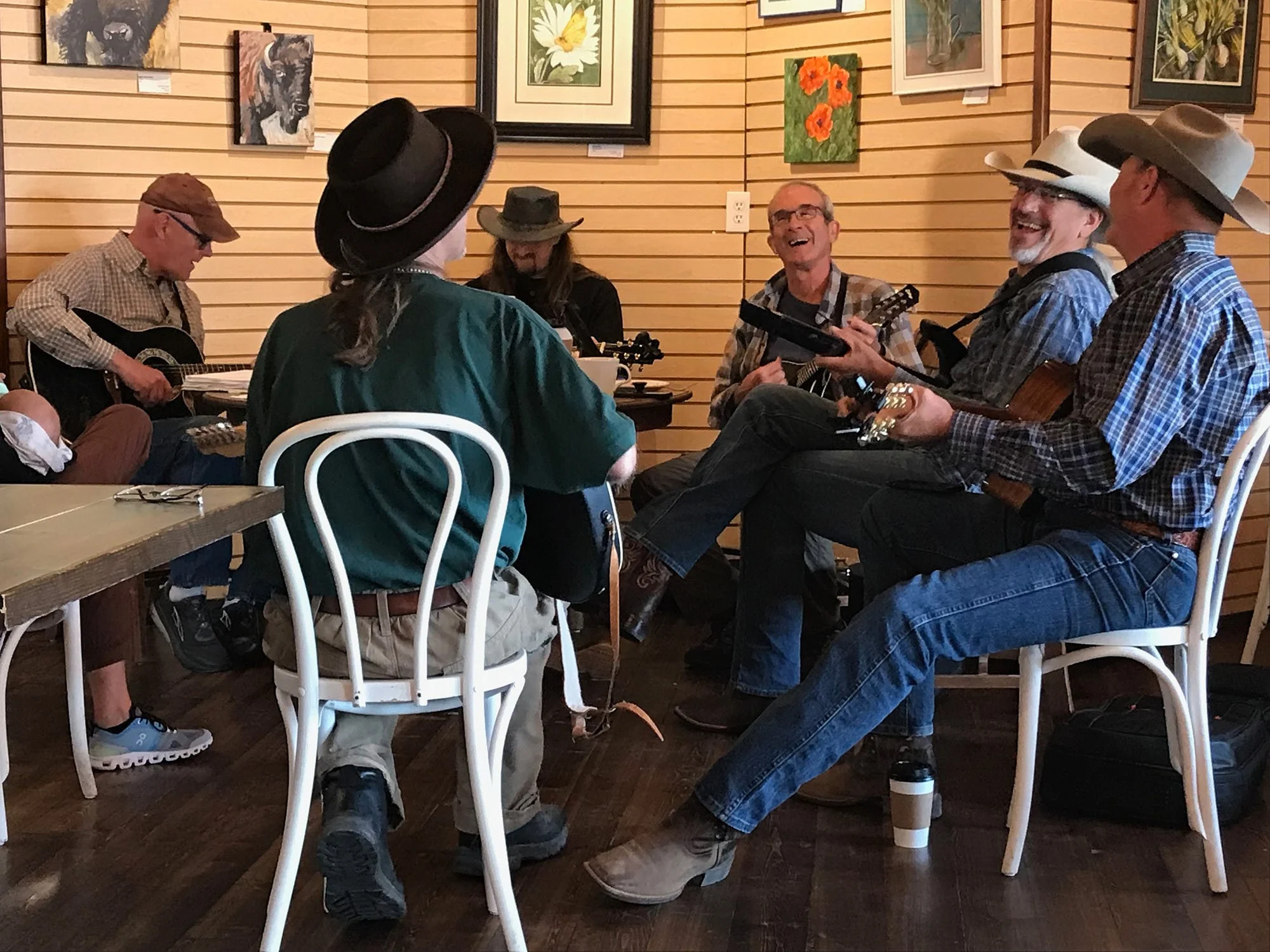
After Grand Teton we travelled east to meet Mary and John on their family farm in northern central Wyoming. Trevlyn and I have both spent a fair bit of our formative years in rural Africa. However, during our time in America, we’ve only resided in large West Coast cities. Although we sampled less than a week in rural Wyoming, the experience was refreshingly different and new. In our limited understanding of this Western culture, the cowboy ethos is elevated to high status and horses reign supreme. There is a strong connection to the land and local history; many folk living in the area were born there. We explored the family farm, enjoyed music at the local coffee shop, visited the excellent Brinton Museum, hiked the Tongue River trail and dined in downtown Sheridan.
Brinton Museum
The Brinton Museum is located on the 620-acre historic Quarter Circle A Ranch in Big Horn, a short drive from Sheridan. It’s vision is to enrich connections to the land, people and cultures of the West. Collecting emphasis is placed on Native American arts and crafts as well as fine and decorative art relating to the late 19th, 20th and 21st centuries that depict the West. We thoroughly enjoyed the Native American historic section and the modern glass mosaic art by Angela Babby who is of Lakota ancestry.
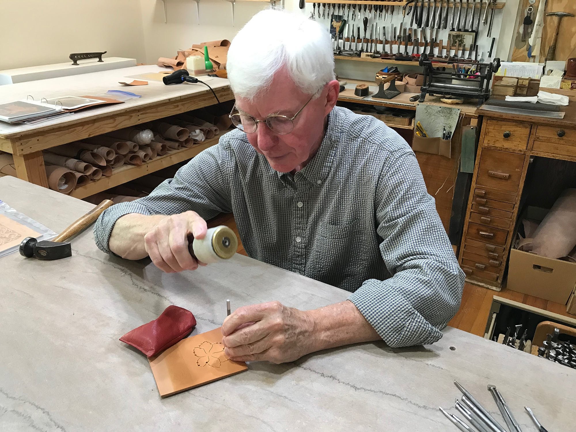
Mary owns a saddle that has ornately decorated leather. She booked us to meet Jim Jackson, a leather tooler in the Sheridan style, who is an internationally recognized artist and 2019 National Heritage Fellow (National Endowment of the Arts). It was a privilege to watch him demonstrate some leather art techniques at the museum.
James Jackson demonstrating leatherwork techniques at the Brinton Museum’s leather shop.
The Rocky Mountains
The Rockies are 70 to 300 miles wide and stretch 3,000 miles from the northernmost part of western Canada to the Albuquerque area of New Mexico. The highest peak is Colorado’s Mount Elbert (14,440 ft above sea level). The range includes the Continental Divide – a line separating the Atlantic and Pacific Ocean drainage basins. The Rocky Mountains are part of the North American Cordillera and are distinct from the tectonically younger Cascade and Sierra Nevada Ranges that lie further west.
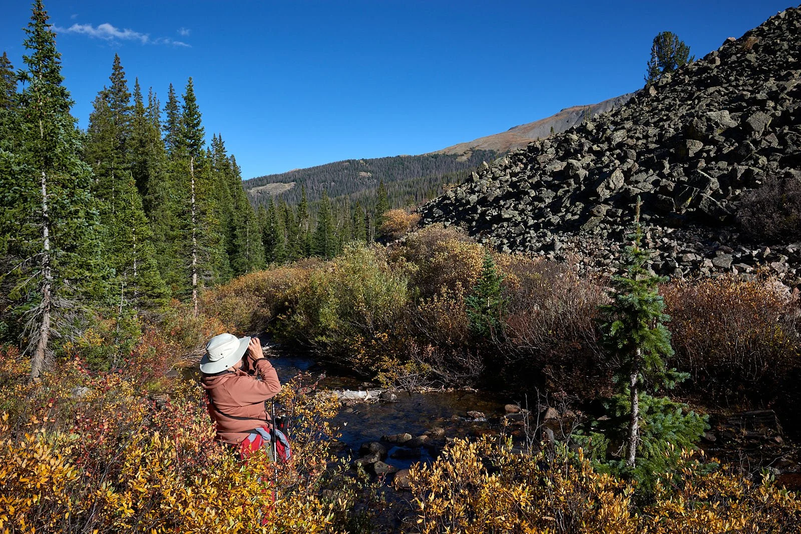
We first encountered the Rockies at the Tetons and Yellowstone’s Absaroka Range. After journeying east into Wyoming, we followed the Range south from the Big Horn Mountains to Rocky Mountain National Park, Colorado’s Front Range and the Sangre de Cristo Mountains near Great Sand Dunes National Park. We then headed south-west, and passed by central portions of the Rockies (La Sal and Abajo, Utah) and a section of the Rockies’ western edge (San Juan Mountains, Colorado). (Sites indicated with red stars.)
Monarch Lake, Arapaho National Forest. The Continental Divide National Scenic Trail passes by the lake.
Three images of the western edge of the Big Horn Mountains, Wyoming. Bottom right: Dowdy Lake in the Red Feather Lakes district of Colorado.
Formation of the Rocky Mountains
The rocks in the Rocky Mountains were formed before the mountains were raised by tectonic forces. The oldest rock is Precambrian metamorphic rock that forms the core of the North American continent. There is also Precambrian sedimentary argillite, dating back to 1.7 billion years ago. During the Paleozoic era (541-252 million years ago), western North America lay underneath a shallow sea, which deposited many kilometers of limestone and dolomite.
Near present-day Colorado, these ancestral rocks were disturbed by mountain building approximately 300 million years ago (Ma), during the Pennsylvanian Period, forming the Ancestral Rocky Mountains. They consisted largely of Precambrian metamorphic rock forced upward through layers of the limestone laid down in the shallow sea. The mountains eroded over the next 100 Ma, leaving extensive deposits of sedimentary rock.
Terranes (fragments of the earth’s crust) began colliding with the western edge of North America about 350 Ma but these tectonic effects did not reach the Rockies. The current Rocky Mountains arose in the Laramide orogeny (mountain building during 80-55 Ma) when the Farallon plate dove at a shallow angle below the North American plate. This low angle moved the focus of melting and mountain building much farther inland than the usual 200-300 miles. Scientists hypothesize that the shallow angle of the subducting plate increased the friction and other interactions with the thick continental mass above it. Tremendous thrusts piled sheets of crust on top of each other, building the broad, high Rocky Mountain range.
The southern Rockies were forced upwards through the layers of sedimentary remnants of the Ancestral Rocky Mountains. Such sedimentary remnants were often tilted at steep angles along the flanks of the modern range; they are now visible in many places throughout the Rockies (e.g.: the Flatirons at Boulder, CO).
Just after the Laramide orogeny, the Rockies were a high plateau, probably 20,000 ft above sea level. In the last sixty million years, erosion by glaciers, water and wind stripped away the high rocks, revealing the ancestral rocks beneath, and forming the current sculptured landscape.
Faulting, folding, seismic zones and volcanism are all associated with plate tectonics. Uplifting, erosion and sedimentary deposition go hand in hand. The real story is complex and completely beyond this writer’s expertise. Suffice to say, you will find volcanic rocks (e.g.: San Juan & Absaroka Mountains) and geothermal features (e.g.: Yellowstone). Millennia of severe erosion in the Wyoming Basin transformed intermountain basins into level sedimentary terrain with substantial fossil fuel deposits. The Tetons are the youngest range and the least weathered.
From: Wikipedia (https://en.wikipedia.org/wiki/Rocky_Mountains)
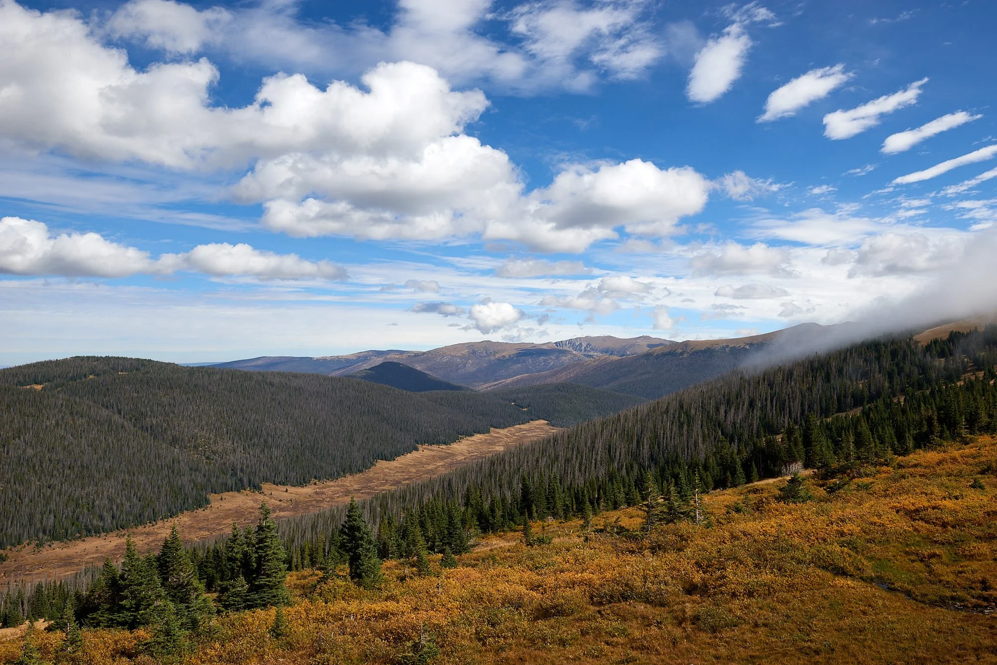
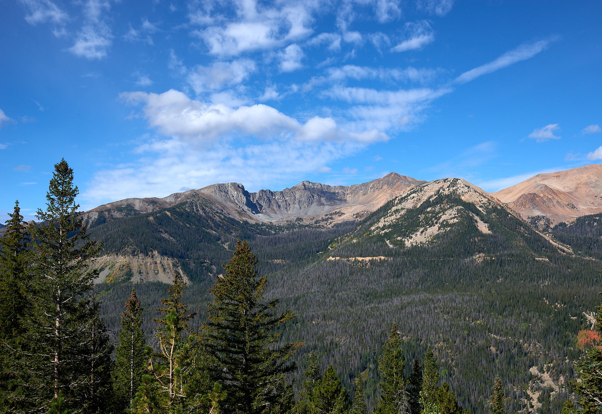
Rocky Mountain National Park, near Fairview curve on highway 34.
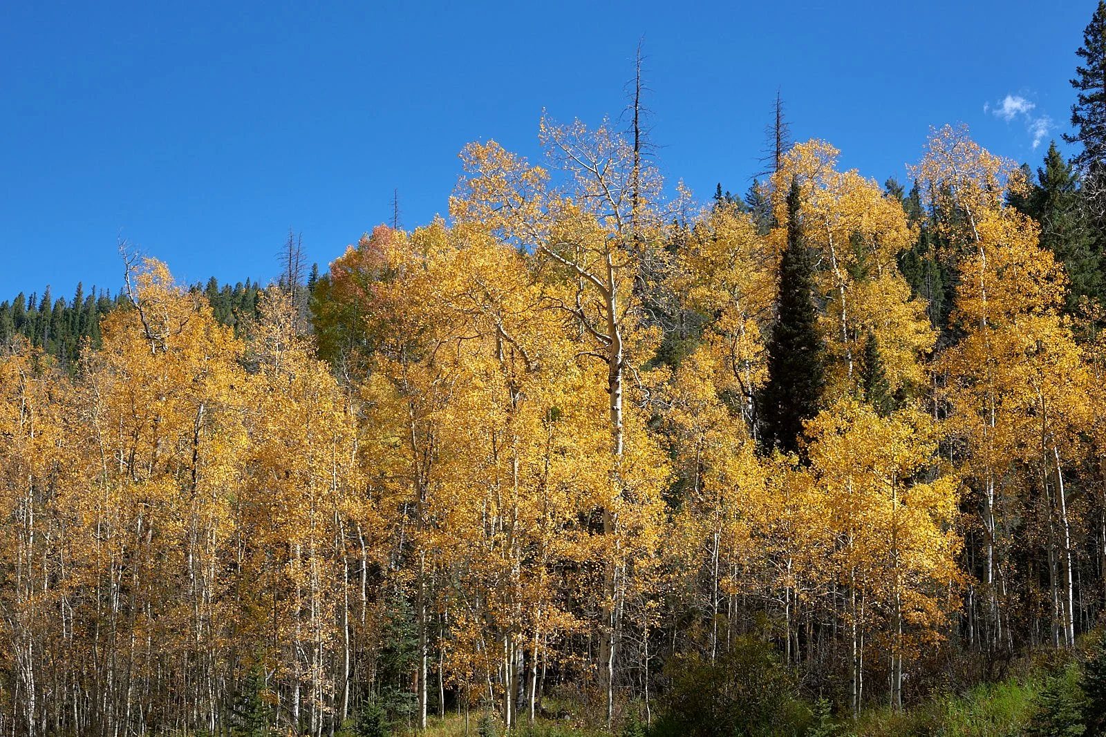
Top row: Left, Cottonwood Pass, CO. Right, Quaking Aspen, Arapaho National Forest.
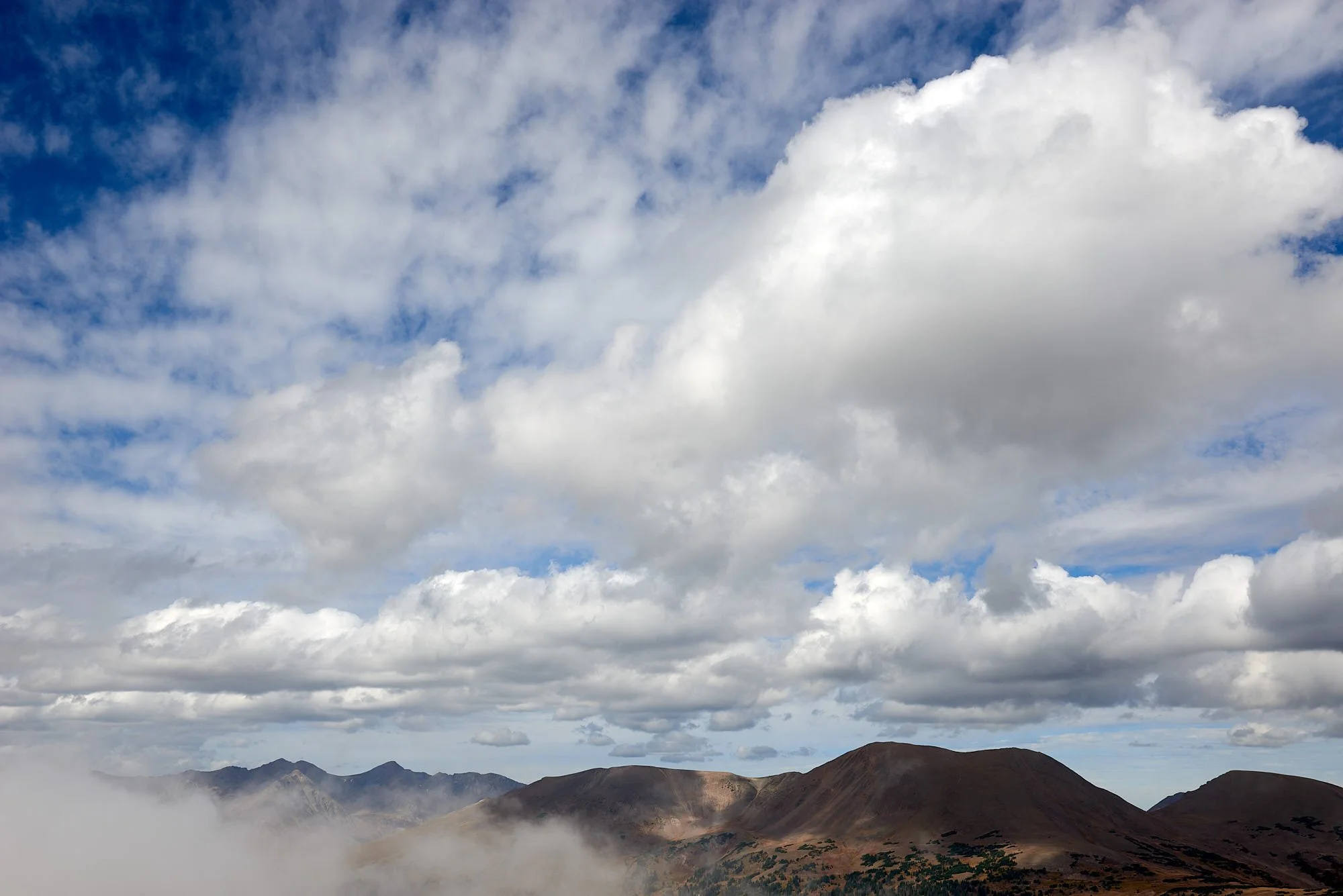
2nd row: Left, Changing weather, Rocky Mountains National Park. Right, Fall colors near Continental Divide.
3rd row: Left, San Juan River - crystal clear near its origin in the San Juan Mountains. Right, Never Summer Mountains, Rocky Mountain National. Park.
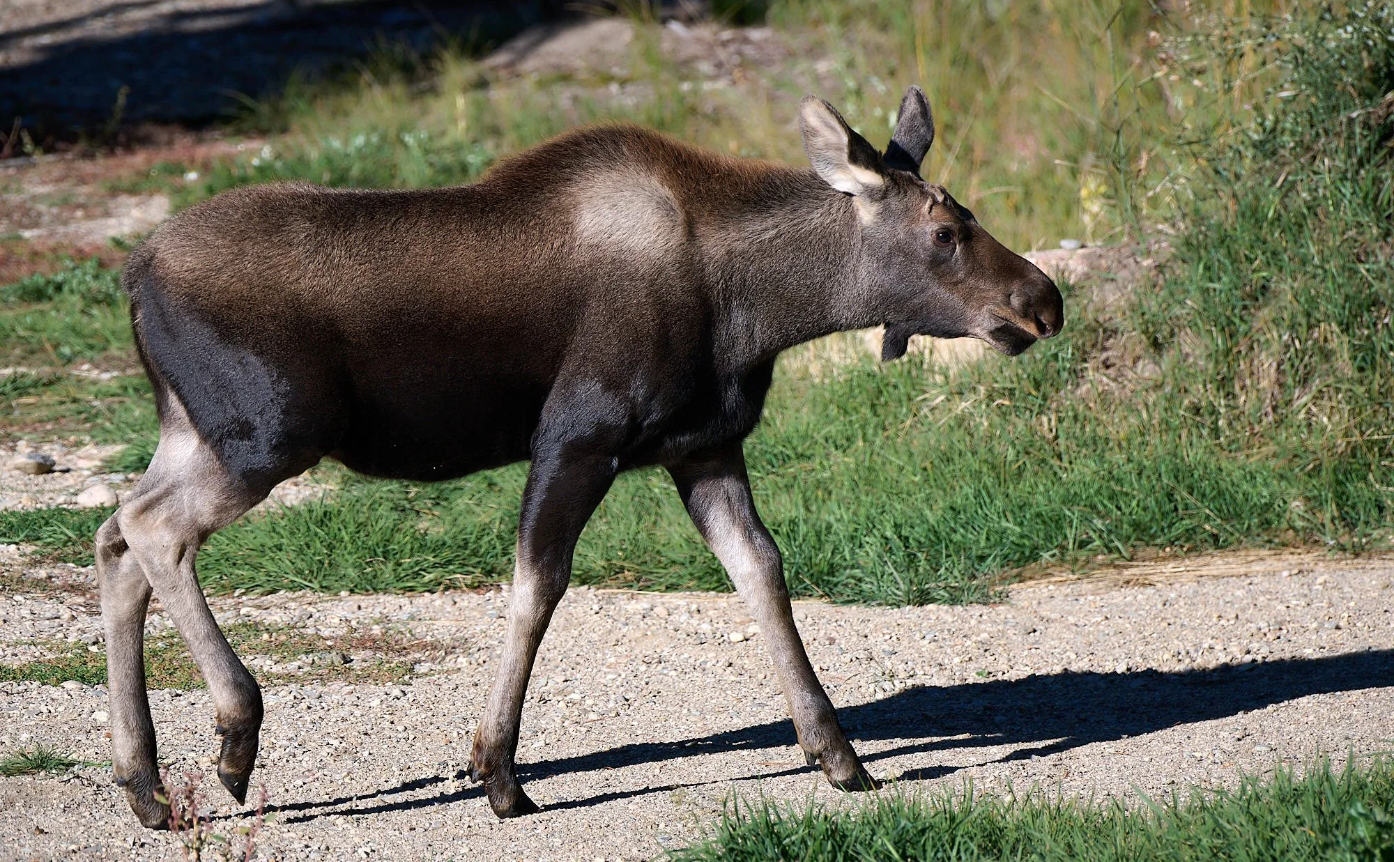
4th row: Moose are usually solitary, unlike most other members of the deer family, but cows (right image) have very strong bonds with their calves (left image) and are extremely protective of them. This cow was devouring an invasive non-native weed - Good Mom!
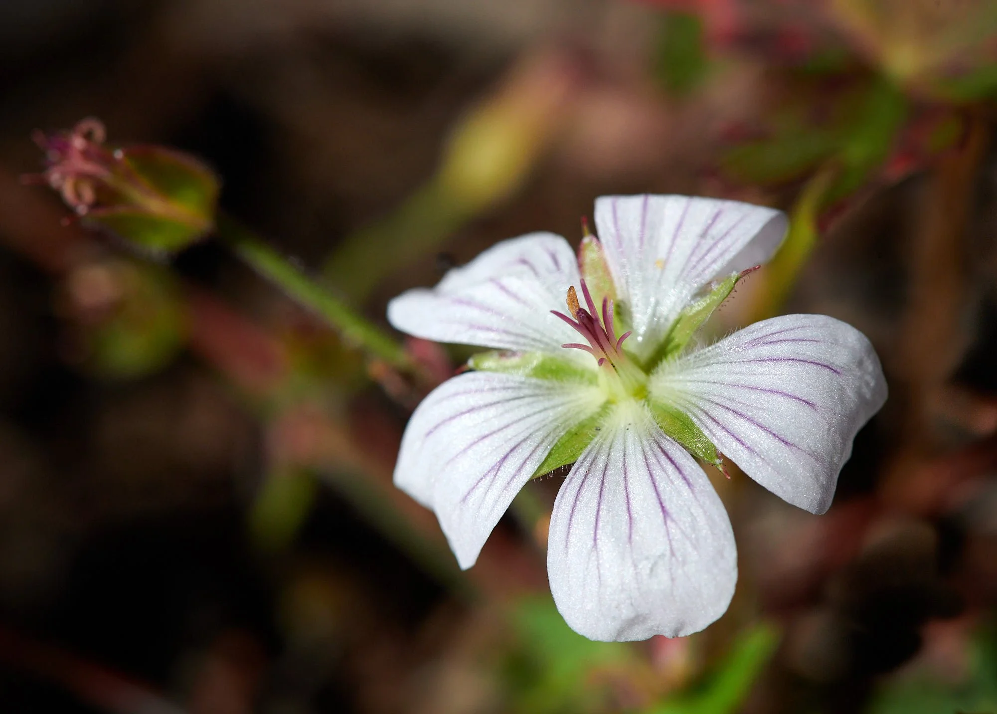
Bottom row: Left, Geranium spp, Cottonwood Pass. Right, Arnica spp, Cottonwood Pass
Boulder, CO
Stu joined us in the Rockies, camping in a classic Vanawagon with a hot Subaru engine. We then motored in convoy to Boulder and met up with Rachel at her house. It was a pleasure to spend time with them and to be shown a few of Boulder’s many attractions.
Great Sand Dunes National Park
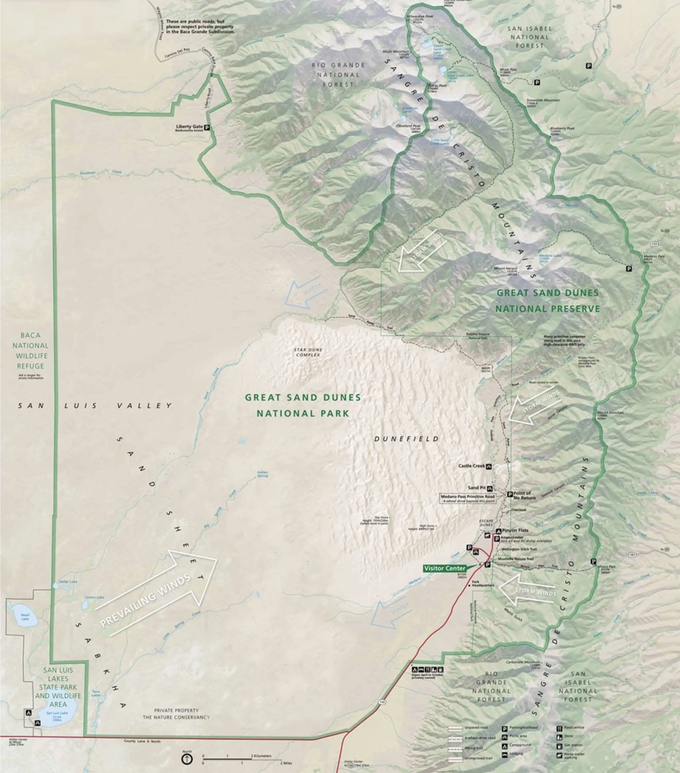
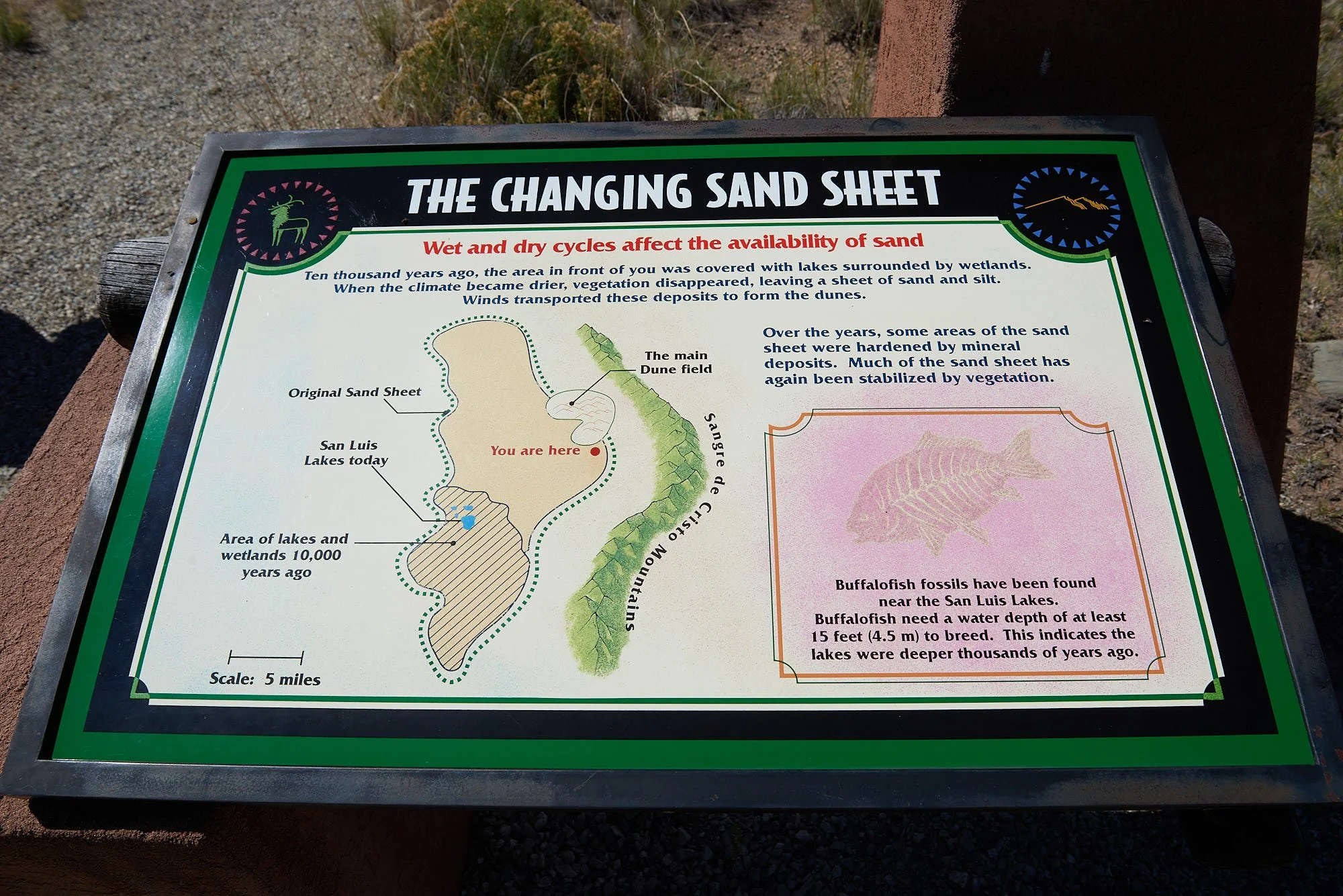
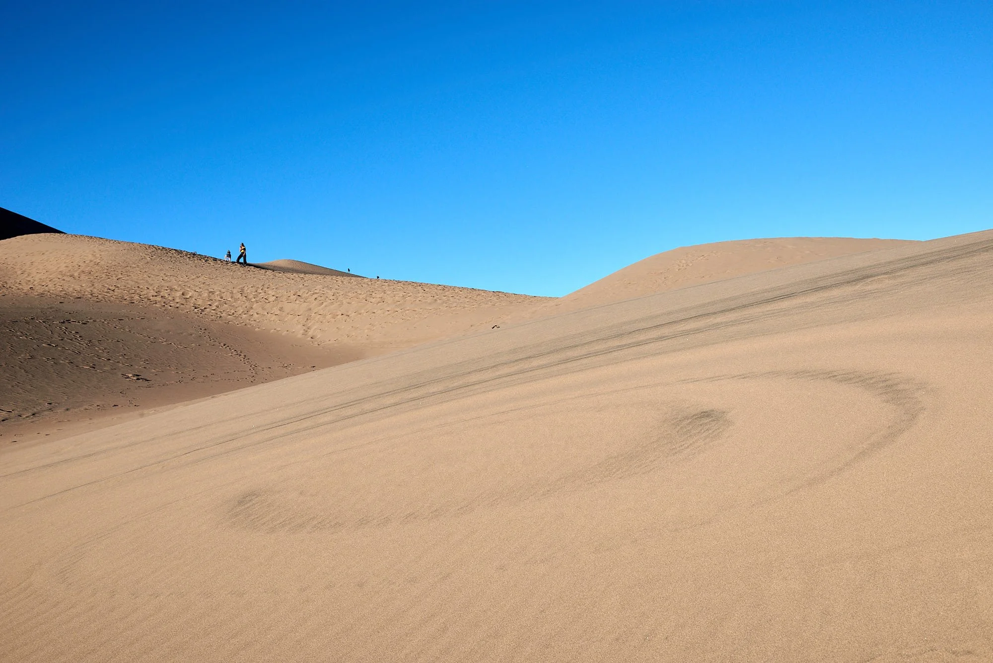
The San Luis Valley developed between the Sangre de Cristo Mountains (formed by tectonic uplift) and the San Juan Mountains (result of volcanic activity). A huge lake (Lake Alamosa) formed in the valley and sediments from both mountain ranges washed into it. Lake Alamosa burst through its southern retaining wall and drained rapidly into the Rio Grande River but sediments continued to be deposited in the lakebed which became an expansive sandy playa.
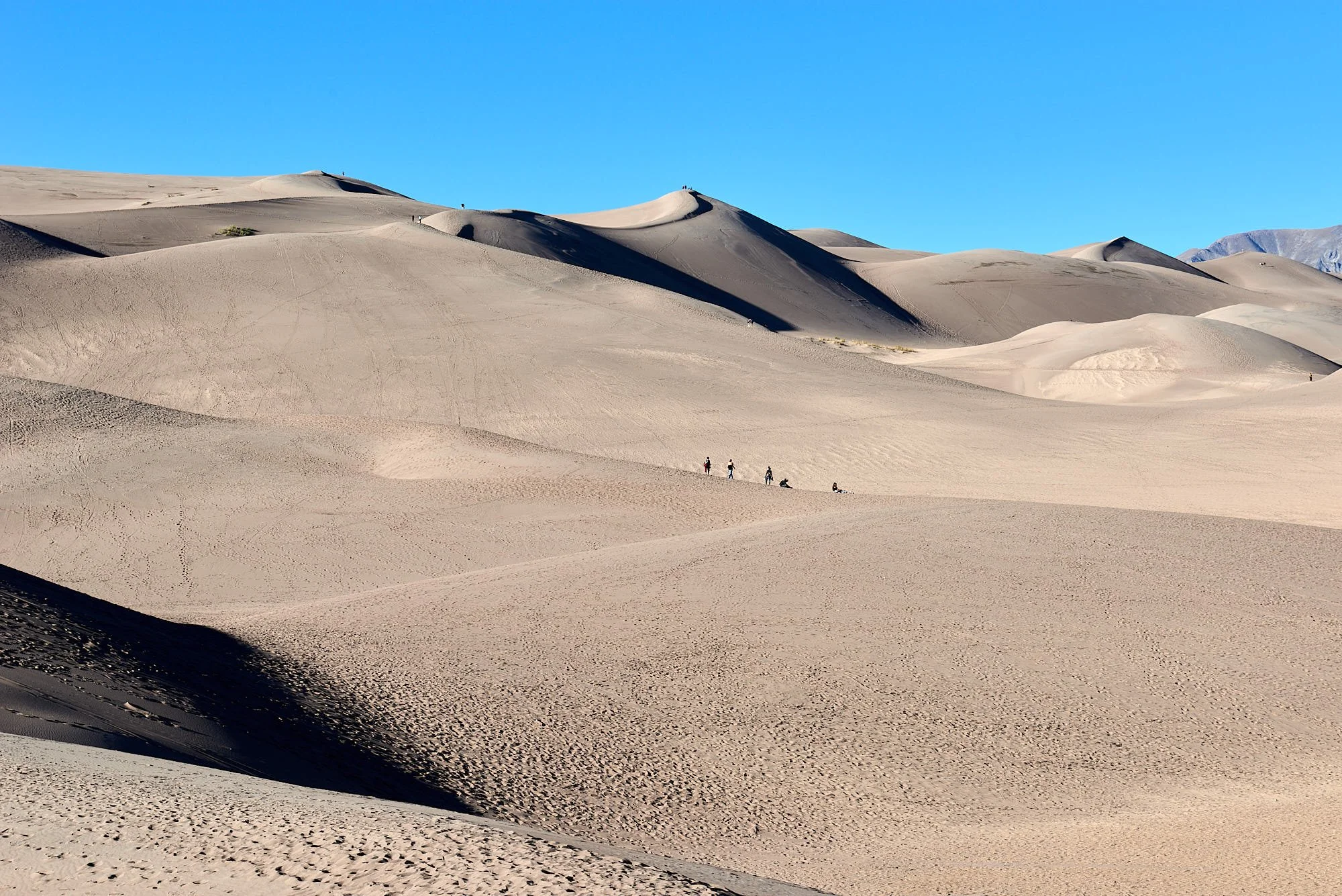
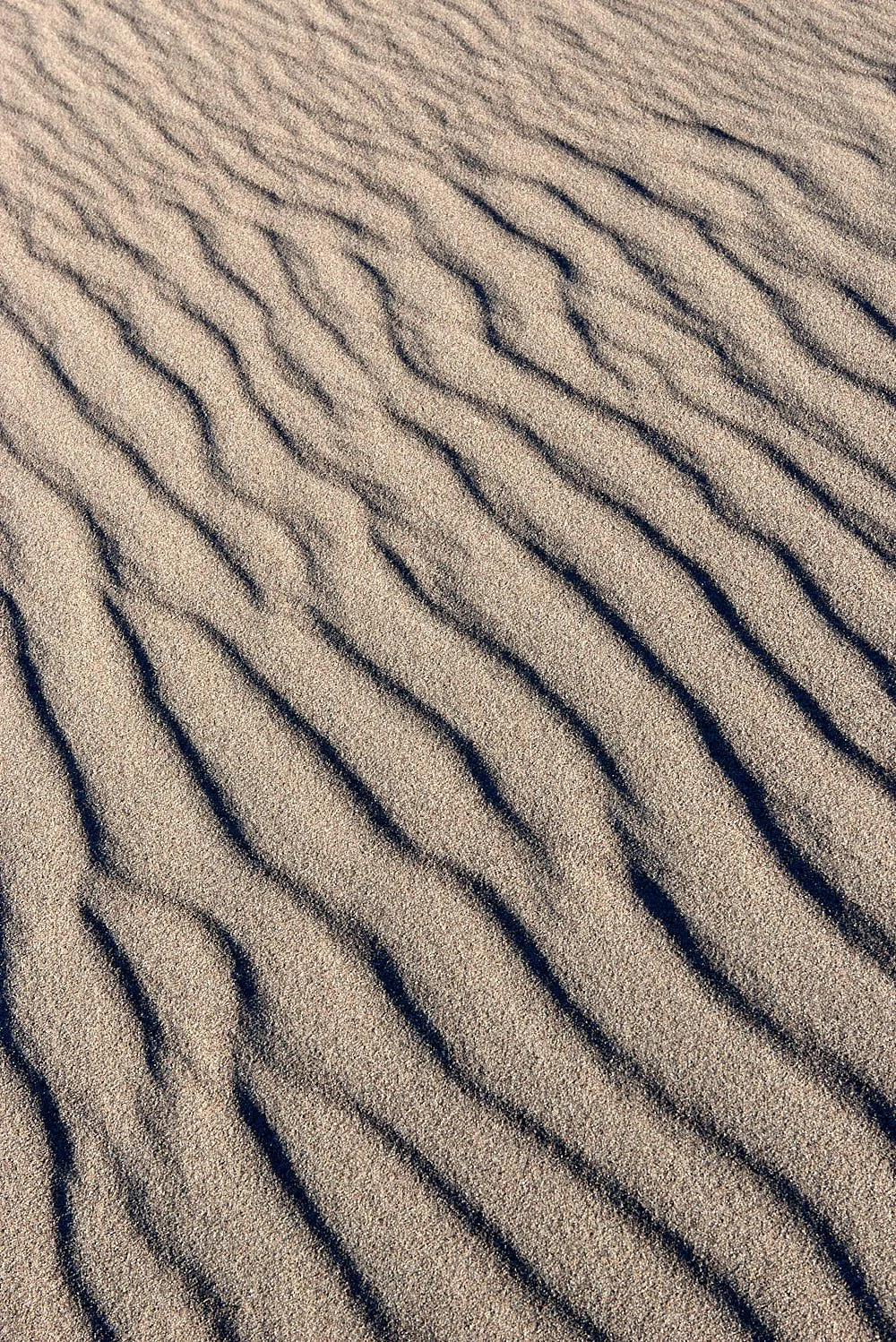
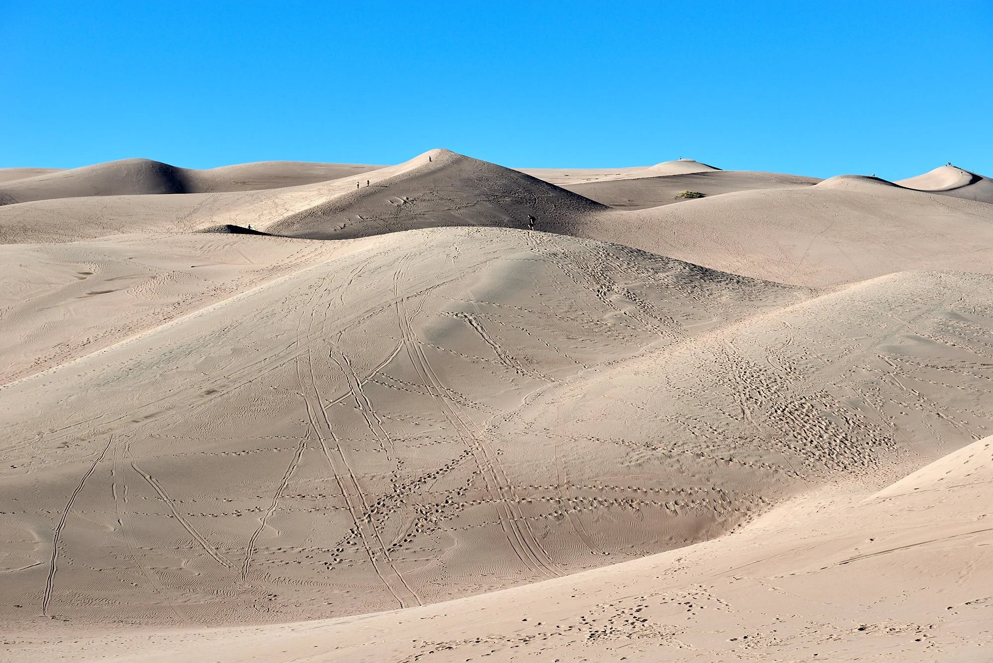
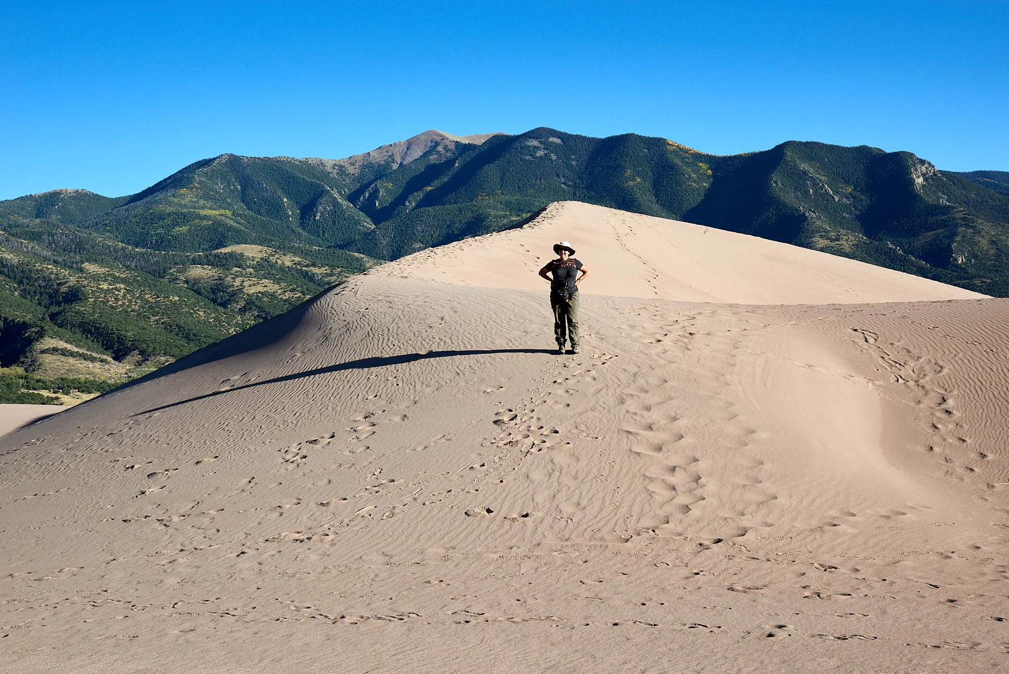
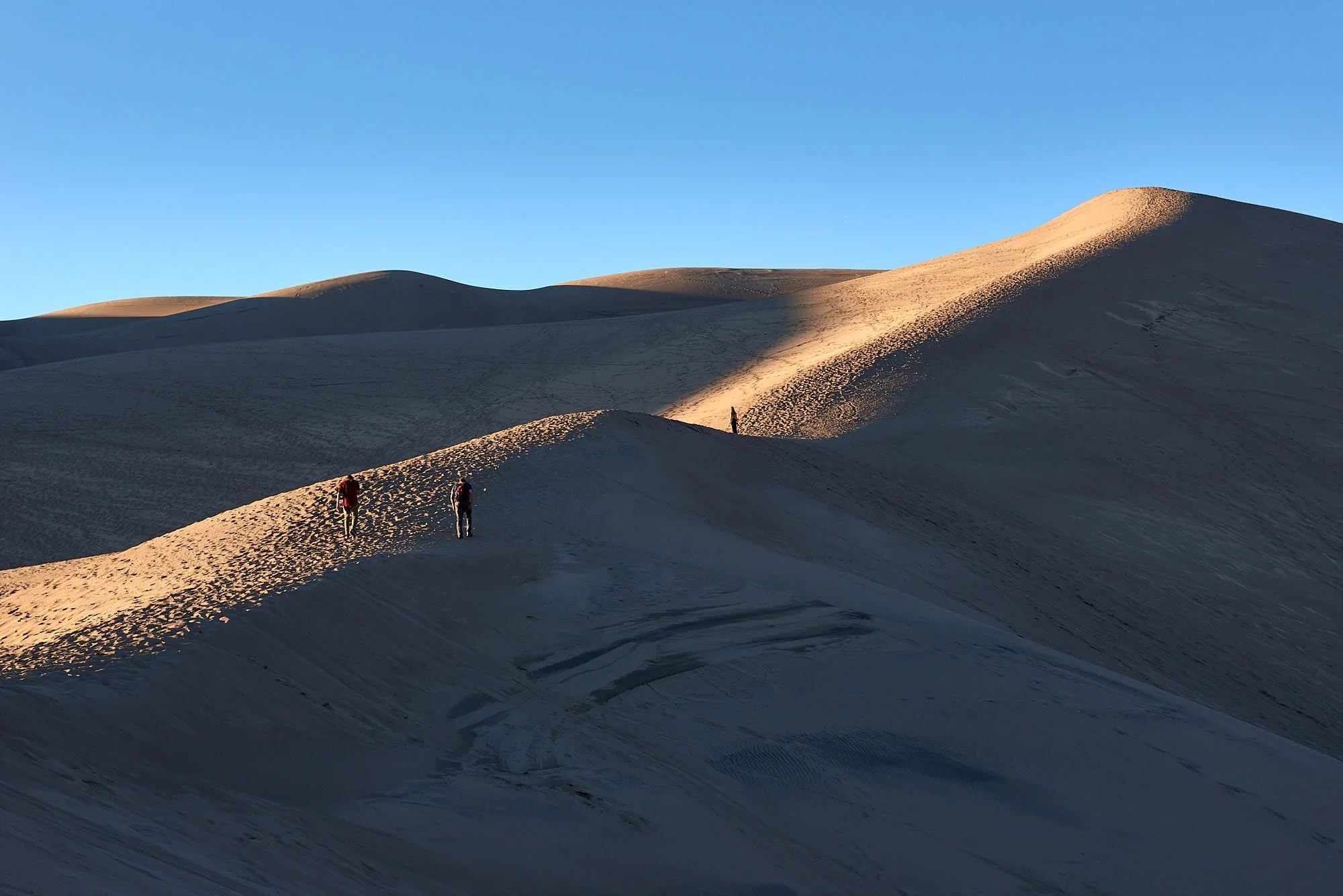
Predominant southwest winds transport the valley sand toward at the base of the Sangre de Cristo Mountains where it accumulates as dunes. Occasionally, during storms, winds blow back toward the valley, causing the dunes to grow vertically. The sand dunes are the tallest in US (741 feet).
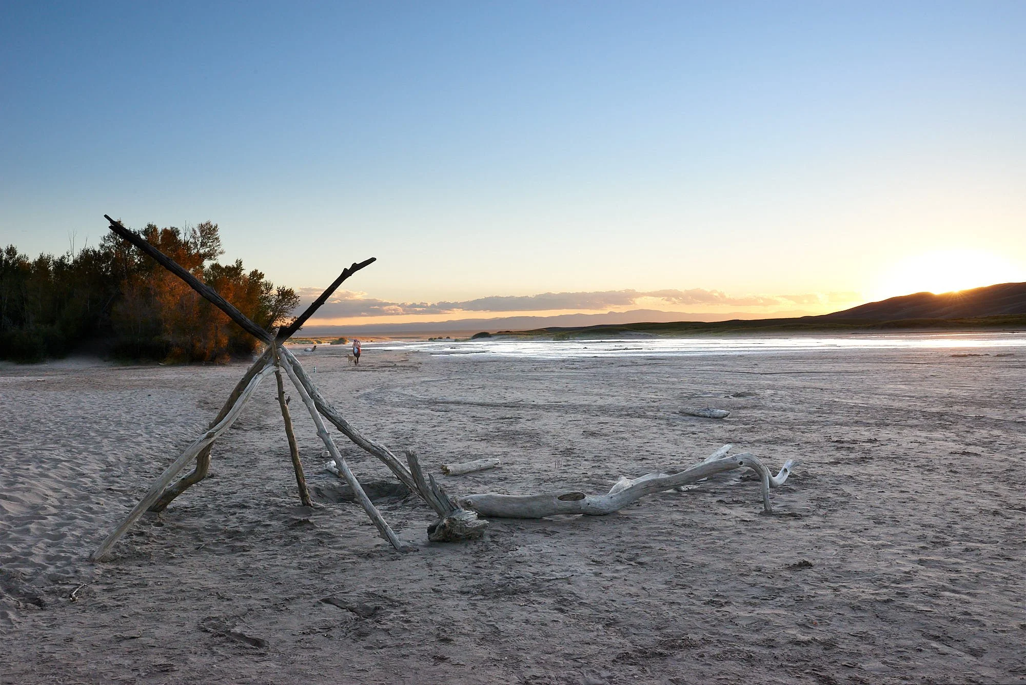
Two seasonal mountain streams, Medano Creek and Sand Creek, capture sand from the Sangre de Cristo mountain side of the dune field and carry it around the dunes and back to the valley floor. The creeks then disappear into the sand sheet, and the sand blows back into the dunes. An eternal cycle.
https://www.nps.gov/grsa/learn/nature/sanddunes.htm
The Sand Dunes were popular with kids (sand castles), teenagers (sledding), young adults (fashion photography) and old codgers like me.
Ancestral Pueblo
Decades ago, I read Dee Brown’s book “Bury My Heart At Wounded Knee”. On arrival in the US, I observed that the Native American perspective is almost absent from topical conversation.
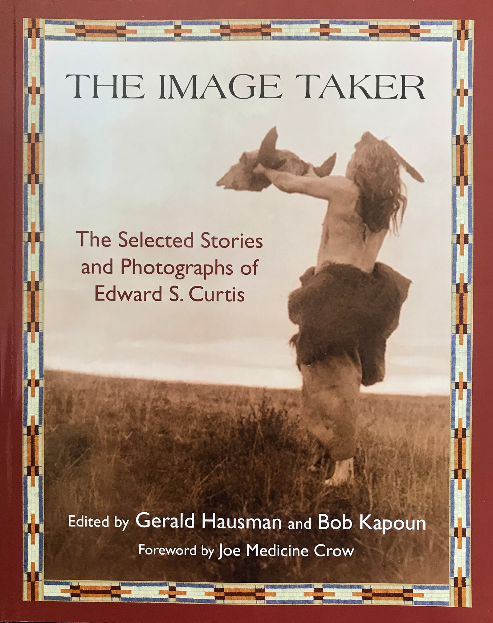
The Brinton Museum’s American Indian collection stimulated my interest to learn more about the culture of Indian tribes and I purchased “The Image Taker”, a book featuring the work of Edward S. Curtis. It was a good choice. The portraits are superb (glass negatives!) and the stories insightful. From 1900-1927 Curtis visited many different Indian tribes to photograph their way of life, document their creation myths and record the reminisces of elders who lived before the reservation period.
Our next few destinations were designed to gain knowledge about earlier indigenous peoples.
Mesa Verde National Park, Colorado
Technically, “mesa” means flat-topped. Mesa Verde (elevation approx. 7,000 ft) is actually a “cuesta” - its top slopes gently. This is relevant because the southern slope provides more sunlight and warmth, lengthening the growing season. Additionally, the soils are suitable for crops, ground water is available as springs, and annual precipitation averages 18 inches, split between snow and summer monsoons - a pattern that allows for farming without irrigation.
Mesa Verde, looking north-east, showing its elevation above the surrounding plains.
Mesa Verde, looking south-west, illustrating the verdant vegetation supported by the soils
Basketmakers
Ancestral Pueblo settled on Mesa Verde around 550 CE (common era). This is called the Basketmaker Period because of the finely crafted water-proof baskets used at that time. The people farmed corn, beans and squash, hunted animals and gathered plants. Until about 750 CE they lived in small villages in pit houses that were built on mesa tops and in cliff alcoves. Over time, they developed pottery skills and discarded the spear & atlatl in favor of the bow & arrow.
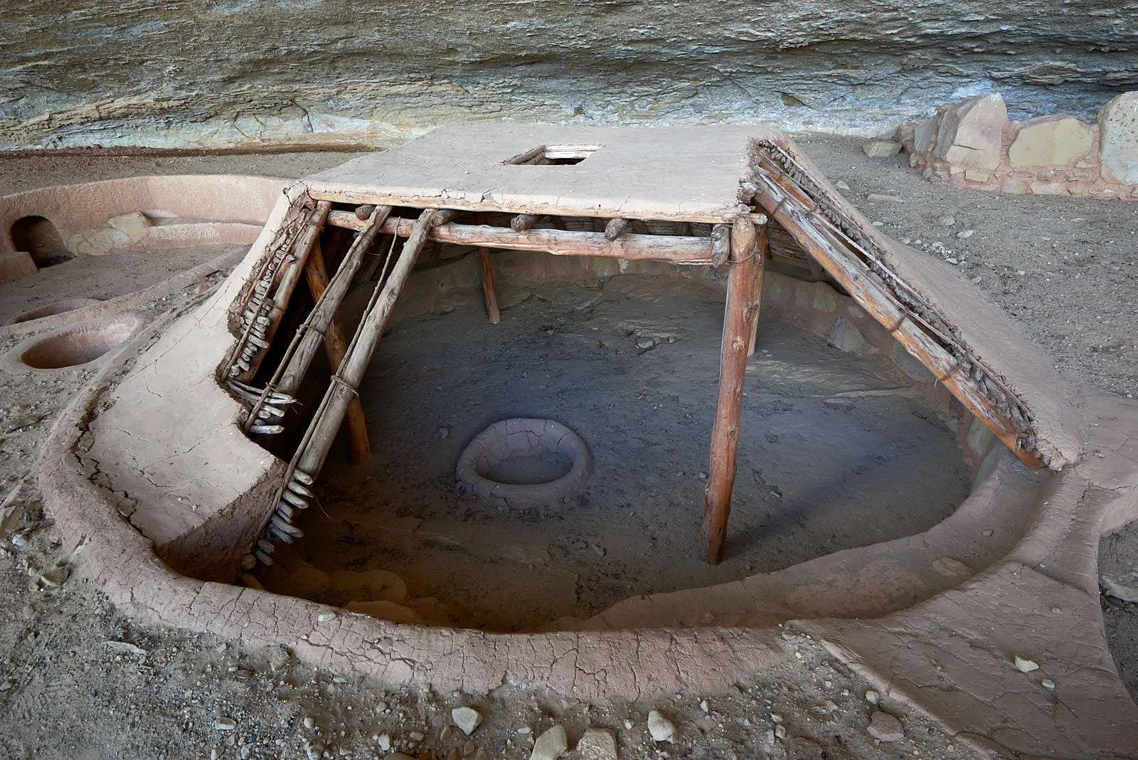
Pit house reconstruction, done in 1960. Step House, Wetherill Mesa
Masoners
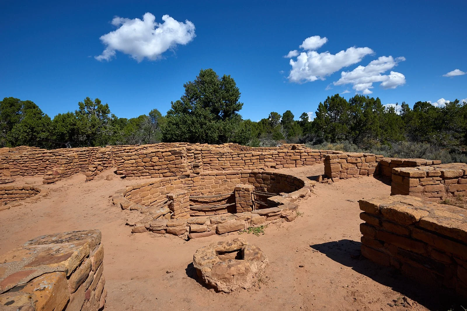
Around 750 CE people started to build pole and adobe houses above ground. This is called the Pueblo Period. Houses were constructed with walls in common. A pit house was often included which evolved over time into a kiva. Stone masonry became prevalent around 1,000 CE, pottery skills had advanced and the majority of their food came from agriculture.
Coyote Village, in its various iterations, was occupied from 700 - 1,200 CE. Most of the ceramic pottery dates to about 1,000 CE.
Kivas
Kiva in the Hopi language refers to an underground chamber with a fire pit, ventilation system, and a roof of timbers, juniper bark and mud. Insulated by the earth, a kiva was easy to warm in winter. Entry was by ladder through a central hole in the roof. Kivas probably had multiple purposes - utilitarian, social and religious.
Far View Site, Mesa Verde.
Classic Pueblo Period
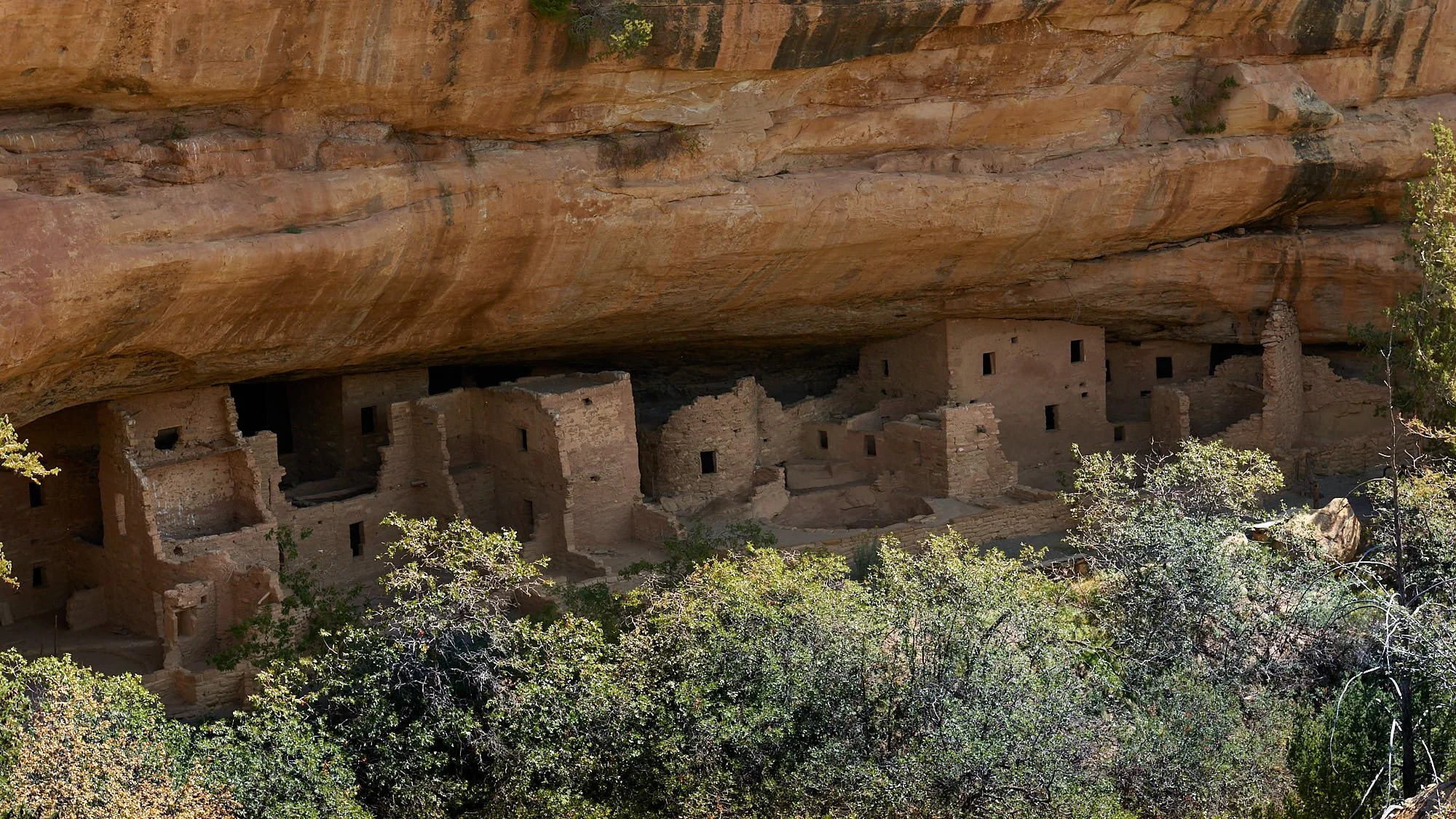
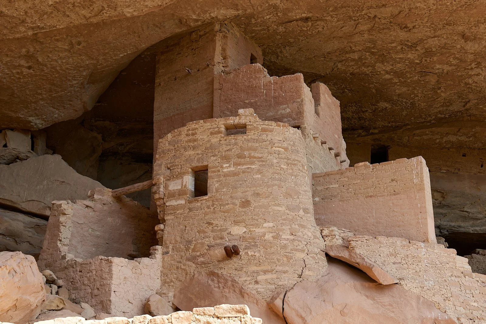
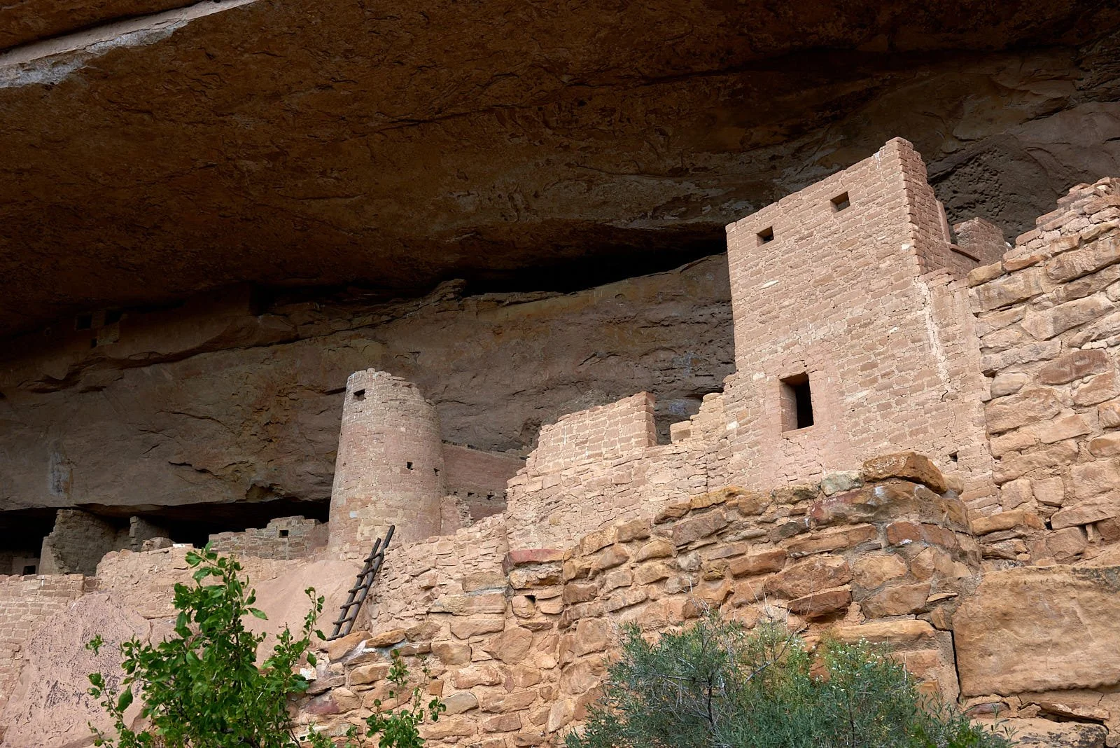
Between 1,150 - 13,00 CE, Mesa Verde accommodated thousands of Ancestral Pueblo. Around 1,250 CE, people relocated to the cliff alcoves that had sheltered the ancestors centuries before. Cliff dwellings range from one-room houses to 150-room community centers such as Cliff Palace and Long House. Building design was customized to fit the alcove. These cliff dwellings were occupied for <100 years when, for reasons uncertain, the Mesa Verde Pueblo left to migrate south to New Mexico and Arizona. Their living descendants include the people of Hopi, Zuni, Laguna, Acoma and the Puebloan communities along the Rio Grande.
(Mesa Verde information from various government publications.)
Cliff Palace
Top row: Left, Spruce Tree House. All other images are Cliff House.
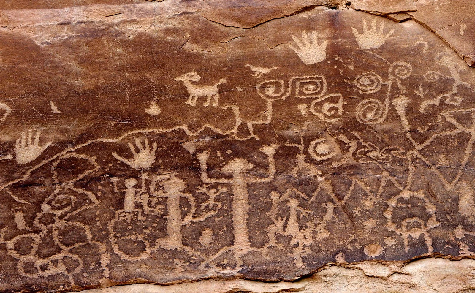
Ancient Art
A trail threading its way along the cliff faces leads one to this petroglyph (images that have been pecked or incised on rock). The precise meaning of the images cannot be known but some modern Pueblo recognize spirals as symbolizing migration and animal figures as representing clans. The panel has been interpreted as a history of different clans and their journeys to reach Mesa Verde. It is explained that petroglyph art displays people’s perceptions of their place in the world. They also reflect environmental situations and hope for what may come.
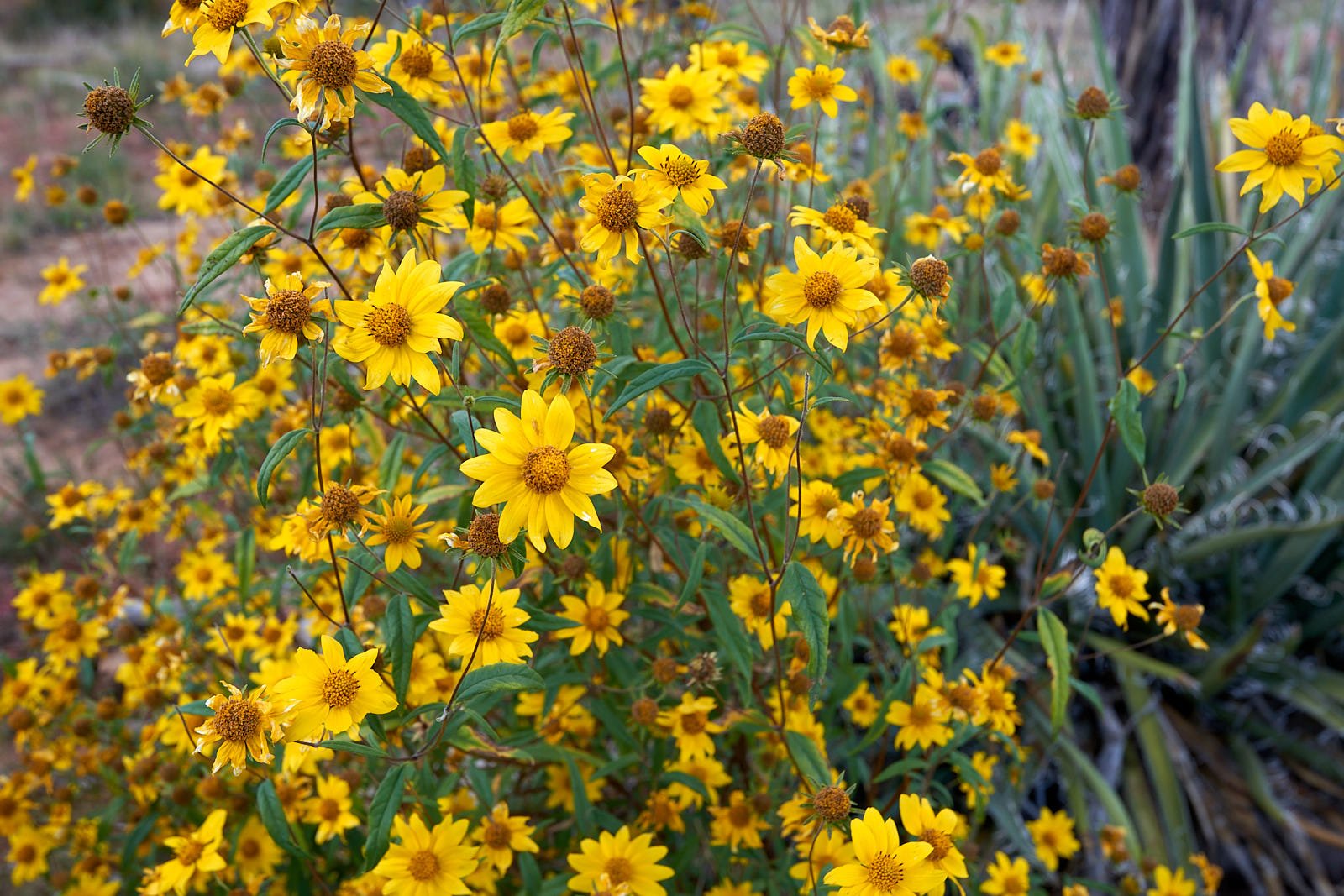
Top row: Arnica spp.
Bottom row: Left, Arnica spp. Right, Unknown
Hovenweep National Monument, Colorado
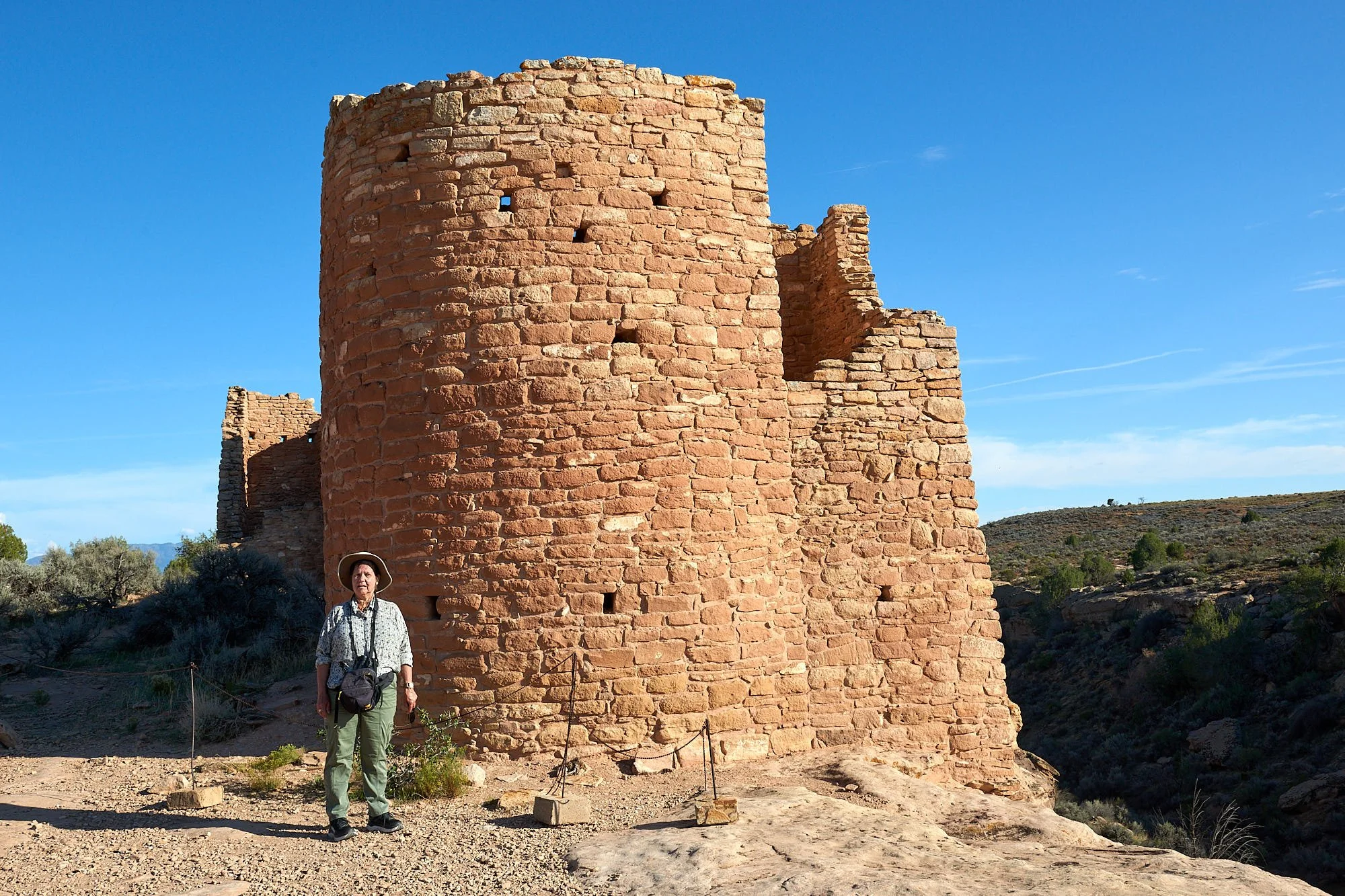
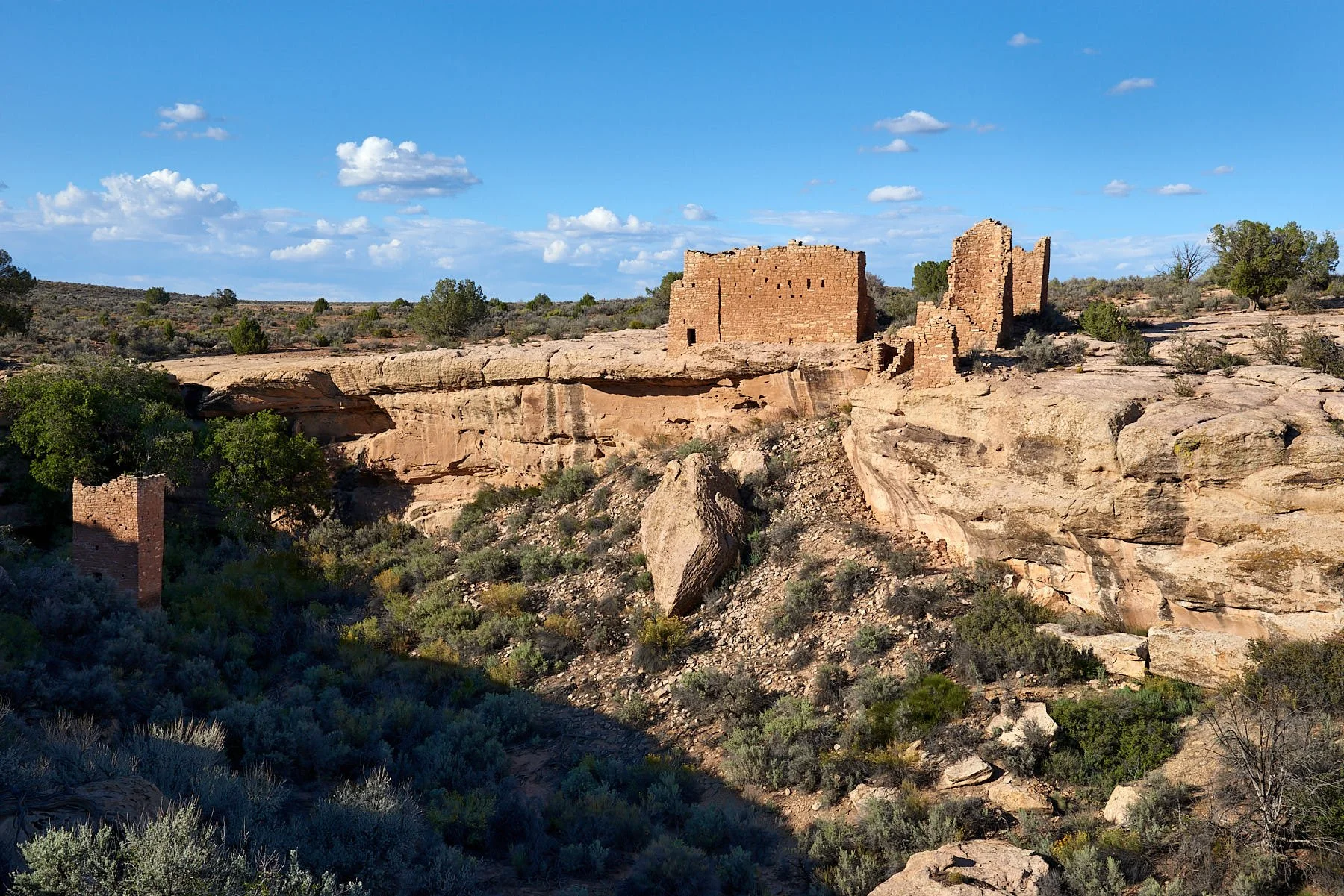
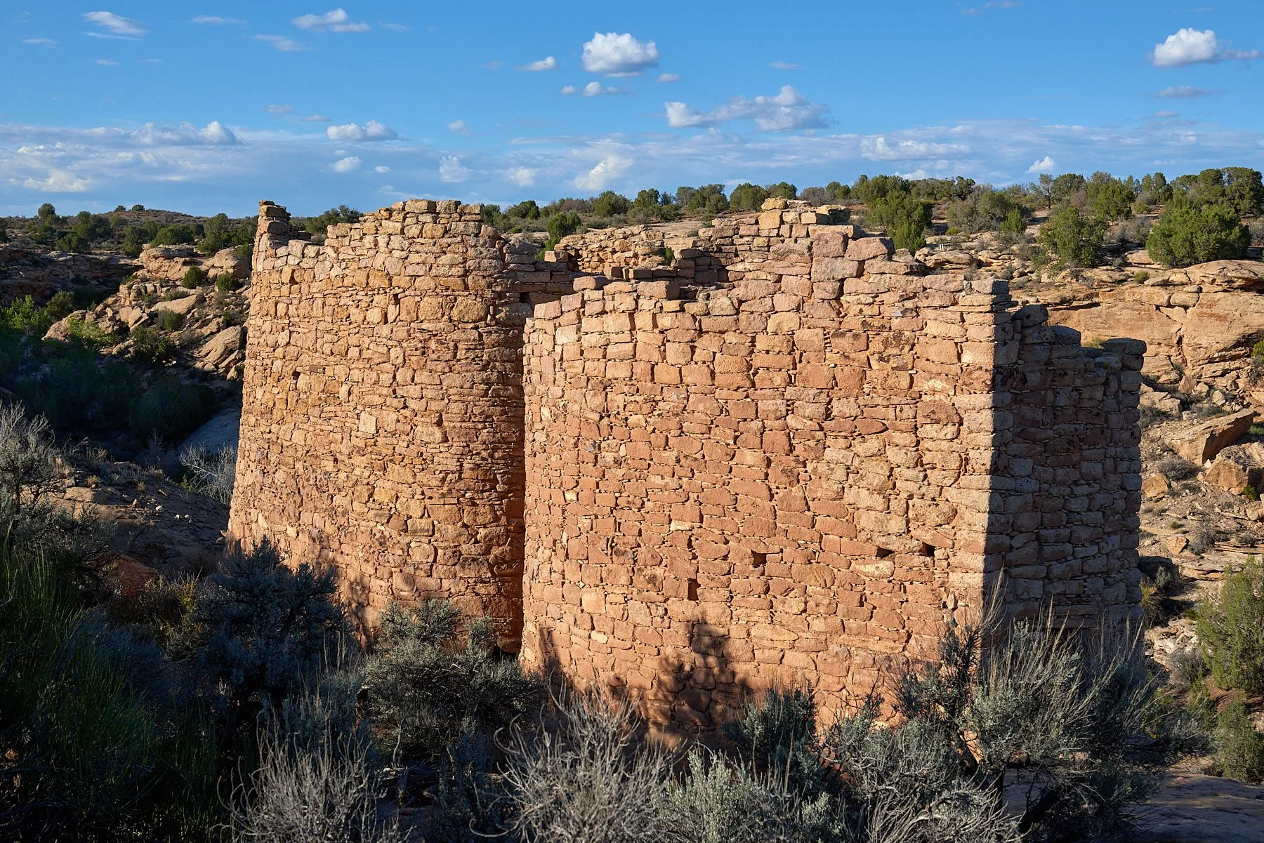
The area was occupied by nomadic Archaic hunter-gatherers about 11,000 years ago. However, large numbers of Ancestral Pueblo did not settle in the area until after 1,100 CE and the Hovenweep towers were completed around 1,230 CE. It is thought that prolonged drought, overuse of natural resources and perhaps internal strife the lead to the abandonment of the region and resettlement further south in the Rio Grande valley and Hopi mesas of Arizona.
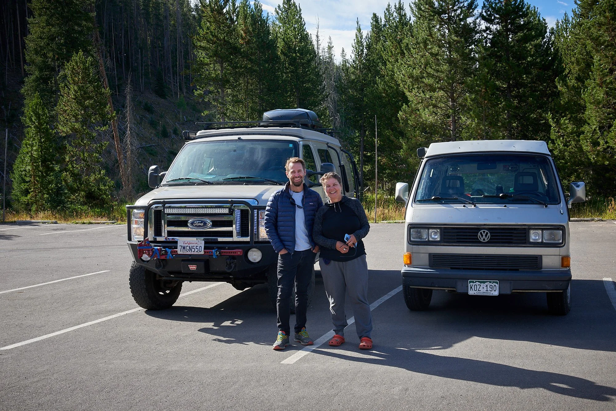
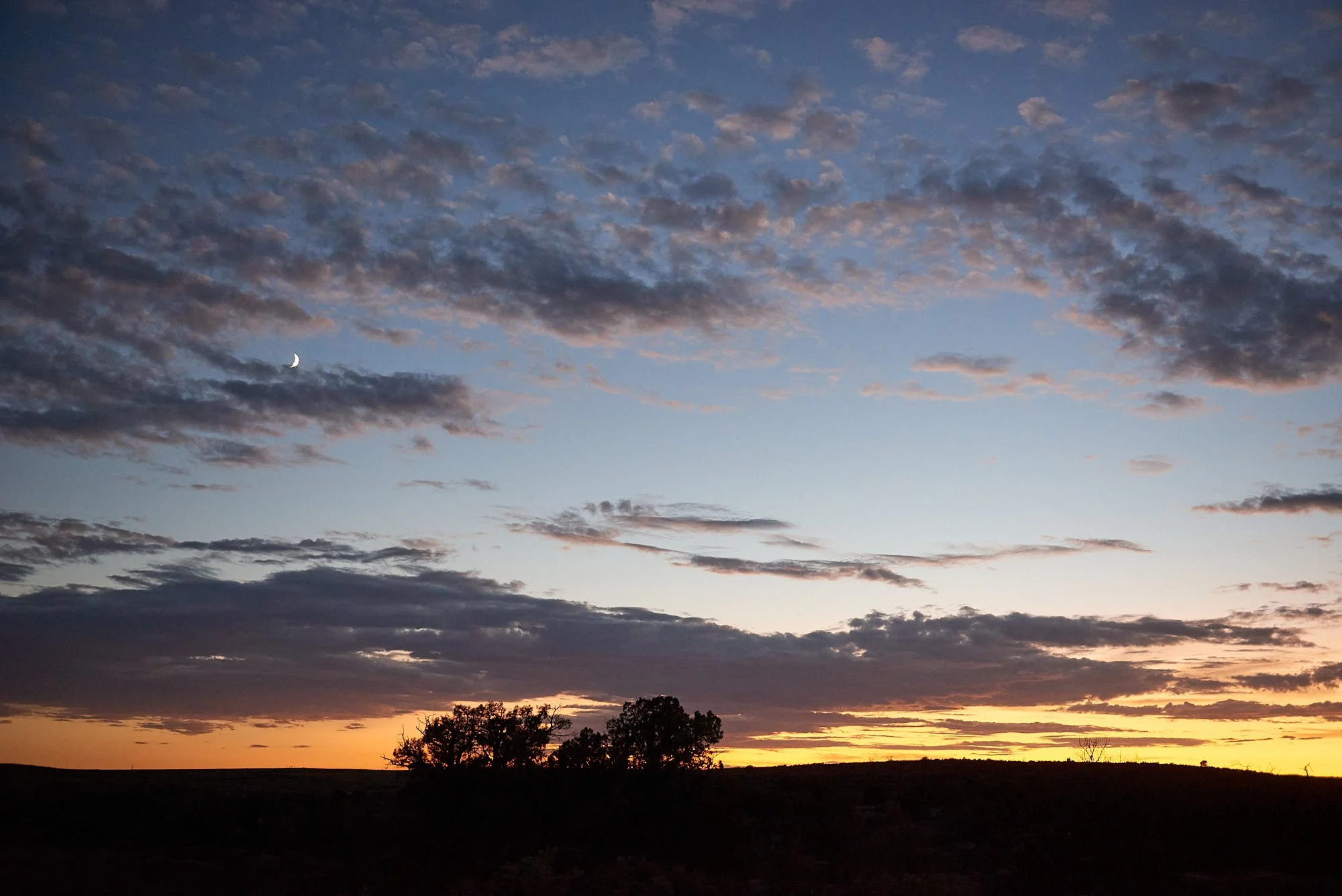
At Hovenweep campground we connected with Betty and Terry, our nomadic friends with a Transit Sportsmobile who have been traveling the US for decades. It was wonderful to enjoy sundowners with them.
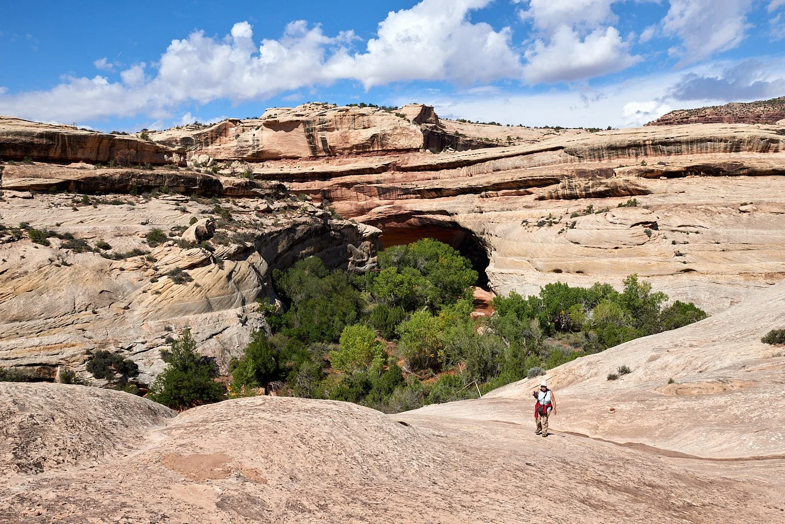
Natural Bridges National Monument
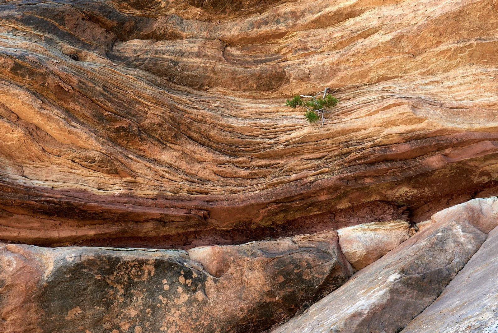
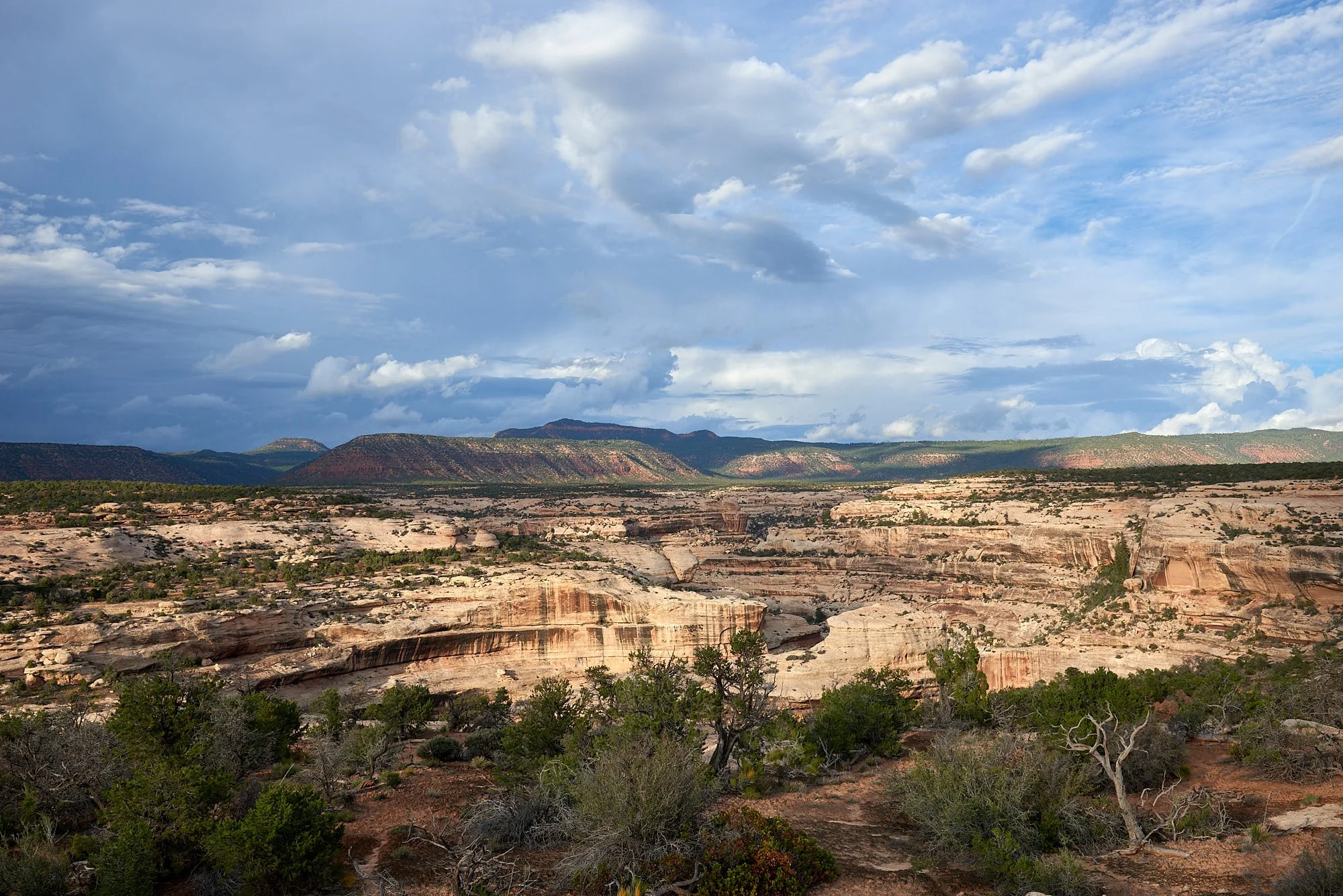
Southeastern Utah is a land of radiant color. Much color in canyon country derives from the presence of iron in different combinations with oxygen. Oxygen rusted the iron a brilliant orange-red. Without enough oxygen, iron turns green. When iron combines with both hydrogen and oxygen, it becomes yellow-orange limonite. Beneath the multi-colored mesas is the white quartz of the ancient Cedar Mesa Sandstone.
Natural Bridges (6,500 ft elevation) is within the Cedar Mesa. Streams have cut two deep canyons into the sandstone formed from the shore of an ancient sea.
Bridges
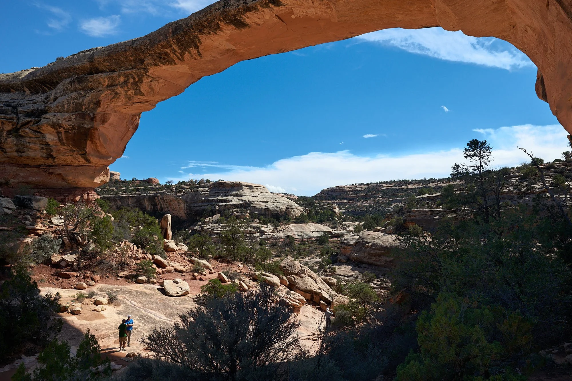
The Monument’s rivers meander considerably, with thin canyon walls separating each twist of the water’s flow. These walls are gradually eroded through, leaving thin natural bridges of rock above the streambed. Sipapu Bridge is the second largest natural bridge in the world (Rainbow Bridge in Glen Canyon is #1).
At first, each bridge is thick and massive like Kachina Bridge. Erosion works away at the rock, making the bridge more delicate over time, like Owachomo Bridge. Eventually, the bridge collapses.
From: https://www.nps.gov/nabr/learn/nature/geologicformations.htm
Sipapu Bridge
Kachina Bridge
Owachomo Bridge
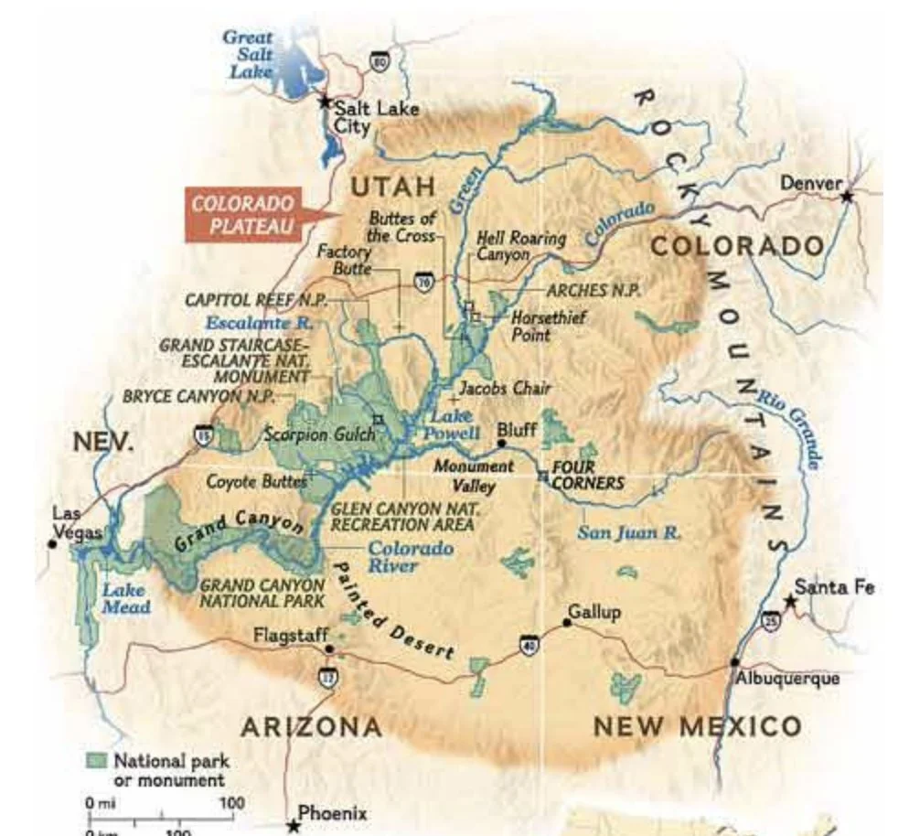
The Colorado Plateau
The Colorado Plateau is an intermontane desert region of vast sedimentary rock layers and is situated around the Four Corners region of US. About 90% of the area is drained by the Colorado River and its main tributaries: the Green, San Juan, and Little Colorado. The Colorado River has been in existence for at least 6 million years.
The Colorado Plateau has enjoyed remarkable stability; minimal faulting and folding has affected this high, thick crustal block within the last 600 million years. The Laramide orogeny uplifted the Colorado Plateau Province as a single block, possibly due to its great thickness. With the Plateau’s gain in altitude, water erosion increased and deep canyons formed.
Map: Glen Canyon Institute.
Natural Bridges National Monument
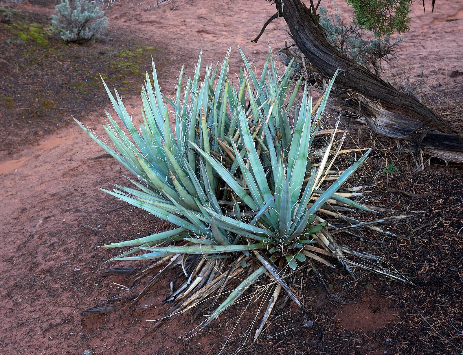
Top row: Left, Sage spp. Right, Narrow-leafed Yucca.
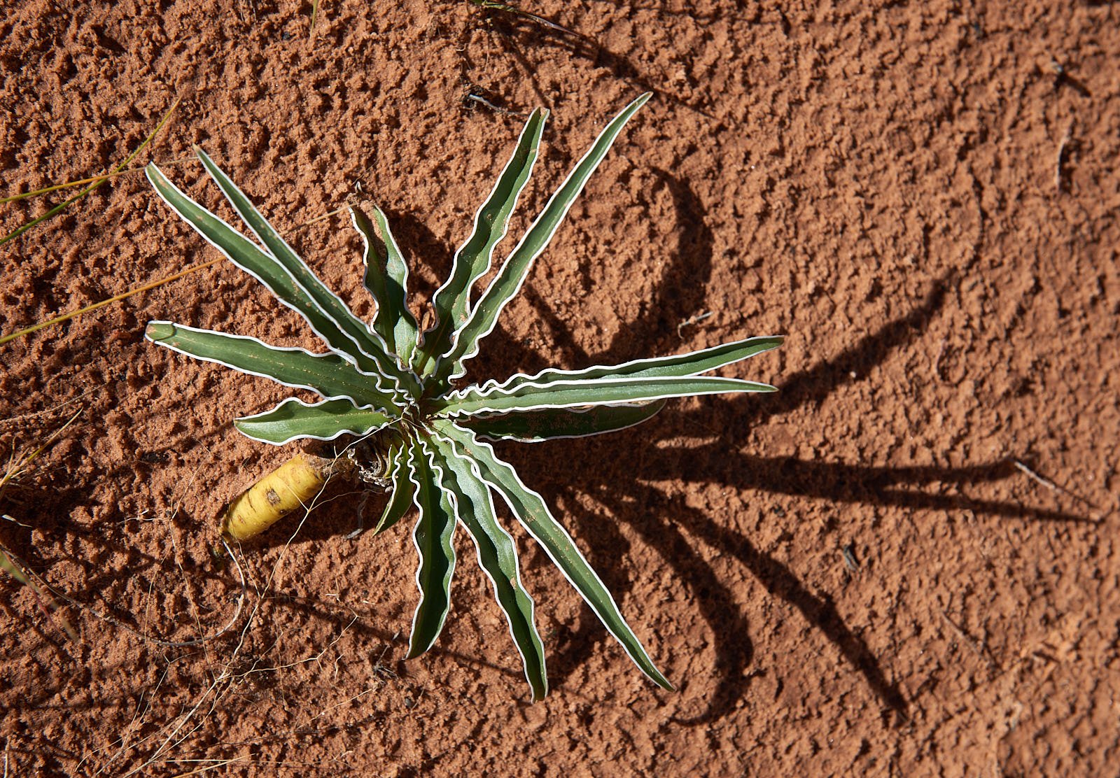
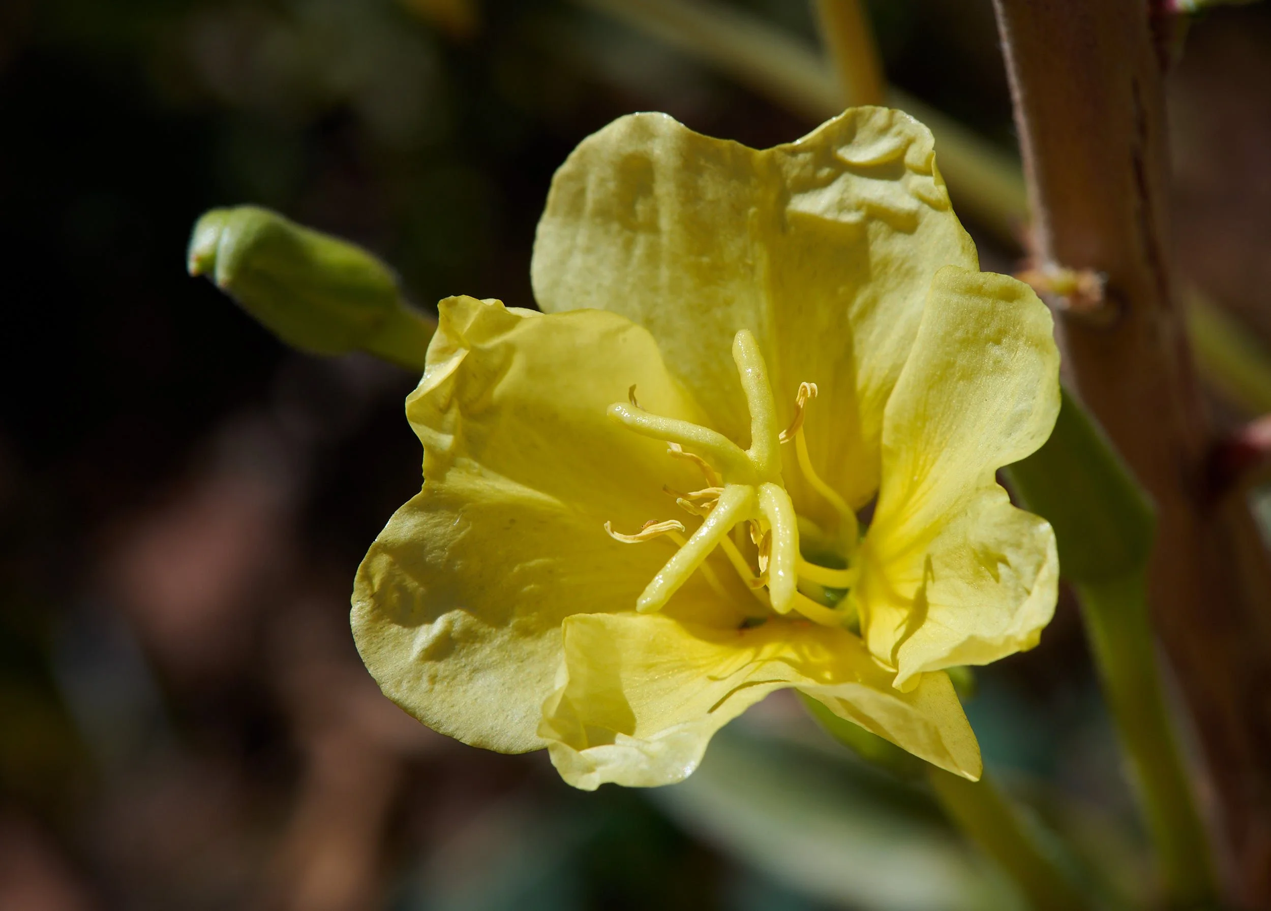
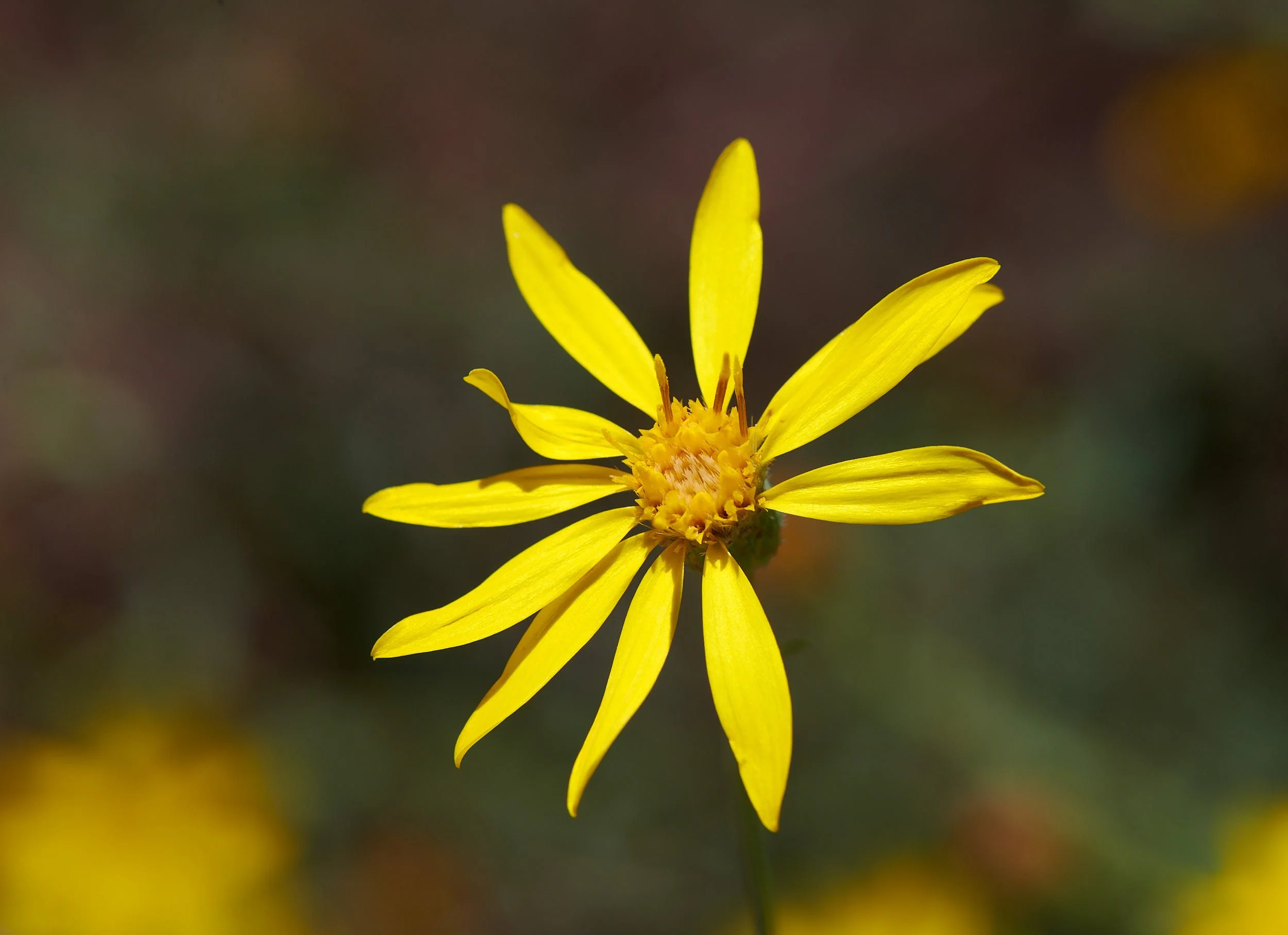
2nd row: Left, Star Lily. Right, Yellow Evening Primrose.
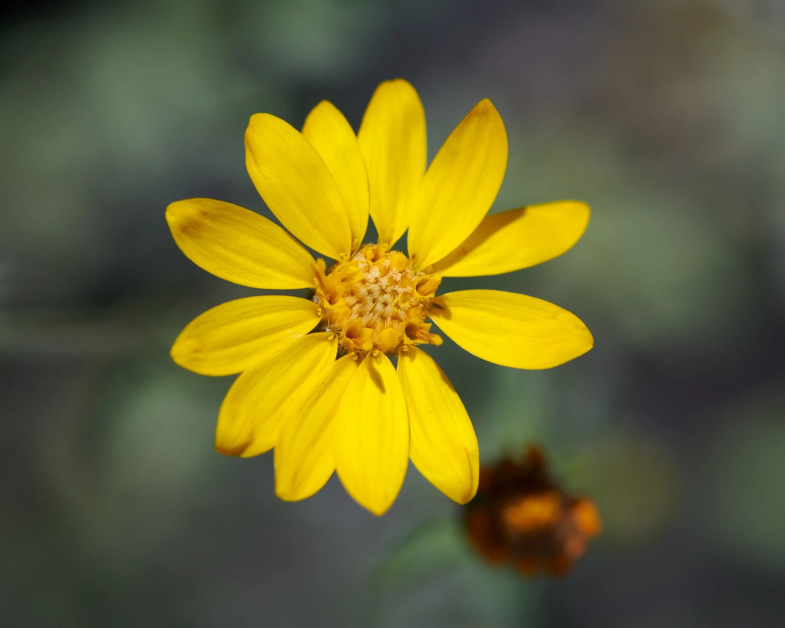
3rd row: Both images, Aster family, spp unknown.
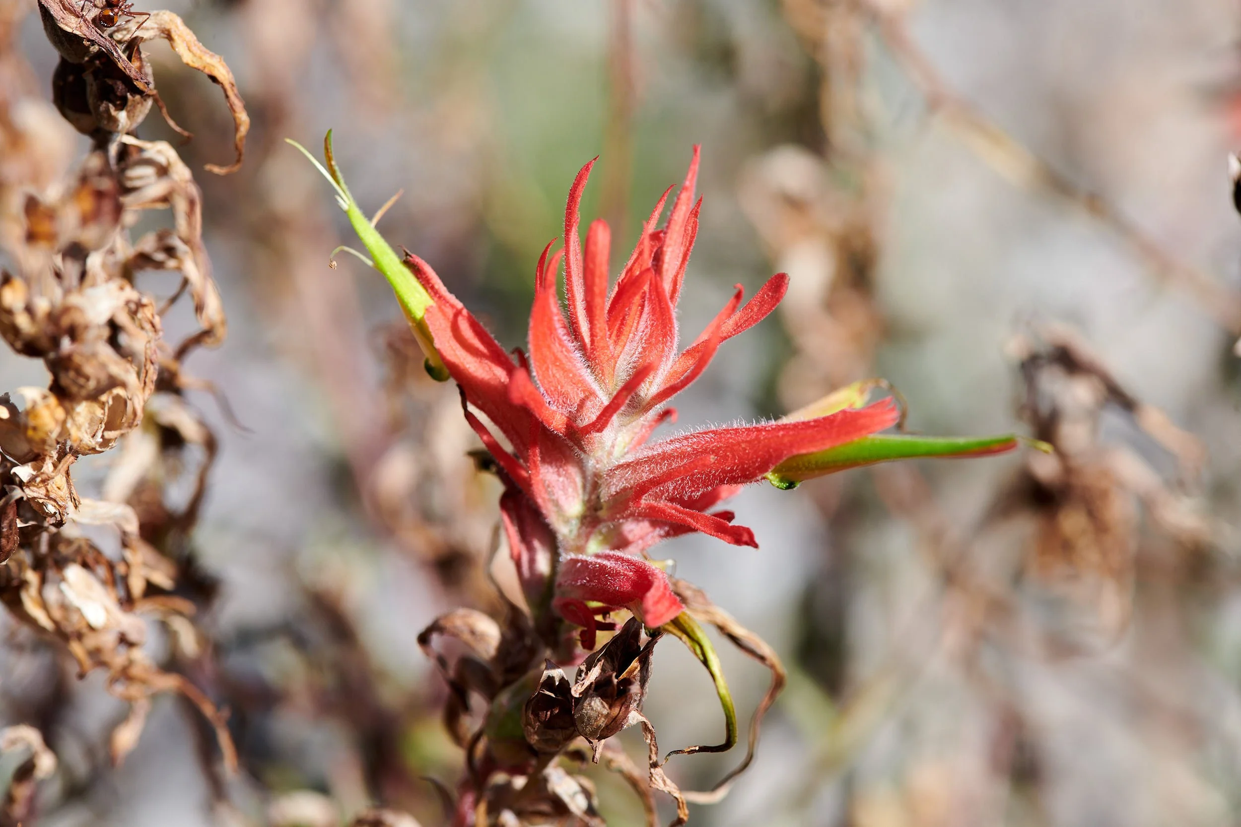
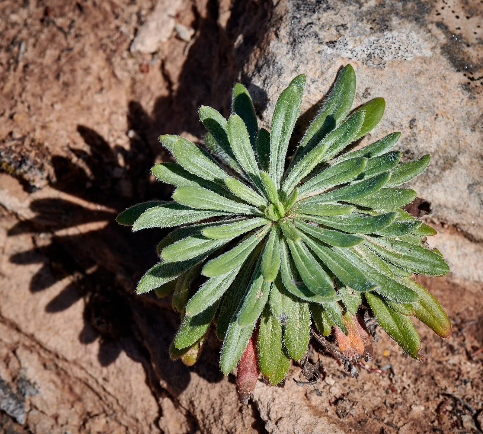
4th row: Left, Paintbrush. Right, unknown.
Bottom: Sunset at camp.
Monsoon rain!
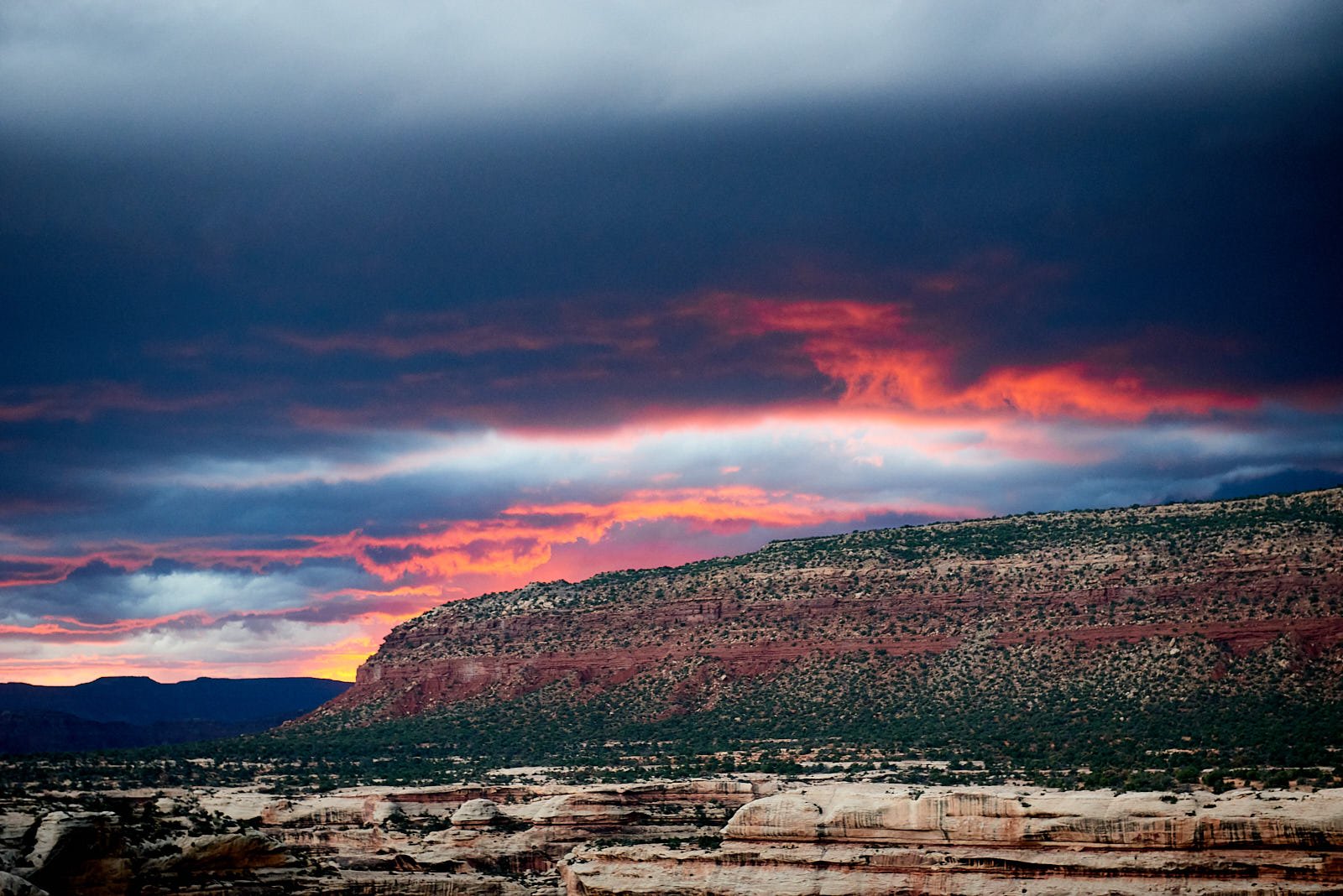
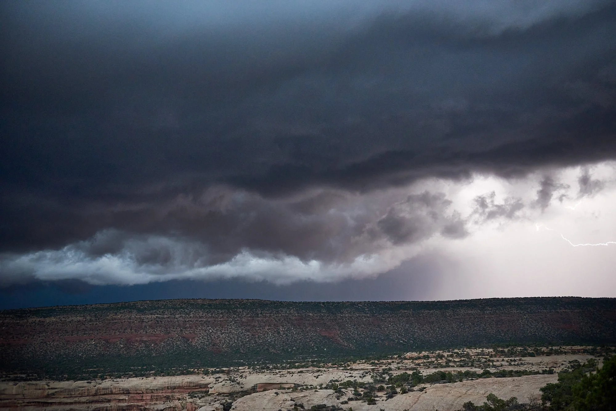
We decided to watch the sunset from an overlook near Sipapu Bridge. A storm was brewing - with lightning, almighty thunder and hail. Very exciting!
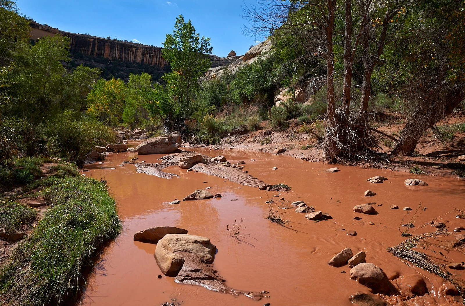
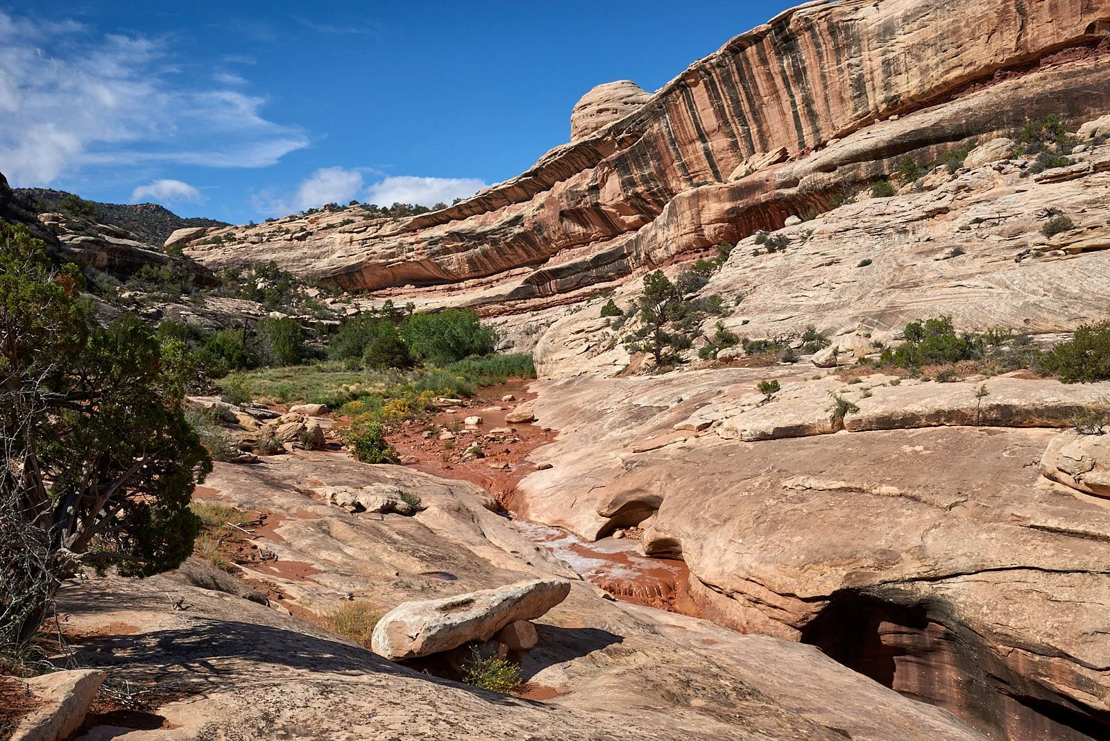
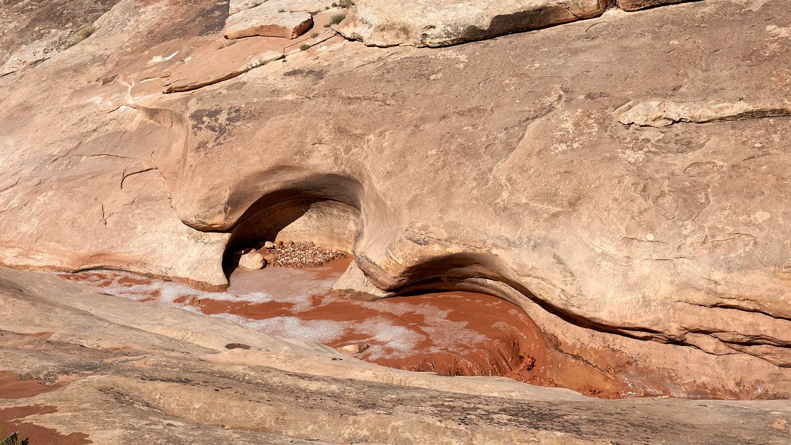
Next day the streams were red and surging.
Gooseneck State Park, Utah
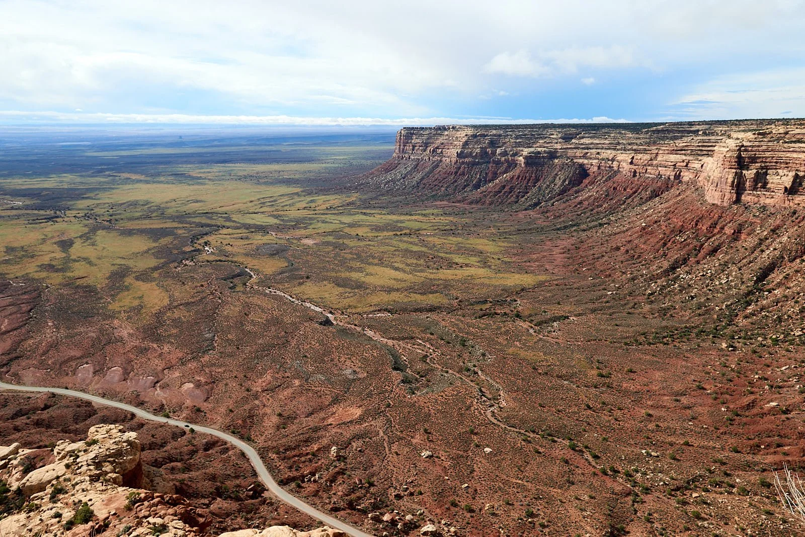
Our next stop on the Colorado Plateau was Gooseneck State Park. To get there we drove south through Bears Ears Monument and descended into Valley Of The Gods via an unpaved 11% grade, switchback road - the Moki Dugway.
Bears Ears National Monument
Escarpment edge
Left: "Moki" is a local term for the Ancestral Puebloan people. "Dugway" is a term used to describe a roadway carved from a hillside. Right: Entering Valley of the Gods.
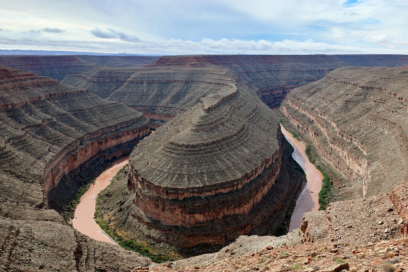
Over several million years, the San Juan River has cut a 1,100 ft gorge into the Colorado Plateau’s sedimentary deposits. It is a 5-mile journey for a raven to fly over the Goosenecks; a fish would have to swim 12 miles.
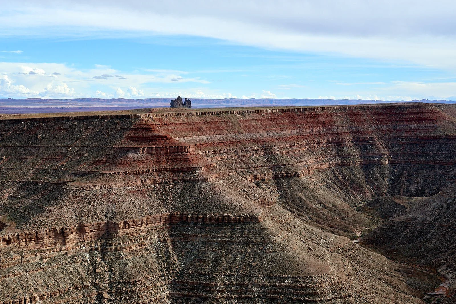
All images: Gooseneck State Park
Red Rock Country
At Mexican Hat the Sportsmobile turned westward. We entered into Arizona, passing Monument Valley, crossing the Colorado River and cruising beneath the Vermillion Cliffs. Then we ascended the Kaibab Plateau, overnighted at Jacob’s Lake and dropped into the Virgin River valley to pass through Zion National Park, Utah. Nevada’s Valley of Fire was our next area of exploration.
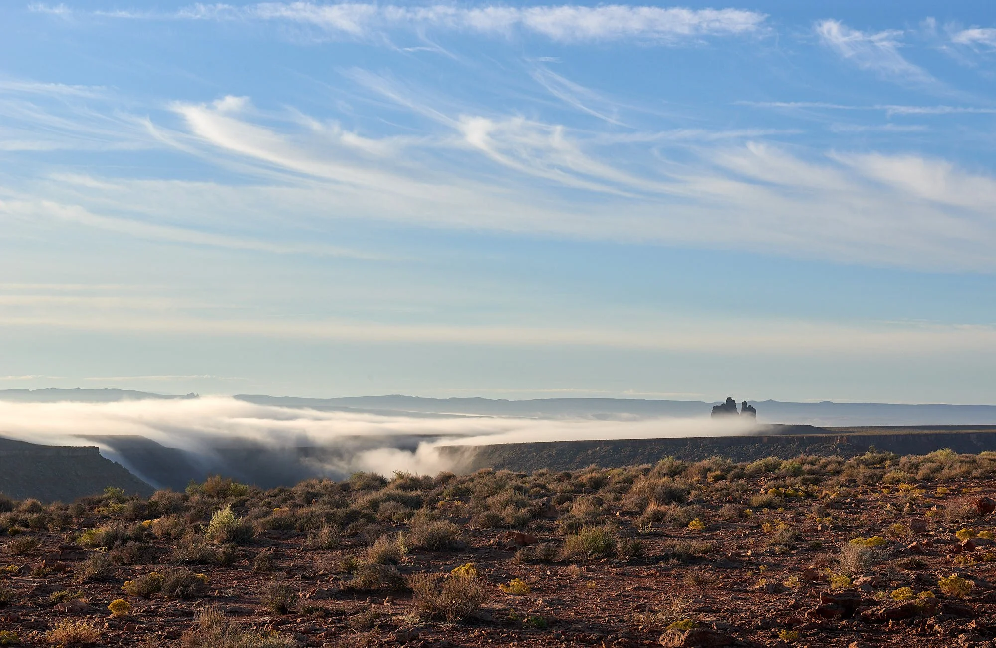
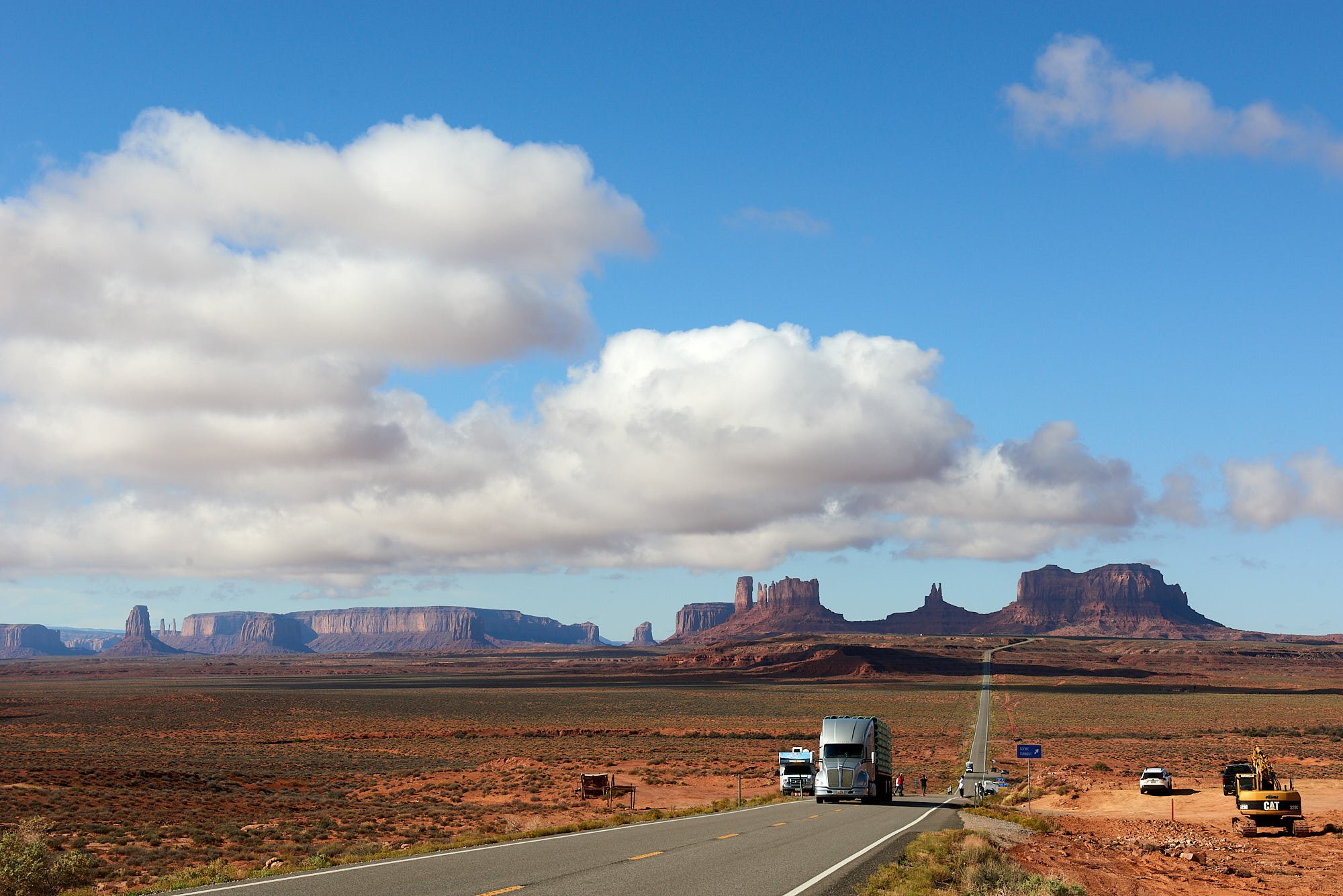
Monument Valley: Mile marker 13 - the spot where Forrest Gump stopped running.
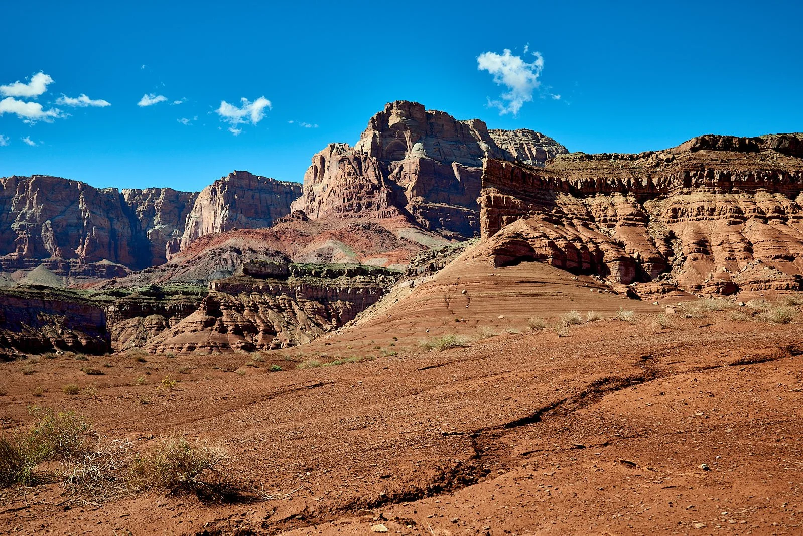
Left: Supporting local Navaho crafts. Middle: Colorado River at Navaho Bridge. Right: Vermillion Cliffs
Valley of Fire, Nevada
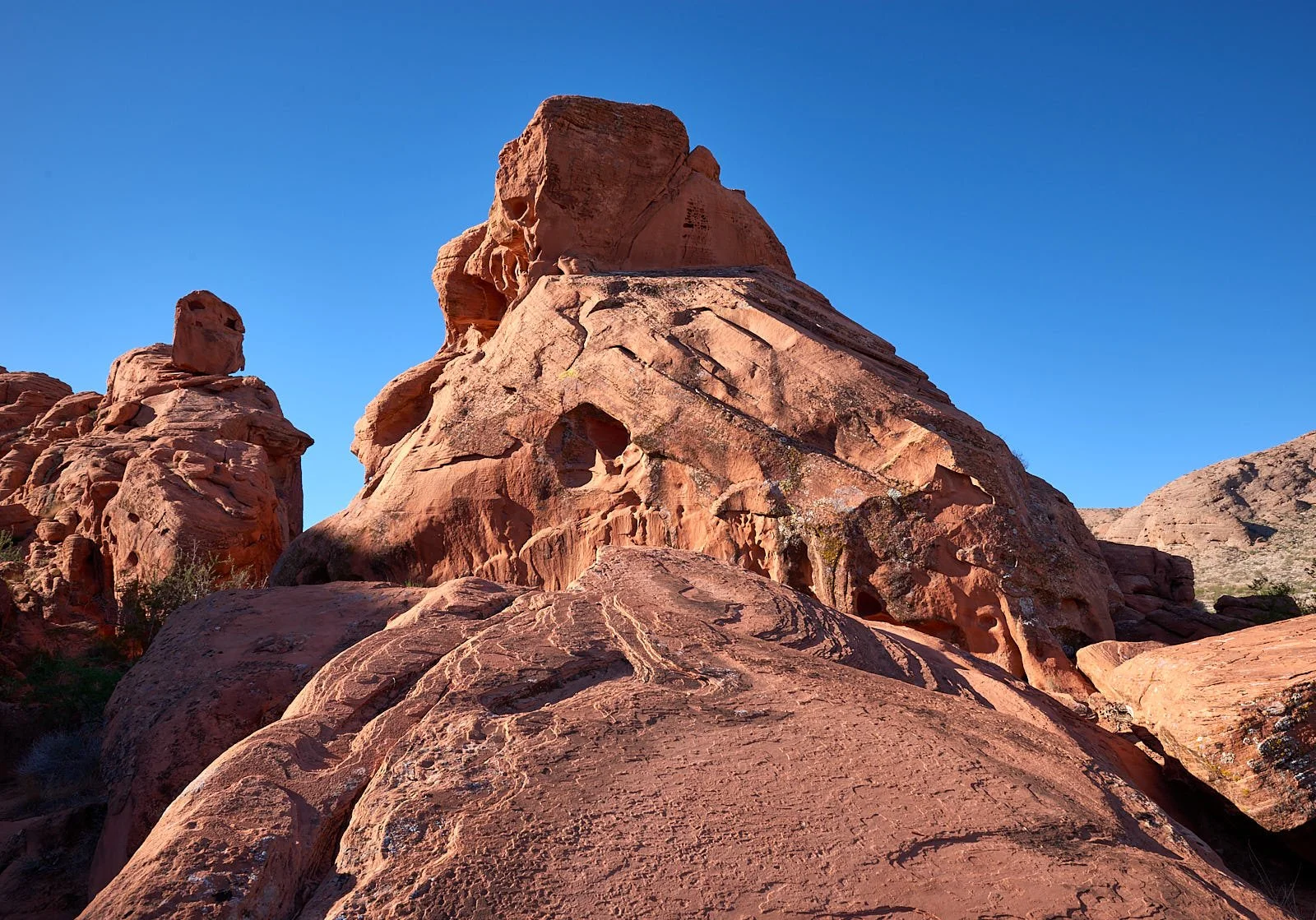
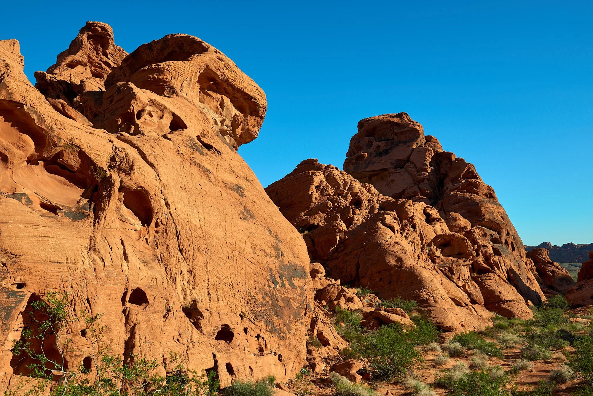
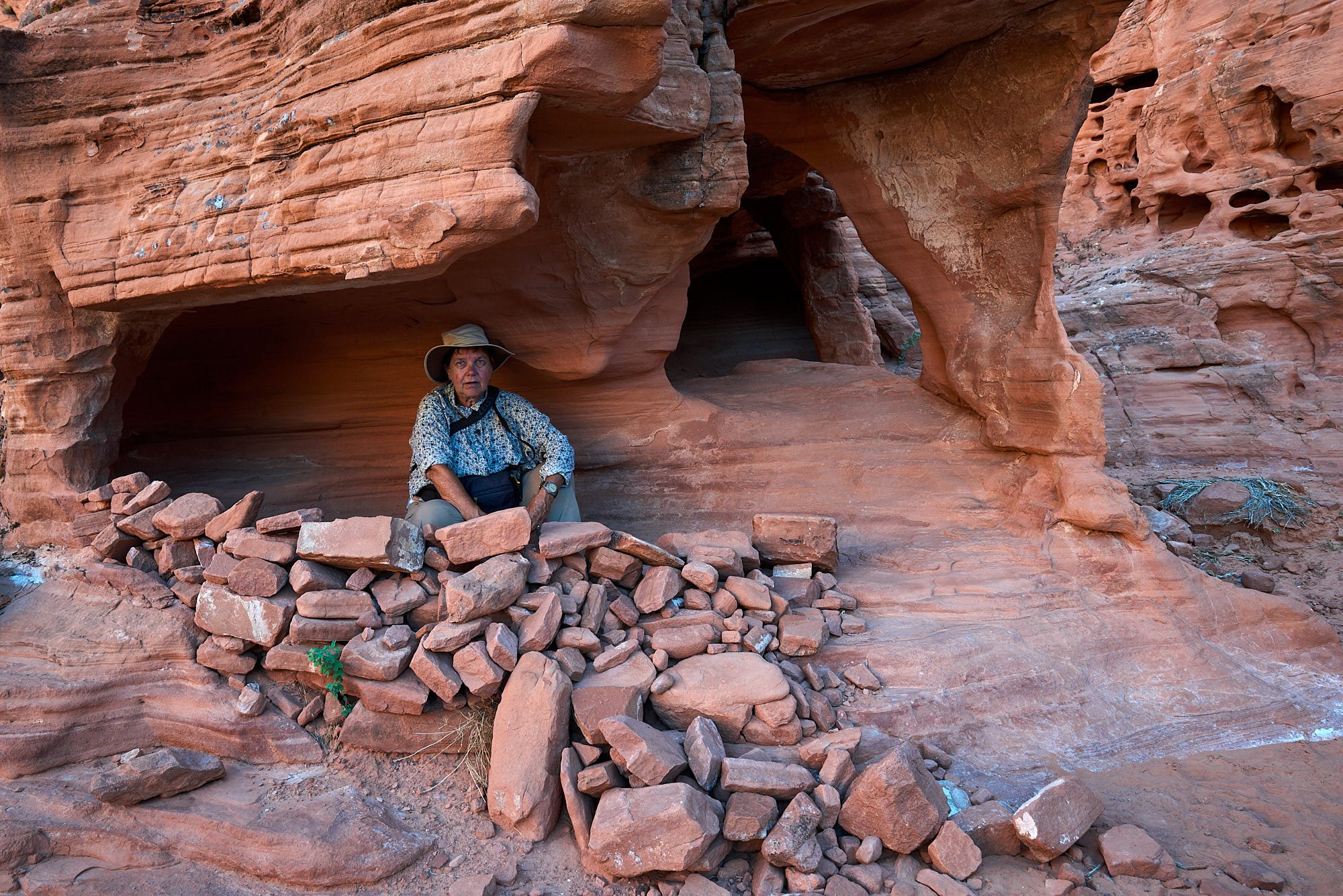
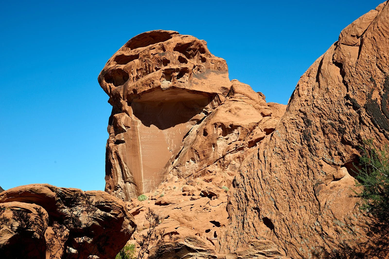
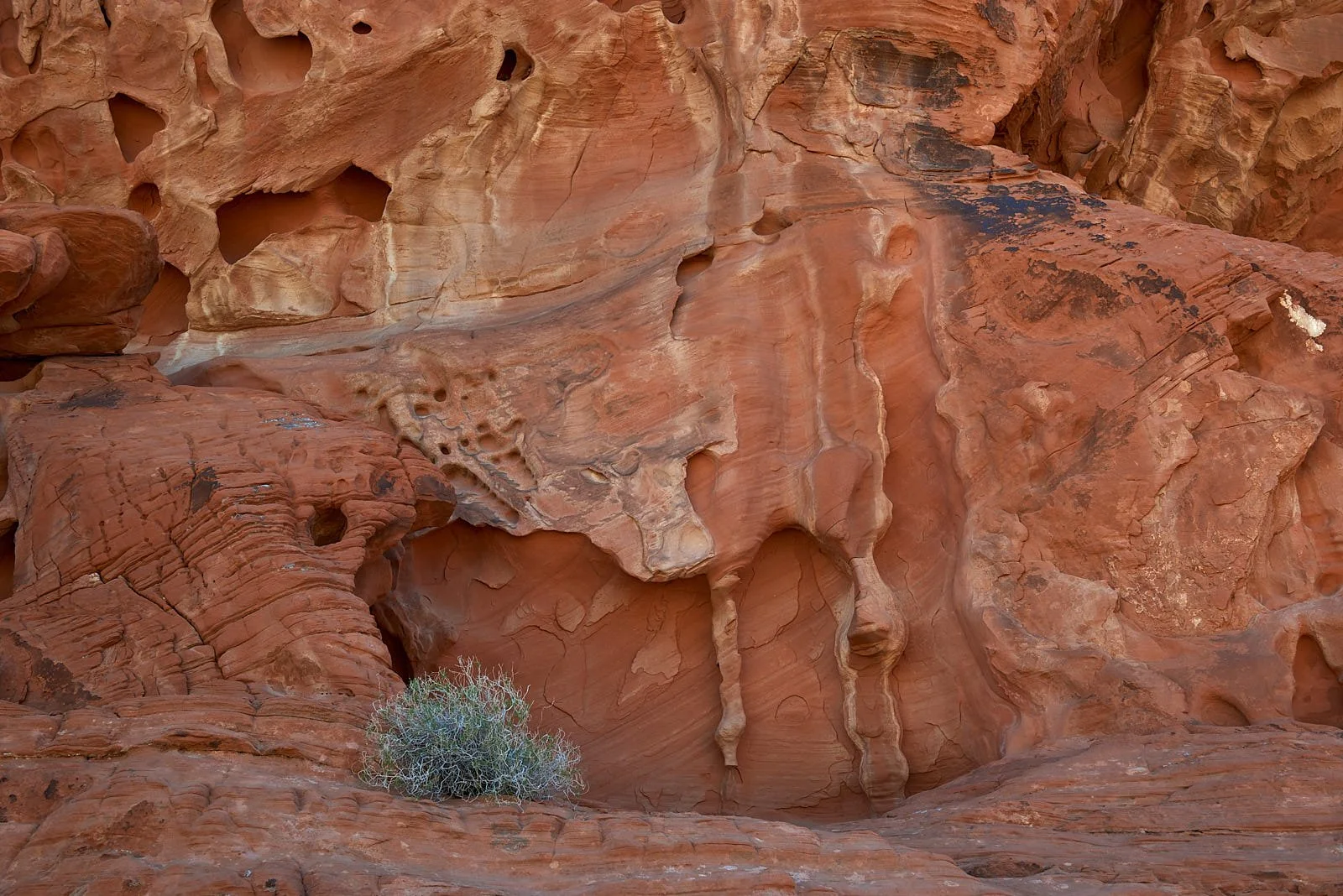
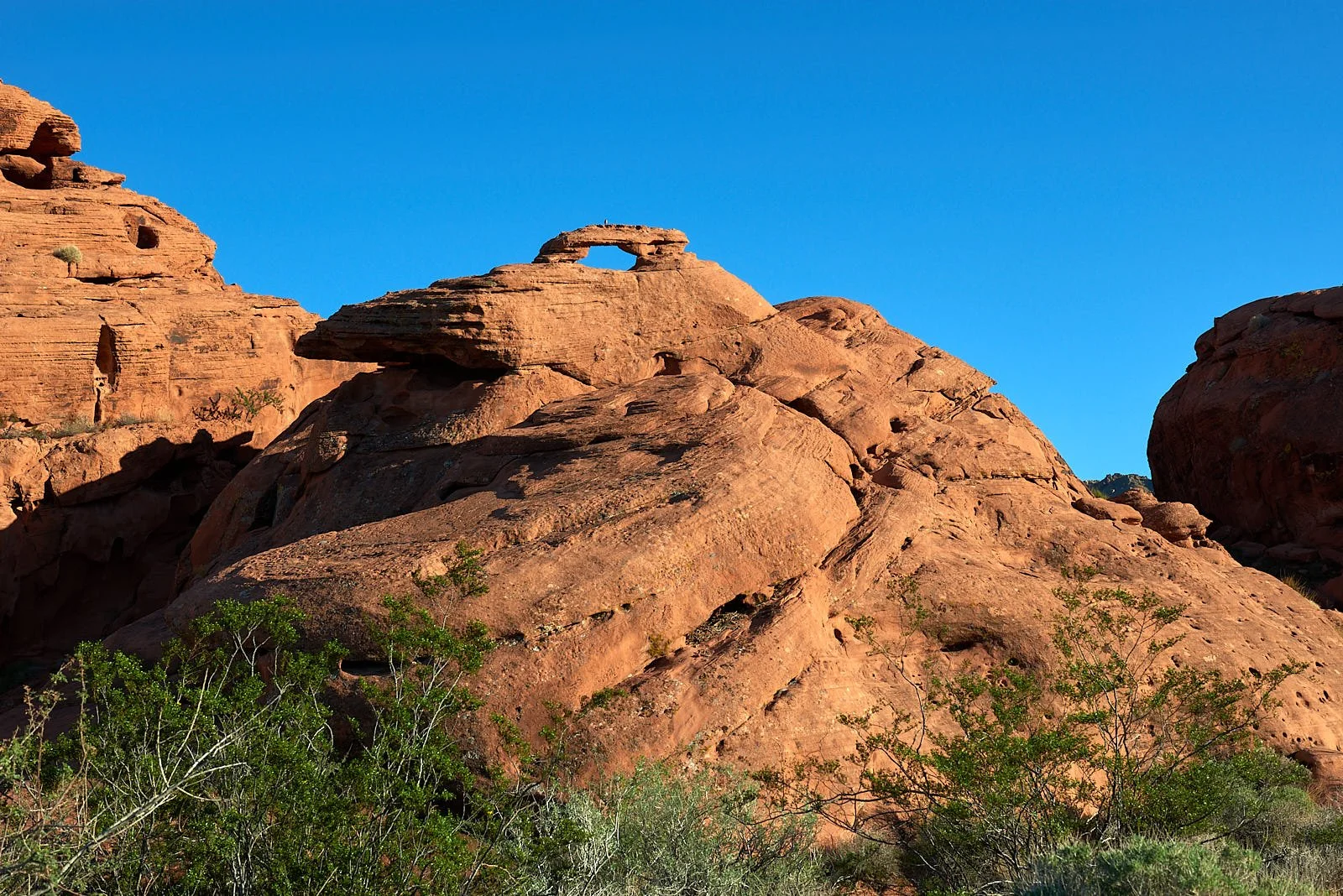
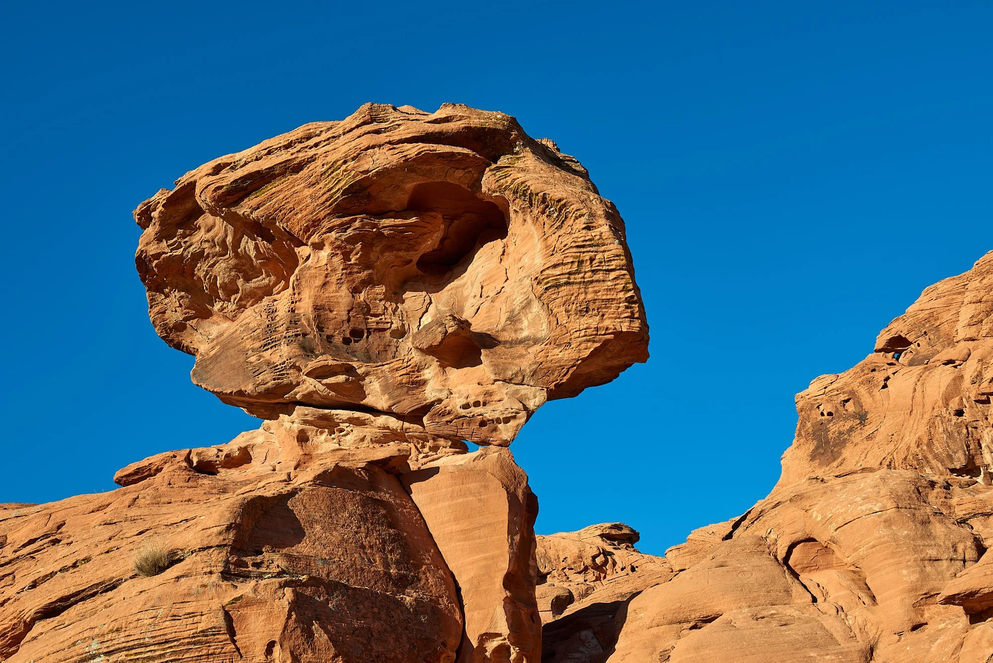
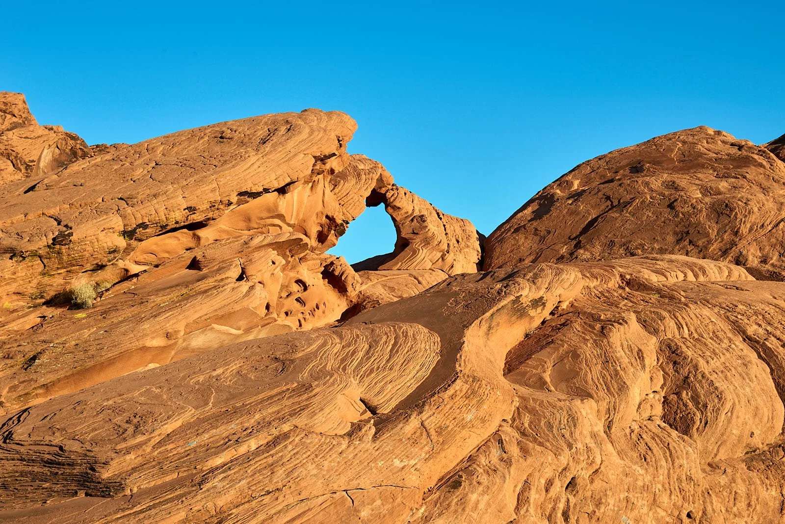
The Park opened on Easter Sunday 1934 and is Nevada’s first State Park.
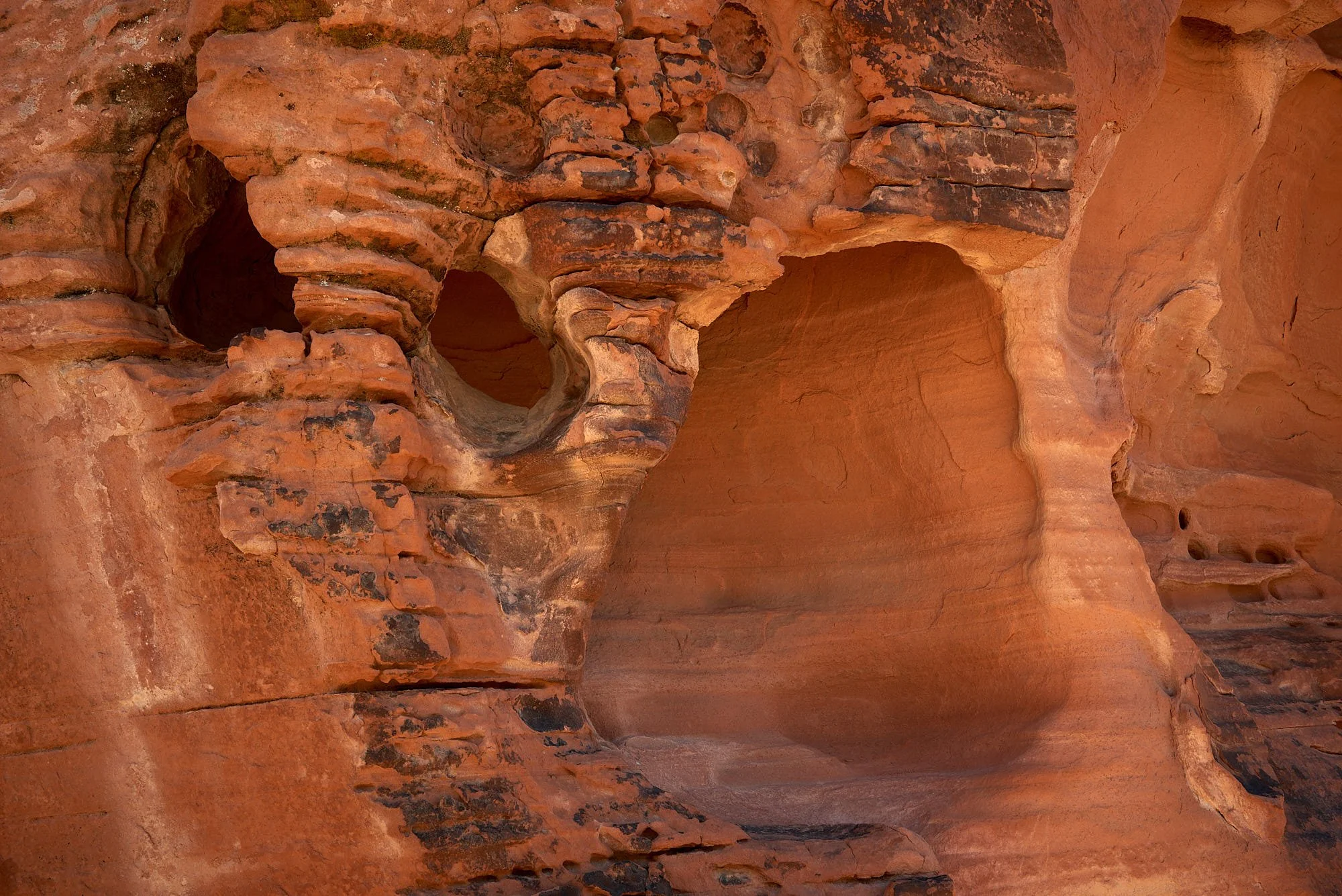
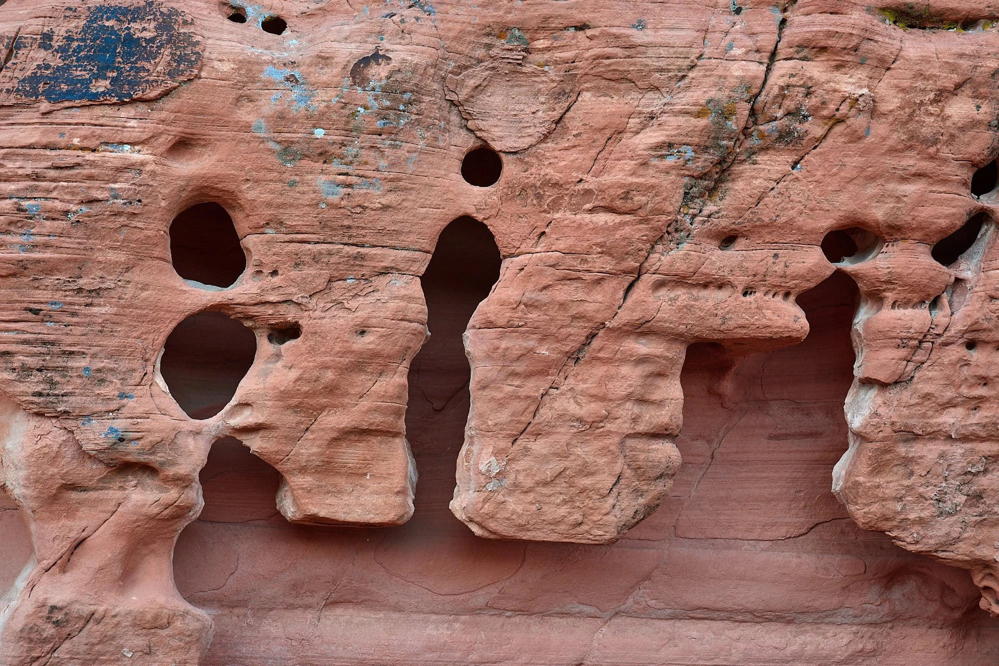
Valley of Fire contains red Aztec sandstone outcrops among brown limestone ridges. The sandstone is derived from Jurassic sand dunes and the limestone from a period when a sea covered the region. Ancestral Puebloans occupied the area from 500 - 1150 CE. Later, the Southern Paiute arrived.
Trip Reflections
It was lovely to connect with Mary, John, Rachel, Stu, Betty and Terry.
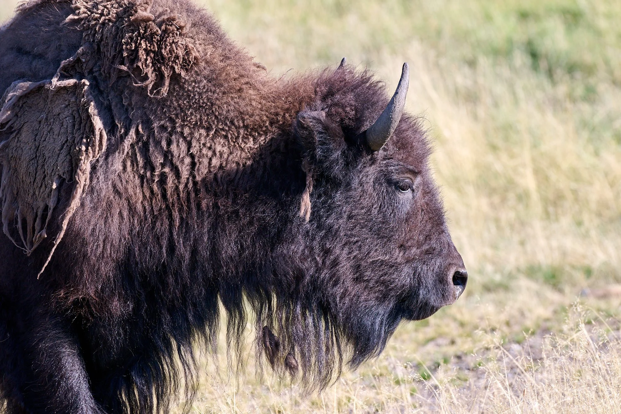
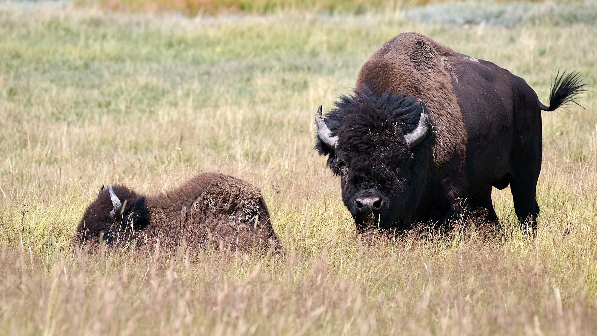
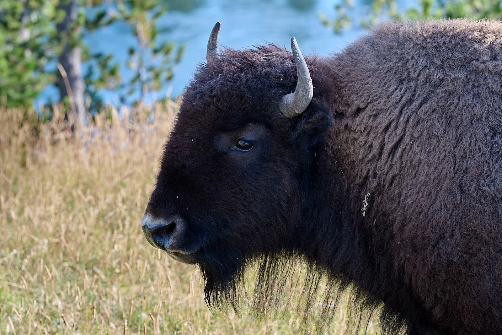
Another great trip, full of new discoveries for us. Trevlyn enjoyed seeing the broad sweep of Western landscapes and I was happy just quietly watching bison.
When things turned bad, the Ancestral Pueblo moved on to new lands. Modern humans may not have that luxury with global warming. We have to change our behavior. Part of the solution probably lies in understanding human culture and redirecting priorities.
