Chasing the Southwest Monsoon: September & October, 2023
Section #2: Hot and thirsty.
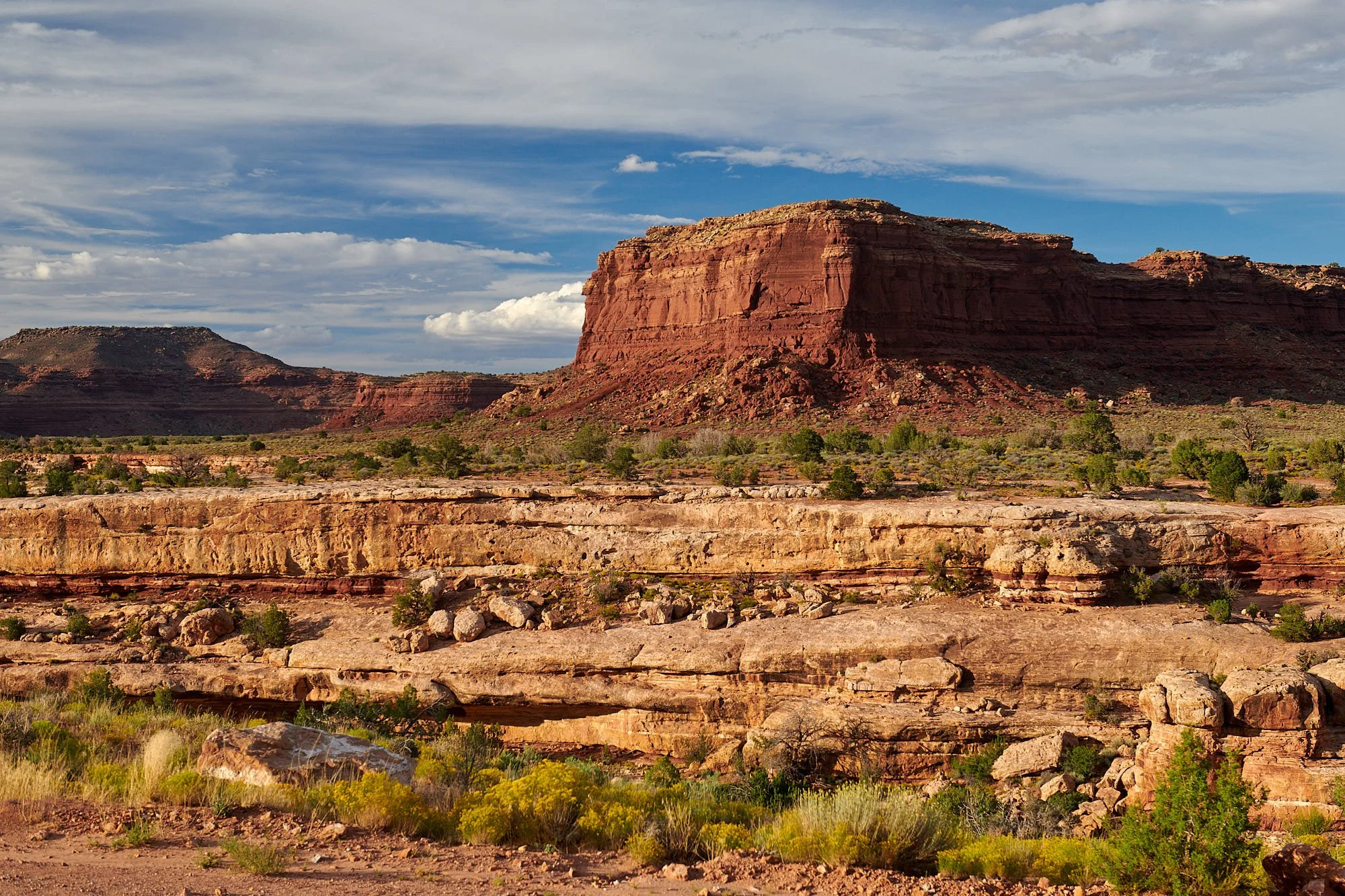
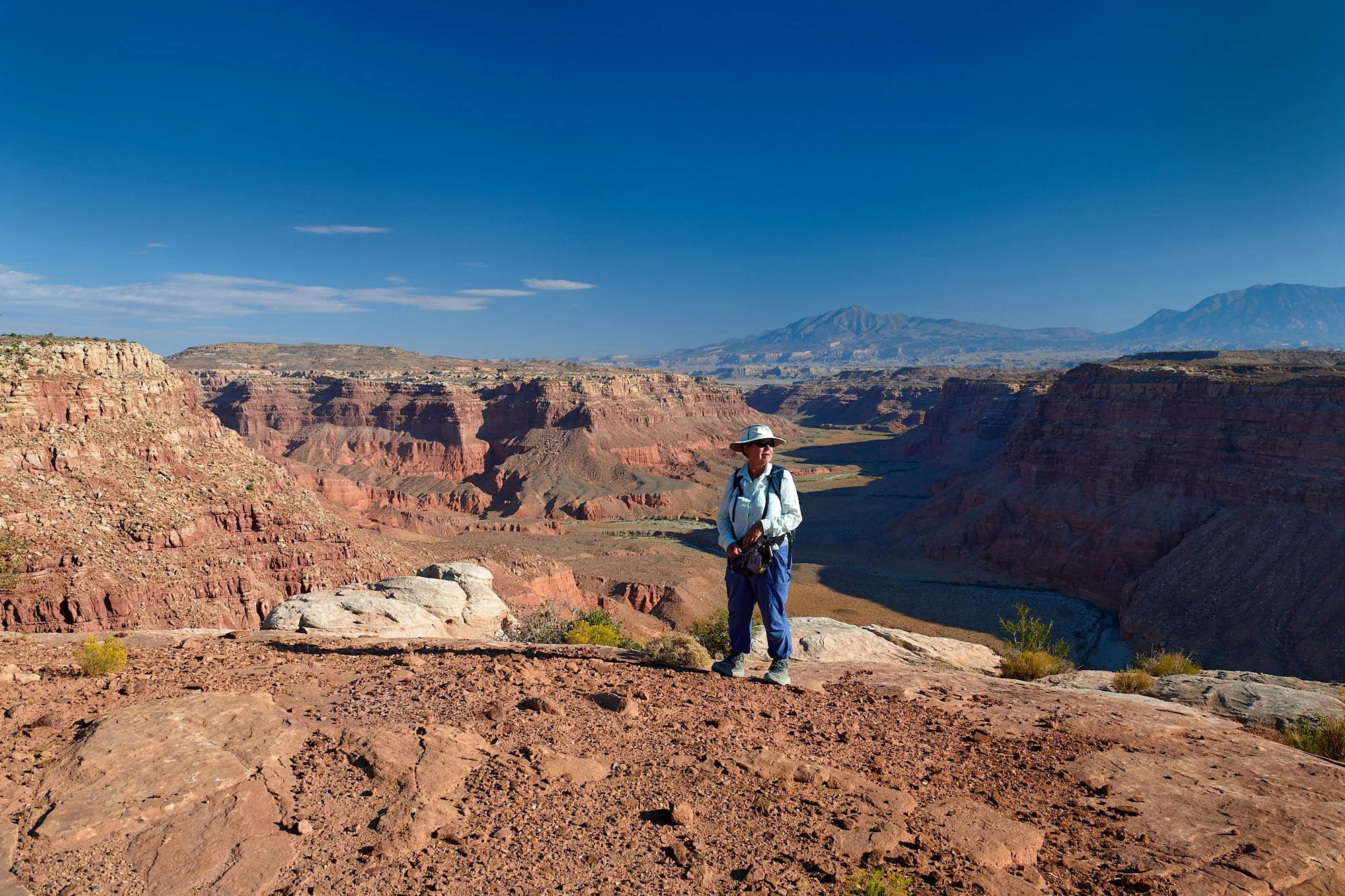
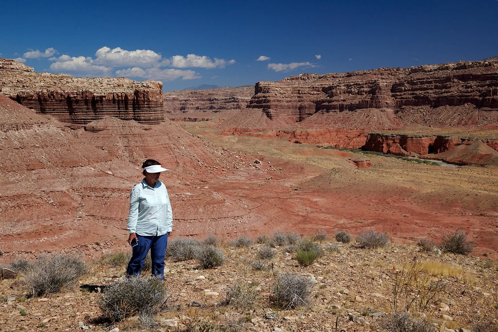
Grand Staircase-Escalante National Monument, Utah.
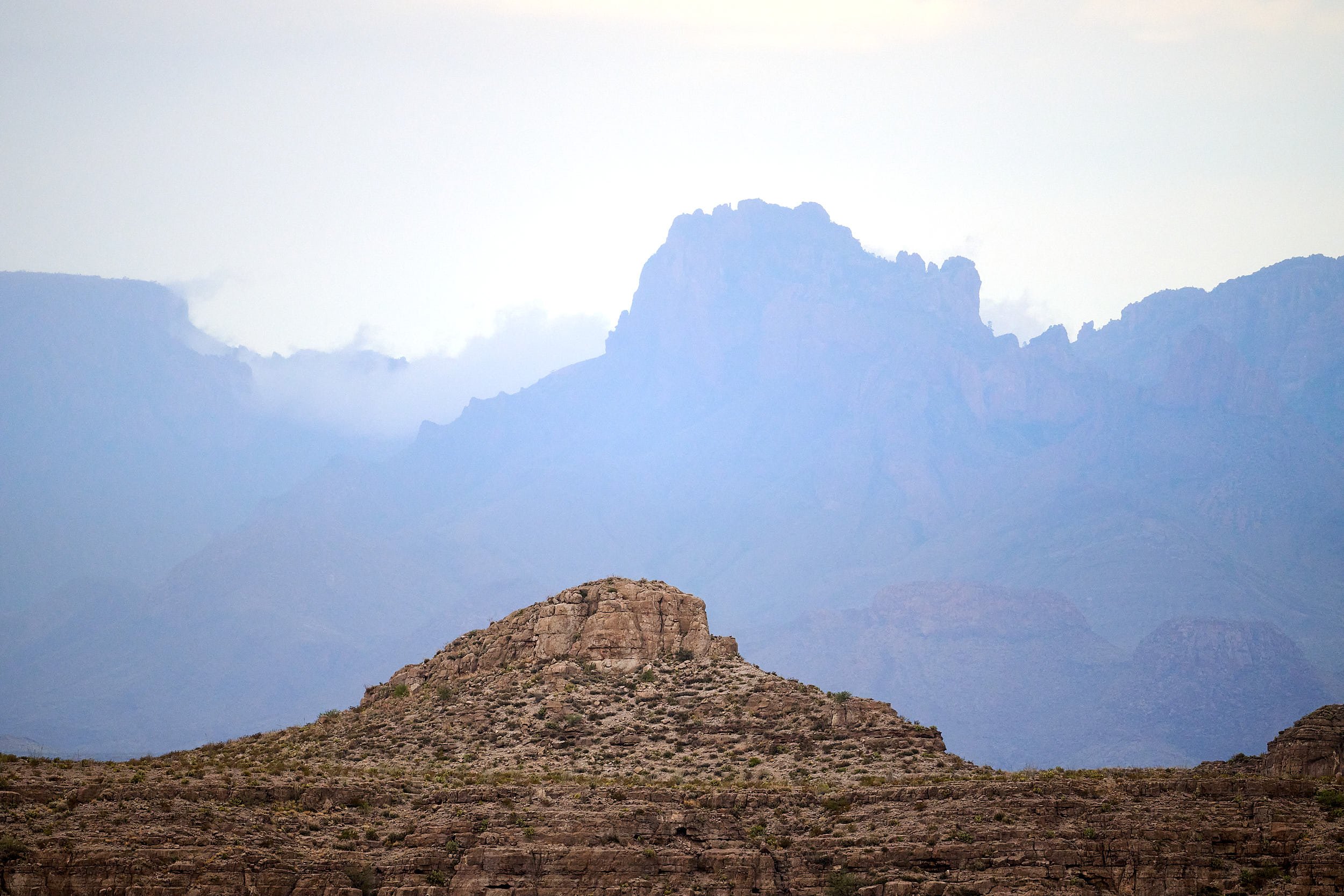
Chisos range, Big Bend, Texas.

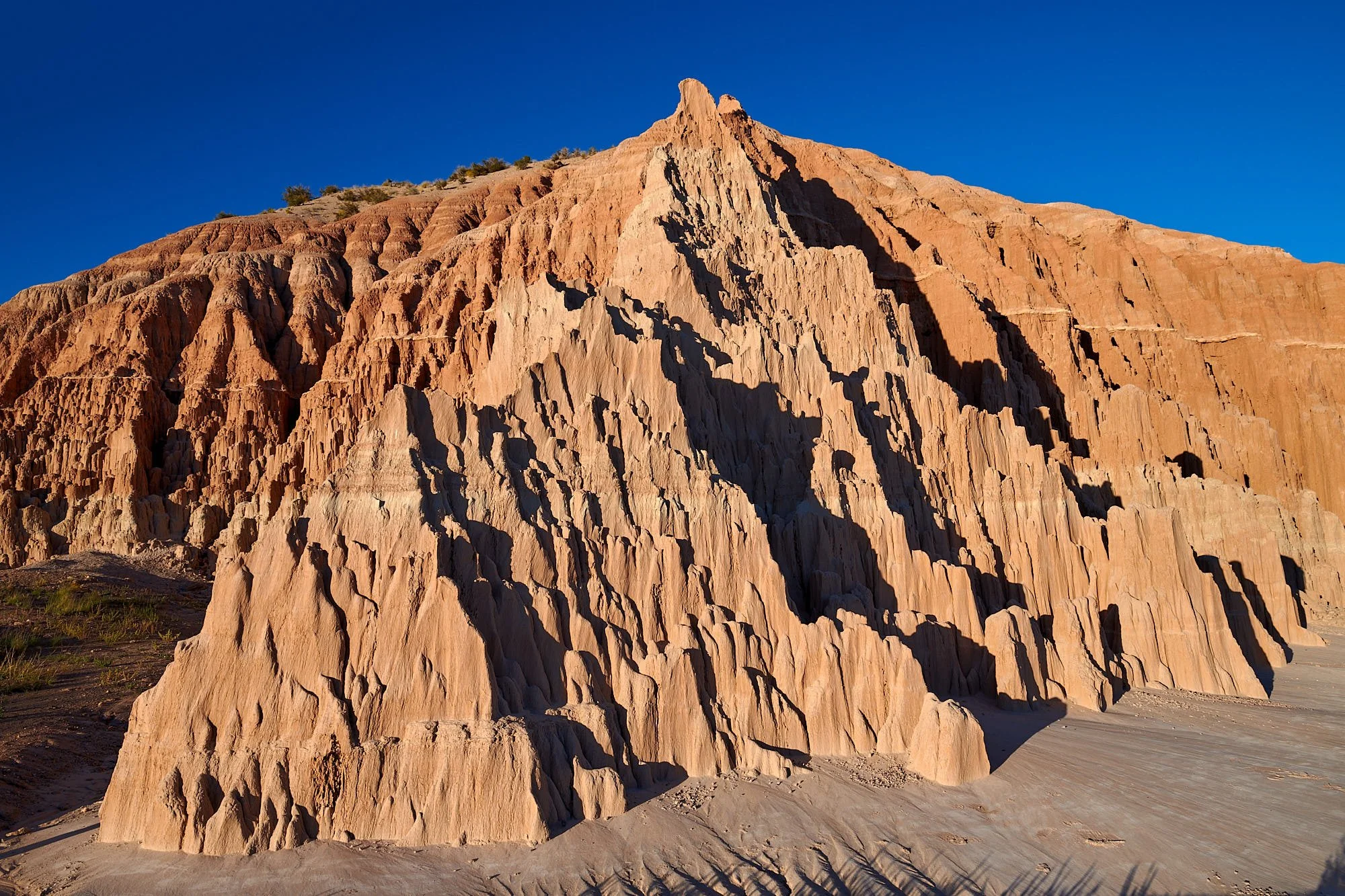
Cathedral Gorge, Nevada.
“Without a societal commitment to live within the limits of finite resources, in an environment where climate speaks last and loudest, the ultimate train wreck, the final reckoning with aridity, becomes a certainty.”
William deBuys.
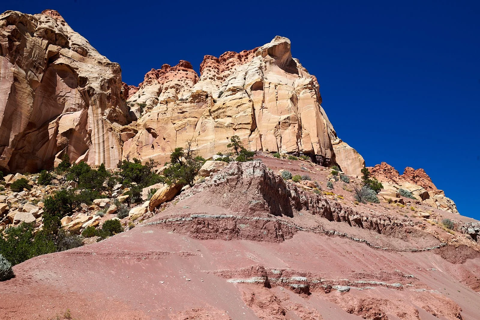
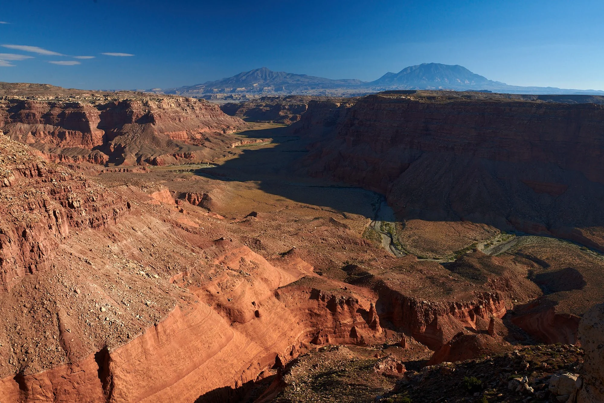
Waterpocket Fold, Capitol Reef, Utah
Bullfrog Creek, Utah.
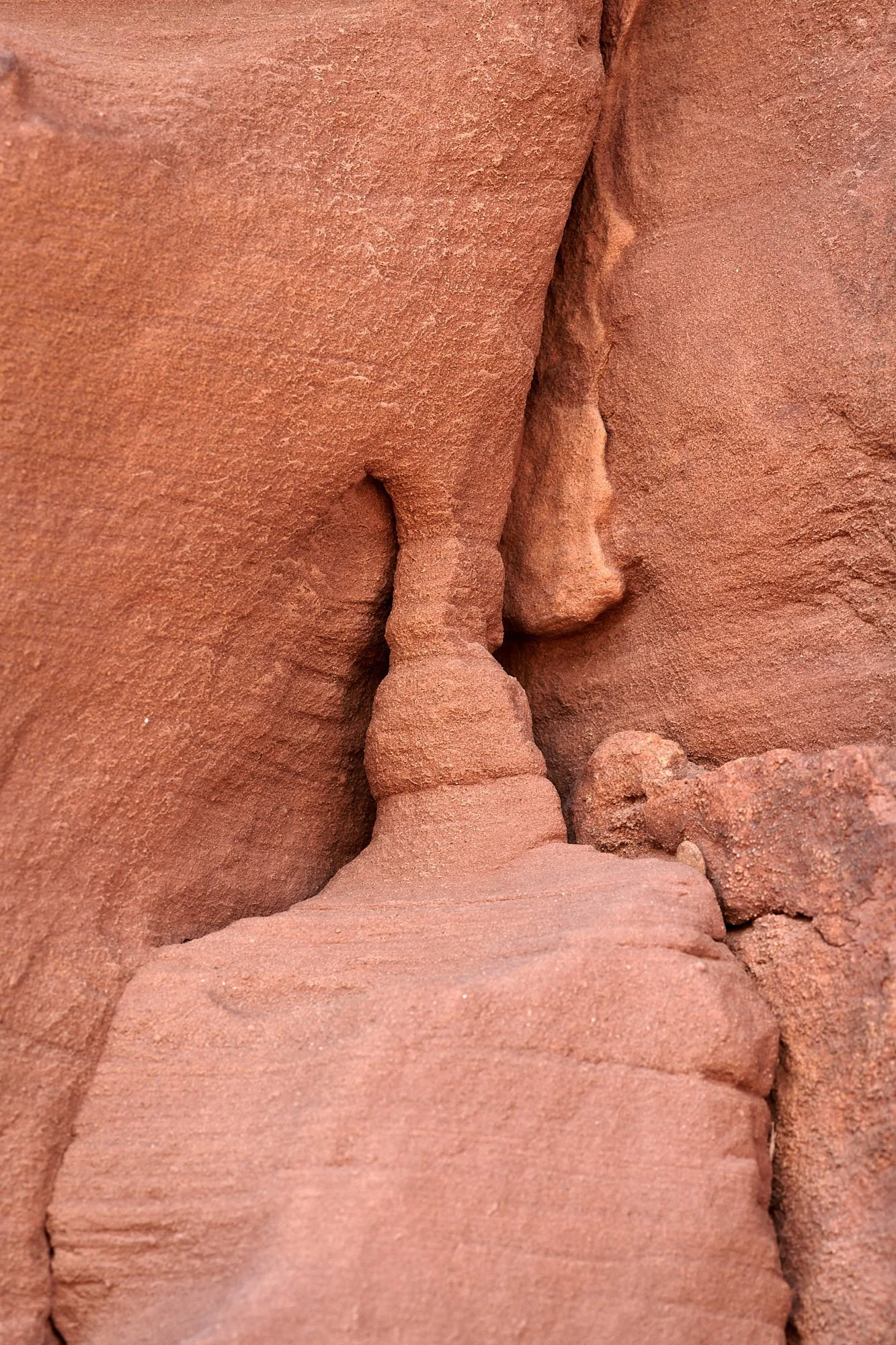
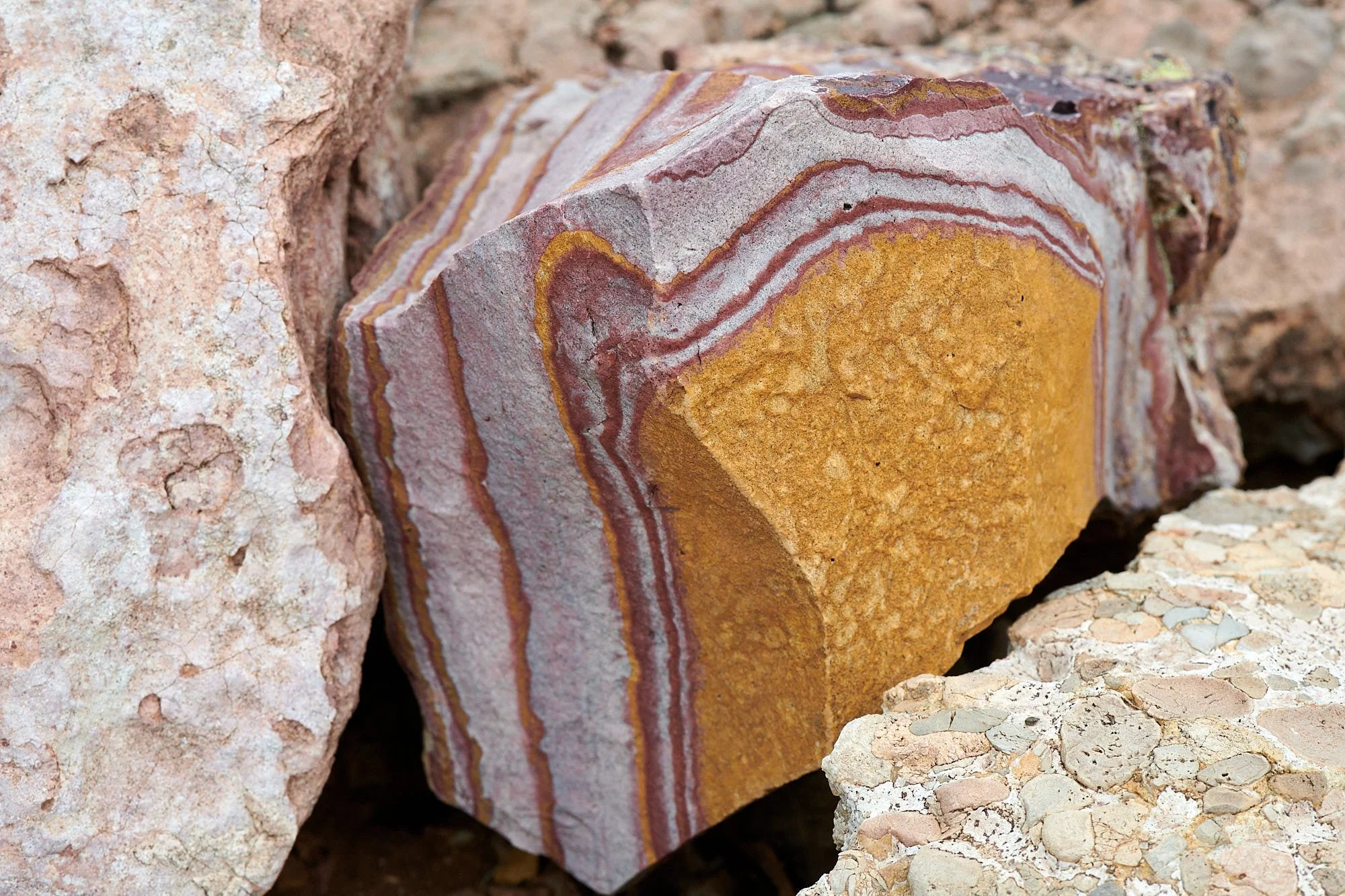
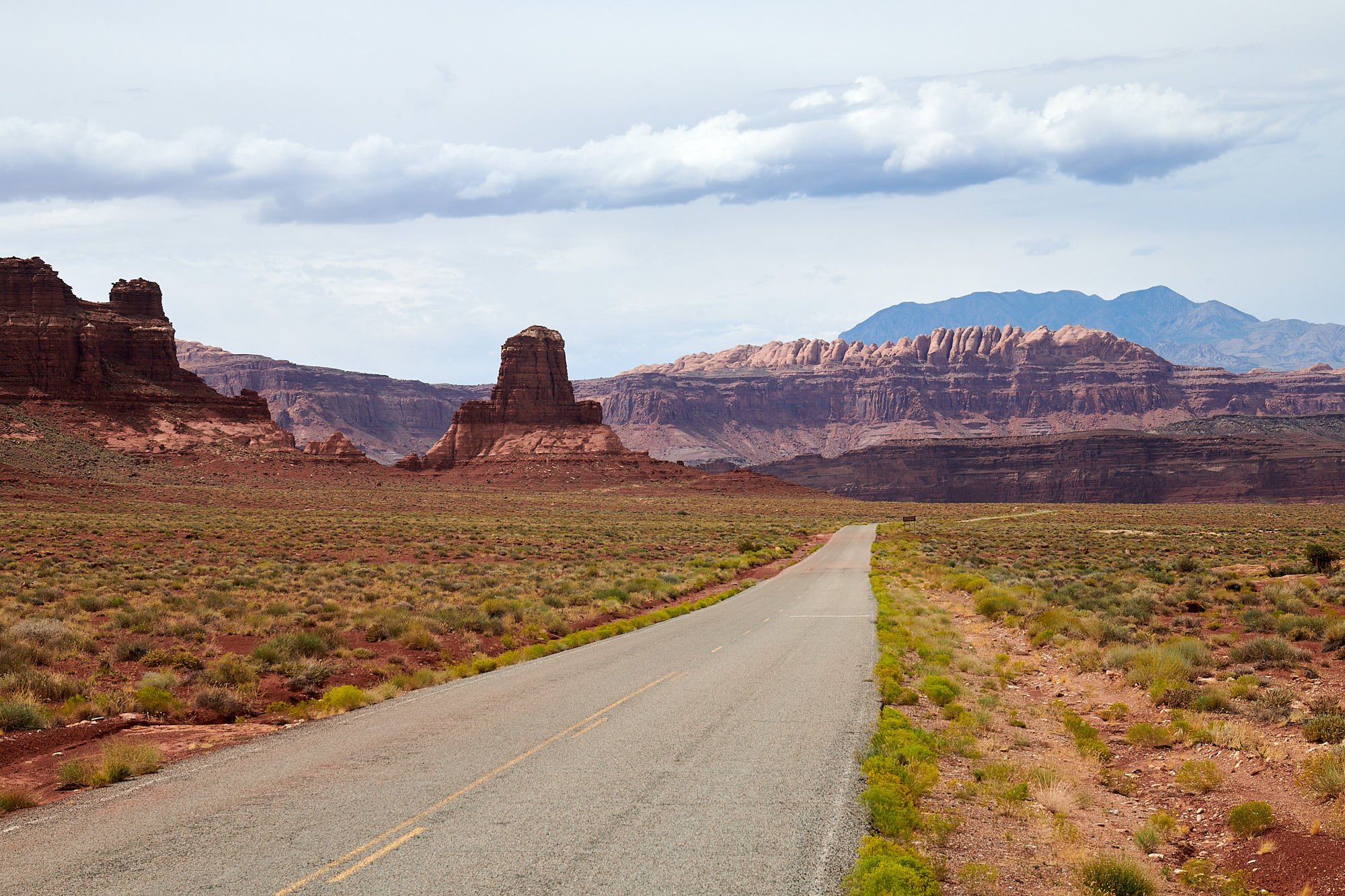
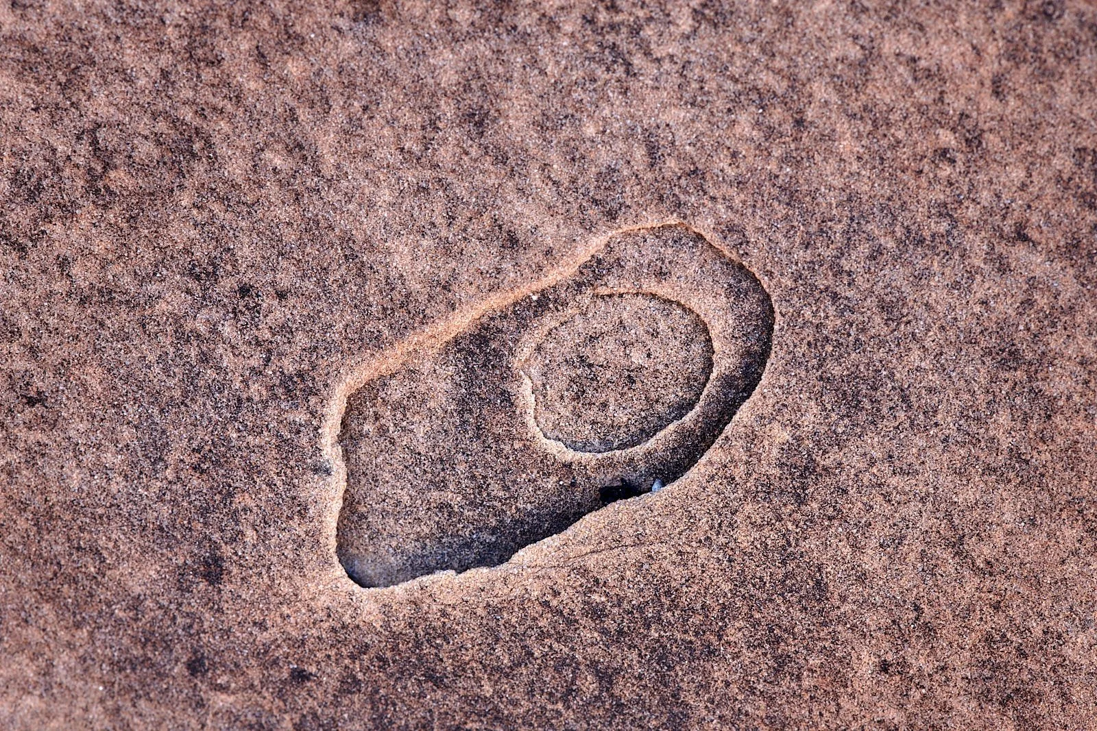
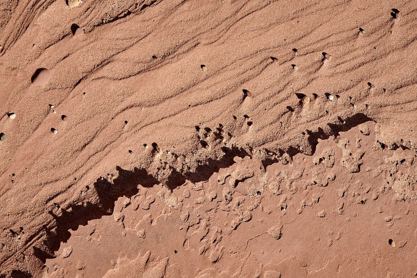
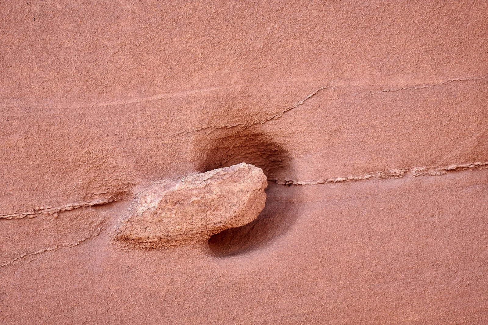
Sandstone Monuments
After Irish Mountain, we visited Cathedral Gorge in Eastern Nevada and then entered Utah and ascended on to the Colorado Plateau. Avoiding busy Bryce Canyon, we headed southeast via Grand Staircase-Escalante National Monument into Capitol Reef National Park and followed the Burr Trail to Lake Powell. This is sandstone country, deeply carved by the Colorado River and its tributaries. Moving on from Lake Powell, we travelled along picturesque highway 95 (Bicentennial Scenic Byway), crossed the Colorado and spent a few days by the White Canyon near Jacob’s Chair before pushing on to Mesa Verde in Colorado.
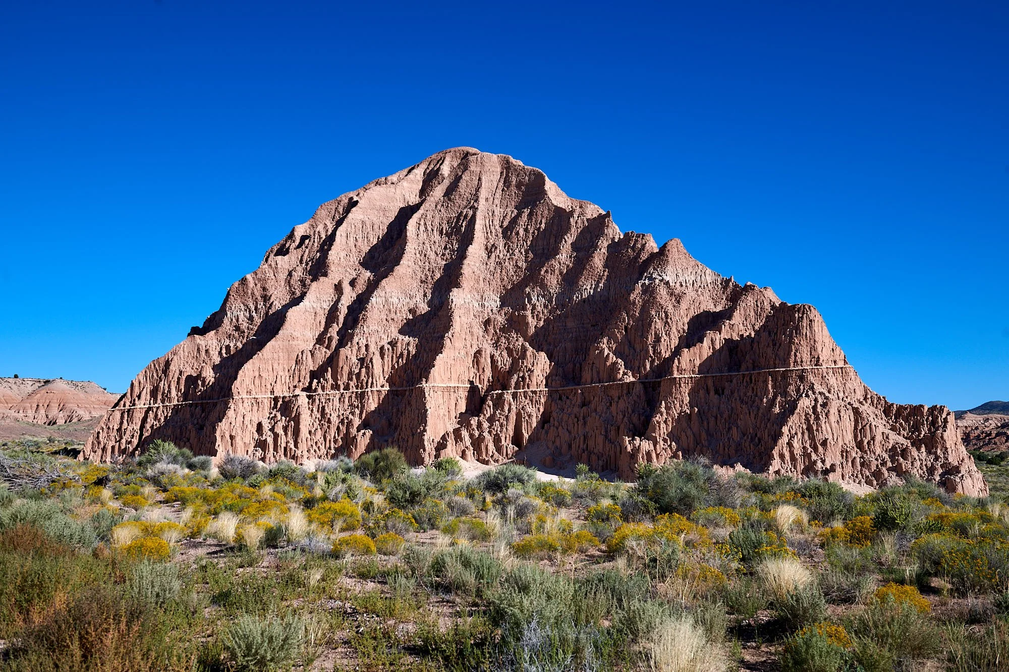
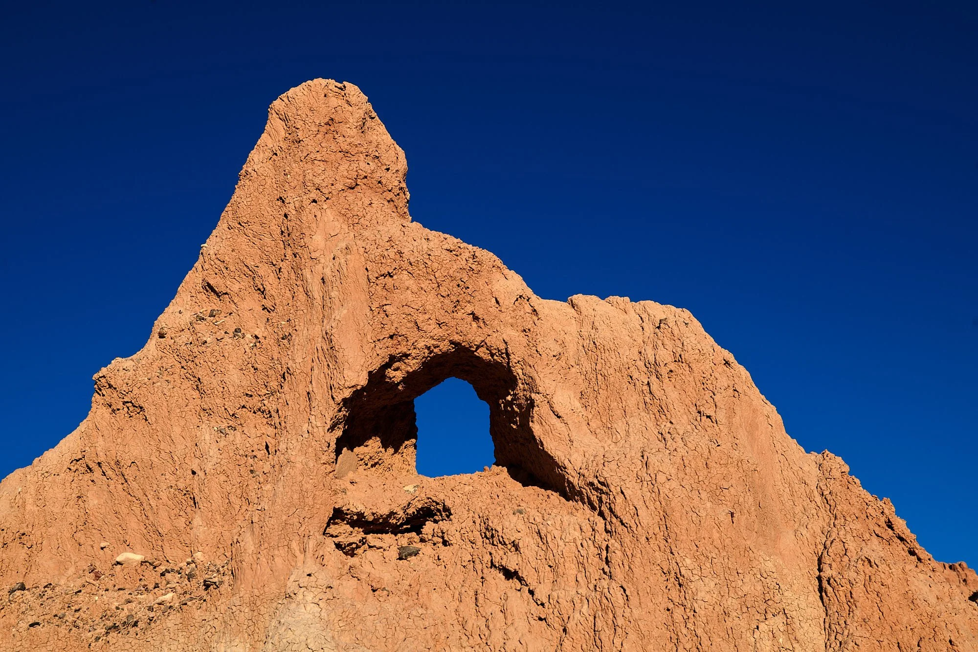
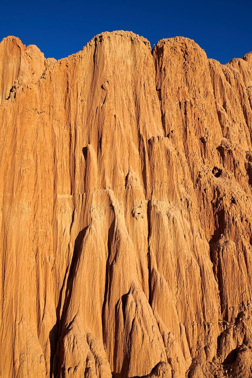
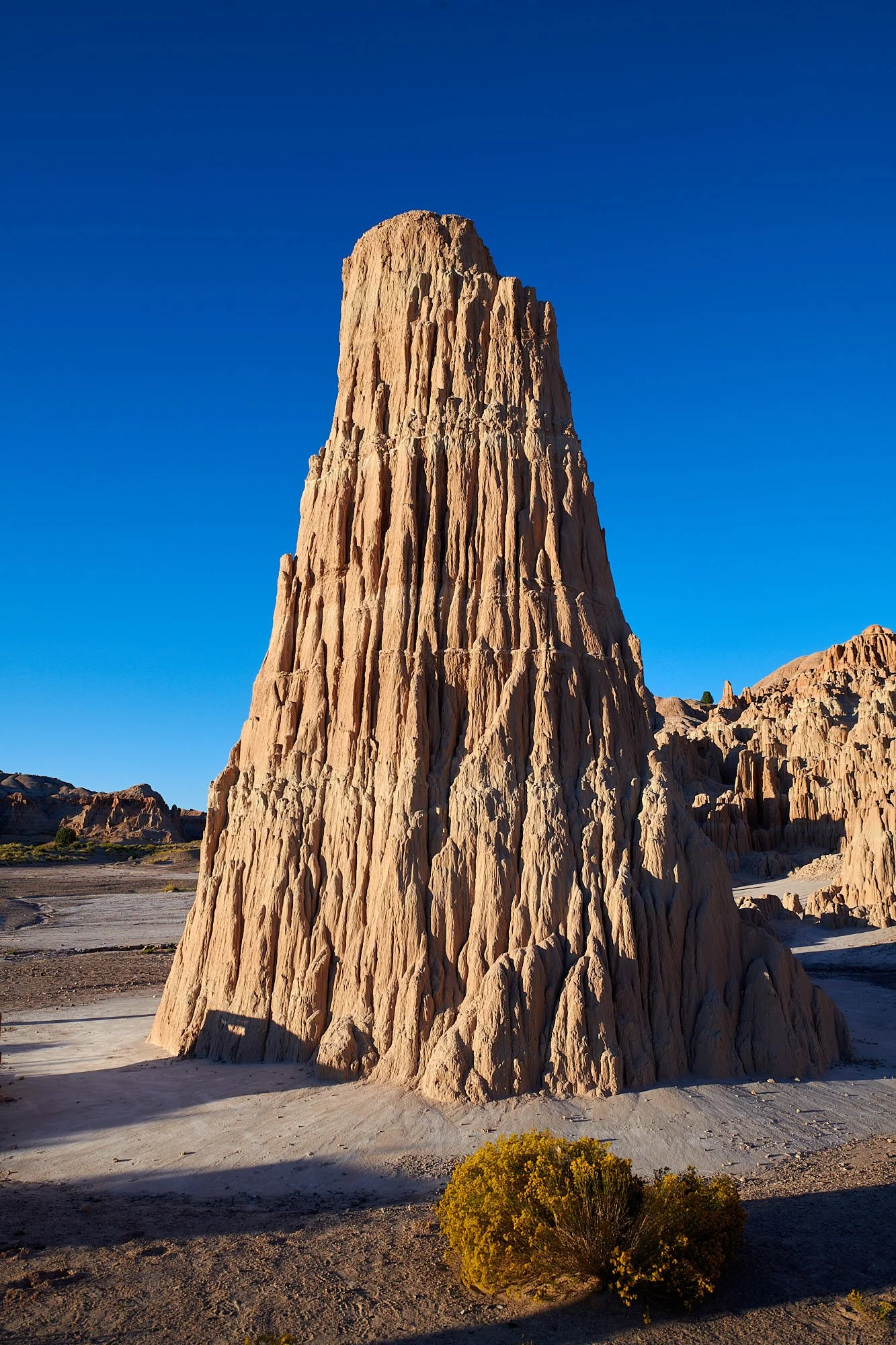
Cathedral Gorge, Nevada
Cathedral Gorge
Cathedral Gorge State Park was established in 1935 to preserve the intricate network of gullies, crevices, spires and mounds resulting from the erosion of soft lake sediments known as the Panaca Formation. These fossil-rich sediments accumulated 5-2 million years ago in a large freshwater lake.
Rivers draining into the lake carried substantial amounts of clay derived from the weathering of older Miocene tuffs from the Caliente Caldera Complex which erupted 18-23 million years ago. The clay minerals in the sediments swell as they absorb water and shrink when they dry out, preventing the sediment from hardening into a cohesive rock.
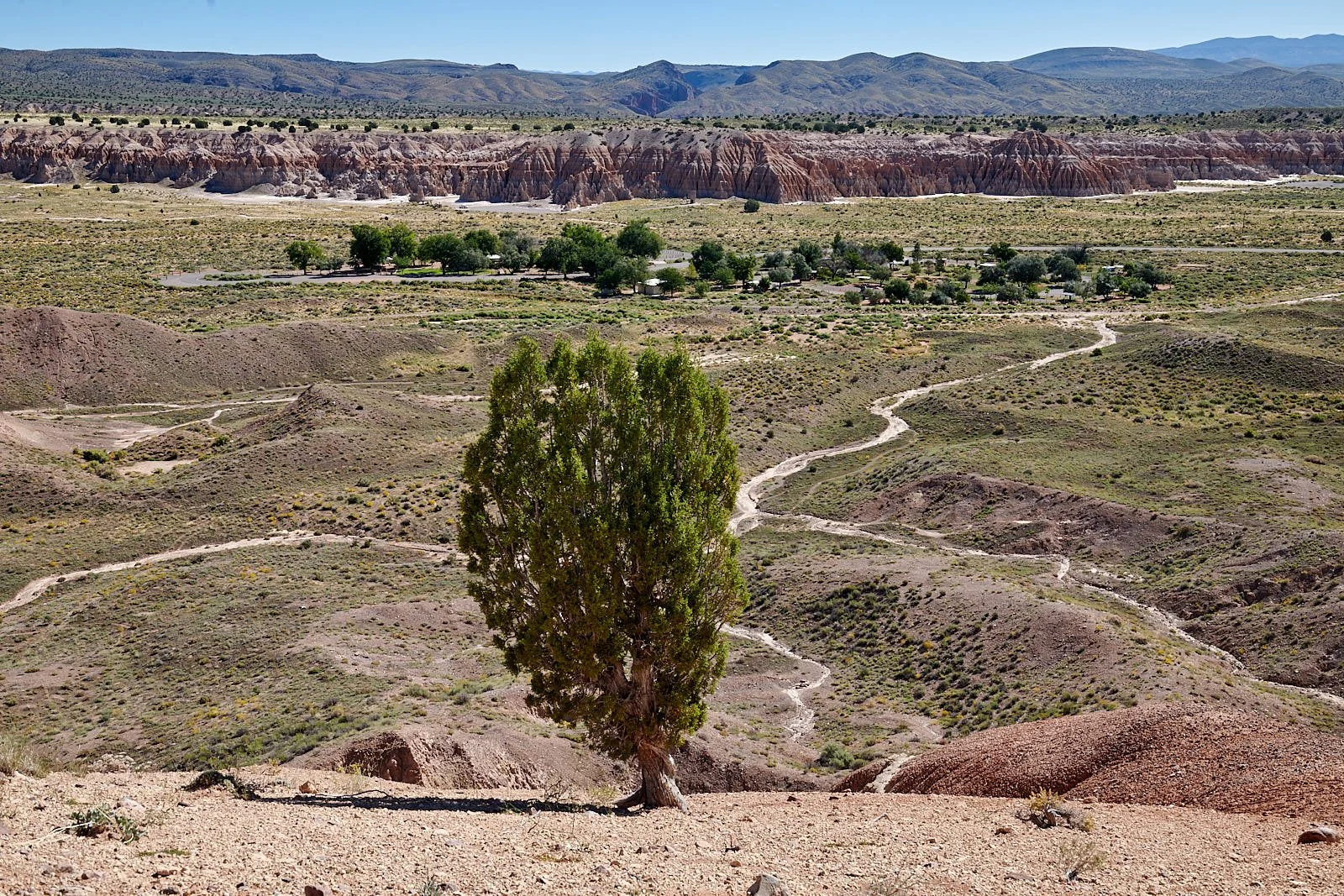
Looking down on Cathedral Gorge State Park campground from the rim of the ancient lake.
The Burr Trail
John Atlantic Burr was born in 1846, during his family’s journey from New York to San Francisco on the SS Brooklyn while sailing across the Atlantic Ocean. Once they arrived, Charles and Sarah Burr then set out to Salt Lake City with their new baby. As part of the early Mormon pioneers, the Burr family eventually moved south in 1876 and founded the town of Burrville, Utah.
John Burr grew up to be a cattle rancher in the rugged backcountry of Utah. Living in such a desolate area, he needed to develop a route to move his cattle between winter and summer ranges, as well as to market. This cattle trail through the rough, nearly impassible country around the Waterpocket Fold, Burr Canyon, and Muley Twist Canyon came to be known as the Burr Trail.
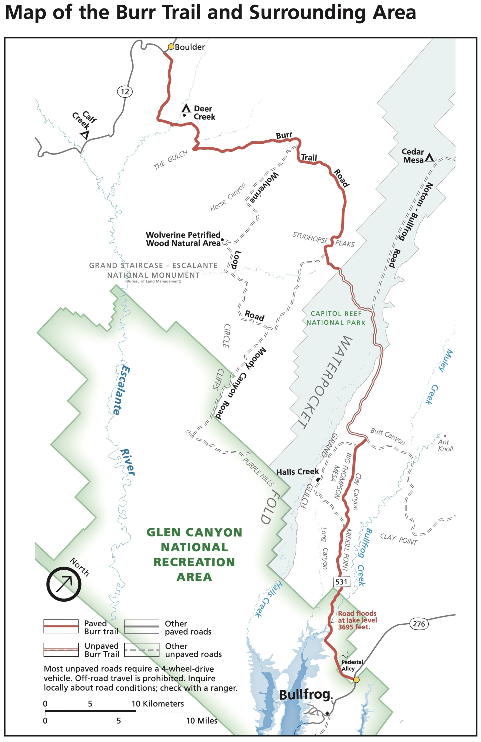
Text and map from https://www.nps.gov/glca/planyourvisit/upload/BurrTrailDrivingGuide2019_508.pdf.
Top row, Left: Remote camp alongside Bullfrog Creek, Utah. Right: Bullfrog Creek canyon.
Bottom row: Early morning light reaches Bullfrog Creek canyon.
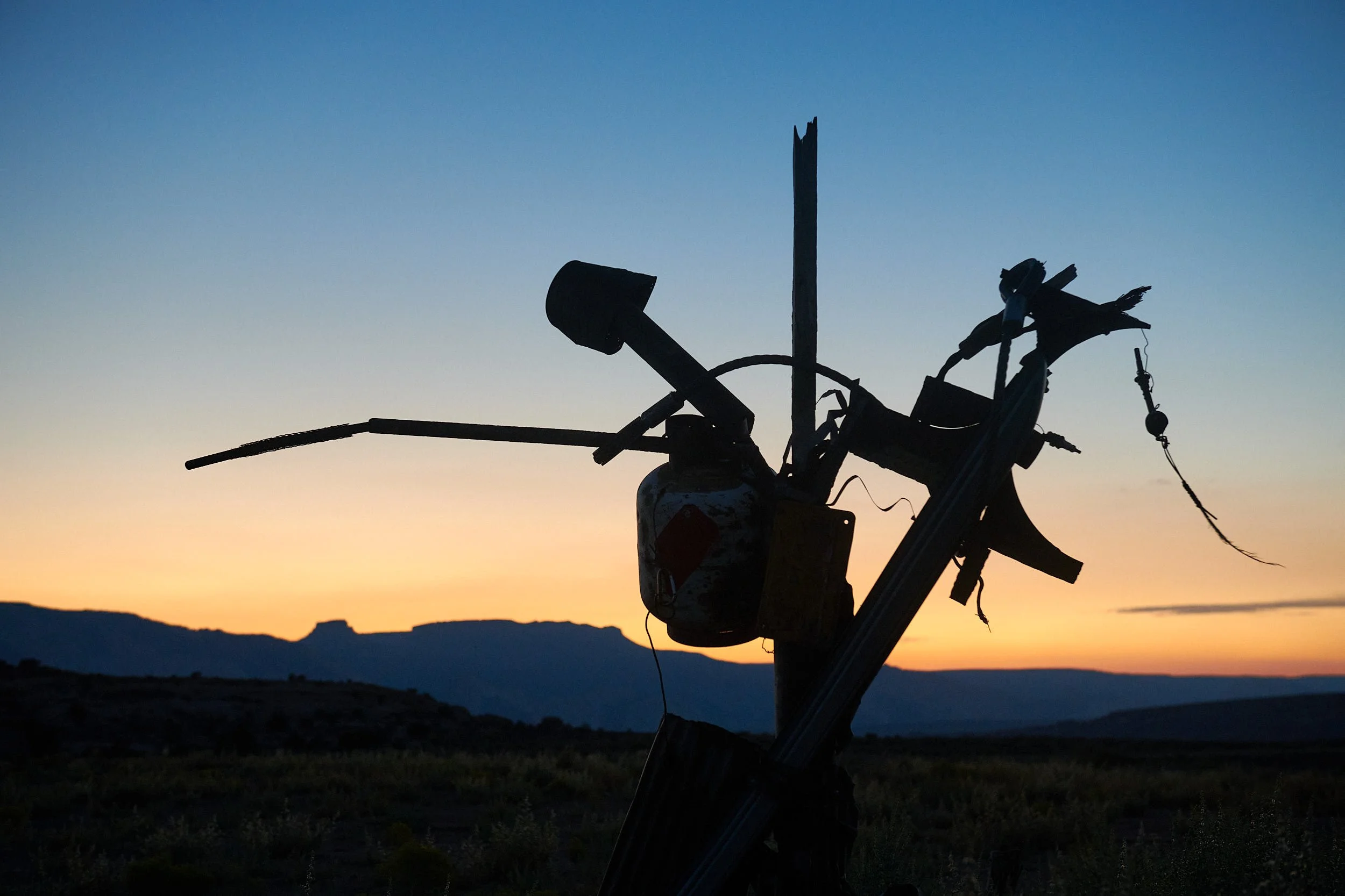
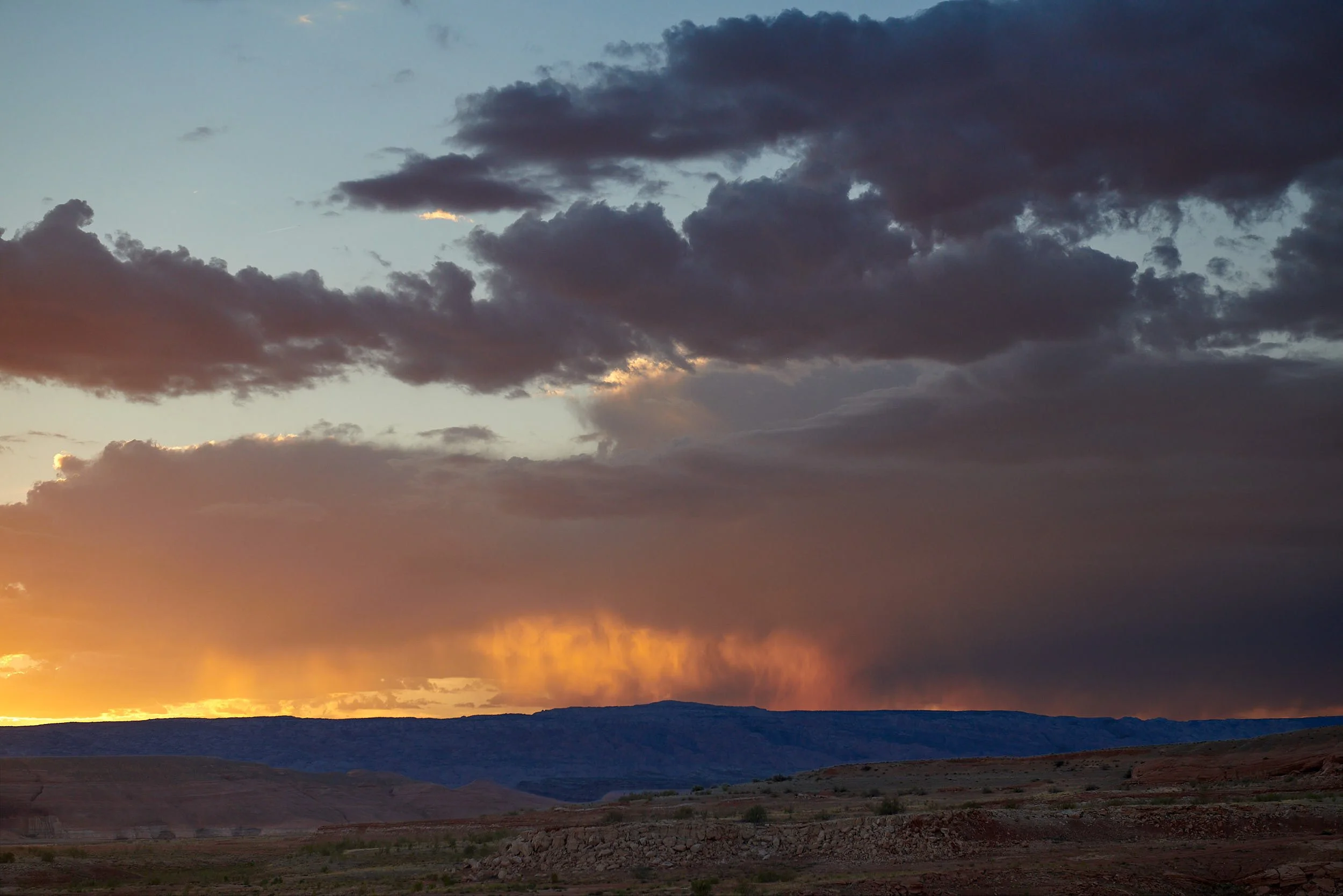
Burr Trail sunset from camp.
Lake Powell
The Colorado River provides water for cities, farms and tribal nations across seven states from Wyoming to Southern California, as well northern Mexico. It also generates substantial electricity. The Colorado River’s two largest reservoirs are at low levels. In October 2023, Lake Mead was 34% full and Lake Powell at 37% of capacity.
Bullfrog Creek entering Colorado River basin, Utah.
Change has arrived.
Climate change is expected in the Southwest to result in:
Less precipitation.
Shorter winters and less snow at lower elevations.
Higher temperatures, longer summers and drier soils.
Reduced flow of the Colorado River.
In 2009, Barnett and Pierce incorporated the predicted effects of climate change and calculated that Lake Mead has a 50-50 chance of emptying by 2025-2031 (Proc Natl Acad Sci U S A. 2009 May 5;106(18):7334-8). Their findings were hotly disputed by Colorado River management authorities. (Previous administrative models had ignored the potential consequences of climate change.)
In 2019, as Colorado’s reservoirs were dropping, water managers agreed to reduce water use under a deal called the Drought Contingency Plan.
In 2021, States agreed to additional cuts, which projections later showed would not be enough to address the risk of Lake Mead declining toward “dead pool” levels — the point at which water would no longer pass downstream through Hoover Dam.
In June 2022, Reclamation Commissioner Touton announced that the crisis of declining reservoir levels would require much larger reductions.
In May 2023 California, Arizona and Nevada agreed to voluntarily conserve 3 million acre-feet of water over the next three years, which amounts to 13 percent of these states’ total allocation from the river.
An analysis by the federal government found the May agreement should be sufficient to stave off the risk of reservoirs reaching critically low levels over the next three years.
New long-term river management rules are being developed that will take effect in 2027.
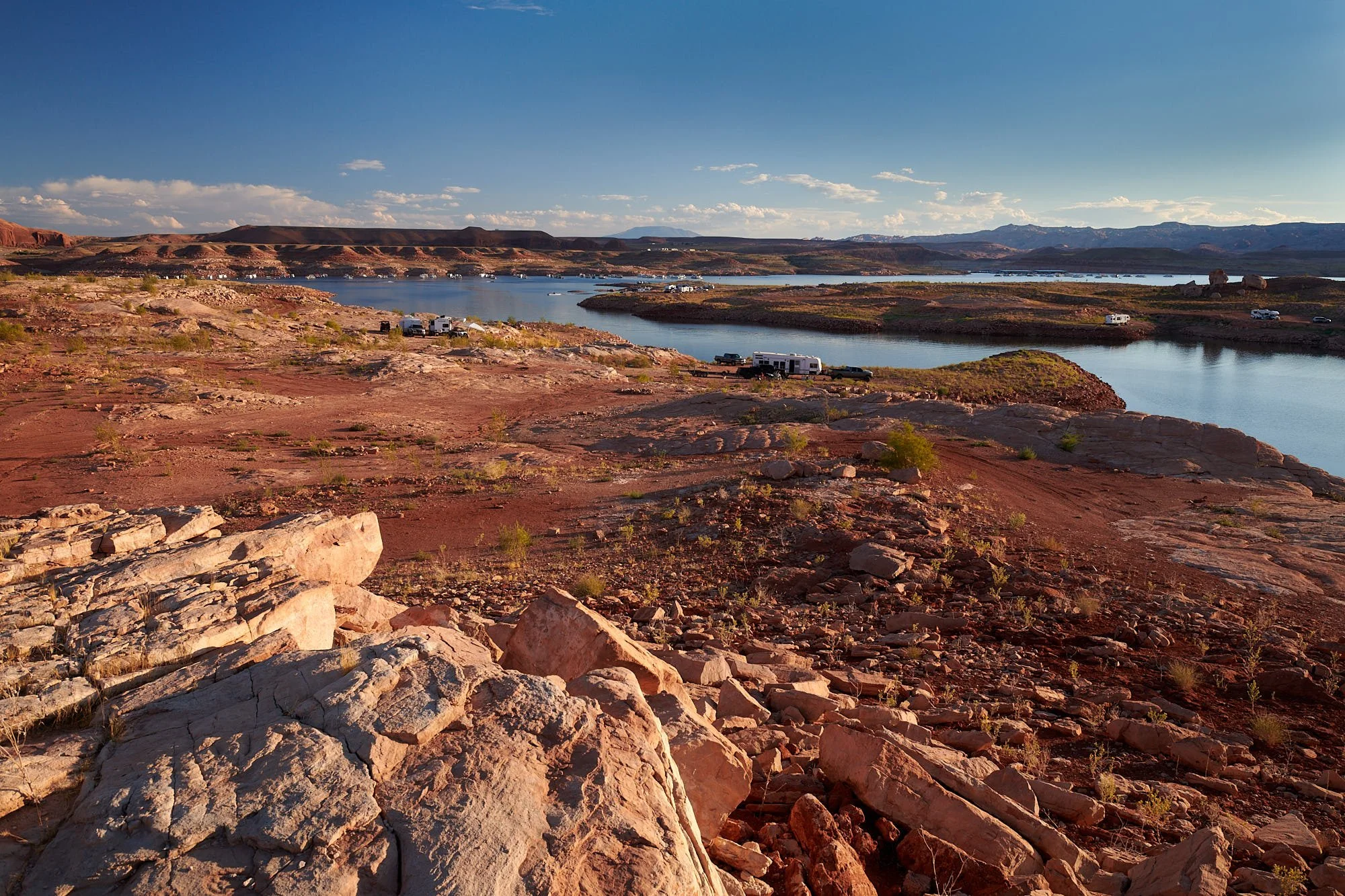
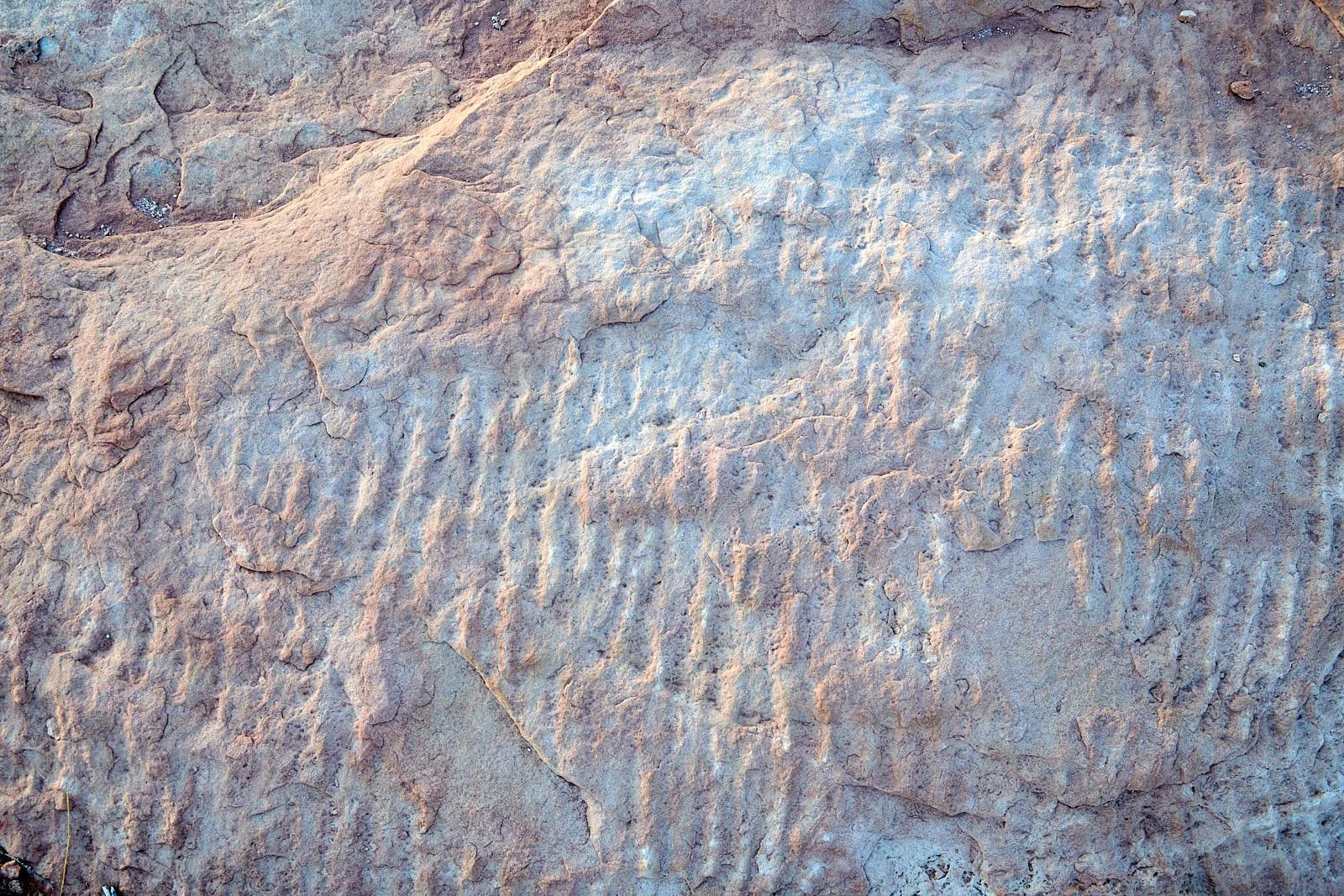
Lake Powell at Bullfrog primitive campground, Utah.
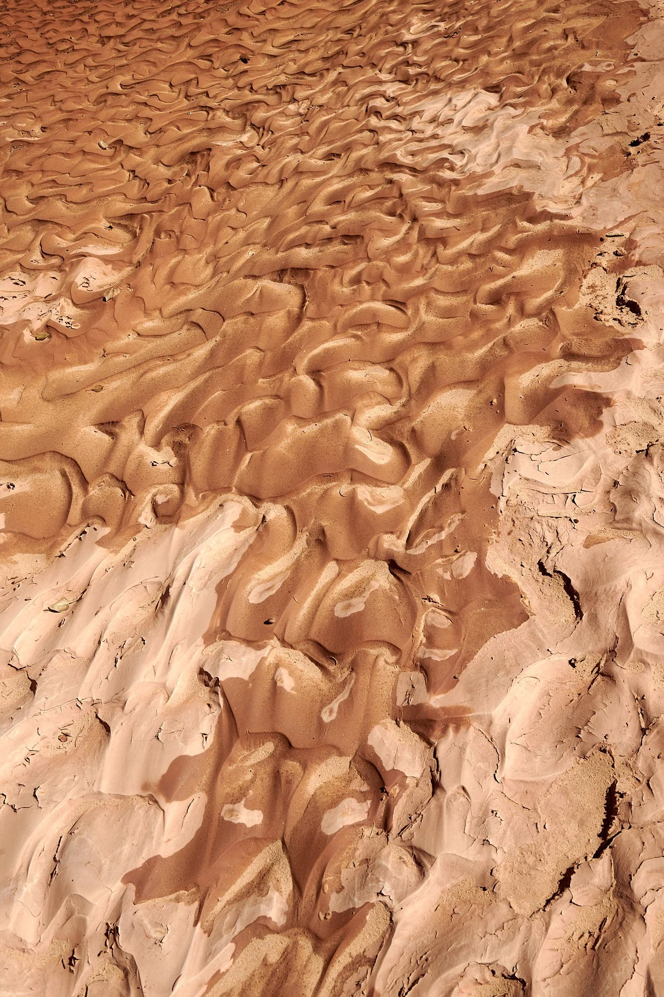
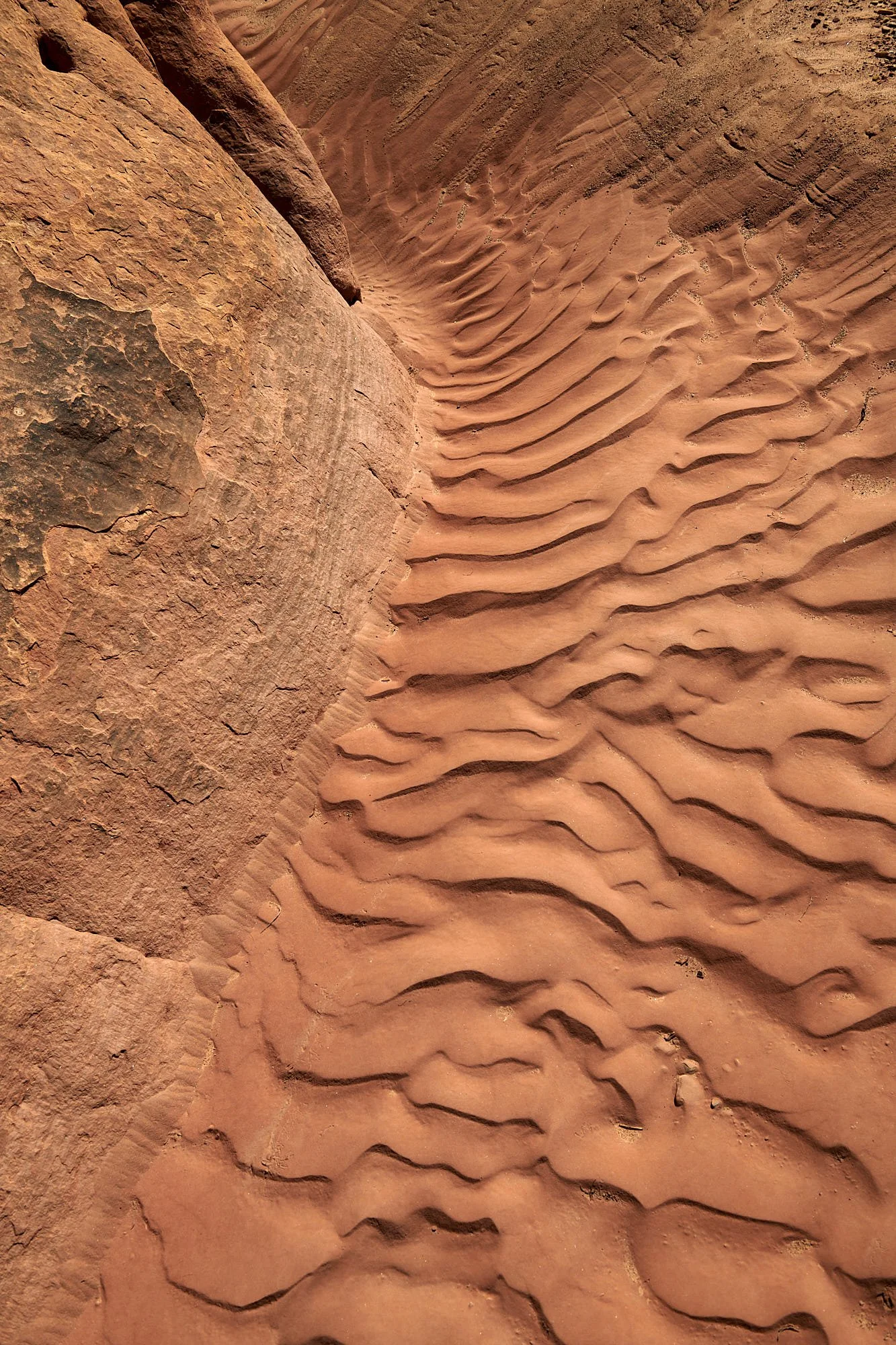
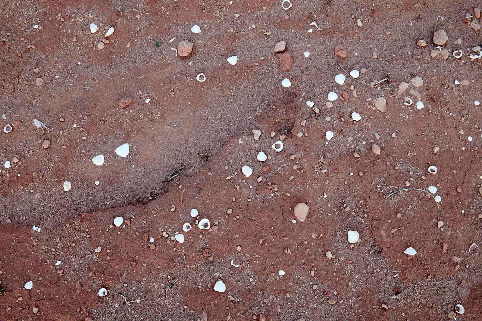
Camp at sunset. It was situated below the high-water mark, as evidenced by the desiccated freshwater shells and ripples of erosion in the sandstone (images below).
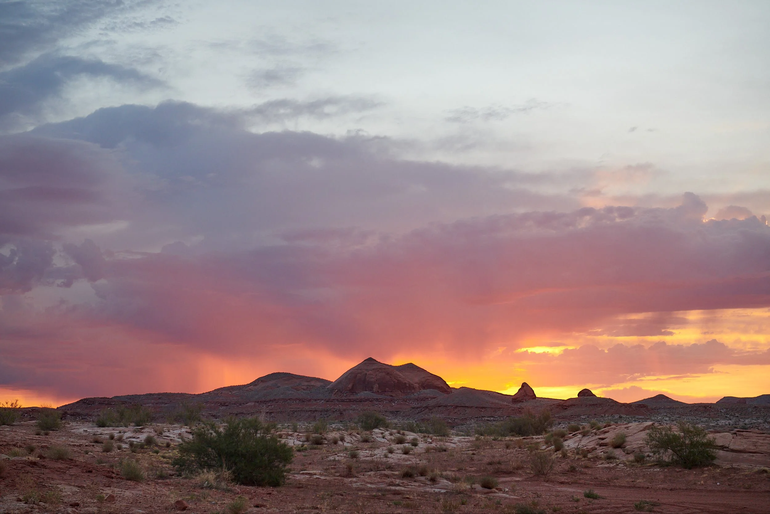
Sunset (left image) and sunrise (right image) were spectacular. However, the lake’s surroundings appeared depleted and degraded. Water sports were the main attraction. We moved on, journeying south along a very scenic byway and crossed the Colorado River to enter Bears Ears territory.

Lovely spot along highway 95, Utah.

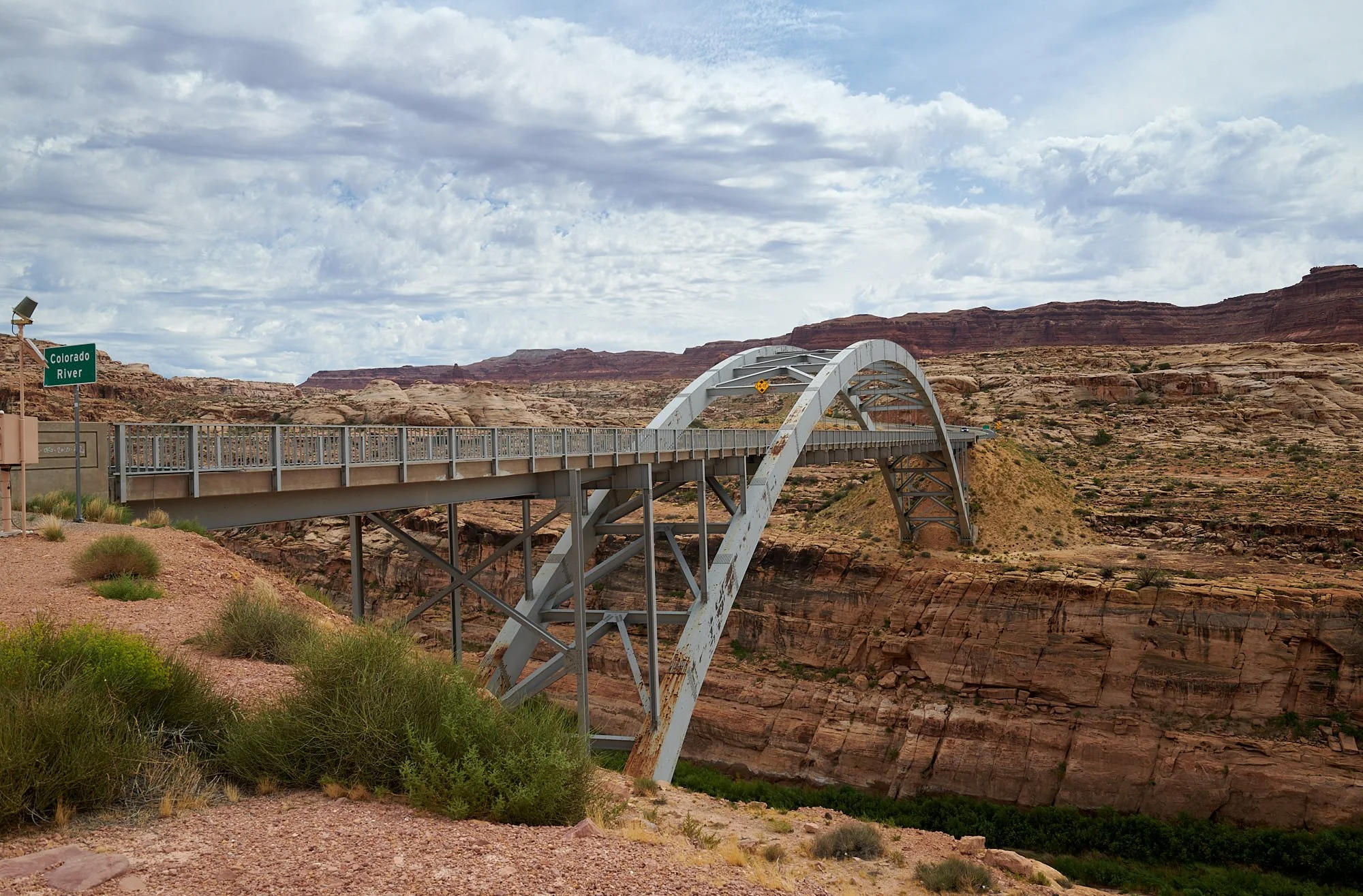
Top row, left: Rafting access beach on the Colorado River, Utah. Colorado River bridge upstream of Dirty Devil gorge, Utah.
Bottom image: Highway 95 near Hite, Utah.
Southwest and climate change
In his insightful 2011 book “A Great Aridness – Climate Change and the future of the American Southwest”, William deBuys argues that the Southwest, a region of rapid growth and extremely limited water resources, is particularly vulnerable to the effects of climate change. It is an early and sensitive indicator of climate-induced stress.
He examines what occurred to past Southwest cultures in times of extended drought. Now, the region can expect decreased precipitation, increased temperatures, drier soil, increased snow melt and evaporation, and more dust. The implications upon species diversity, habitats, fire, agriculture, urban growth, rivers and groundwater, socio-economic issues and the international border are explored.
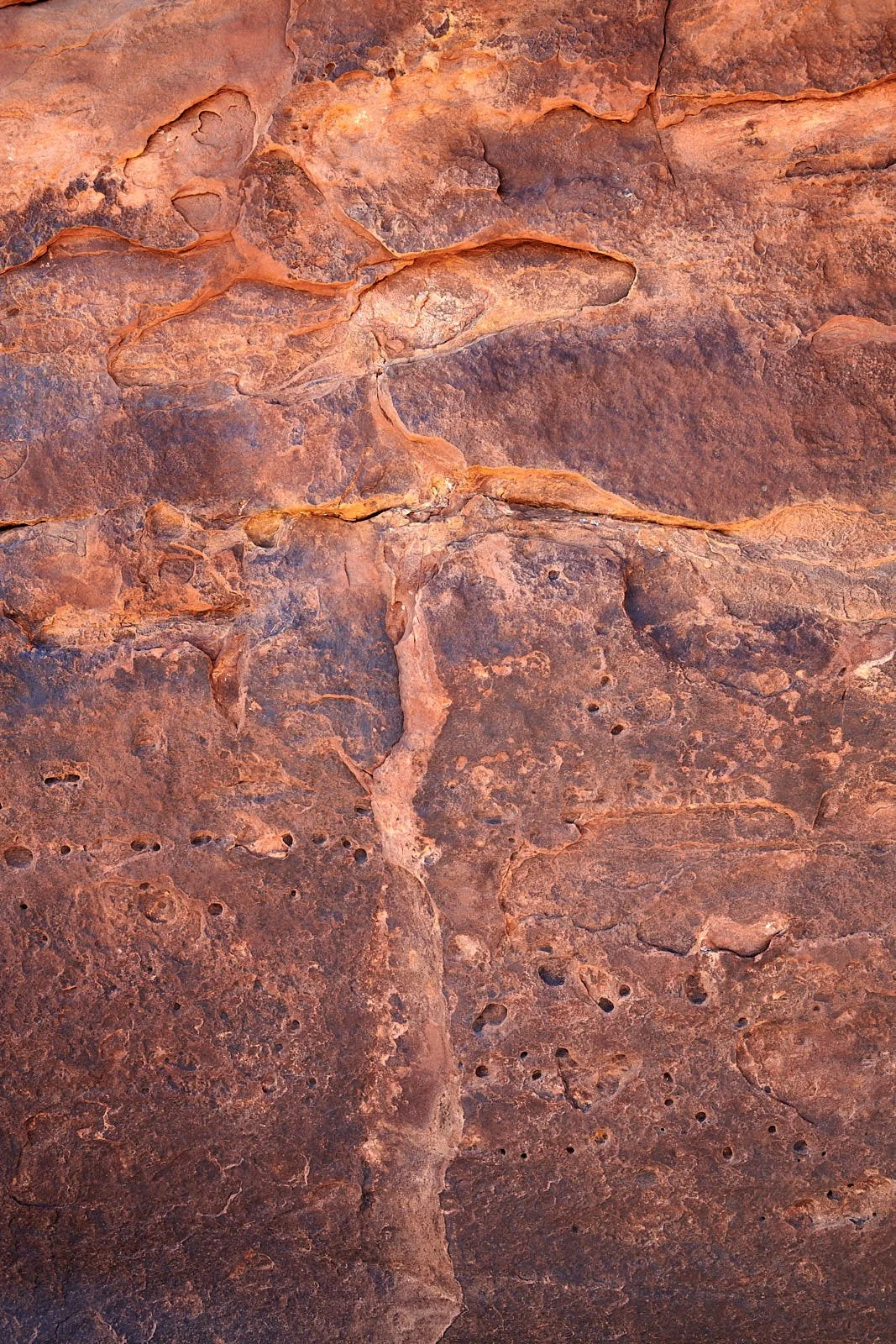
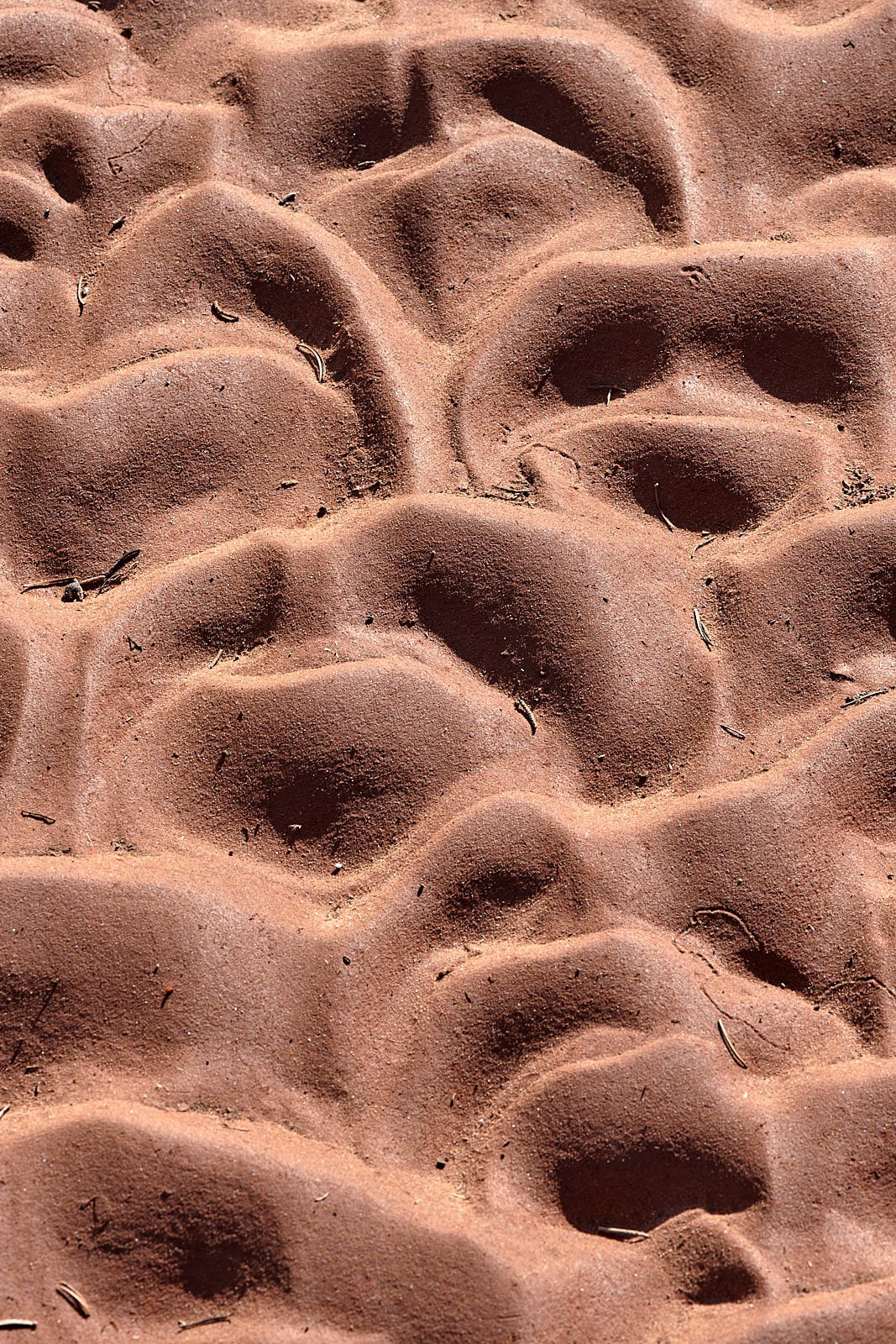
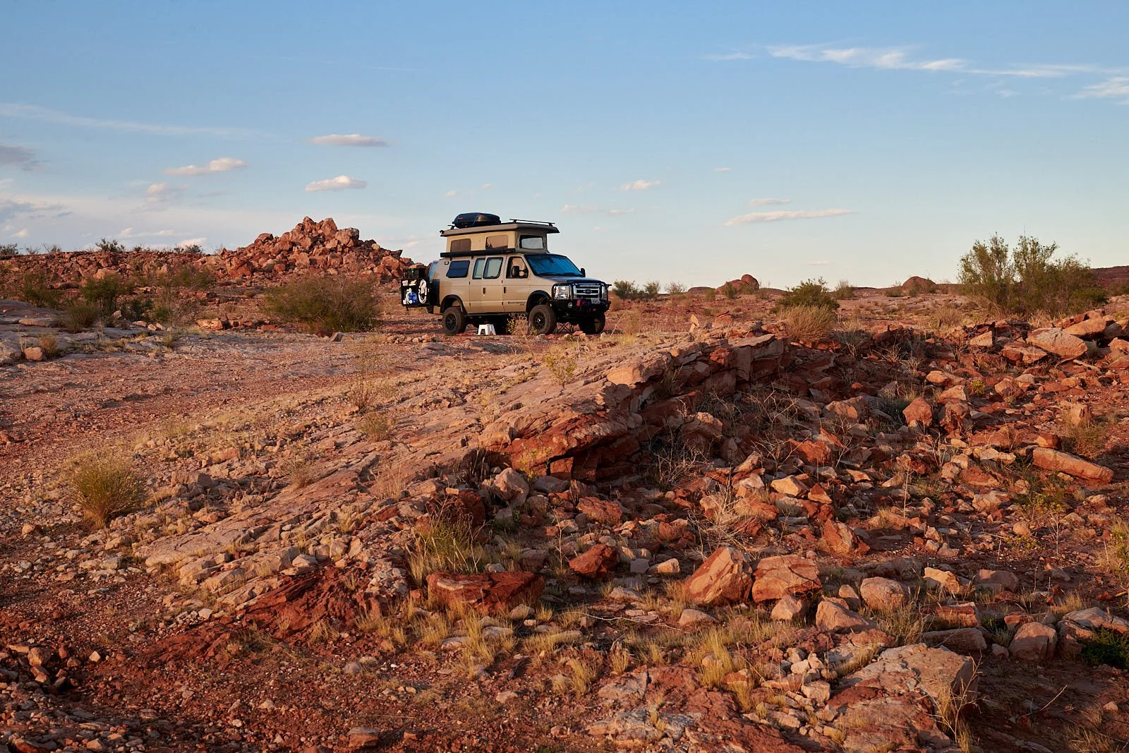
We spent a few days exploring a few of the many sandstone canyons that White Canyon Creek and its tributaries have carved over the centuries. Our camp was near Jacob’s Chair, perhaps 20 miles downstream of the Natural Bridges Monument. Although the land is indeed arid, it was immediately apparent how richly diverse the biota is, especially when compared to Lake Powell’s shoreline. However, human-induced crucial tipping points are looming (or have arrived), threatening to radically alter the current balance of Southwest fauna and flora.
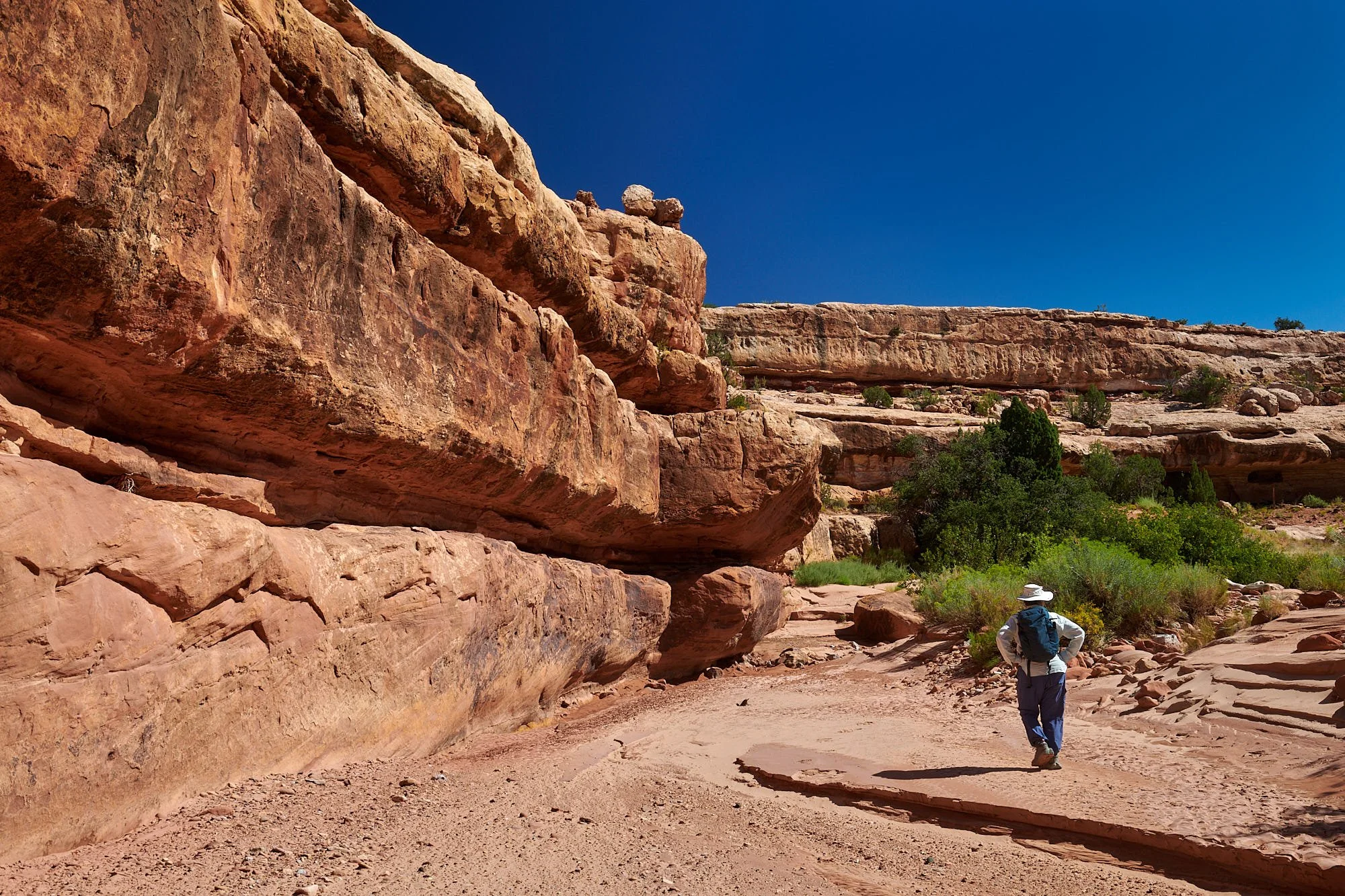
Entering a side canyon of White Canyon Creek, Utah
Late afternoon light, Utah.
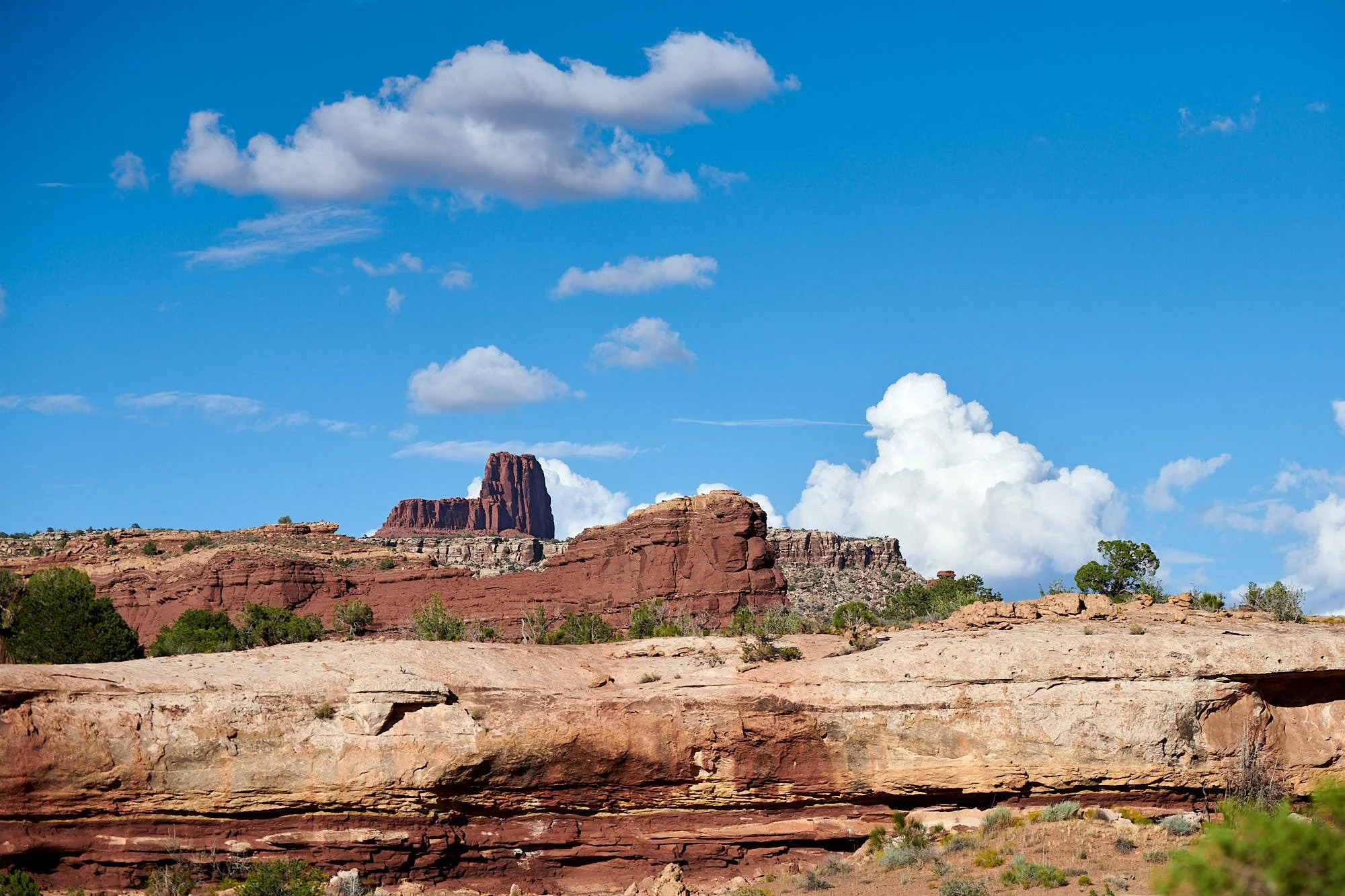
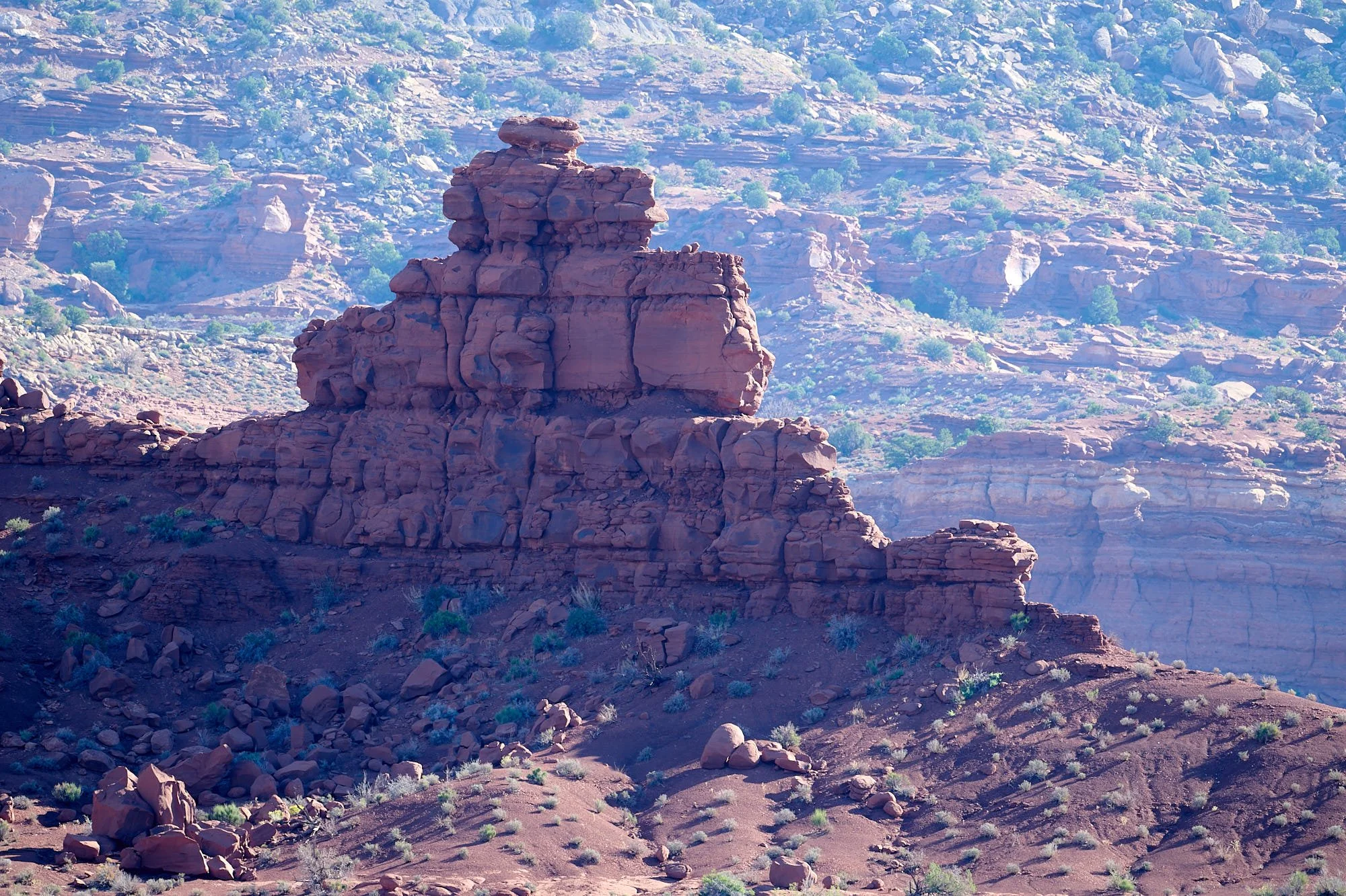
Jacob’s Chair, Utah.