The Big Birthday Bash: July to September, 2024
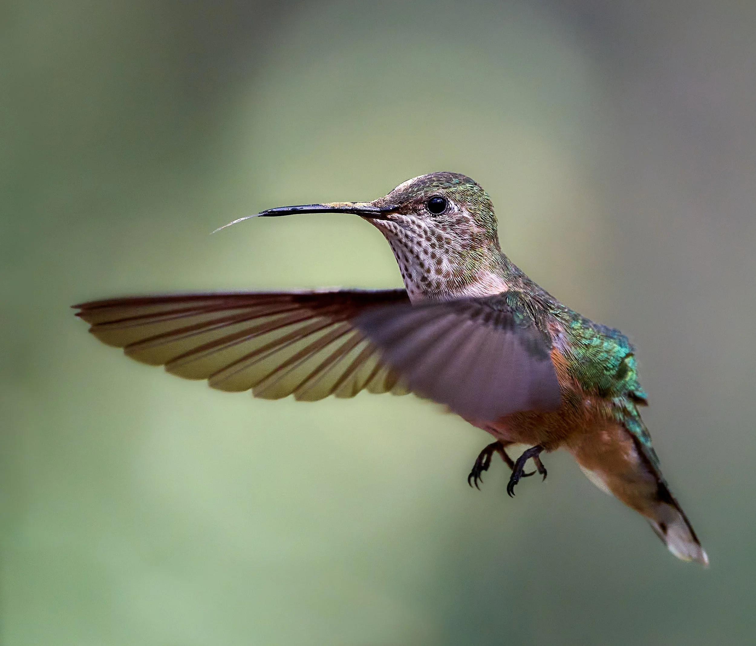
Rufous Hummingbird: Hart Mountain Antelope Refuge, Oregon
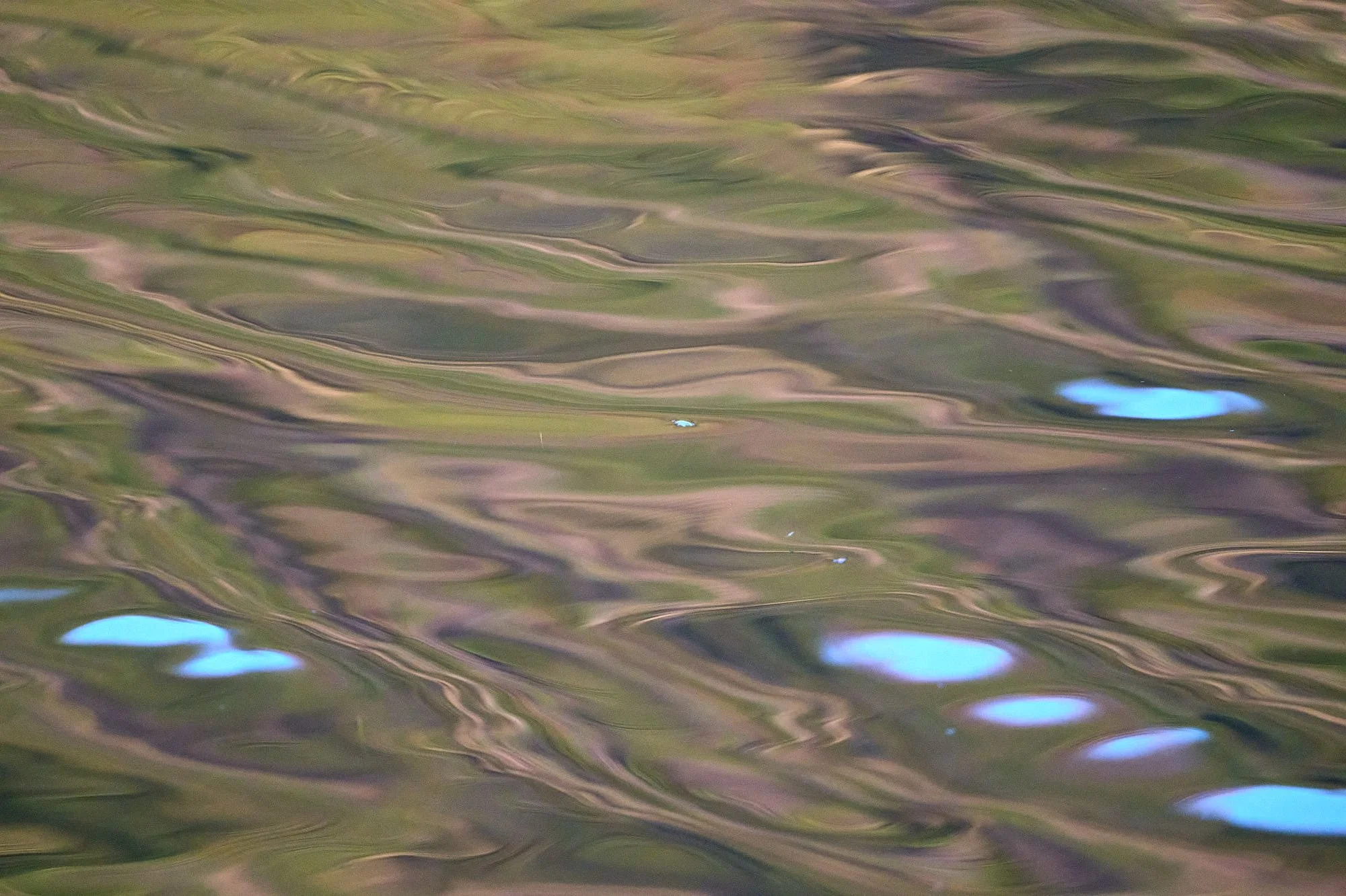
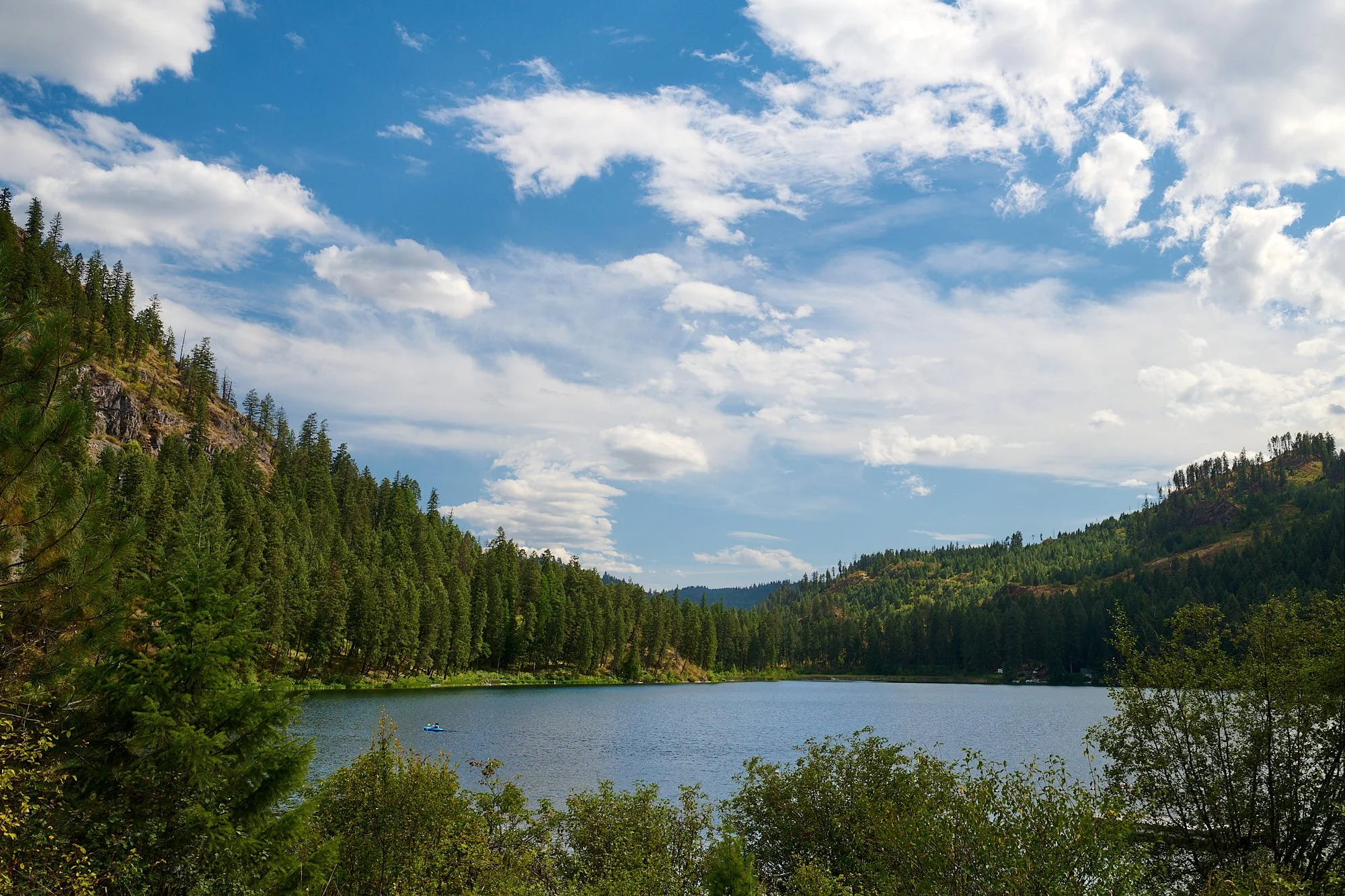
Bonaparte Lake: Washington State
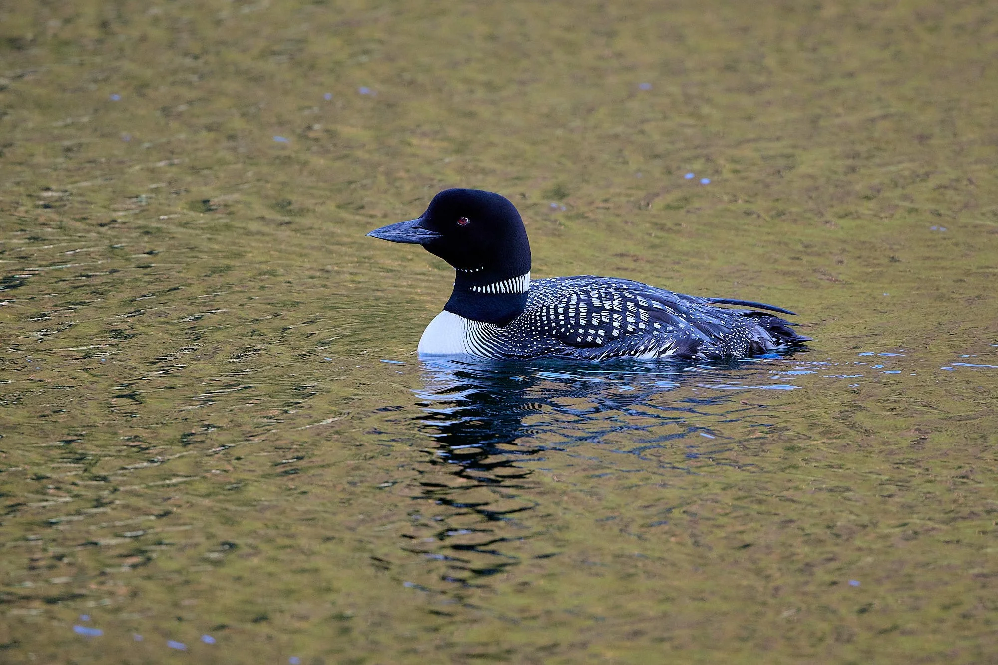
Common Loon, male: Washington State
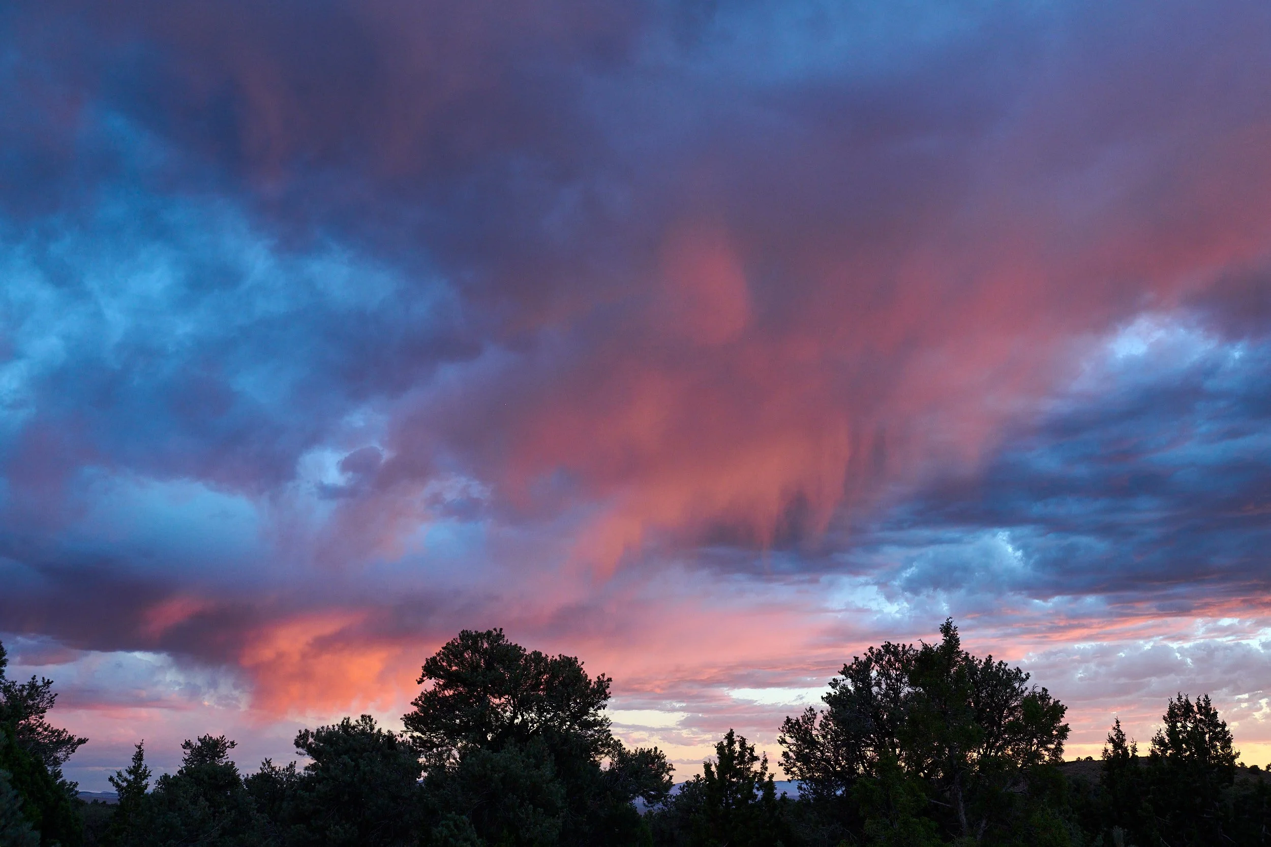
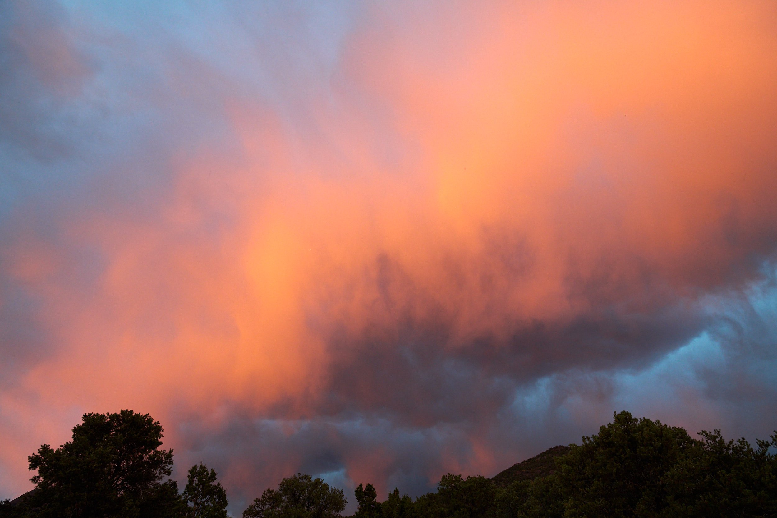
Evening shower: Berlin-Ichthyosaur State Park, Nevada
Come to our Party!
The invitation to the August 24th celebration in the Methow Valley, WA, arrived in April. We decided to take a month to get there and another month to return home. A route was devised that meandered through California, Nevada, Oregon, Idaho, and Washington State. It included some areas that were new to us, and allowed for several stops to visit friends. We set out in our Sportsmobile van during the latter half of July.
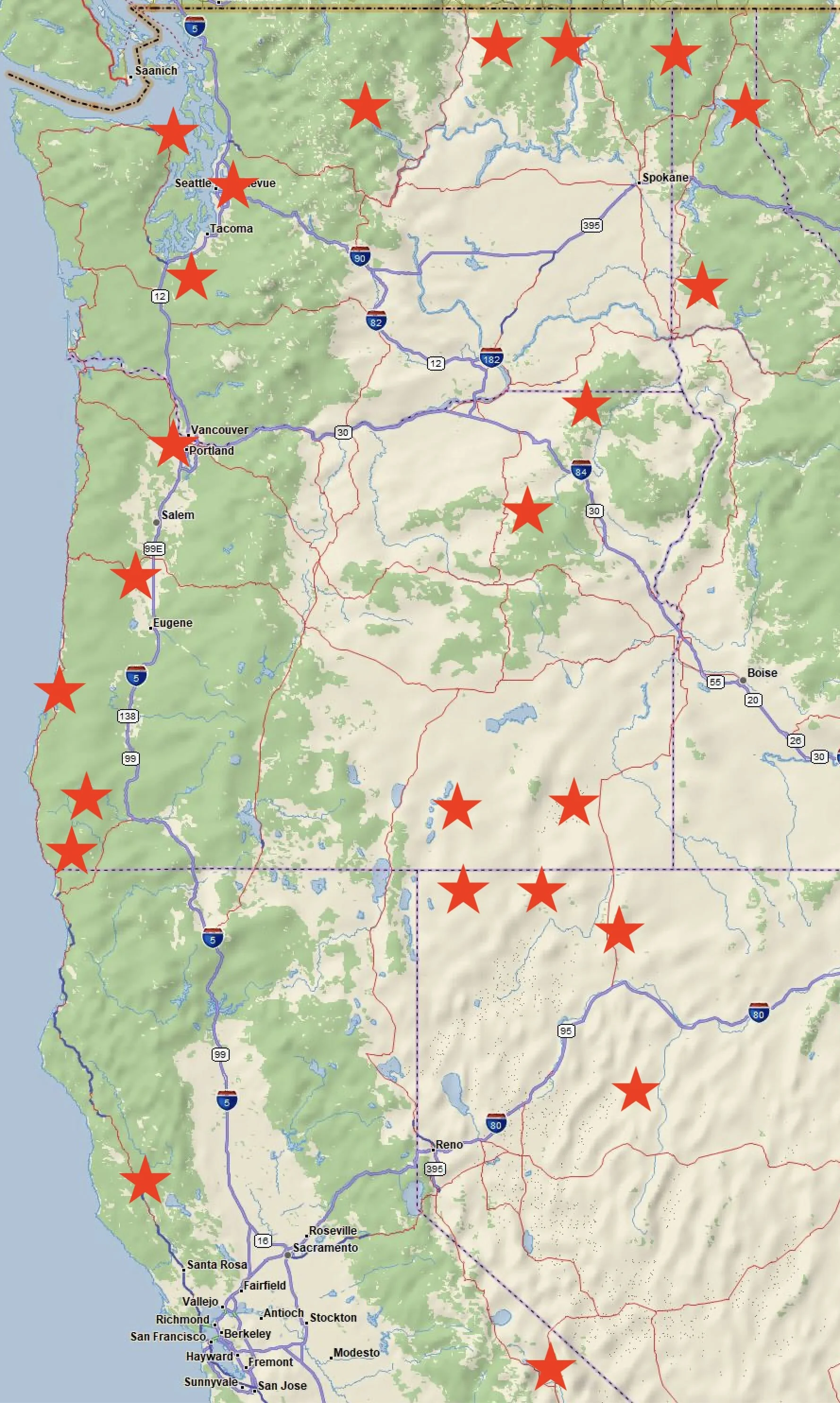
Our route. Stars indicate places we stayed.
Berlin-Ichthyosaur State Park, Nevada
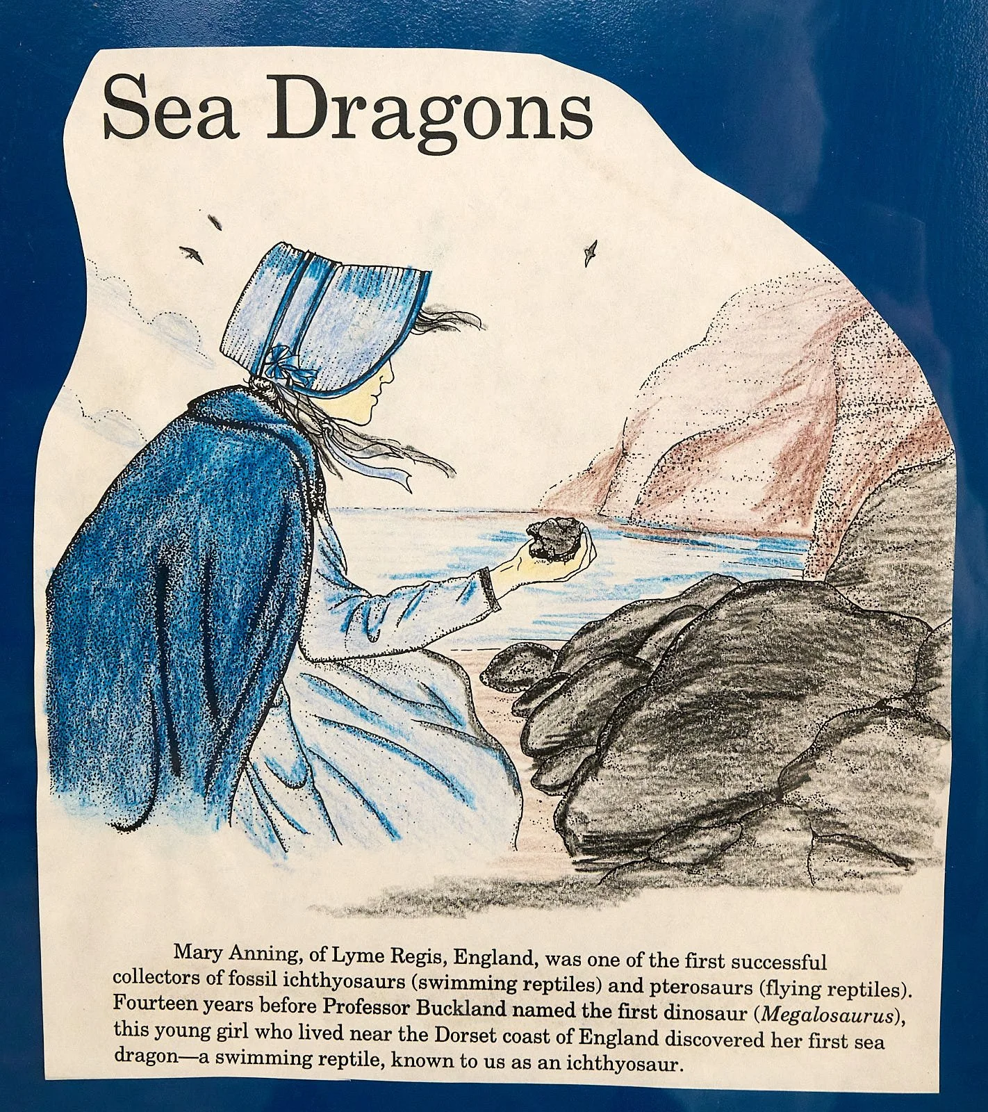
Nestled within the foothills of the Shoshone Mountains, this park showcases two periods of history - a “ghost” mining town built in the 1890s, and an exhibit of Ichthyosaur fossils that date to 225 million years ago.
Ichthyosaurs were marine reptiles and apex predators that lived in a warm ocean located over present-day central Nevada.
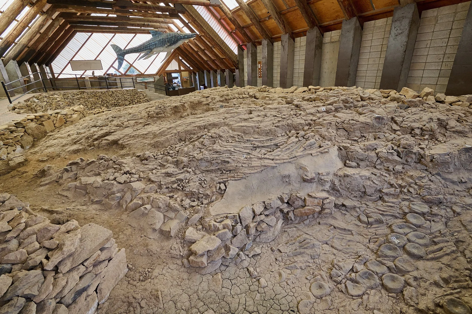
The Fossil House displays North America’s most abundant concentration of ichthyosaur fossils. The fossil remains have been left in-situ for educational purposes.
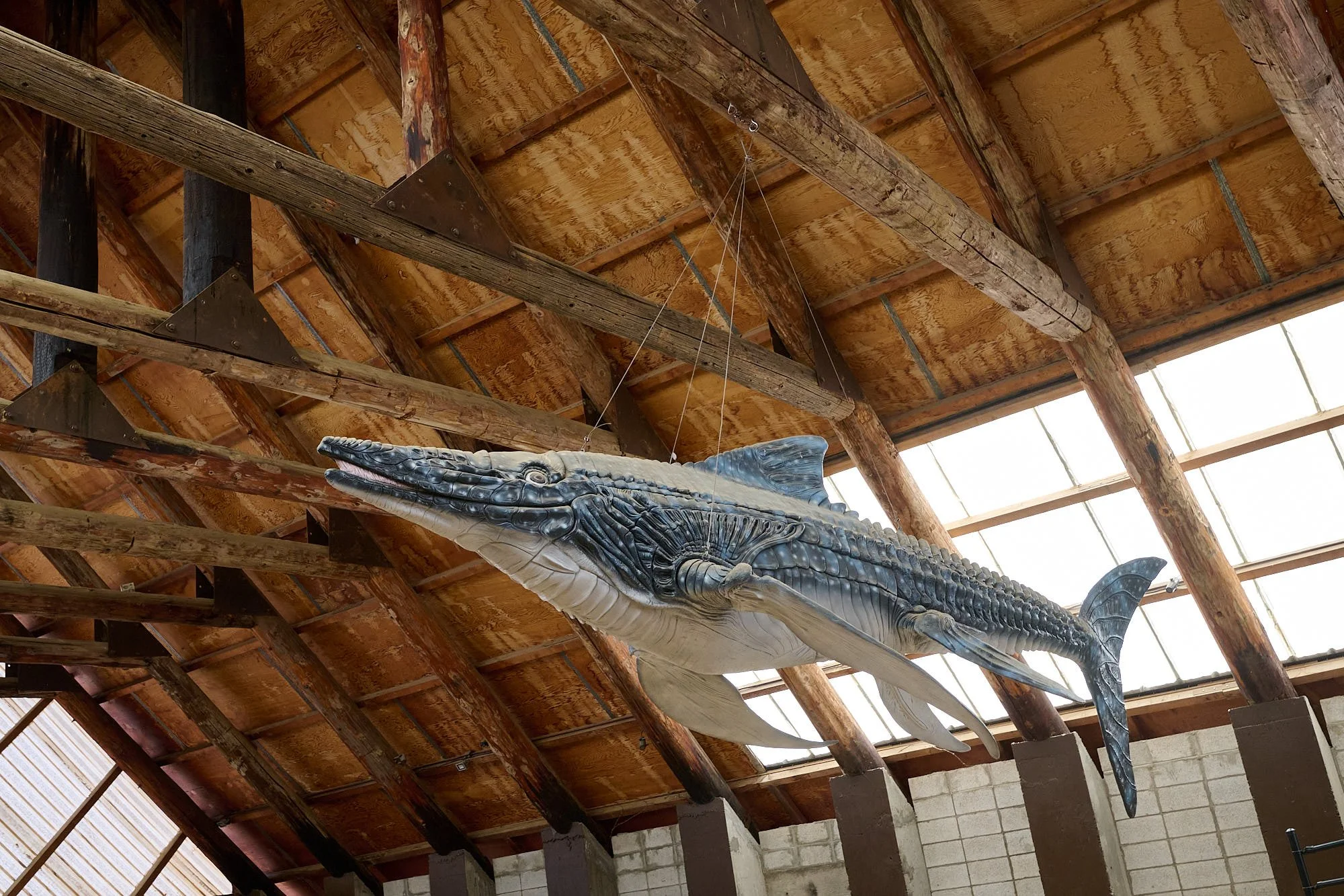
Who would guess this was a reptile.


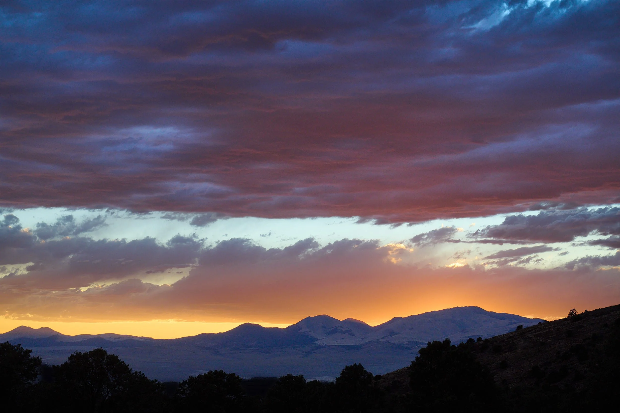
Sunset viewed from Berlin-Ichthyosaur State Park campground
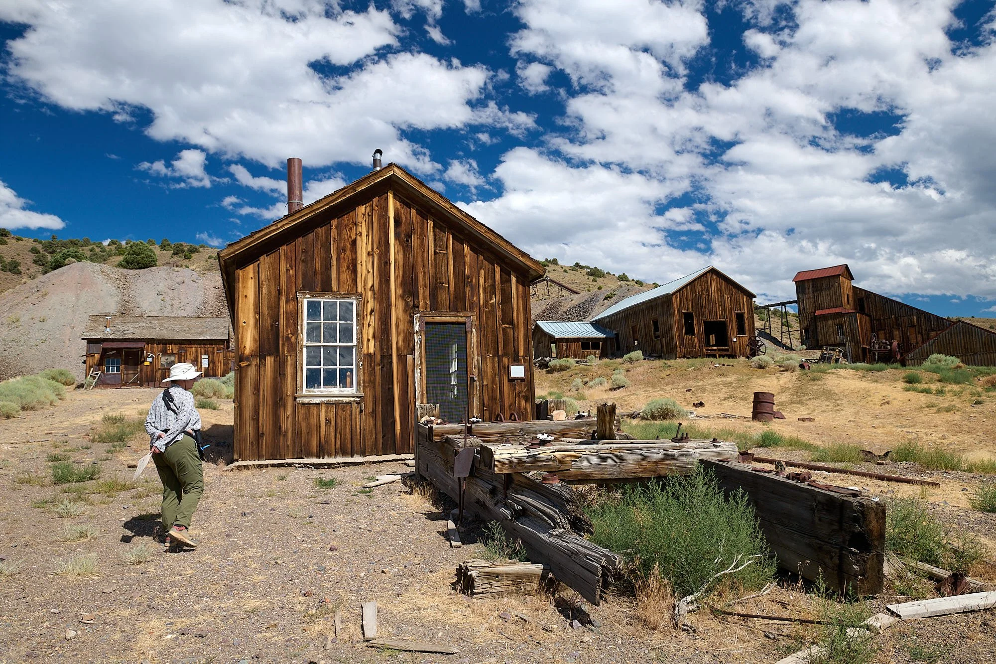
Berlin ghost town
The first mining activity in the region was in May 1863, when a small group of prospectors discovered silver in Union Canyon and the small mining camp of Union was settled. The following year the Union Mining District was formed, which included the towns of Union, Ione, Grantsville and later, Berlin. The first assay report in Berlin Canyon was in 1869, but it was not until 1896 that the Berlin Mine was established.
With the purchase of the mine and numerous surrounding mining claims by the Nevada Company in 1898, the town of Berlin was soon at its height of popularity, which continued until 1908. The town declined to its death by 1911. The Berlin Mine’s total production from its three miles of tunnels is estimated to have been $849,000 at a time when gold was $20 per ounce.
During its heyday, Berlin and its Union suburbs supported 200-250 people including miners, woodcutters, charcoal makers, a doctor, nurse, forest ranger and a prostitute. Many of the original buildings still remain, and some of the original residents are interred in the town’s cemetery. Berlin stands today as a true Nevada ghost town, preserved for present and future generations.
(From: State Park website)
Assay Office
Stage shop in the distance

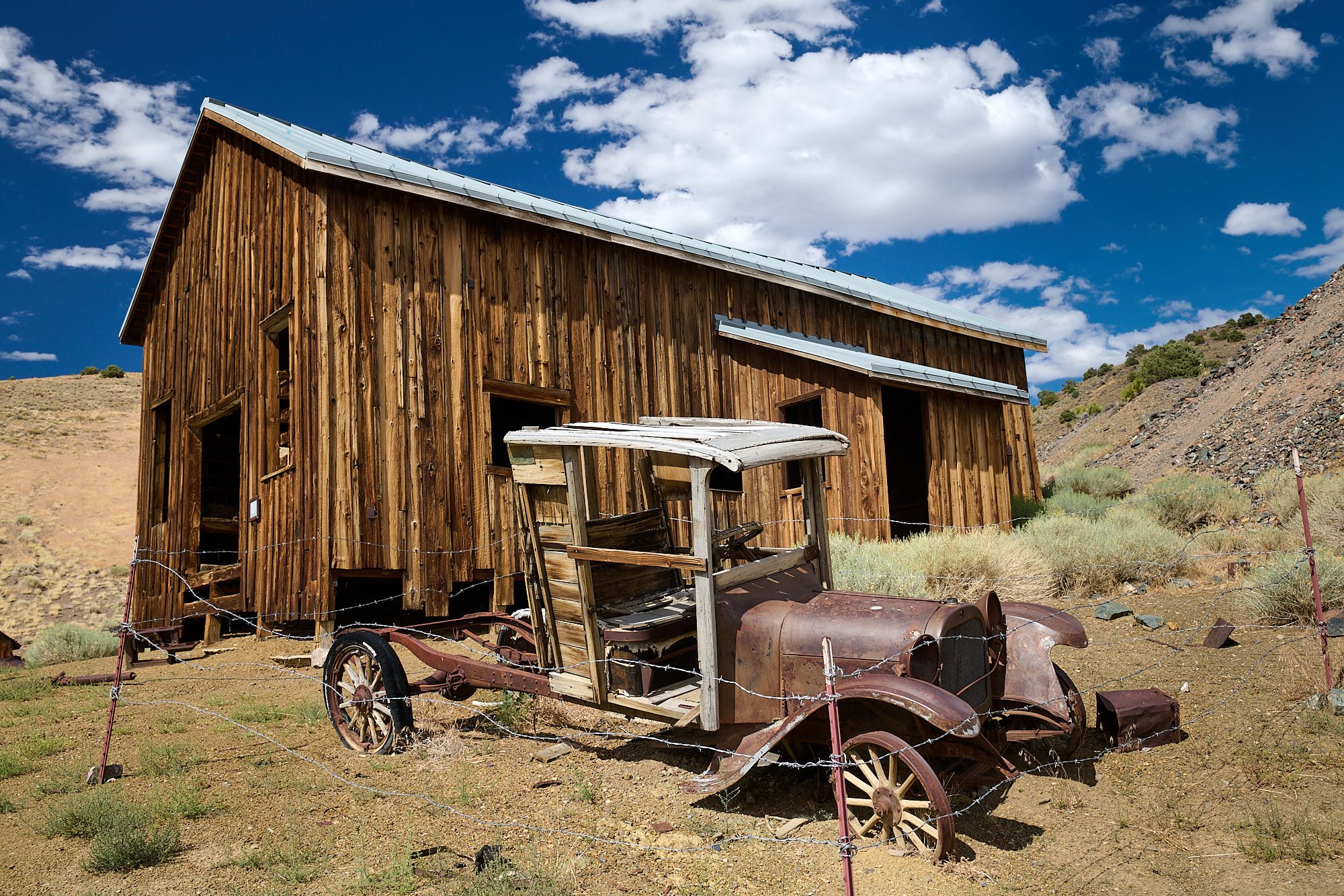
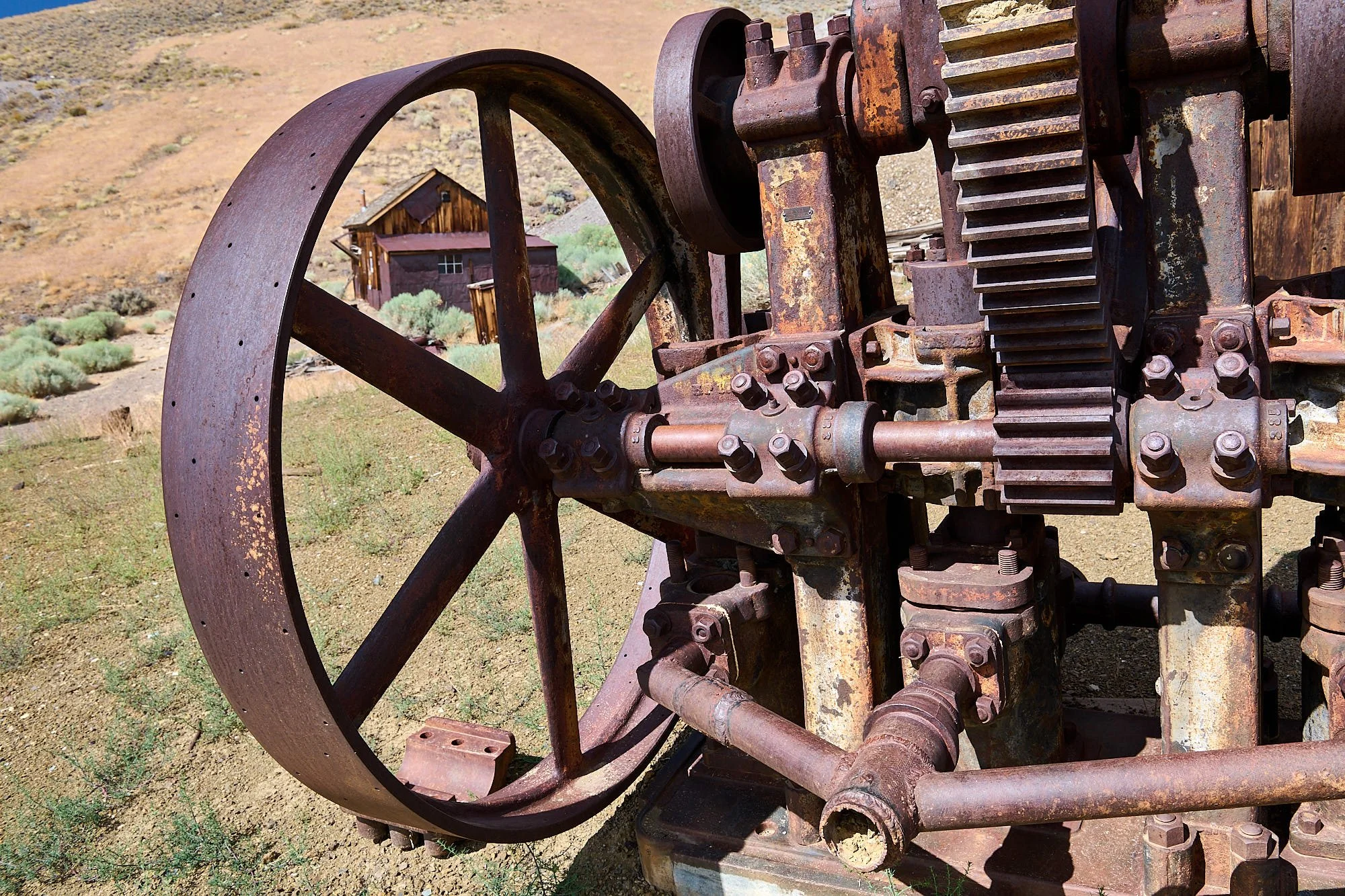
Machine shop

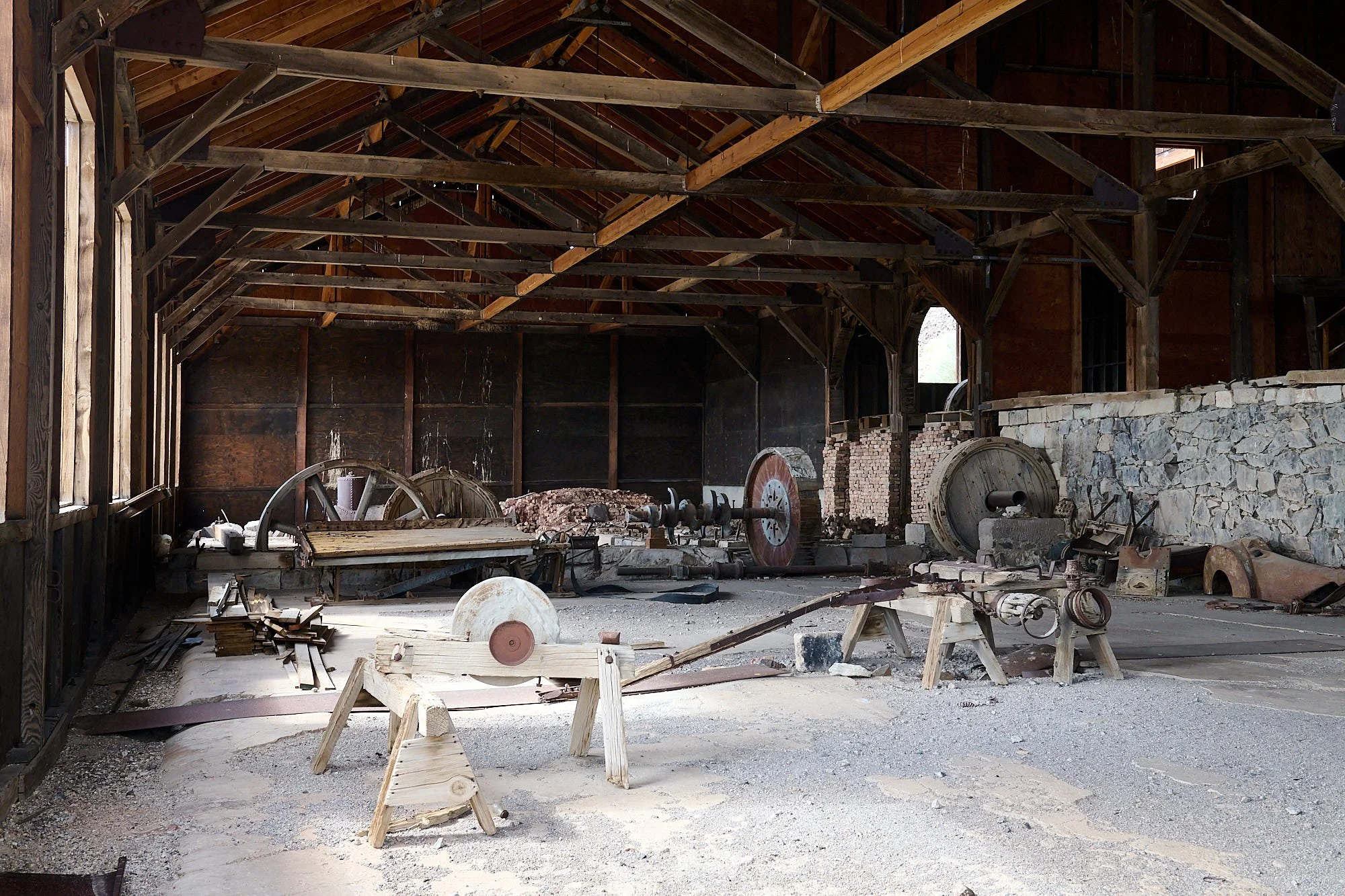
Mill building interior

Forgotten stories waft like wind among the buildings
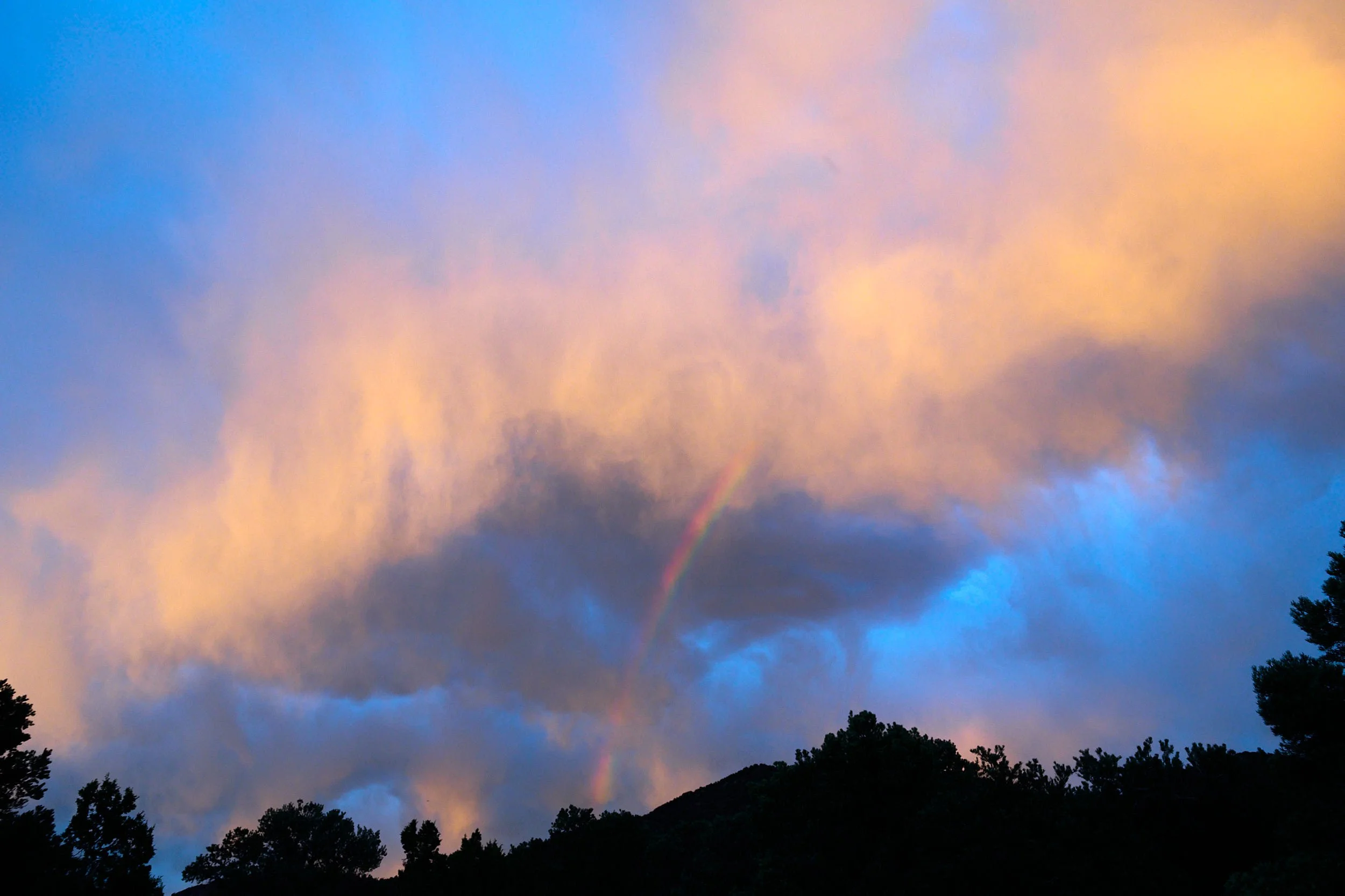
Rainbow at sunset - doesn't get better than that!
High Desert
East of the Sierra Nevada and Cascade ranges and in their rainshadow, lies a dry region fashioned by tectonic forces and characterized as “basin and range” topography. It has an austere beauty. We travelled north alongside the Reese River to Battle Mountain, went west to Winnemucca, and then continued northward following the Little Humboldt River valley to Paradise Valley. Next, we ascended unpaved Hickey summit road to the higher reaches of the Santa Rosa Range (Humboldt-Toiyabe National Forest), and established camp in a grove of quaking aspens. Not a soul to be seen.
Sheldon National Wildlife Refuge was our next port of call, notable for its wetlands, sagebrush plaIns and opal mines. Crossing into Oregon, we enjoyed 5 days at Hart Mountain Antelope Refuge. The Warner Peak wildfire started beyond the ridge on our last evening. Over the next few days, it expanded enormously. It is now fully contained but over 82,000 acres of the Refuge will remain closed through June 15, 2025 because of damage and the potential threat of invasive species.

Red-tailed Hawk: Sheldon NWR, Nevada
Cliff Swallow: Sheldon NWR, Nevada

Sage Thrasher: Sheldon NWR, Nevada
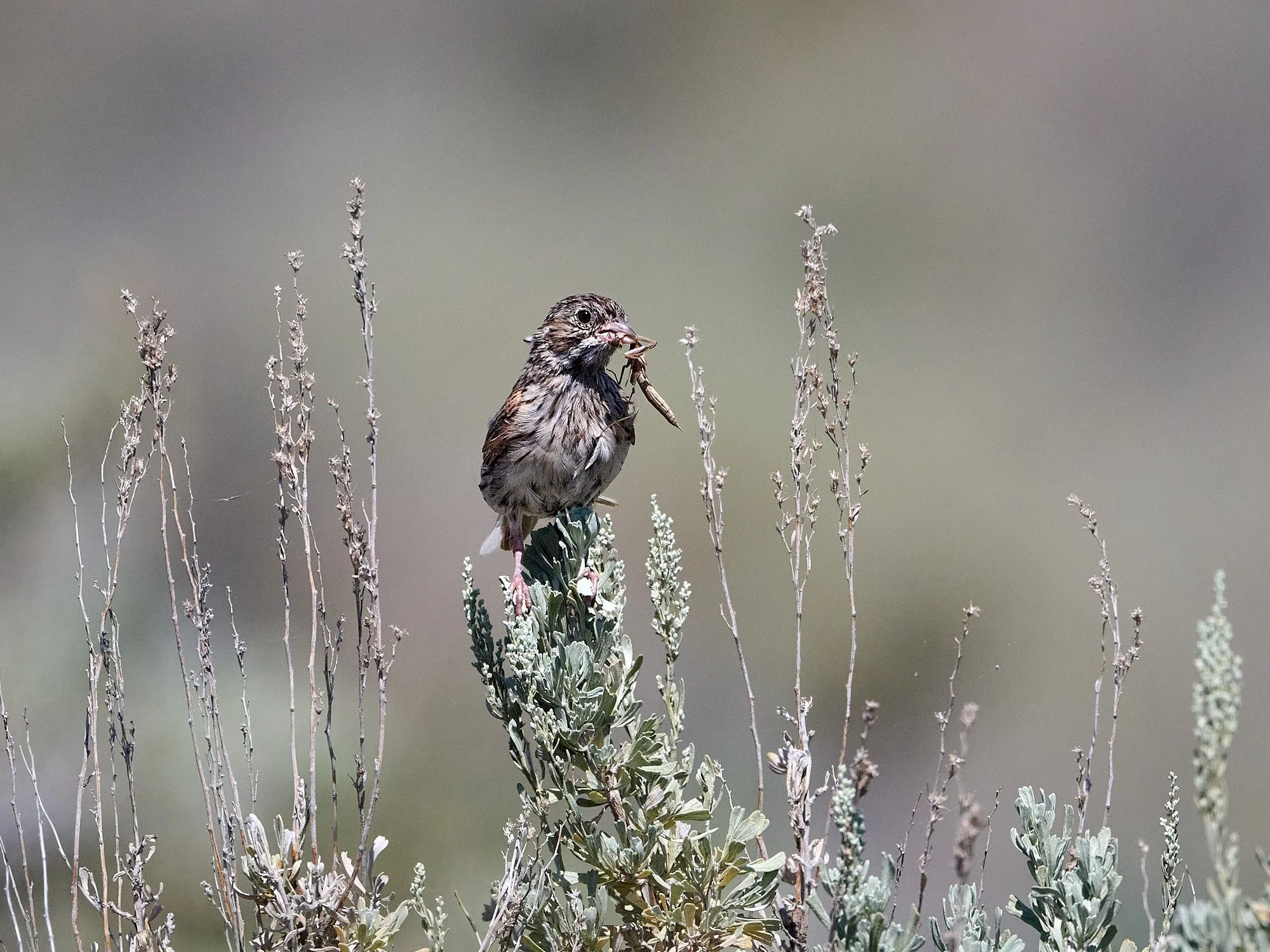
Song Sparrow feeding young: Sheldon NWR, Nevada
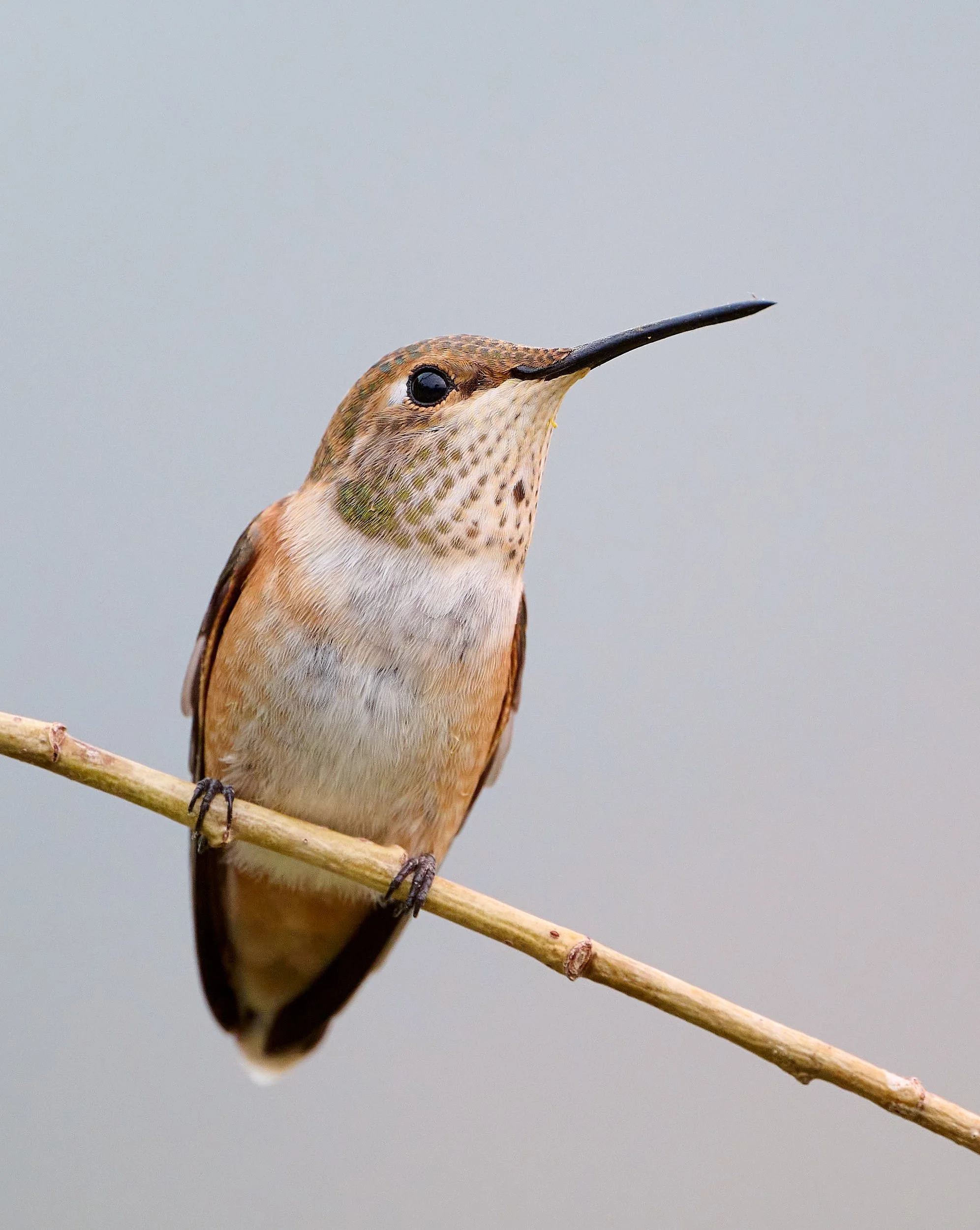
Rufous Hummingbird: Hart Mountain, Oregon
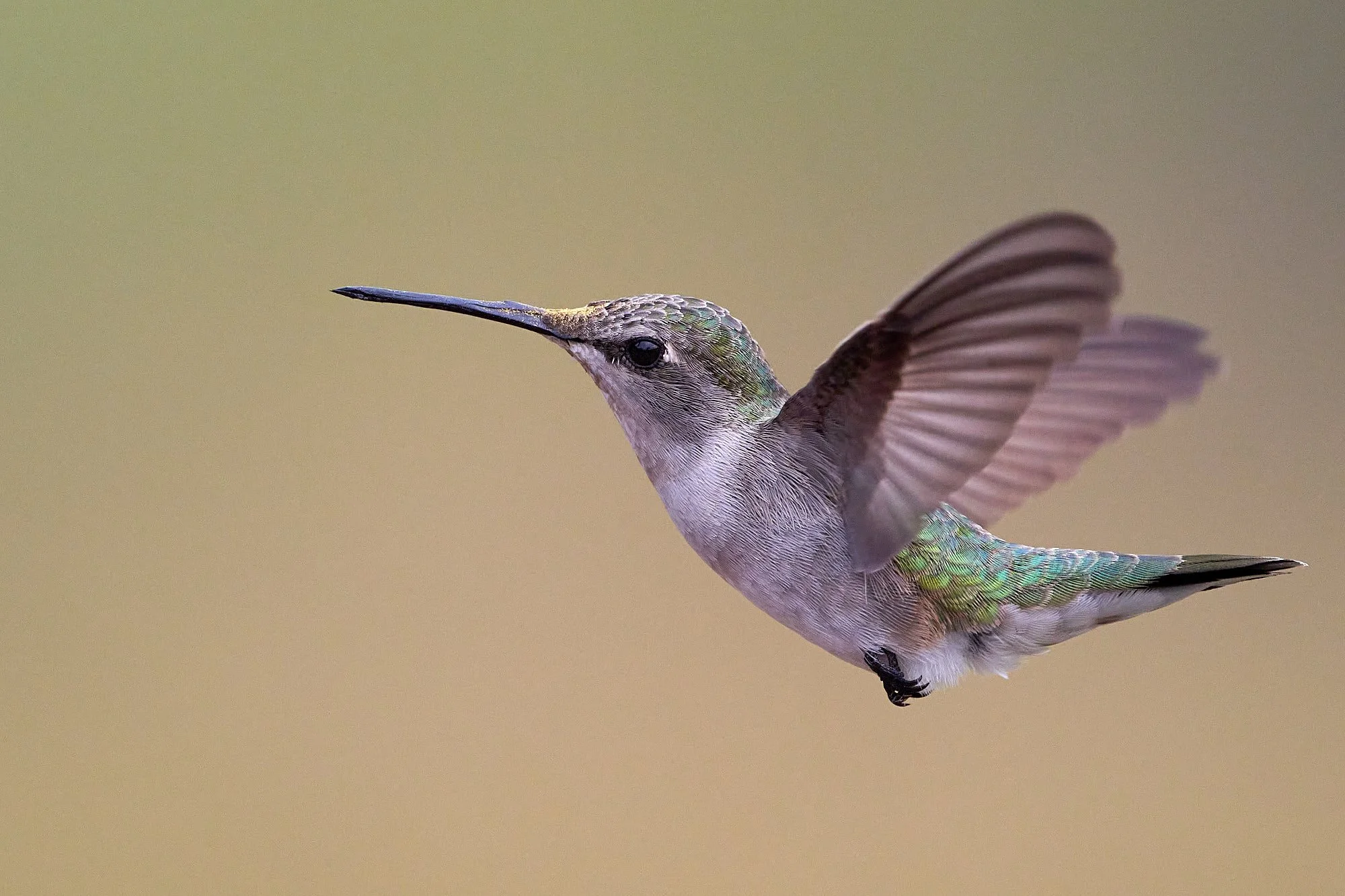
Anna's Hummingbird: Hart Mountain, Oregon
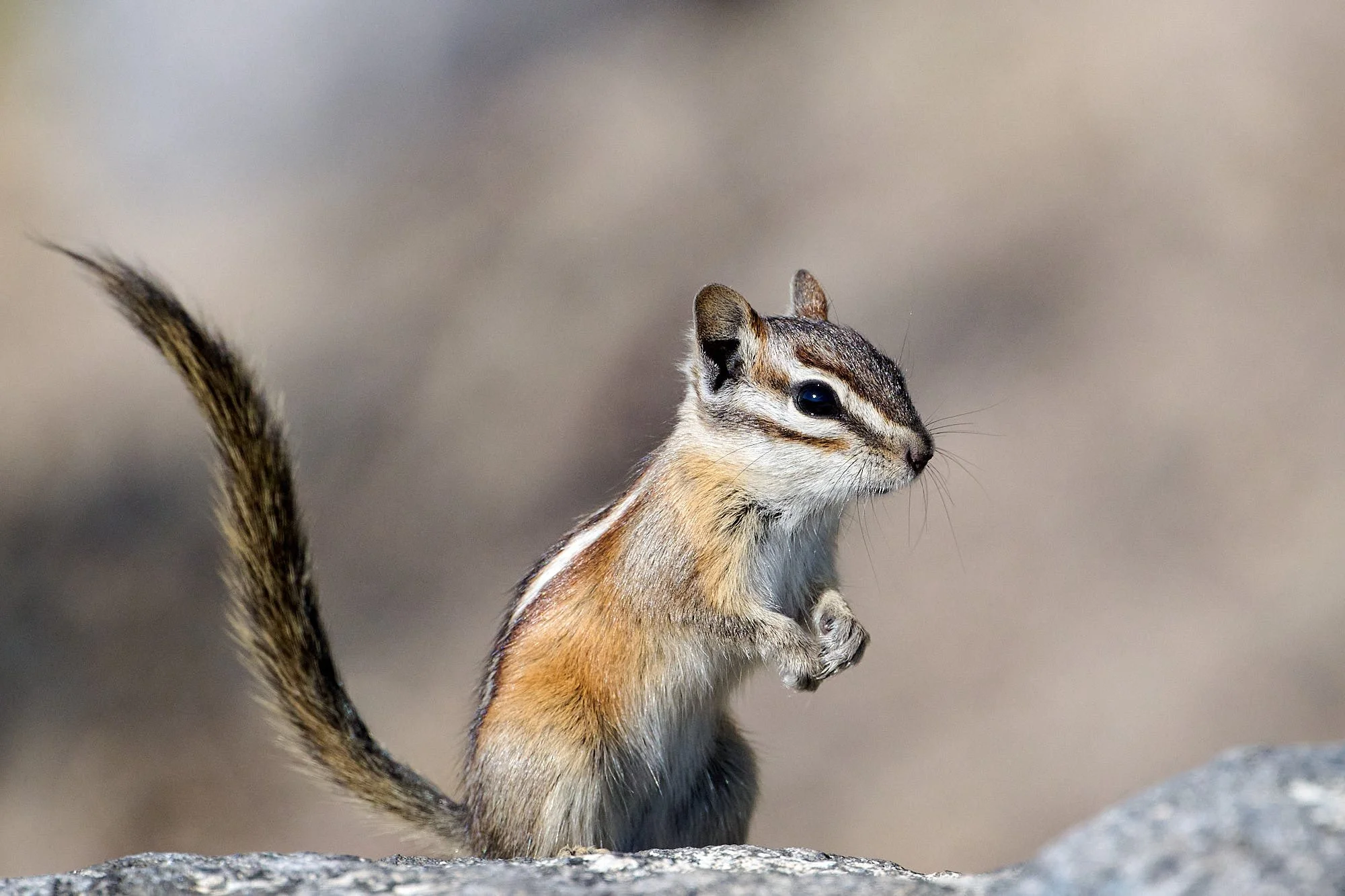
Least chipmunk: Hart Mountain, Oregon
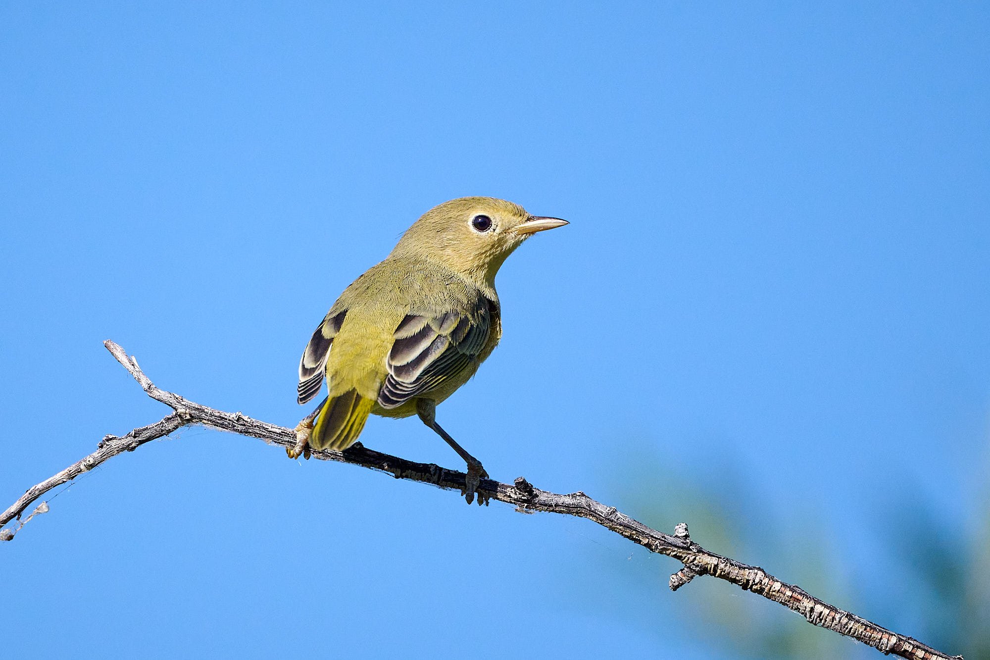
Yellow Warbler: Hart Mountain, Oregon
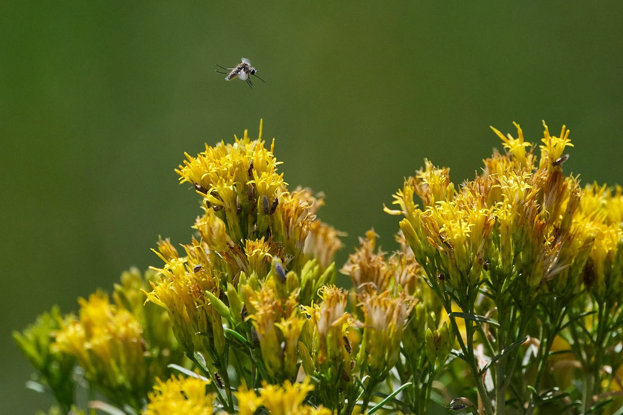
Goldenbush: Hart Mountain, Oregon
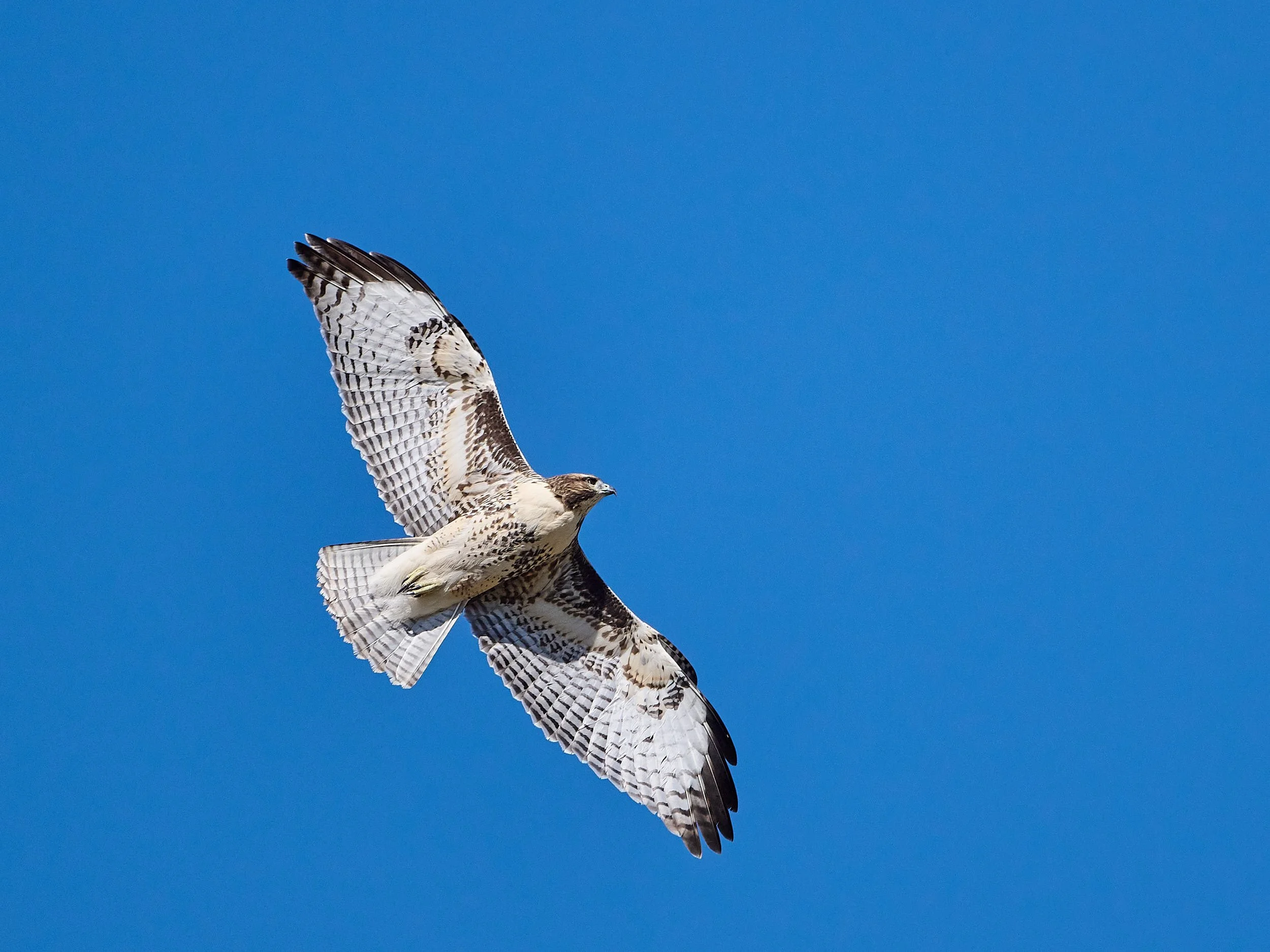
Red-tailed Hawk: Hart Mountain, Oregon
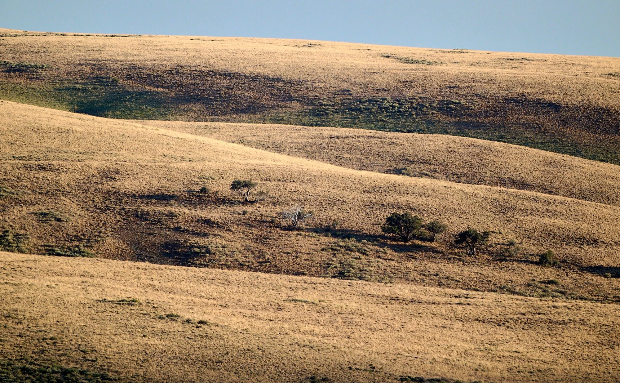
High plains: Hart Mountain, Oregon
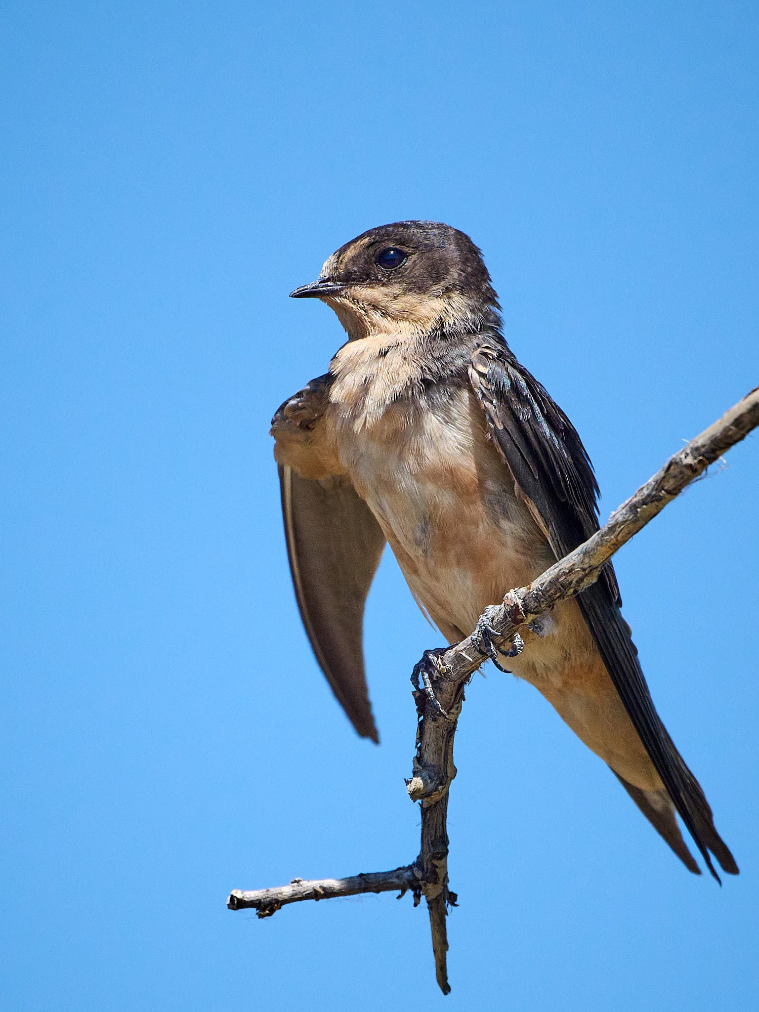
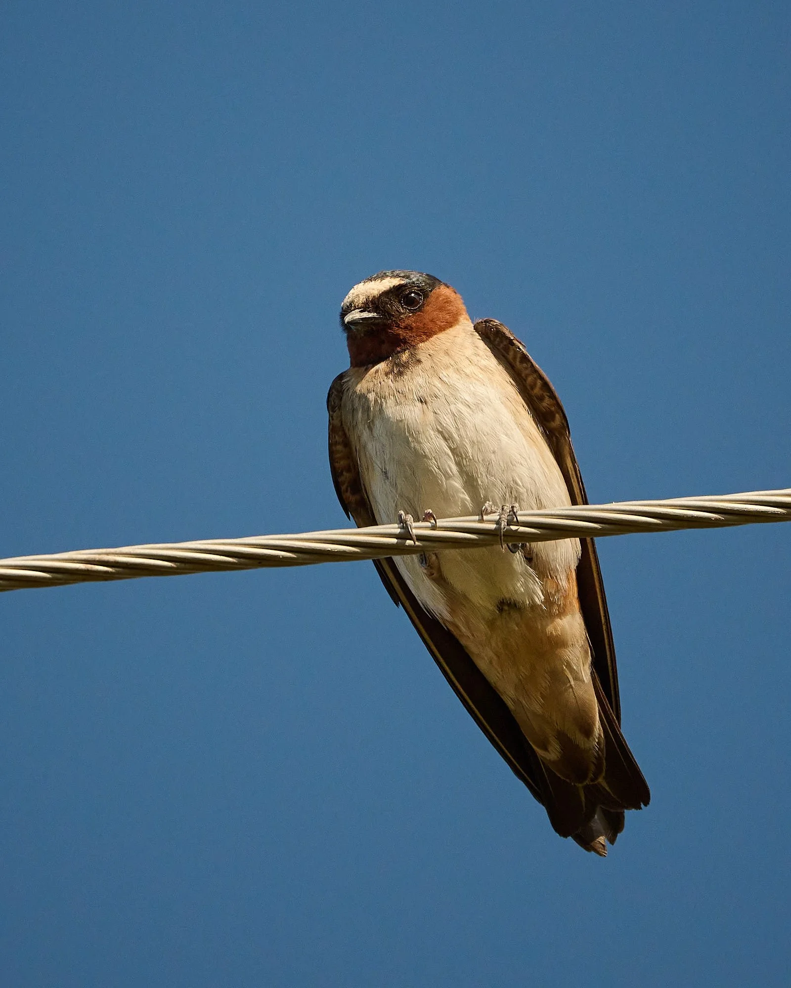
Barn Swallow, juvenile: Hart Mountain, Oregon
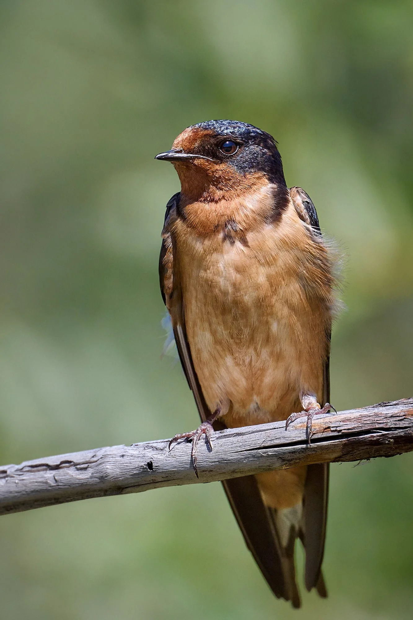
Barn Swallow, adult: Hart Mountain, Oregon
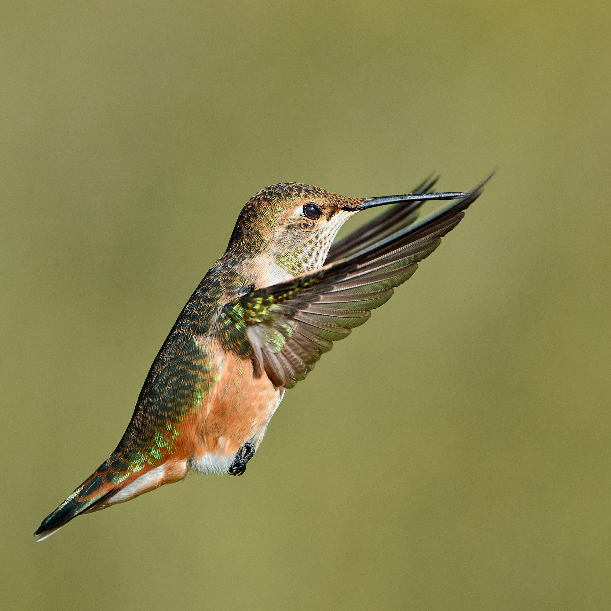
Rufous Hummingbird: Hart Mountain, Oregon
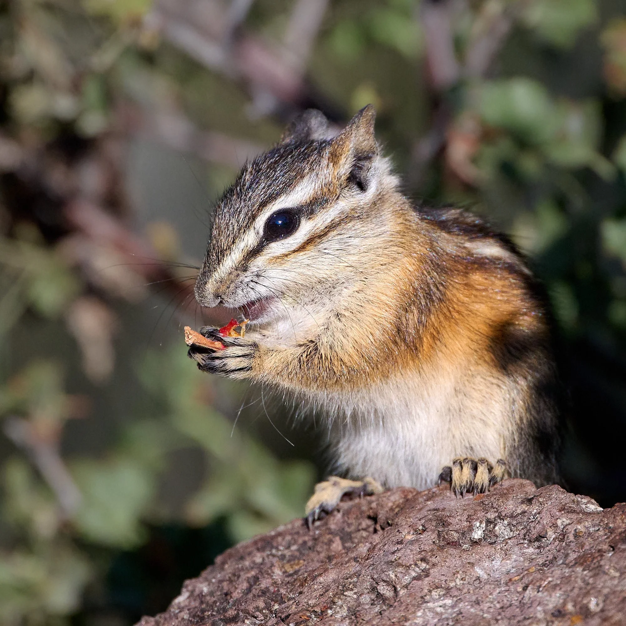
Least chipmunk eating rose hip: Hart Mountain, Oregon
Malheur National Wildlife Refuge & Steens Mountain
Malheur NWR is located in southeastern Oregon’s high desert, at the northern end of the Great Basin. It is adjacent to Steens Mountain, from which the Donner ünd Blitzen River flows into the Refuge’s southern boundary. The Refuge is famous for spectacular concentrations of wildlife, which are attracted to the Refuge’s habitats and abundant water resources in an otherwise arid landscape.
Steens Mountain (summit 9,738 feet above sea-level) is a large fault-block mountain, stretching some fifty miles north to south. The eastern flank drops precipitously for 4,200 feet to the Alvord Desert below.
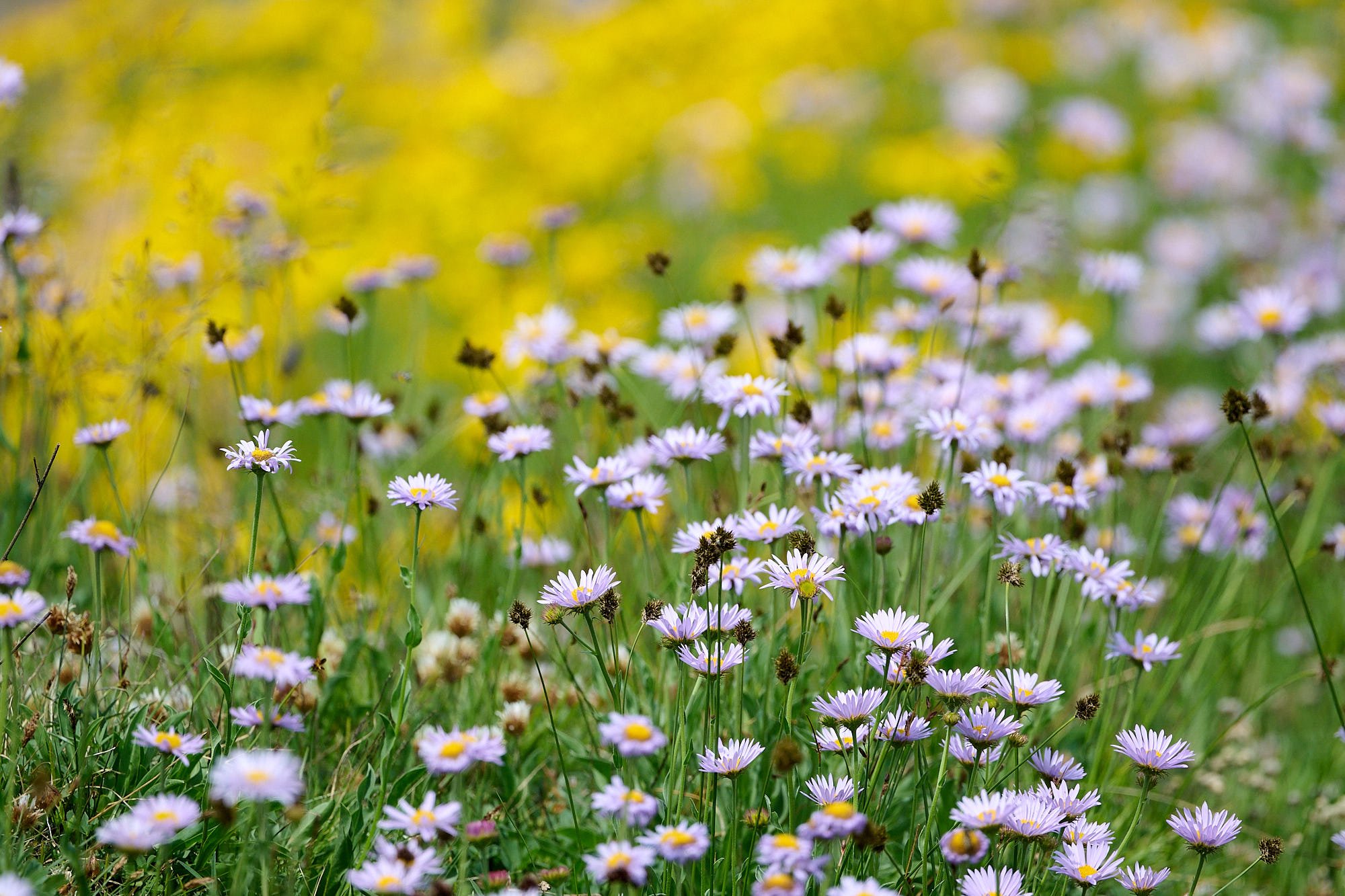
Sub-alpine wildflowers: Steens Mountain, Oregon
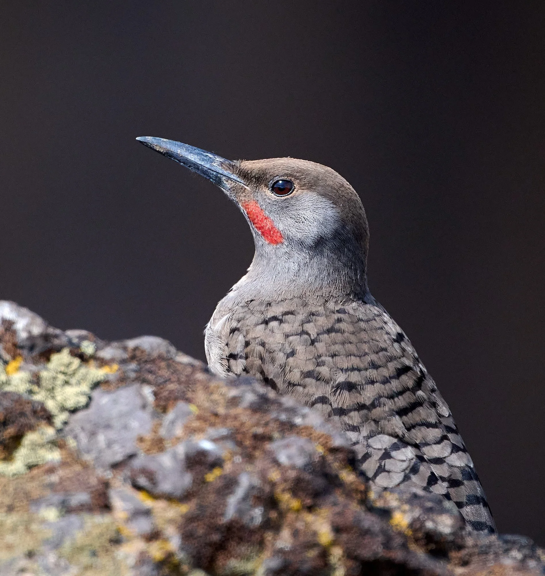
Northern Flicker: Steens Mountain, Oregon
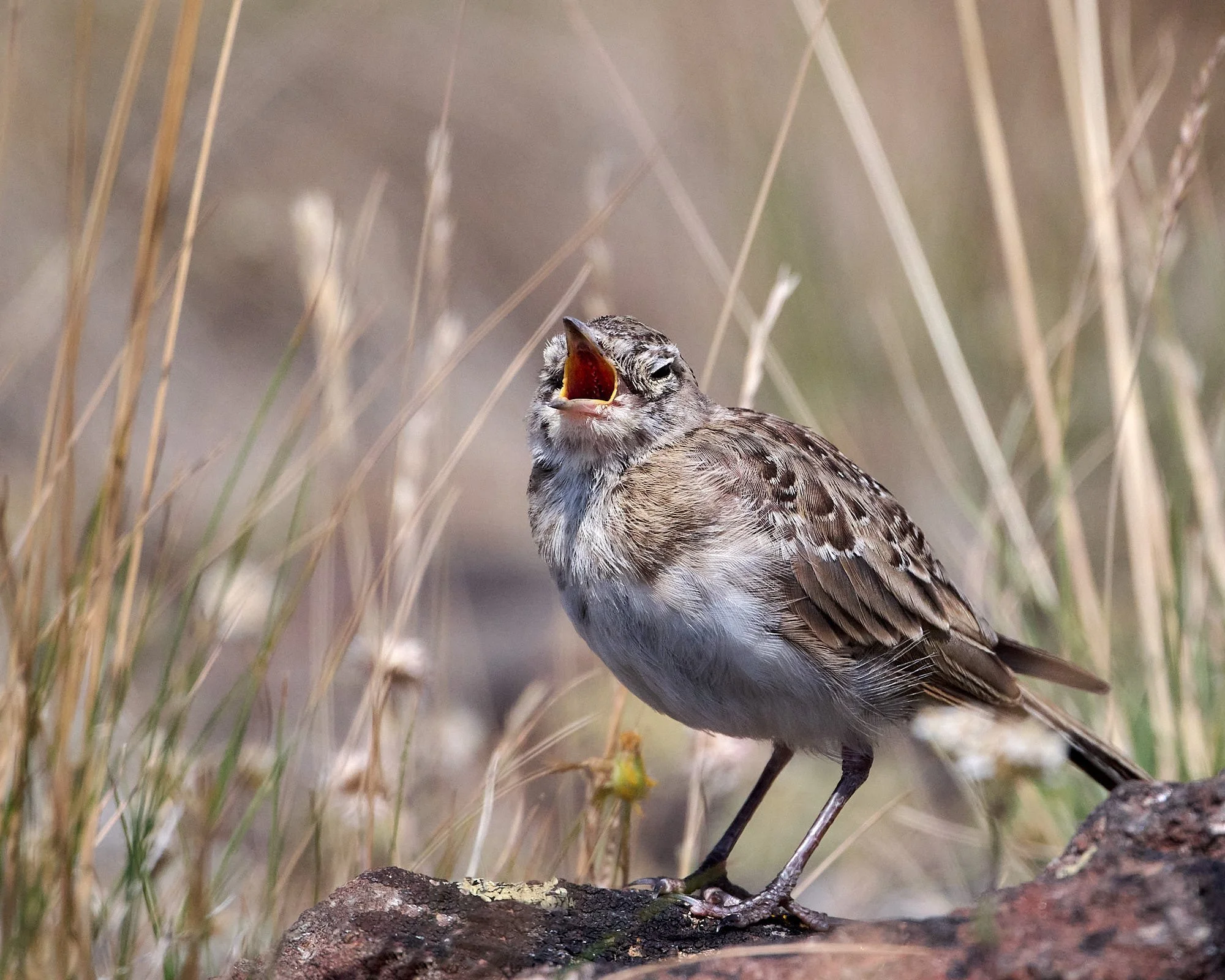
Hungry juvenile Horned Lark: Steens Mountain, Oregon
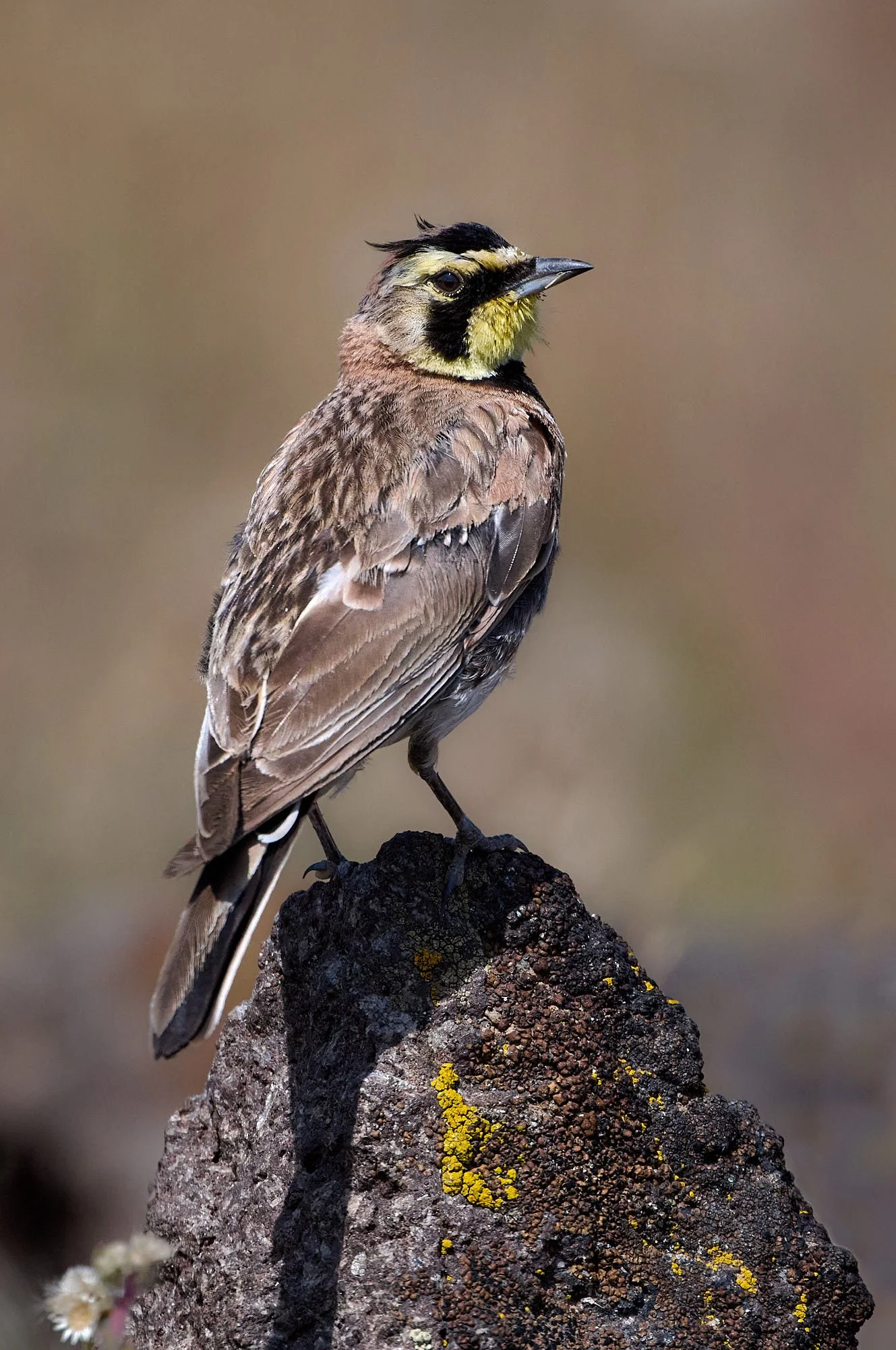
Horned Lark adult in attendance: Steens Mountain, Oregon
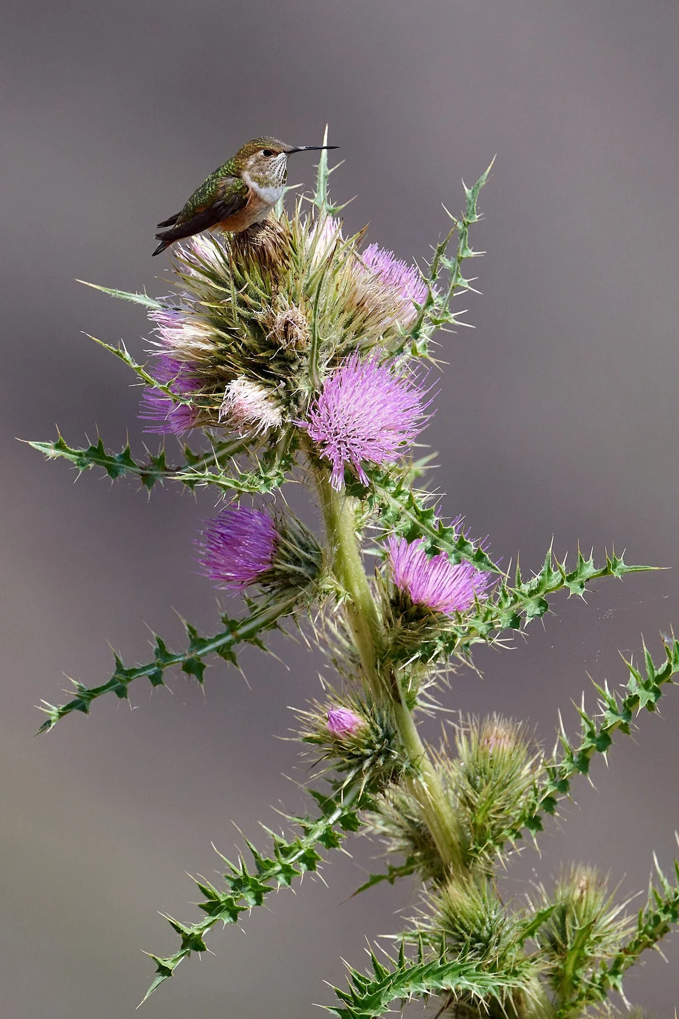
Rufous Hummingbird on Cirsium peckii, the Steens Mountain thistle, a prickly perennial endemic to the Great Basin.
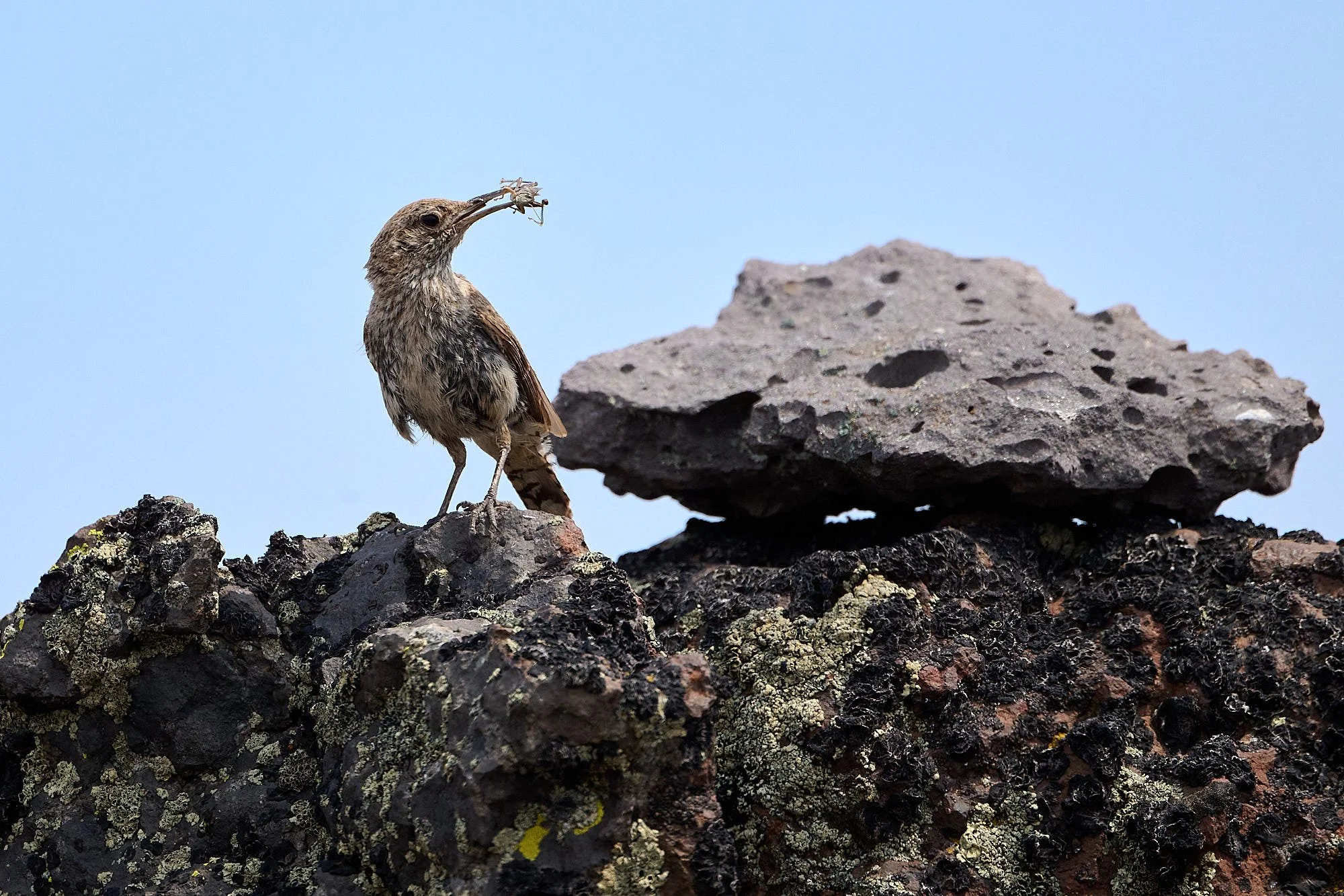
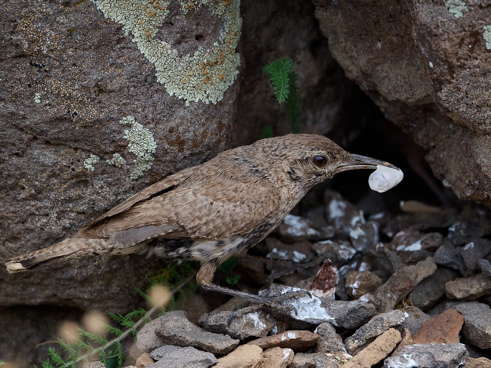
Rock Wren with grasshopper for the nestlings: Steens Mountain, Oregon
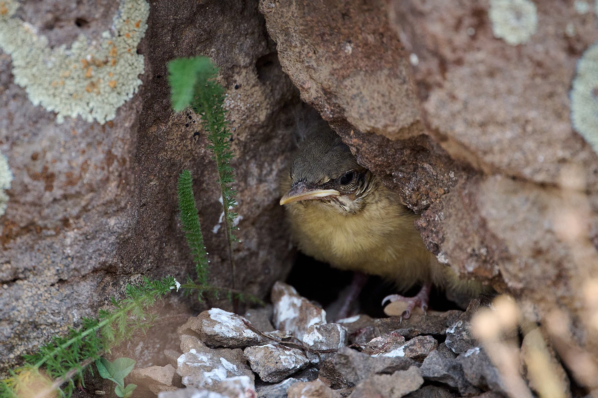
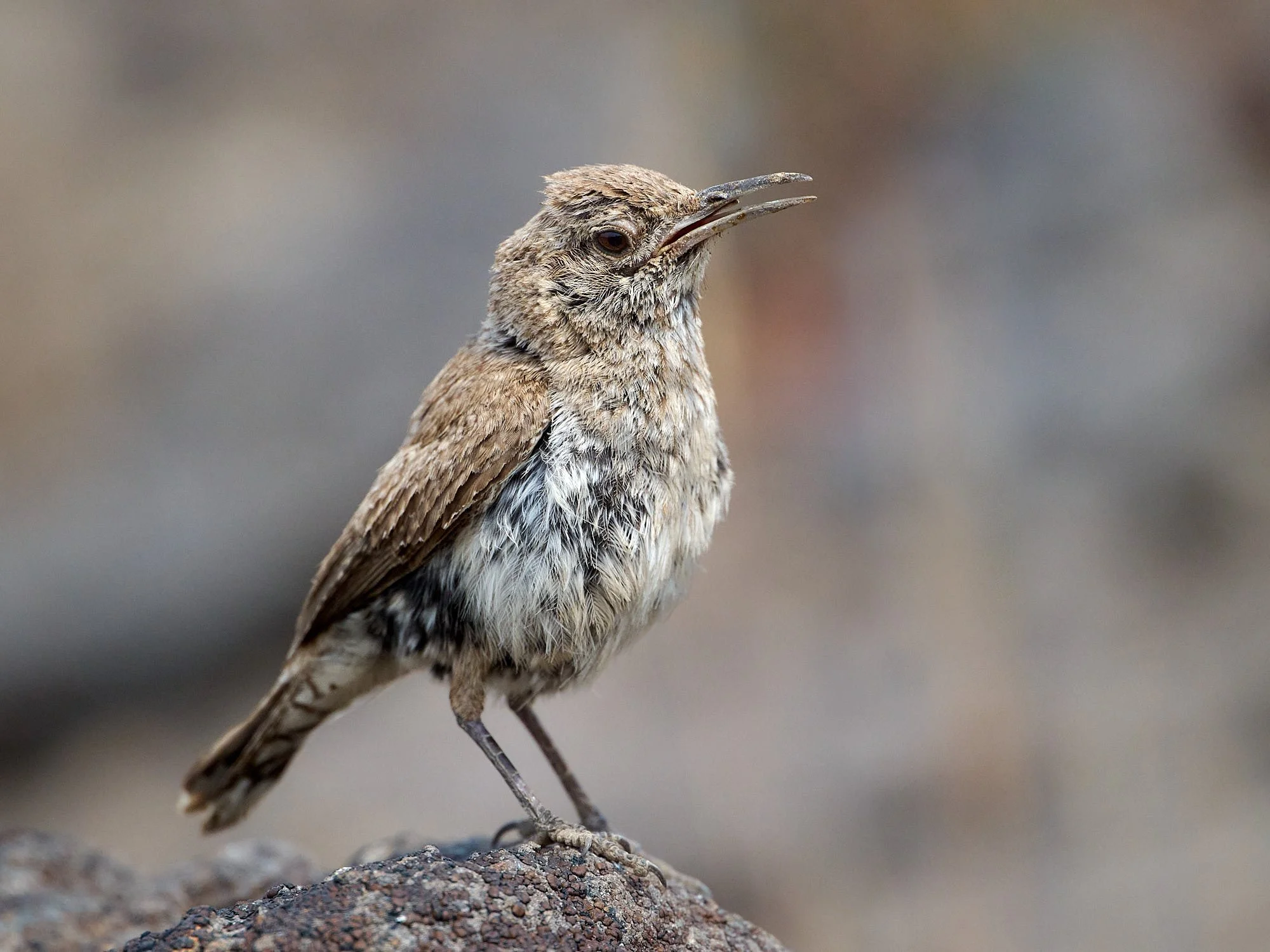
Rock Wren youngster. There were two others further back in the hole. Adults often build a walkway of small, flat stones or pebbles that leads to the nest cavity, and extends inside the cavity. Rocks may be stacked at the cavity entrance and help keep the nest cup dry, and by reducing the size of the cavity opening, rocks likely provide protection from predators.
Removing fecal sac from the nest
Parental duties can be hard on the body. Incubation is by female alone, but male observed to sporadically feed incubating female.
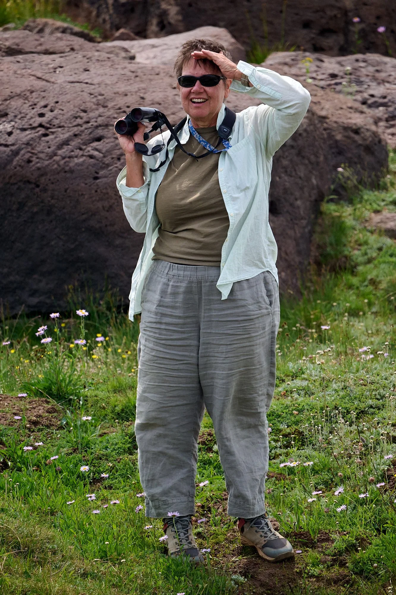
Bird watching: Steens Mountain, Oregon
Donner ünd Blitzen Wild and Scenic River
Originating on the western slopes of the Steens Mountains in remote southeast Oregon, the Blitzen River and its many tributaries flow 91 miles northwest to the nearby Malheur National Wildlife Refuge. The snow- and spring-fed rivers cut through dramatic canyons before passing onto the flat open wetlands of the Refuge where there is no outlet. In 1864, an Army commander who, when forced to cross the river during a thunderstorm, named the river Donner ünd Blitzen, which is German for thunder and lightning.
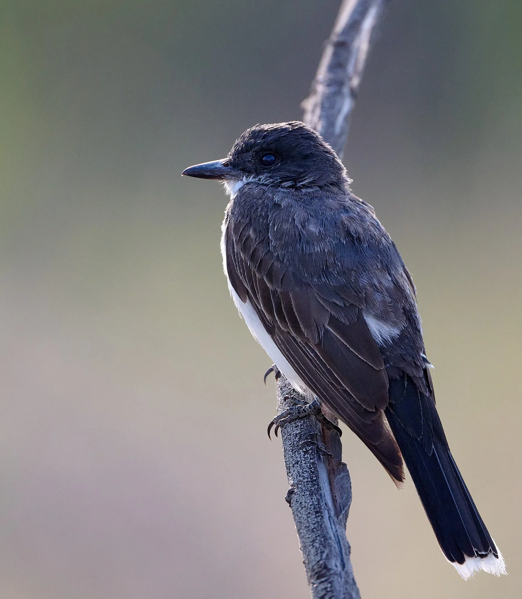
Eastern Kingbird: Malheur NWR, Oregon
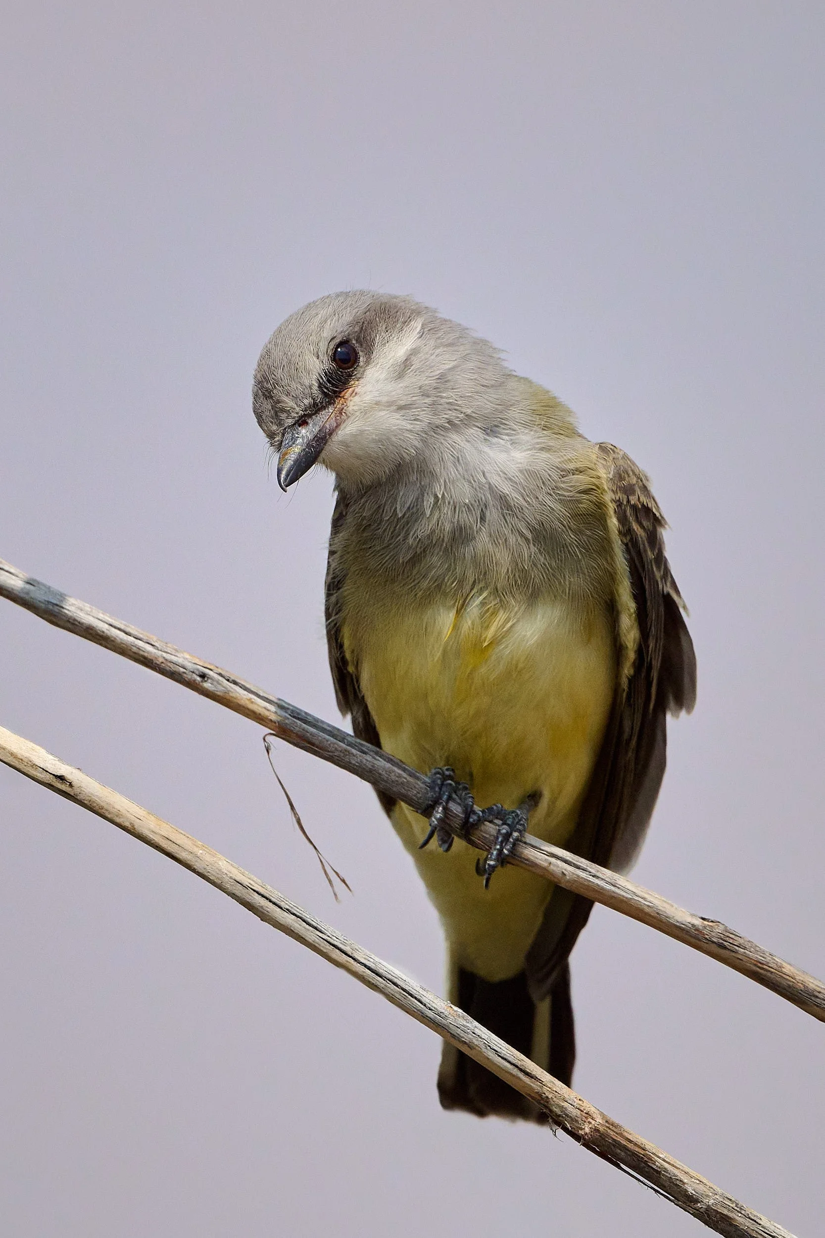
Western Kingbird, Malheur NWR, Oregon

Northern Shoveler, female: Malheur NWR, Oregon
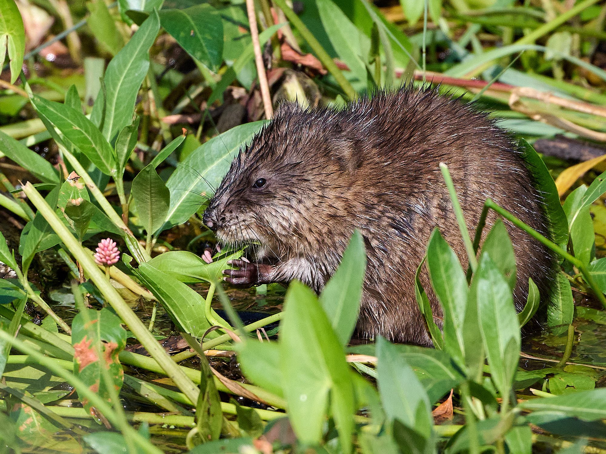
Muskrat: Malheur NWR, Oregon
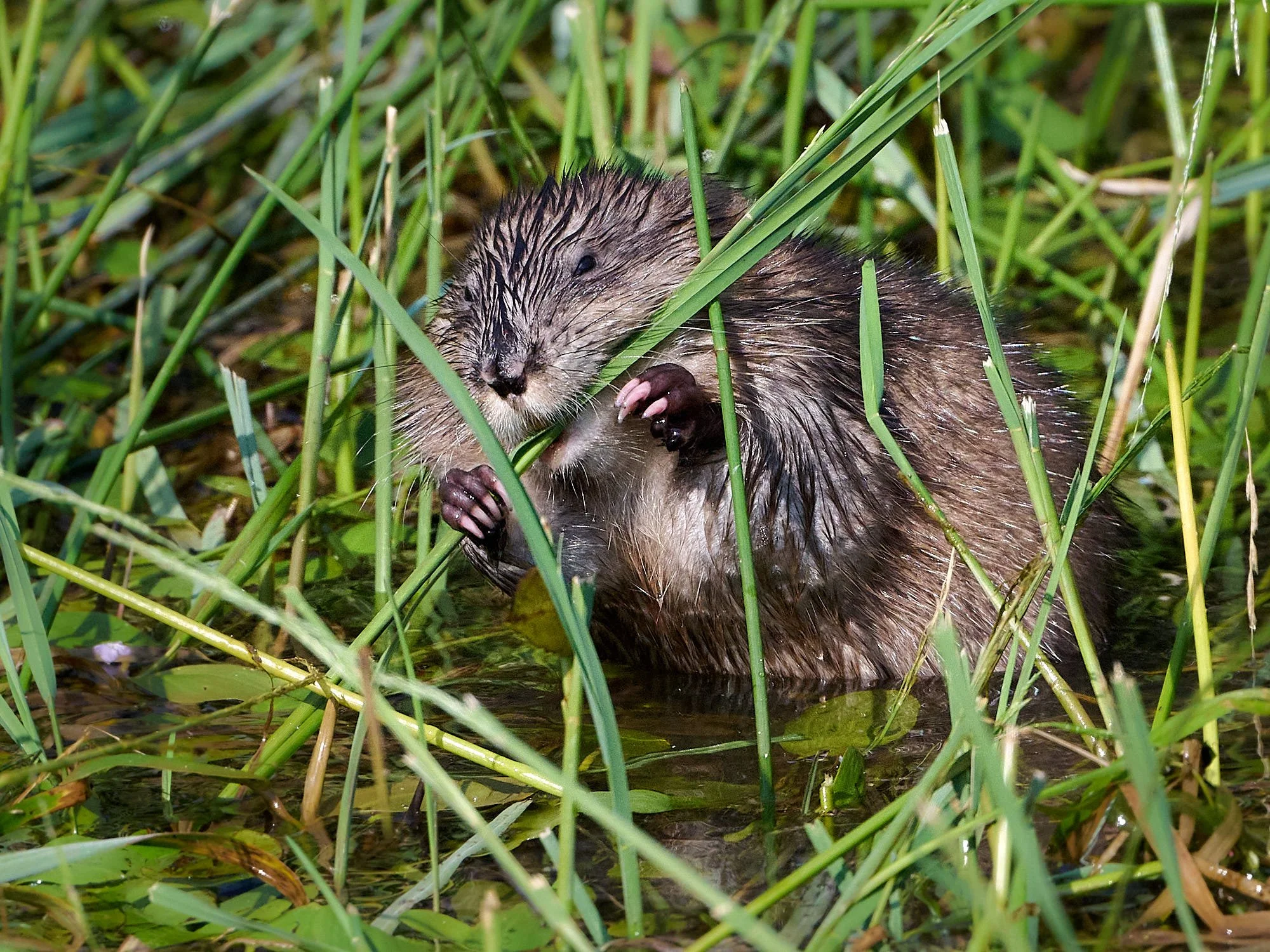
Muskrats spend most of their time in water and are well suited to their semiaquatic life. They can swim underwater for 12 to 17 minutes. Their bodies, like those of pinnipeds, are less sensitive to the buildup of carbon dioxide than those of most other mammals. They can close off their ears to keep water out. Their hind feet are webbed and are their primary means of propulsion. Their tail functions as a rudder, controlling the direction they swim.
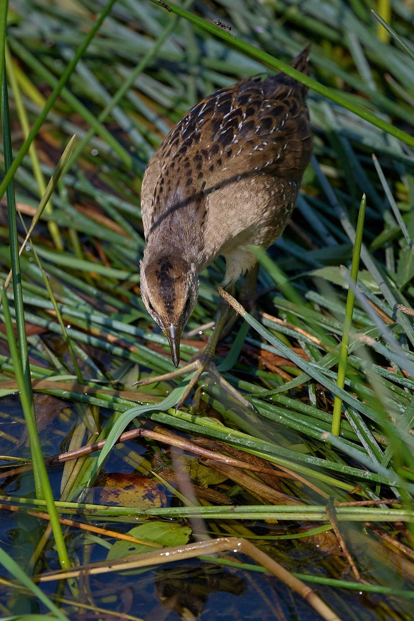
Sora, juvenile: Malheur NWR, Oregon
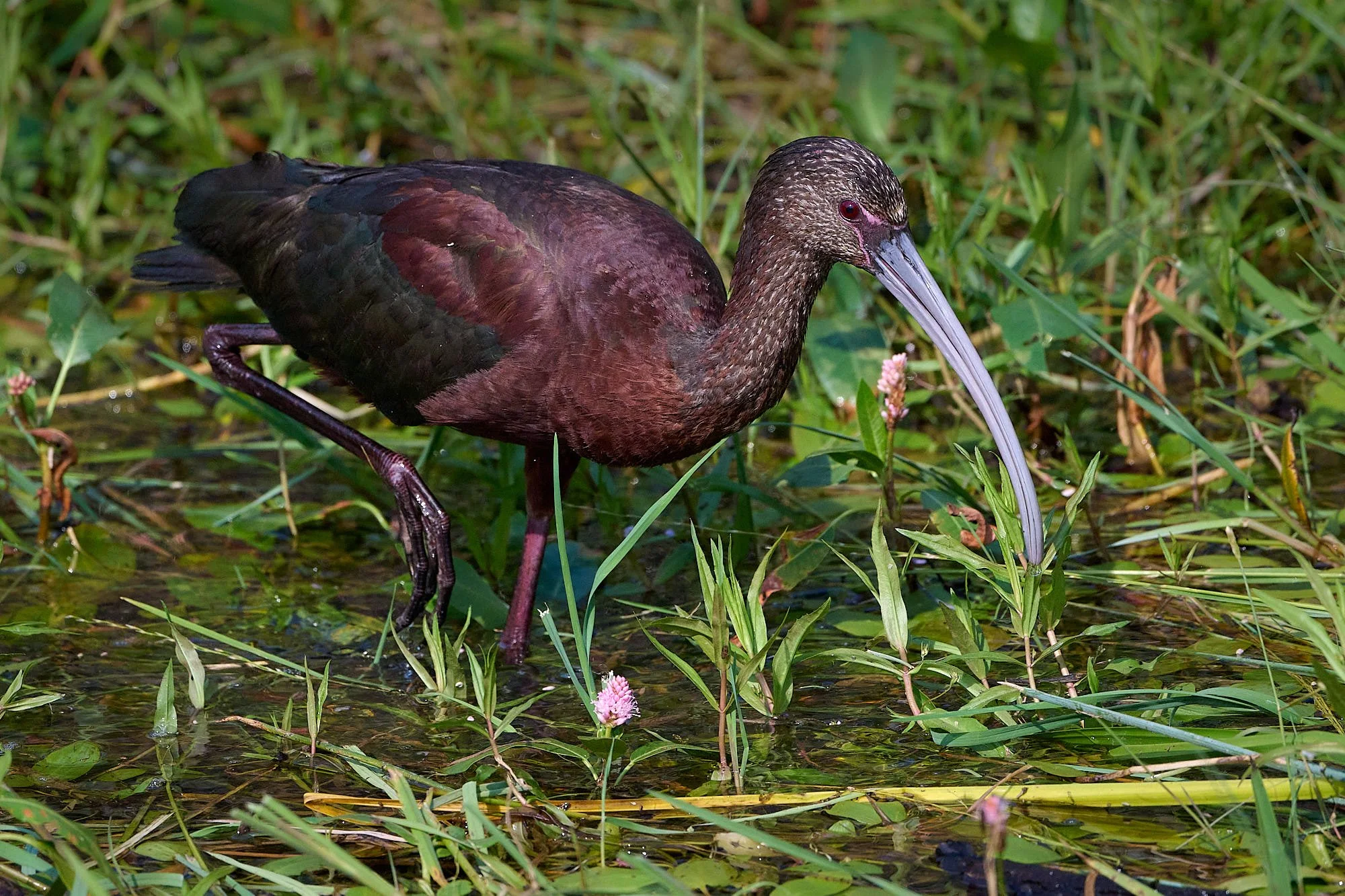
White-faced Ibis, non-breeding plumage: Malheur NWR, Oregon
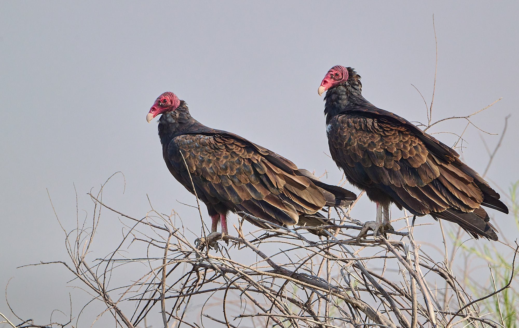
Turkey Vultures waiting for thermals to develop: Malheur NWR, Oregon
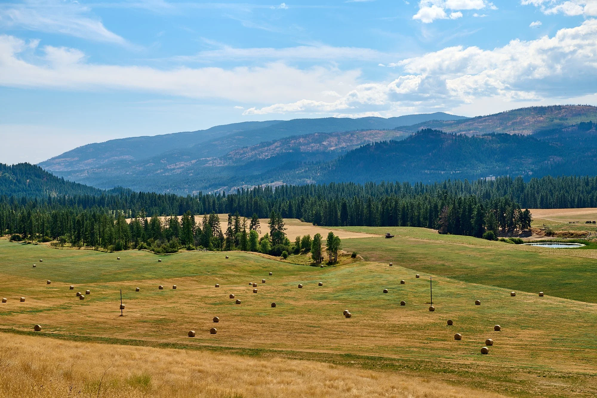
Wheat fields: Palouse region, Washington
Friendship: Society’s glue
Proceeding north from Malheur NWR, we skirted several wildfires to reach Oregon's Blue Mountains in the Umatilla National Forest. From there, we dropped to lower elevations and entered Washington State a little east of Walla Walla. Our destination was a ranch near Troy ID, where we had a lovely visit with friends.
The Idaho Panhandle has an impressive number of large freshwater bodies. We camped by the shores of Pend Oreille and Priest Lakes before heading eastward into Washington to the confluence of the Columbia and Kettle Rivers. We met up with long-time buddies and their family members and had laughter-filled days together.
After Kettle River, we journeyed eastward to the Methow Valley, spending over a week at Winthrop in the company of dear friends, and attending a fantastic birthday celebration. The North Cascade highway opened (it had been closed due to fire) and we transitioned to folk in the Puget Sound area (Seattle, Tumwater, Marrowstone Island), and lastly, Portland, OR.
It was truly wonderful to link up with everyone!
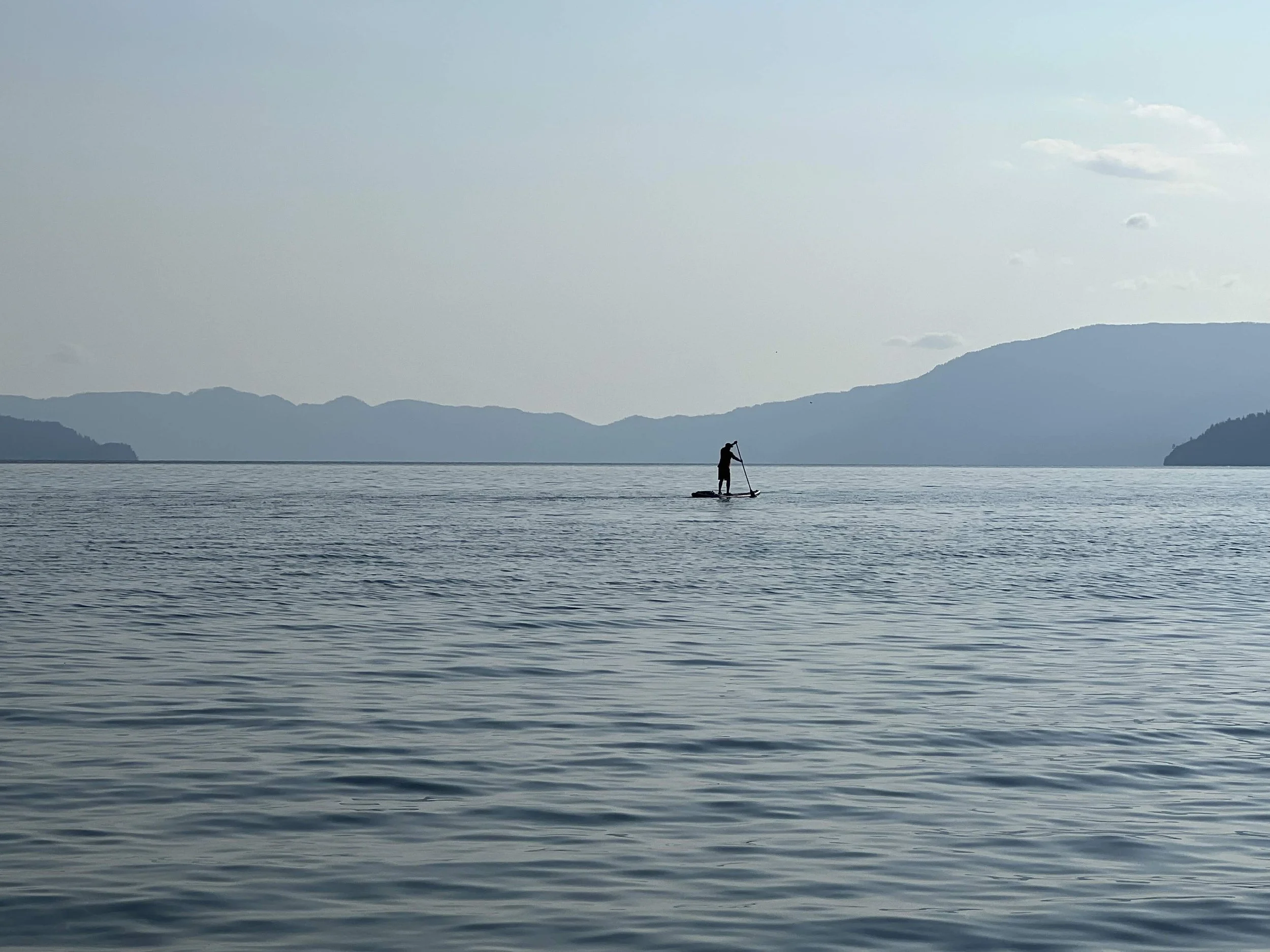
Stand Up Boarder on Lake Pend Oreille: Idaho
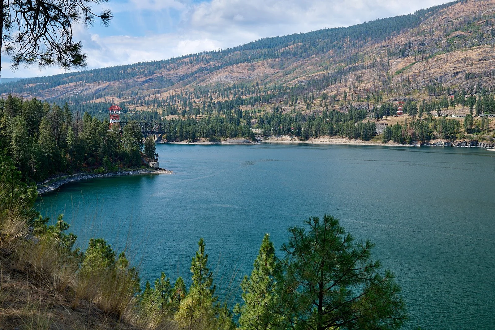
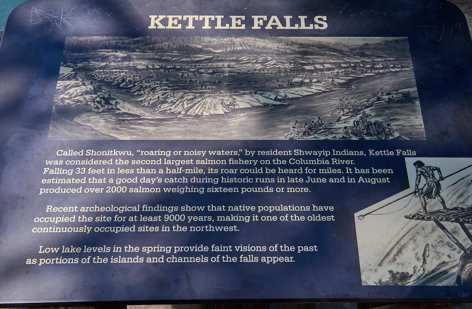
Roosevelt Lake, Columbia River: Washington State. Kettle Falls are located near the red tower. They lie placid and drowned at the bottom of the reservoir. Columbia's dams prevent salmon from migrating upstream to spawn.
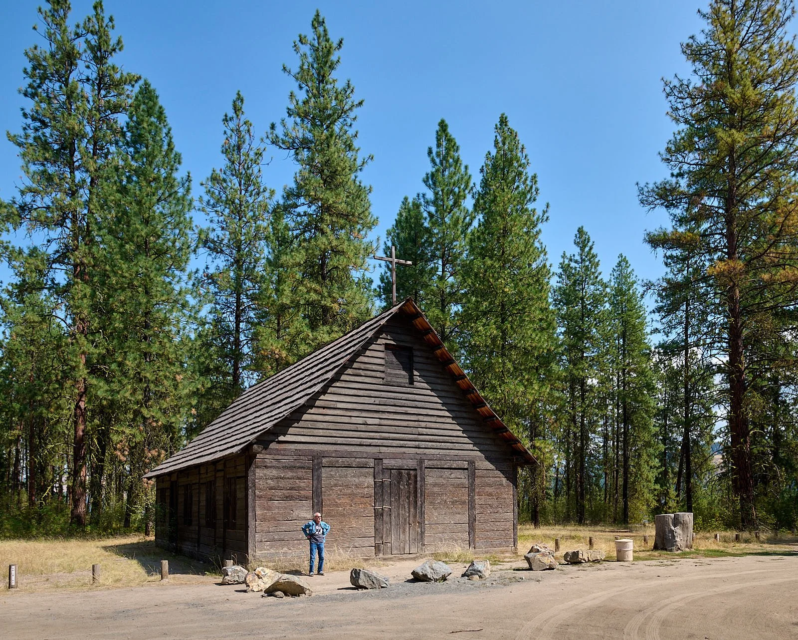
Saint Paul’s Mission
In 1845, aided by Indians from Kettle Falls, Father Anthony Rivalli built a small chapel of rough logs and brush. By 1847 that chapel had been replaced by a sturdy hand-hewn log church with priests’ quarters. The church was in regular use until the early 1880s. In 1939 the structure was restored to its present condition.
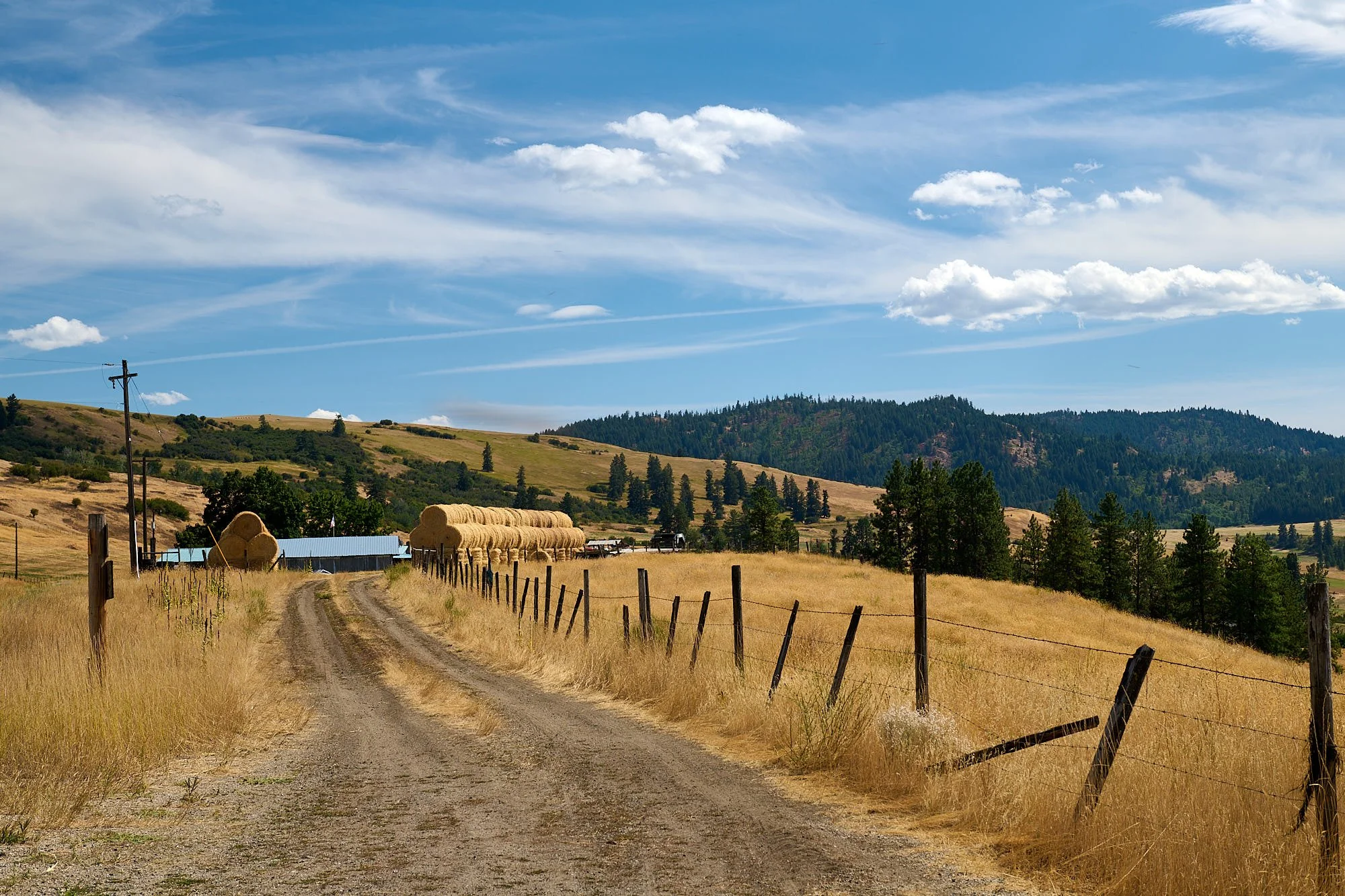
Farm overlooking the Kettle River
Kettle River: Washington State. The river's source is Holmes Lake in British Columbia.
A lake near our friend's family home: Ferry County, Washington State.
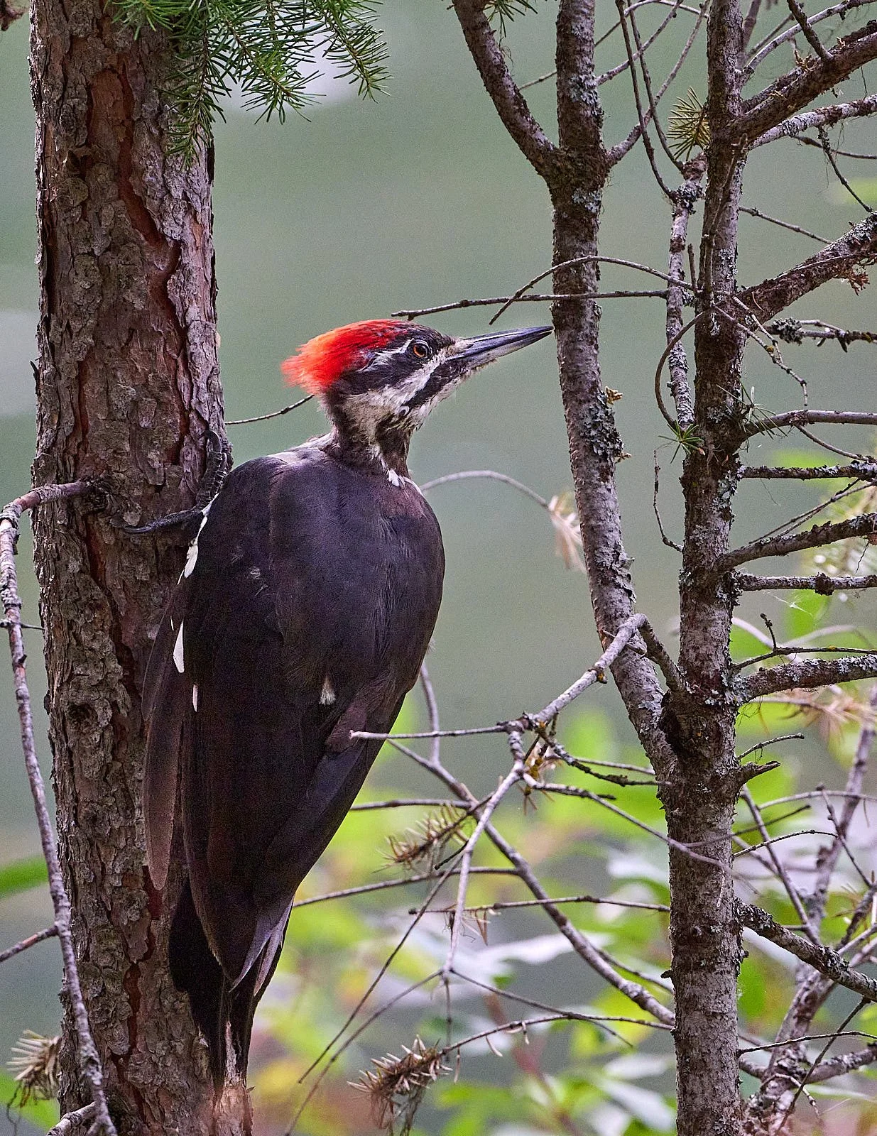
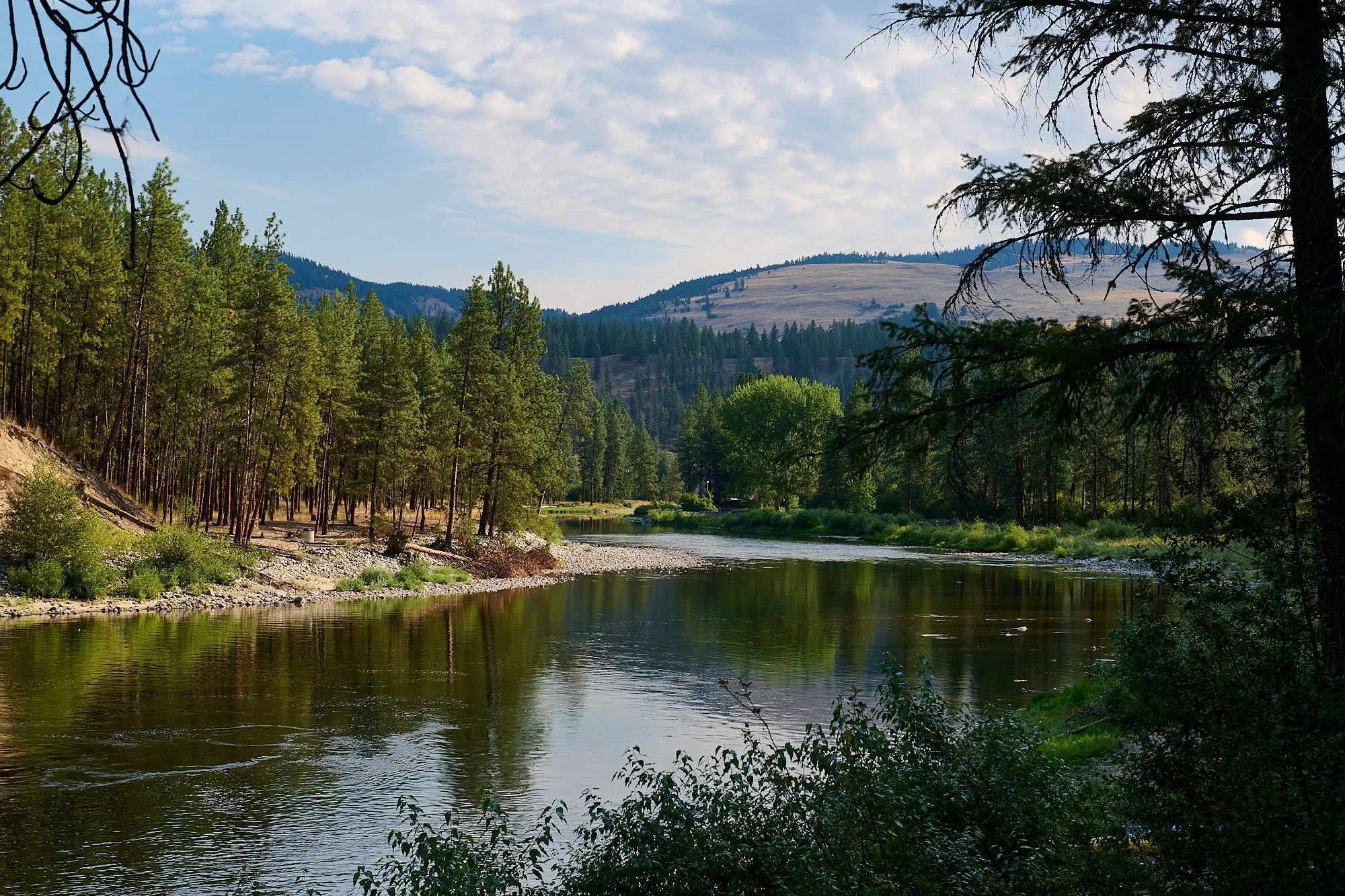
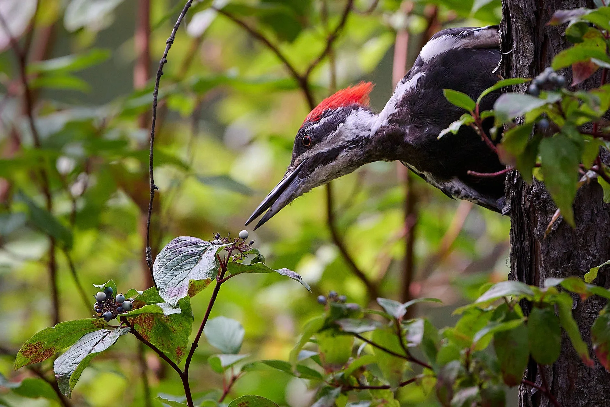
Pileated Woodpecker: Bonaparte Lake, Washington
It was berry season everywhere in Idaho and eastern Washington!
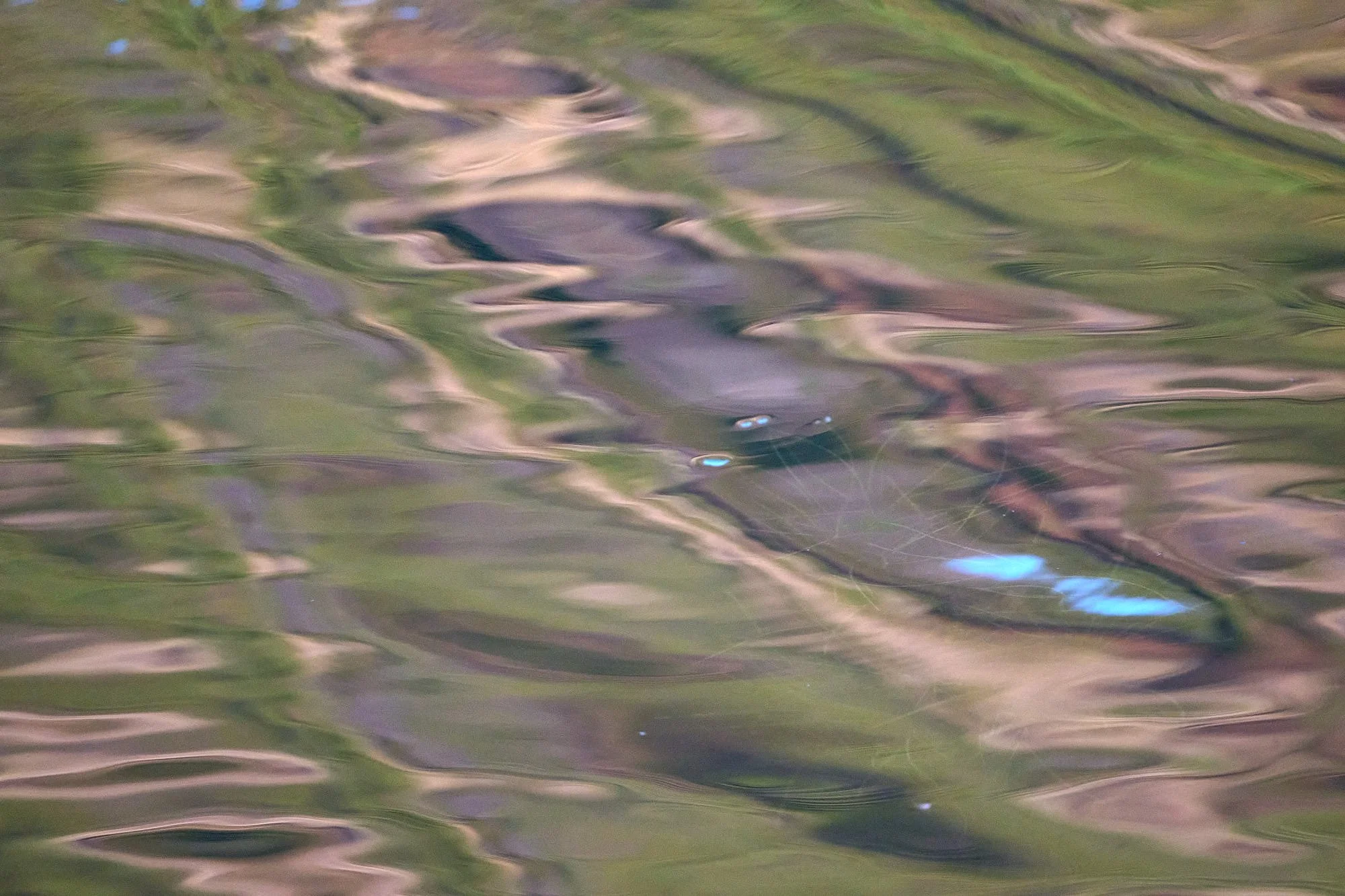
Early morning reflections on Bonaparte Lake
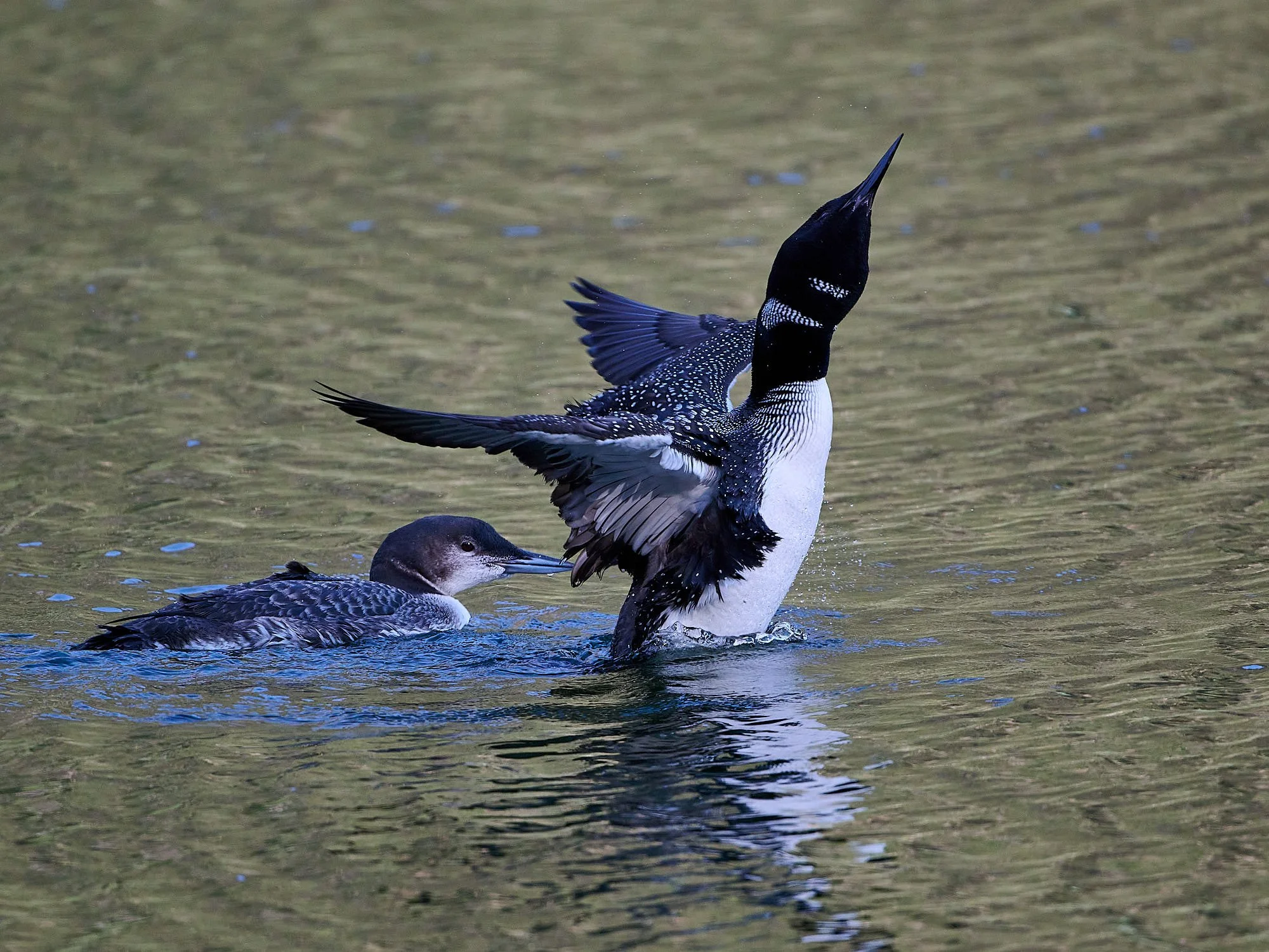
Common Loons breed at Bonaparte Lake

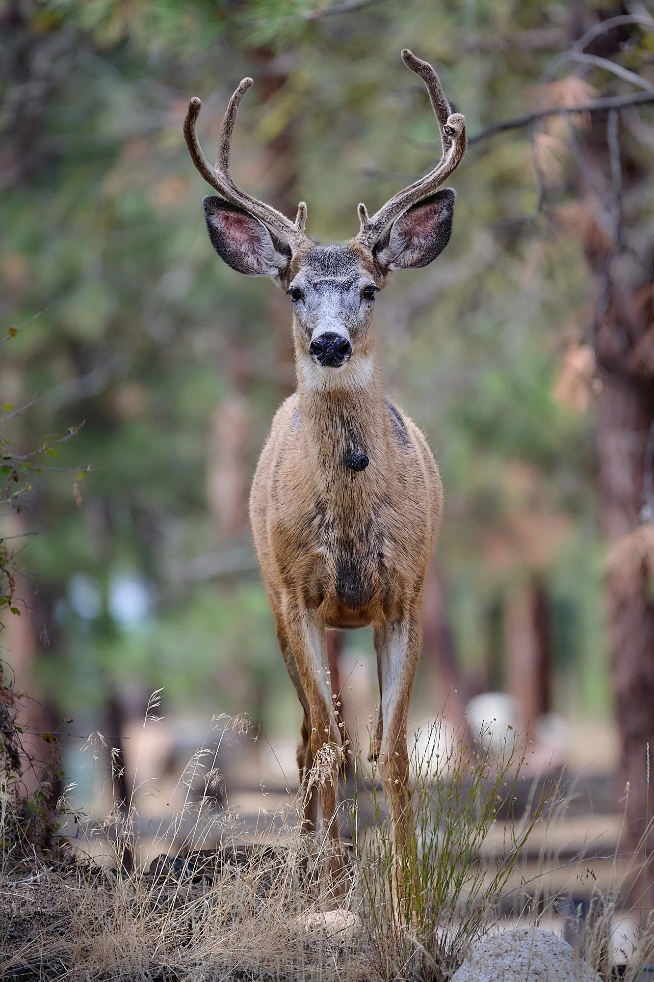
Mule deer: Winthrop, Washington

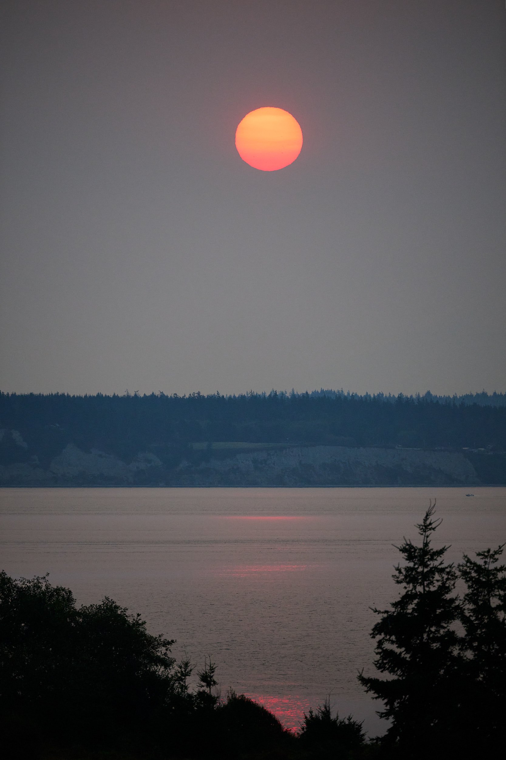
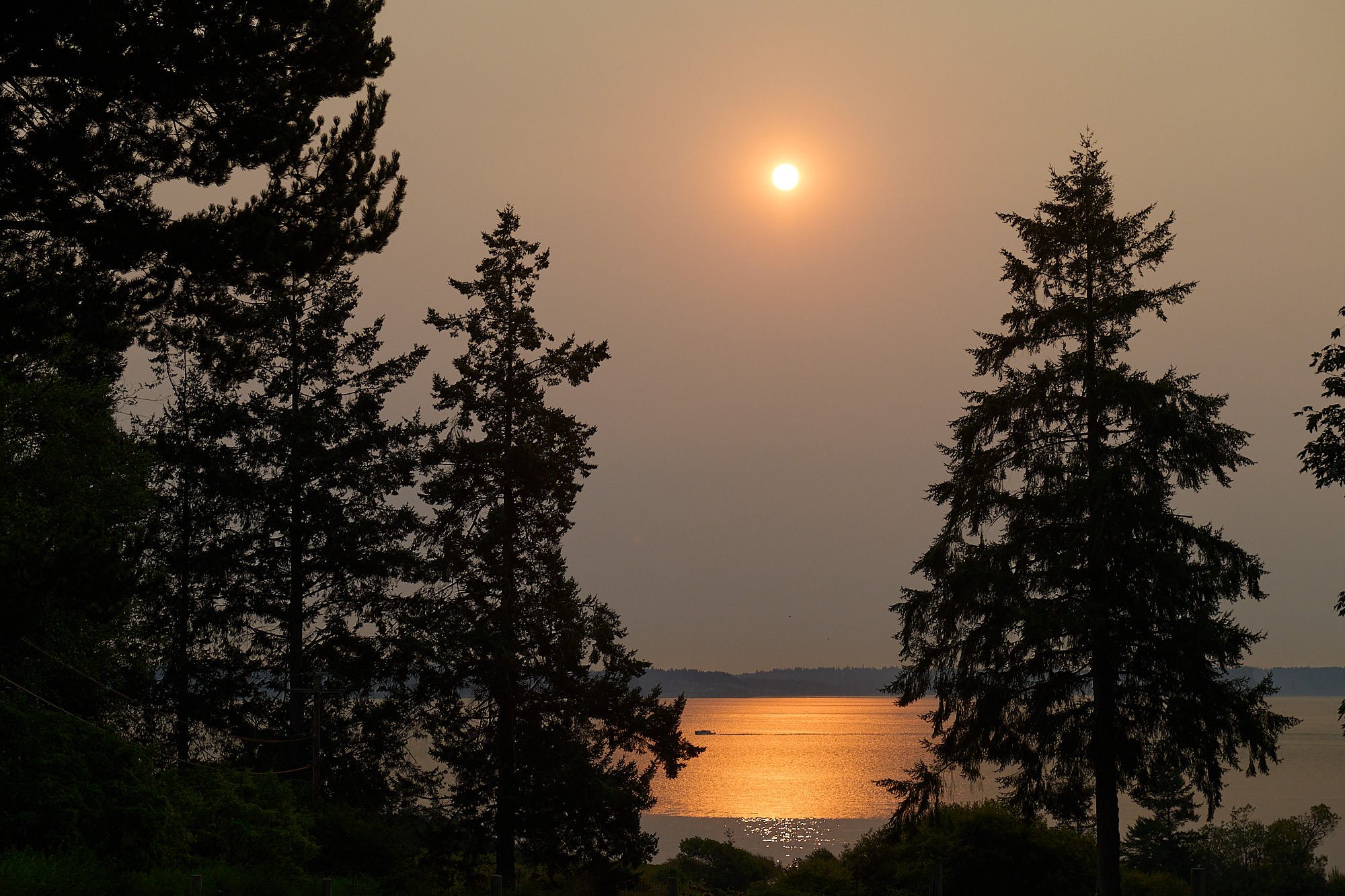
Puget Sound sunrise: Washington
The view from Marrowstone Island: Washington
Marys Peak
At 4,097 feet, Marys Peak is the highest mountain in Oregon’s coast range. It lies within the Siuslaw National Forest and has special status because of its scenic, botanical and recreational values. The lower elevation slopes of Marys Peak have typical coast range vegetation, however the higher elevation plant communities are unusual and include noble fir forest, Douglas fir forest, riprarian, grassland and rock garden. A primitive national forest campground has six sites.
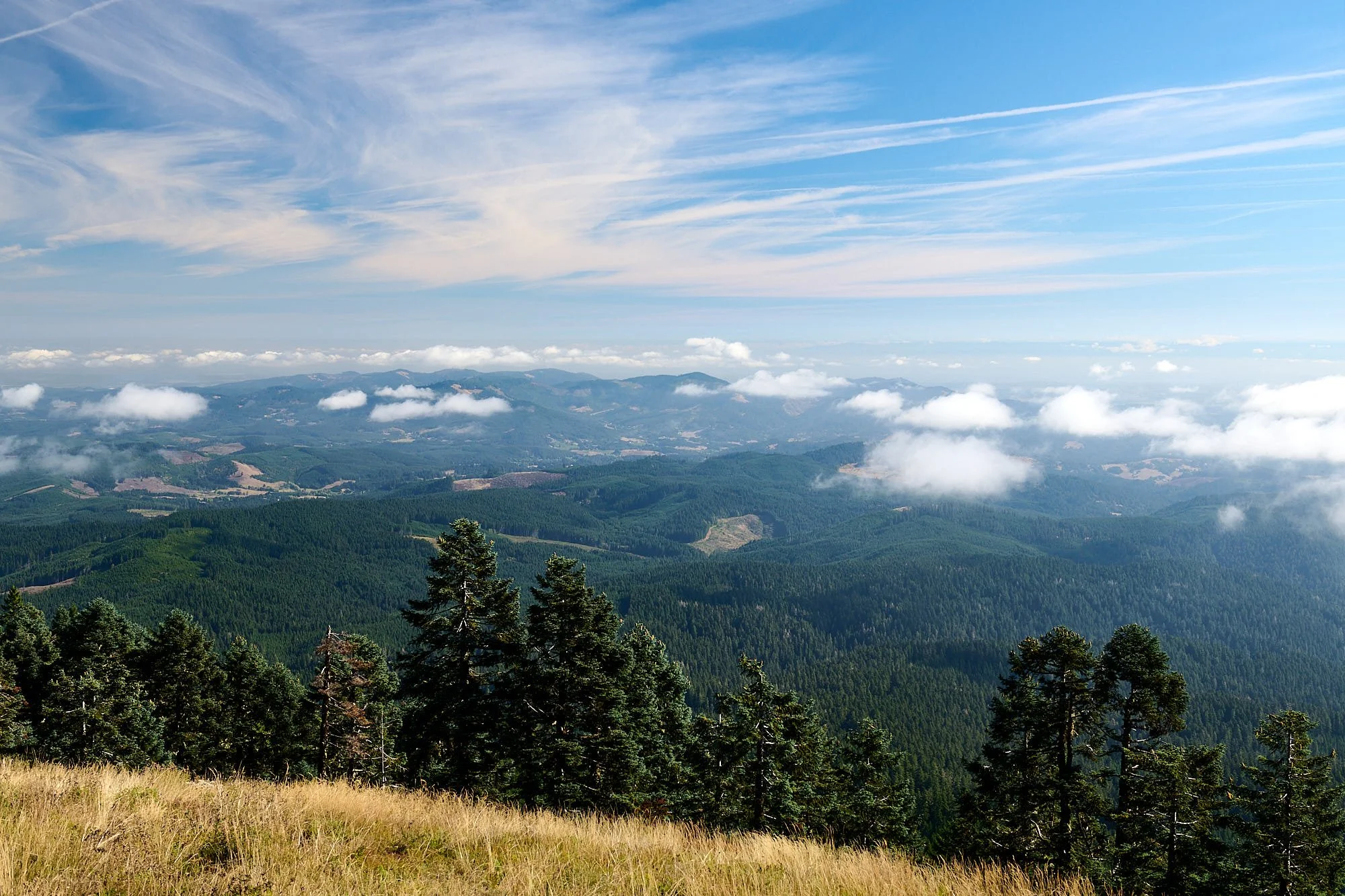
Looking northwest from Marys Peak: Oregon
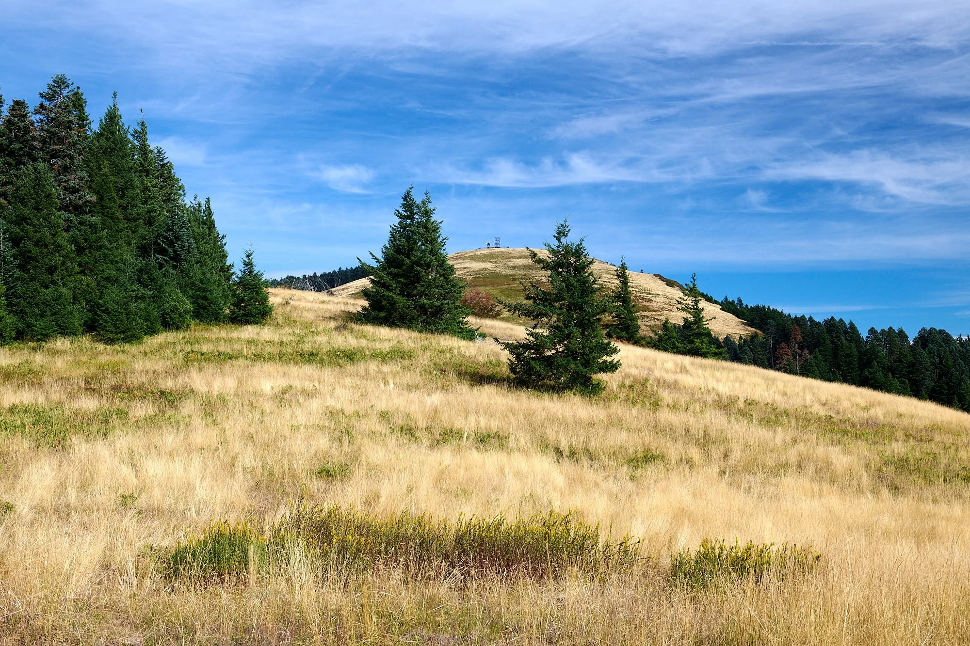
Communication tower marks the summit
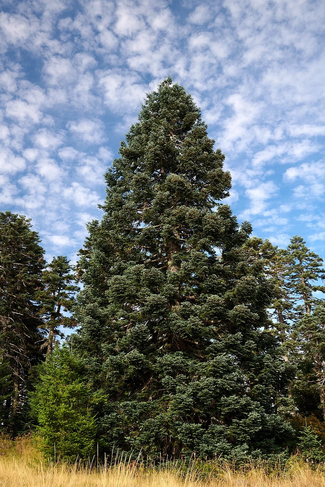
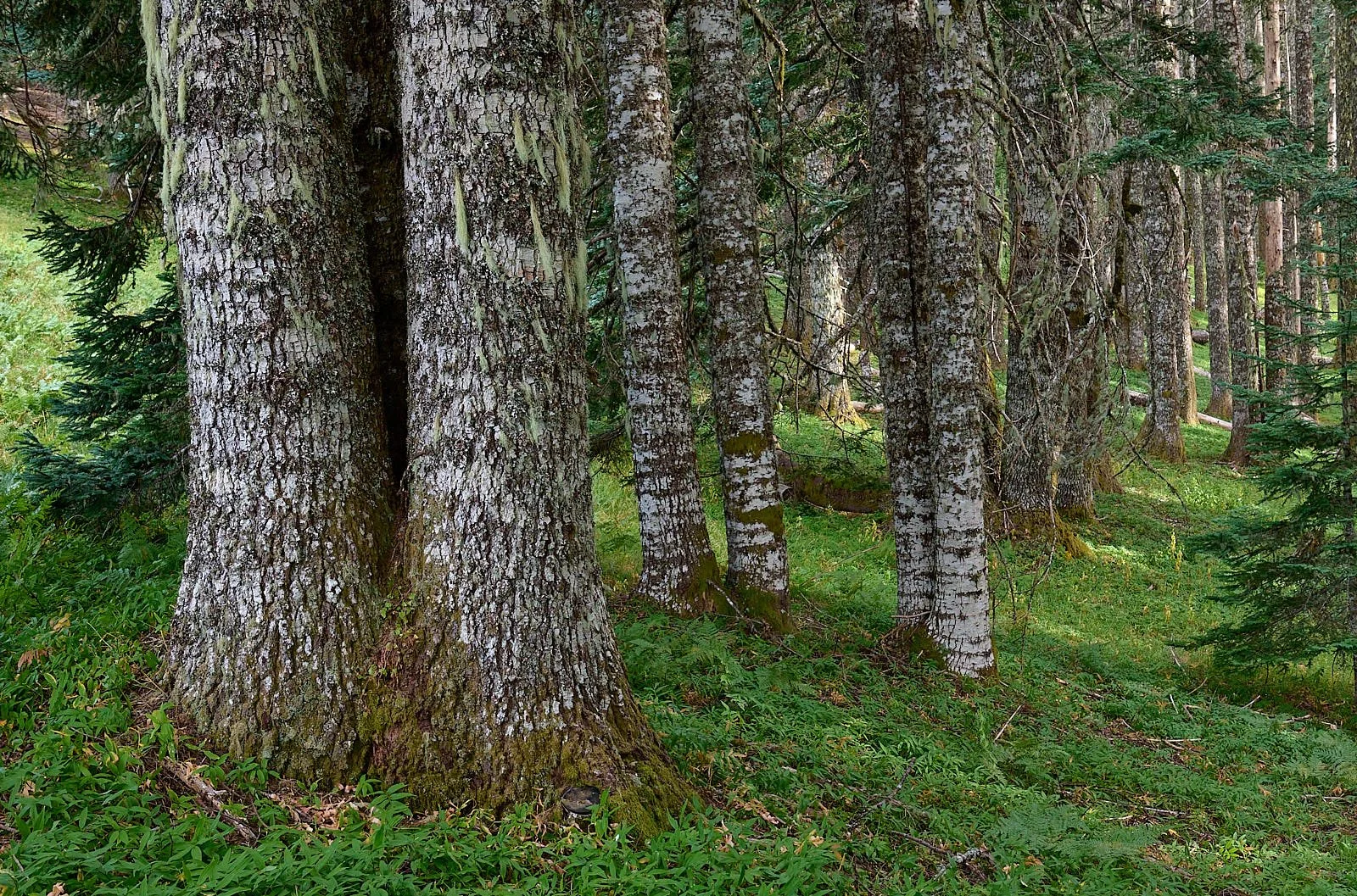
Near the summit, there is a splendid forest consisting almost entirely of noble firs

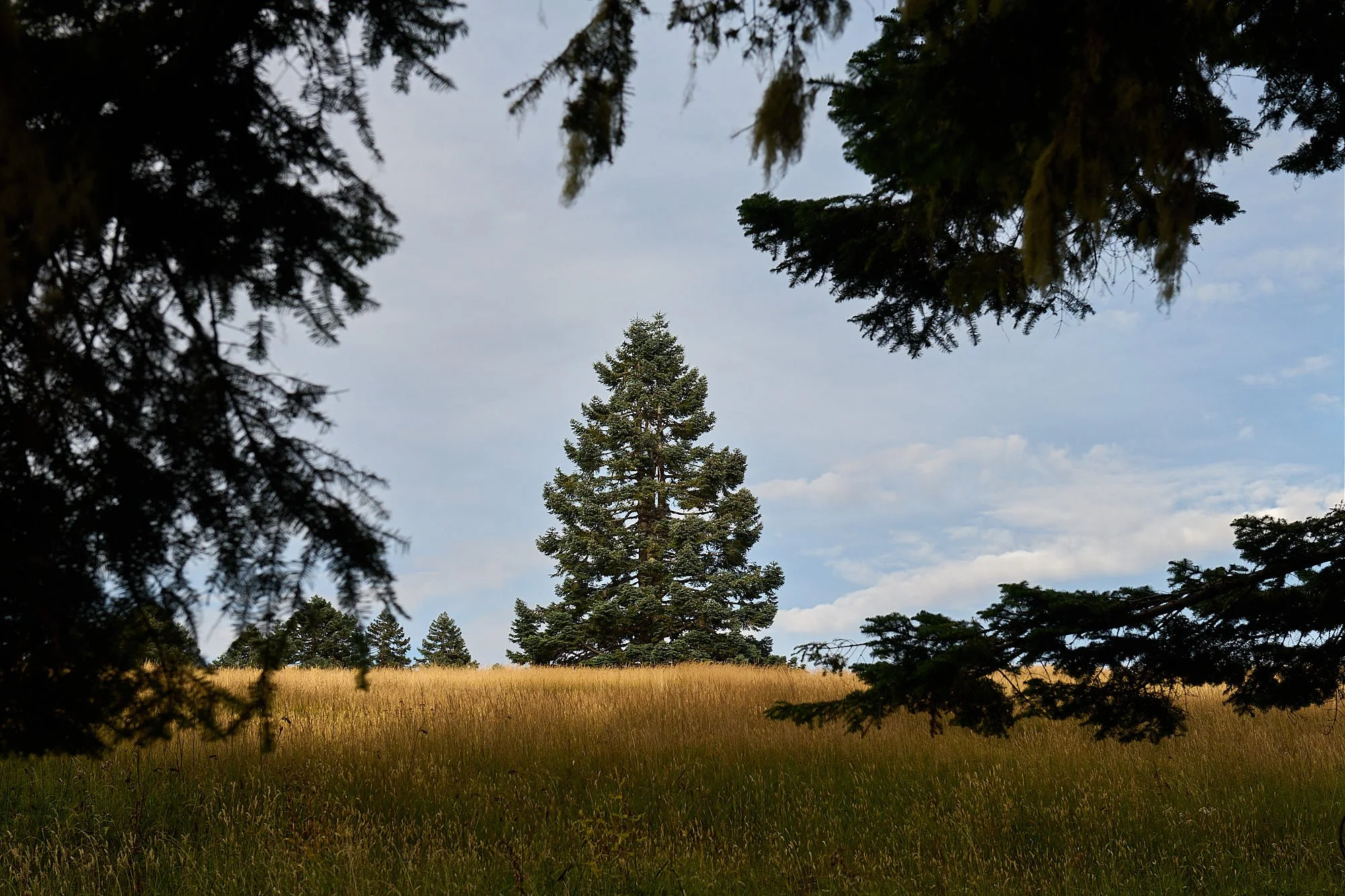
Extensive grasslands lie adjacent to the noble fir forest
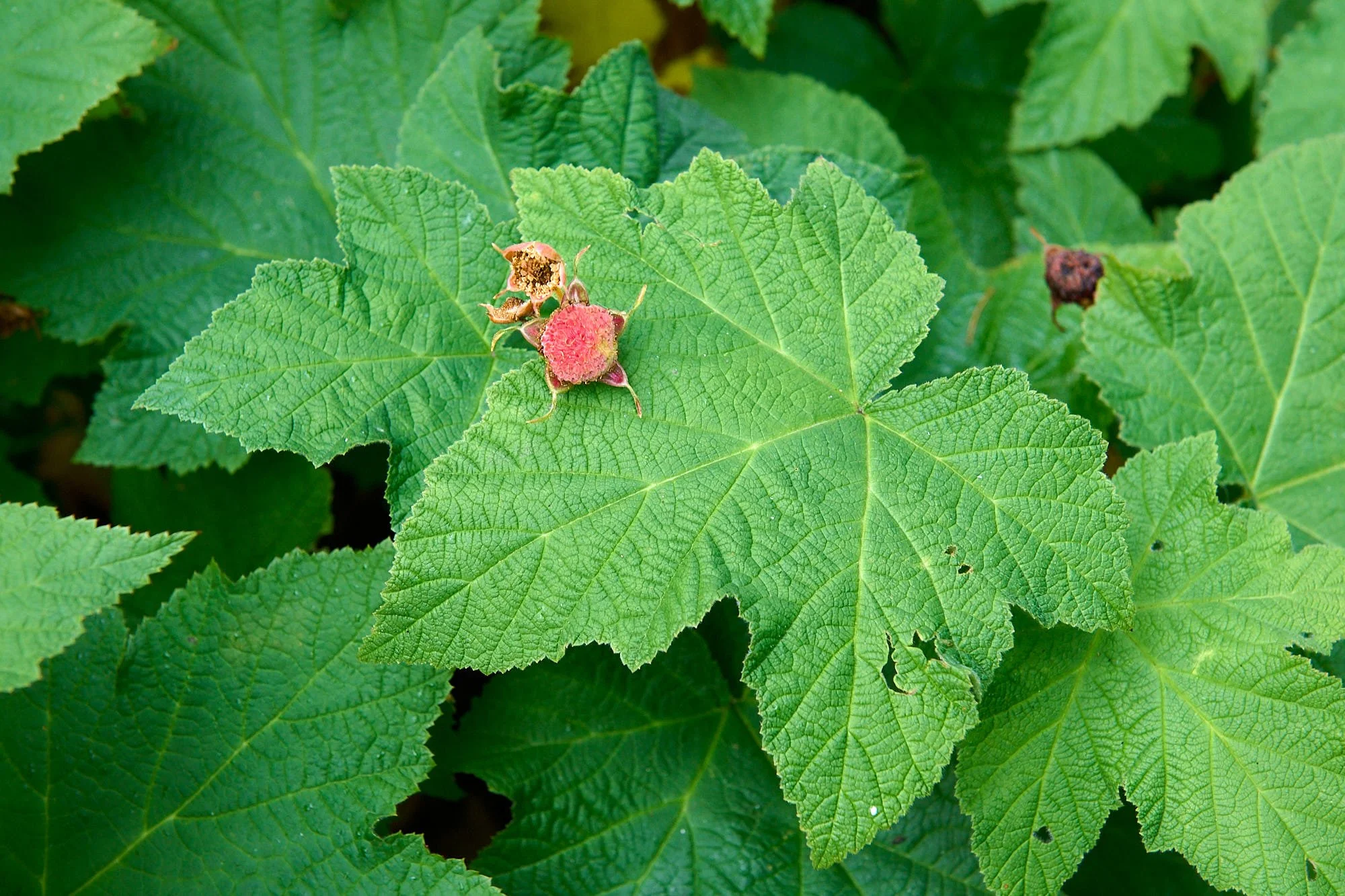
Thimbleberry
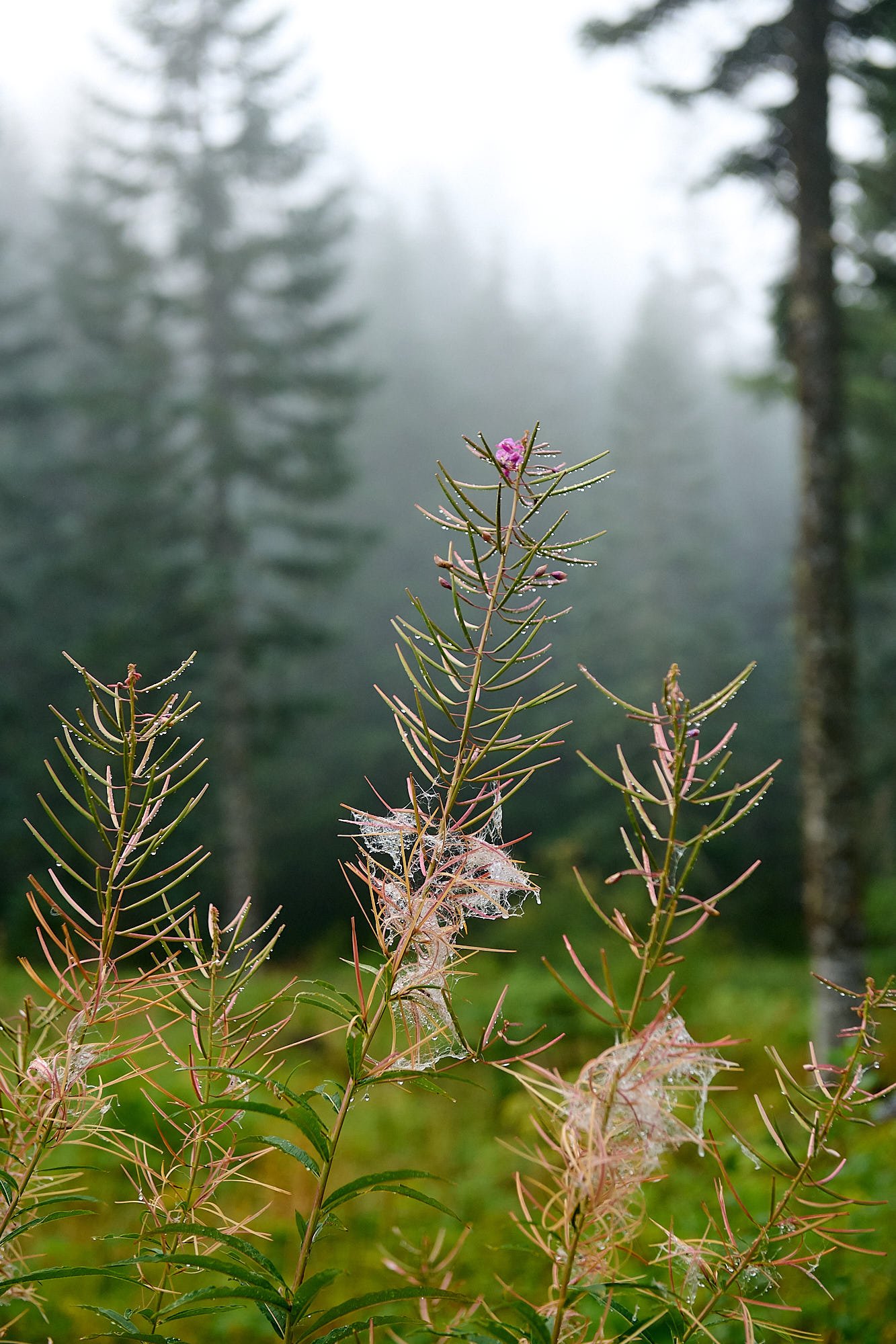
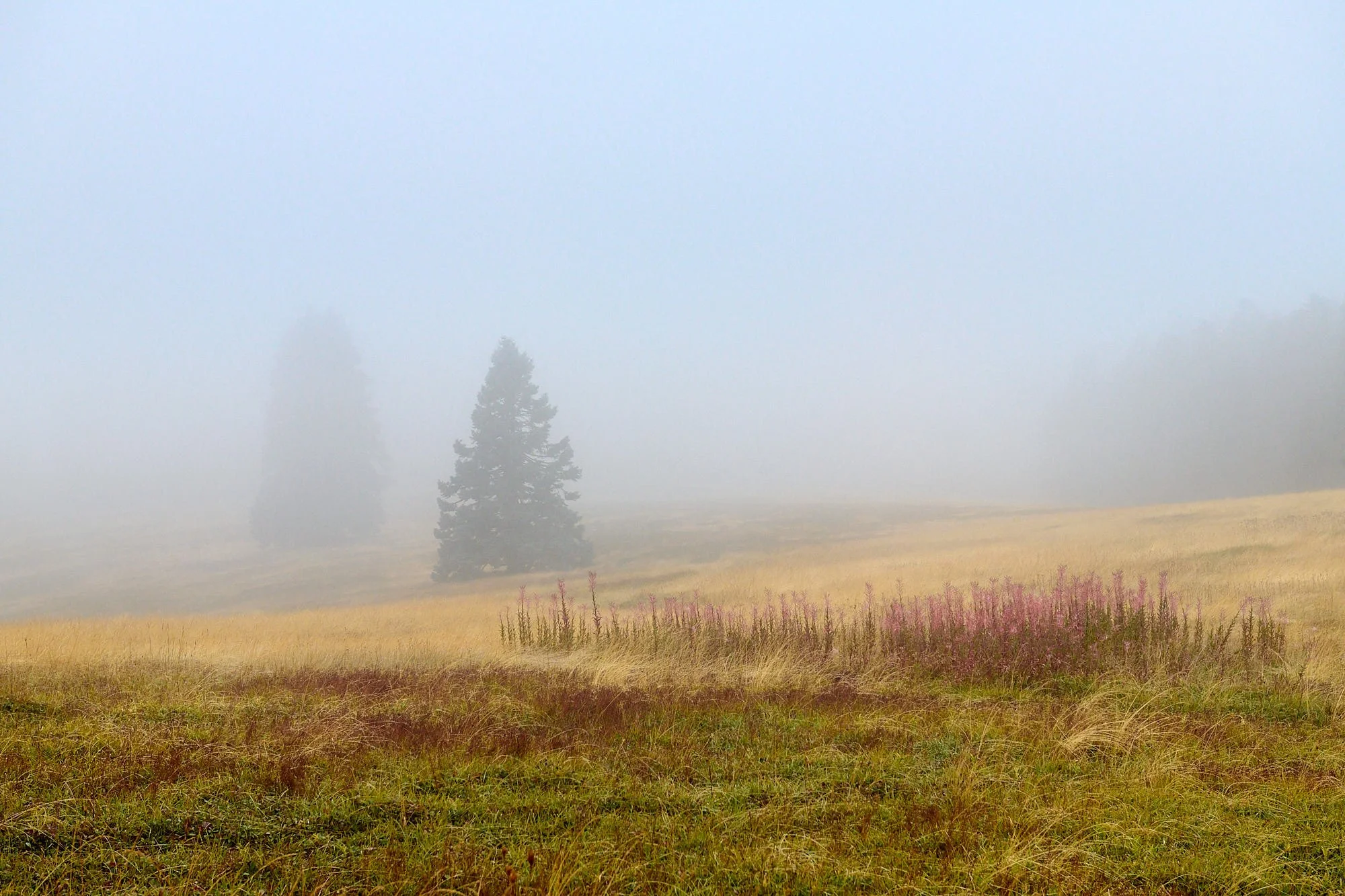
Late summer remnants of fireweed.
Wet gloom arrived during our stay at Marys Peak. Before that, the weather in the Northwest had been unusually warm and bright.
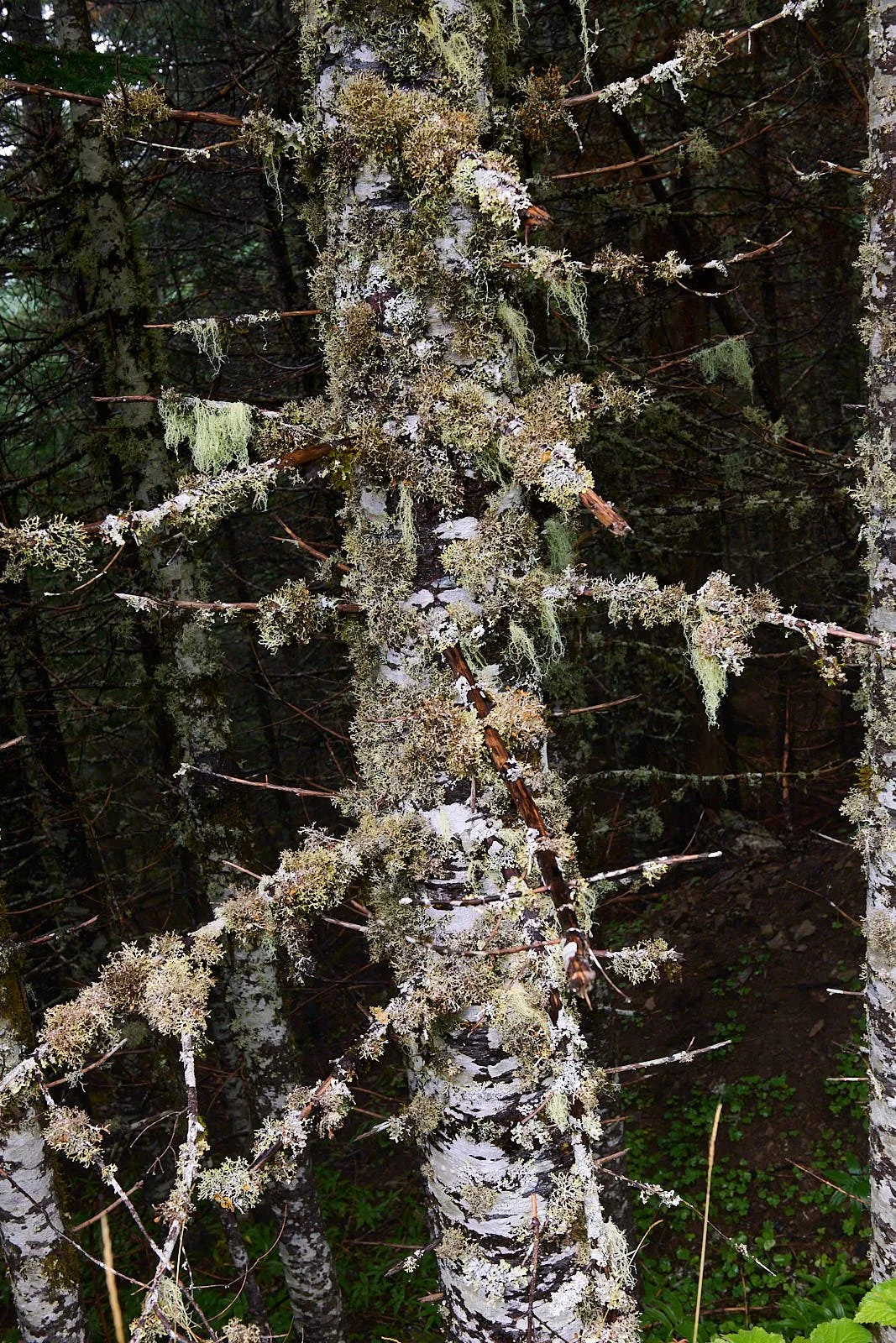
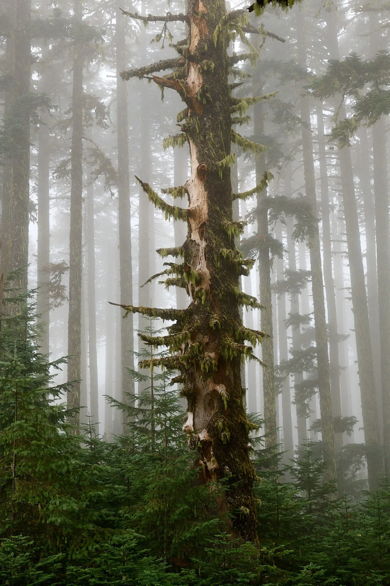
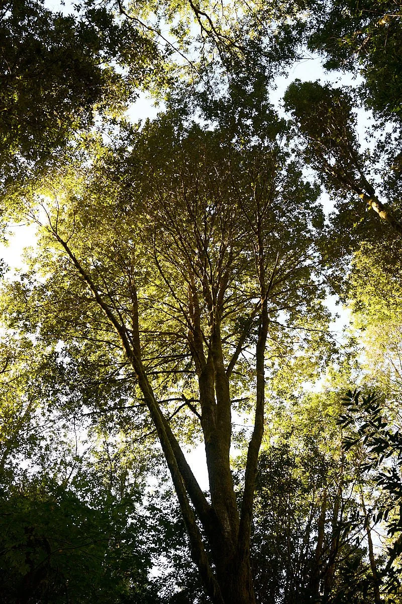
Lichen-adorned branches bear witness to the area's ample rainfall
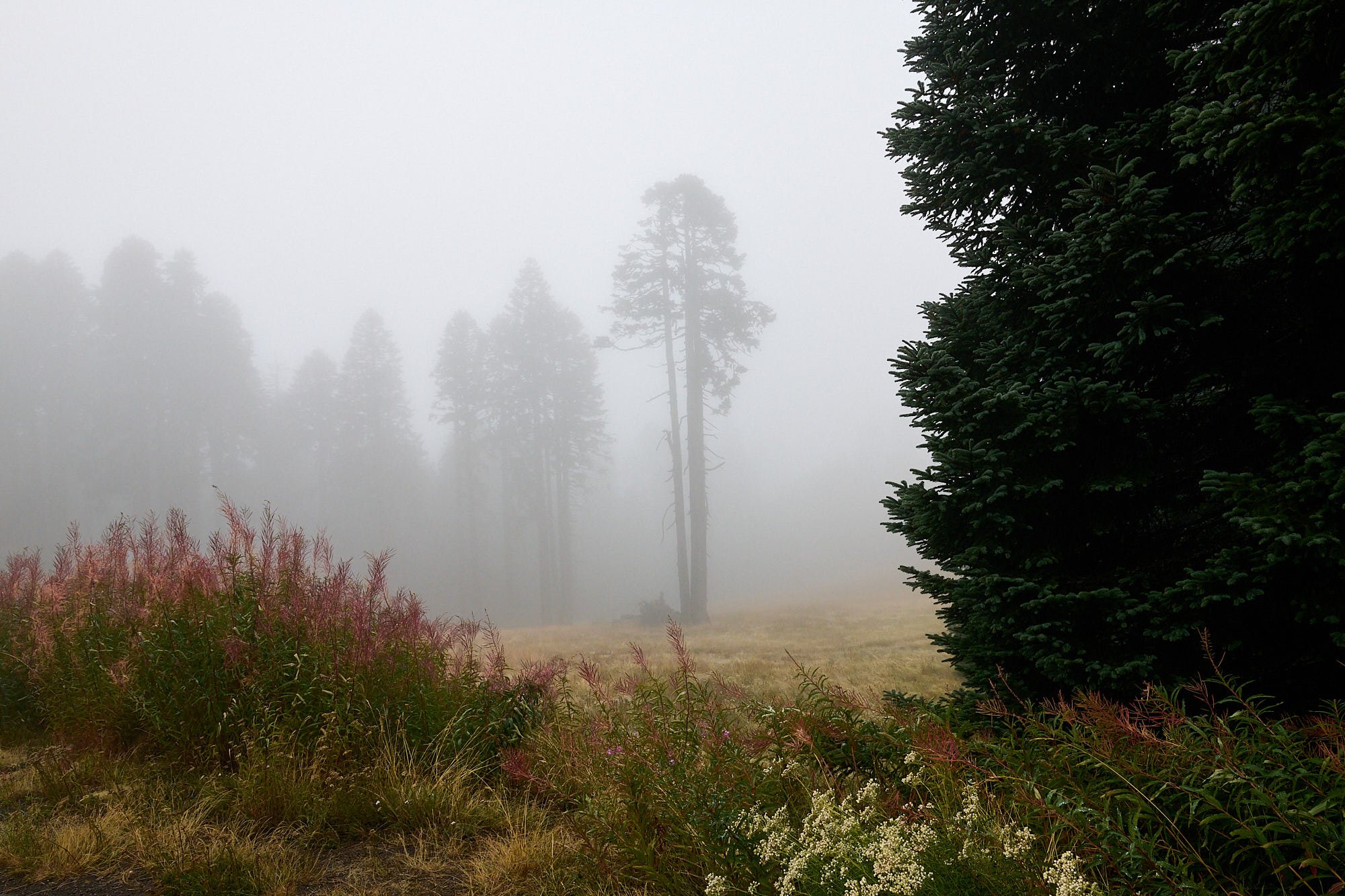
Pacific coast mist
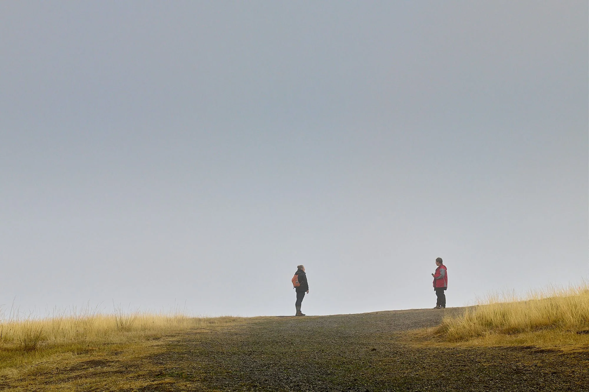
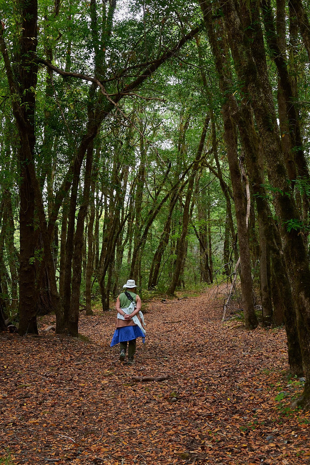
A local hiker, completely unfazed by wet weather
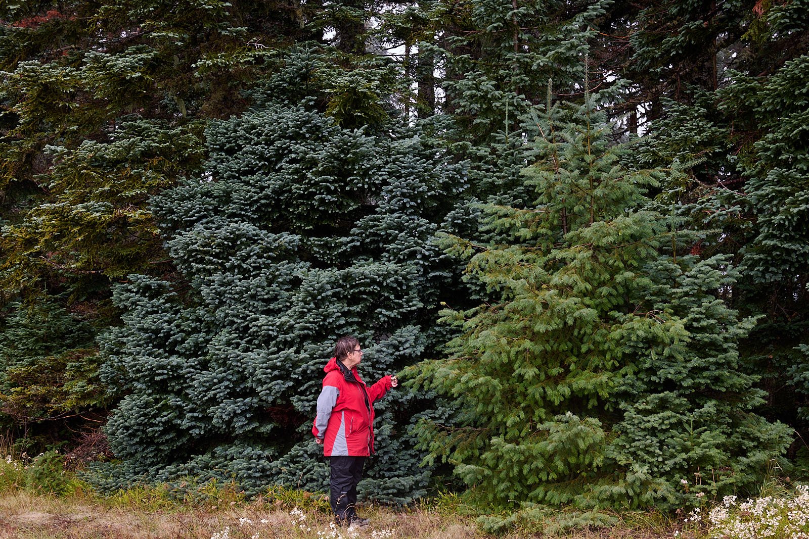
Conifer identification
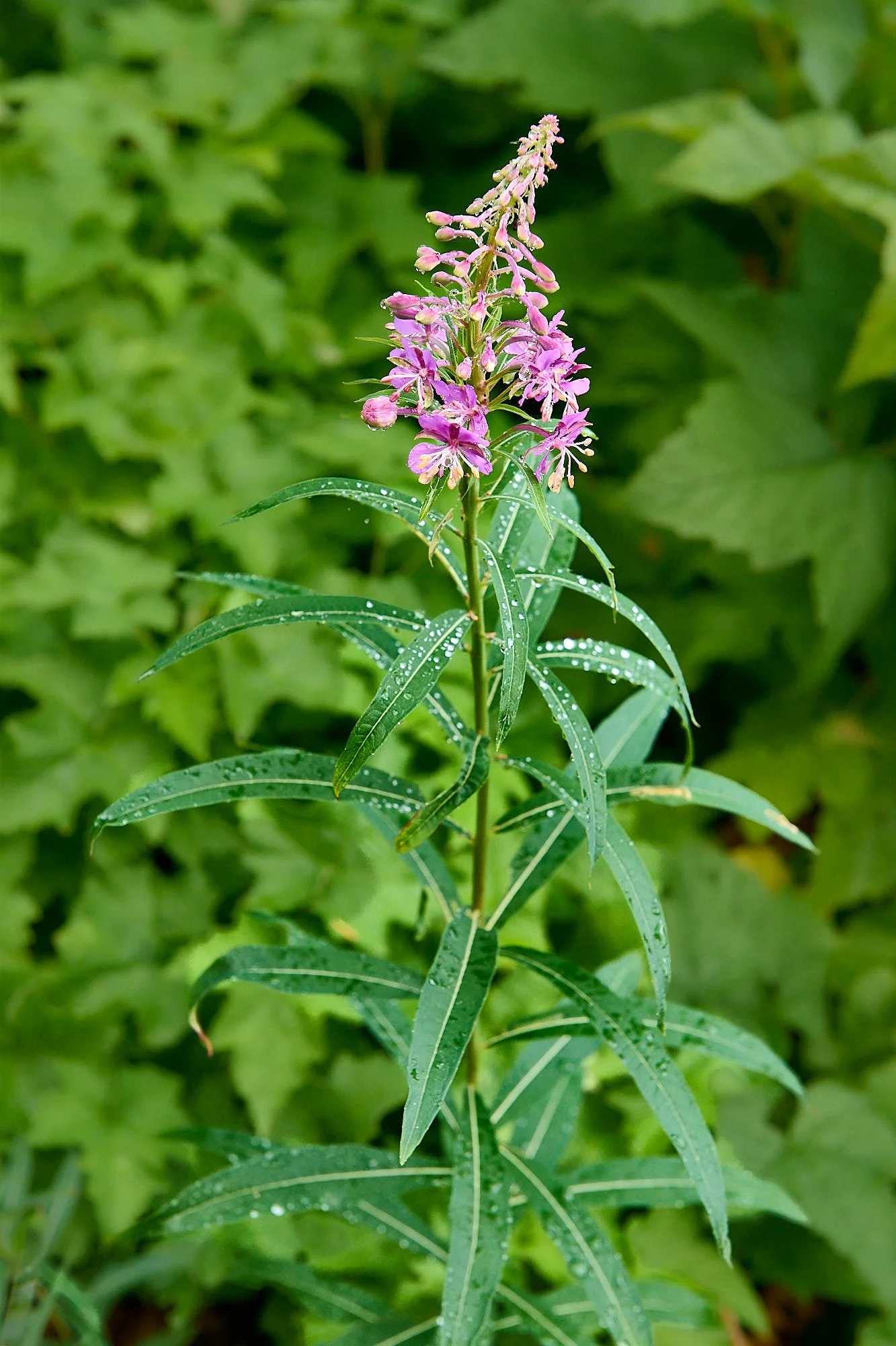
Fireweed
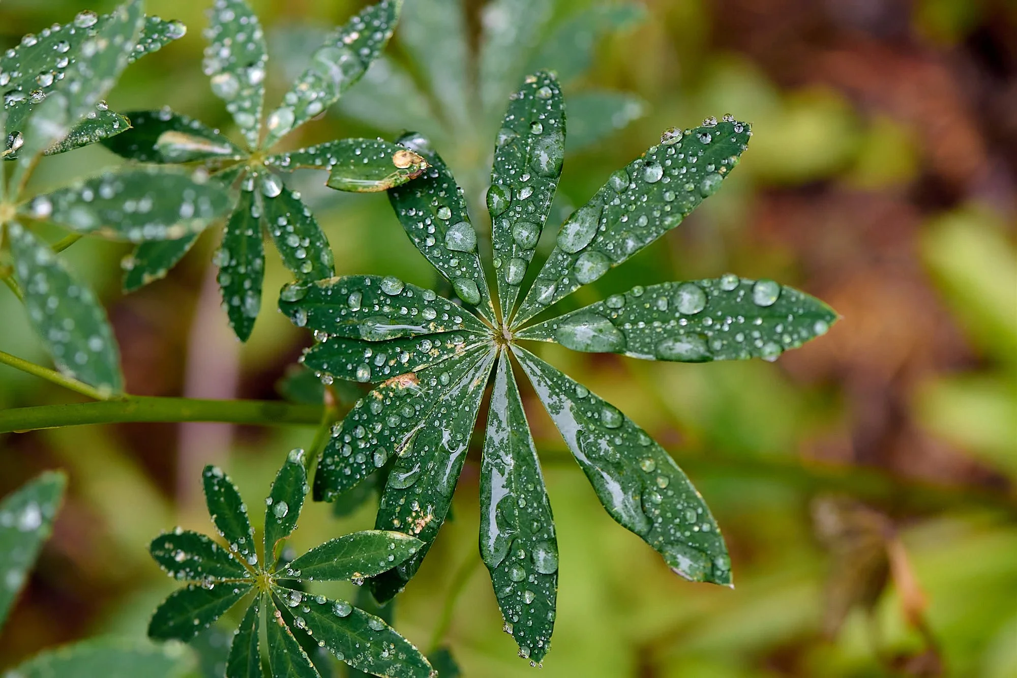
Lupines
Siskiyou-Rogue National Forest
The Rogue River-Siskiyou National Forest ranges from the crest of the Cascades Range, west into the Siskiyou Mountains, and includes southern portions of the Coastal Range, reaching nearly to the Pacific Ocean. It lies just north of the Klamath River Basin. This region, common to Oregon and California, is incredibly interesting because of the complex geology, varied terrain, proximity to the Pacific Ocean, species diversity, and extensive stretches of wilderness.
We camped by three rivers - the south fork of the Coquille, the Rogue, and the Chetko, appreciating nature’s tranquility and beauty.
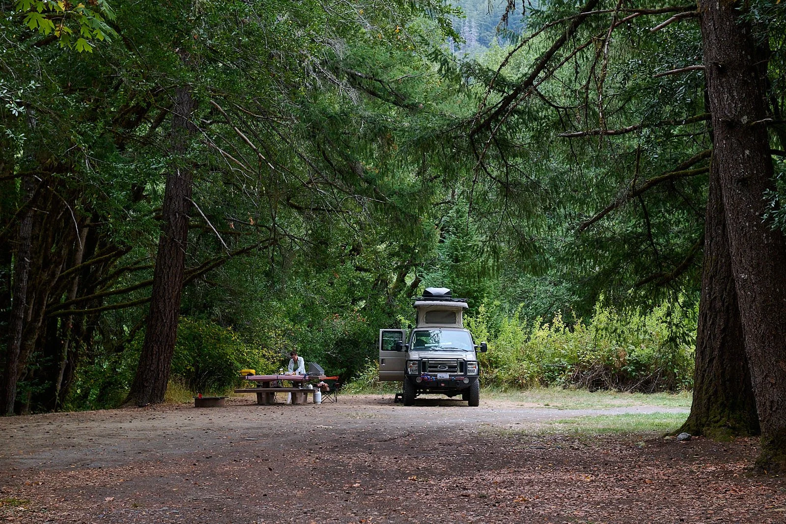
Camp at Fosters Bar, Rogue River
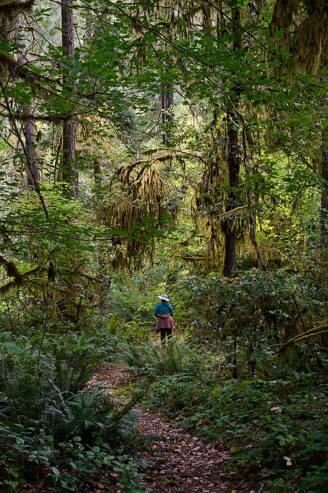
Riverine stroll along the Coquille

Rain droplets on a tiny Rogue tributary

Rogue River fisherman
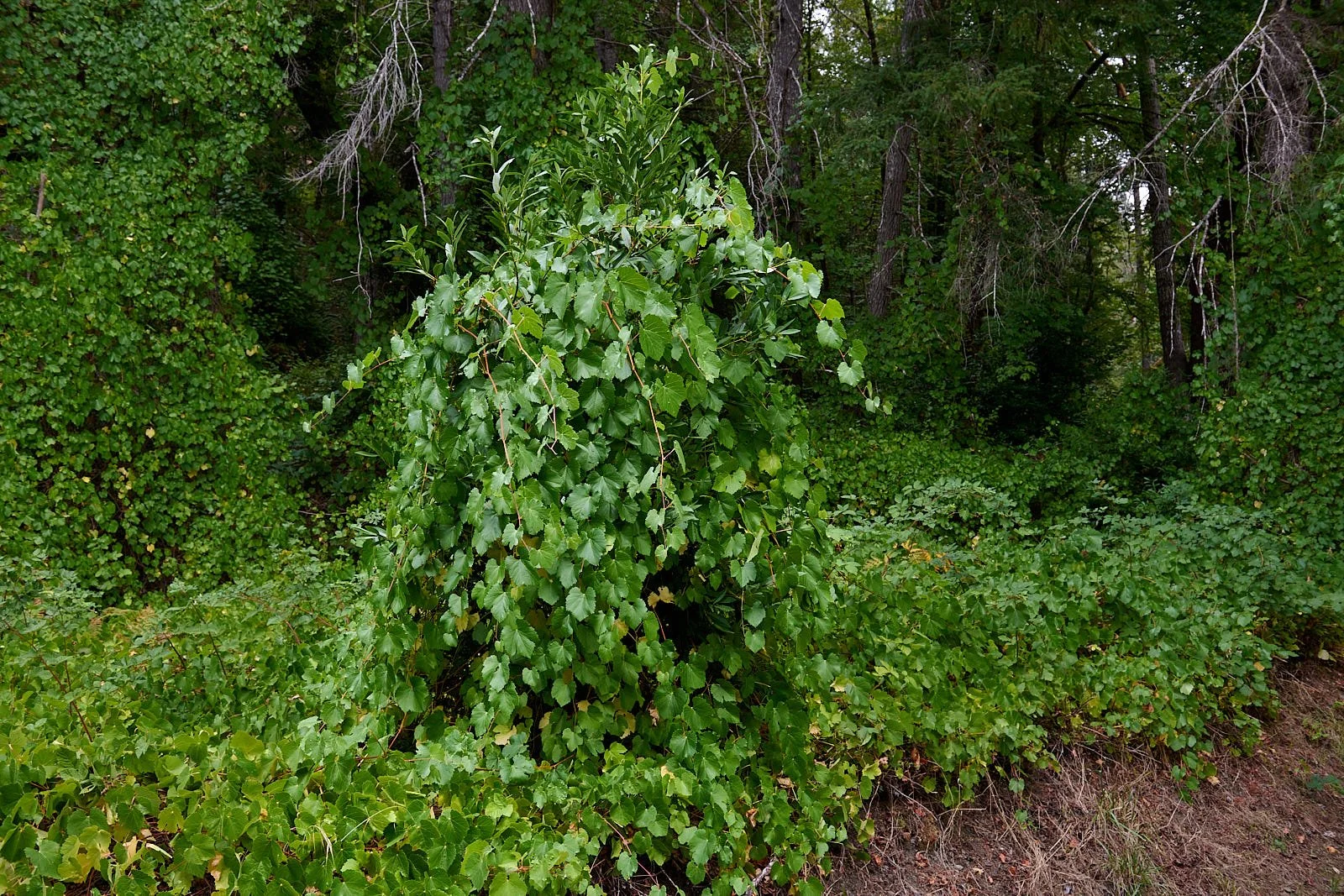
Wild grape

No bites while I was watching: Rogue river
Rogue River trail

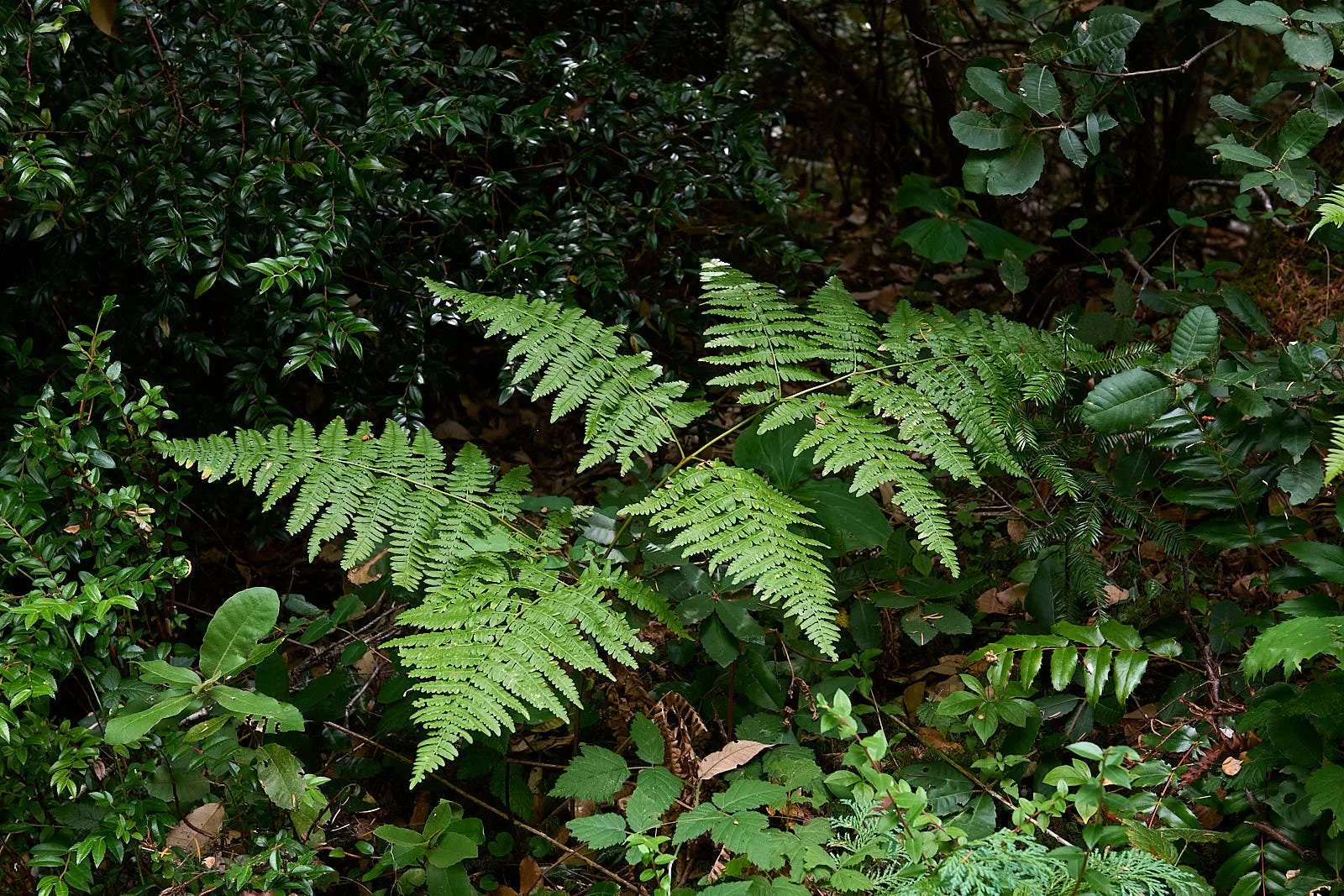
Redwood sorrel
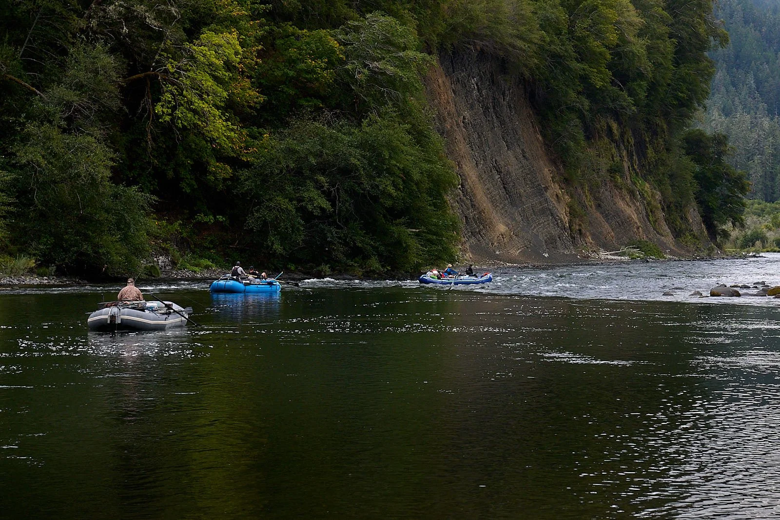
Multi-day float on the Rogue
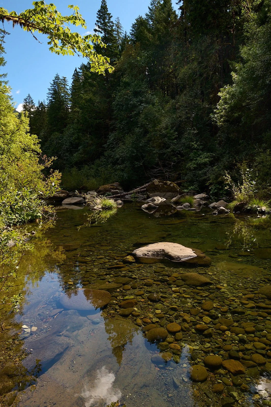
Coquille River
Myrtlewood grove along the banks of the Chetko river.
Also called California Bay Laurel (Umbellularia california).
Final thoughts
It is good to be spending quality time with friends, and experiencing what’s out there beyond a flat plasma screen.