Into Africa: February - April 2024 (part 5)
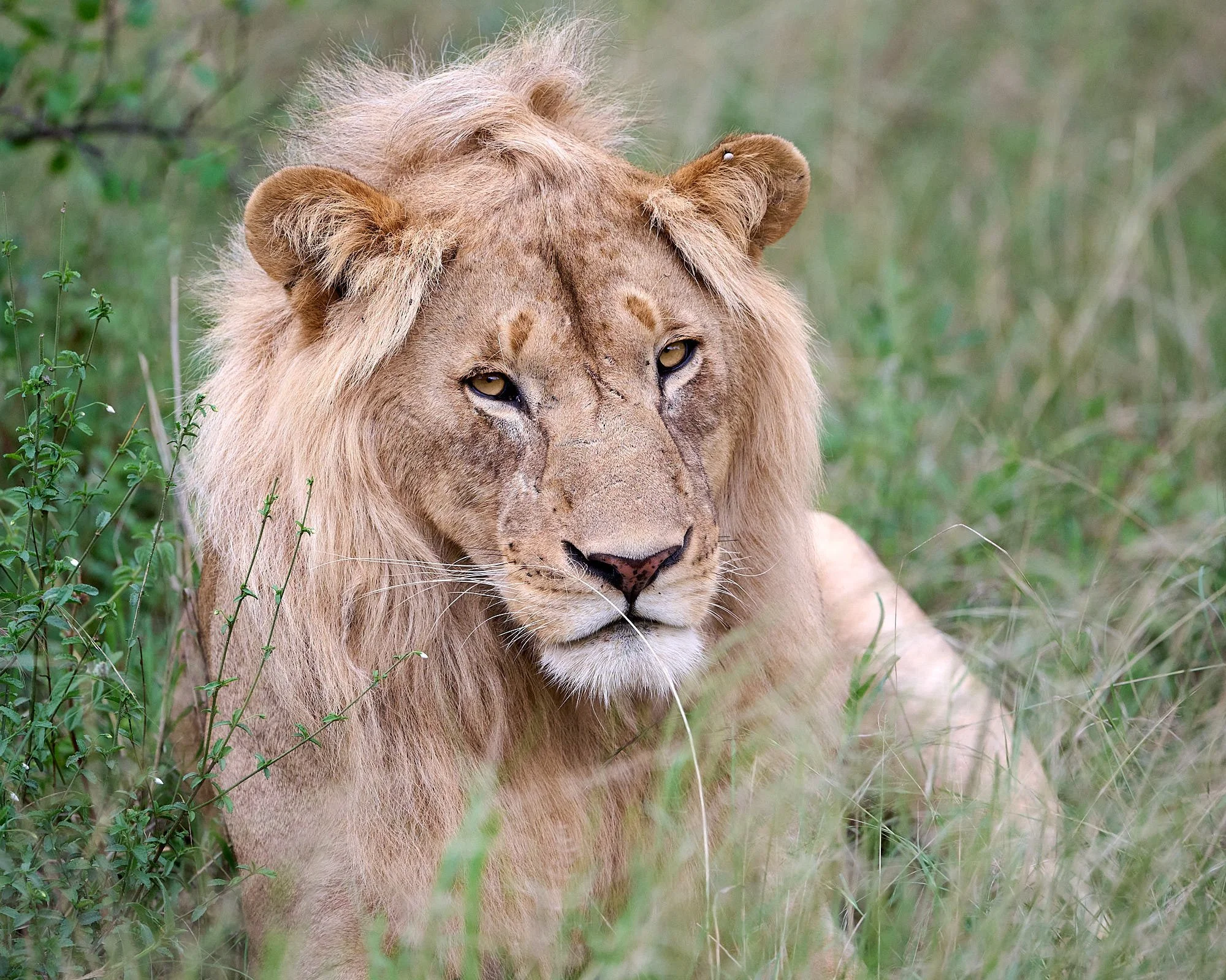
Male lion, Serengeti National Park
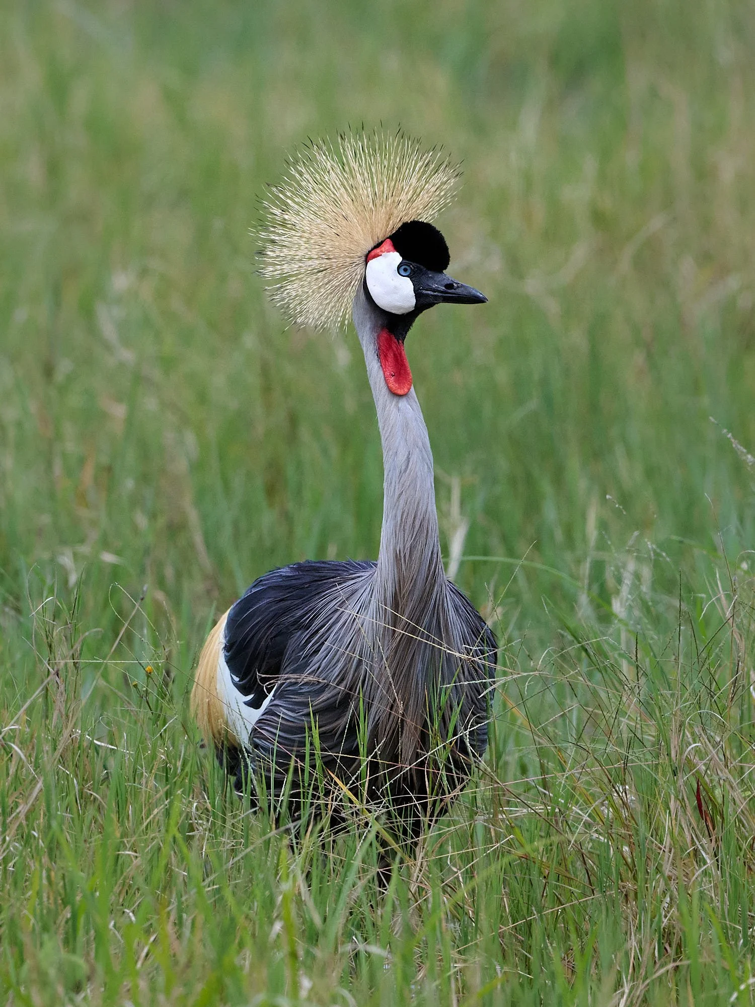
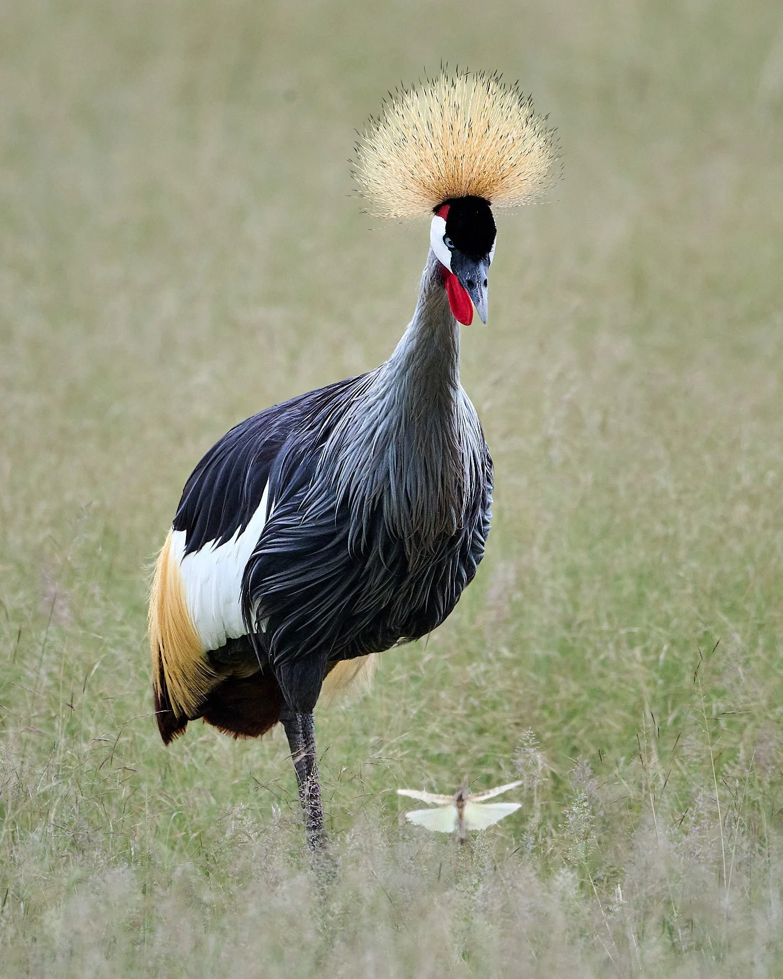
Gray Crowned Crane, Ngorogoro Crater
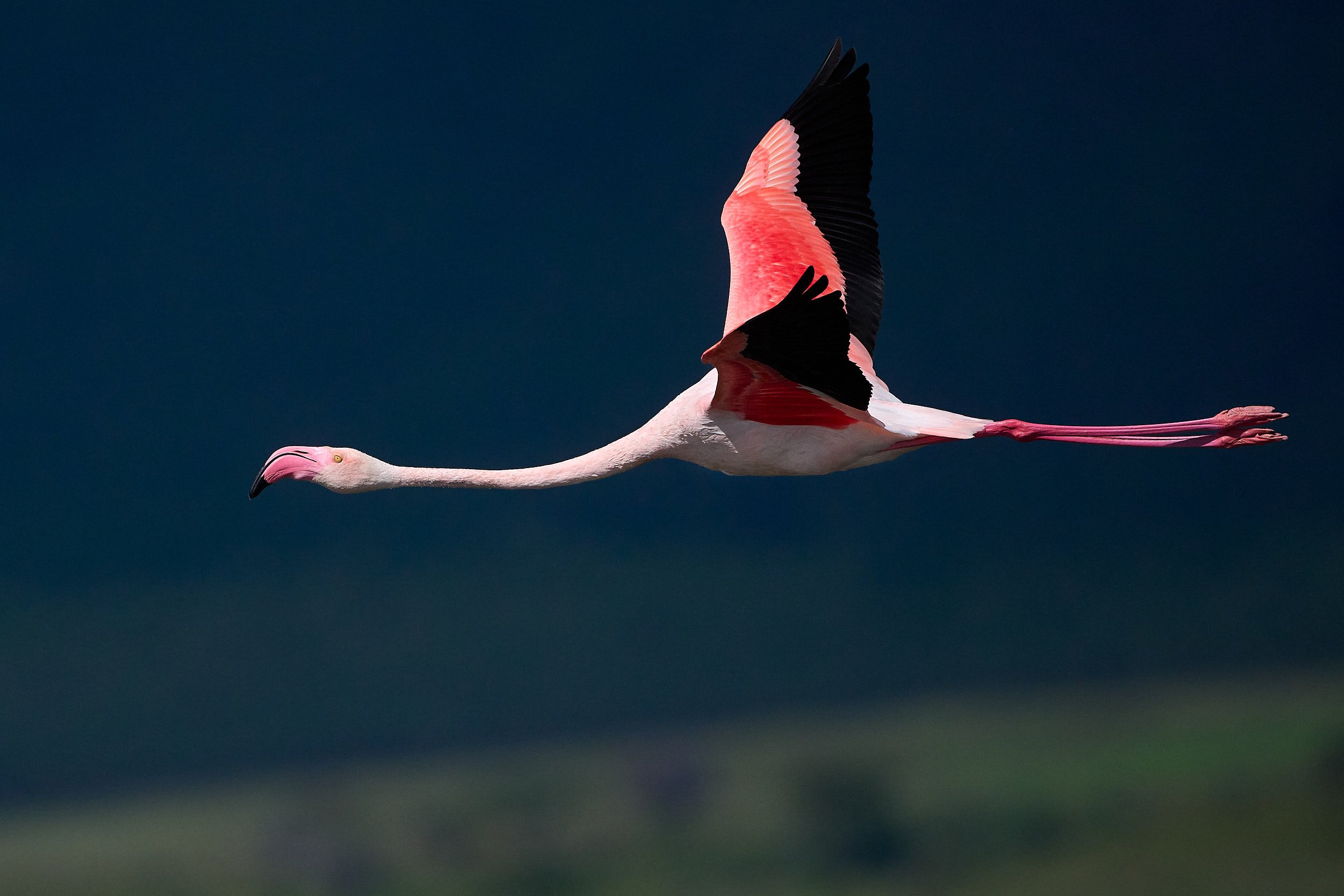
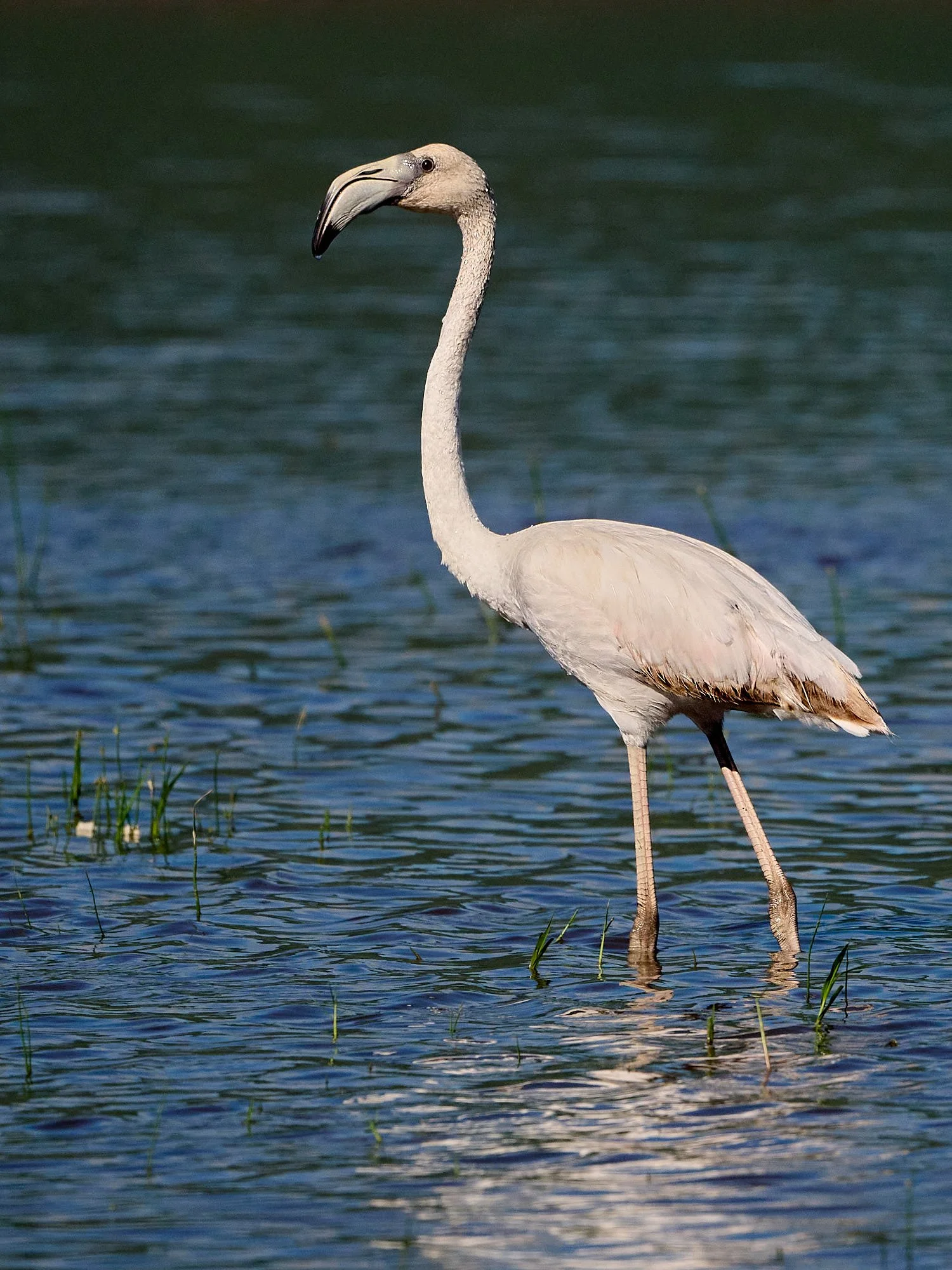
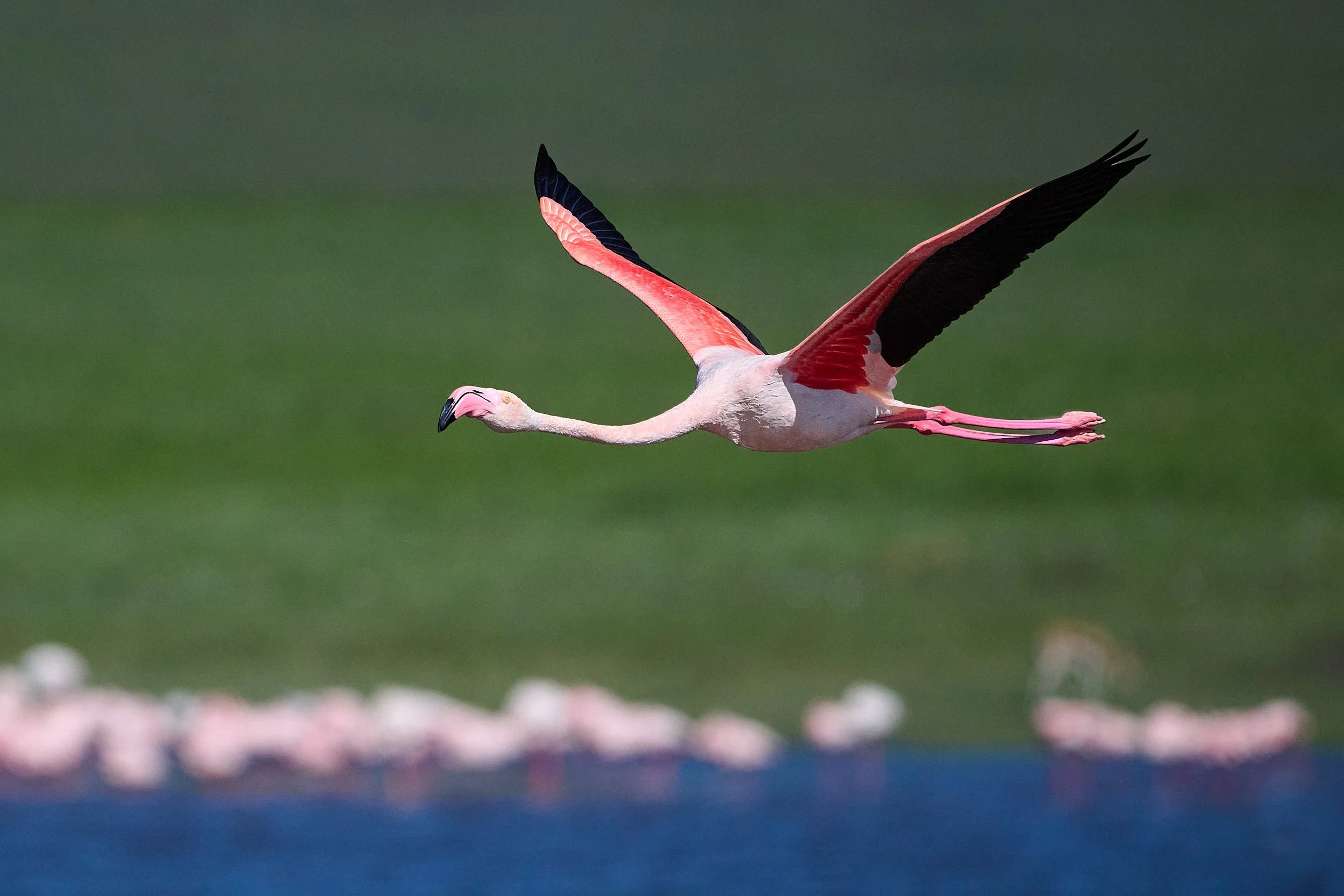
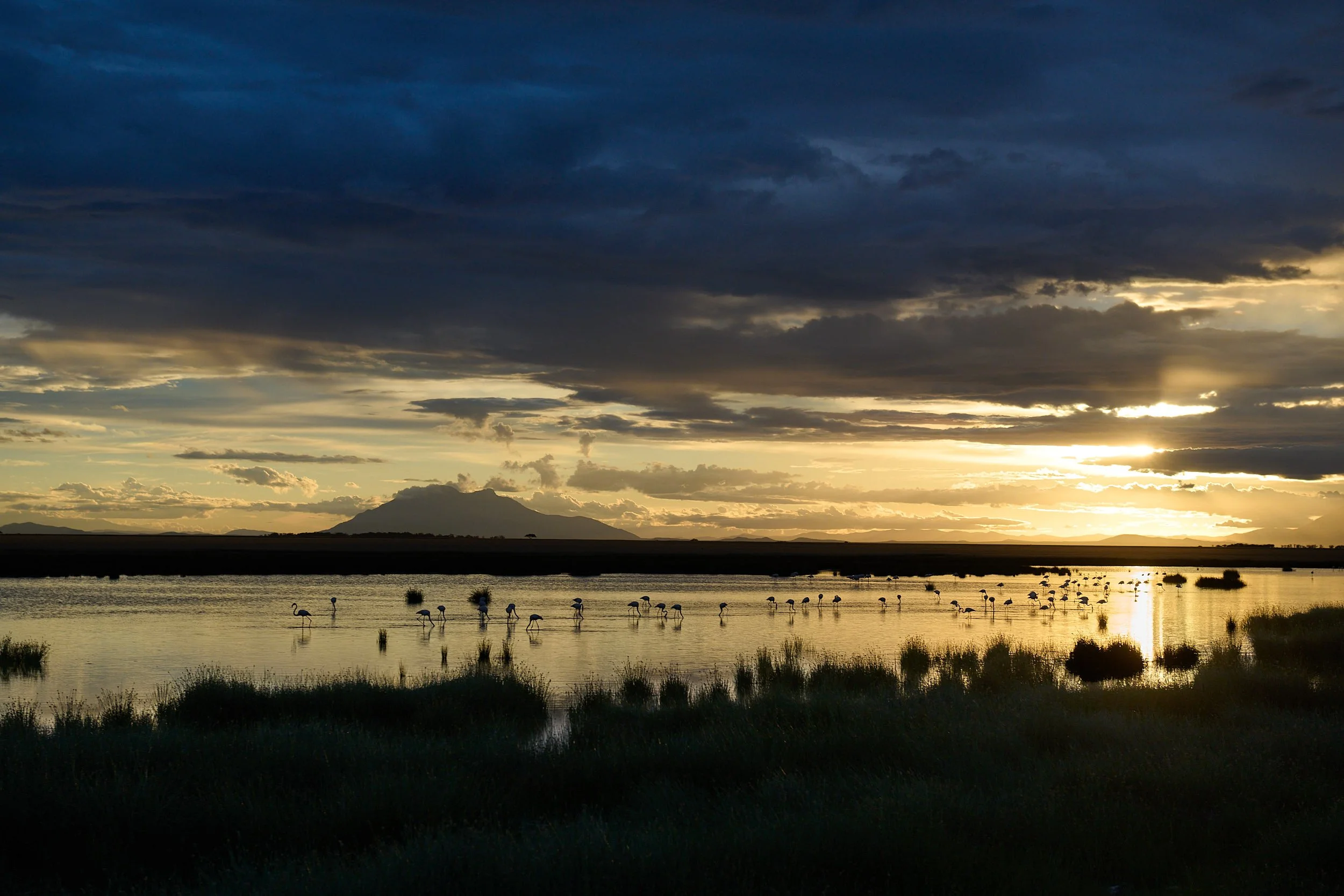
Greater Flamingo, Ngorogoro Crater
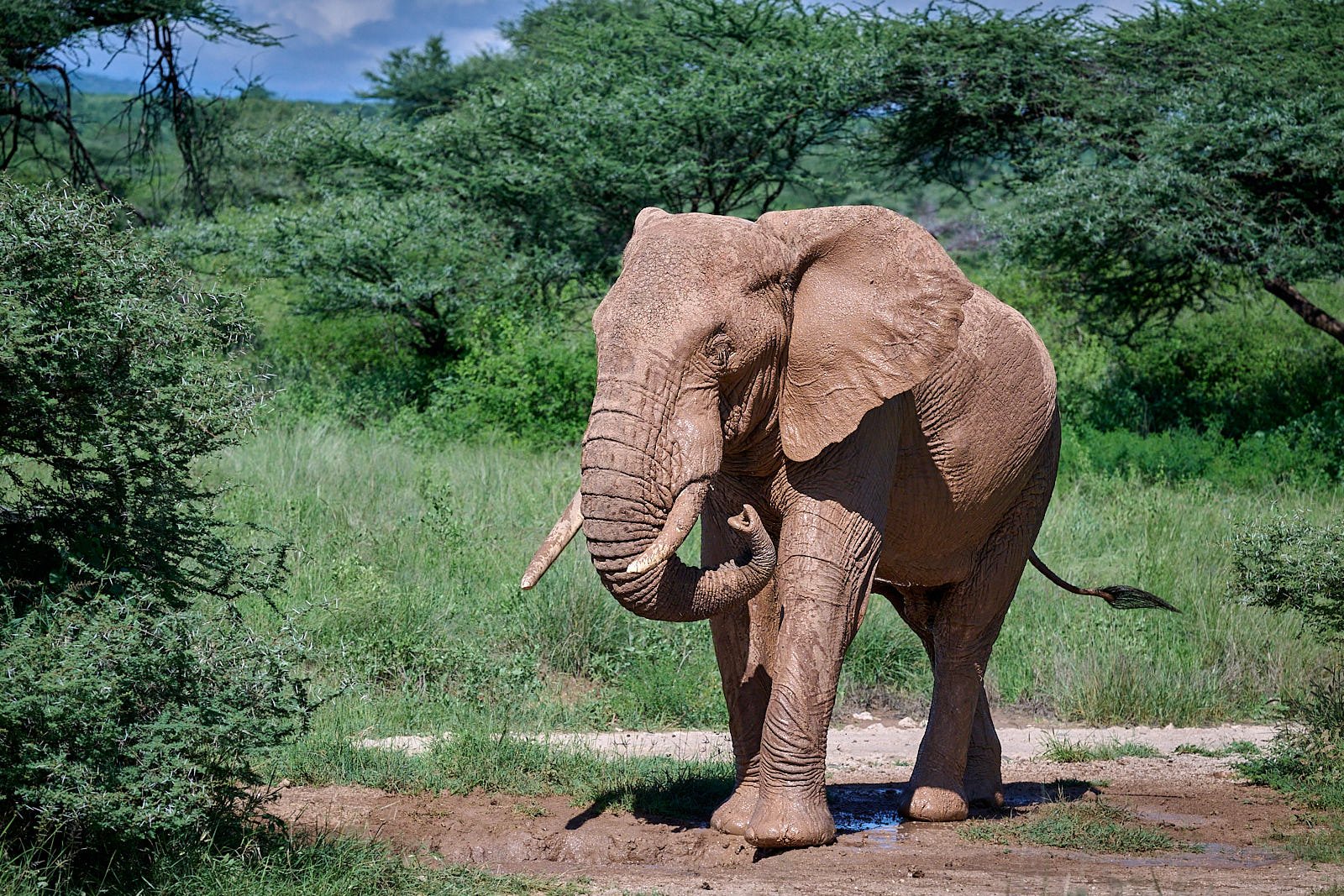
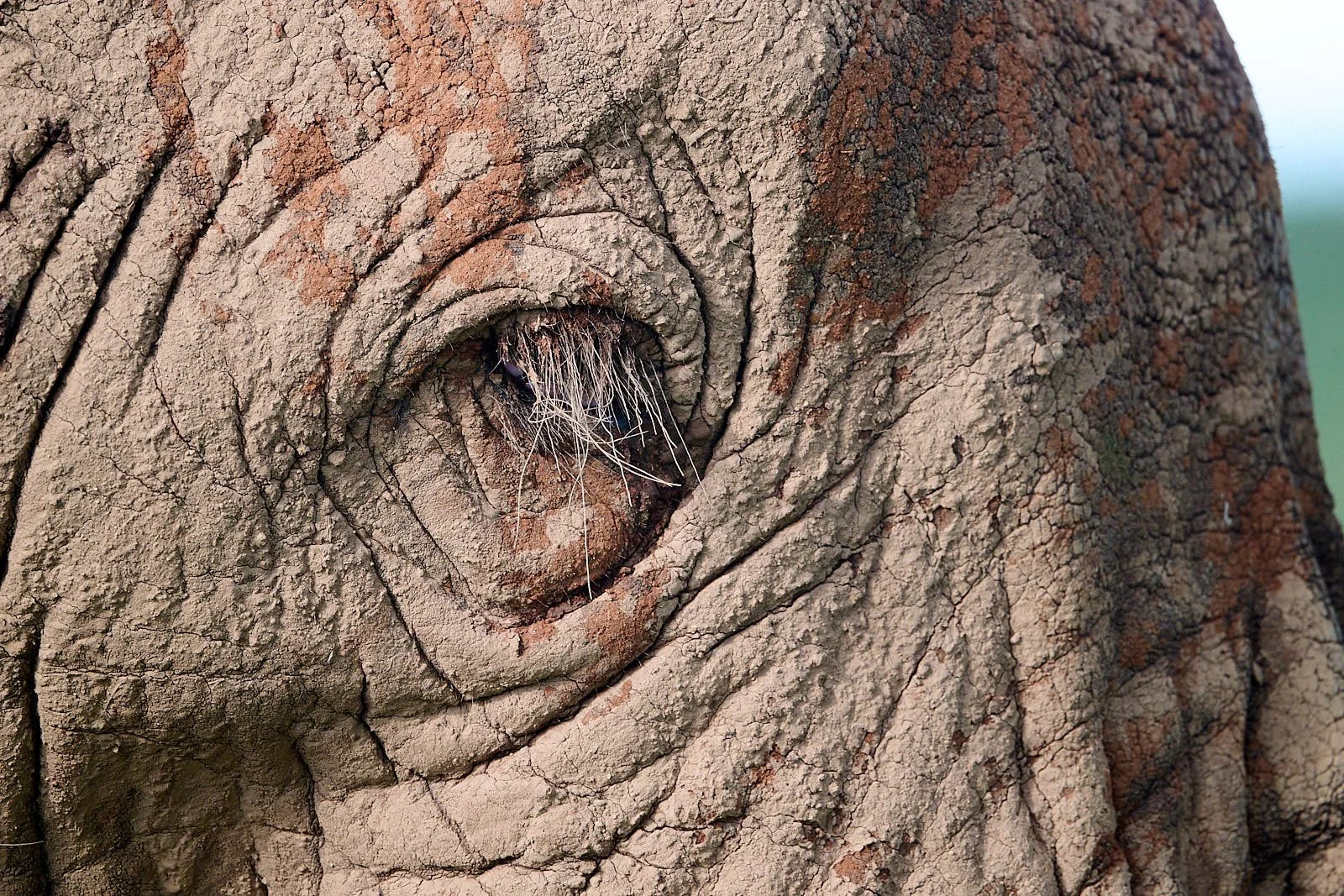
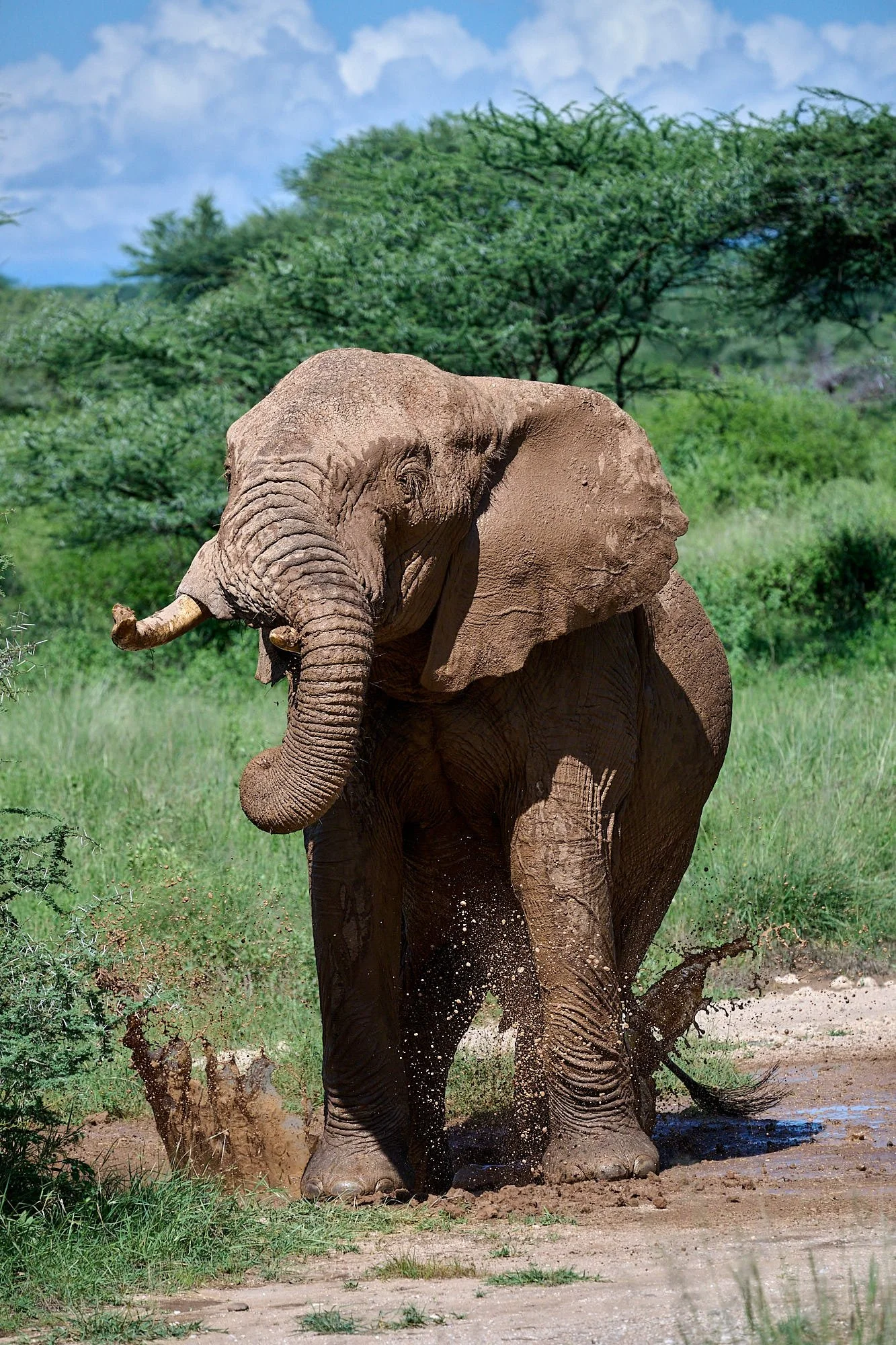
Bull elephant, Buffalo Springs Reserve
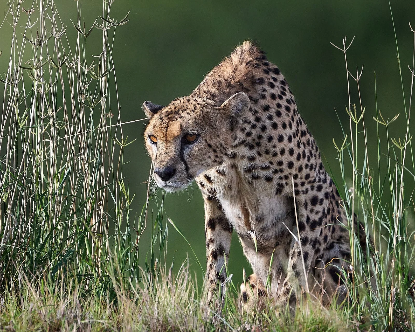
Male cheetah, Shaba Reserve
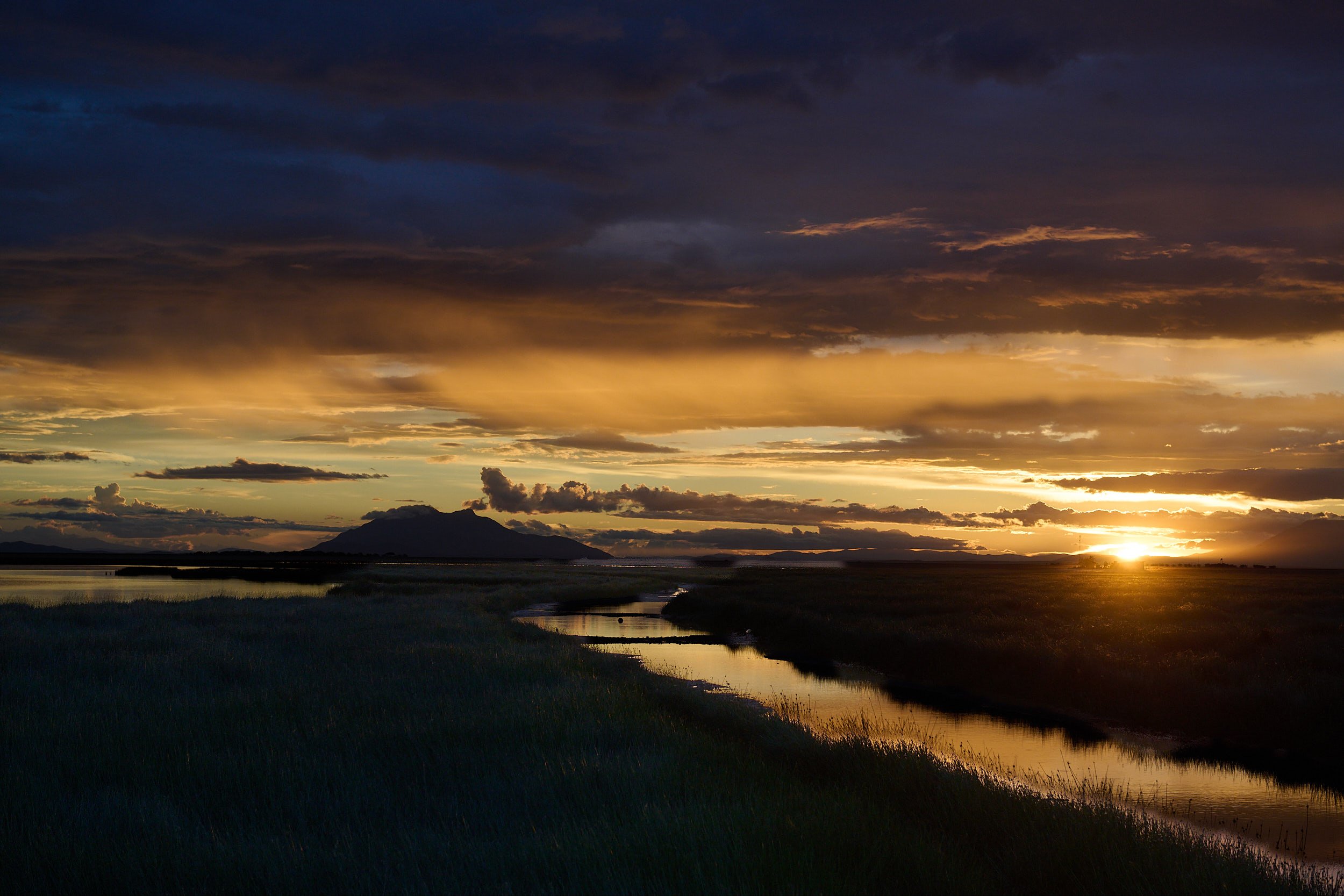
Last light, Amboseli National Park
Section #5: Safari, East Africa
We flew from Nairobi to Tanzania’s Kilimanjaro International Airport near Arusha to join an 18-day “Birding and Big Game” safari of Tanzania and Kenya. We chose this tour because the itinerary covered a broad selection of East African Rift habitats.
The safari participants were 6 clients (all USA residents), an expert birding guide from UK, and a local birding guide/driver. The group travelled in a Toyota landcruiser that was customized for safari work but remained street-legal.
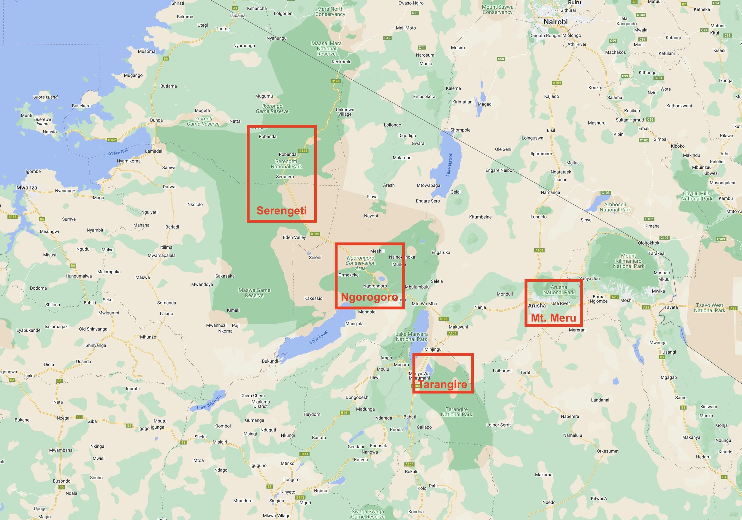
The group gathered at a lodge in the forested foothills of Mount Meru. From there, we drove south to Tarangire National Park. Next, we explored iconic Serengeti, Olduvai Gorge, and Ngorogoro Crater.
The long rains arrived and remained a significant aspect of our safari experience for the entire tour.
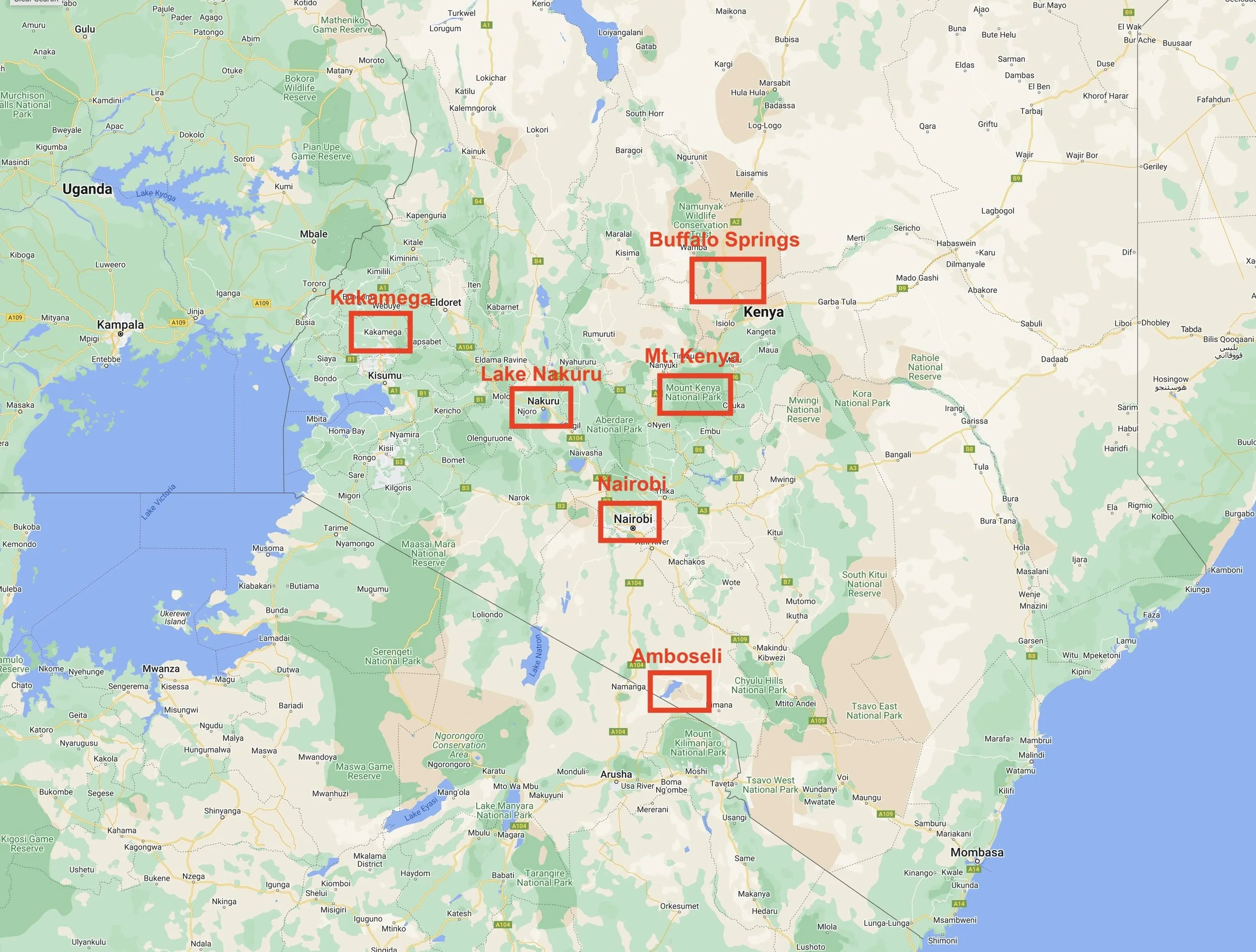
After revisiting the lodge near Arusha for one night , we crossed into Kenya at Namanga and went eastward to Amboseli National Park. From Amboseli, we had a long day’s drive, via Nairobi, to Castle Forest on Mount Kenya’s southeastern slopes. Descending onto Kenya’s central plateau, we journeyed north to Shaba and the adjacent Buffalo Springs Reserves. This is drier country, but was glowing fluorescent green from the recent precipitation. Leaving the highlands, we travelled southwest, dropping into the Gregory Rift to reach Lake Nakuru. On our final day, we returned to Nairobi.
Our guides were superb birders and they identified many birds that would have remained a mystery to us. The official species count for the safari was 485, bringing the total for our Africa trip to 667.
Africa’s Great Rift Valley
This complex system of rift valleys stretches approximately 4,300 miles from the Middle East to Mozambique. It is geologically active, and features volcanoes, hot springs, geysers, and frequent earthquakes. The region has highland forests, snow-capped mountains, savannas, wetlands, and lakes, which together with the rich volcanic soils and tropical location, support a spectacular abundance of life.
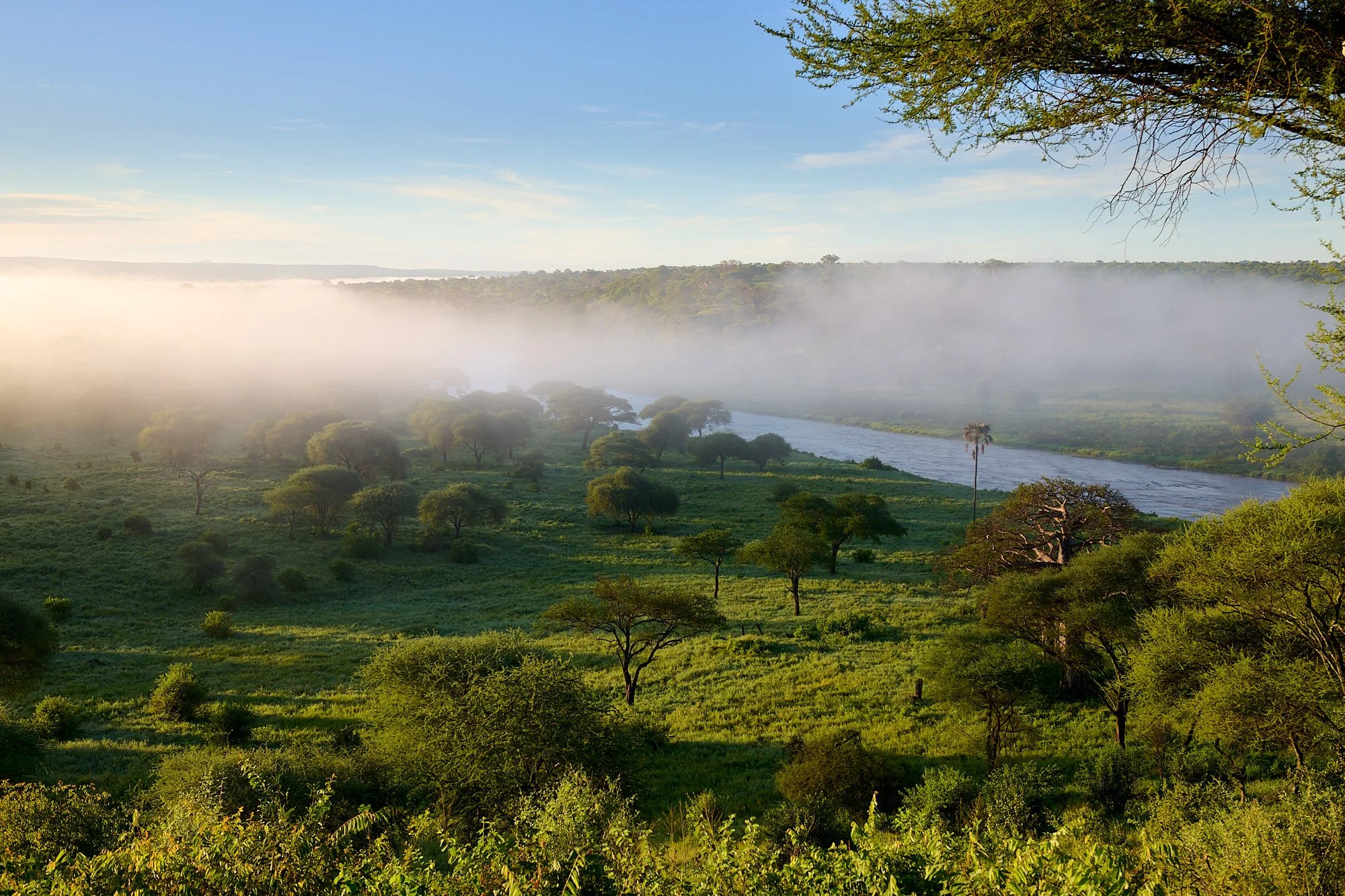
Tarangire National Park
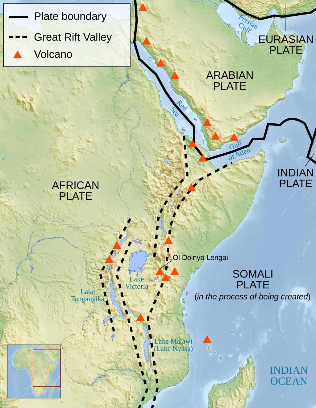
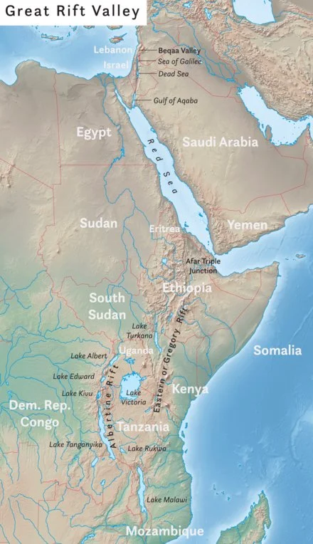
Plate tectonics
Throughout the Great African Rift, the continent of Africa is splitting in two. The African plate, sometimes called the Nubian plate, carries most of the continent, while the smaller Somali plate supports the Horn of Africa.
The two major rift valley systems are the Gregory Rift and the Albertine Rift (right figure, above). These rift valleys are dotted by volcanoes (left figure, above) such as Mount Kenya (extinct stratovolcano) in Kenya; Ol Doinyo Lengai (active volcano) and Mount Kilimanjaro (dormant stratovolcano) in Tanzania.
The Gregory Rift stretches from the Red Sea and the Arabian Sea to as far south as Mount Kilimanjaro. One of the most important features of the Gregory Rift is the Afar Triple Junction, found where the Horn of Africa straddles the Red Sea and the Gulf of Aden in the Arabian Sea. At the Afar Triple Junction, the Arabian plate, Nubian plate and Somali plate are all tearing away from each other.
Two arms of the Afar Triple Junction continue to widen in the process of seafloor spreading—the arm extending into the Red Sea and the arm extending into the Gulf of Aden. As these rifts continue, the narrow valley created by the Gregory Rift (the arm of the Afar Triple Junction located above sea level) may sink low enough that the Arabian Sea will flood it. Separated from Africa by this new strait, Horn of Africa (sitting on the Somali plate) would become a continental island, like Madagascar.
The Albertine Rift, also called the Western Rift, includes many of the African Great Lakes. Lake Tanganyika is the world’s second-deepest and second-biggest (by volume of freshwater) lake in the world. It contains hundreds of endemic species of cichlid fish, as do other freshwater Rift Valley lakes.
The African Rift formed in the Miocene approximately 25 million years ago; originating at the Afar triple junction and extending southwards over time. The eastern branch is thought to have formed earlier than its western counterpart.
Proposed cause of the Rift Valley system
The orientation of the rifts, highlands and associated flood basalts in the Afar region indicate that the East African Rift most likely formed as the result of elevated heat flow from the asthenosphere beneath Kenya and Ethiopia. This increased heat caused the regions to uplift resulting in stretching and fracturing of the brittle continental crust (see domes illustrated in figure below). Flood basalts erupted through fissures and a series of normal faults were generated, creating the classic ‘horst and graben’ morphology of elongate basins and associated highlands, which now make up the rift valley. The source of this elevated heat flow is under debate but most geologists agree that it is related to mantle plume activity heating the overlying crust and causing it to expand and fracture.
Adapted from: National Geographic, Wikipedia & The Geological Society websites
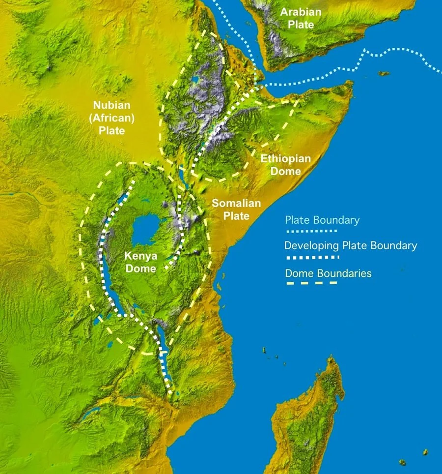
Figure showing plate boundaries and uplifted domes.
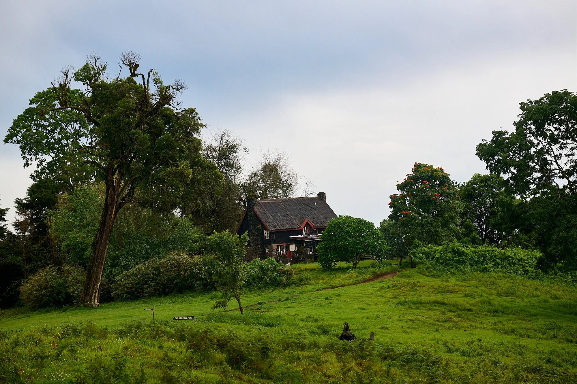
Mount Meru
Mount Meru is a dormant stratovolcano; the last eruption occurred in 1910. Much of the mountain's height was lost about 7,800 years ago due to a summit collapse. Currently, it stands 14,968 ft above sea-level. Our lodge was in the wooded foothills, alongside a vigorous mountain stream, and about an hour’s drive from Arusha town.
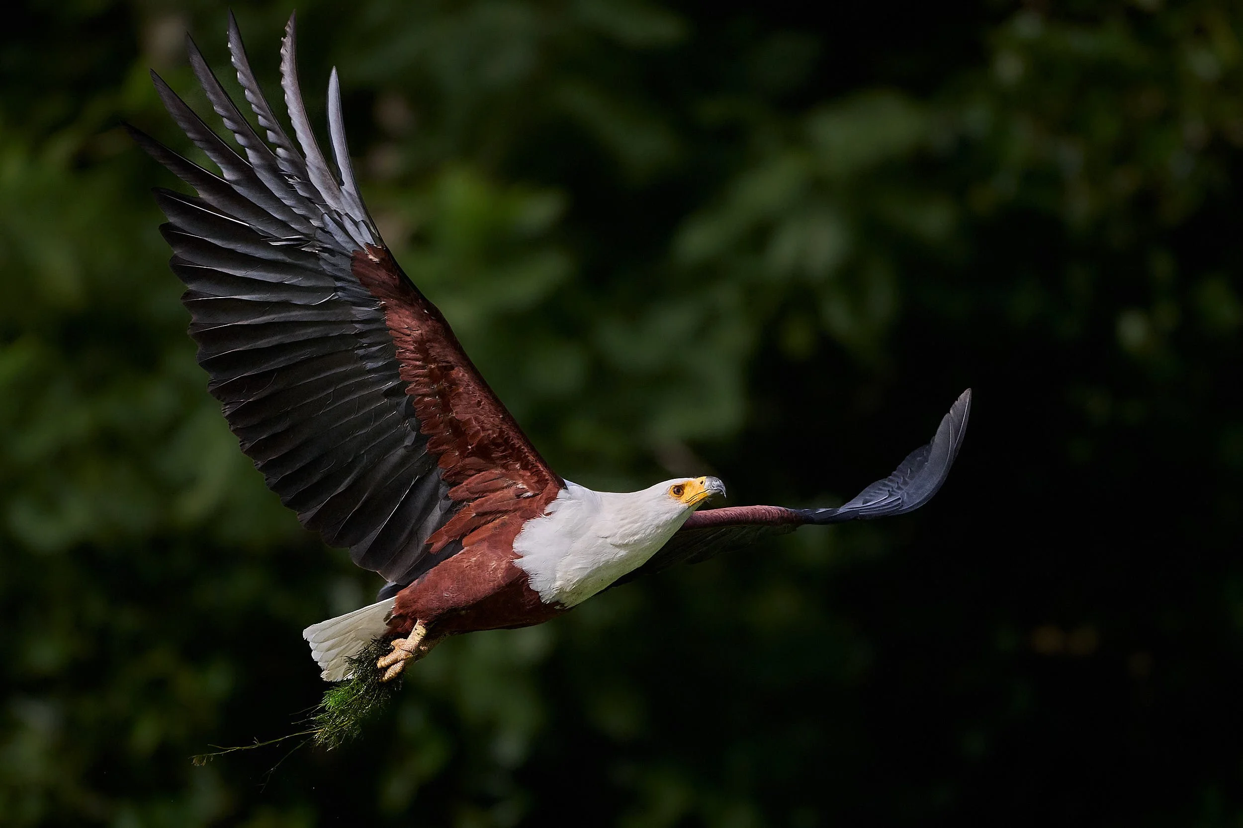
African Fish Eagle
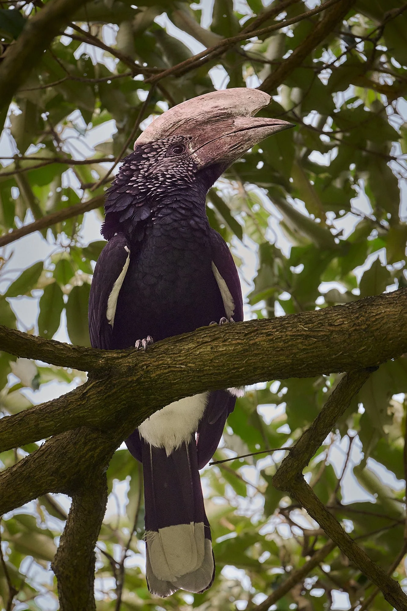
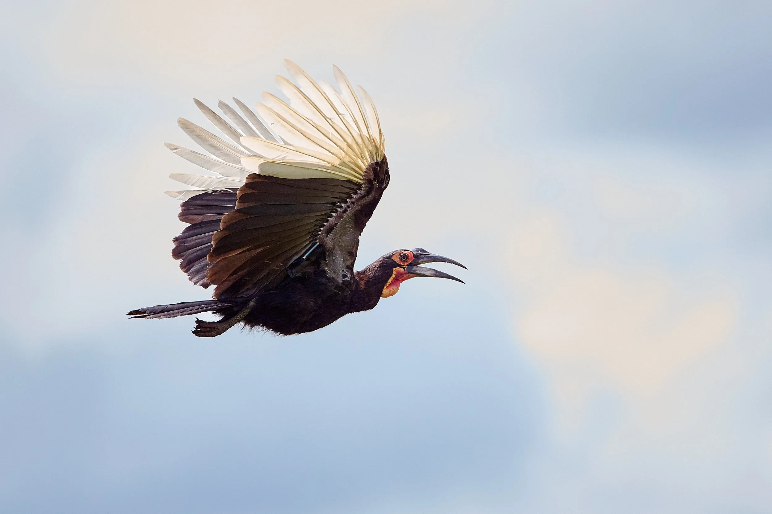
Trumpeter Hornbill
Tarangire National Park
The next stop was Tarangire and we thoroughly enjoyed our time there. It is a large park with luxurious riverine vegetation bordering the Tarangire river. Away from the river there is extensive thornveld woodland, iconic baobab trees, and broad swaths of open grassland.
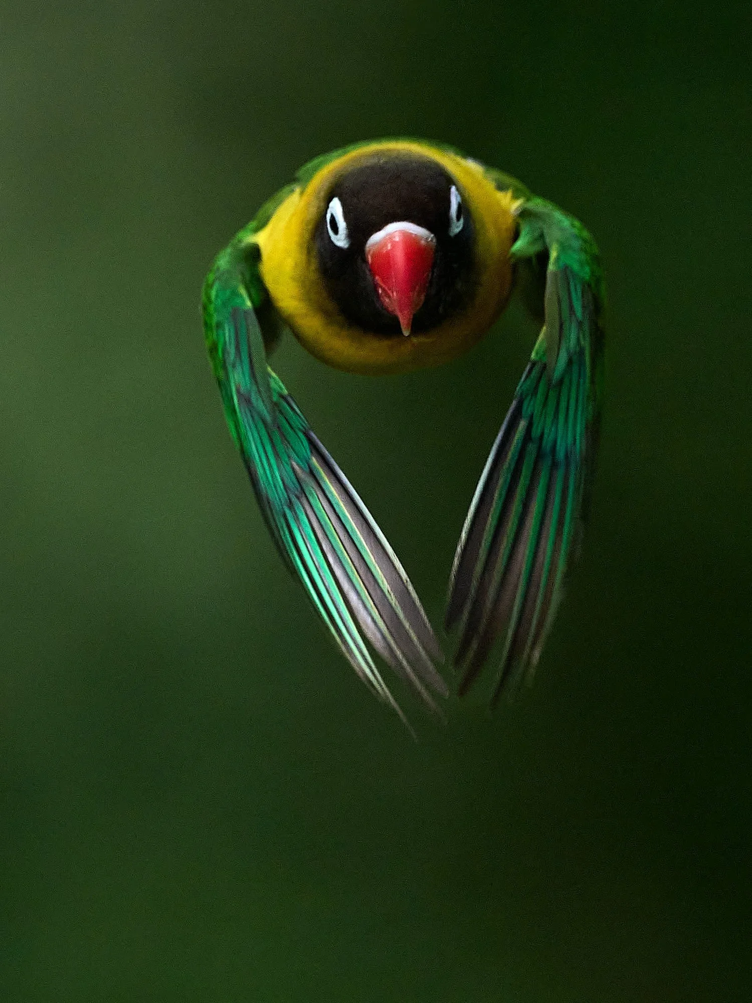
Yellow-collared Lovebird
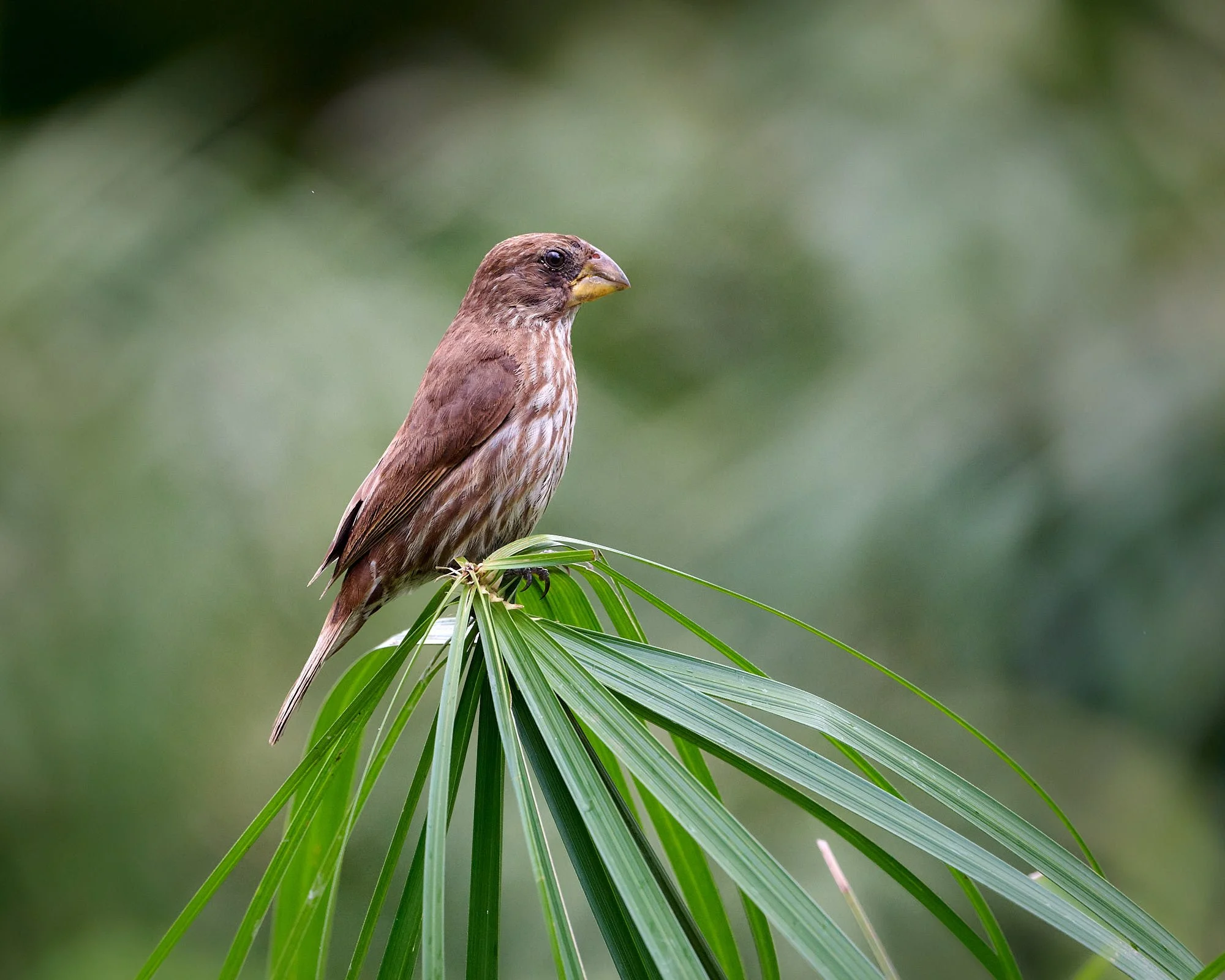
Grosbeak Weaver, female/immature
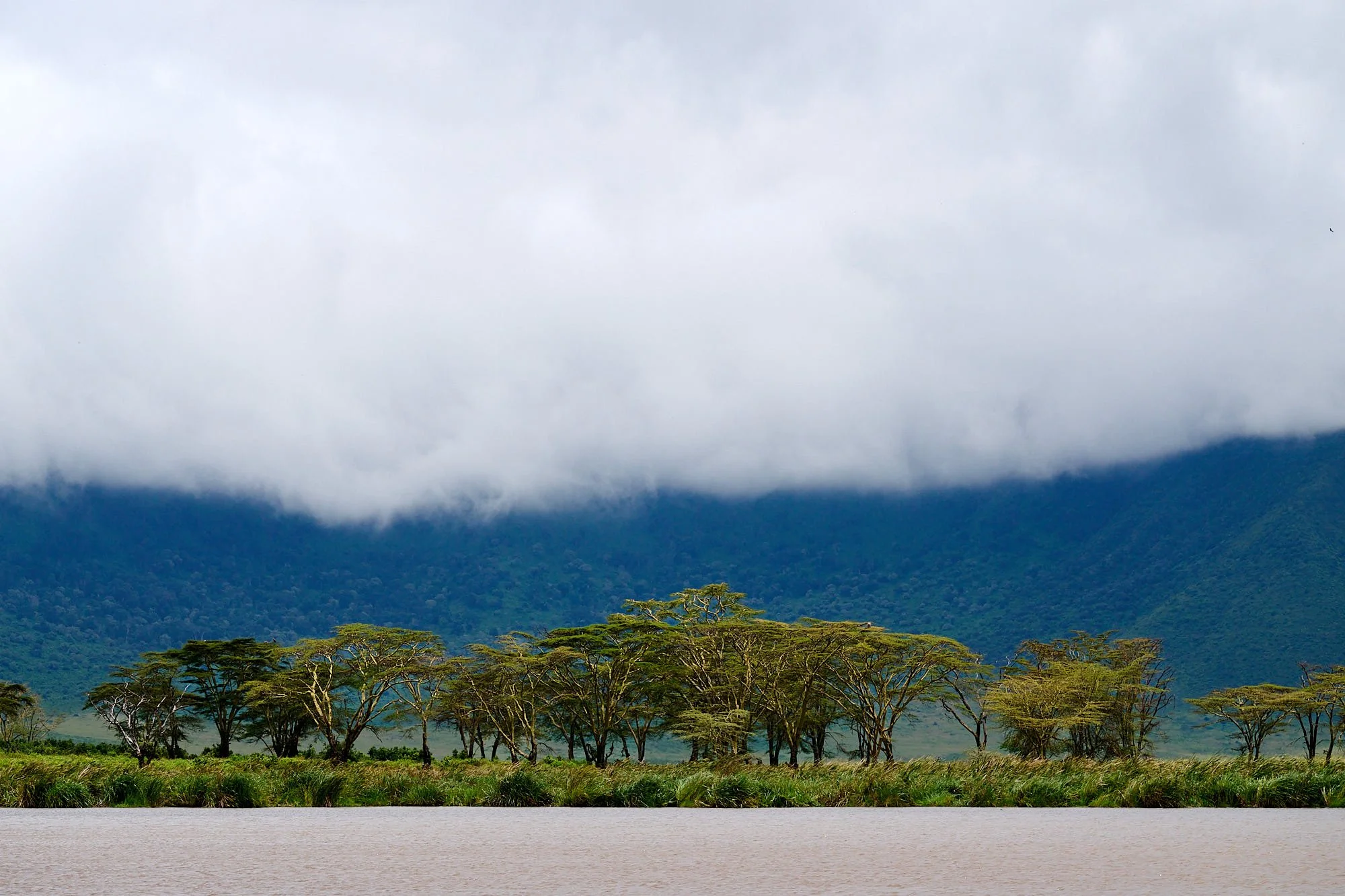
Rain at Tarangire National Park
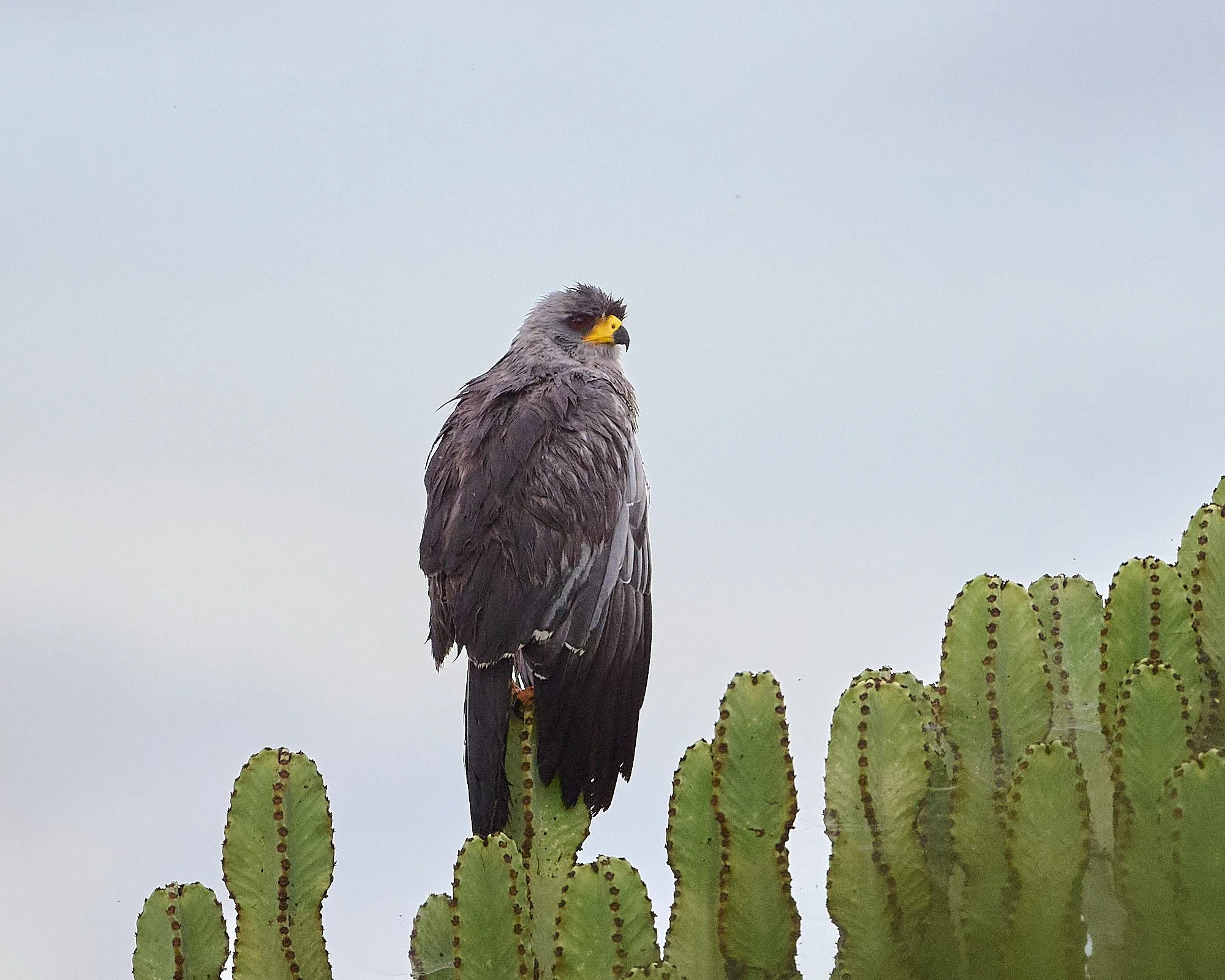
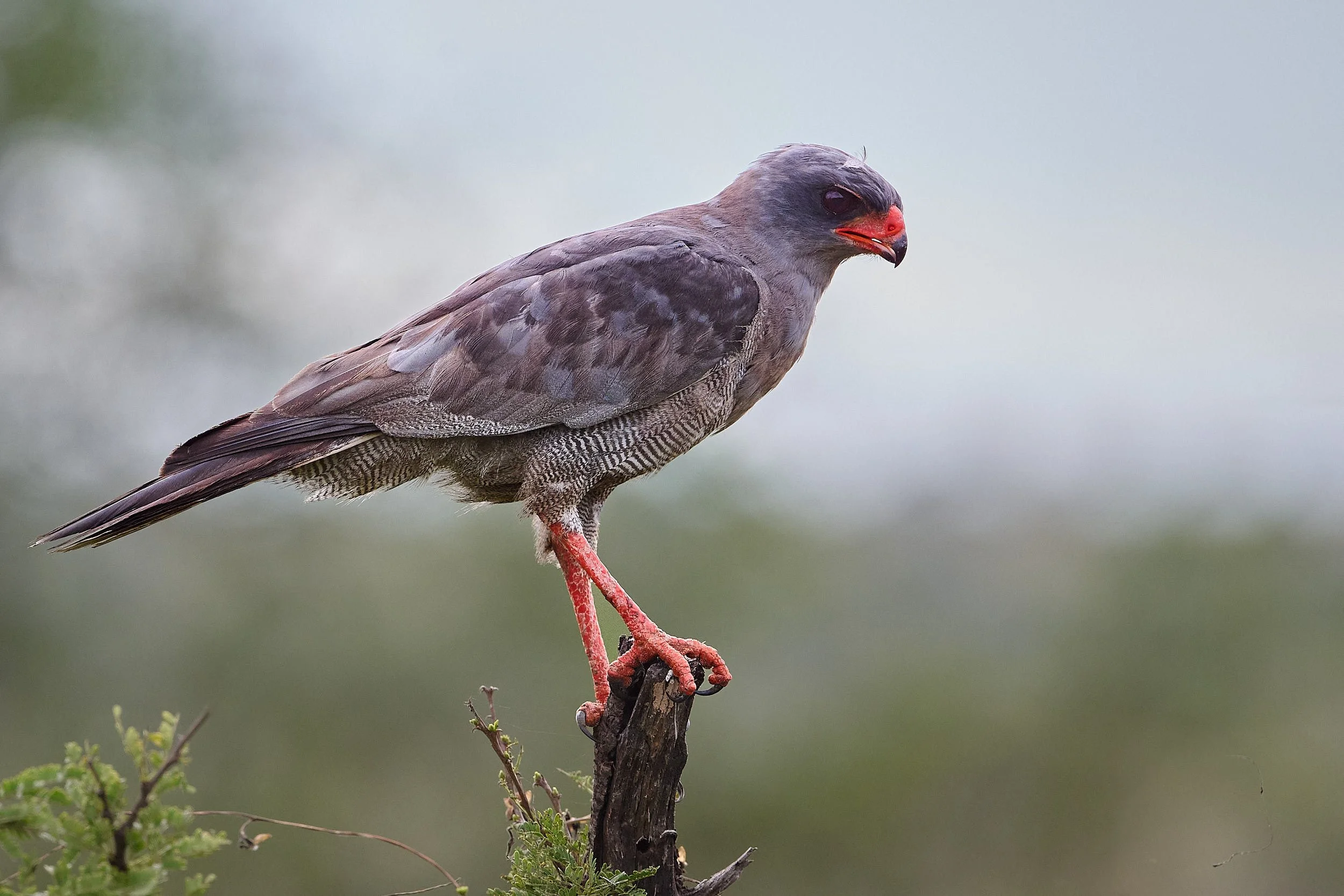
Eastern Chanting Goshawk
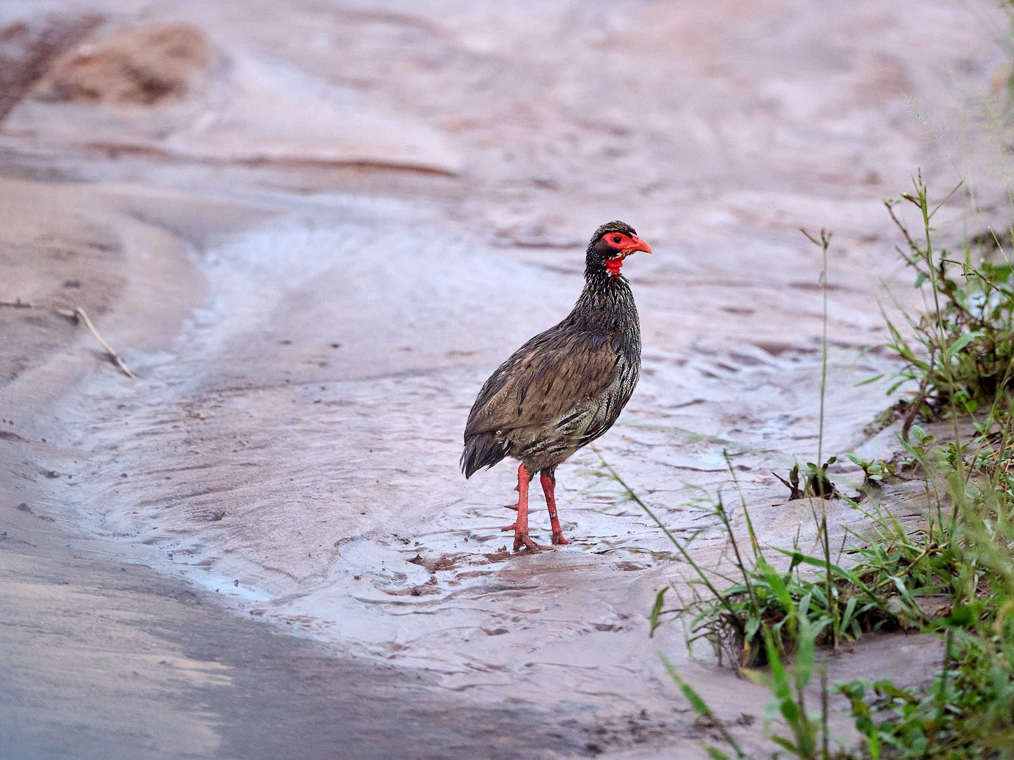
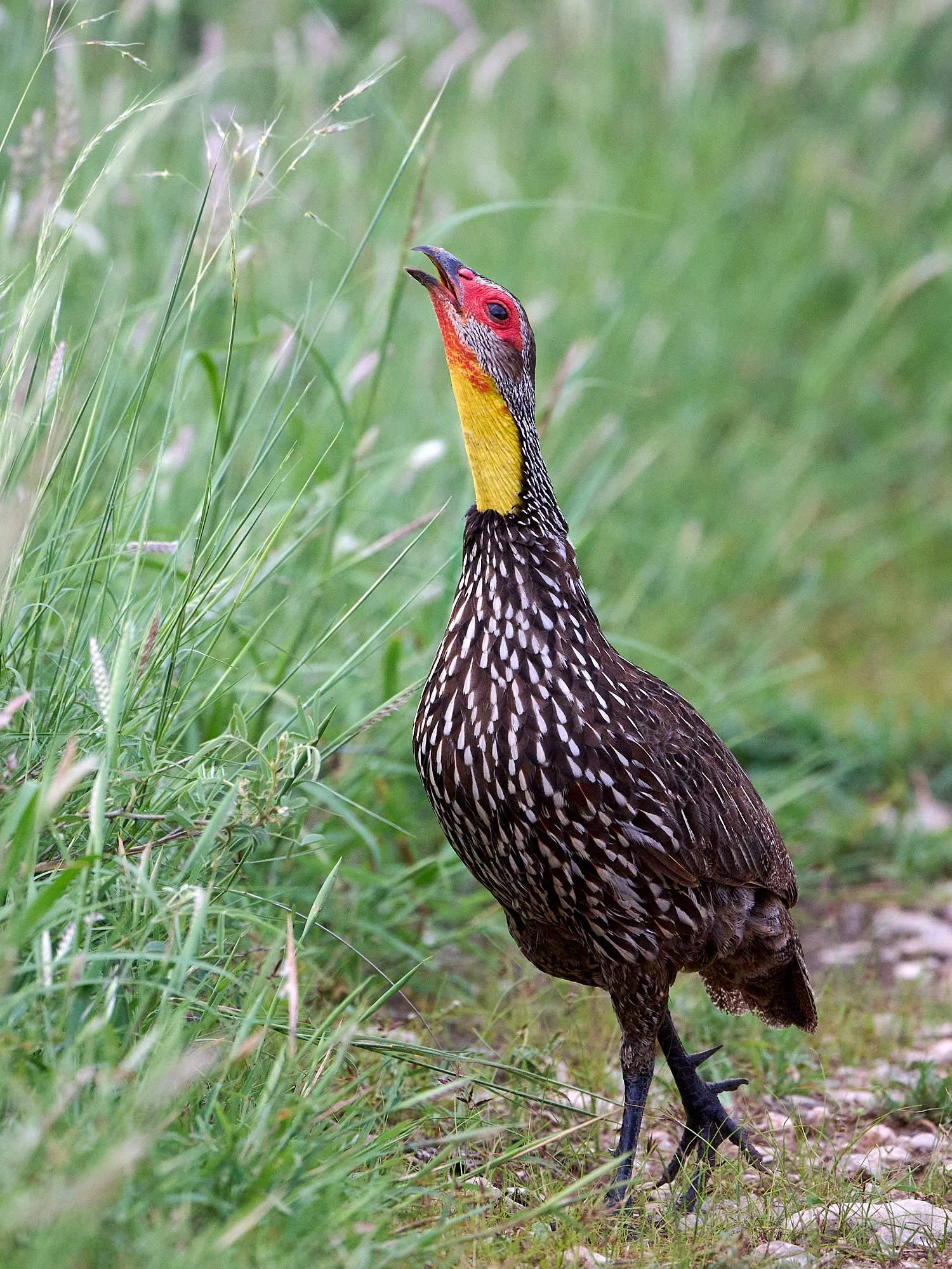
Red-necked Spurfowl
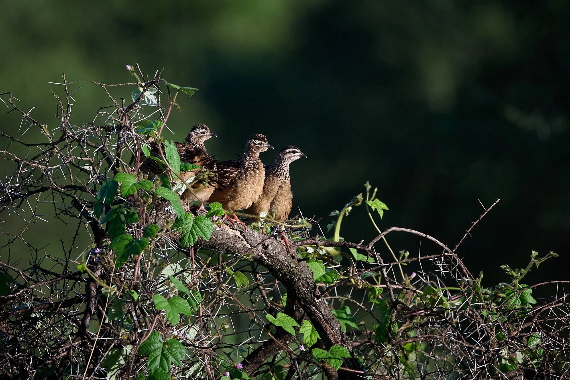
Red-necked Spurfowl chicks
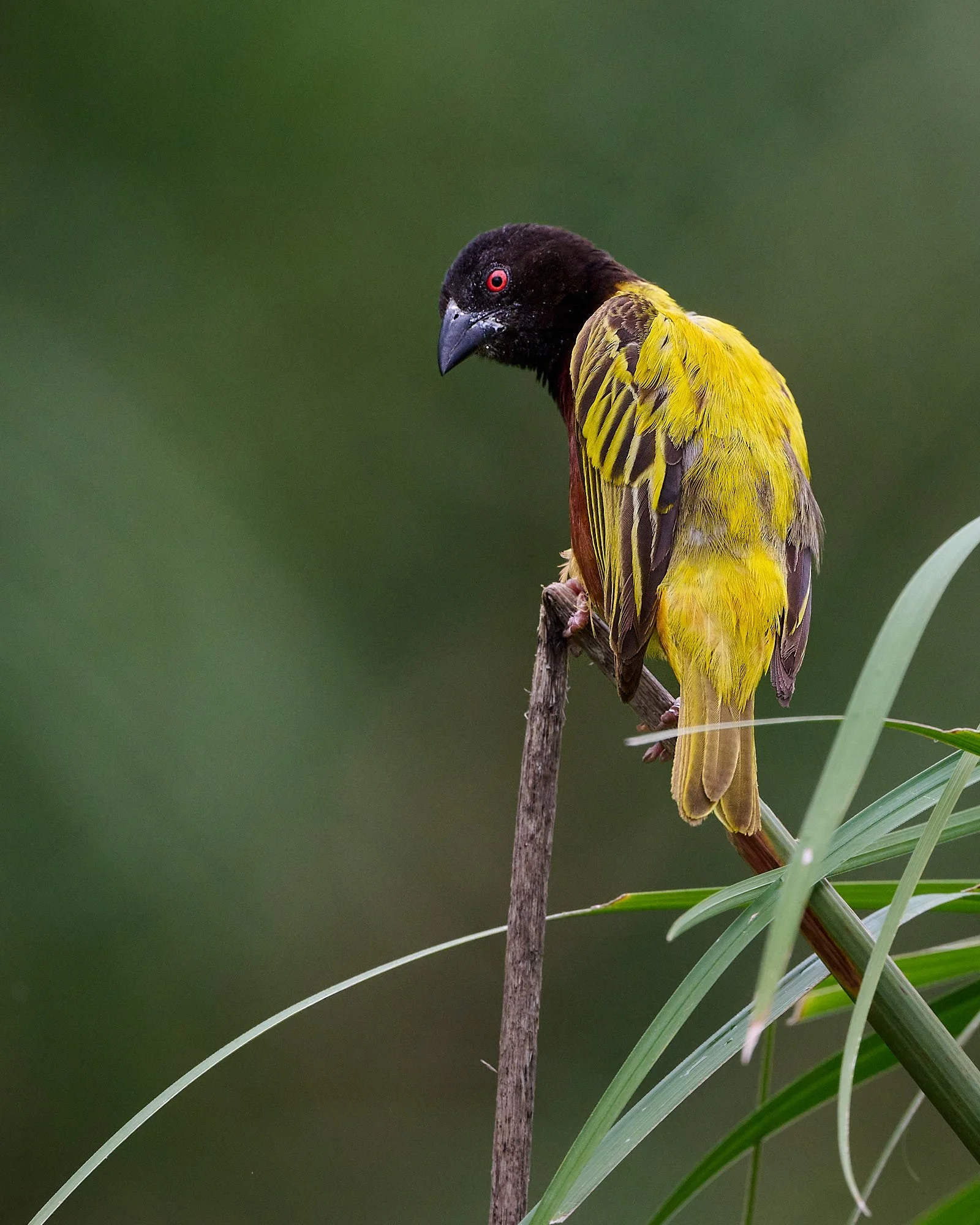
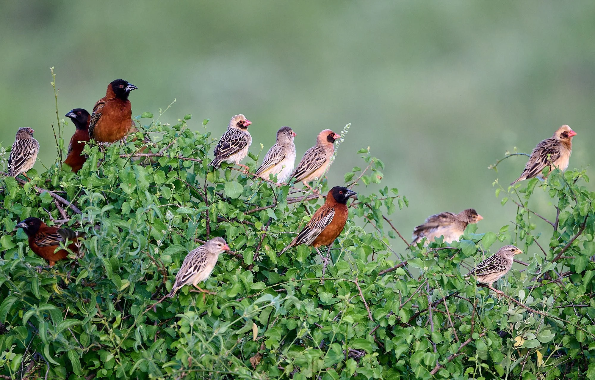
Golden-backed Weaver
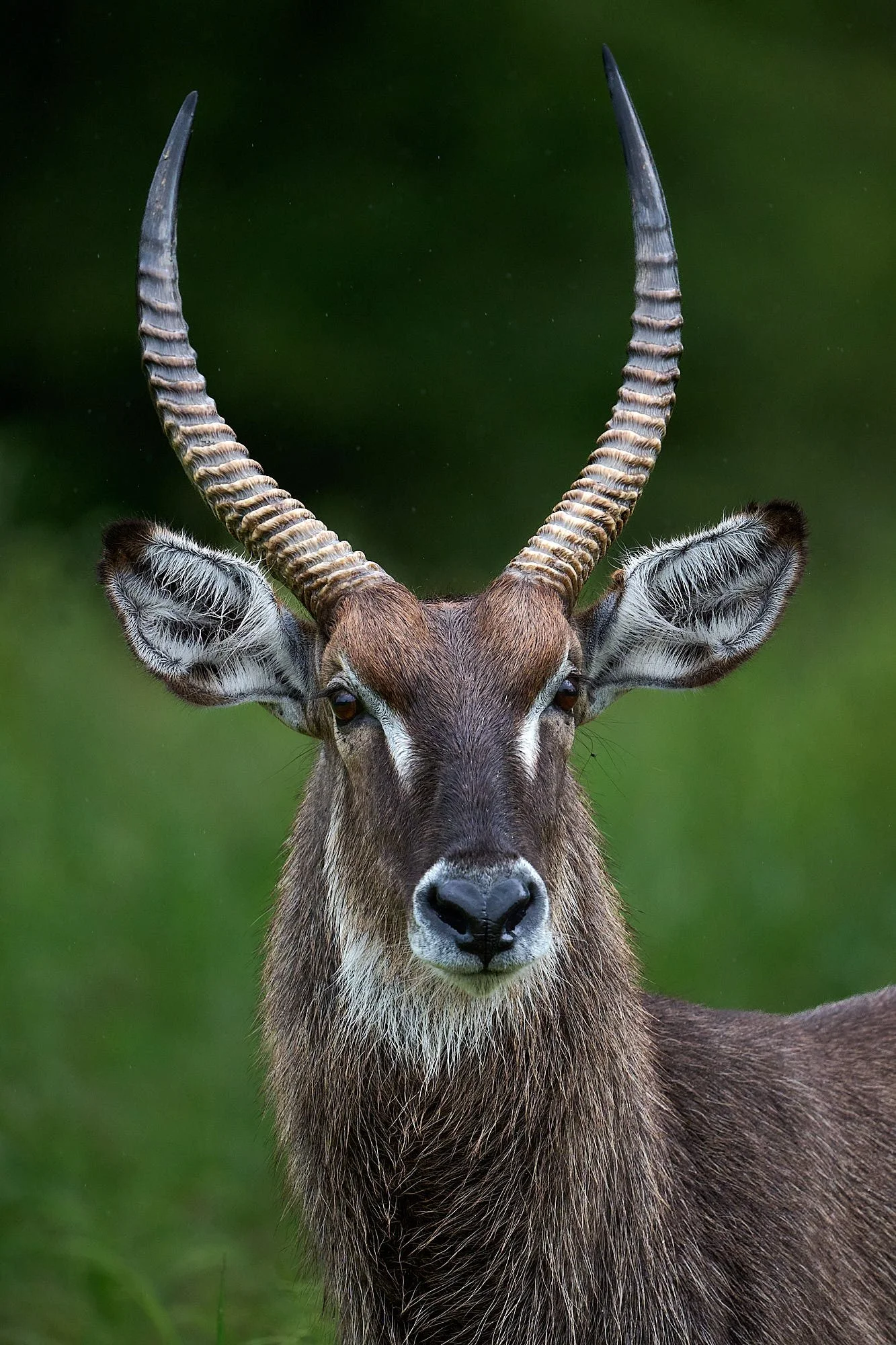
Common Waterbuck
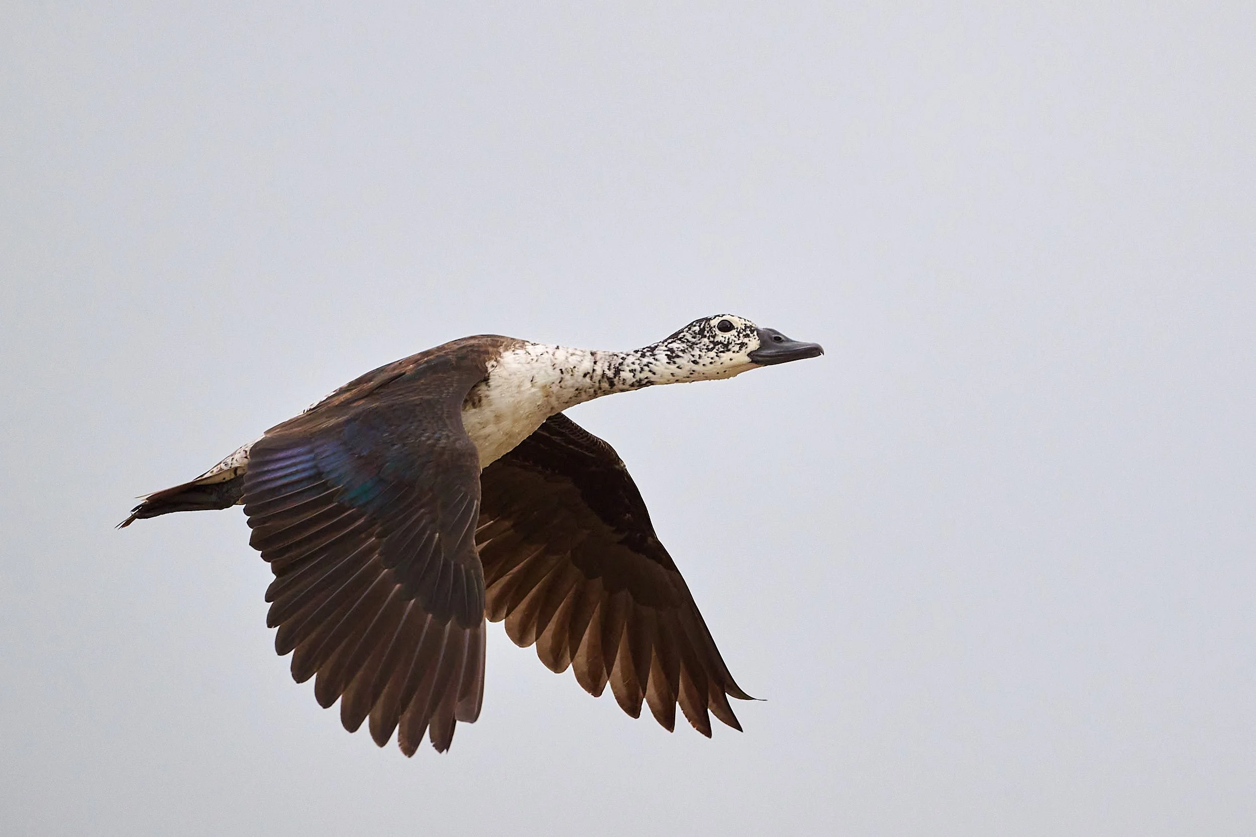
Knob-billed Duck
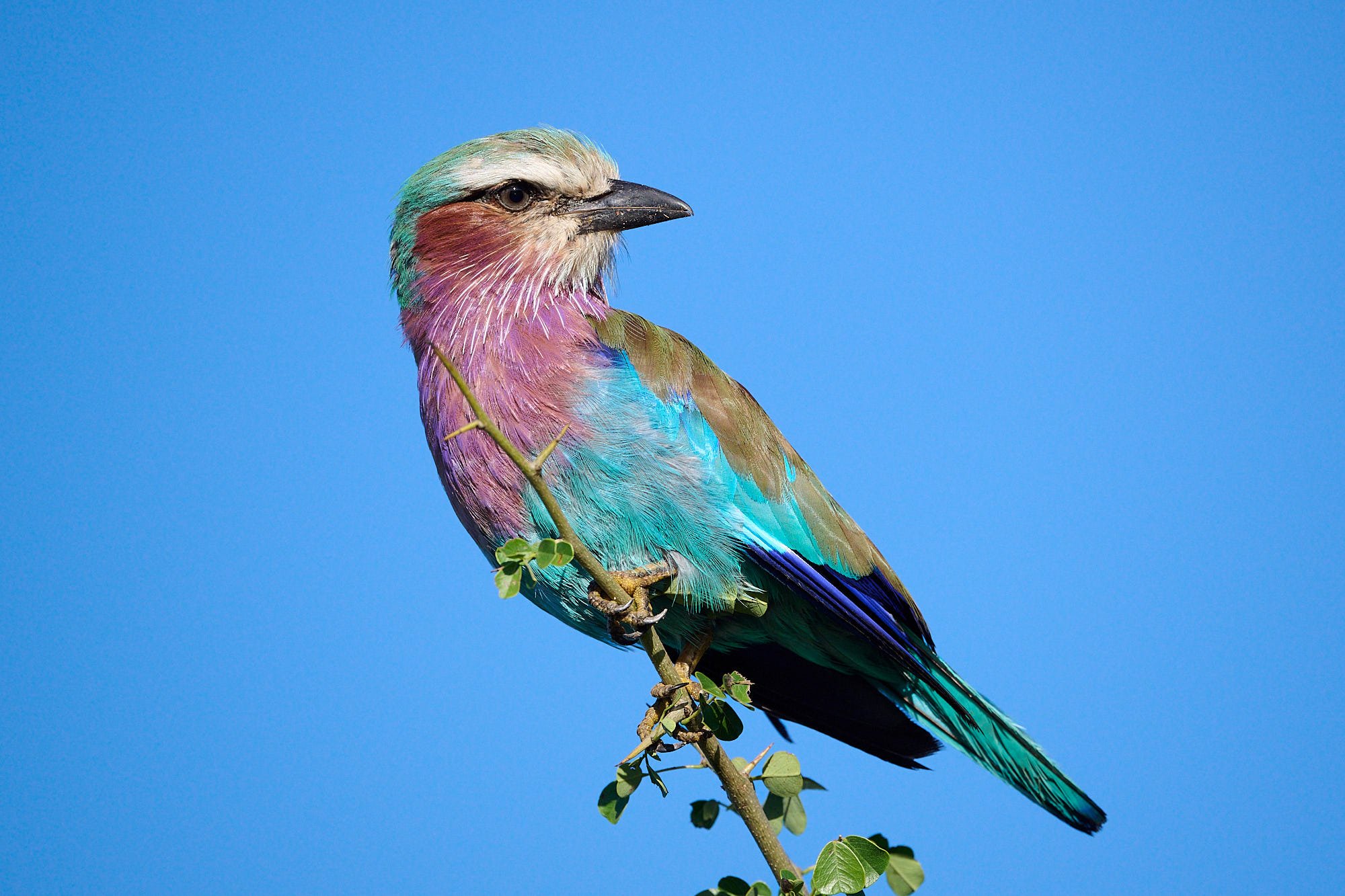
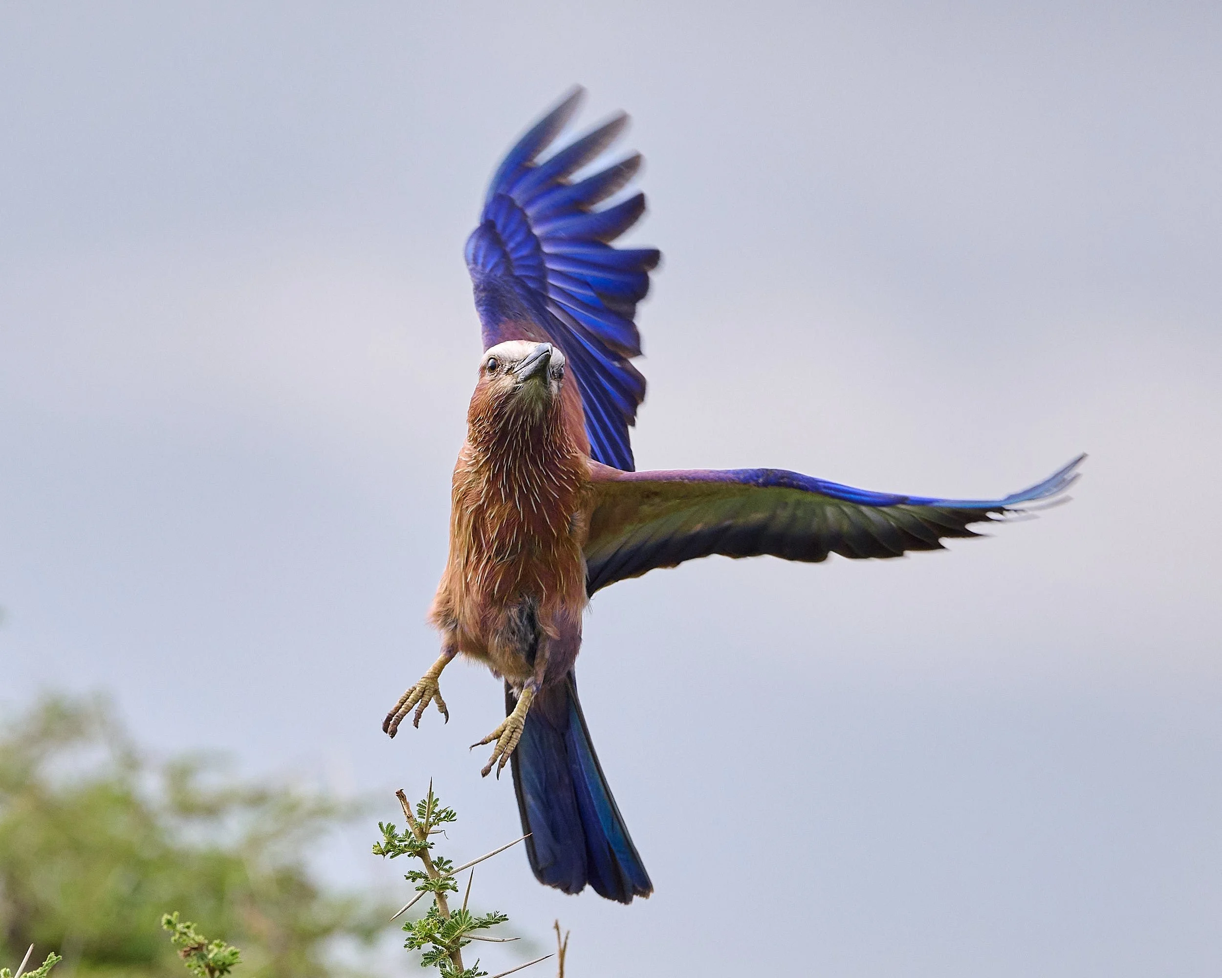
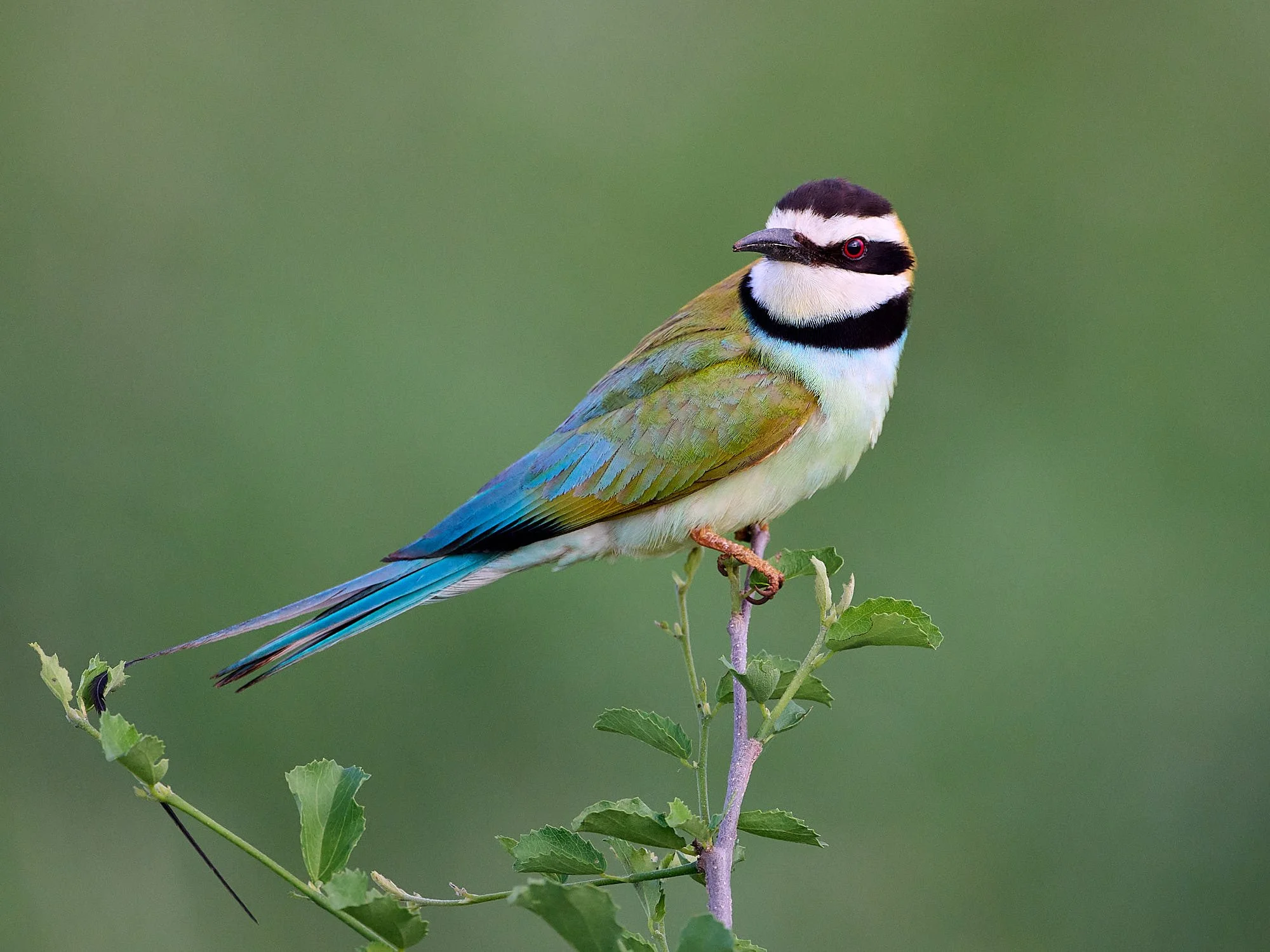
Lilac-breasted Roller
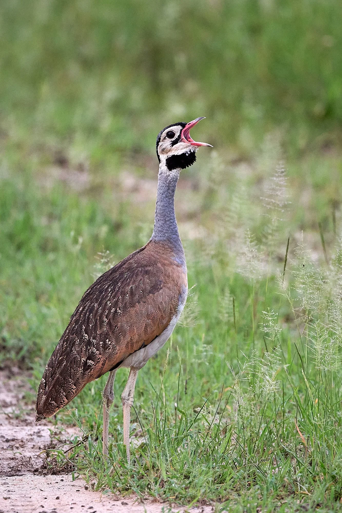
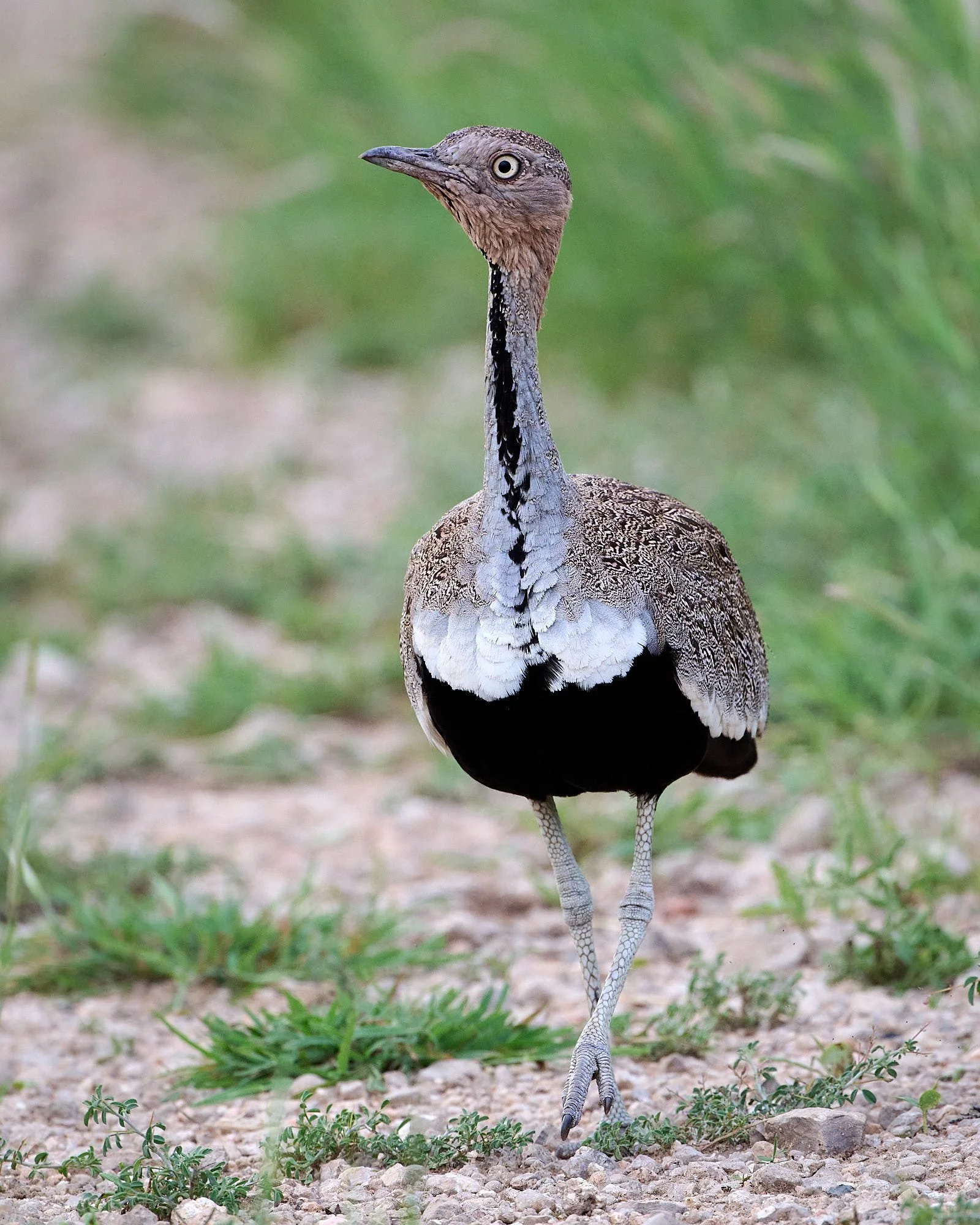
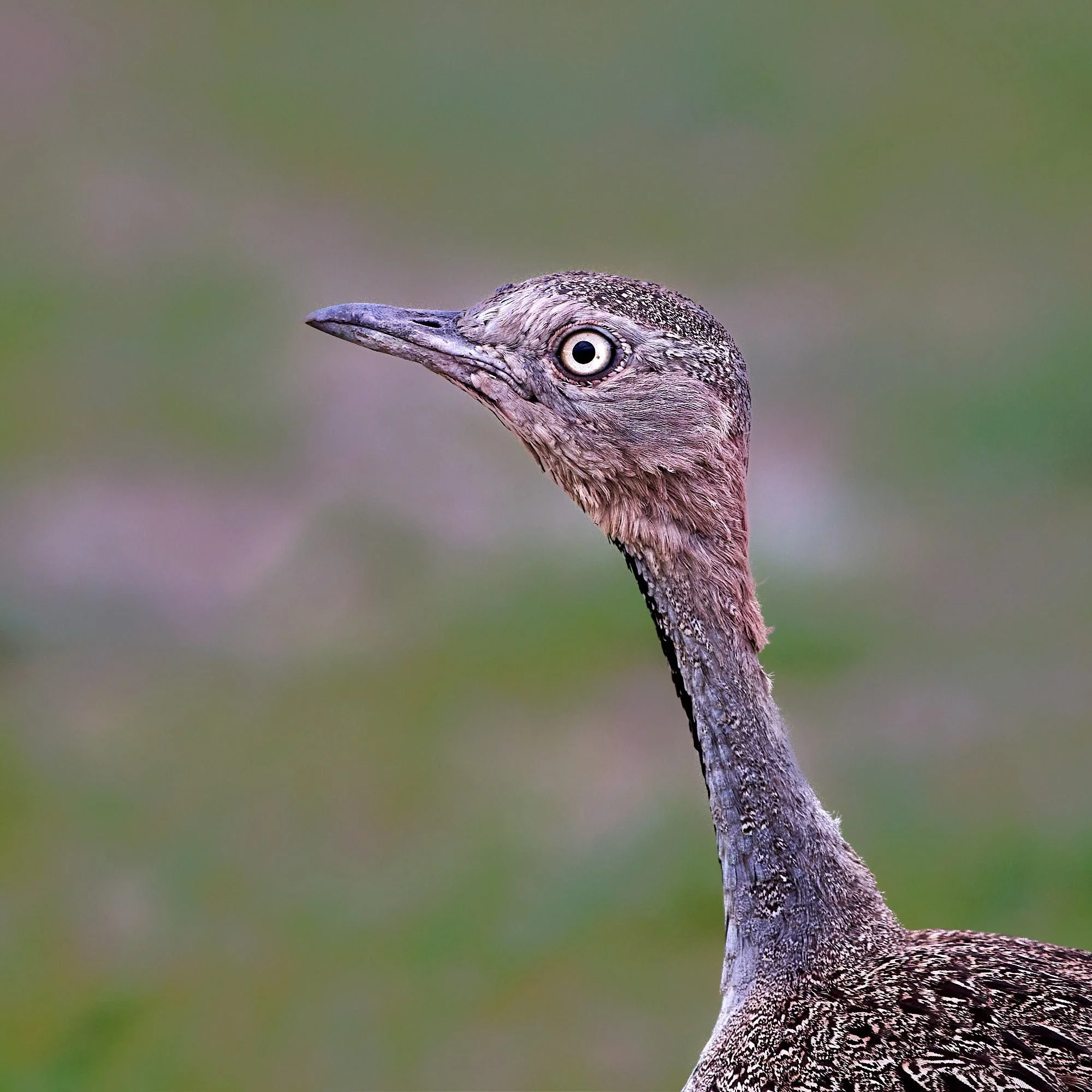
White-bellied Bustard, male
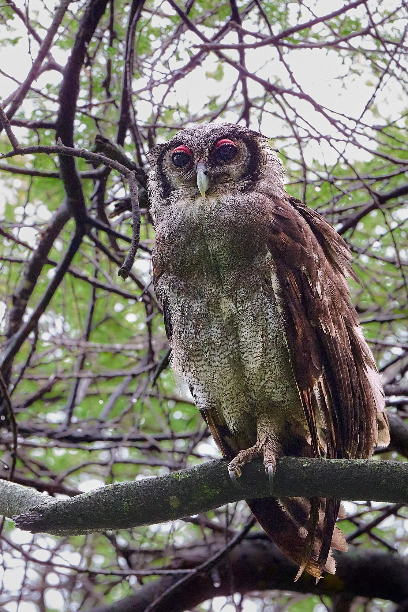
Verreaux's Eagle-Owl
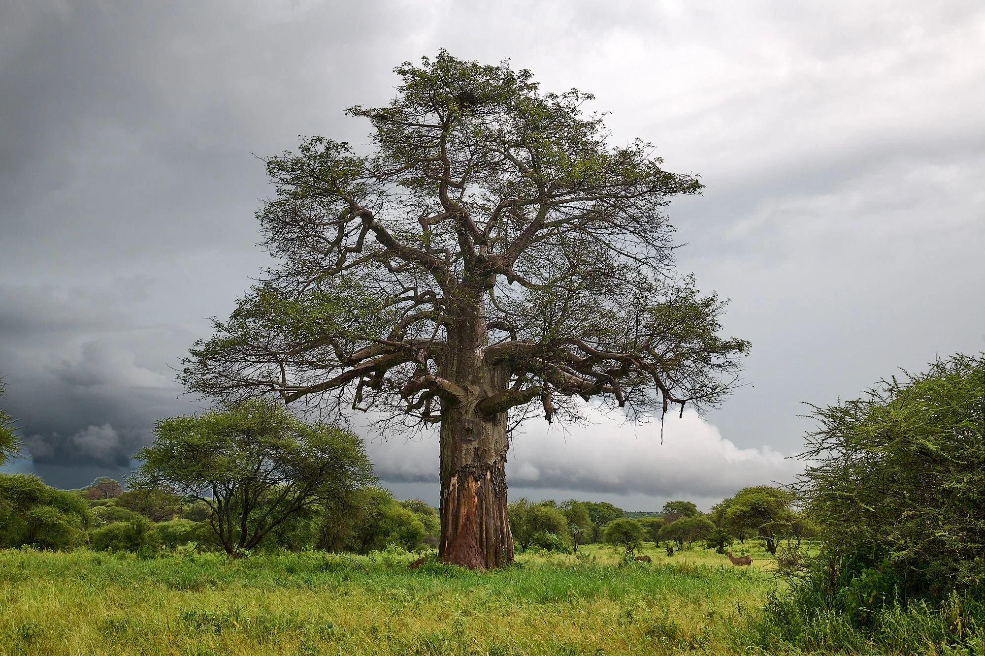
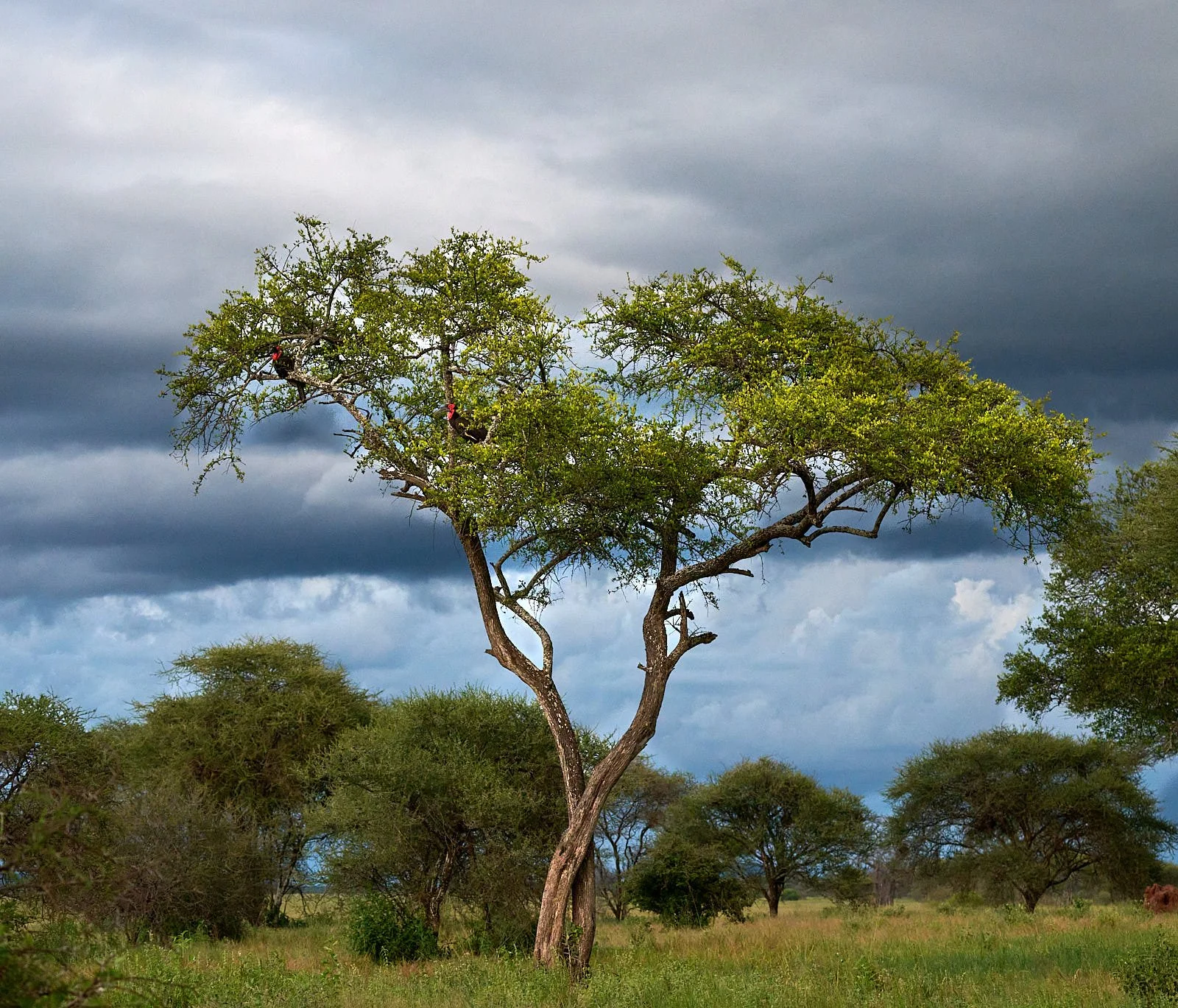
Storm and baobab, Tarangire National Park
Rufous-naped Lark
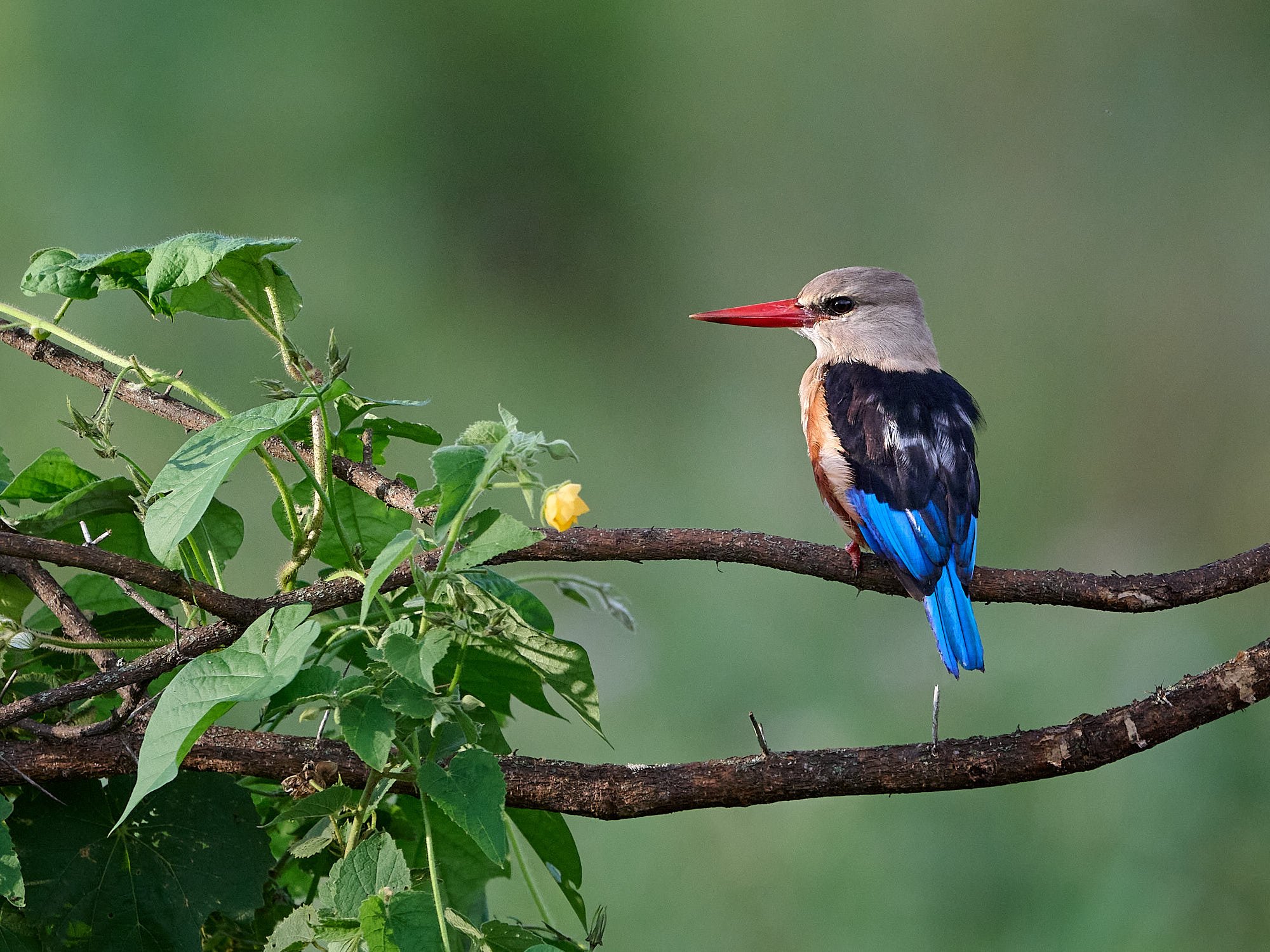
Gray-headed Kingfisher
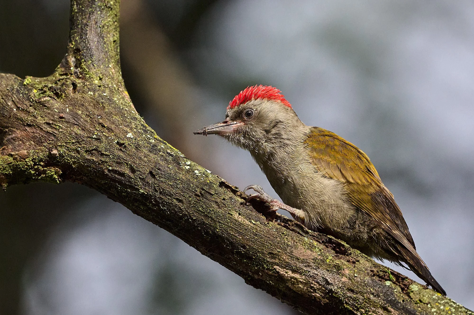
African Gray Woodpecker
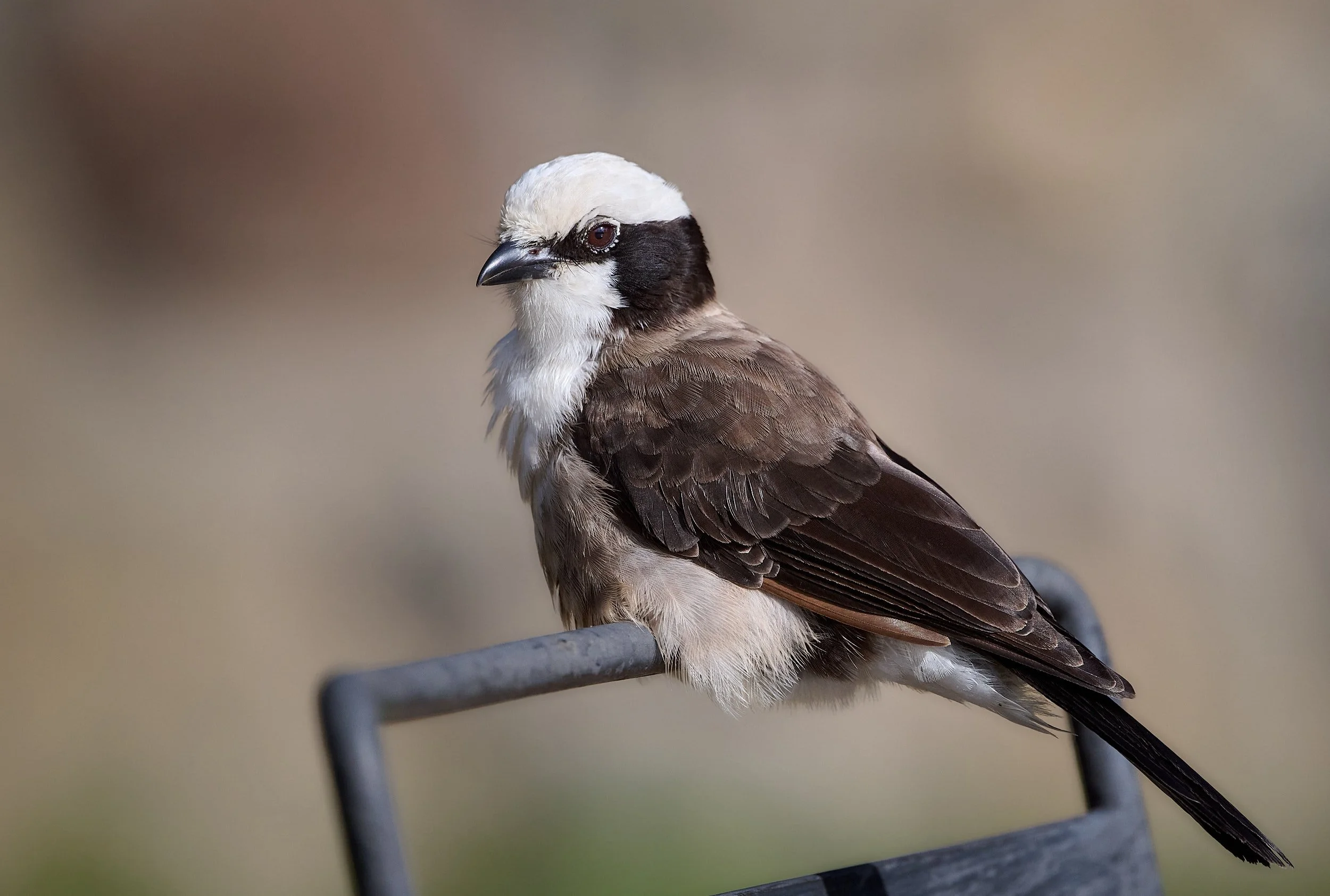
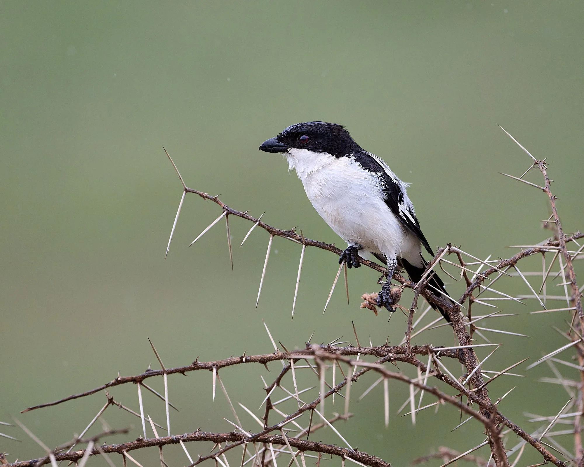
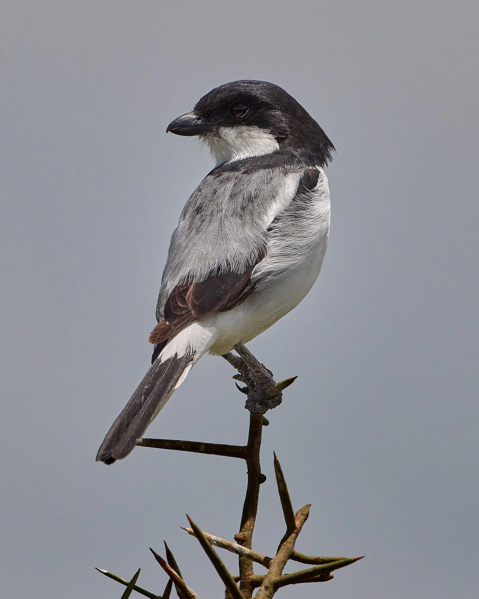
White-rumped Shrike
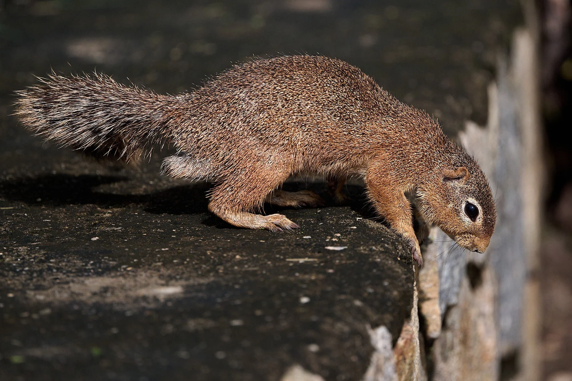
Unstriped Ground Squirrel
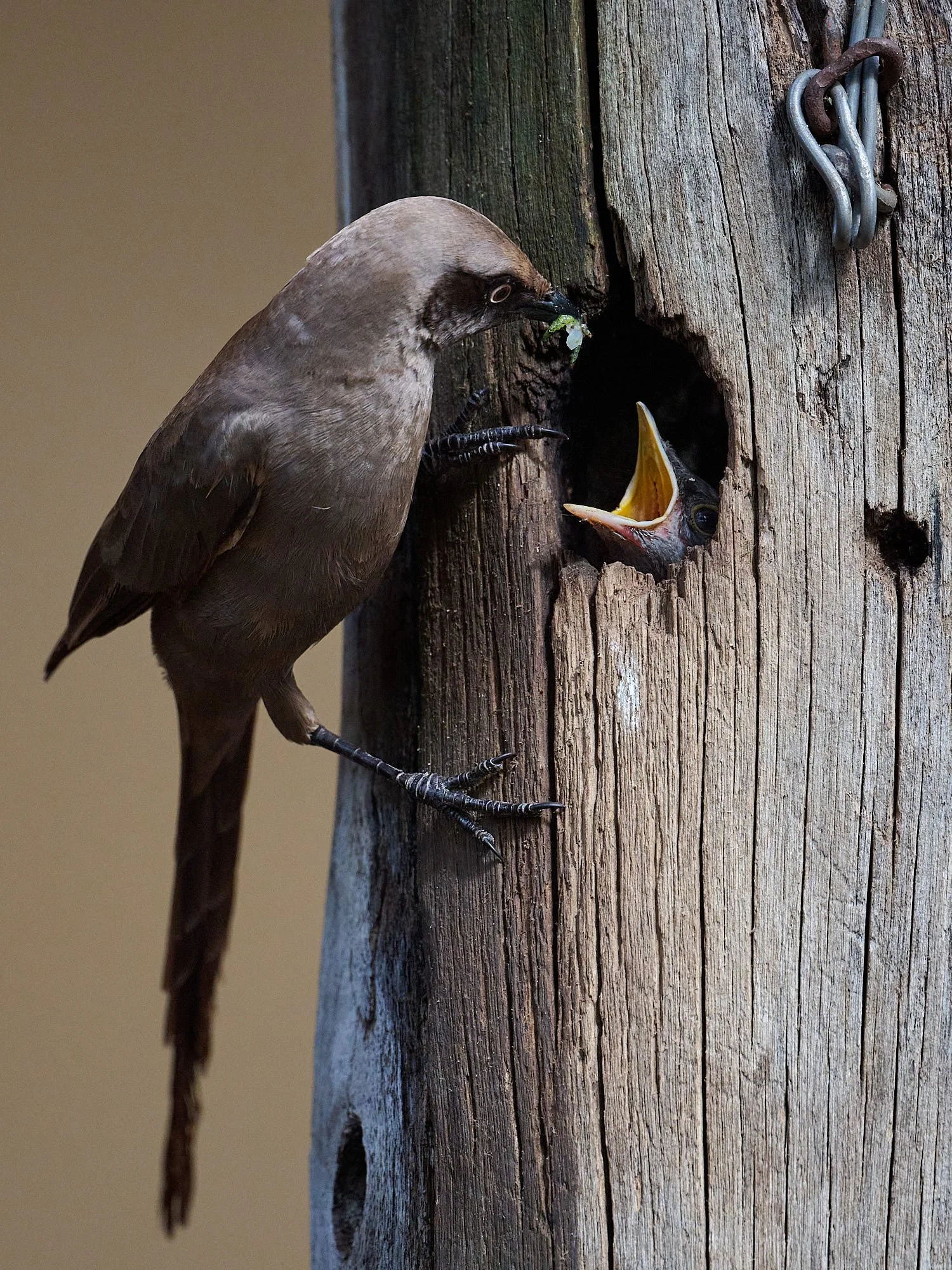
Ashy Starling feeding insect to chick
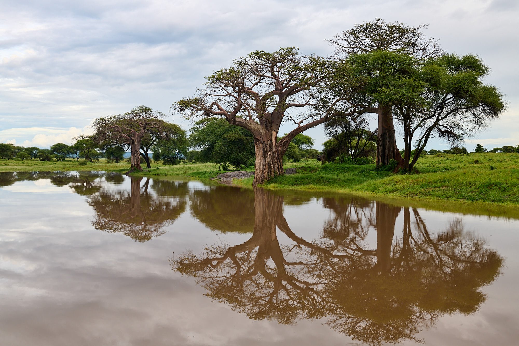
Flooded backwater lagoon, Tarangire river
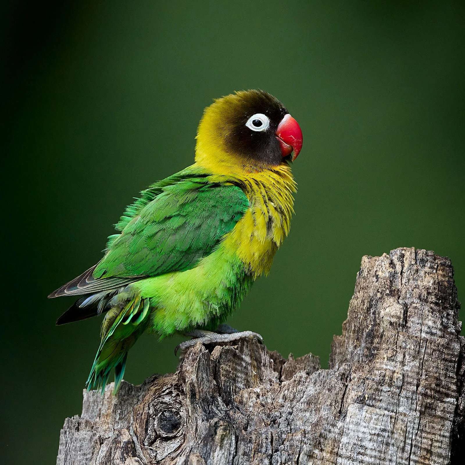
Yellow-collared Lovebird
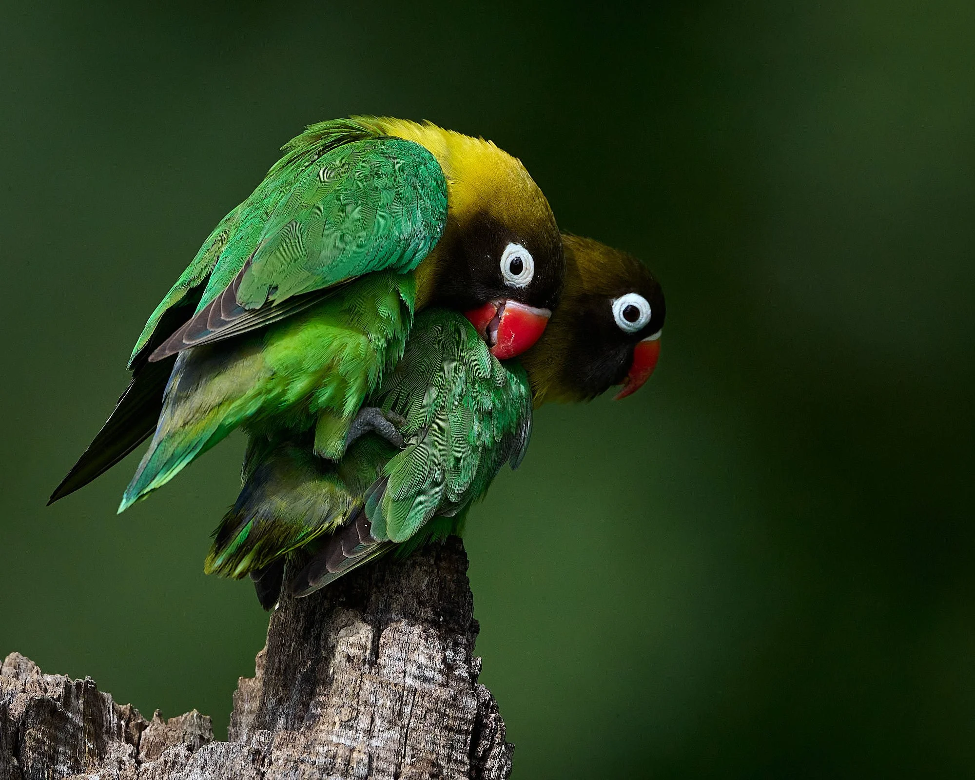
Yellow-collared Lovebirds living up to their name
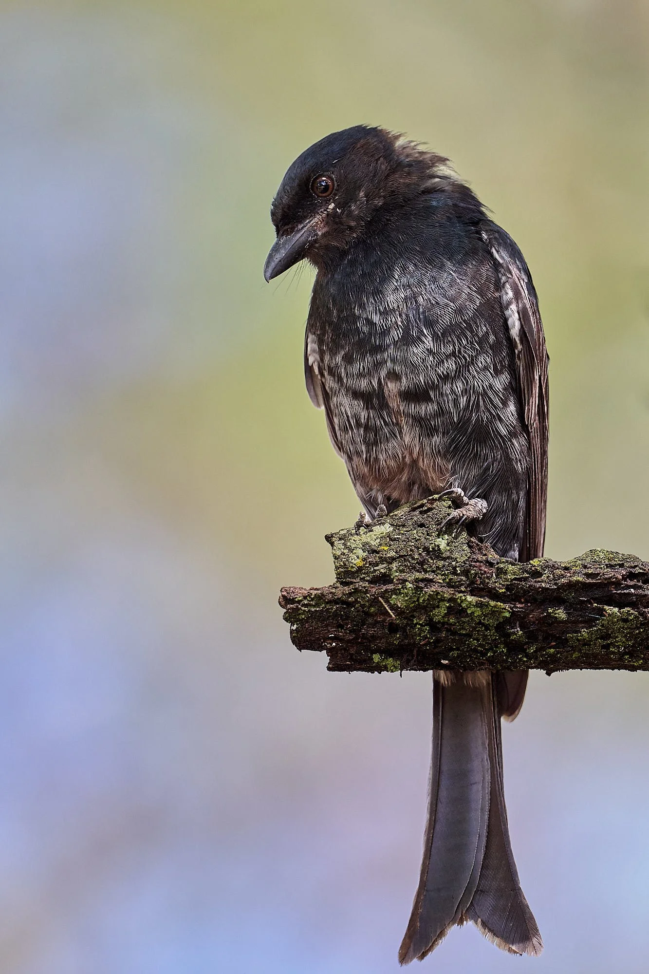
Fork-tailed Drongo, juvenile
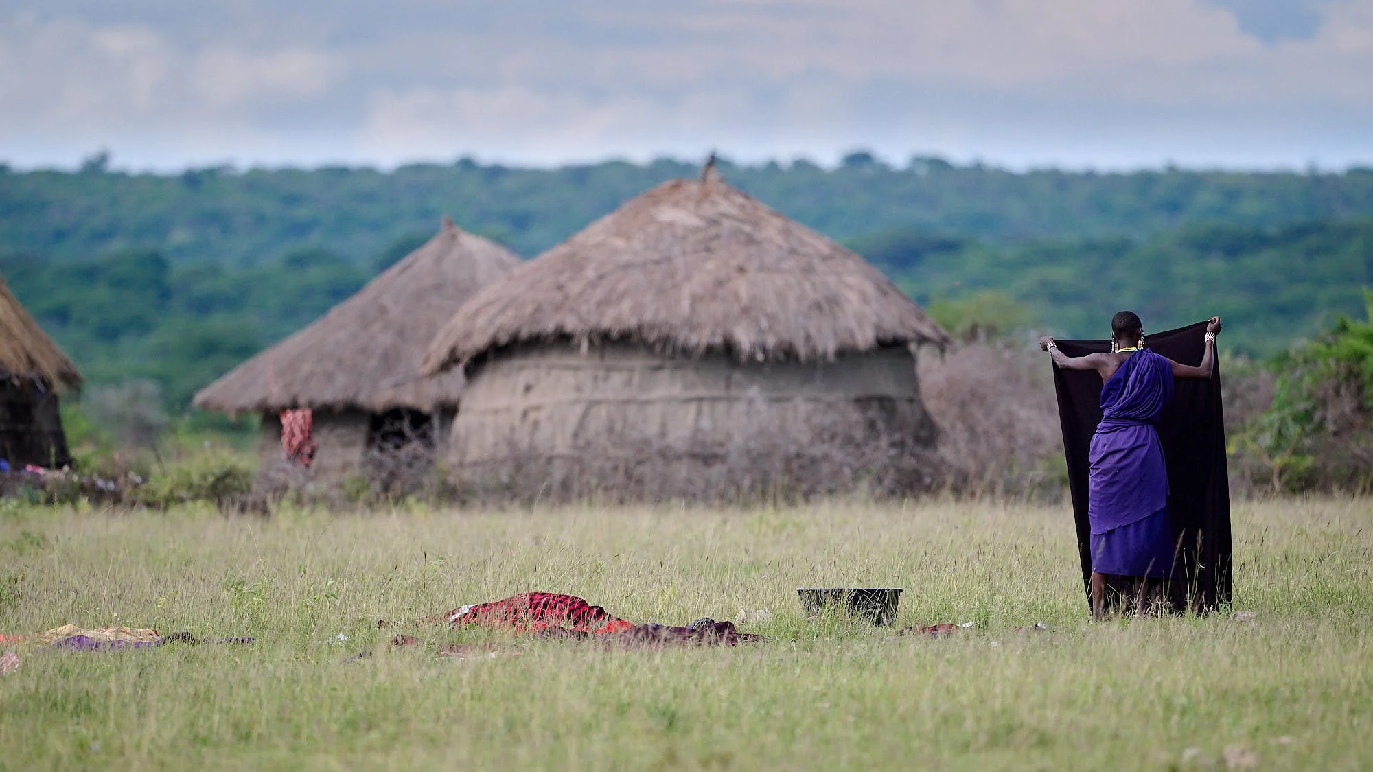
Laundry at Masai village near Lake Manyara
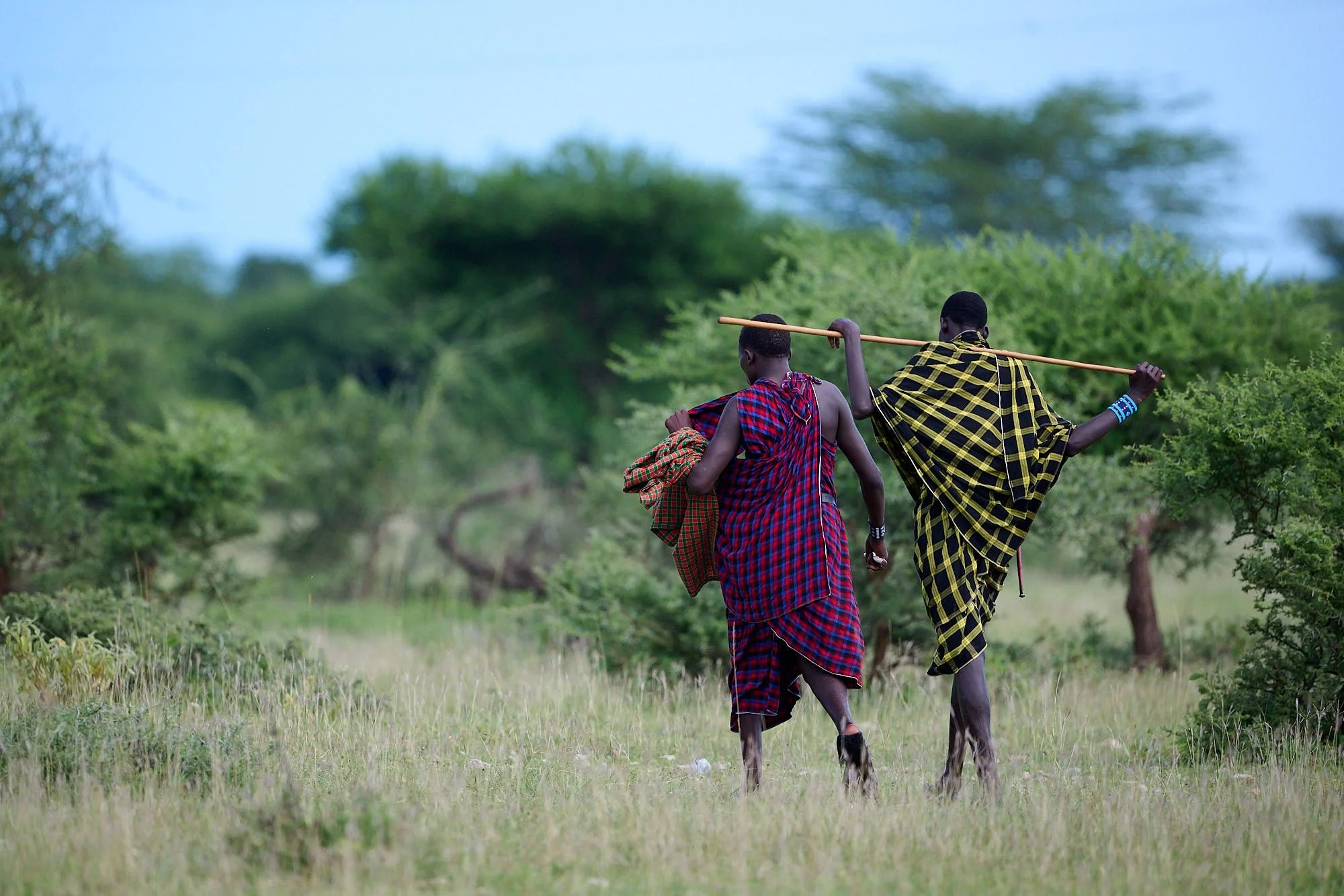
Traditional Masai attire
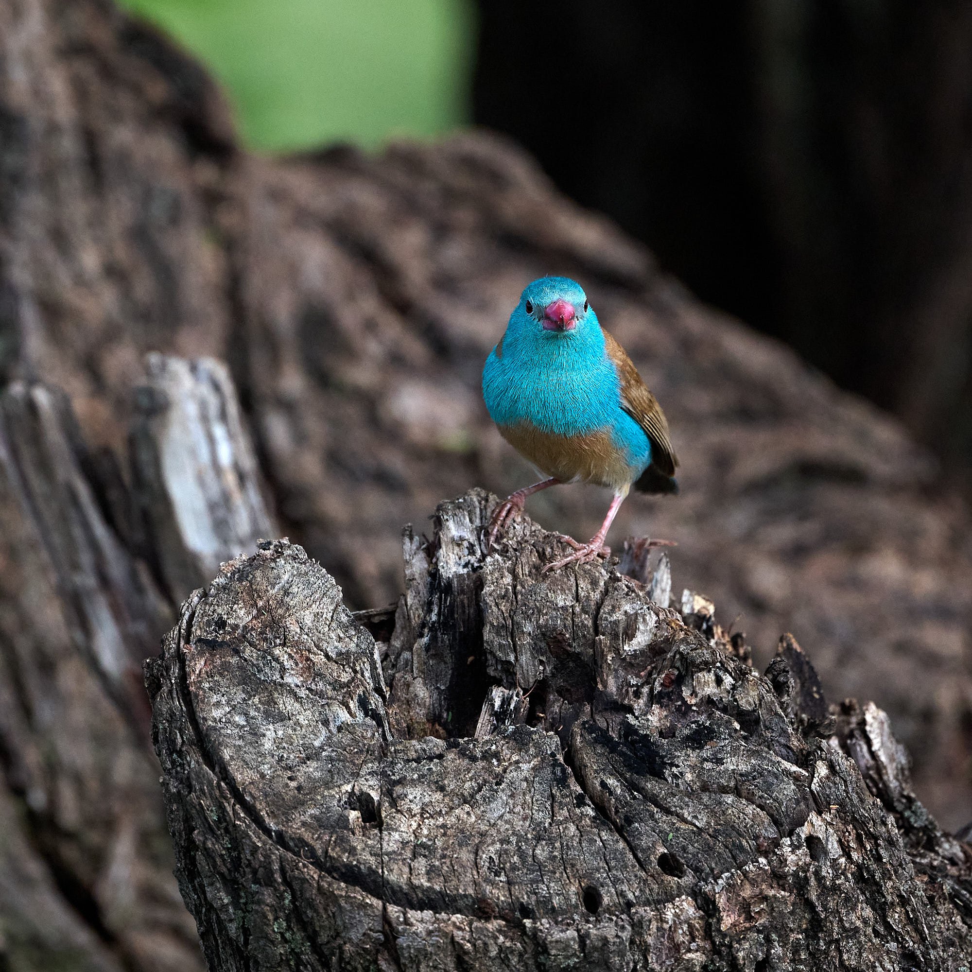
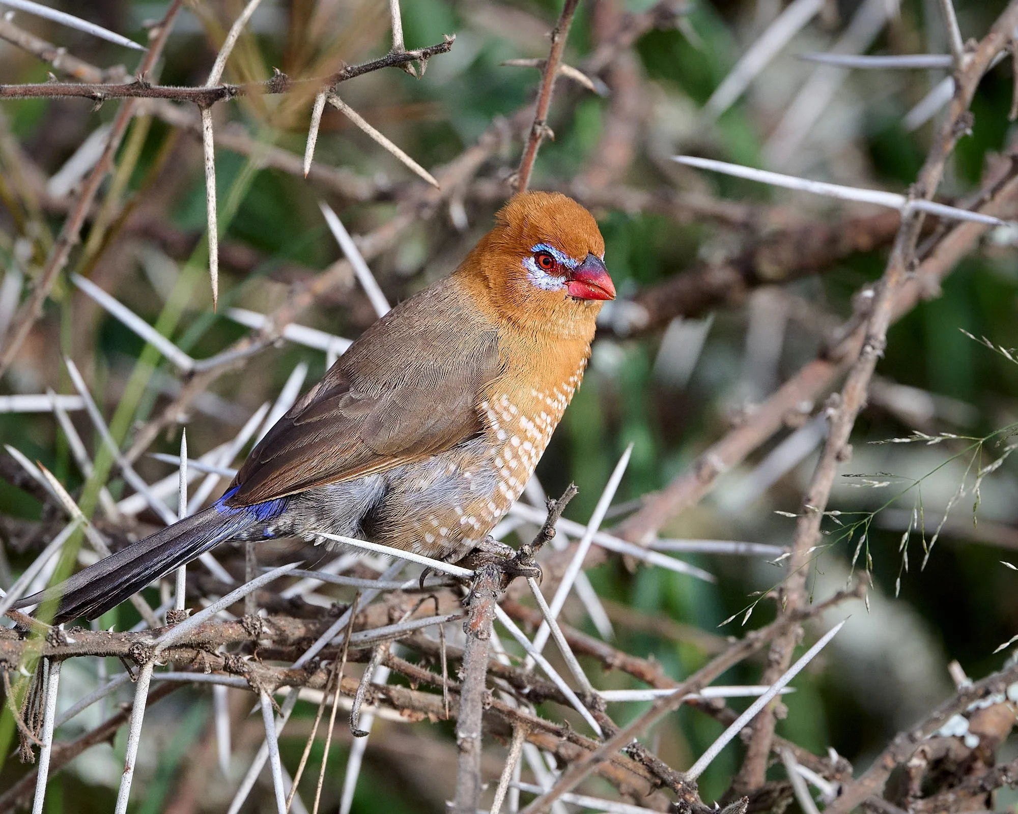
Blue-capped Cordonbleu
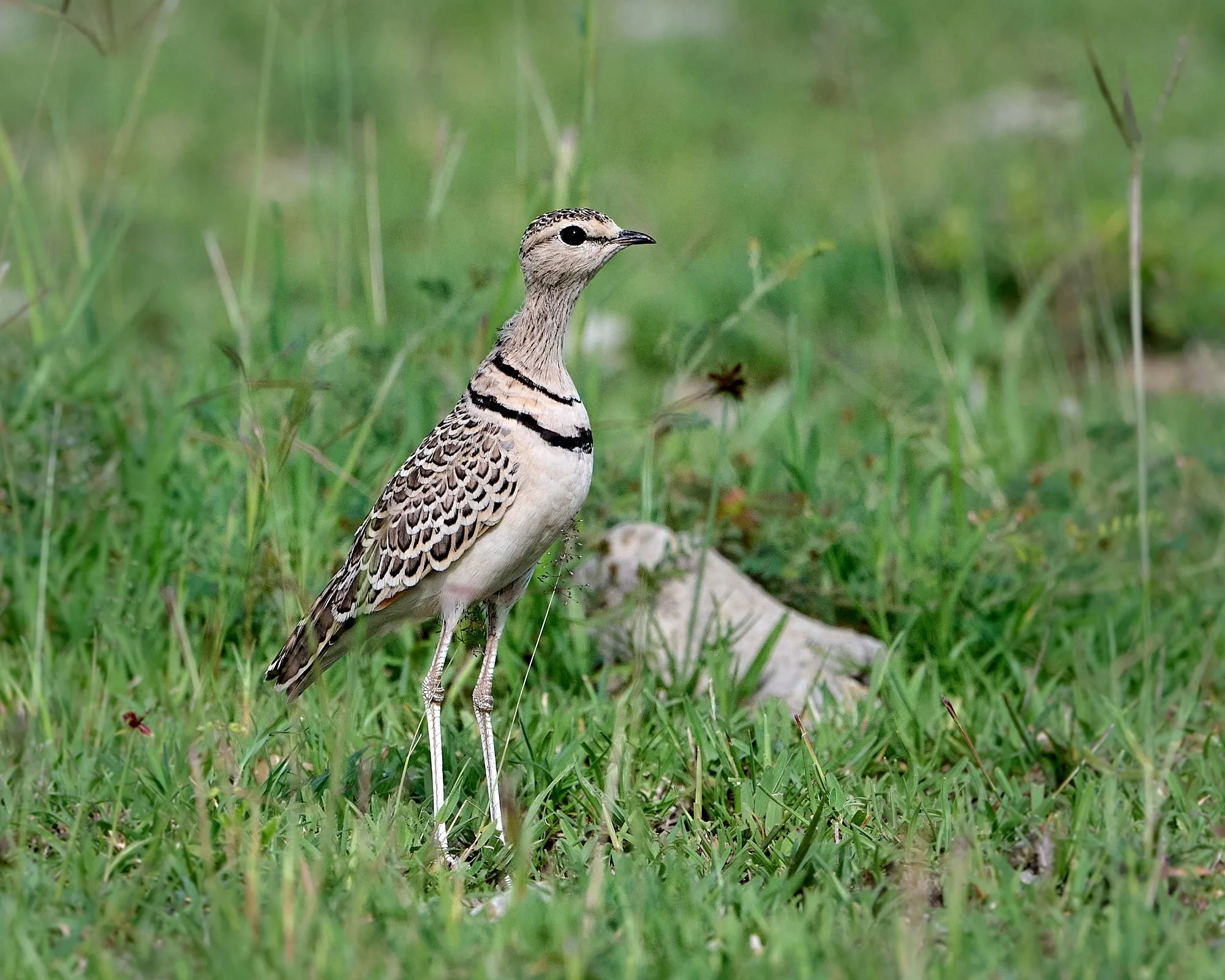
Double-banded Courser
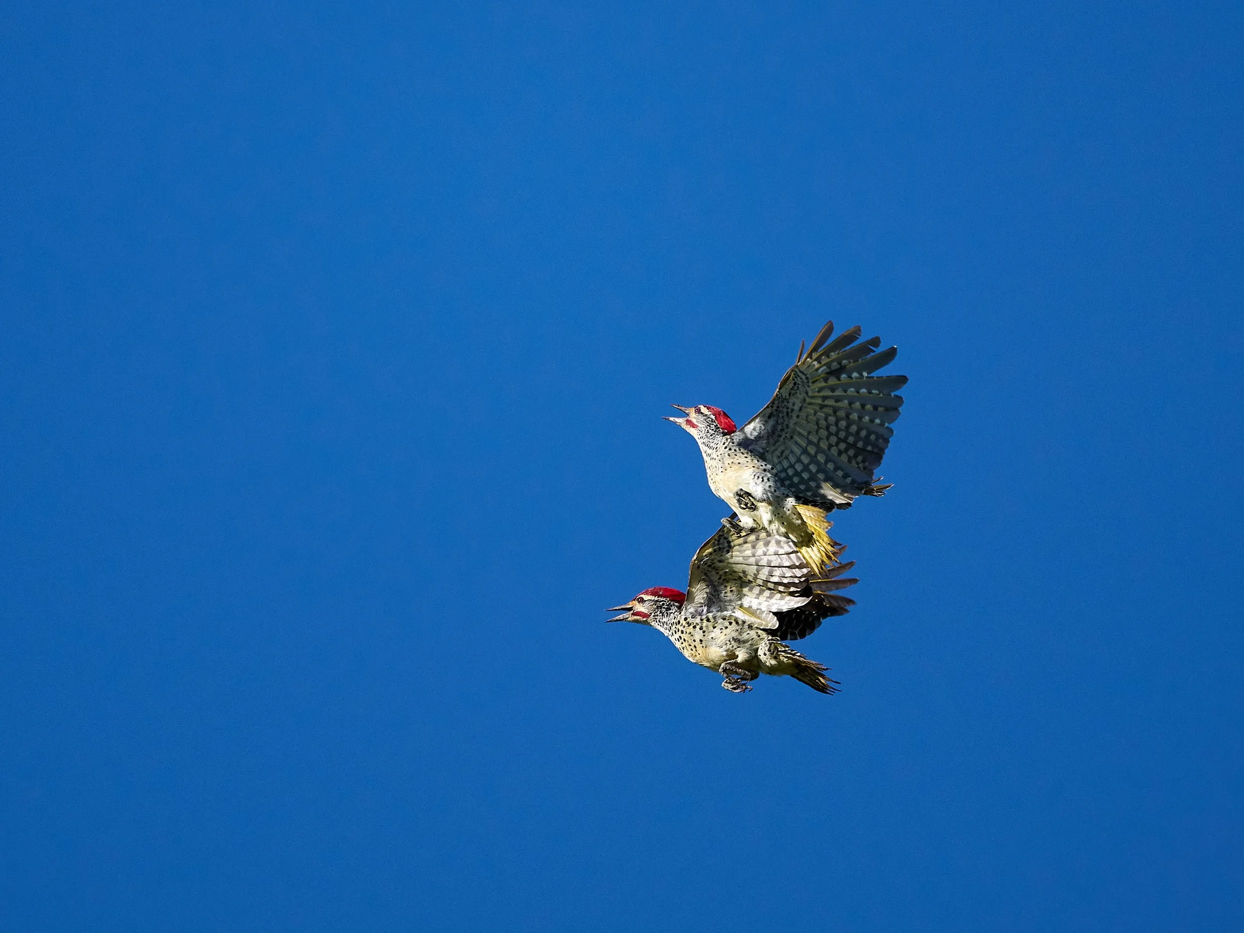
Nubian Woodpeckers displaying
Southern Ground Hornbills settling down for the evening rains
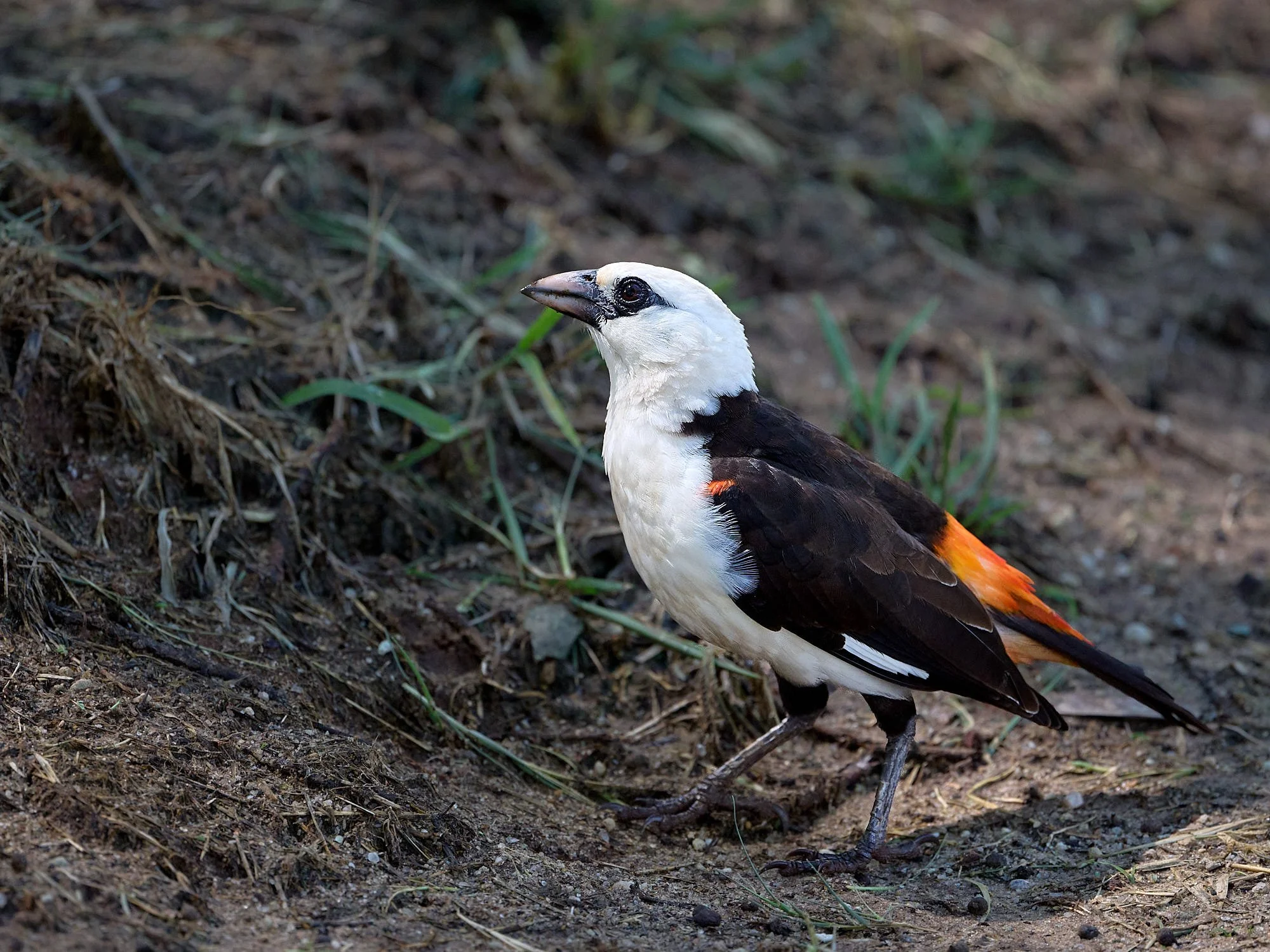
White-headed Buffalo-Weaver
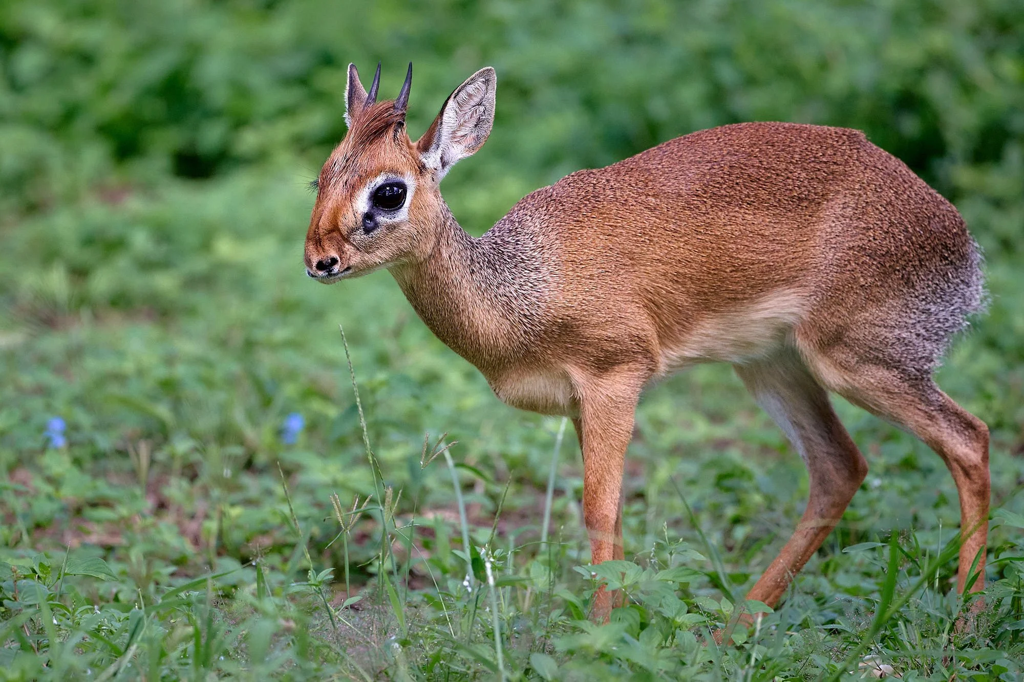
Thomas’s Dik-dik
Long Rains
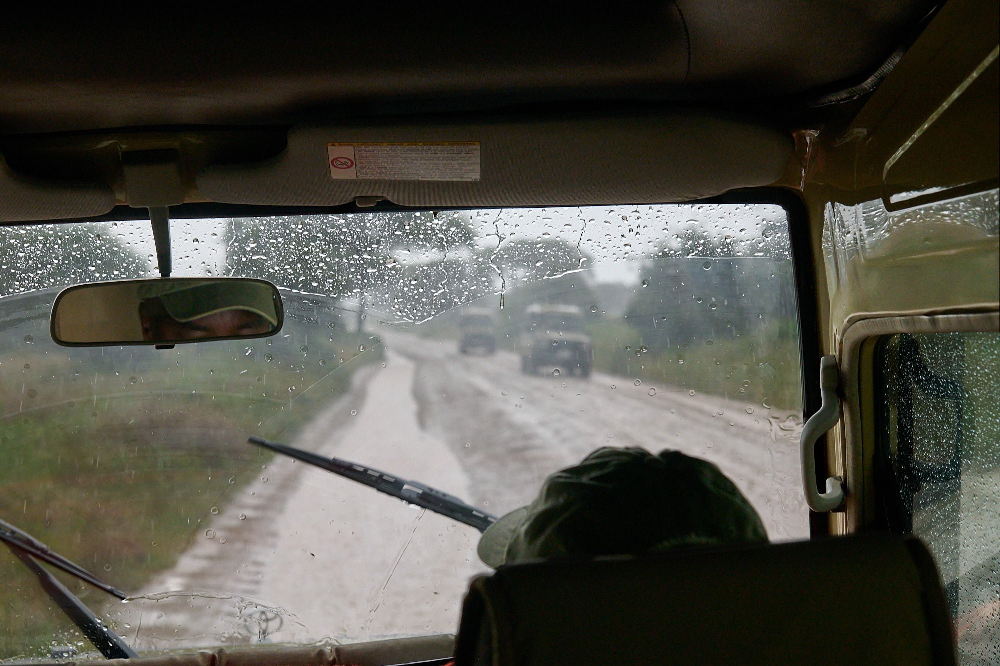
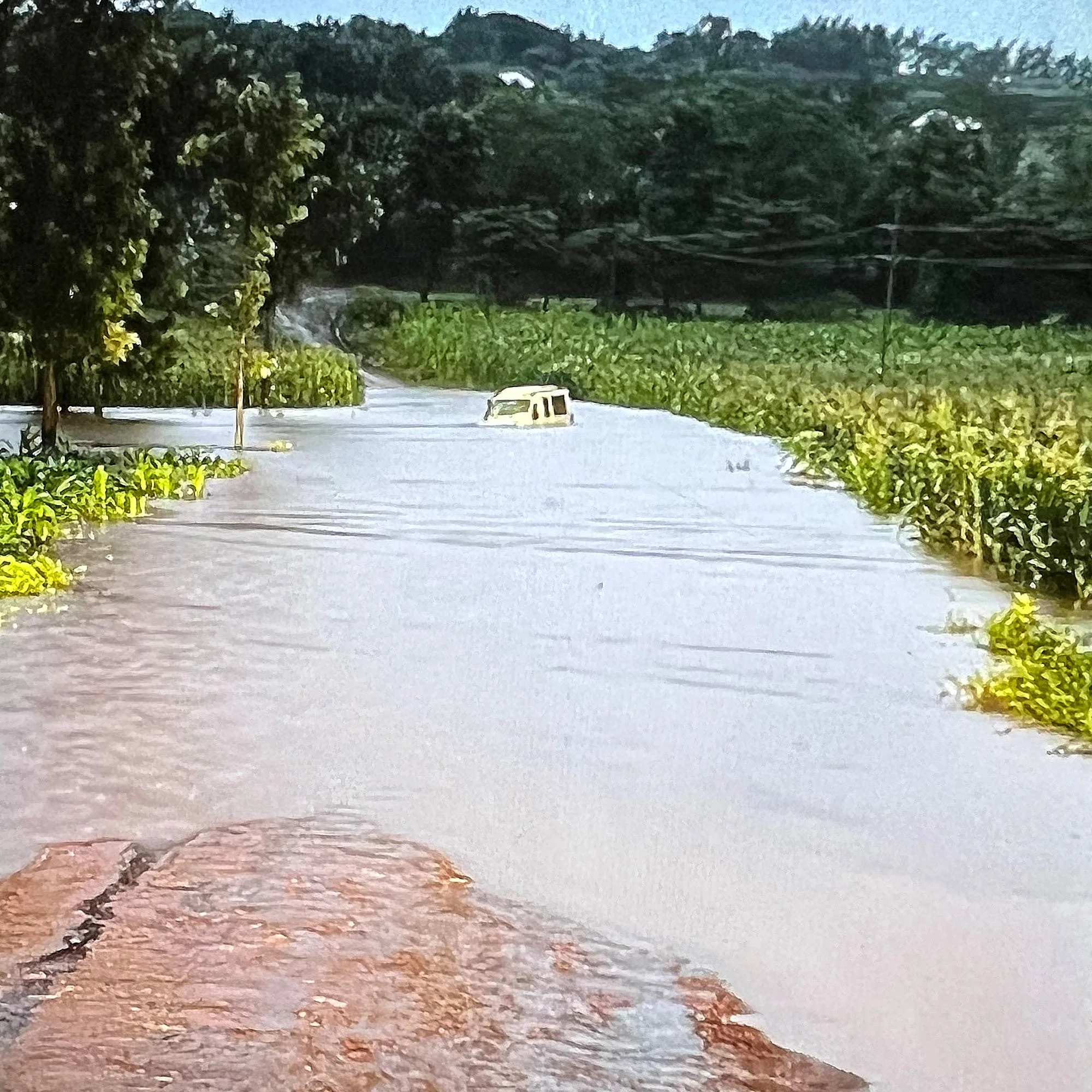
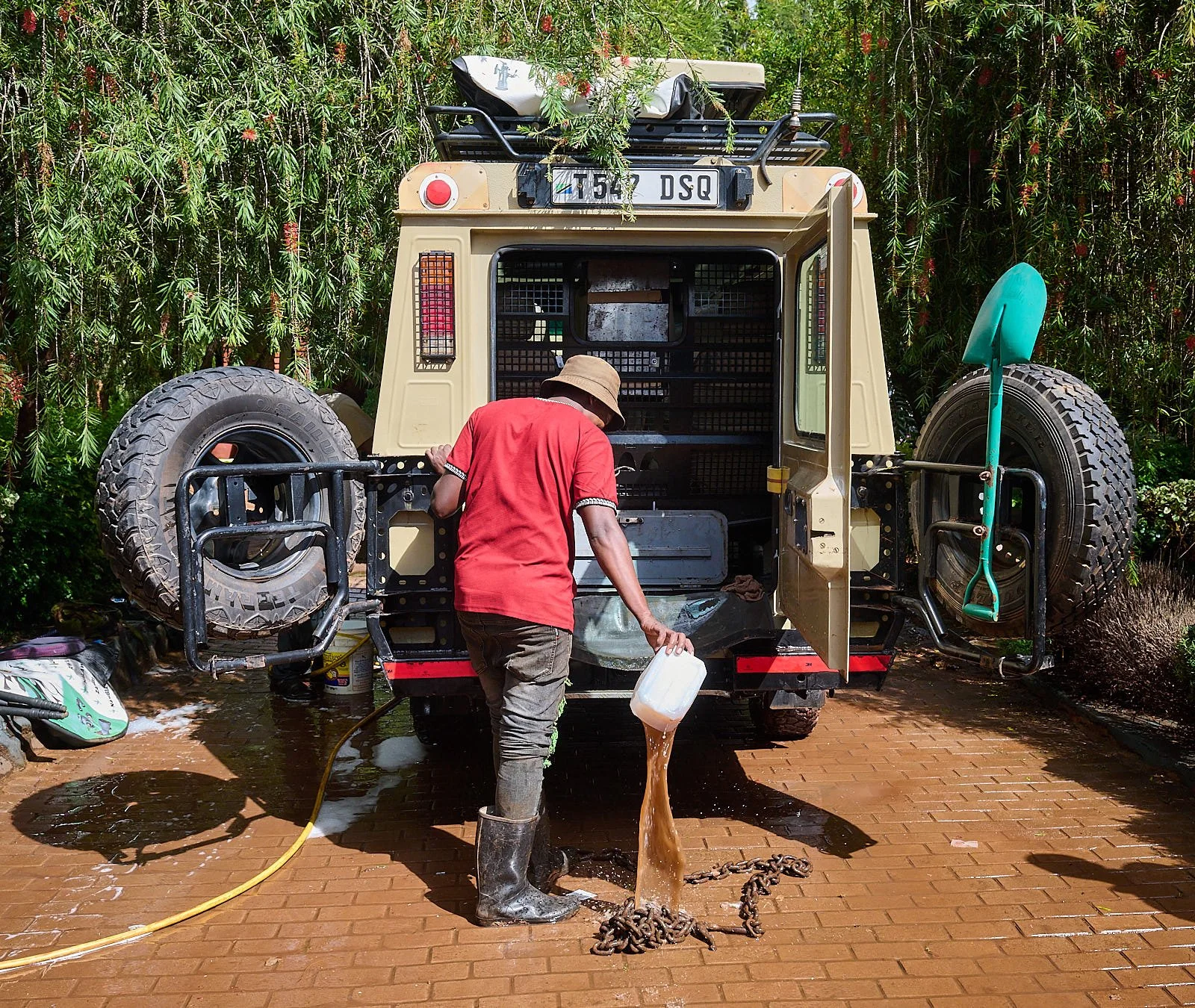
From late March and into May, torrential rains, floods and landslides pummeled Kenya, Tanzania and Burundi. After leaving Tarangire, we visited a Masaai village and then ascended the Gregory escarpment to the Ngorongoro highlands. That night it rained continuously. The locals said they had never known rain like it, and we awoke to find the roads all blocked by flooding and our vehicle abandoned amid the muddy waters. It was towed to the lodge, drained of water, cleaned and a mechanic worked on the engine. That night it poured again, but by midday, the water streaming over our exit road had subsided sufficiently for a tractor to pull our Toyota to other side.
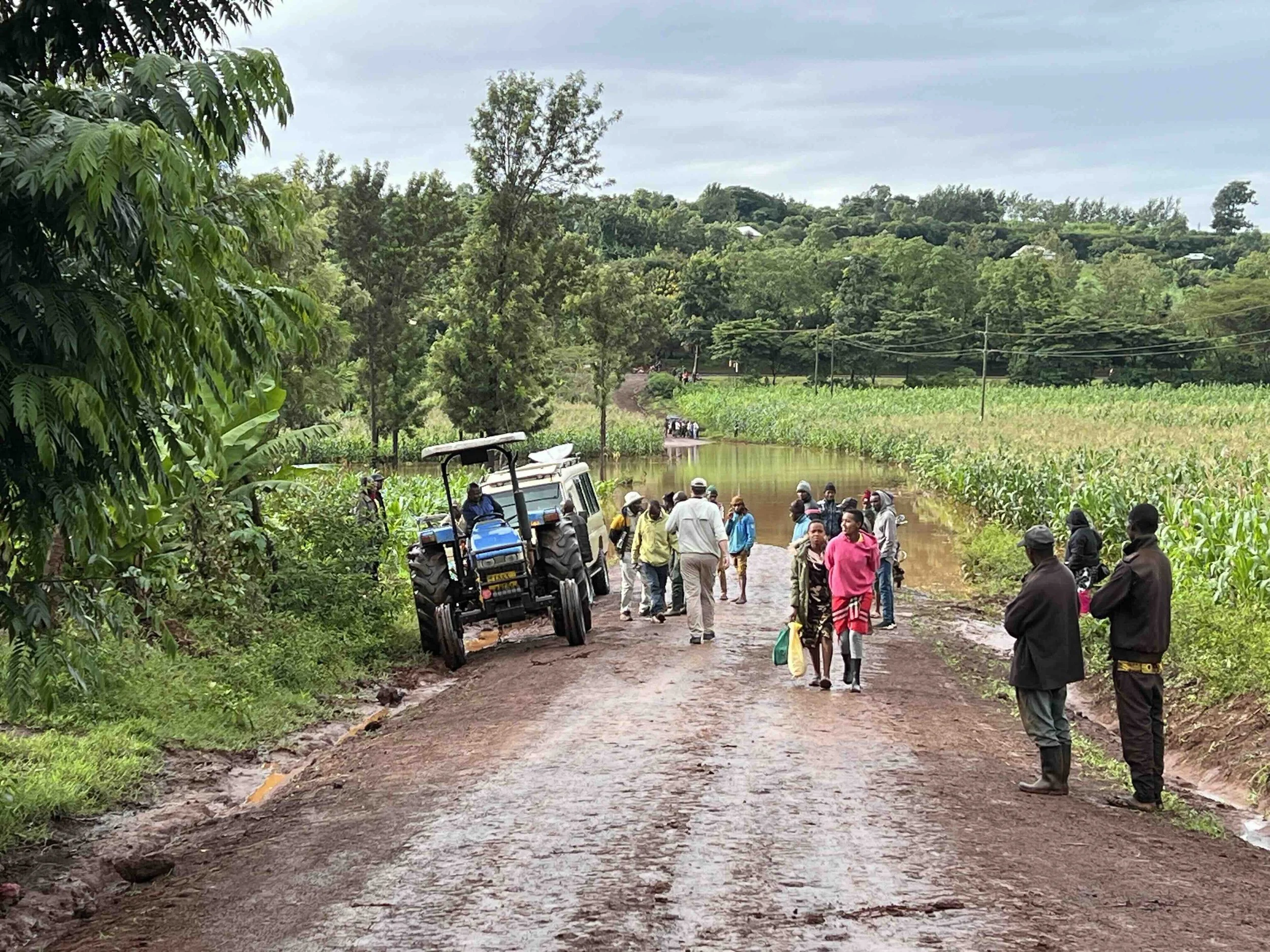
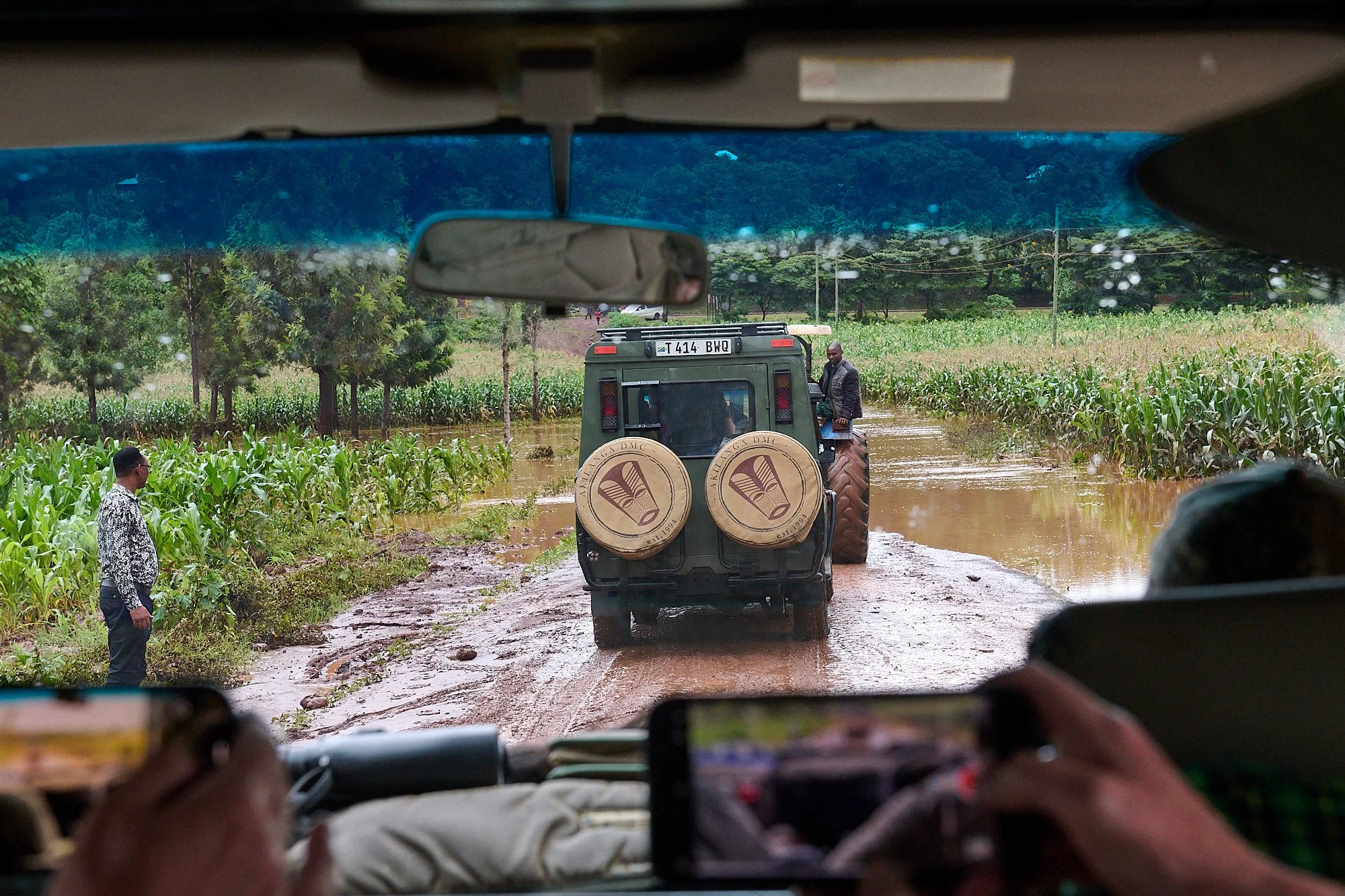
Awaiting our turn to be towed by the tractor.
Serengeti National Park
One striking feature of the Serengeti is the flat, treeless plains that cover the southern third of the national park. During the Pleistocene age about 3 million years ago volcanic ash blown from the Ngorongoro highlands covered what are now the plains and as a result formed a calcareous hardpan less than a meter below the soil surface. This hardpan is impenetrable to roots and the shallow soil dries out quickly, making it impossible for trees to grow.
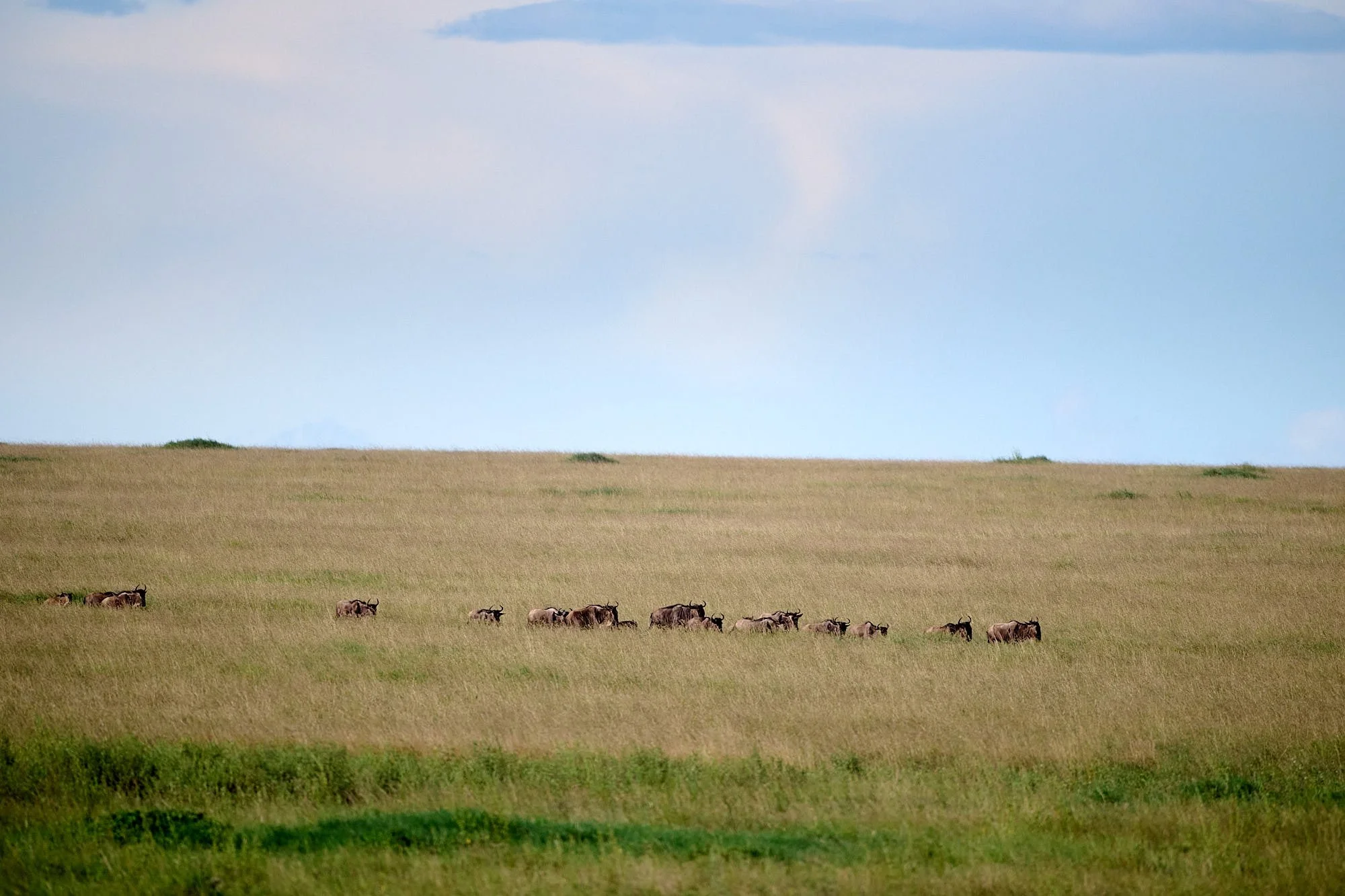
Wildebeest on the move.
The migrating herds move to the southern grasslands during the wet season. The shallow hardpan just under the surface of the plains retains rainwater, allowing grasses to thrive. The incredible numbers of grazing animals in Serengeti National Park means that during the rainy season most of the grasses are eaten multiple times. If the grass is cut short by grazing animals, it will rapidly re-grow and the new forage will contain higher levels of nutrients and water. Consequently, the herbivores favorably modify the plains - the intense grazing pressure of two million ungulates converts the grasslands to a highly nutritious, highly productive state that supports the animals during the calving season.
As the dry season approaches, the seasonal waterholes dry up and the grass turns to yellow, then golden color. This is the time for the wildebeest to begin the annual northward trek to wetter areas of the park. Grant’s gazelle, warthog and ostrich remain behind to feed on the dried grasses on the plains. Only species that can do without water for lengthy periods can live on the plains during the dry season.
Adapted from: https://www.serengeti.com
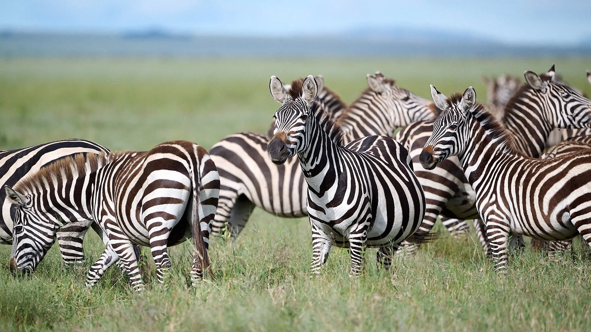
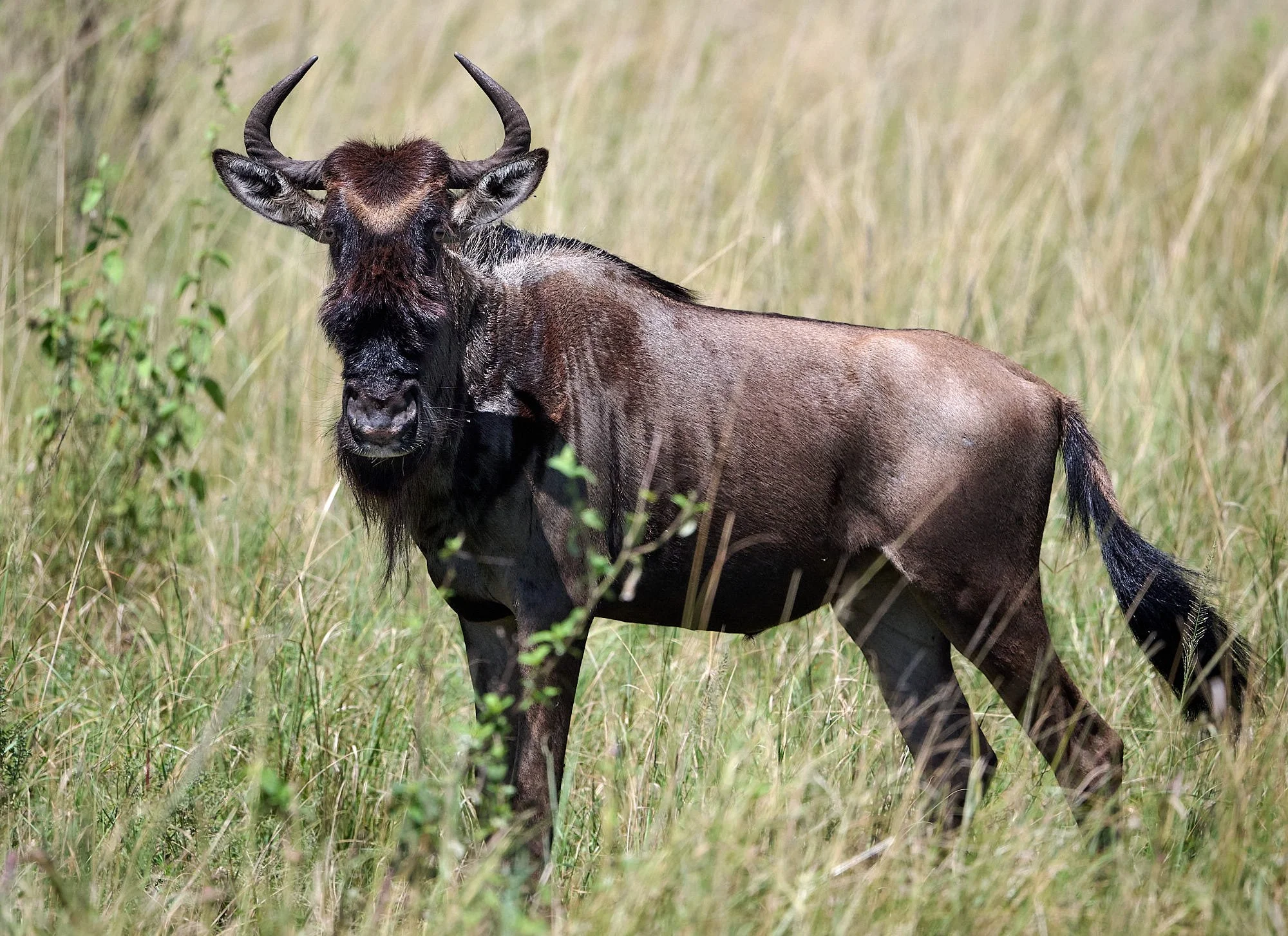
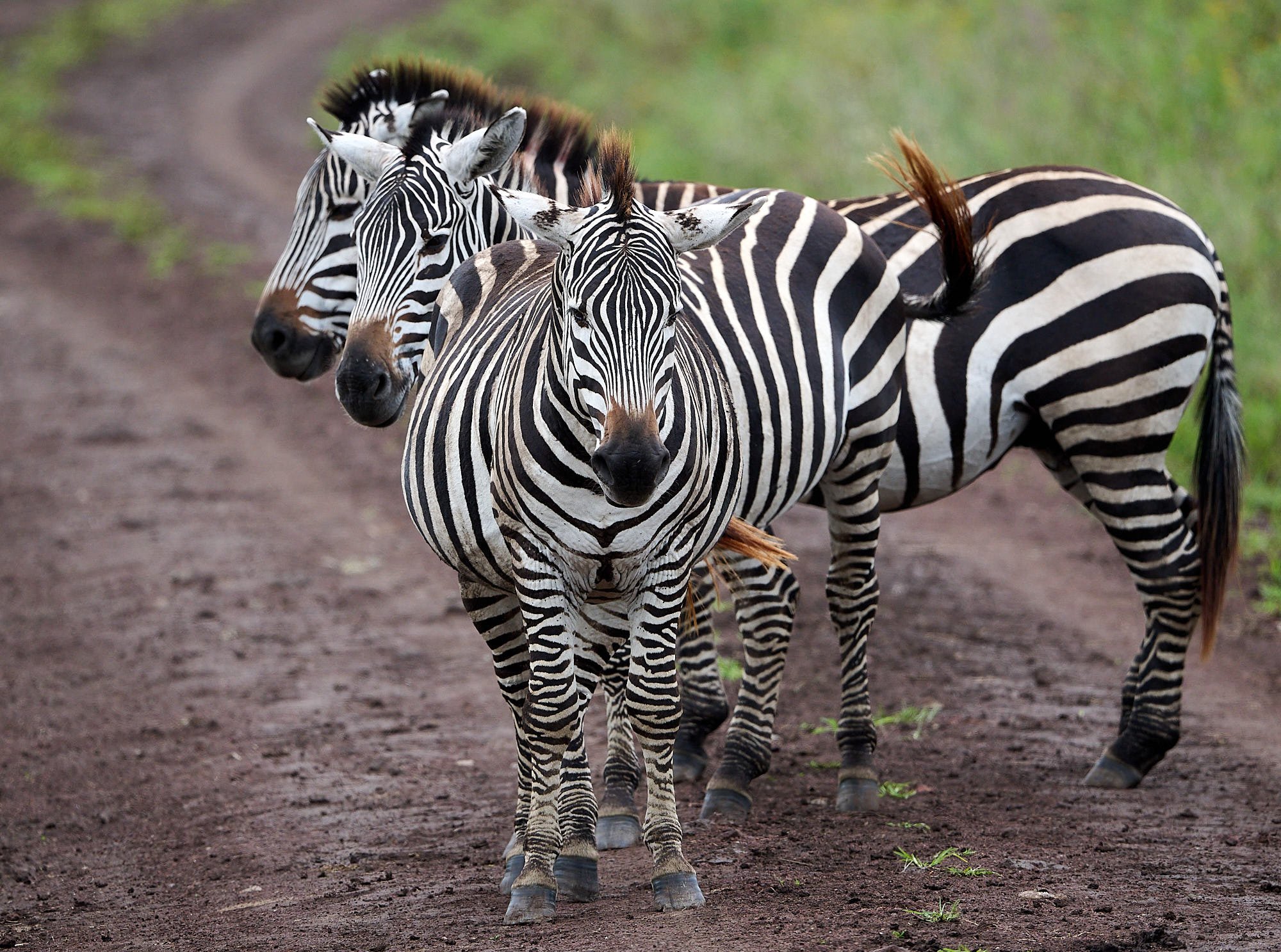
Top row; Left: Plains Zebra, Right: Common Wildebeest
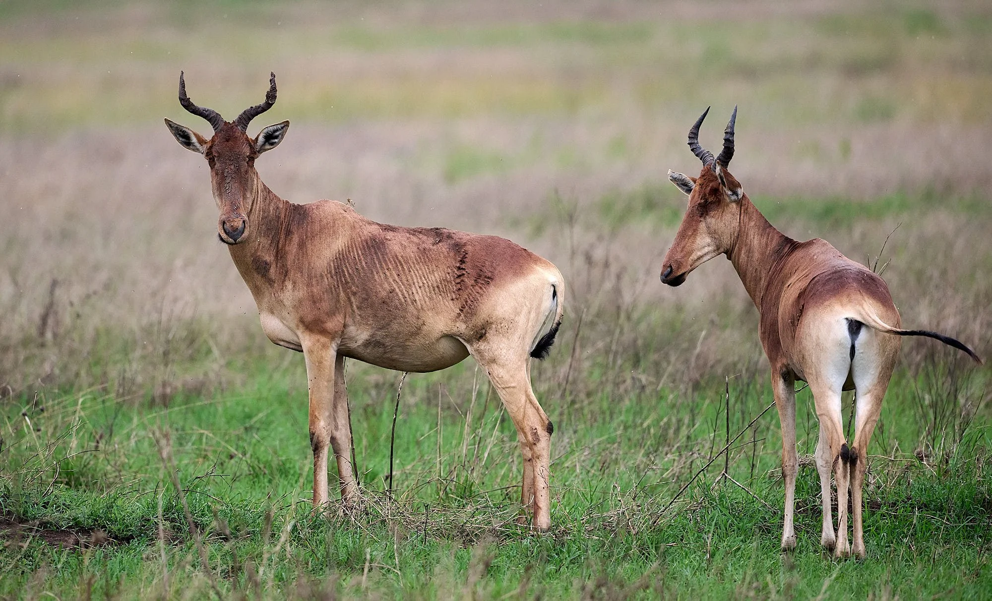
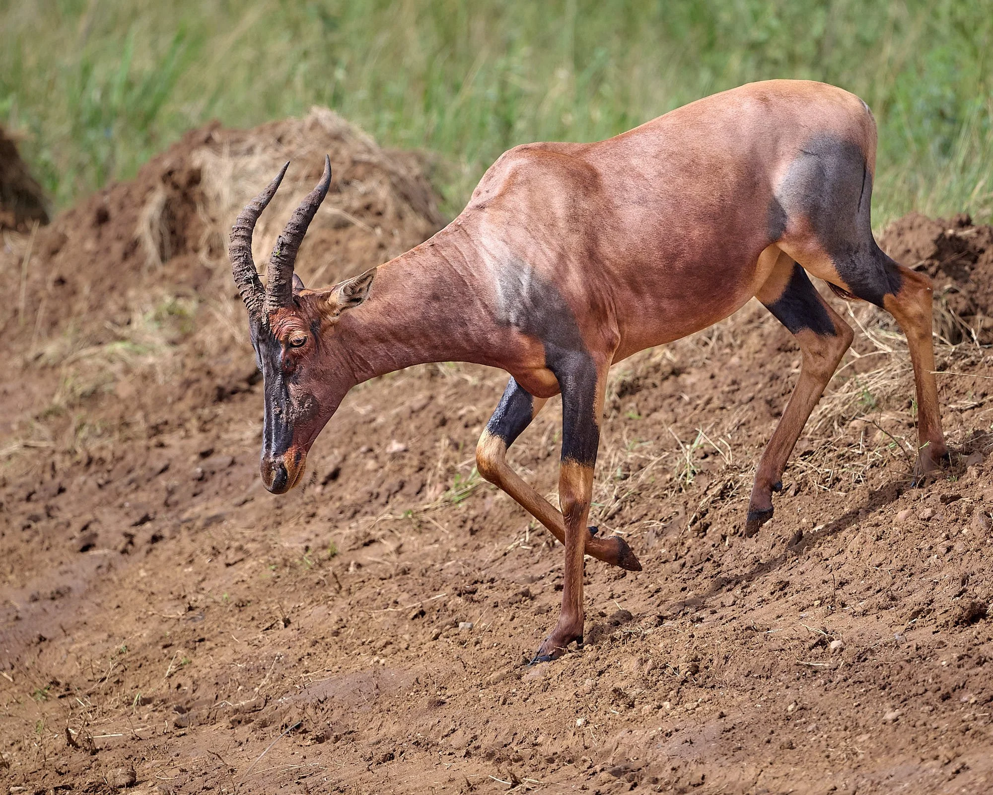
Bottom row; Left: Hartebeest, Right: Tsessebe
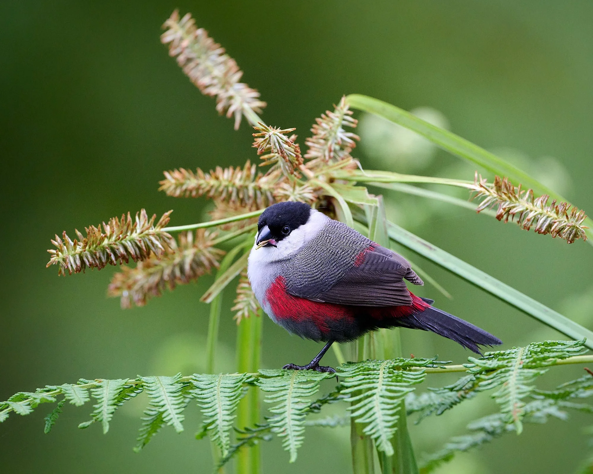
Serengeti life
Northern Fiscal
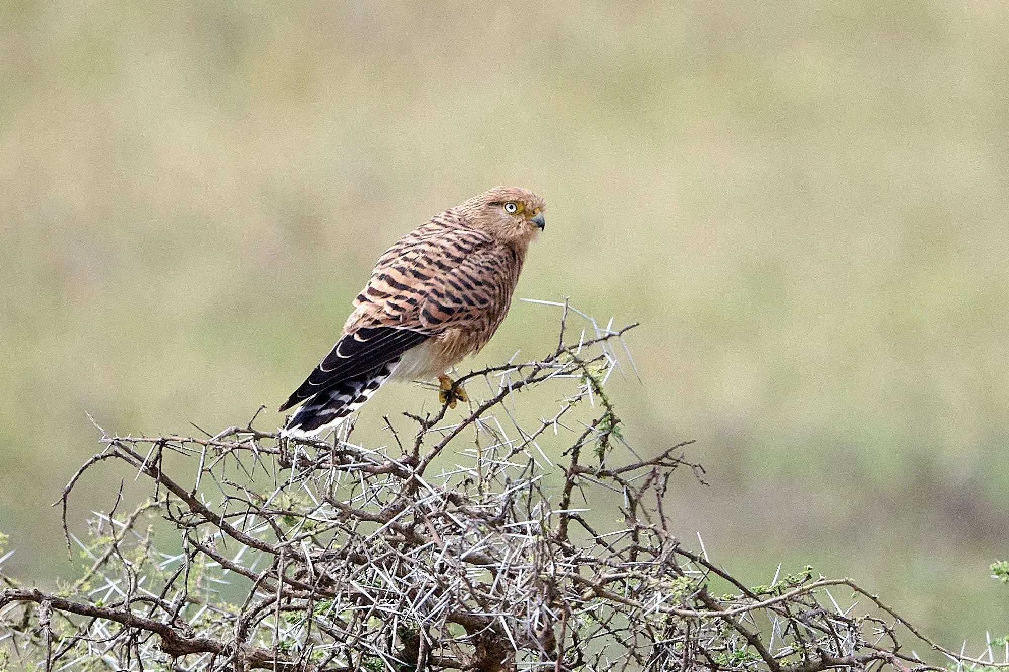
Greater Kestrel
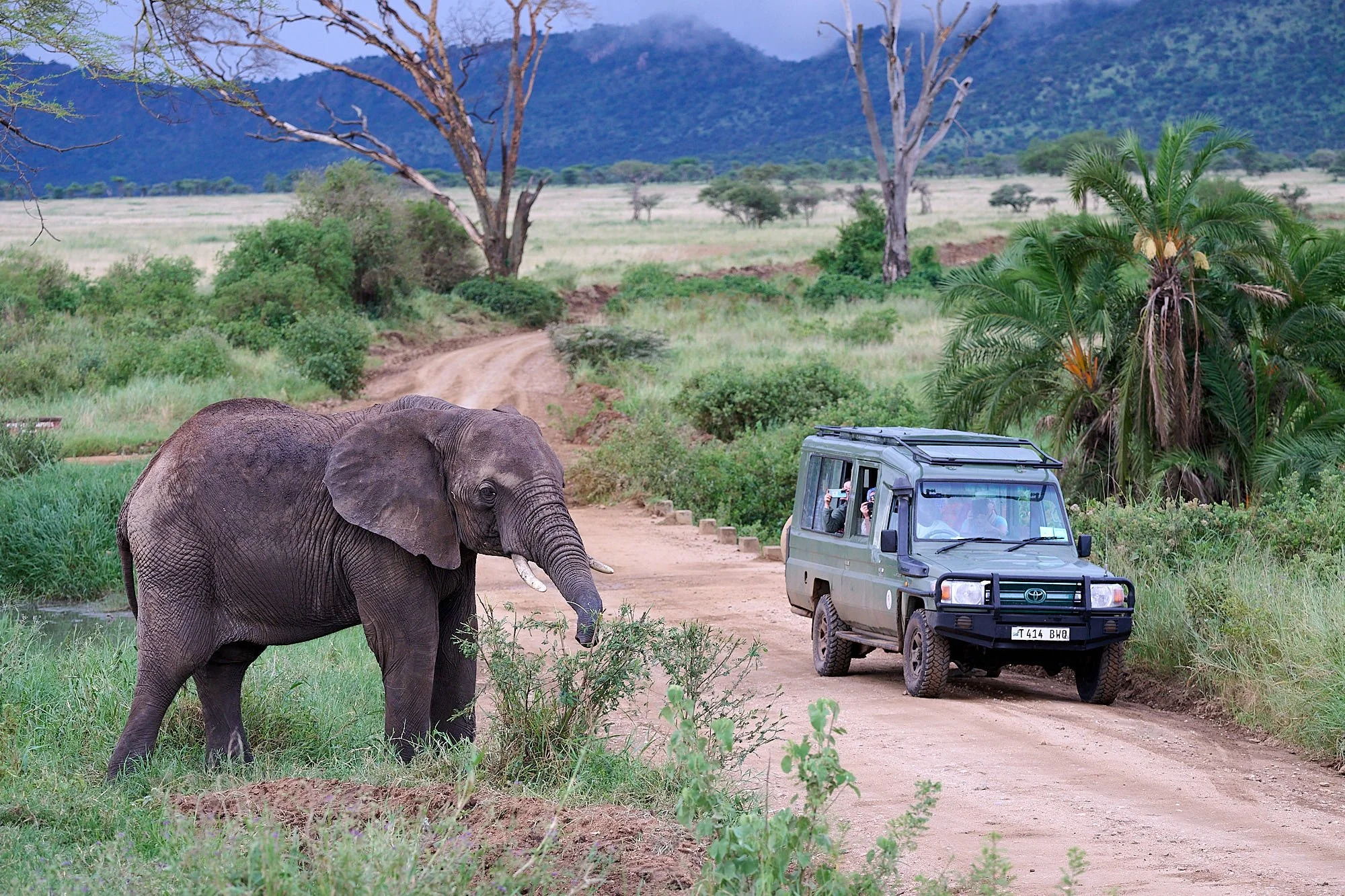
Tourists
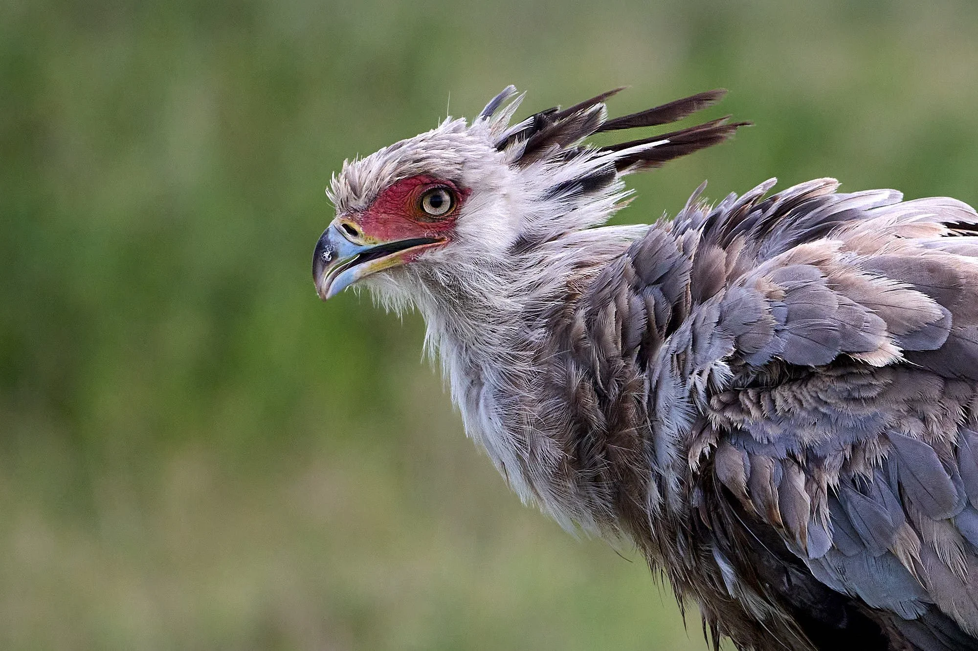
Secretarybird
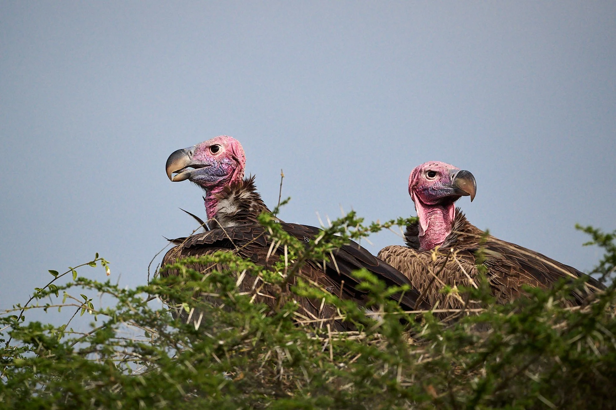
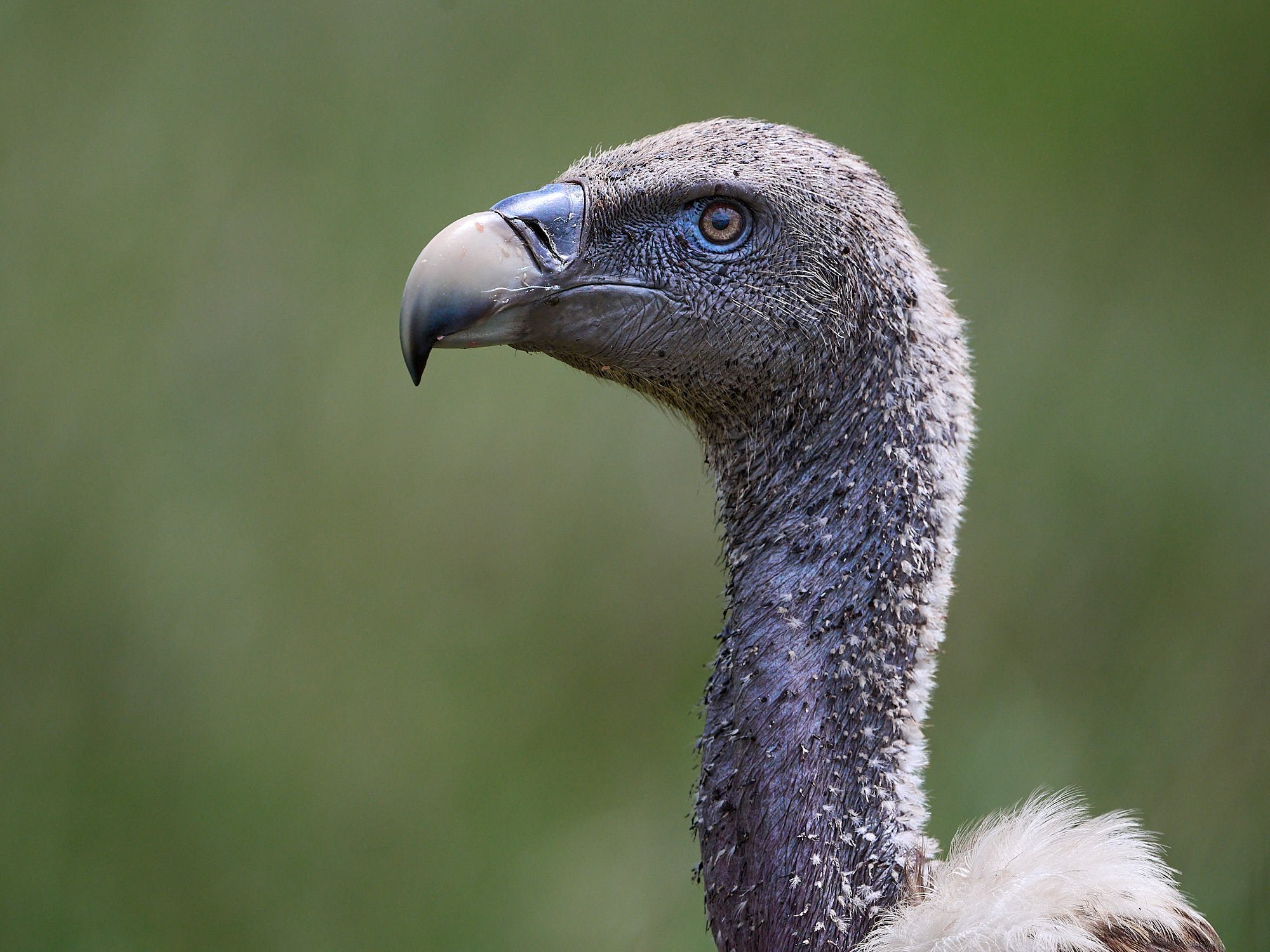
Lappet-faced Vulture
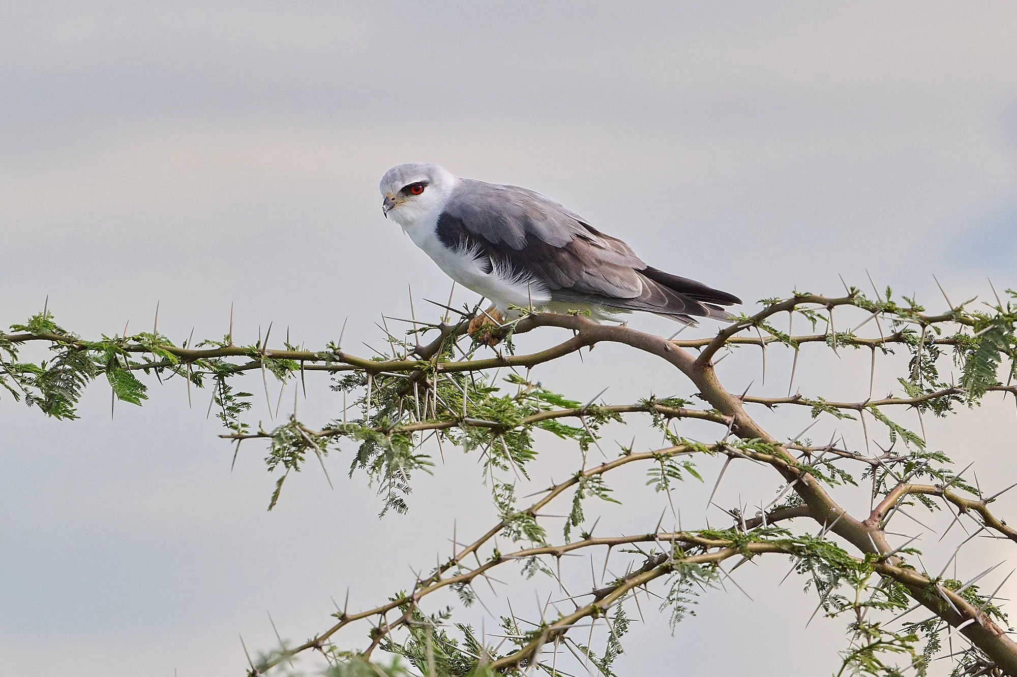
Black-winged Kite
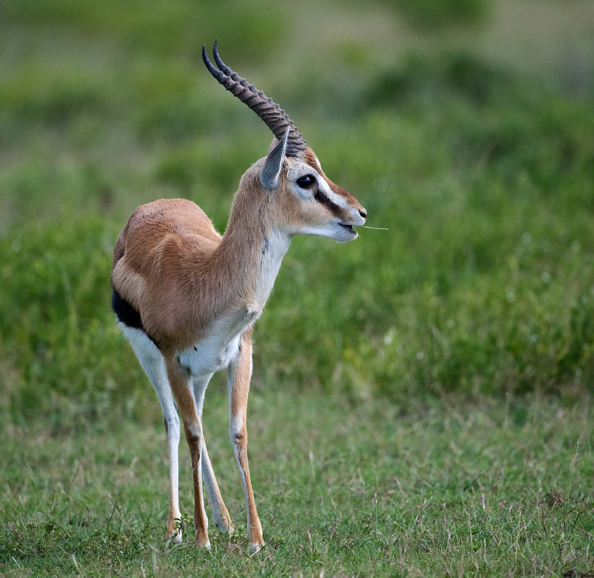
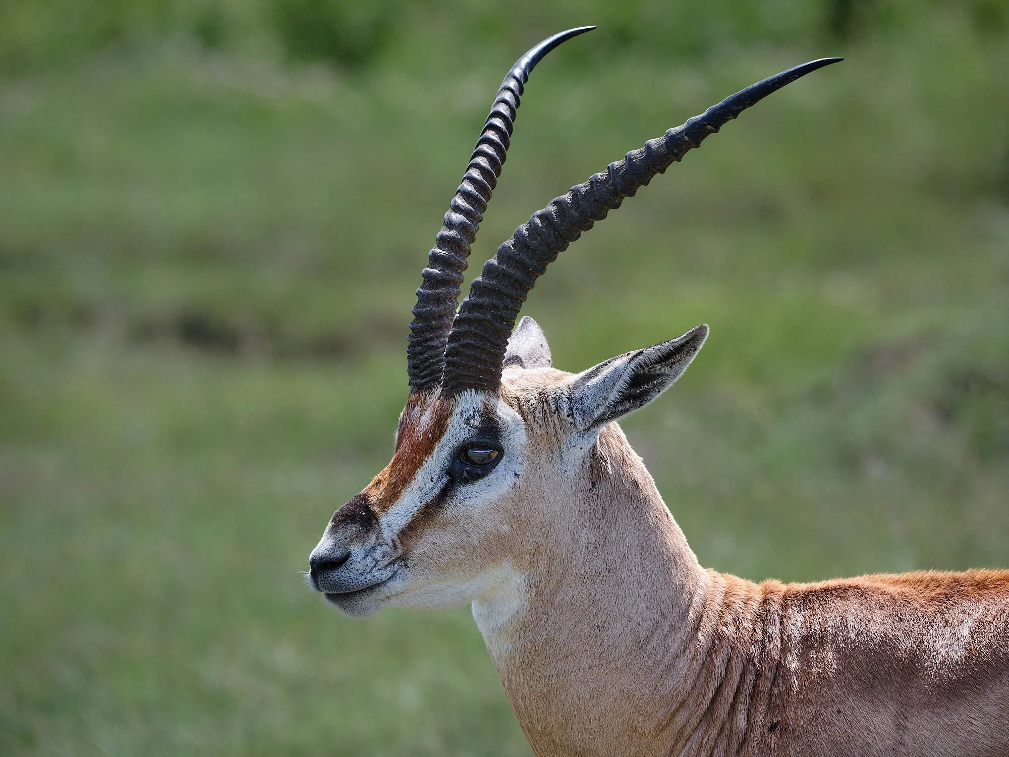
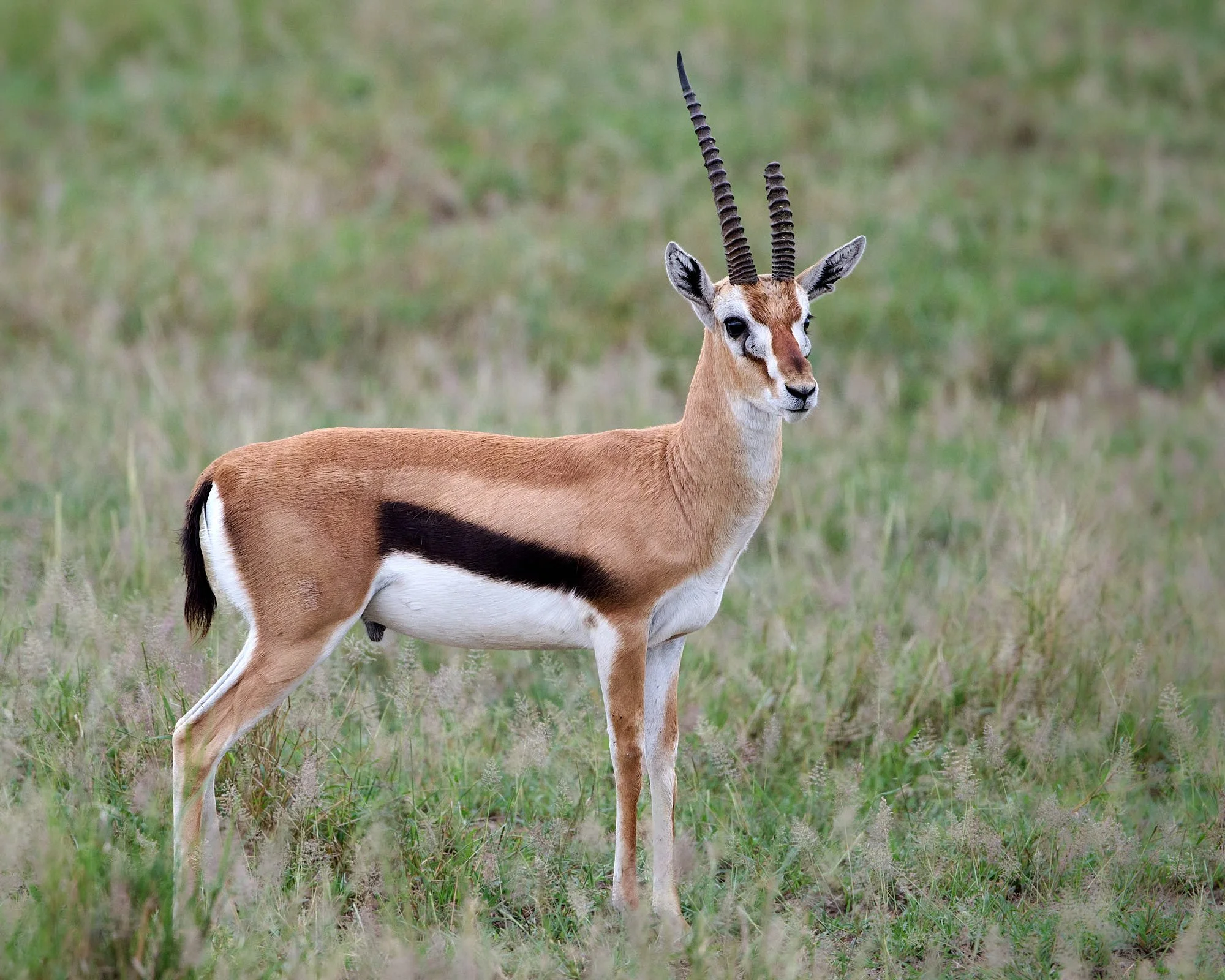
Thomson's Gazelle
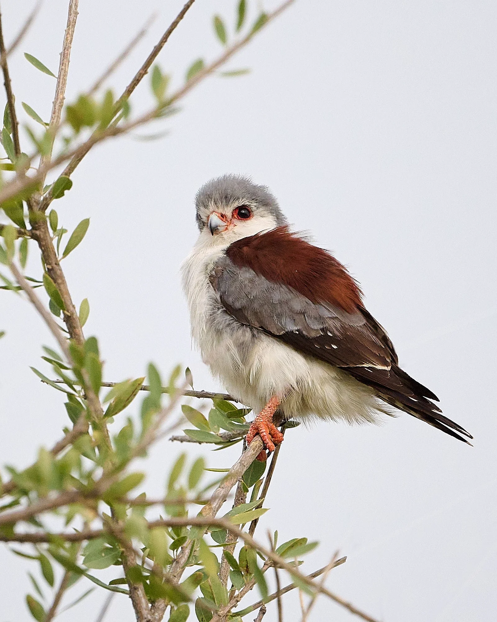
Pygmy Falcon
Dark Chanting-Goshawk
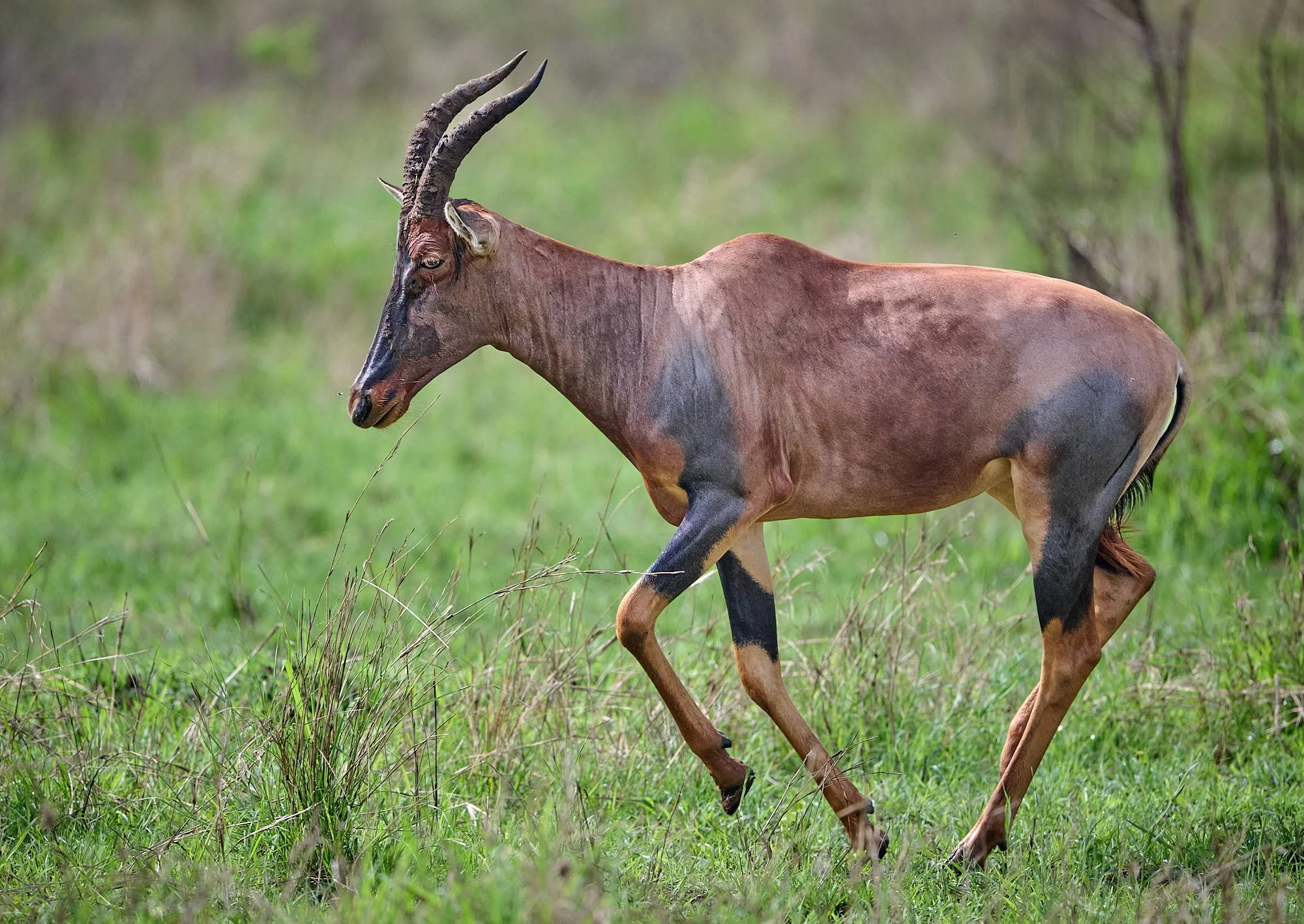
Tsessebe
Southern Ground Hornbill
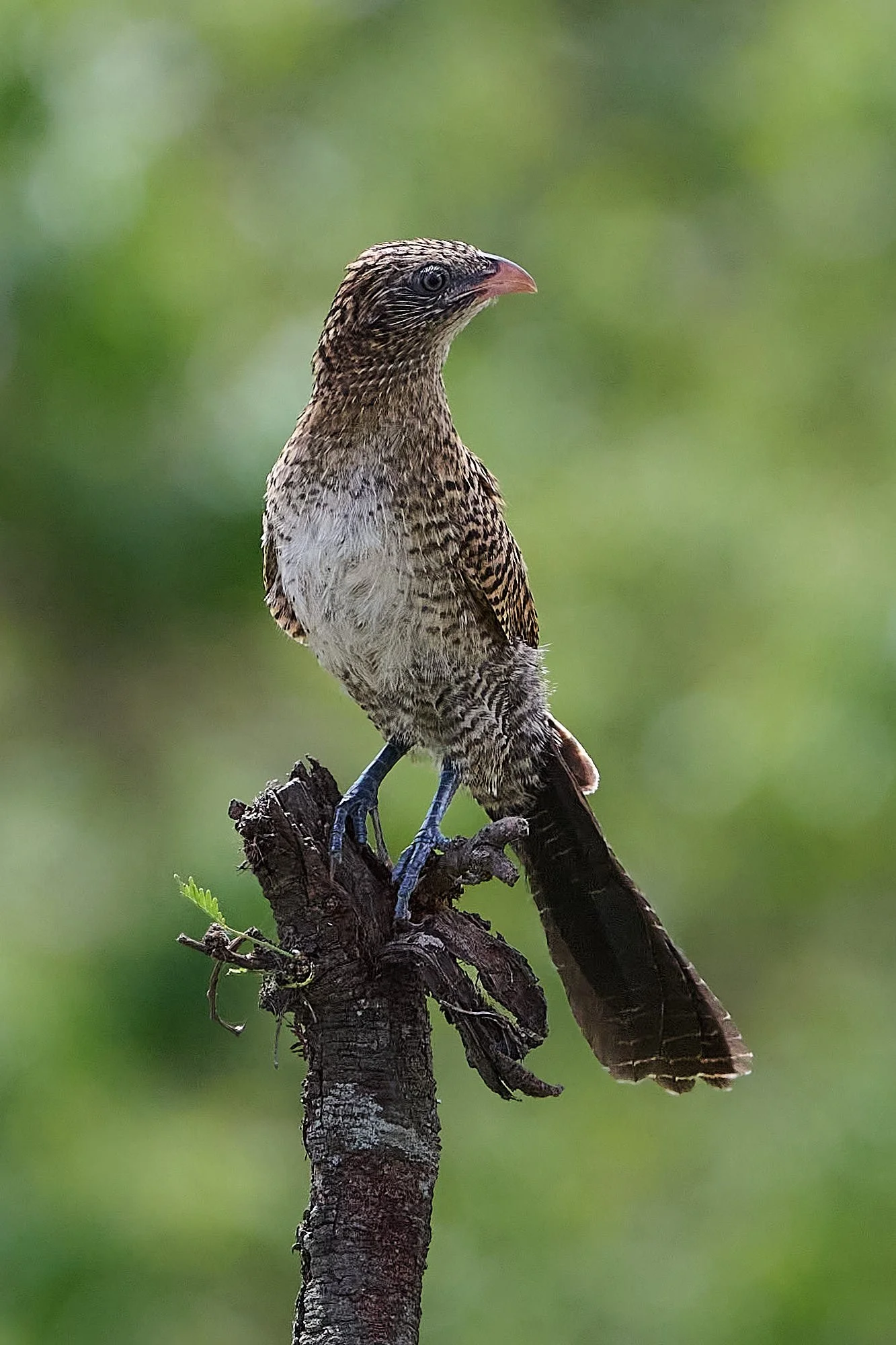
Black Coucal, juvenile
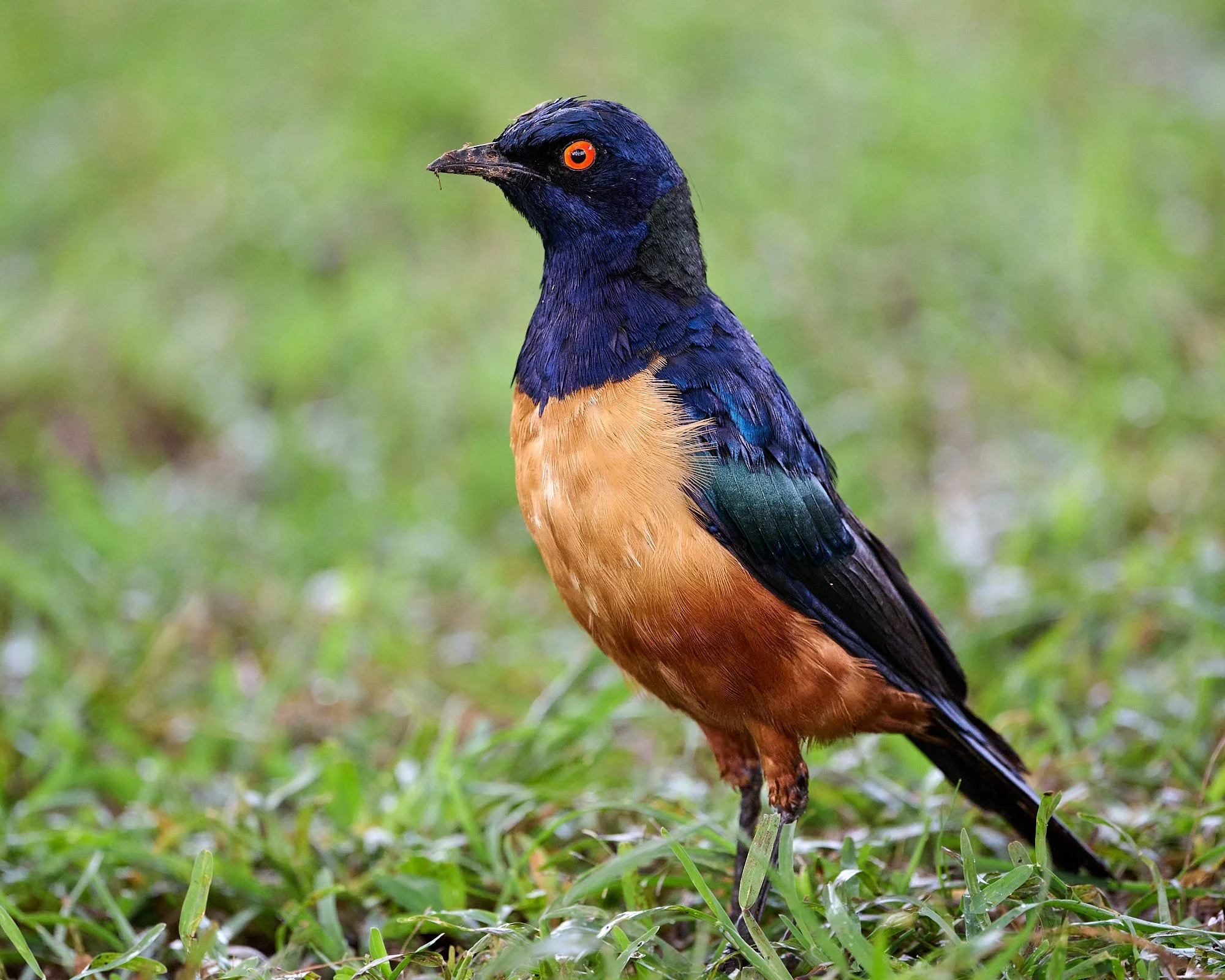
Hildebrandt's Starling
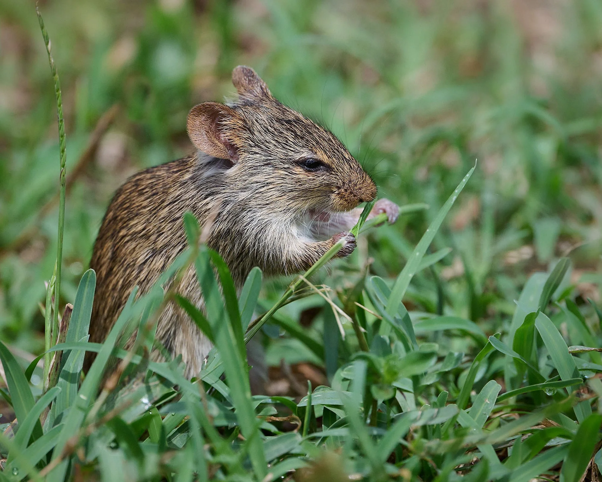
Nile Grass Rat
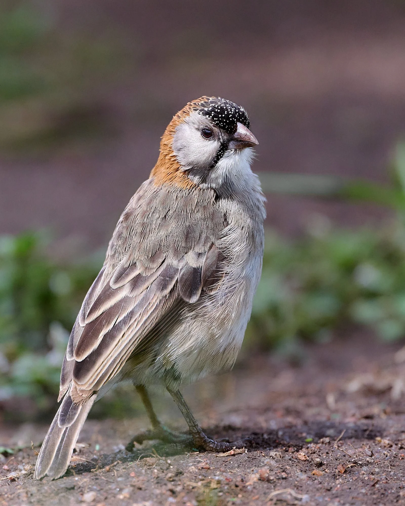
Speckle-fronted Weaver
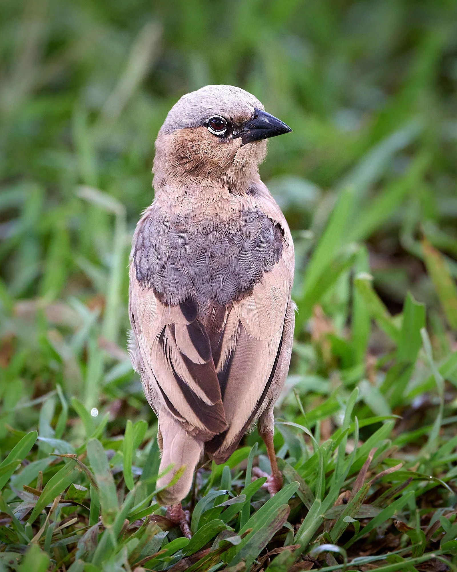
Gray-headed Social-Weaver
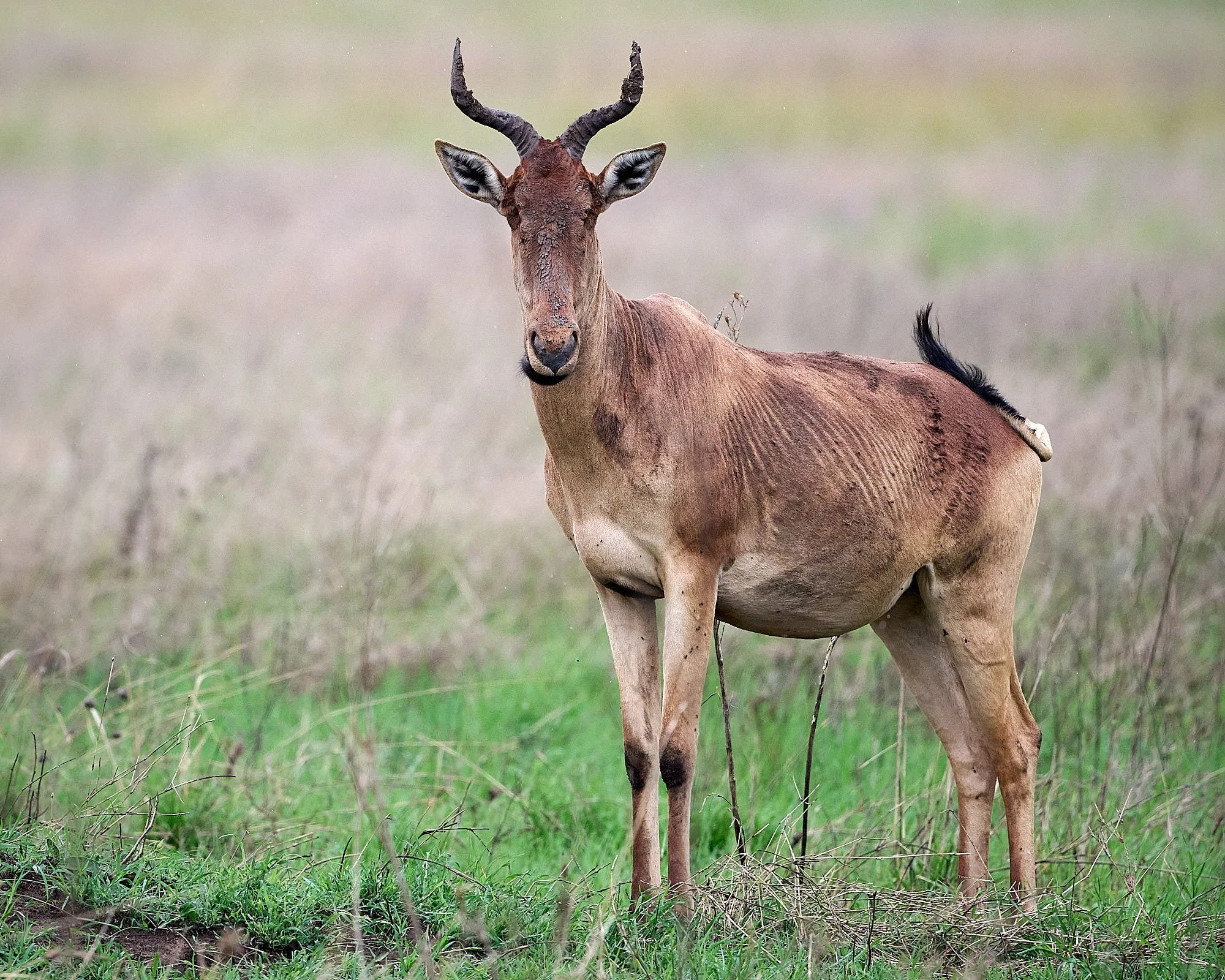
Hartebeest
Rufous-crowned Roller
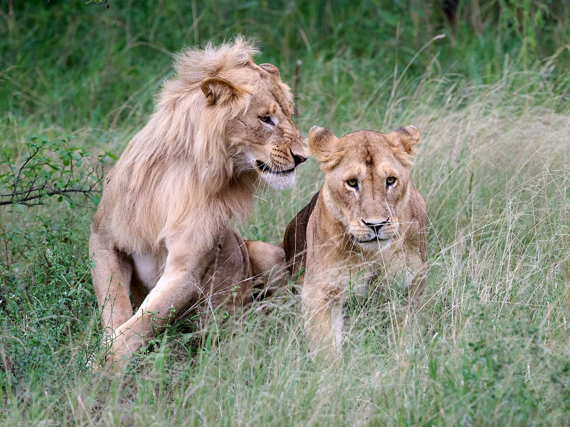
Lions in love
Purple Grenadier, female
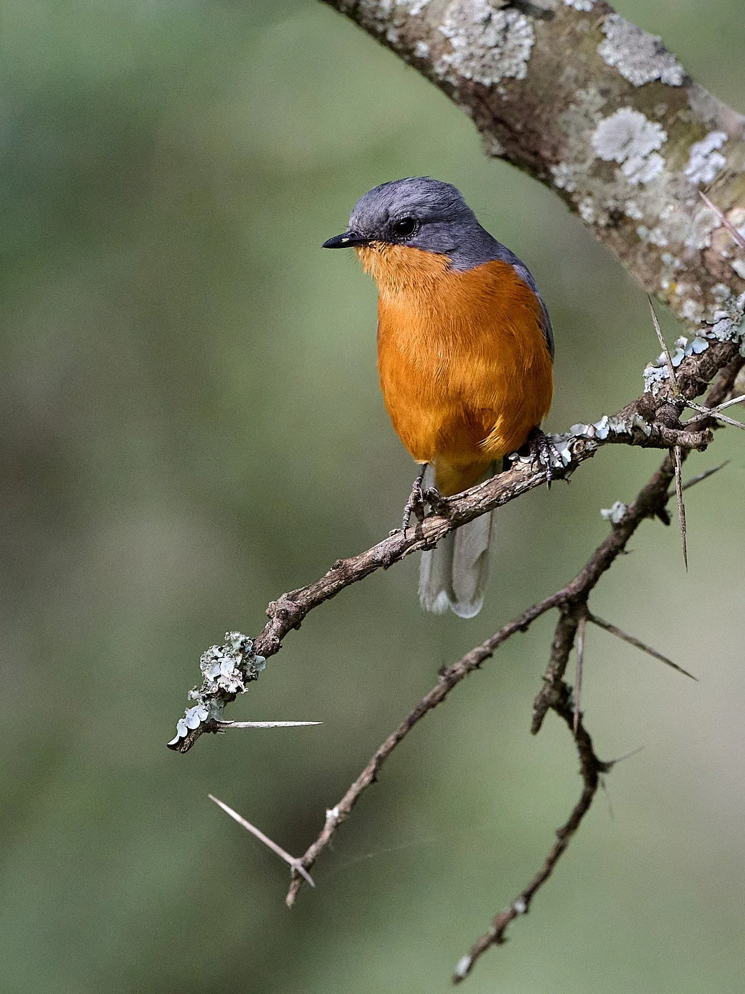
Silverbird
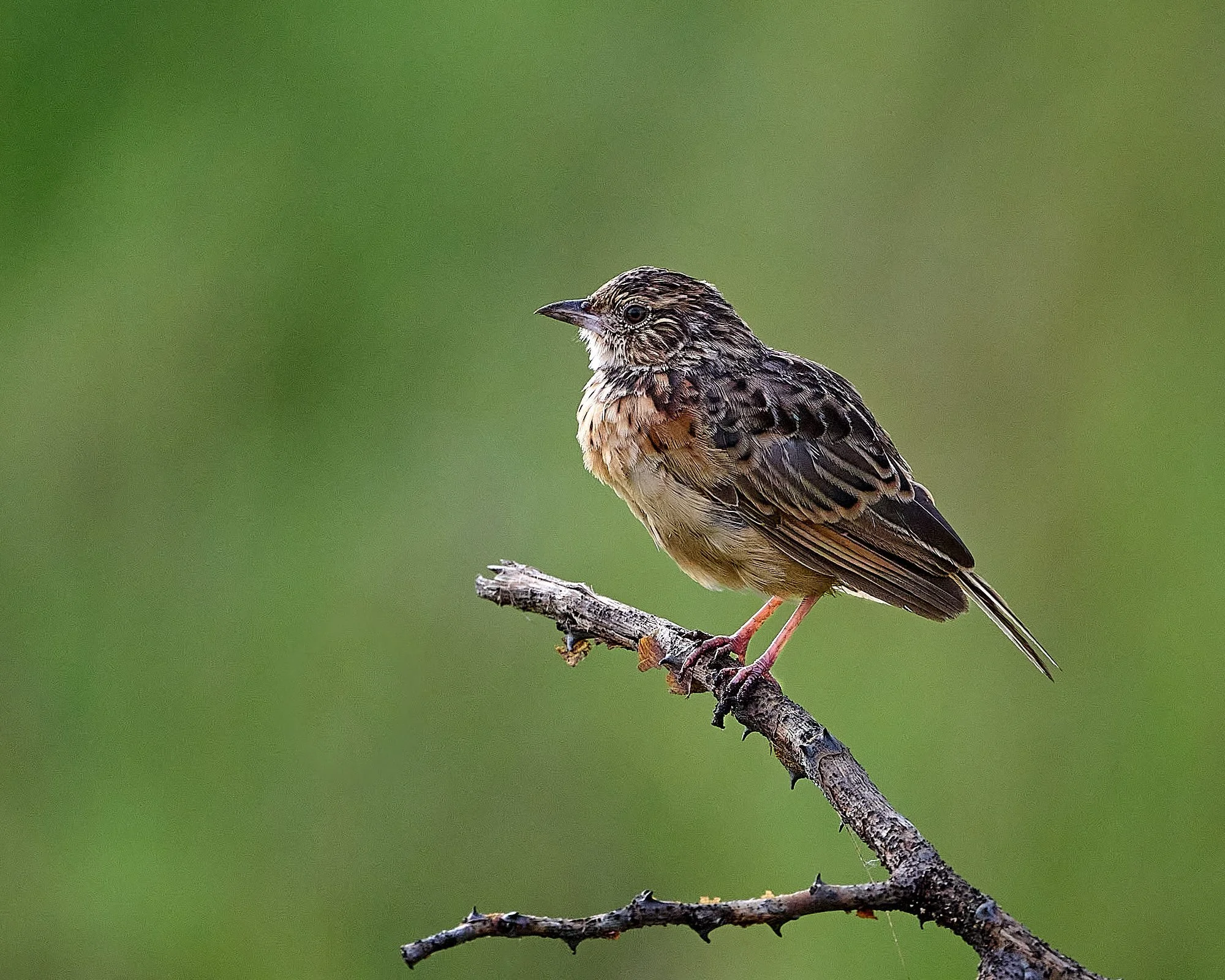
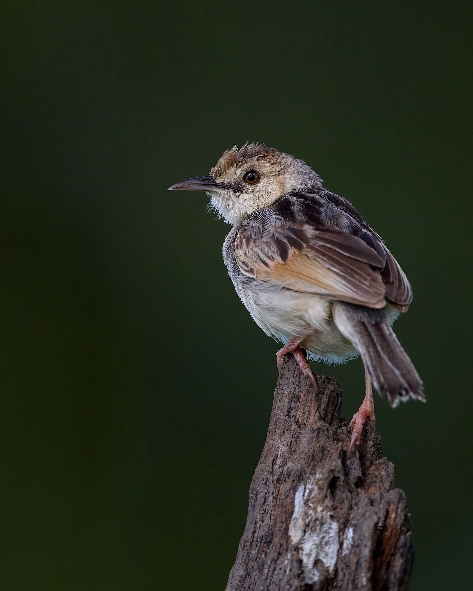
Unidentified lark
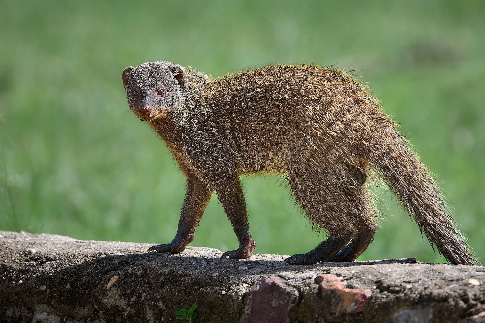
Dwarf Mongoose
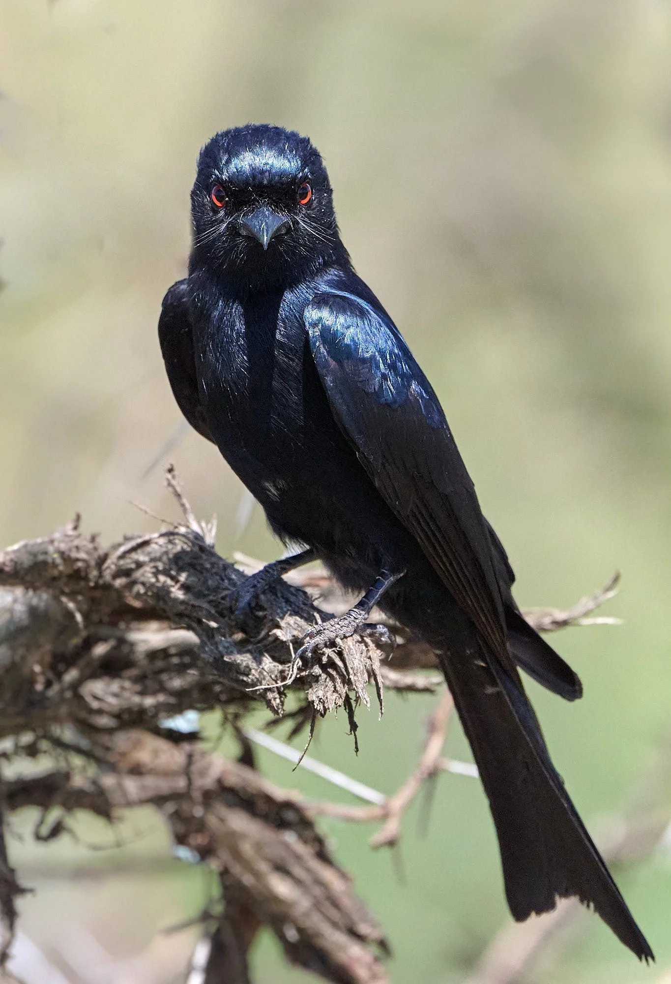
Fork-tailed Drongo
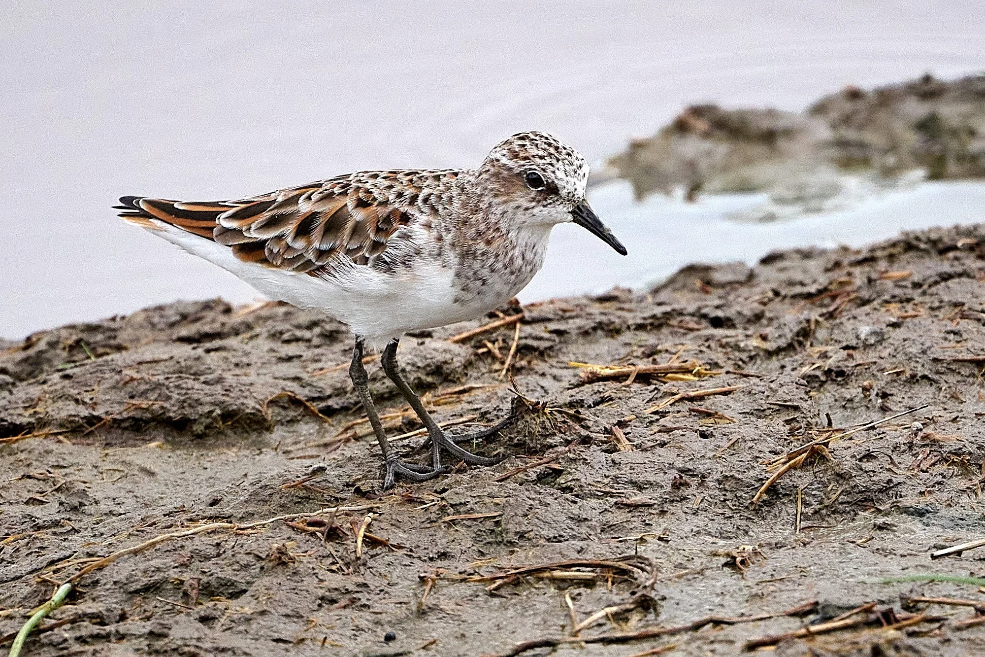
Little Stint
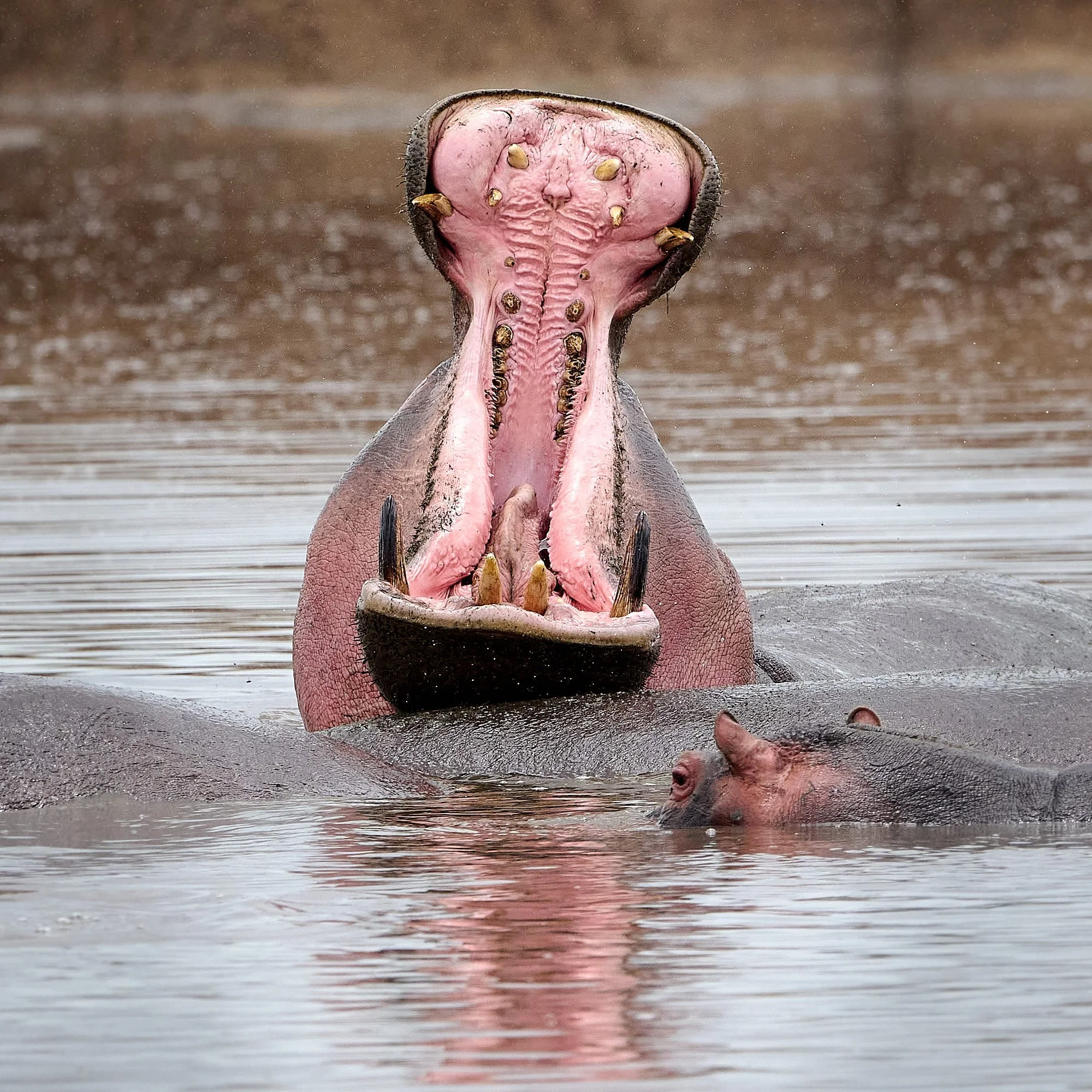
Hippopotamus display
White-backed Vulture
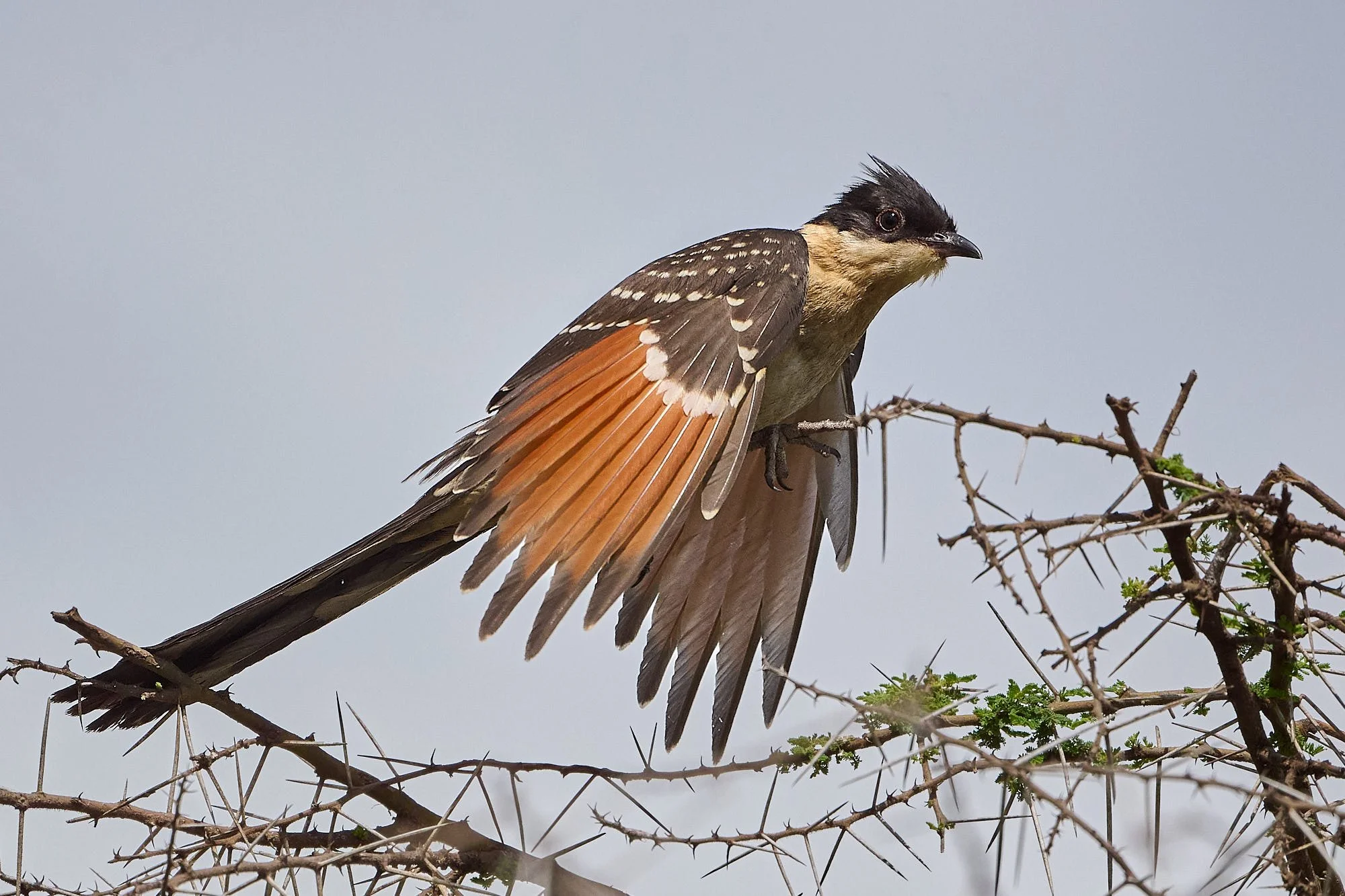
Great Spotted Cuckoo
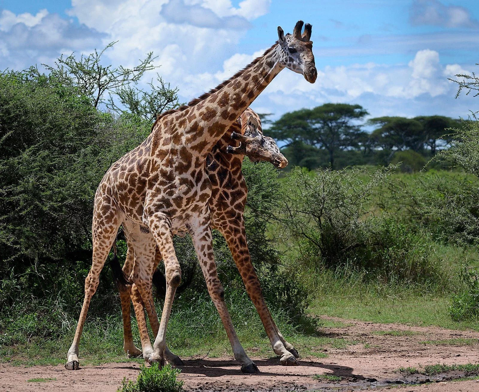
Masai Giraffe, males sparring
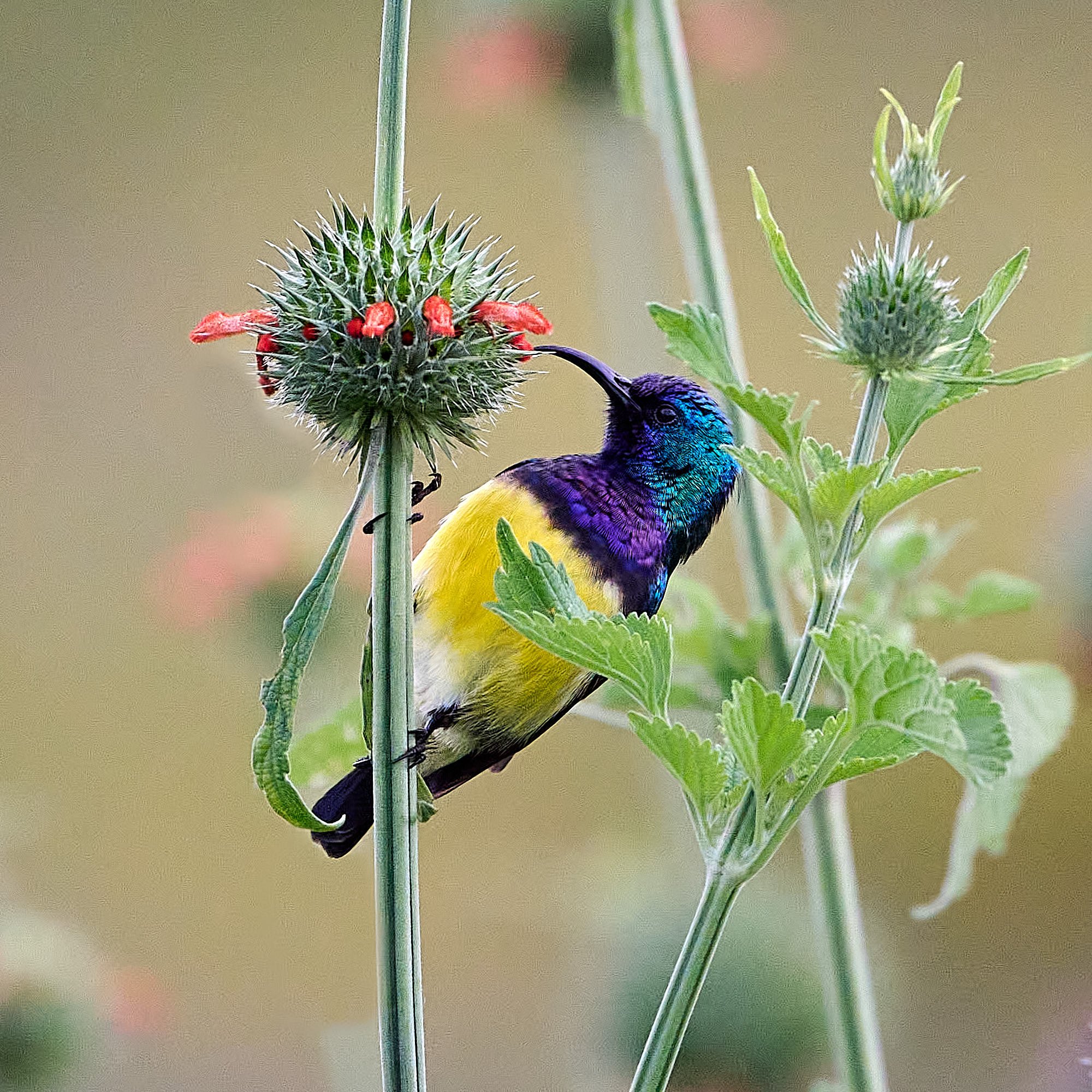
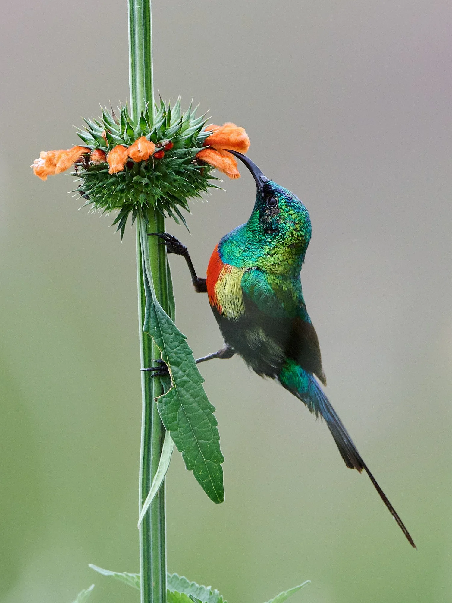
Variable Sunbird
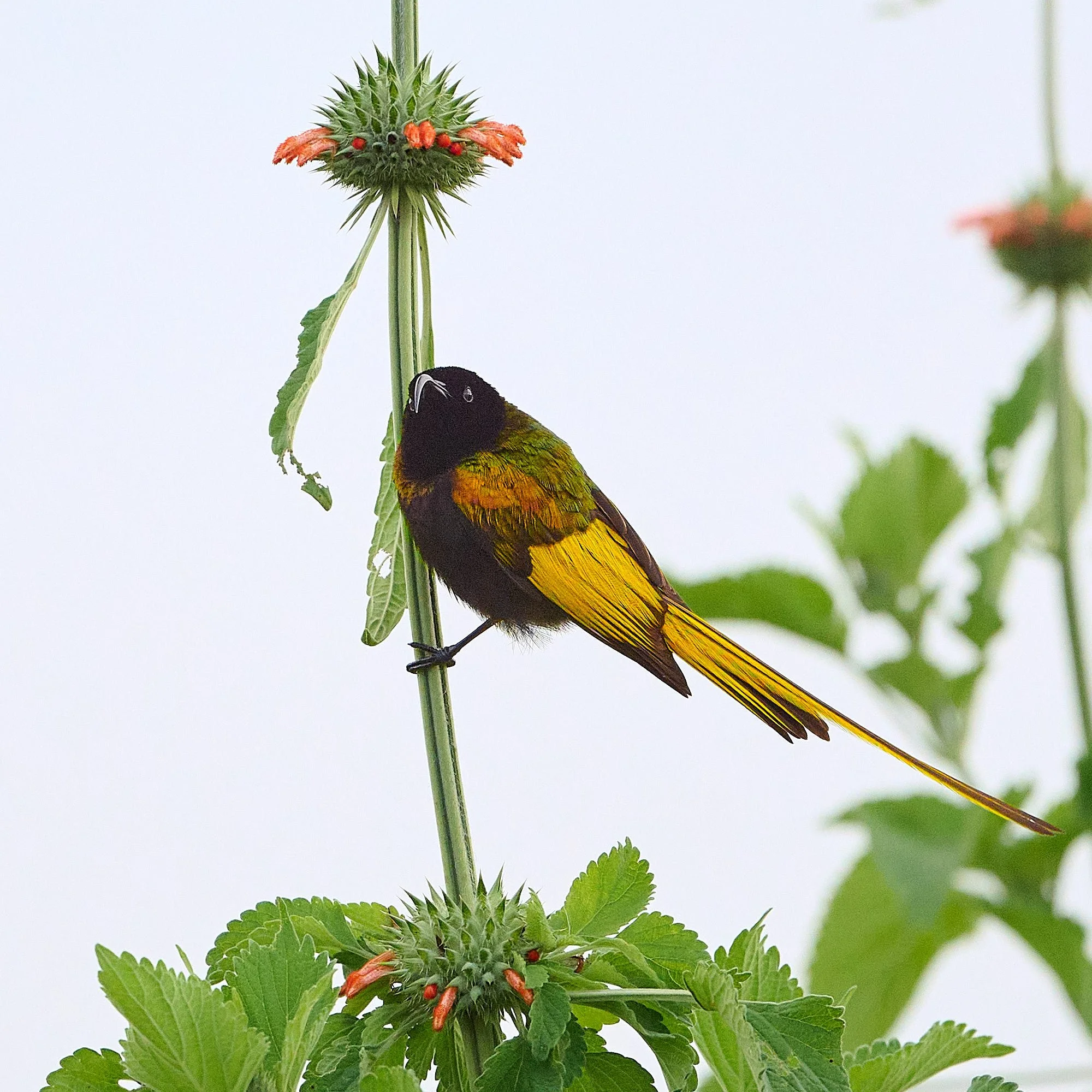
Golden-winged Sunbird
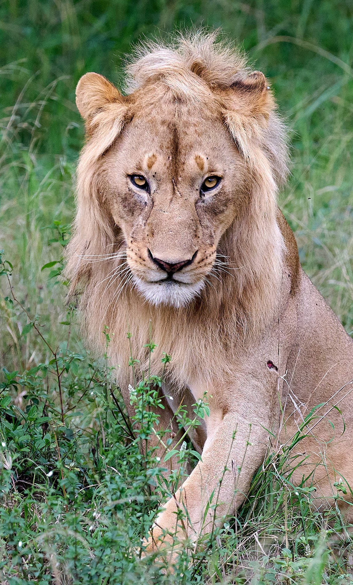
The stare
Oldupai Gorge
The Masai word oldupai means "the place of wild sisal", a plant species that is abundant in the area. Oldupai is a steep-sided ravine in the Great Rift Valley and is located in the eastern Serengeti Plains, within the Ngorogoro Conservation Area. Exposed within the sides of the gorge is a remarkably rich chronicle of human ancestry and the evolution of the Serengeti ecosystem.
Homo habilis, a tool-maker and early early human species, occupied Olduvai Gorge approximately 1.9 million years ago (mya); then came an australopithecine, Paranthropus boisei, 1.8 mya, followed by Homo erectus, 1.2 mya. Homo sapiens, which is estimated to have emerged roughly 300,000 years ago, is thought to have occupied sites in the gorge 17,000 years ago.
Anthropologists Mary and Louis Leakey worked at Oldupai for more than 30 years. It was recognized as a UNESCO World Heritage Site in 1979.
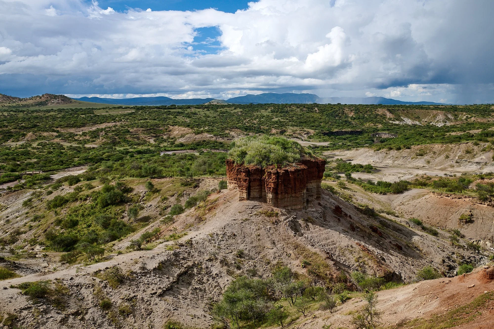
Oldupai gorge, looking west. It is about 34 miles in length and 300 feet deep.
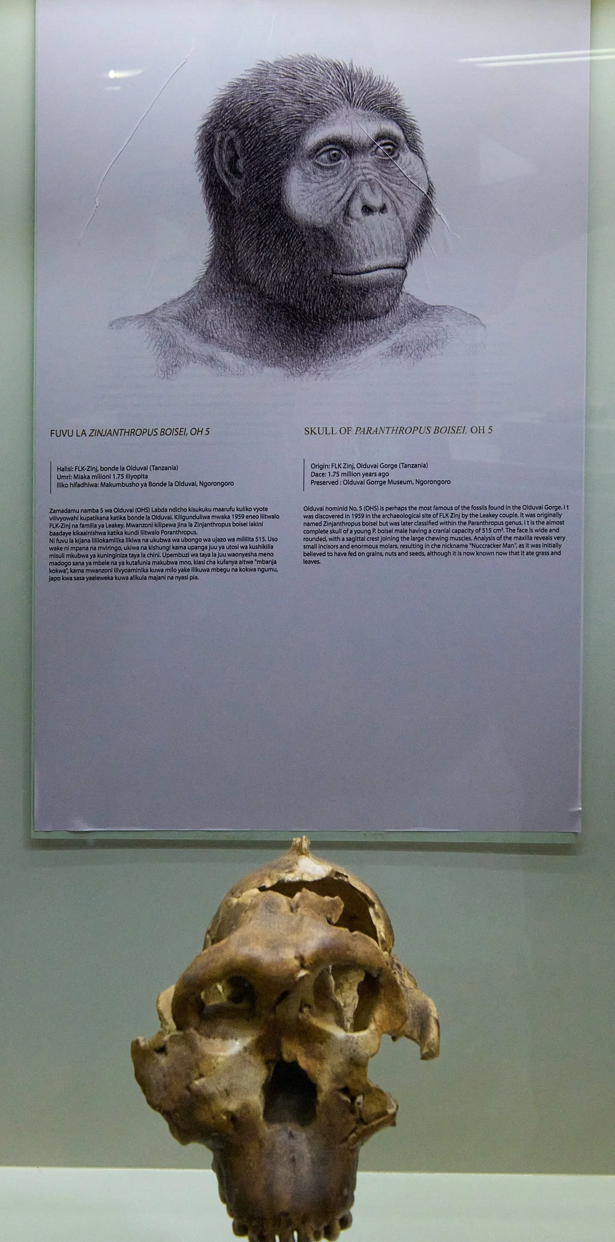
Nutcracker Man. The Oldupai Gorge Museum is situated near the gorge and is well-worth visiting.
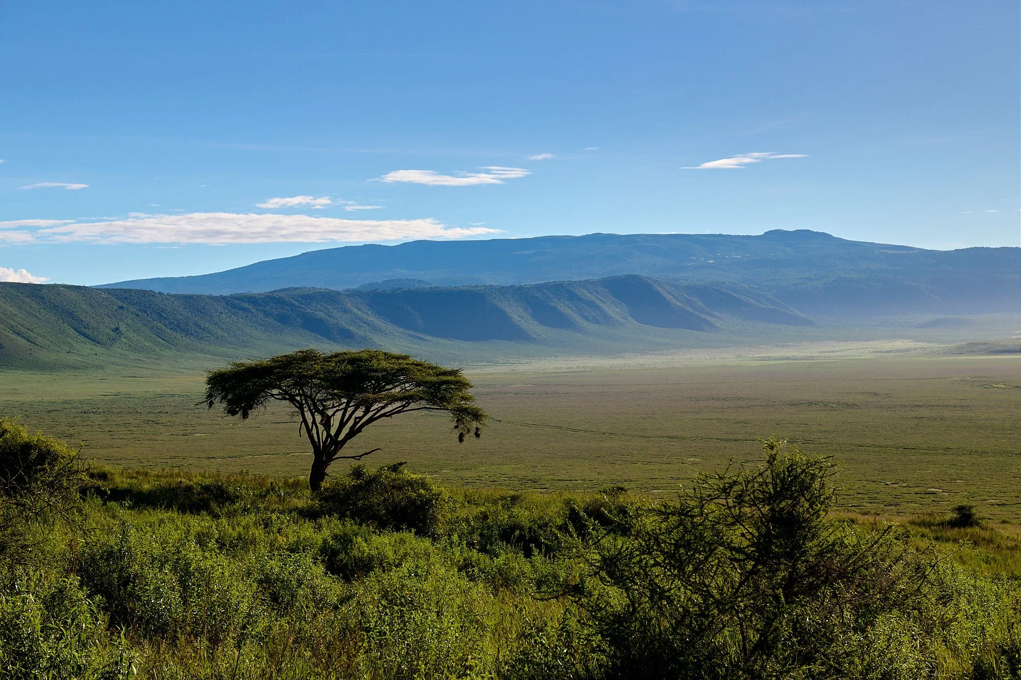
Ngorogoro Crater, Nature’s perfect bowl
The vast Ngorongoro Conservation Area covering 3,200 square miles is a World Heritage Site that protects Earth’s largest intact volcanic caldera. Ngorogoro Crater has forests, lakes, grasslands, swamps and rivers, and is perhaps less impacted by human activities than other East African wildlife regions. Between 25,000 and 30,000 large animals reside in the crater - one of the planet’s densest populations of large mammals. After the heavy rains, the marshes were overflowing, and we found many species of water-associated birds.
Descending into Ngorogor Crater
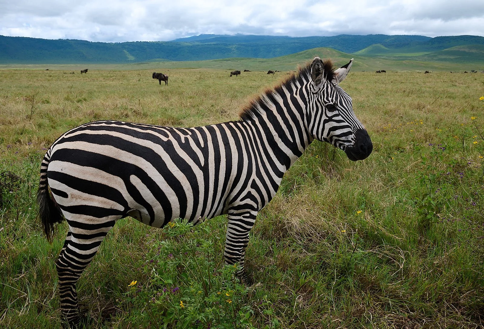
Life in the bowl
Greater Flamingo, juvenile
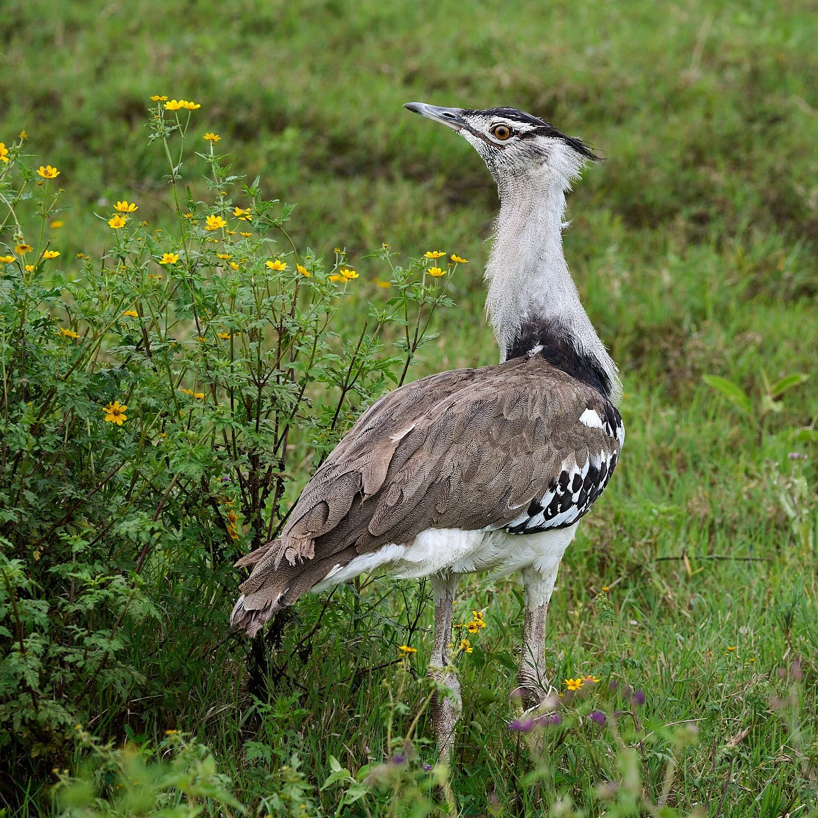
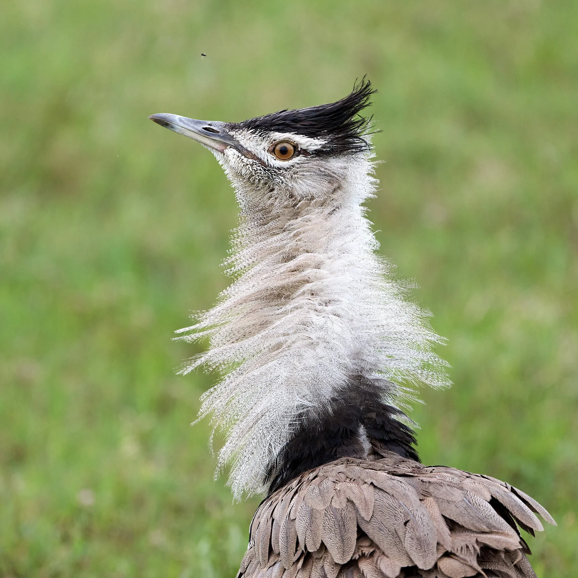
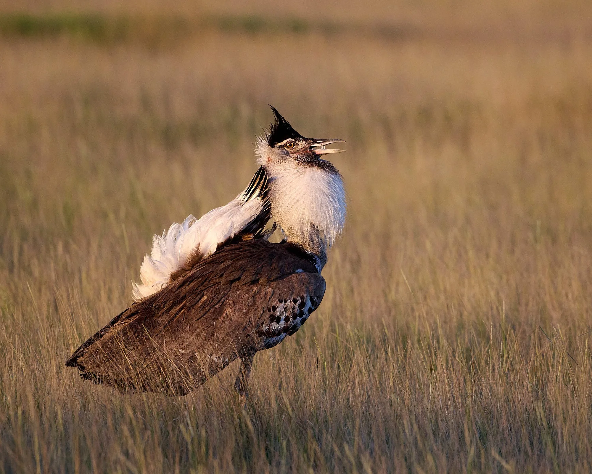
Kori Bustard

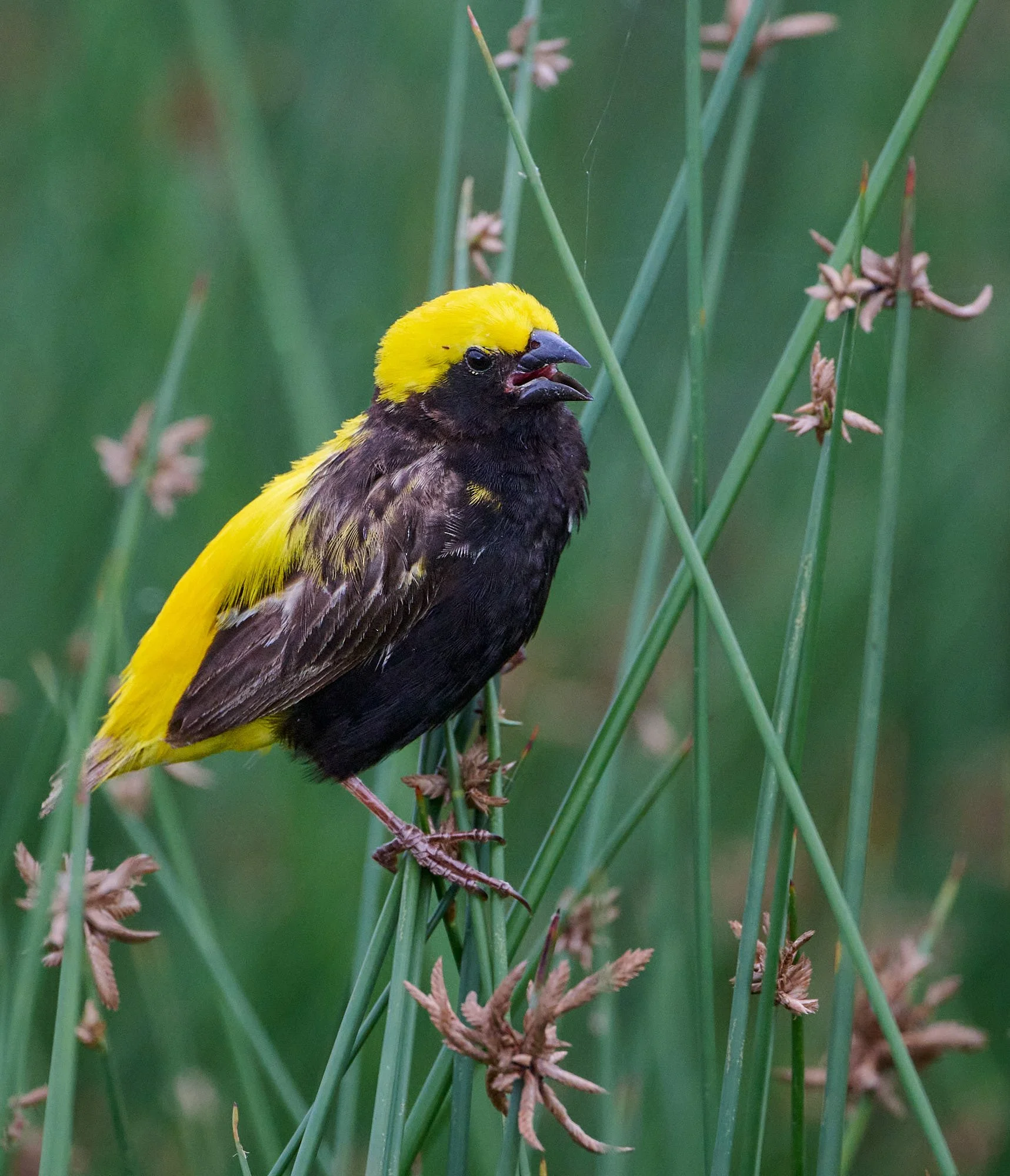
Speke's Weaver
Lake Magadi, Ngorogoro Crater
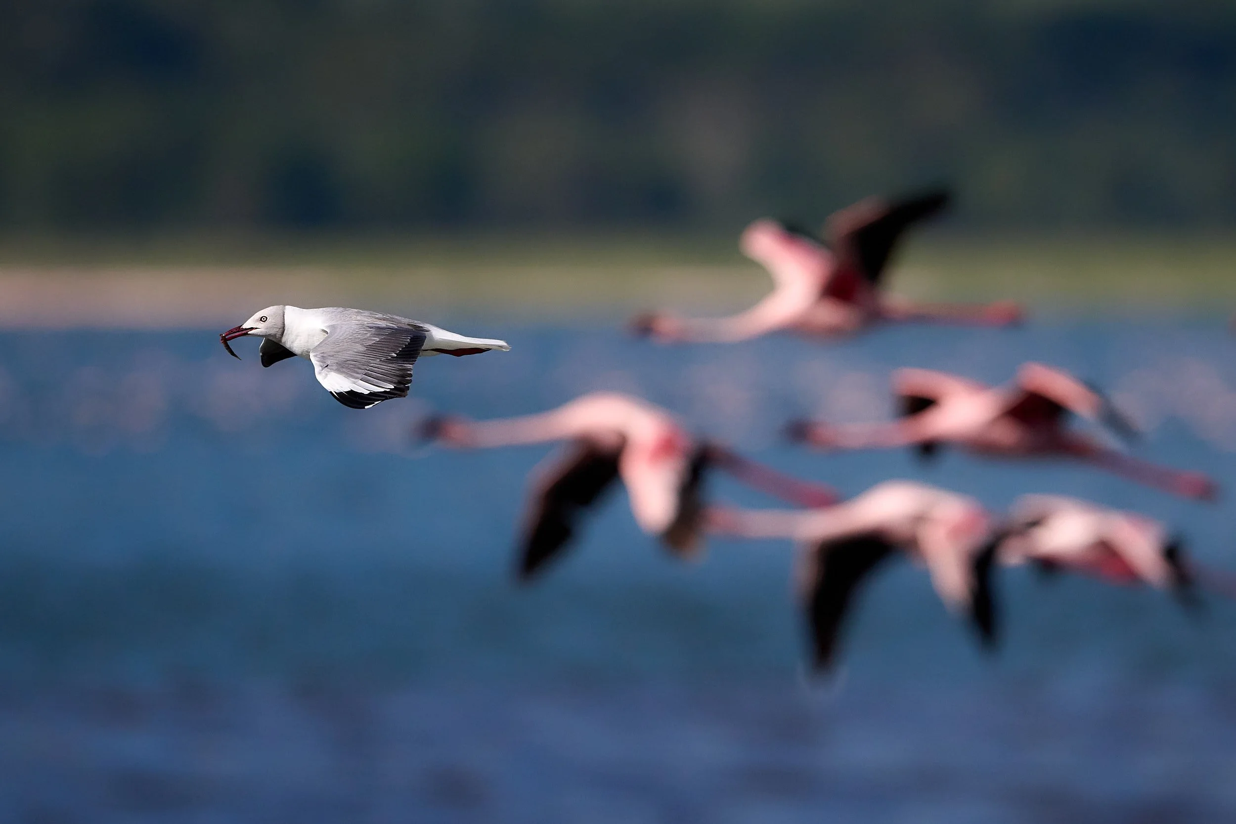
Gray-hooded Gull with fish. Lesser Flamingoes in the background.
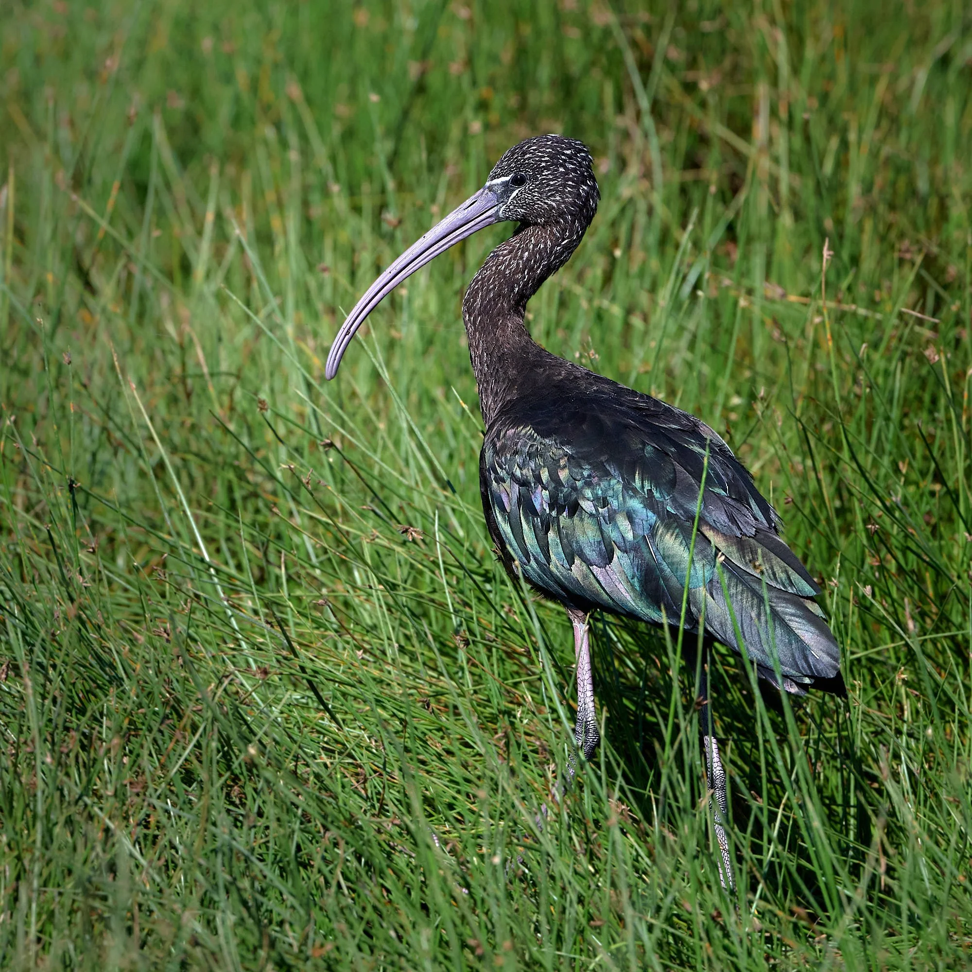
Glossy Ibis, non-breeding plumage
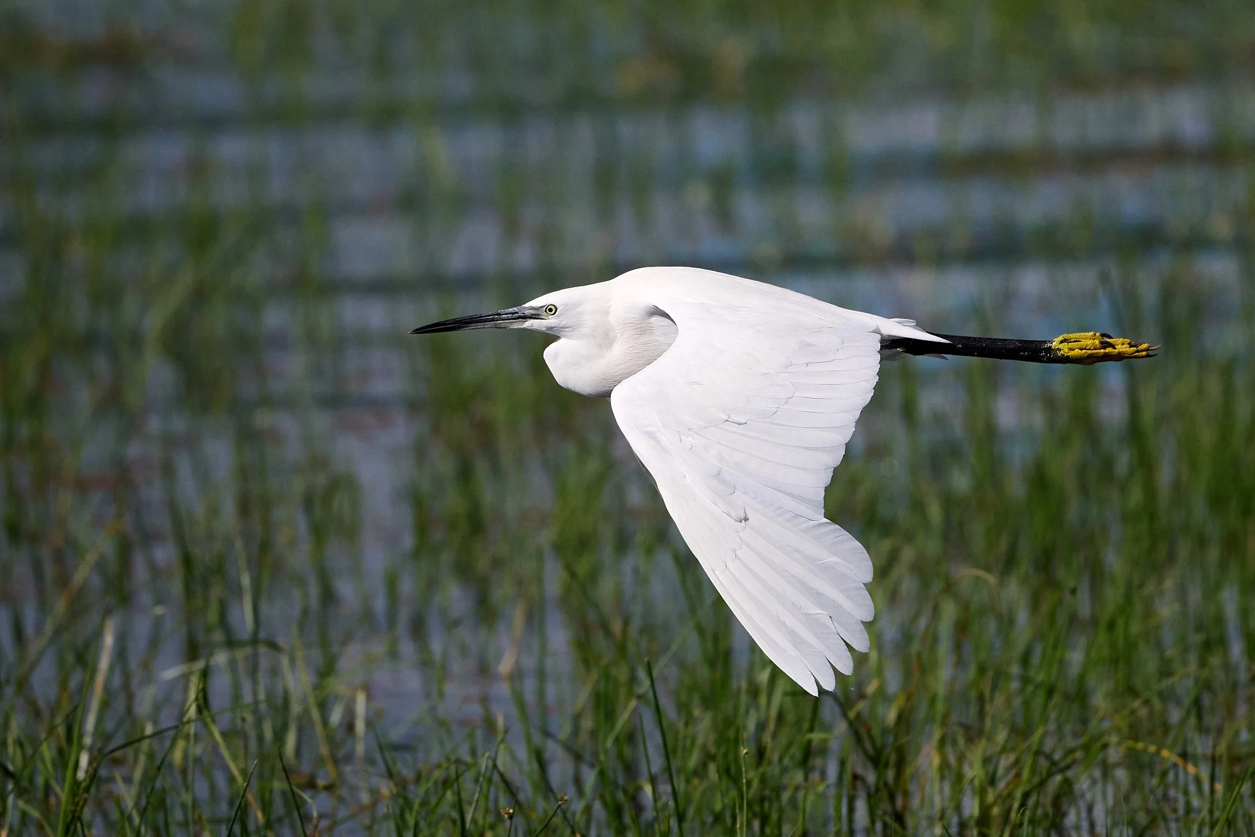
Little Egret
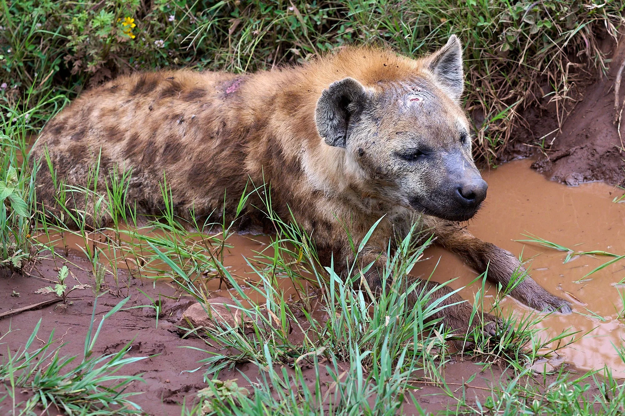
Spotted hyena nursing some wounds
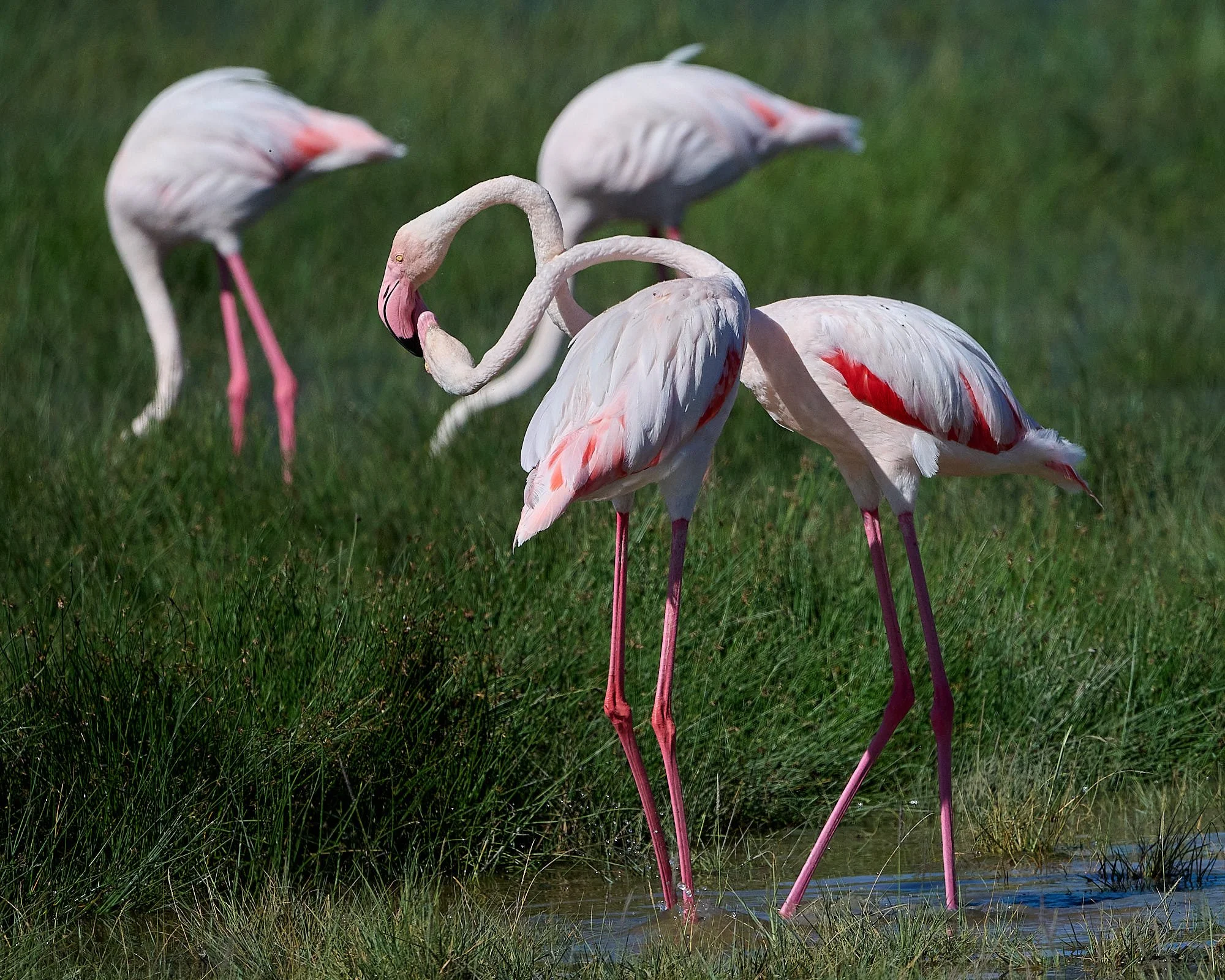
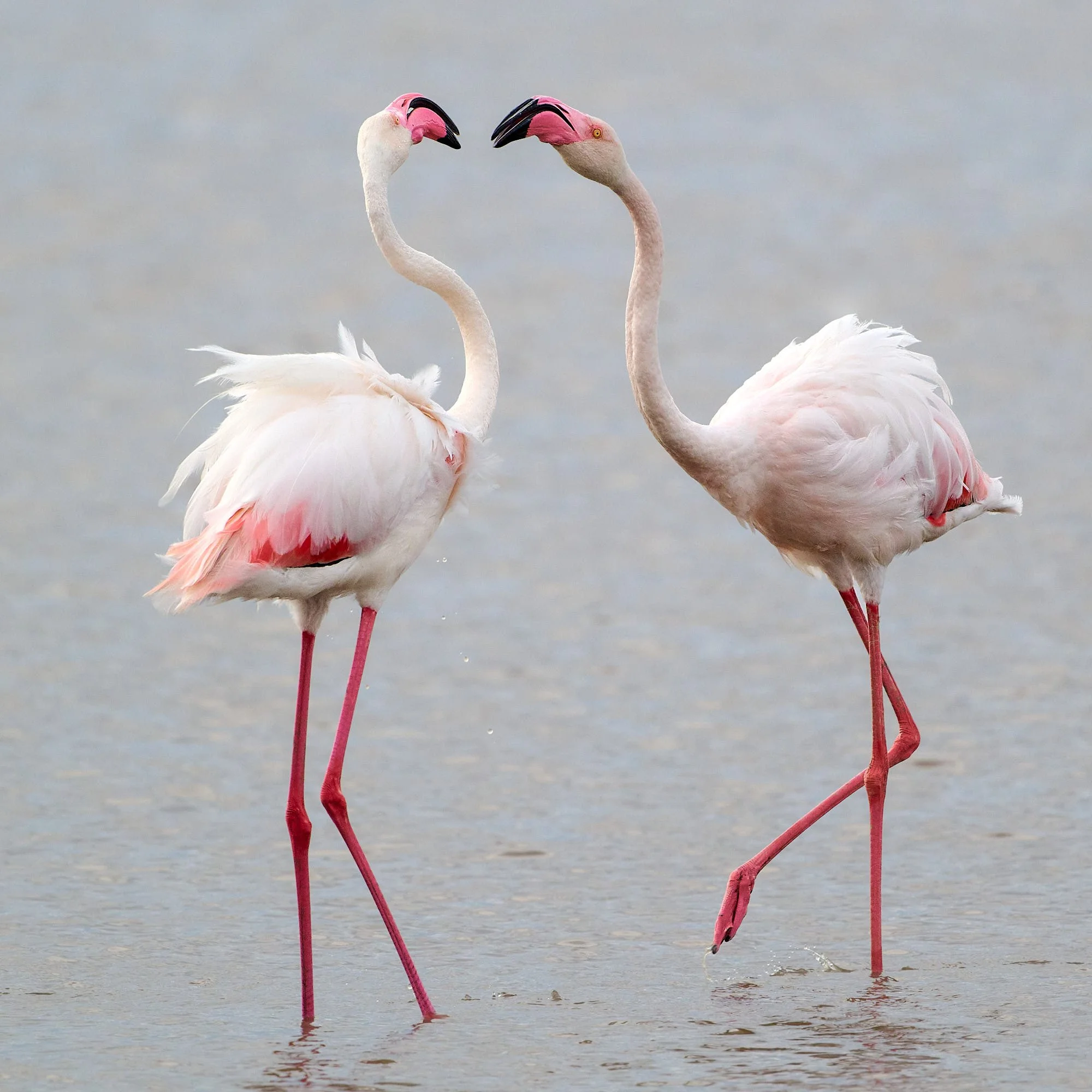
Greater Flamingoes engaged in what seemed to be agonistic behavior.
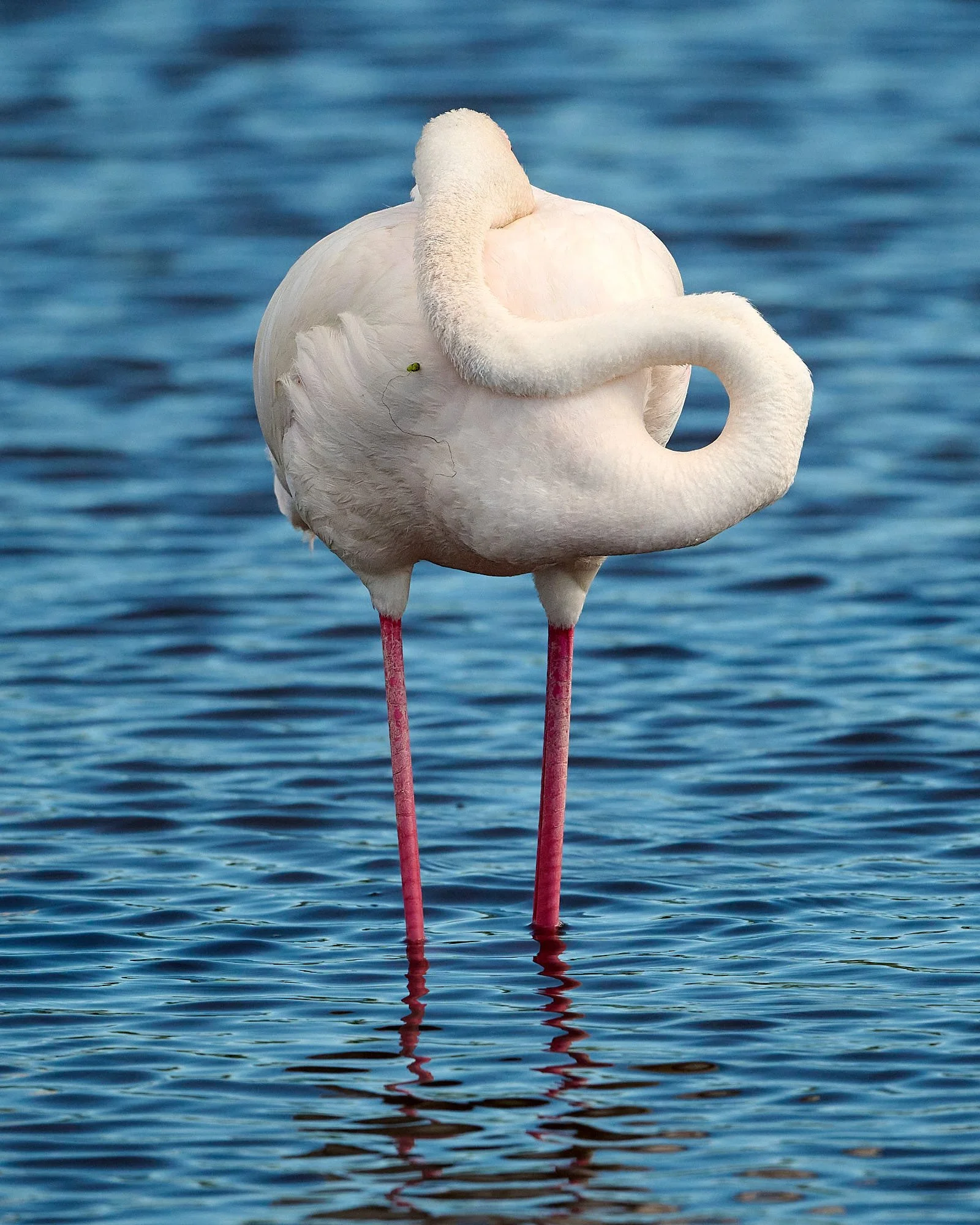
Greater Flamingo
A good snooze
Grant's Gazelle
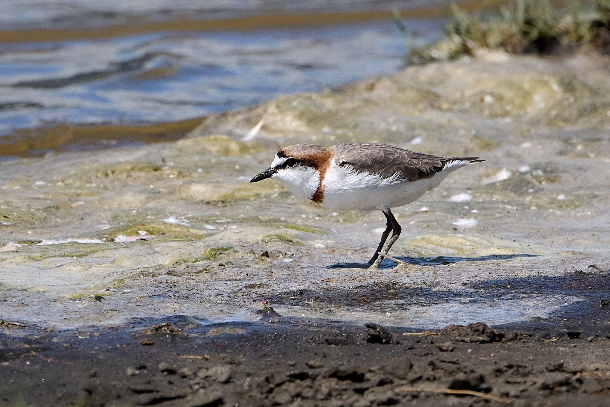
Chestnut-banded Plover
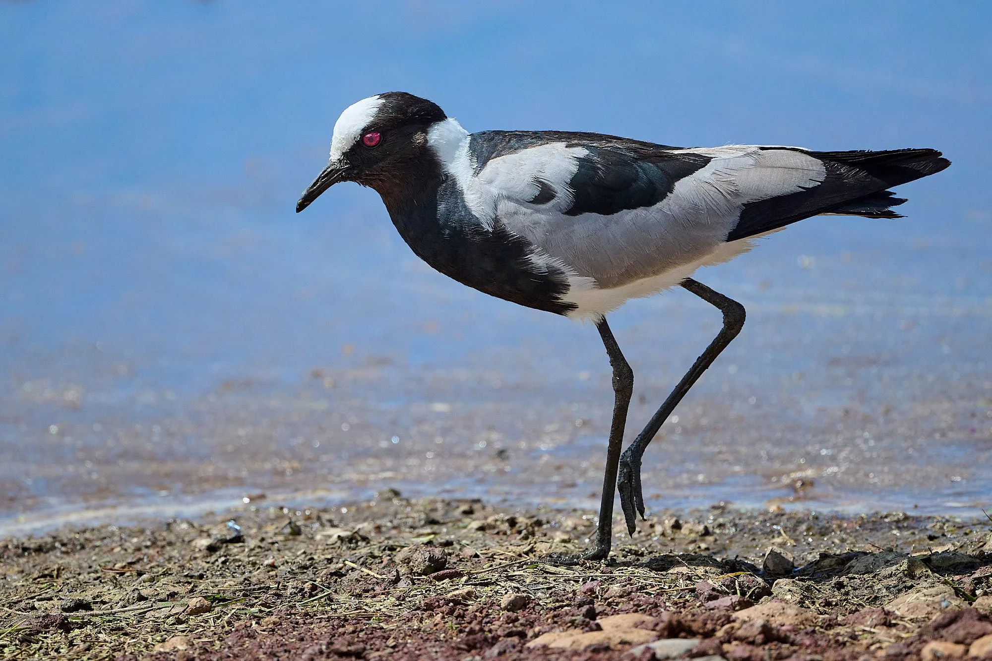
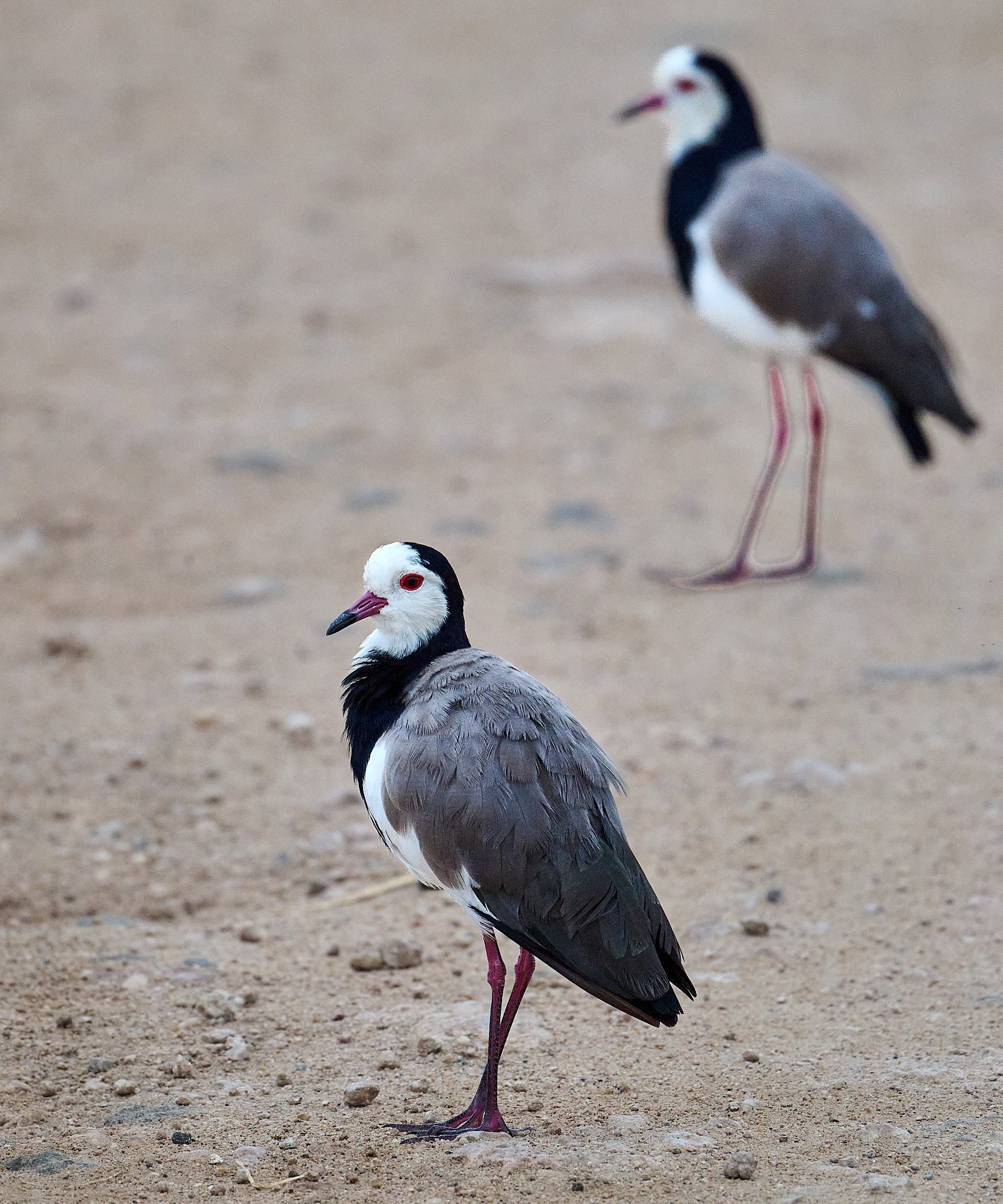
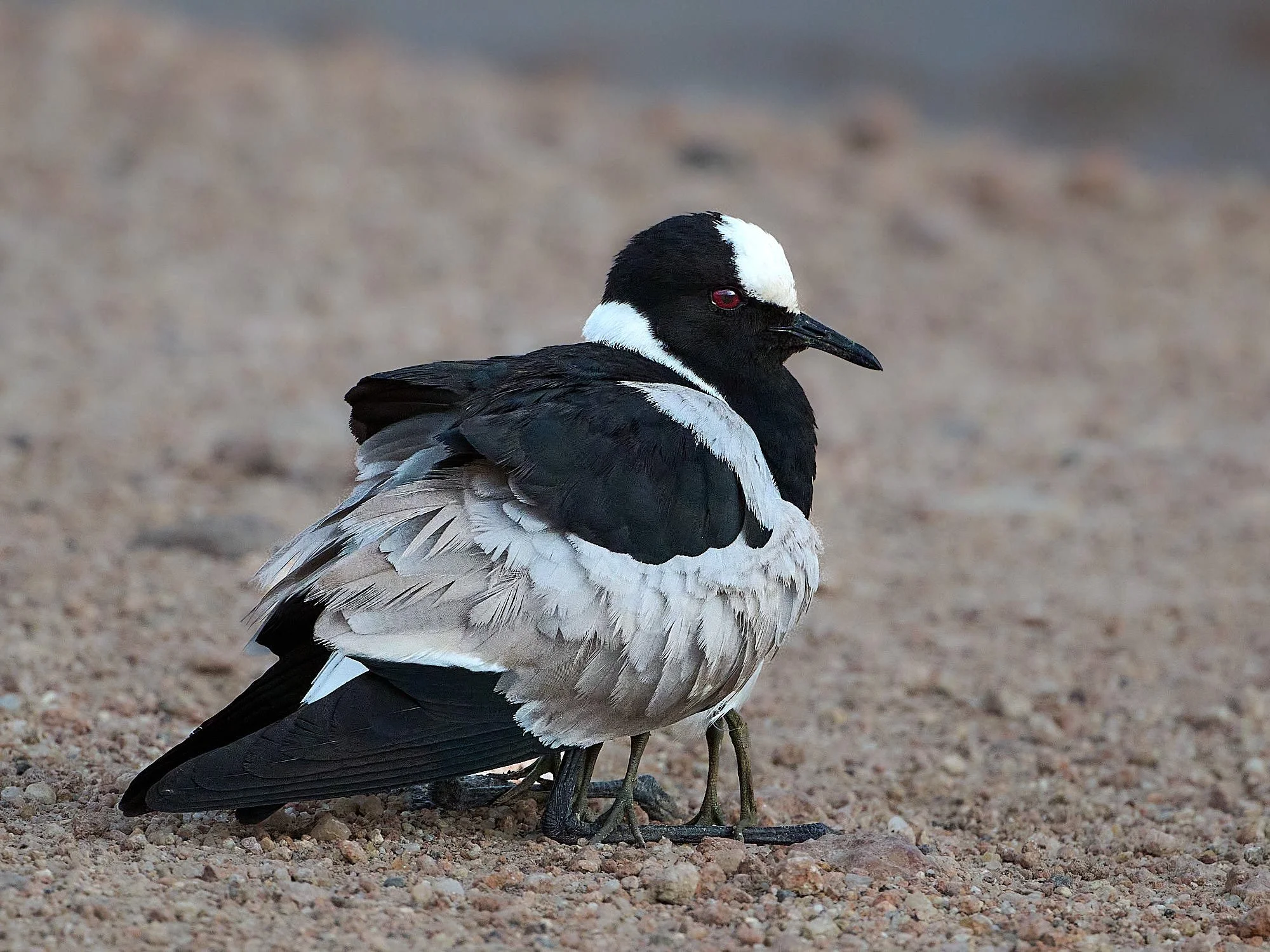
Blacksmith Lapwing
Why should we move?
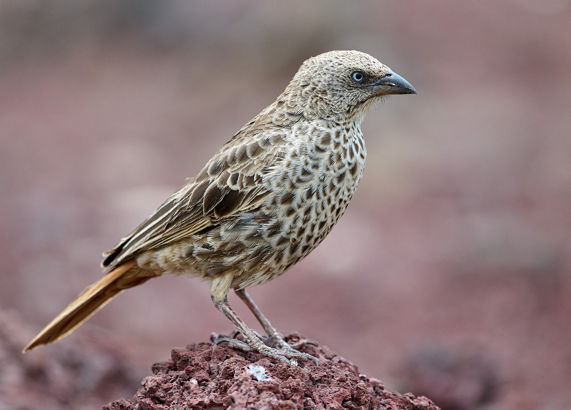
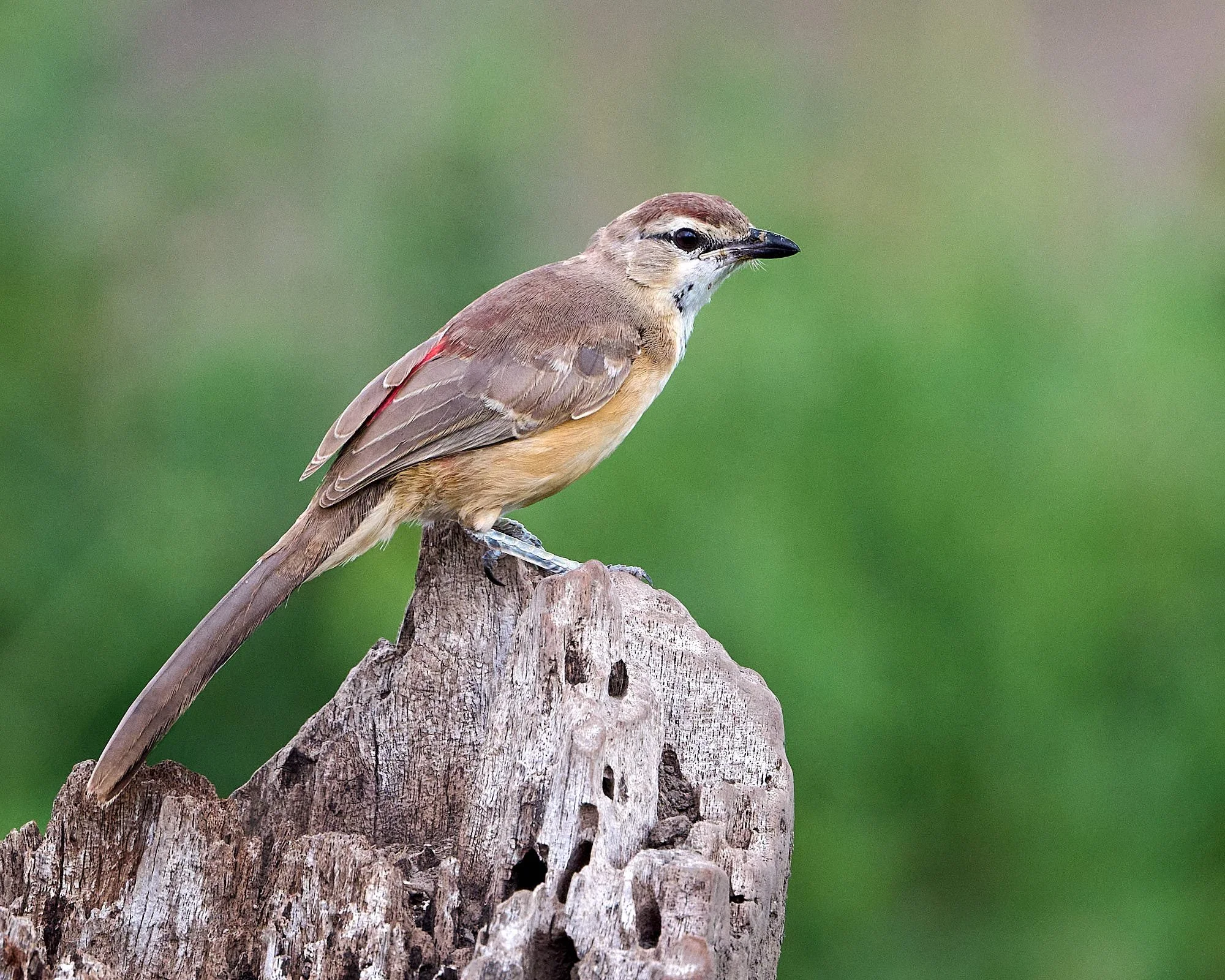
Rufous-tailed Weaver
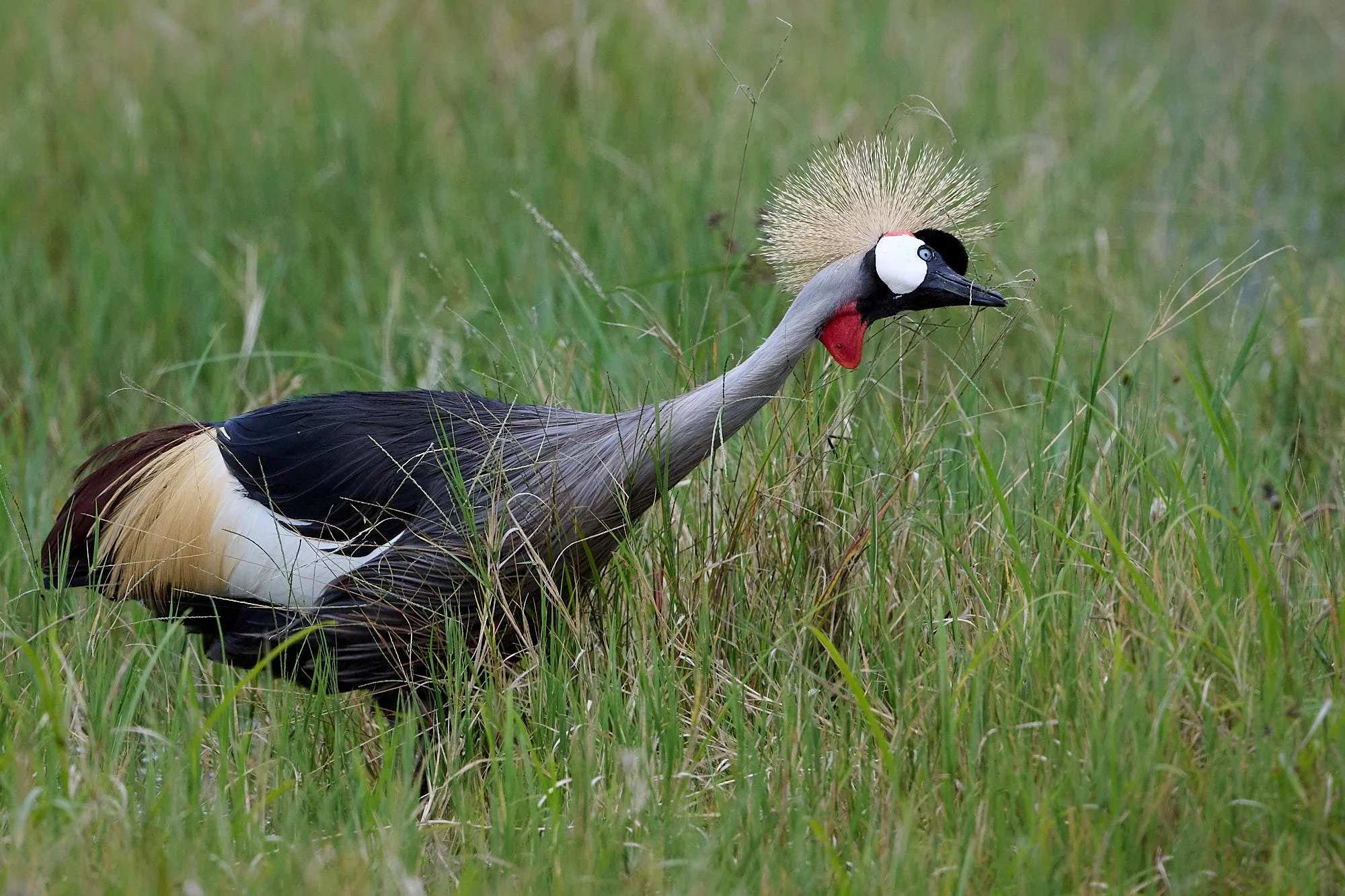
Gray Crowned Cranes are generalists and eat seed heads, fresh tips of grasses, insects, and other small animals such as lizards, frogs and crabs.
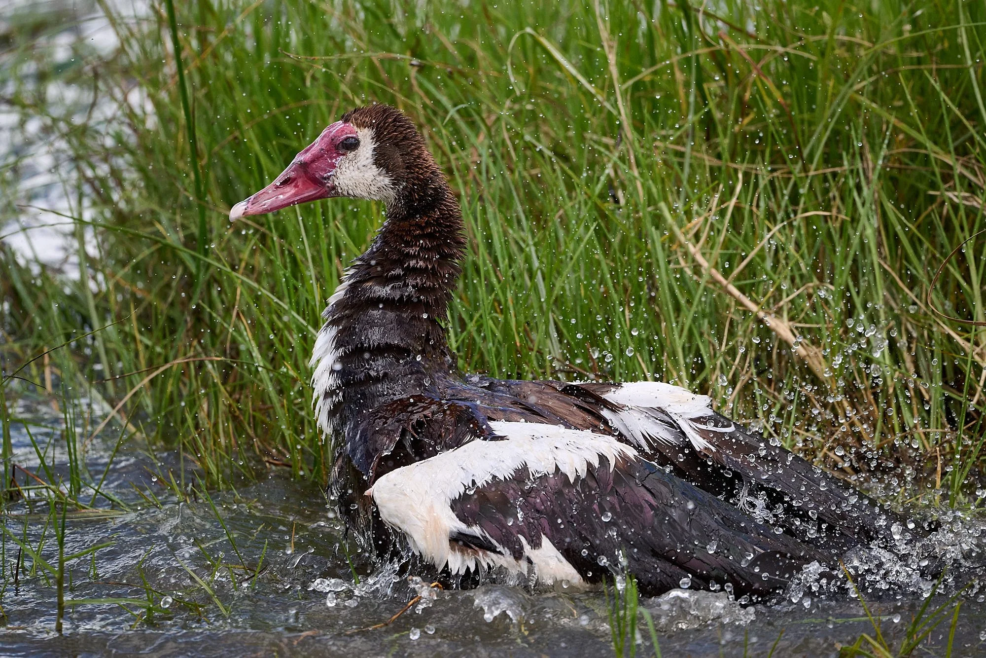
Spurwing Goose bathing
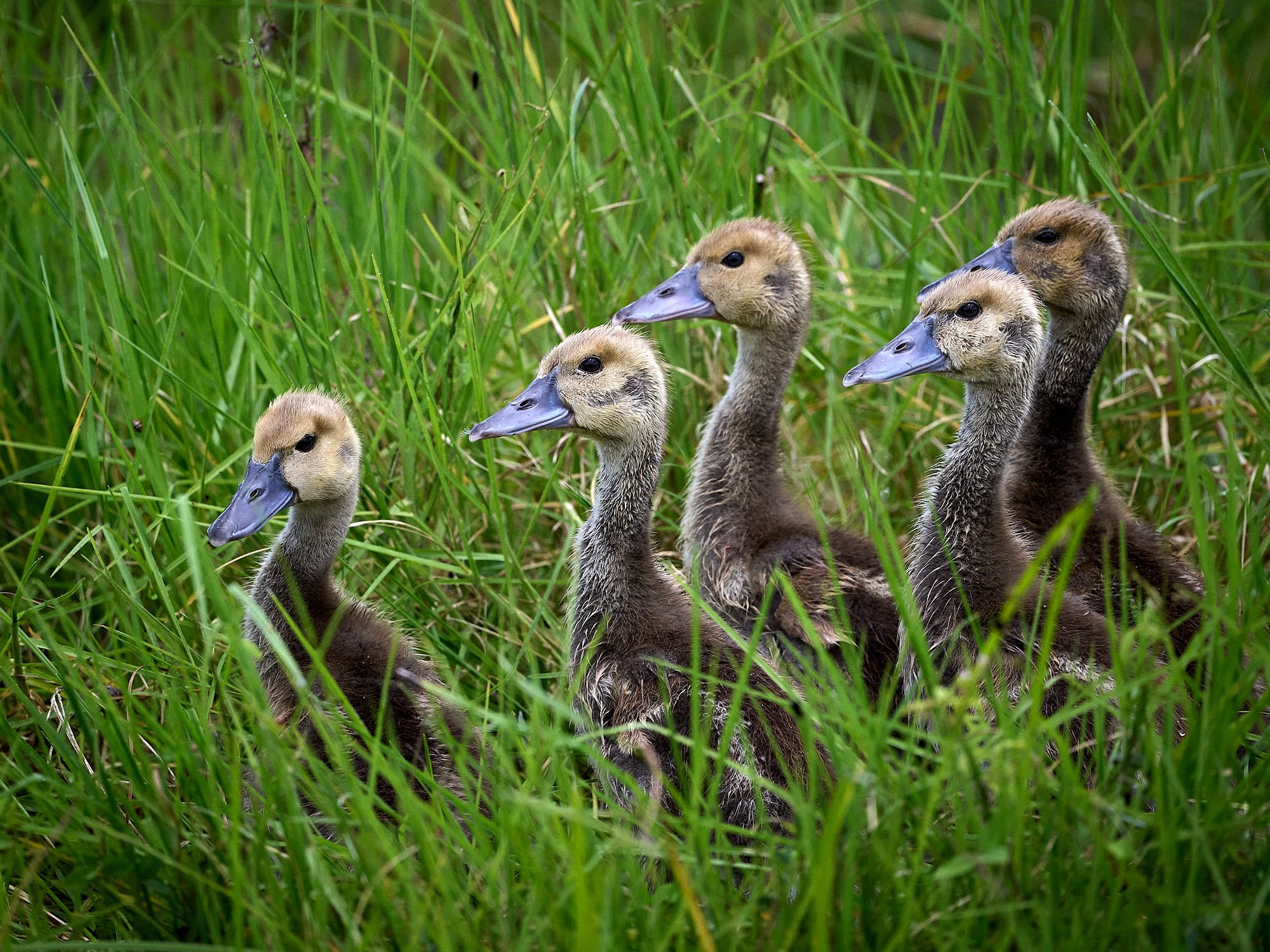
Spurwing goslings
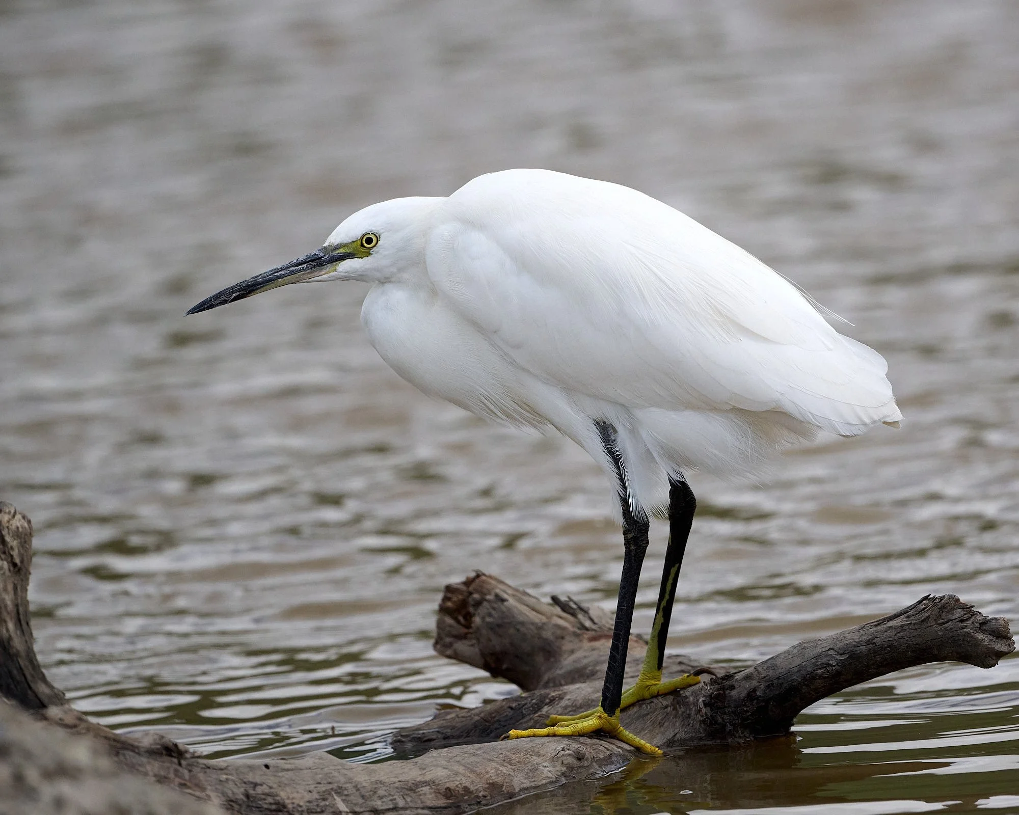
Little Egret
Amboseli National Park
Amboseli comes from a Maasai word meaning "salty dust place". The park falls in the rain shadow of Mount Kilimanjaro and is a semi-arid savanna, with habitats ranging from lake shoreline, wetlands with sulphur springs, savannah and woodlands.
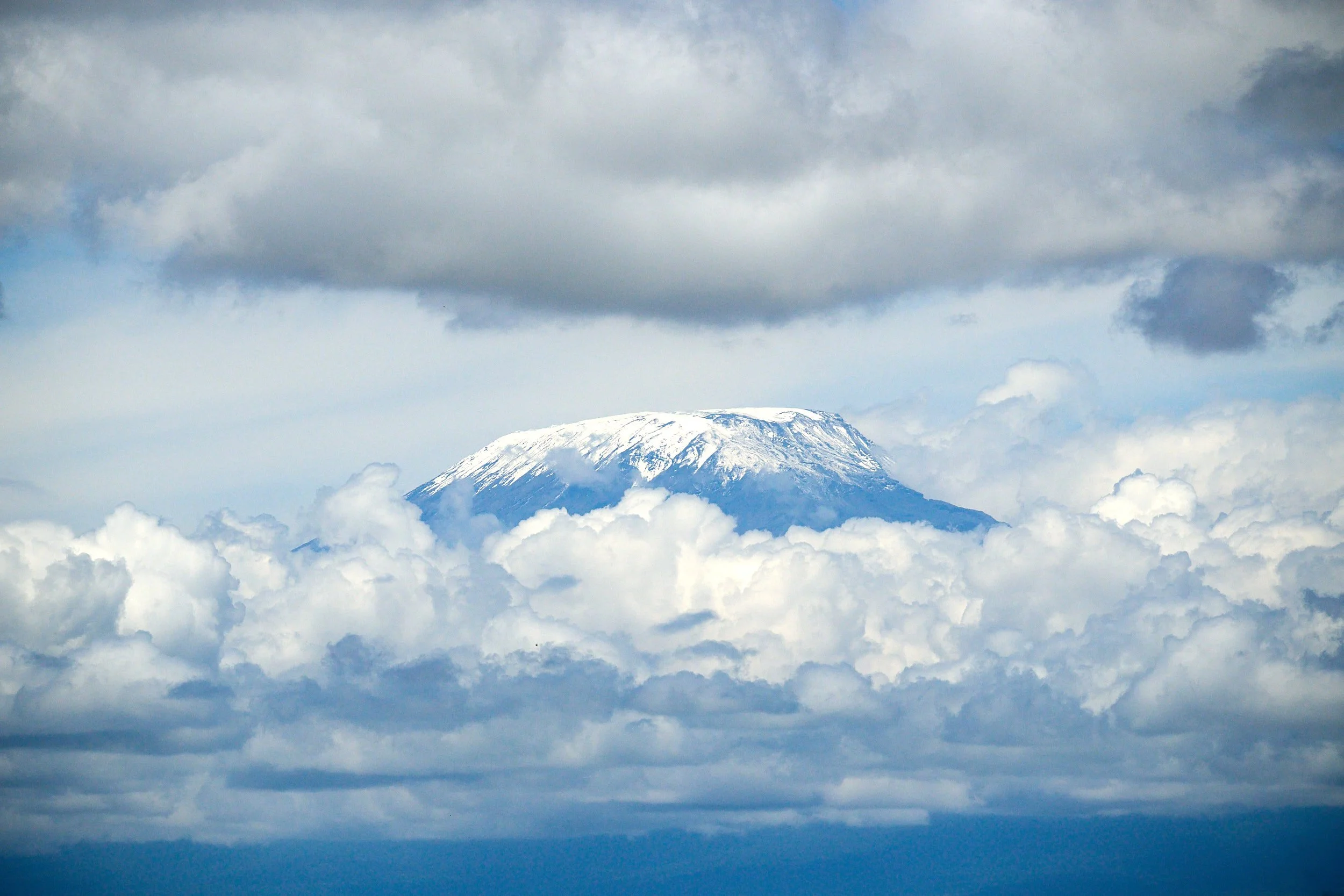
Kilimanjaro. This brief view was our only opportunity to see the mountain.
The Amboseli basin formed during the Pleistocene when the area was covered by a lake. Vast deposits of lacustrine silts and clays were laid down, reducing the relief of the topography and constricting drainage. The lake has since receded, but soils remain saline and alkaline since the basin still acts as the sump of the closed Amboseli drainage system.
Amboseli provides migratory corridors for wildlife. For example, it facilitates movement of large mammals, including elephant, eland, buffalo, African wild dog, zebra, impala, lion, cheetah, leopard and hyena to & from the montane forests of Kilimanjaro.
Over 400 species of birds have been recorded and the park is famous for its elephant population which has been intensively studied by researchers such as Joyce Poole, Katy Payne and Cynthia Moss.
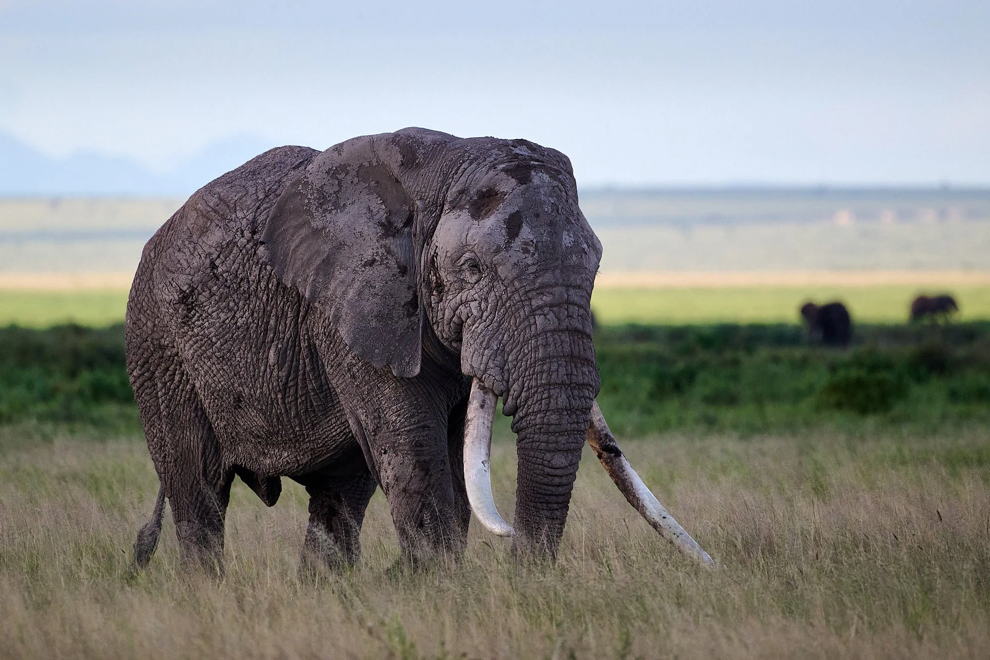
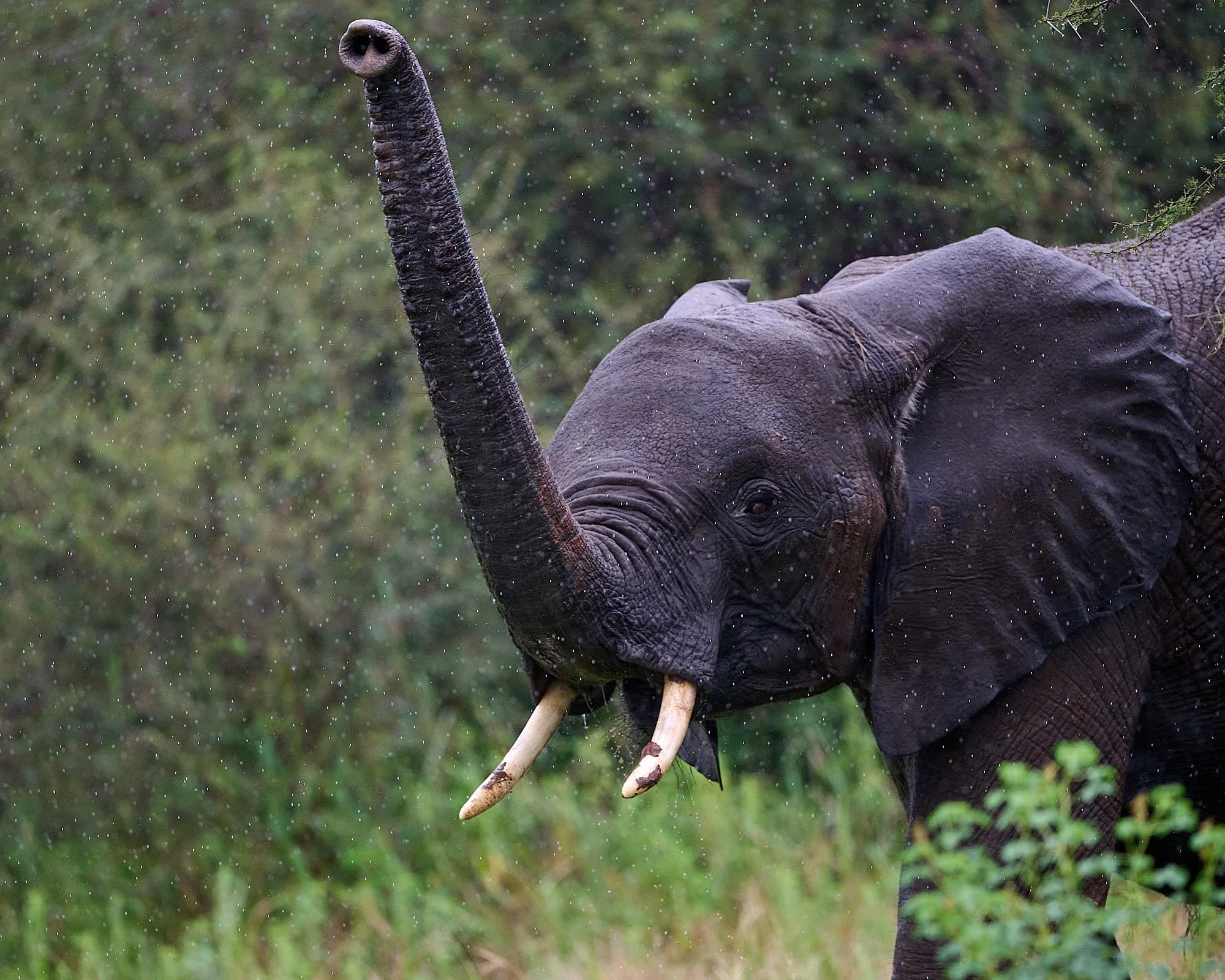
Amboseli tusker
Beautiful Sunbird
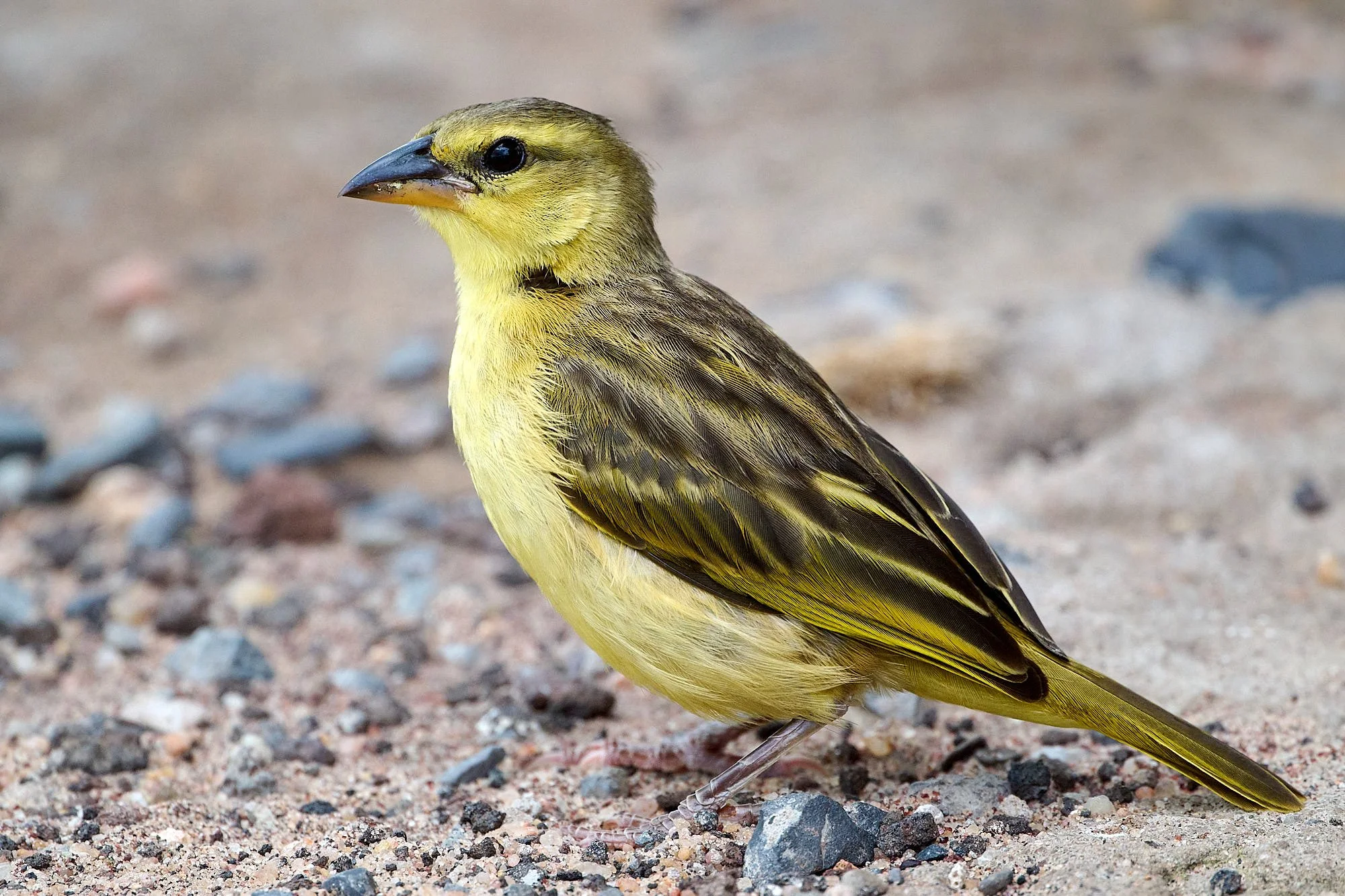
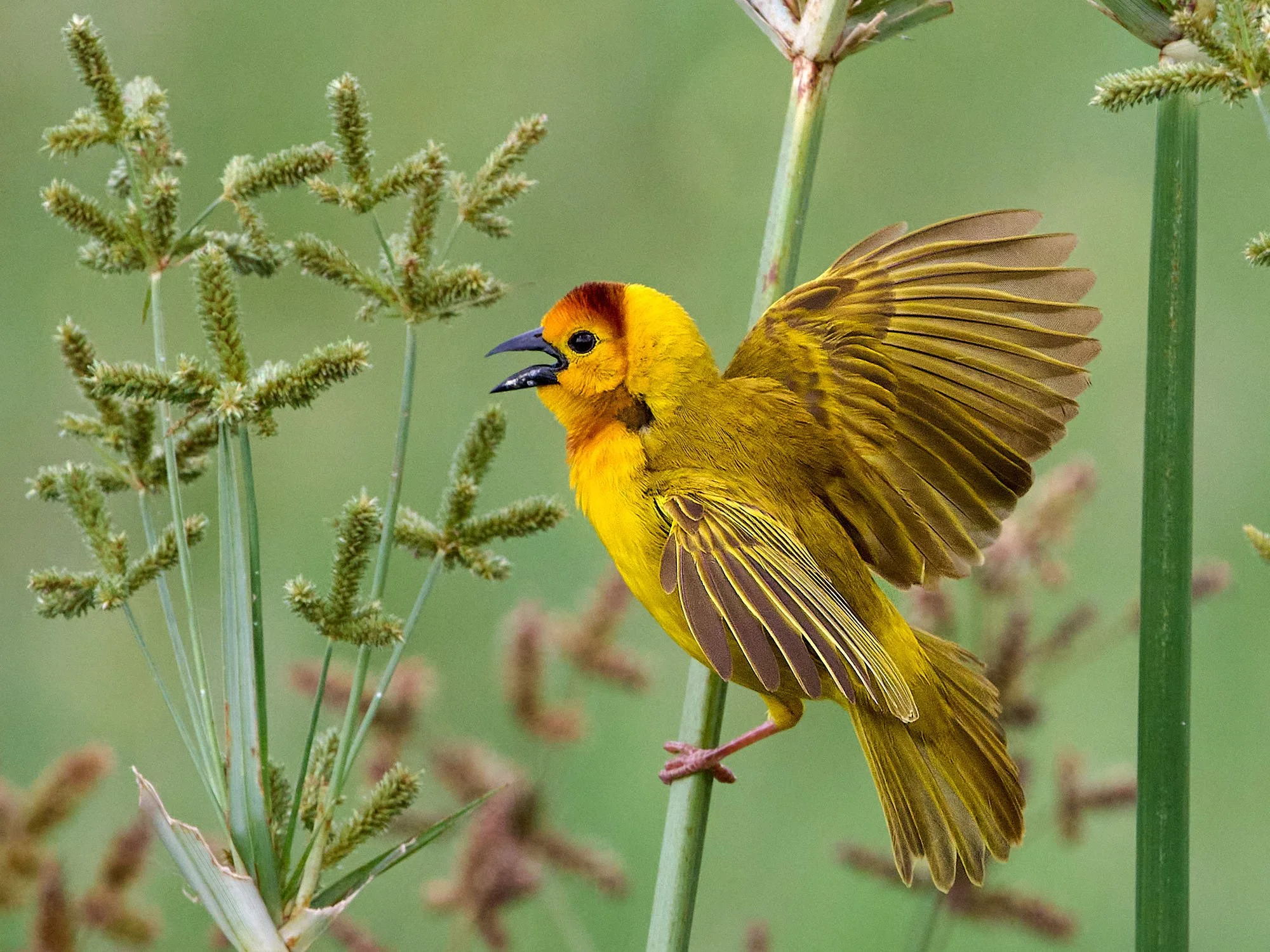
Taveta Golden Weaver, female
Thomson's Gazelle
Taita Fiscal
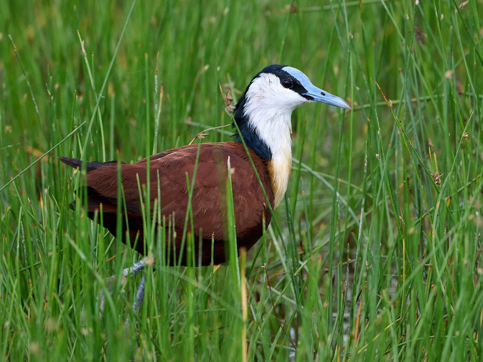
African Jacana
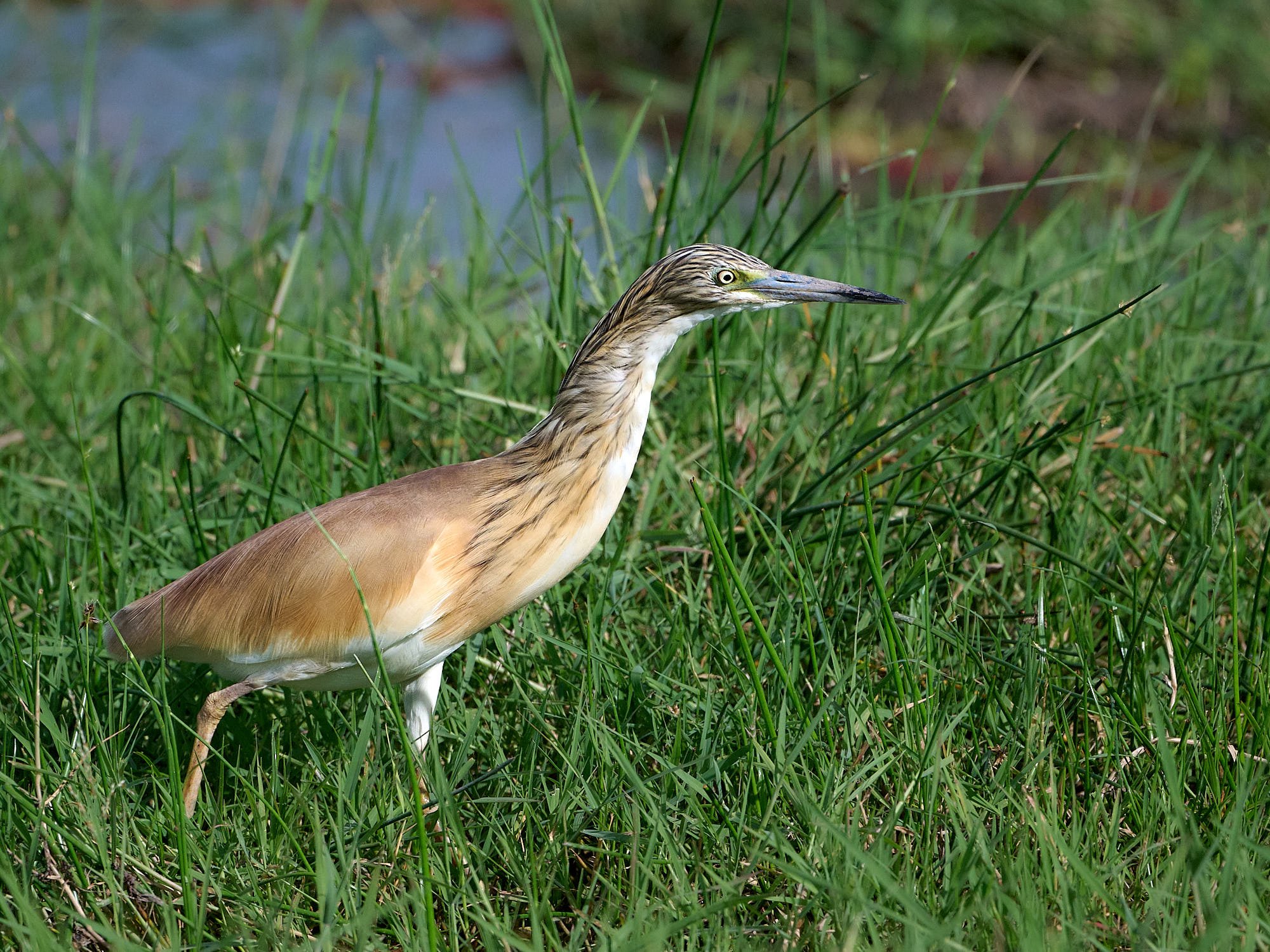
Squacco Heron
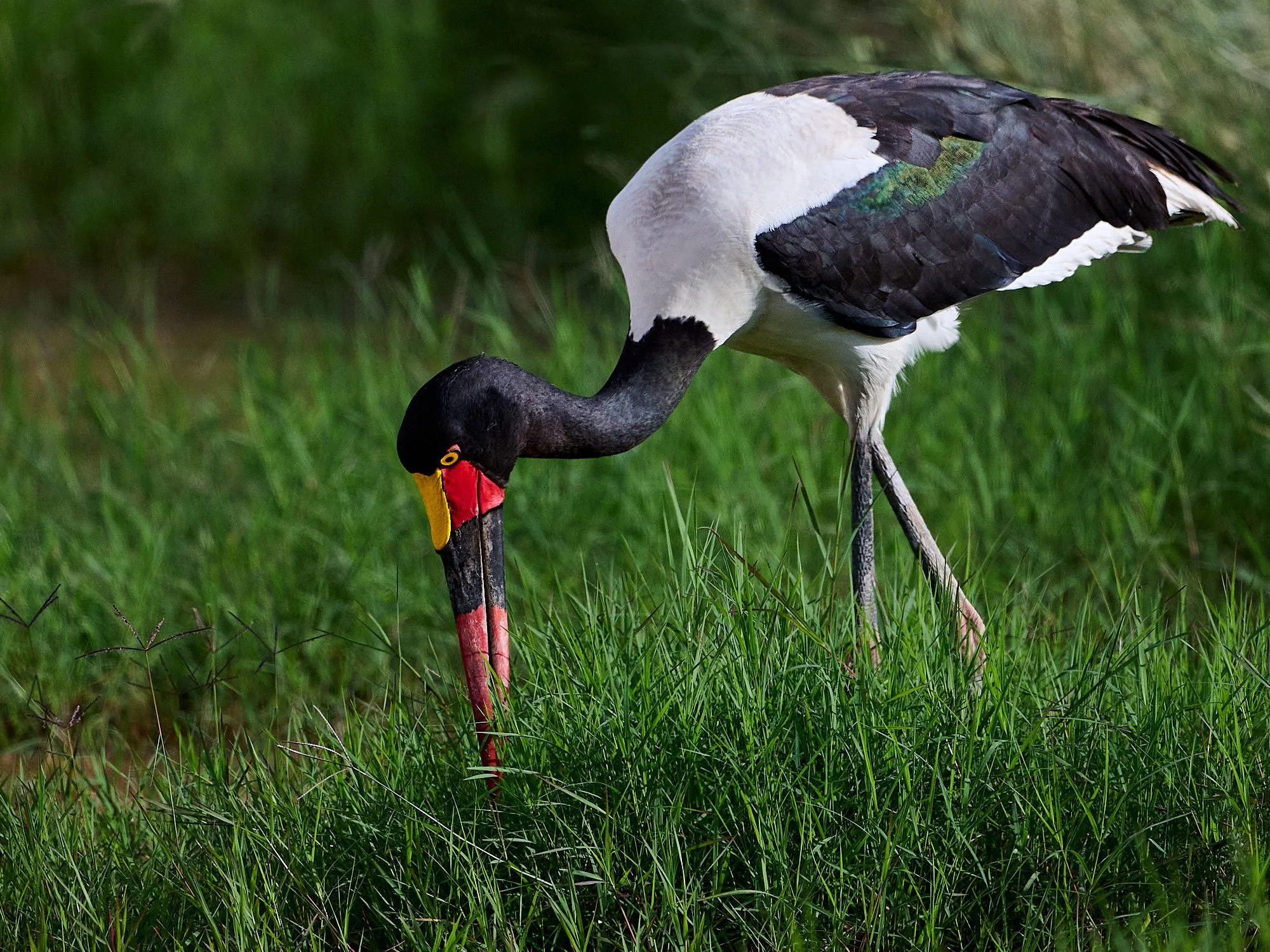
Saddle-billed Stork, female
Day's end
Kori Bustard, male in full display at lek
Cut-throat
Fire-fronted Bishop
Gray Crowned Crane
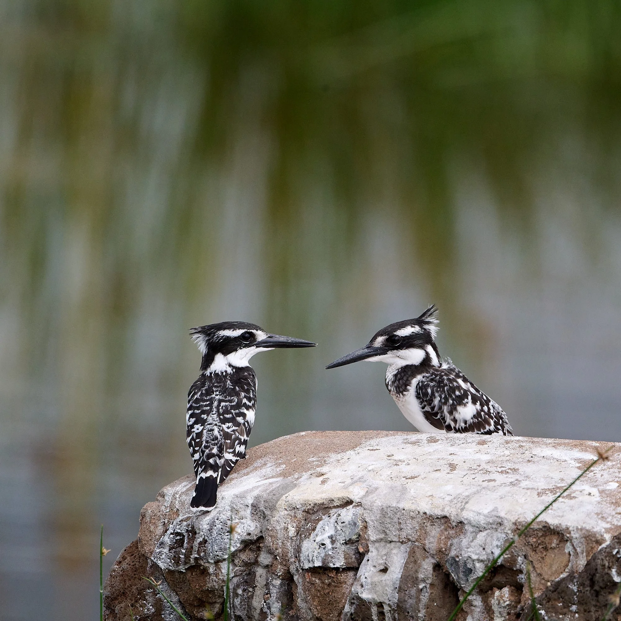
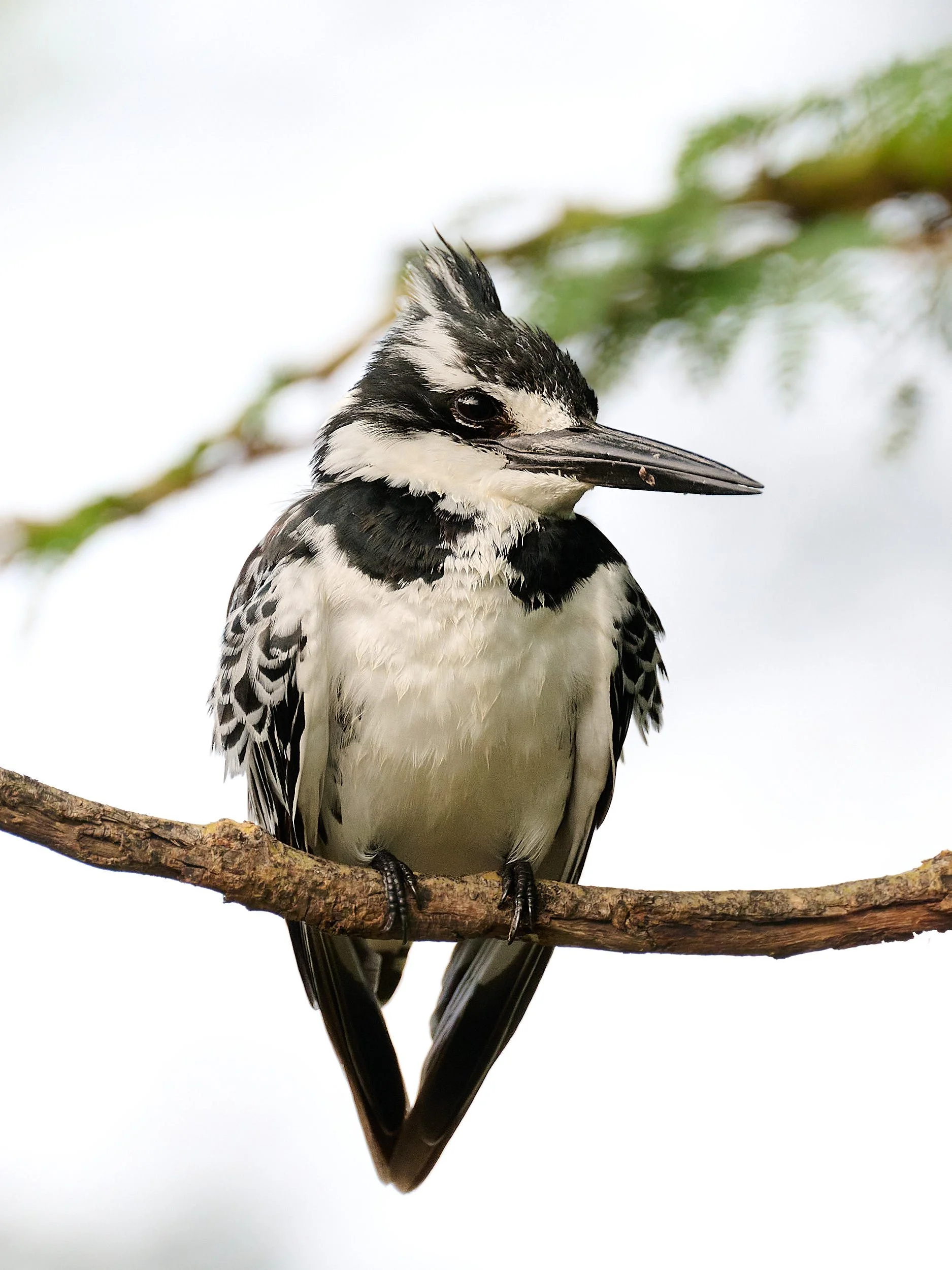
Pied Kingfisher pair
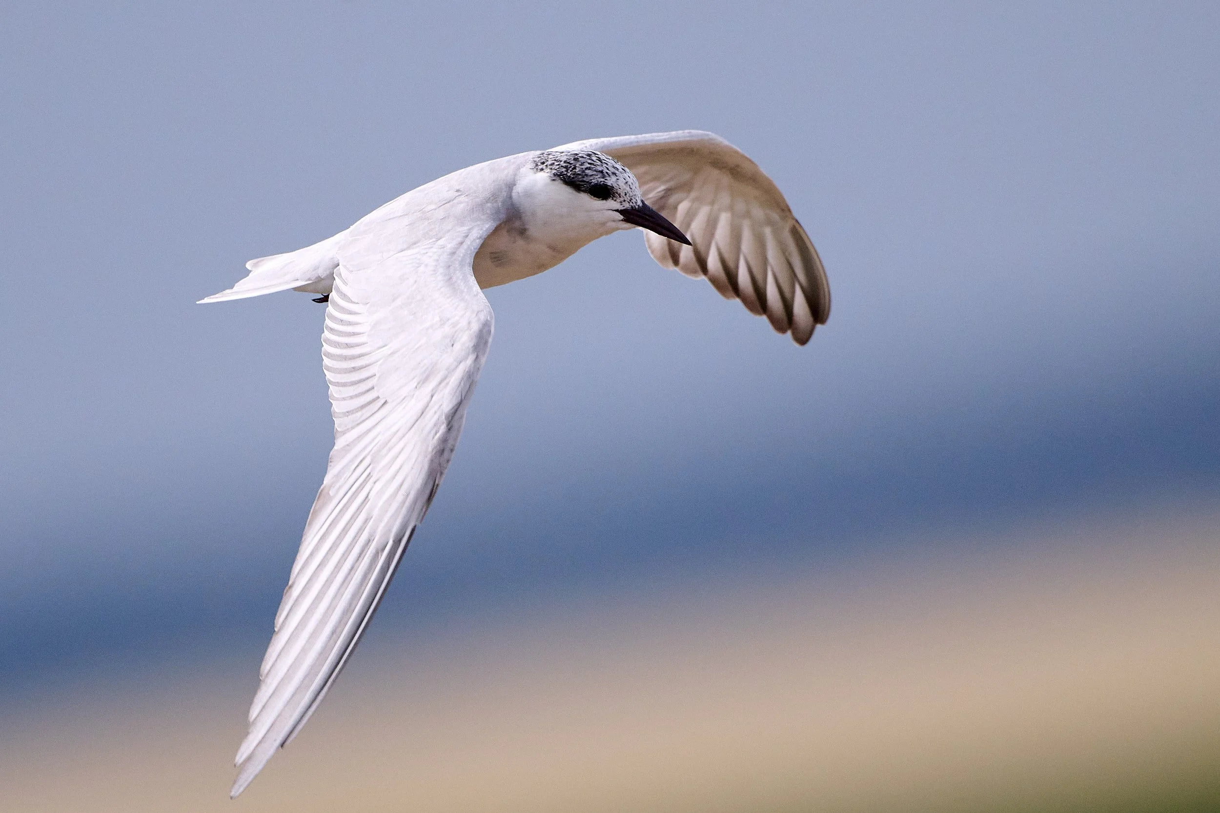
Whiskered Tern
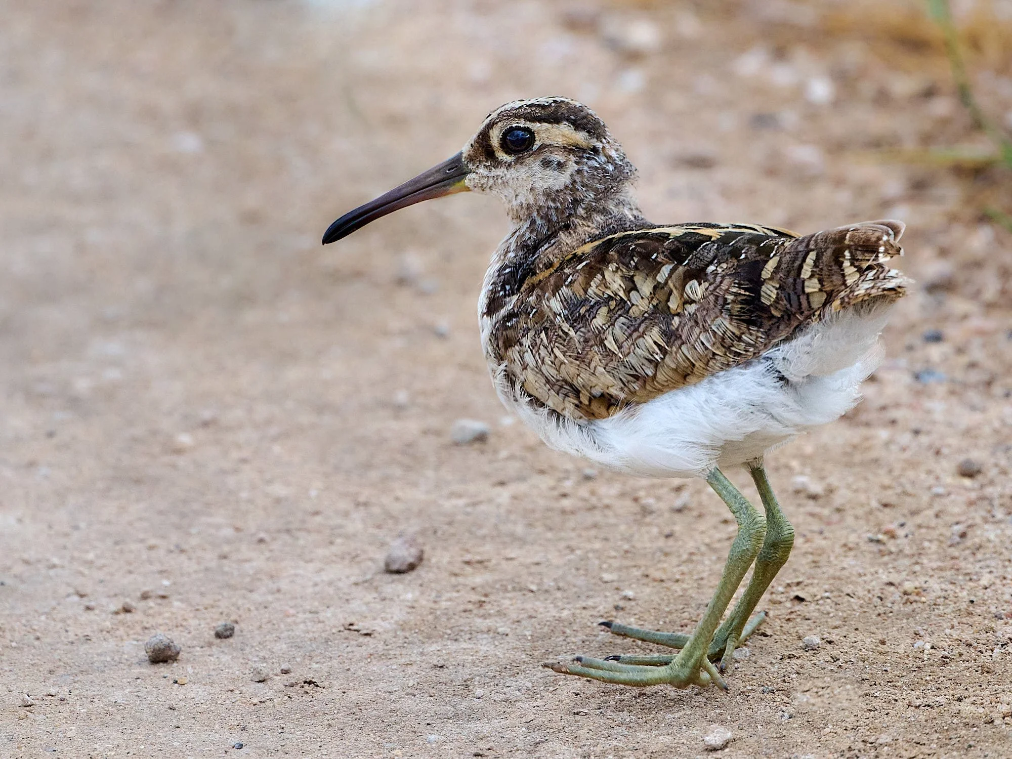
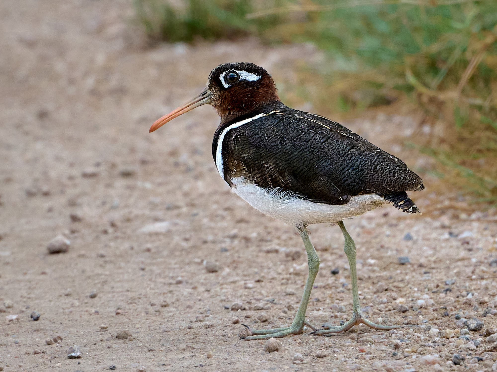
Greater Painted-Snipe, male/juvenile
Greater Painted-Snipe, female
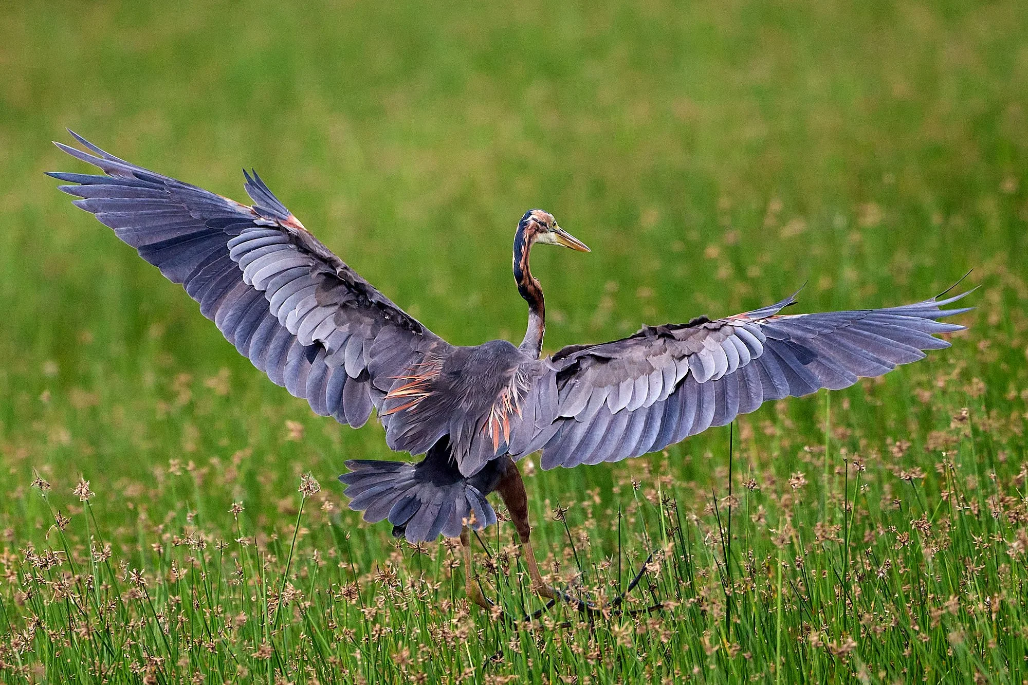
Goliath Heron
White-winged Tern
Taveta Golden-Weaver
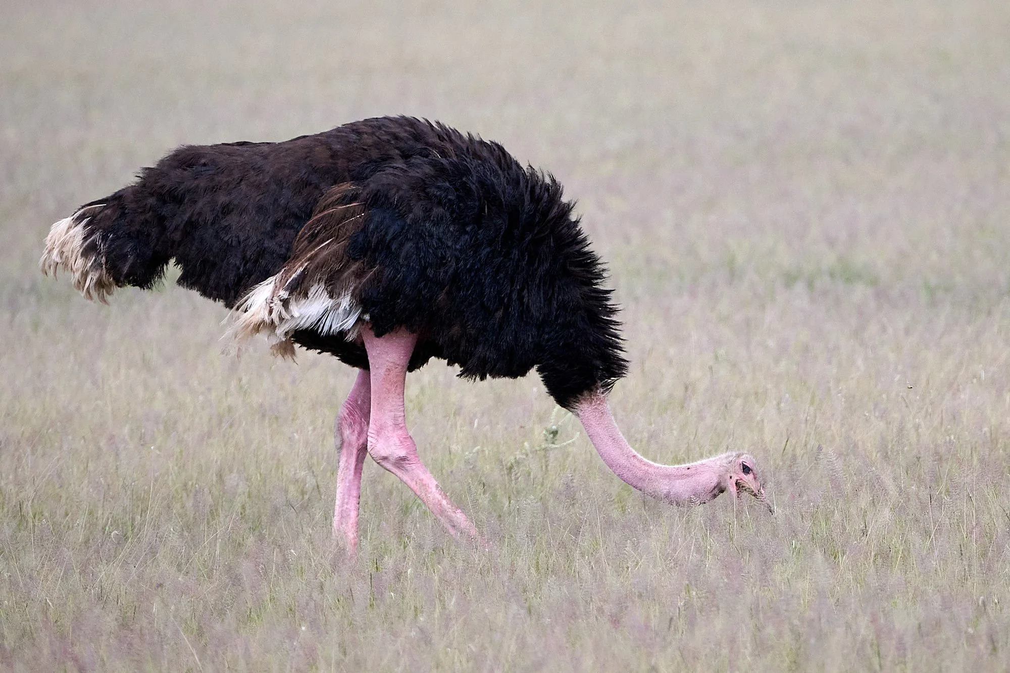
Common Ostrich, male
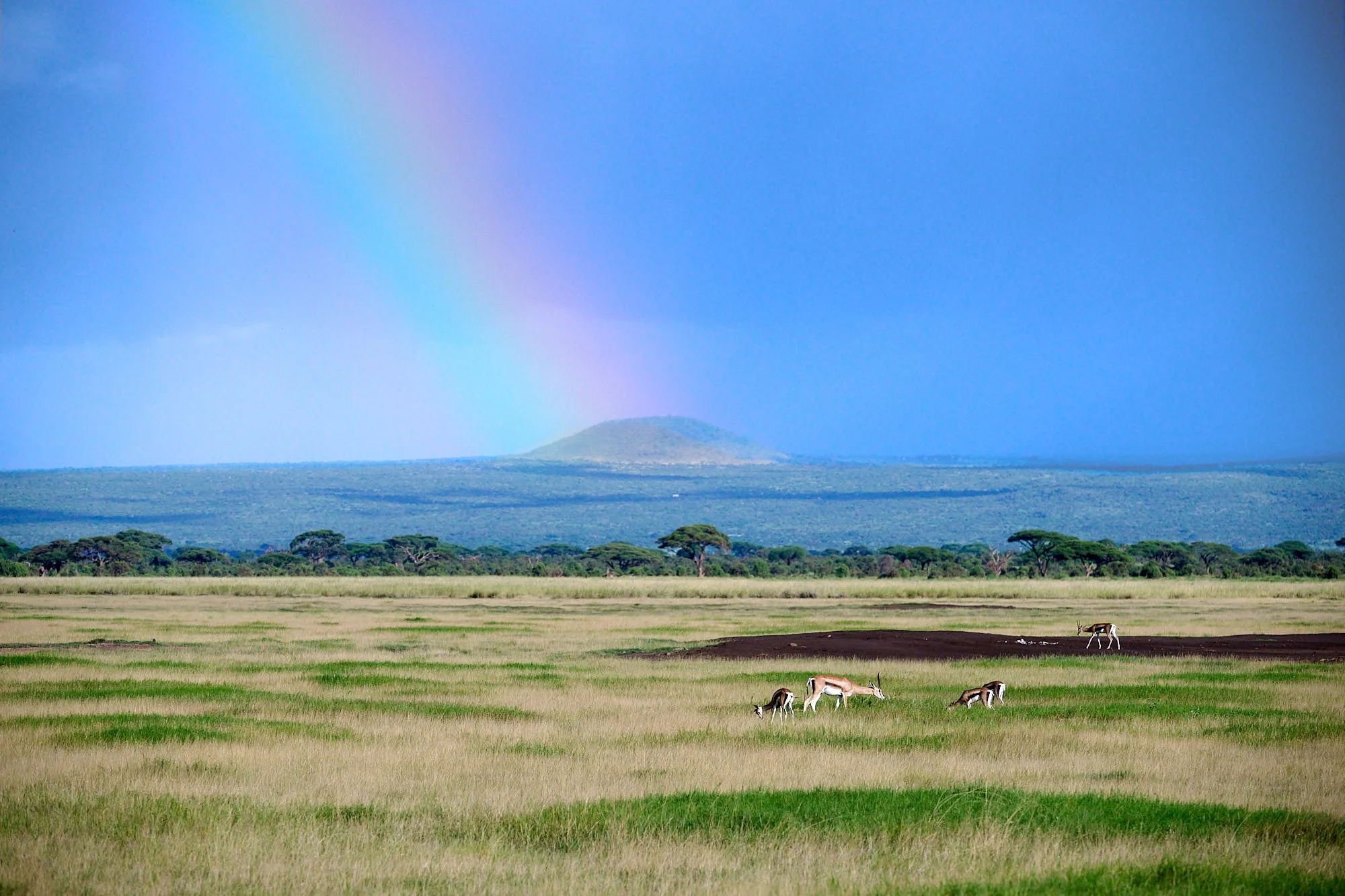
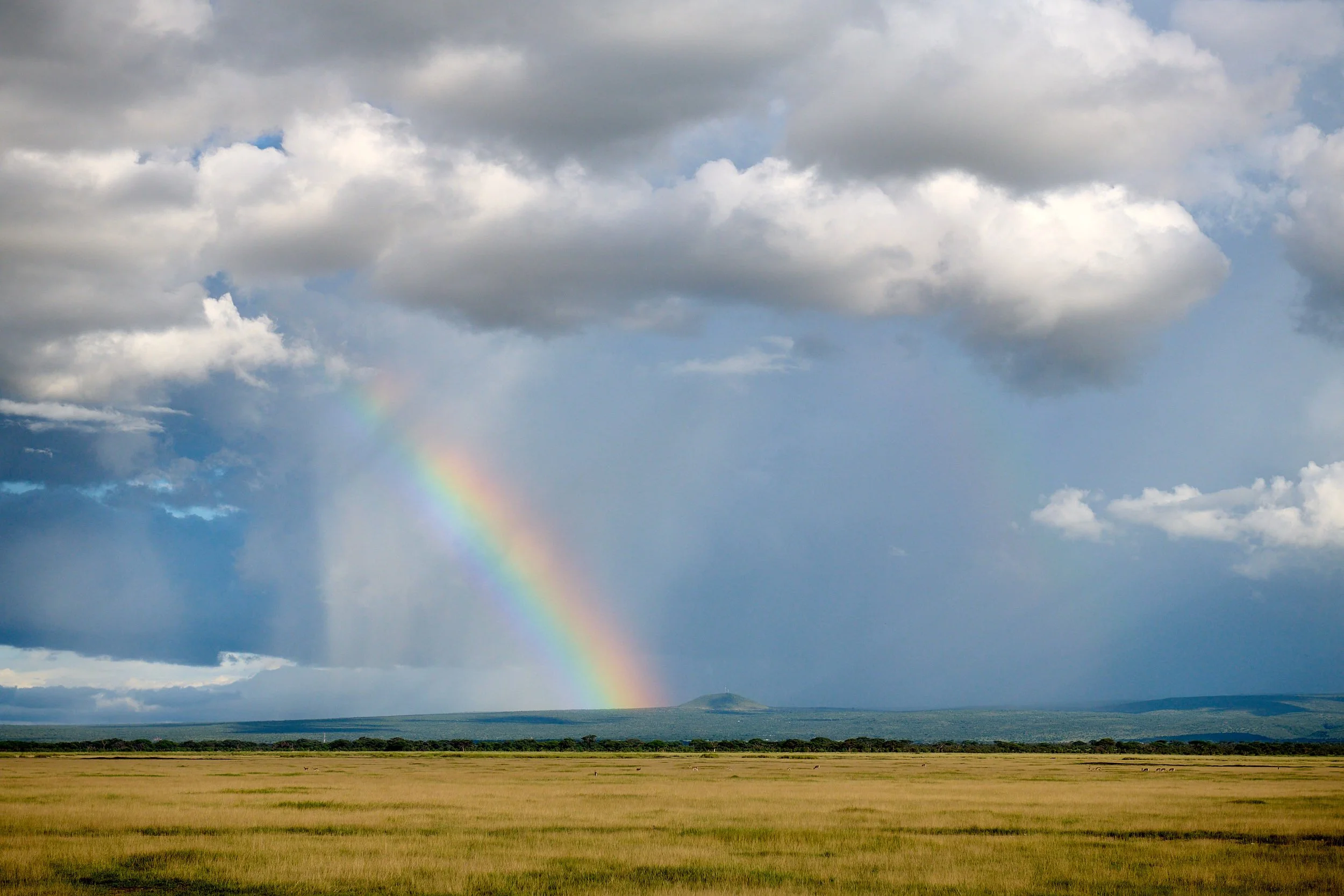
Freshly washed plains
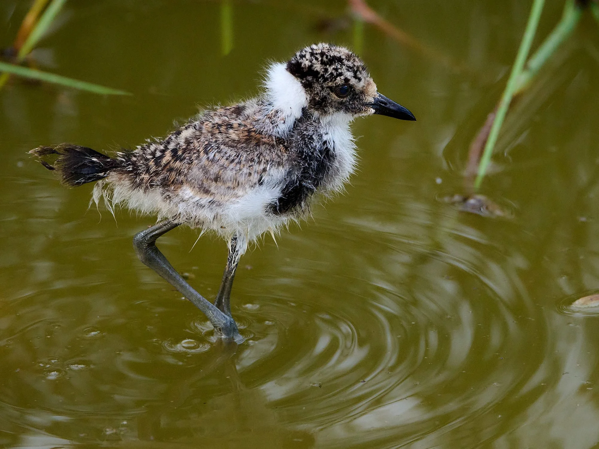
Blacksmith Lapwing chick

Fulvous Whistling-Duck
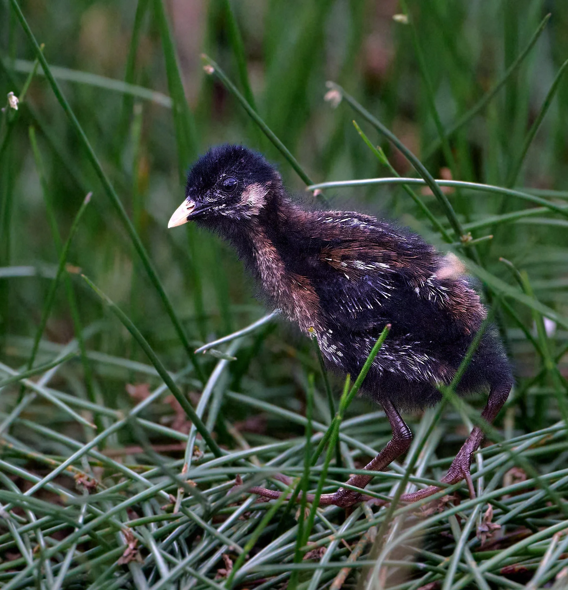
Baillon's Crake, chick
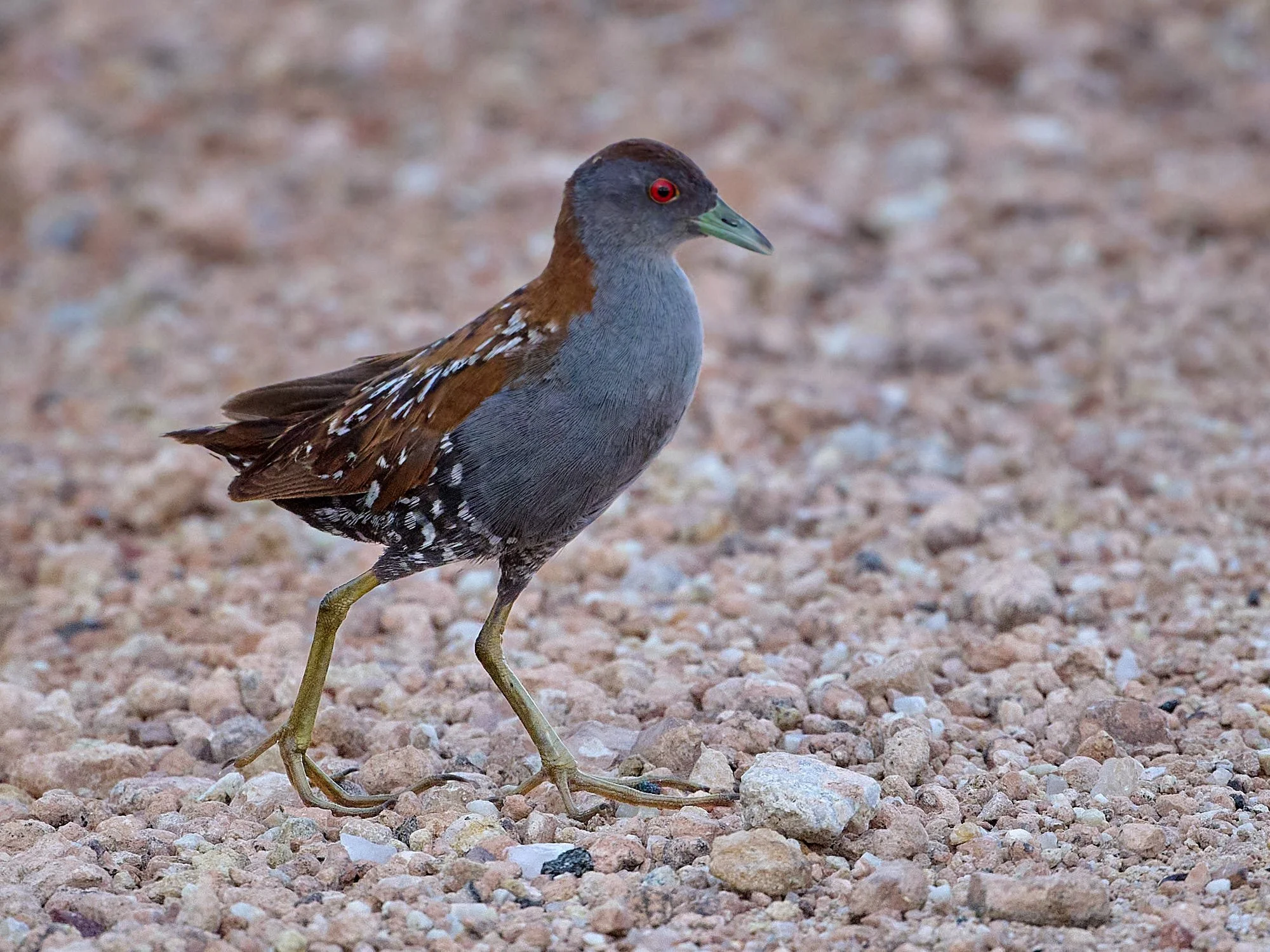
Baillon's Crake, adult
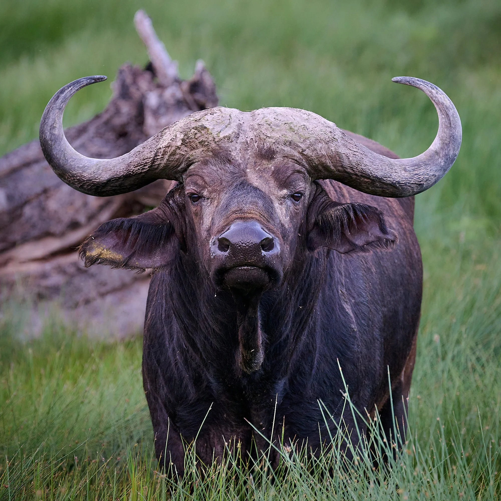
Cape Buffalo
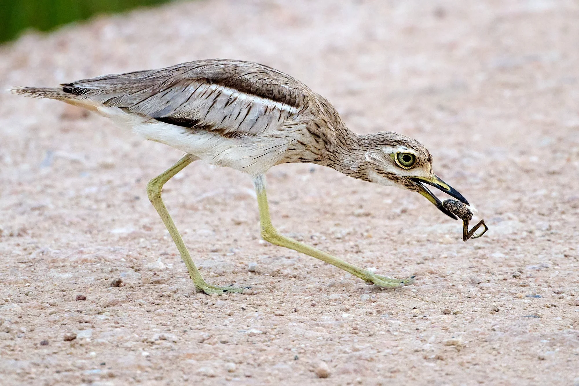
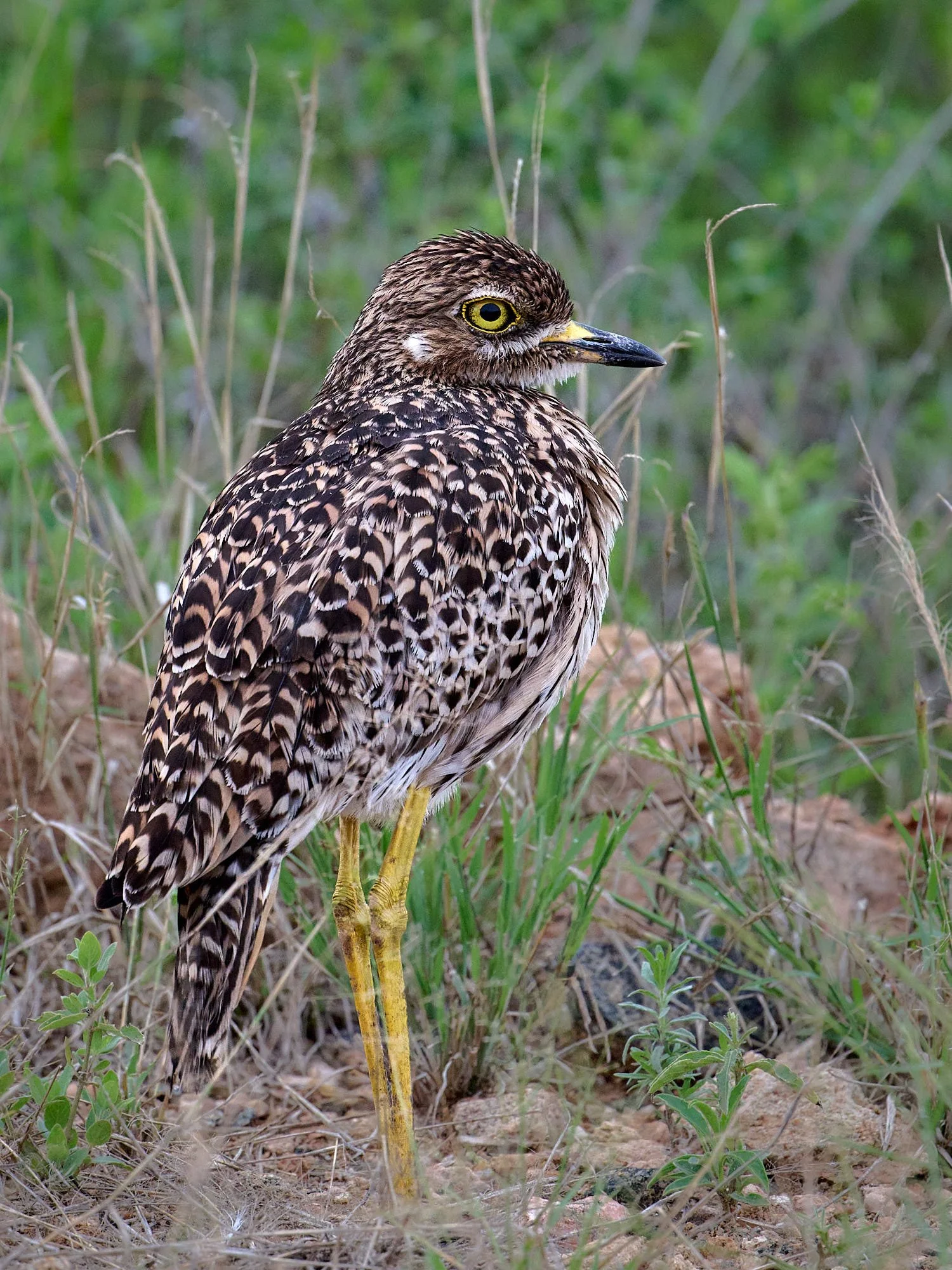
Water Thick-knee with half a frog. It had three chicks in attendance.
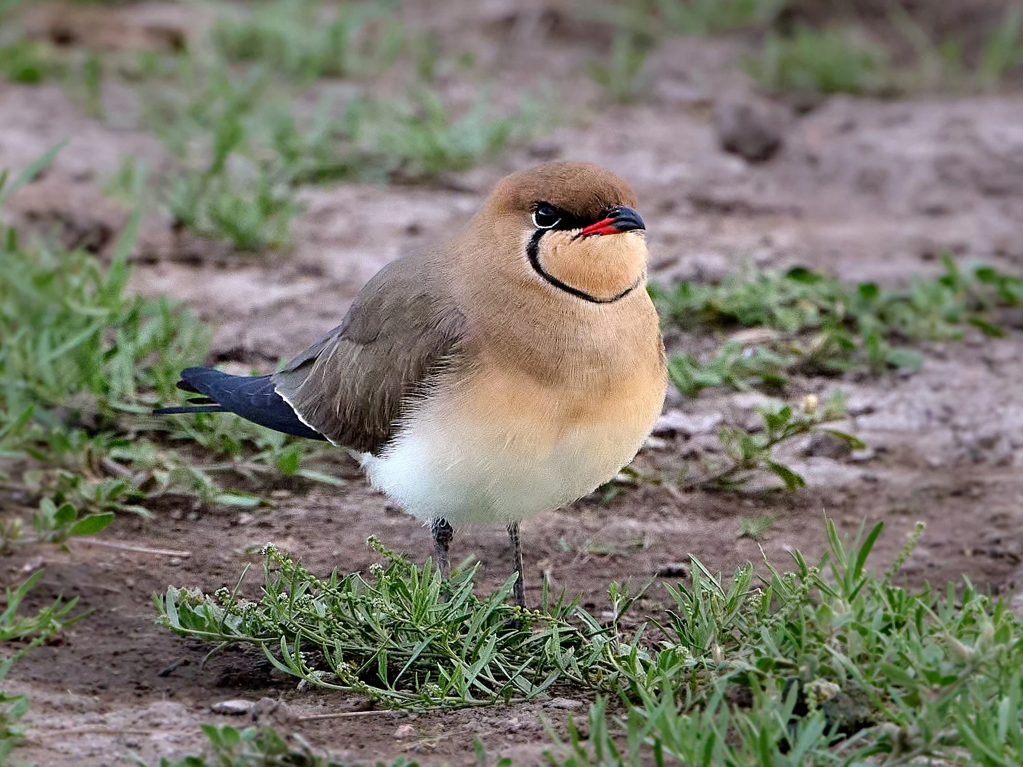
Collared Pratincole
Long-toed Lapwing
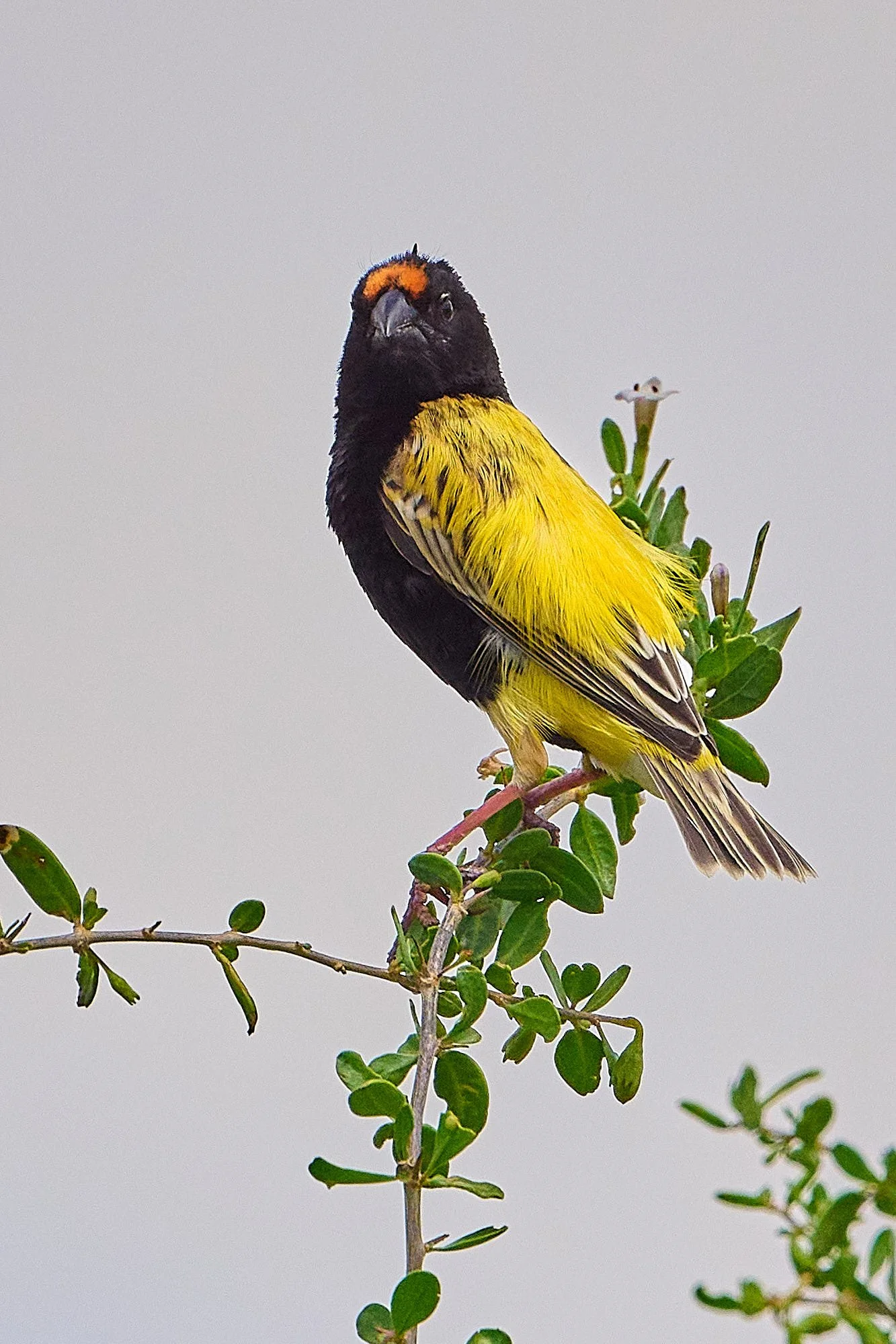
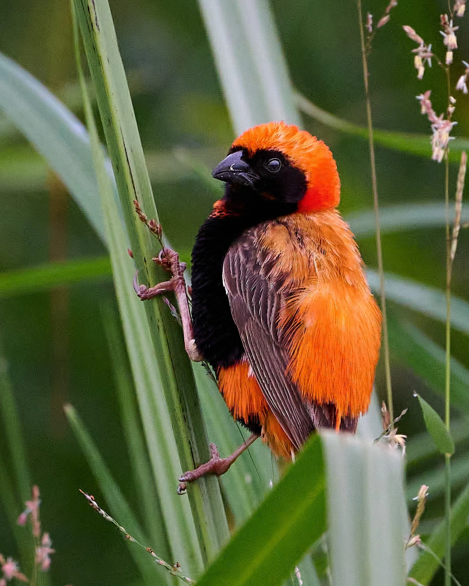
Yellow-crowned Bishop
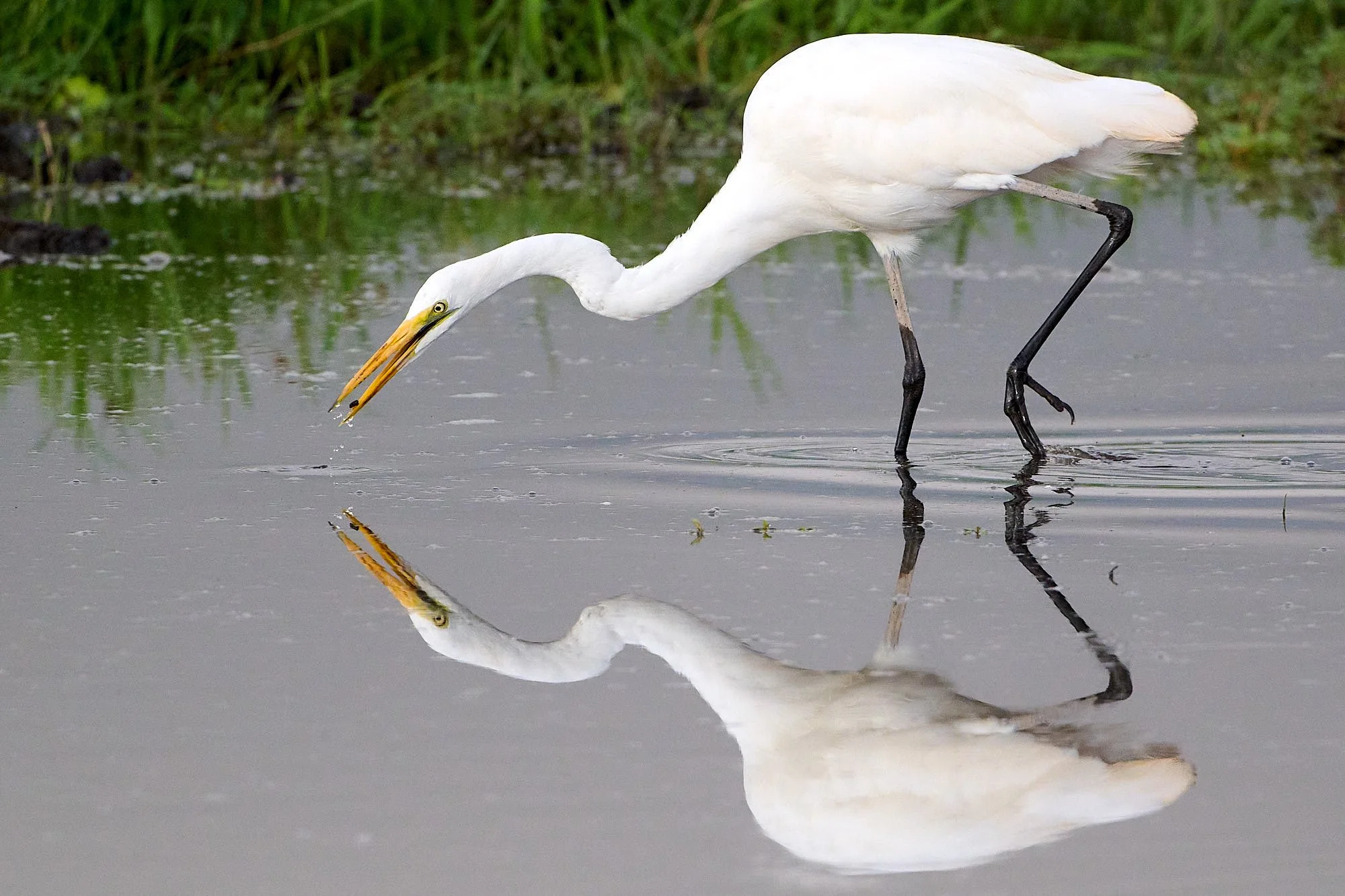
Great Egret
Dramatic late afternoon
Blacksmith Lapwing. Count the legs!
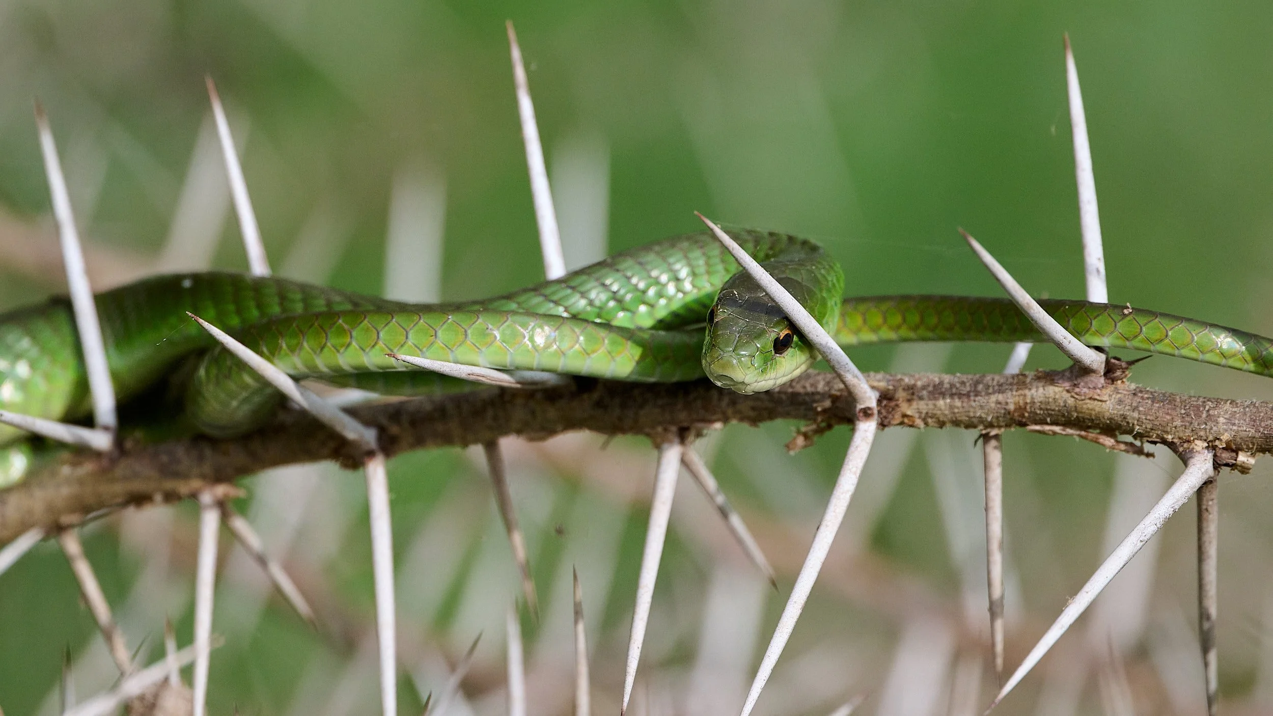
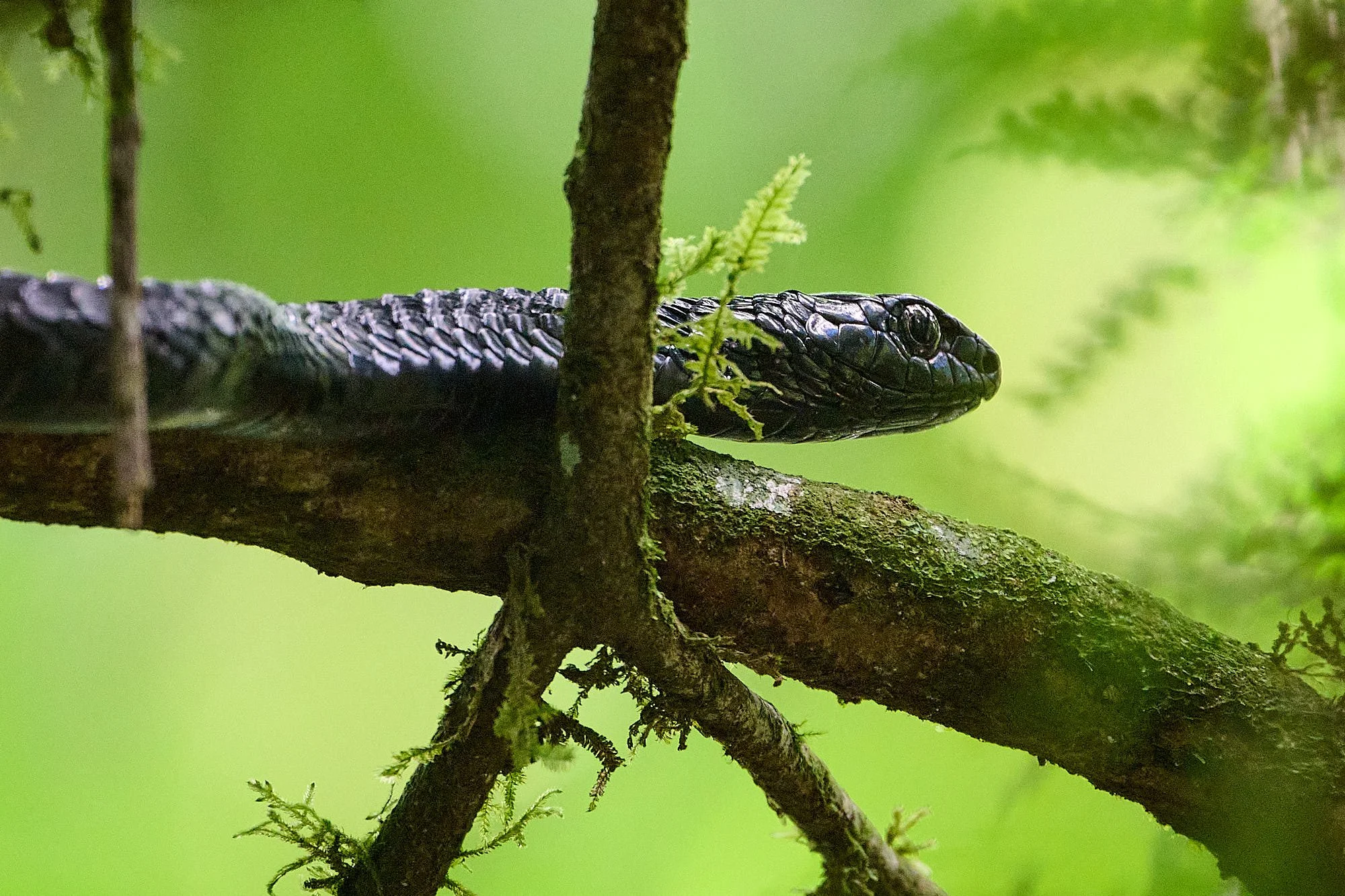
Battersby’s Green Snake
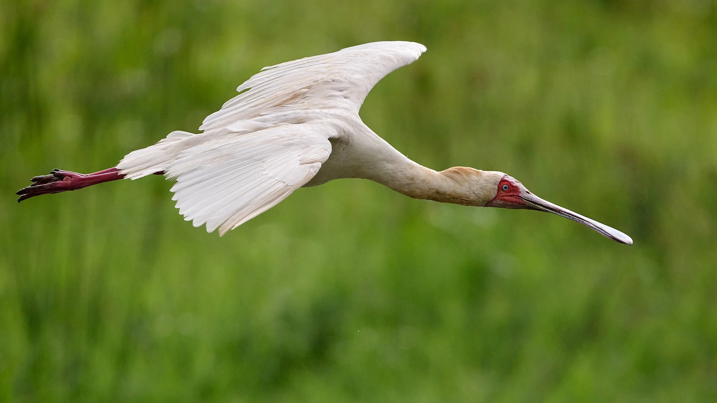
African Spoonbill
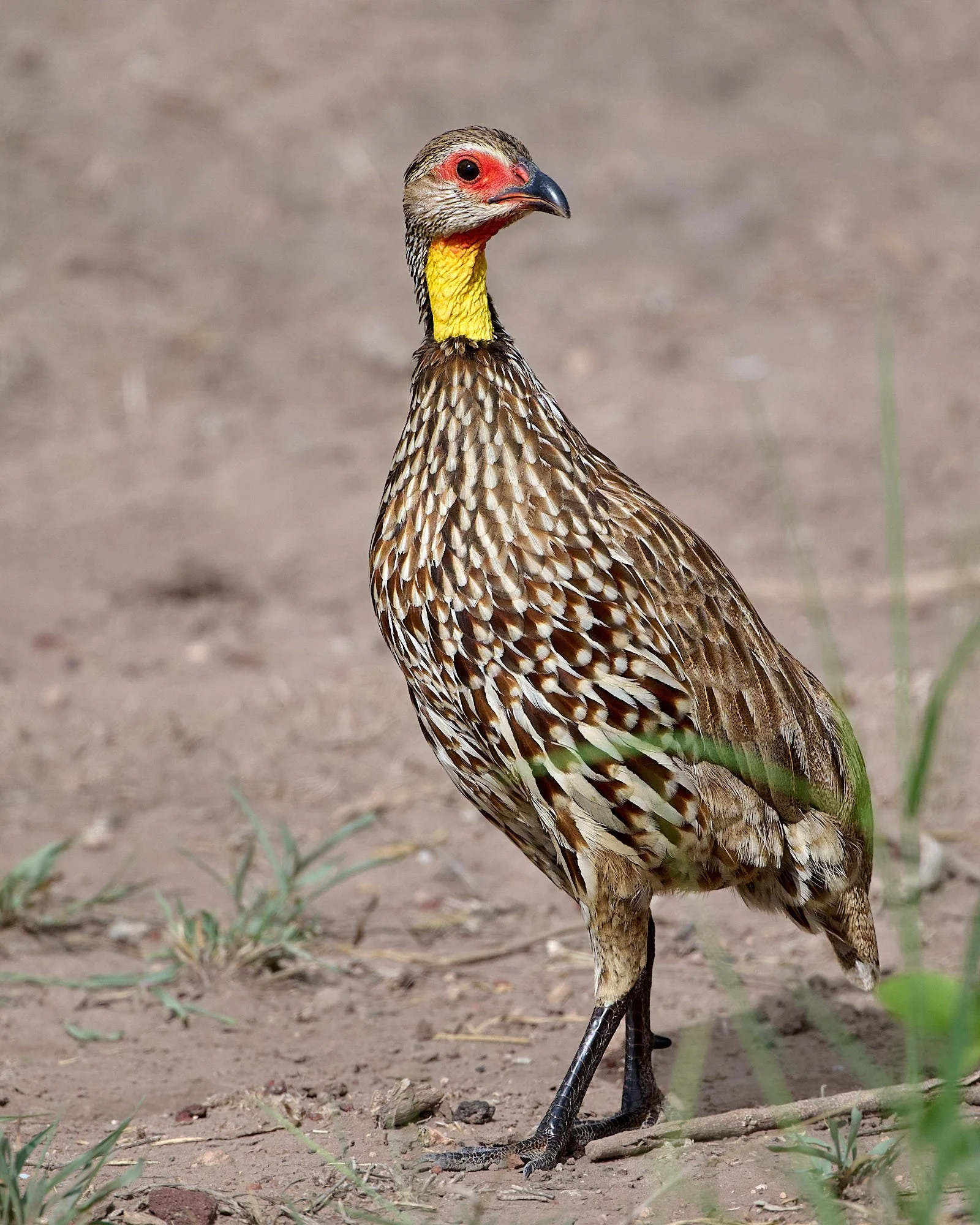
Yellow-necked Spurfowl
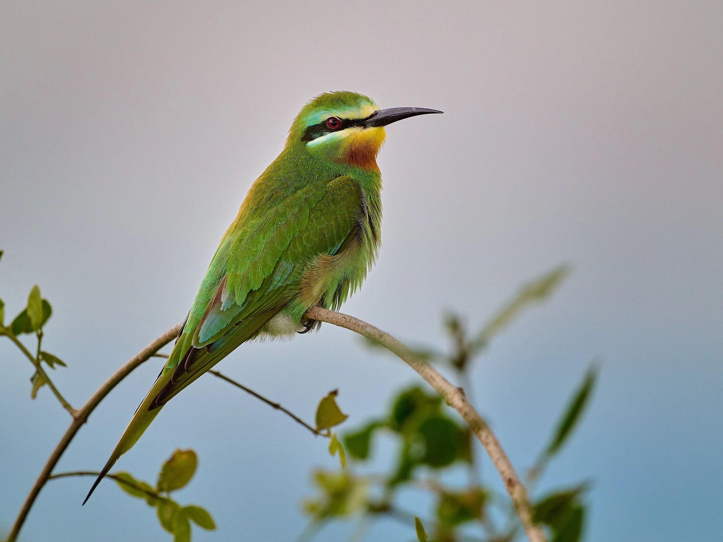
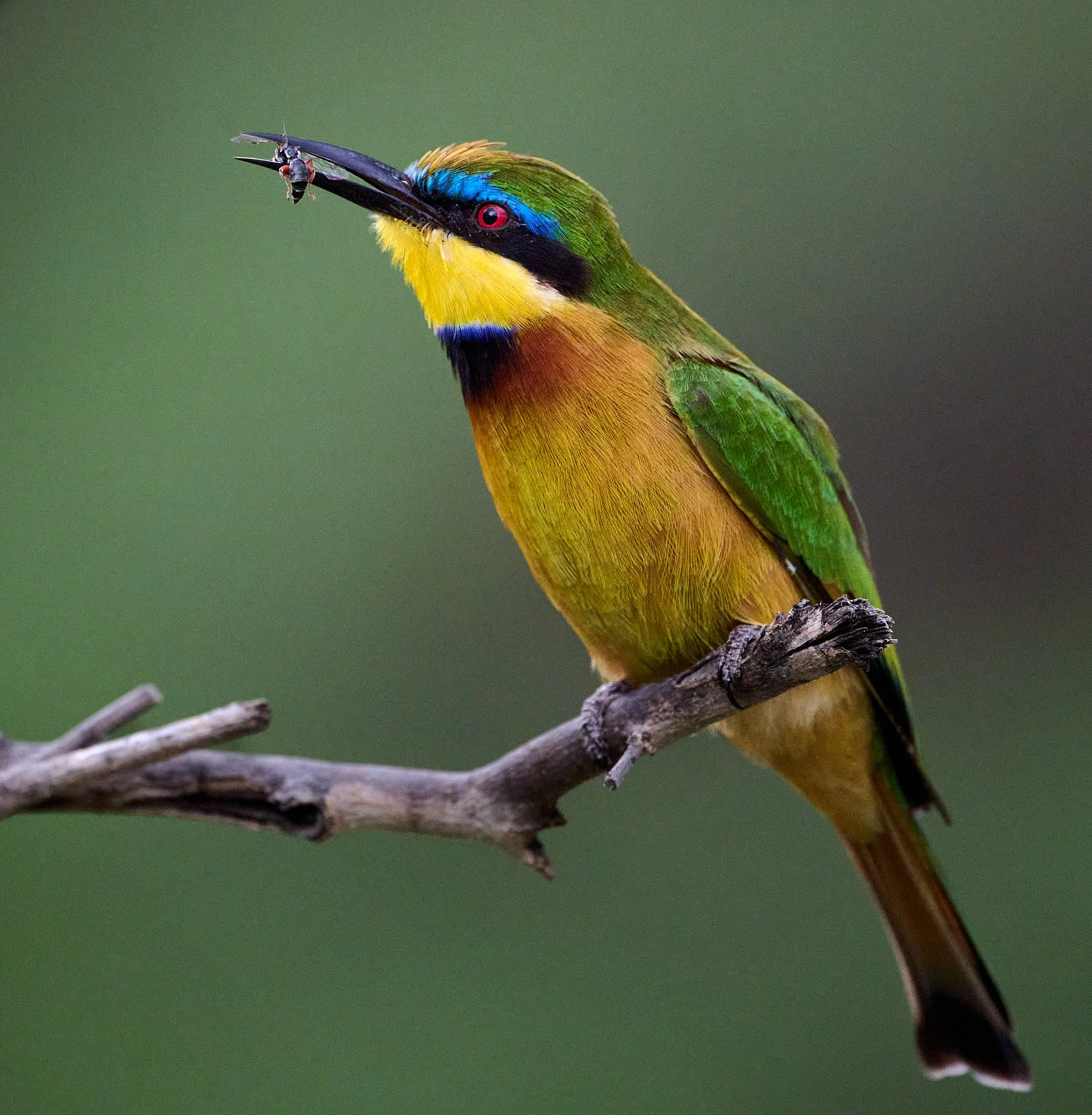
Blue-cheeked Bee-eater
Rosy-patched Bushshrike
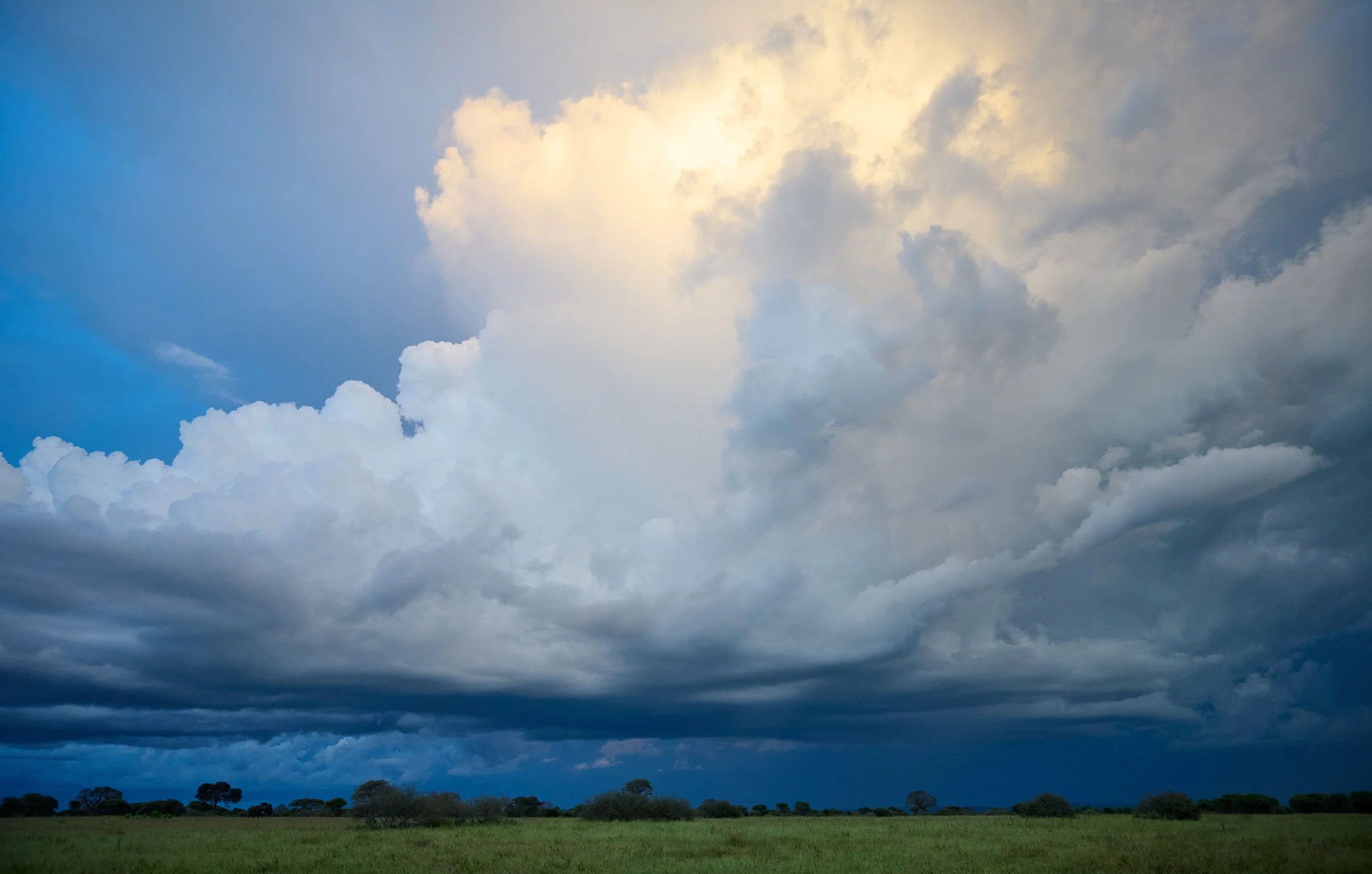
Monsoon on the plains
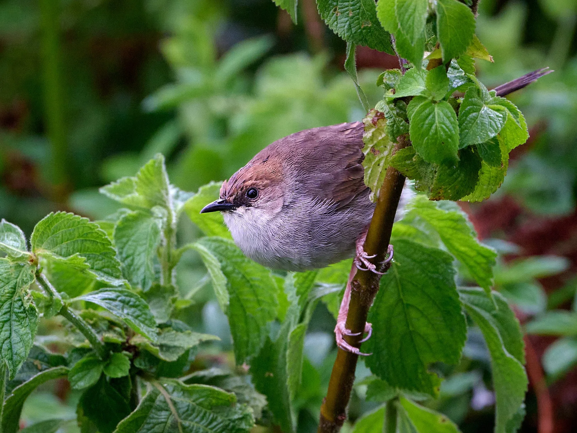
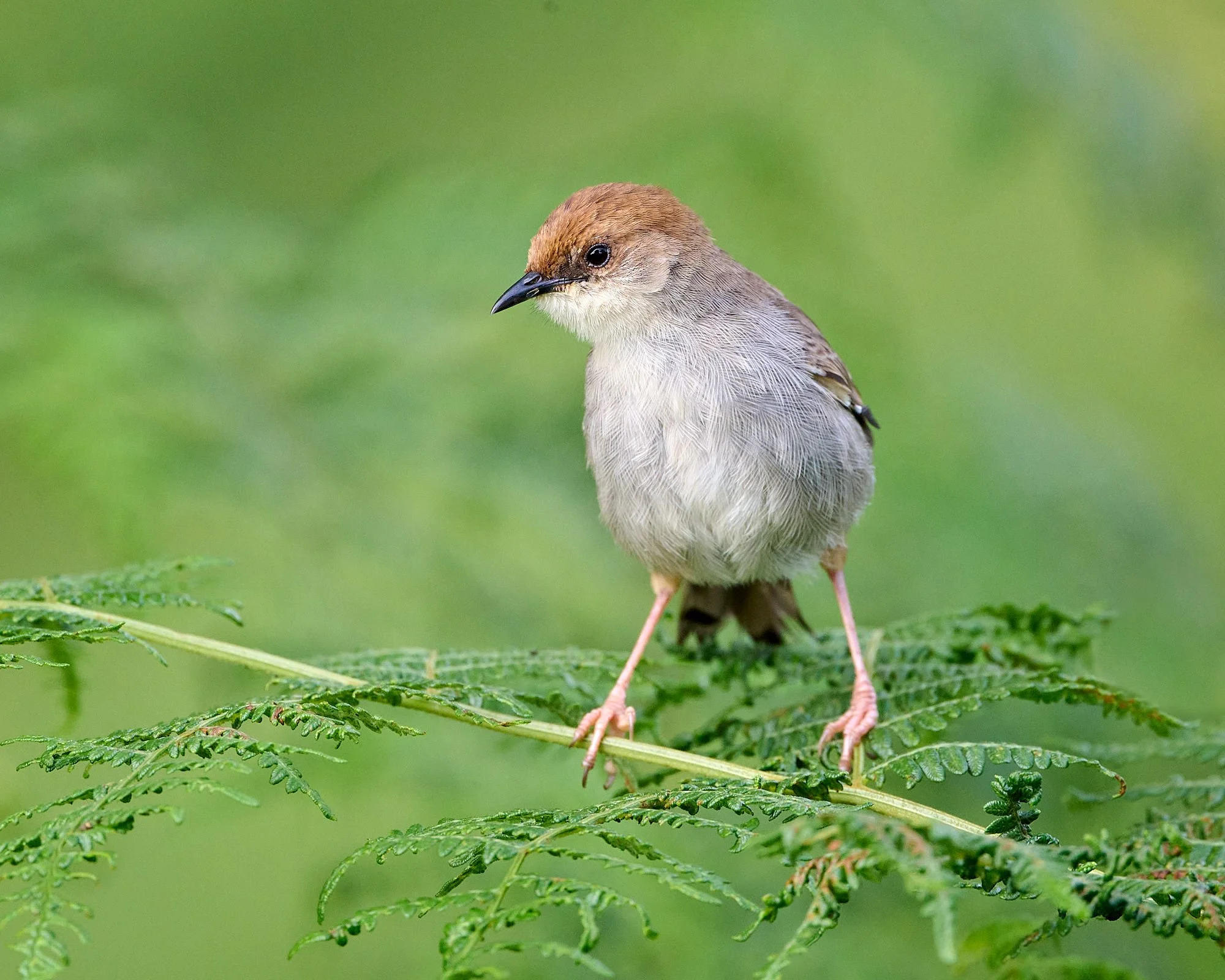
Tawny-flanked Prinia
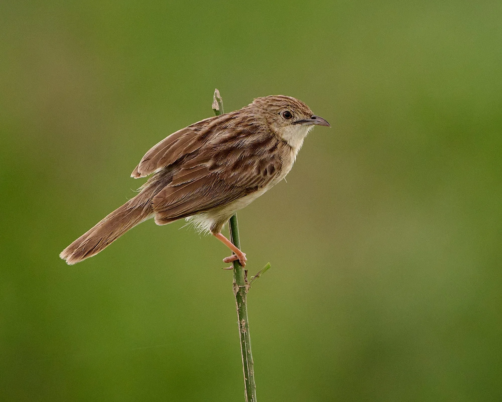
Rattling Cisticola
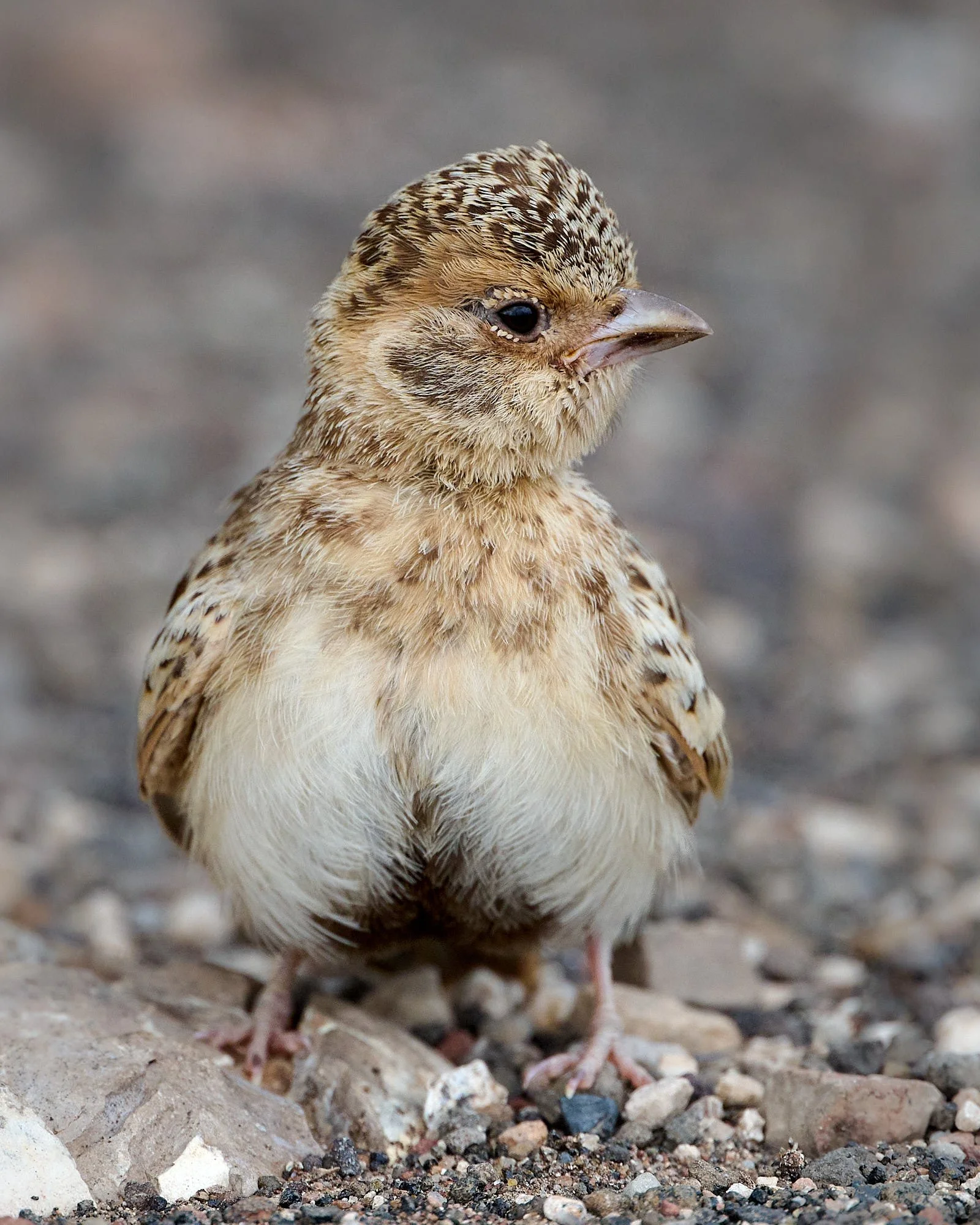
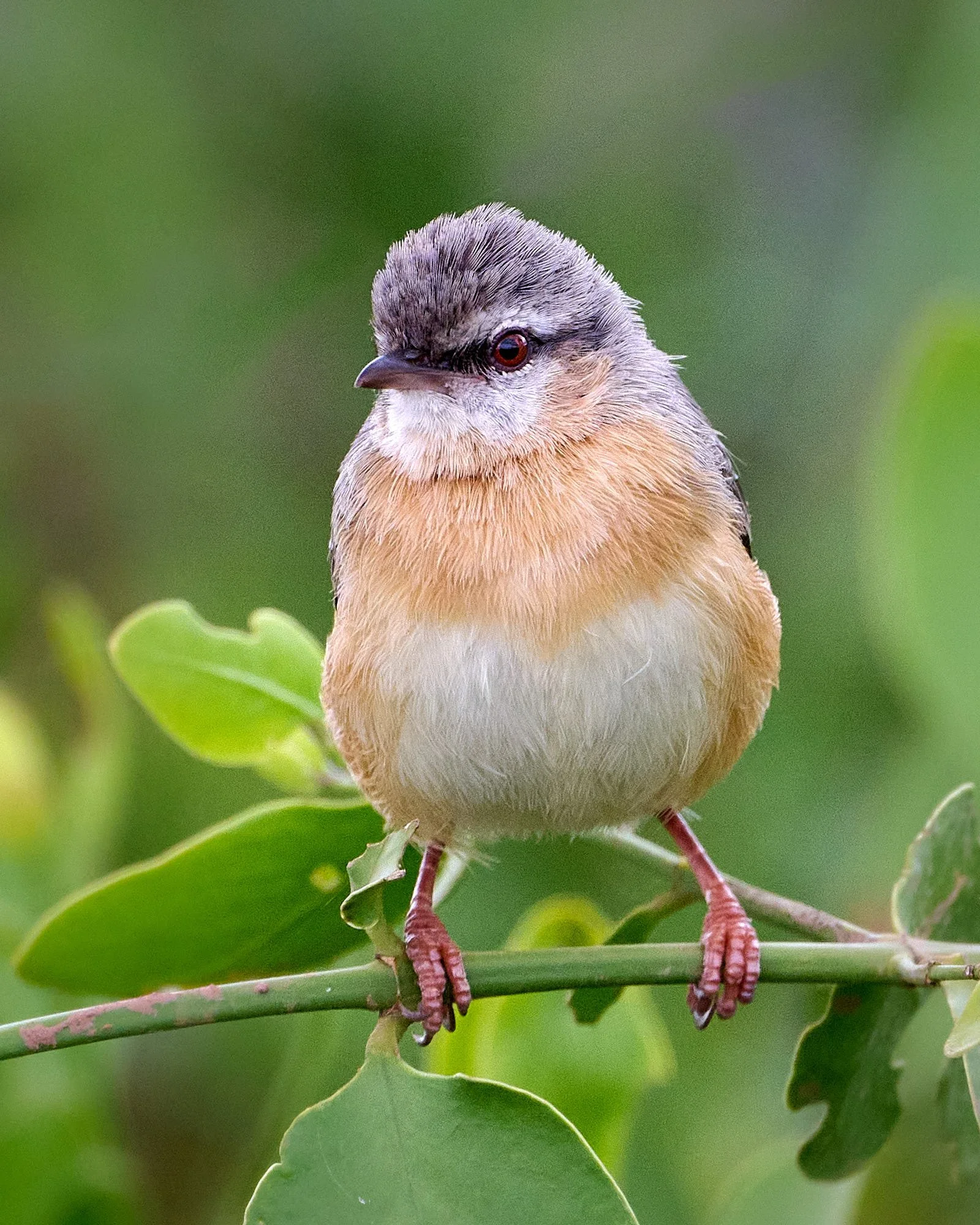
Fischer's Sparrow-Lark, juvenile
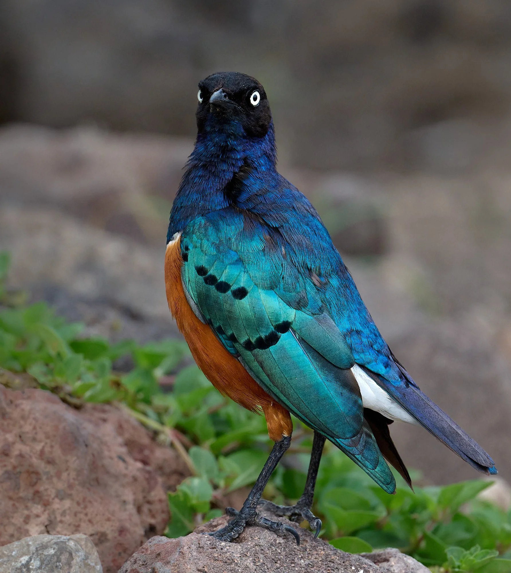
Superb Starling
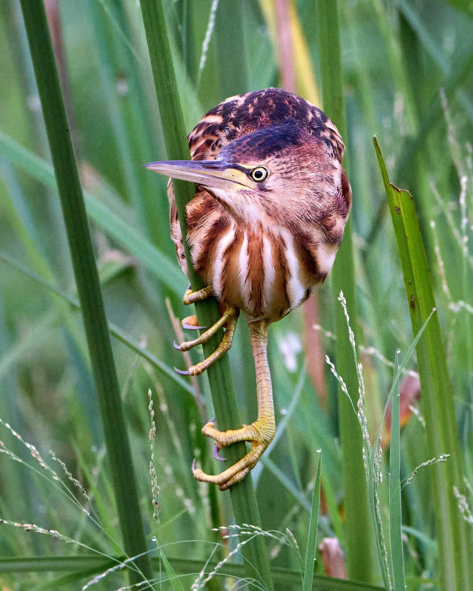
Little Bittern
Southern Red Bishop
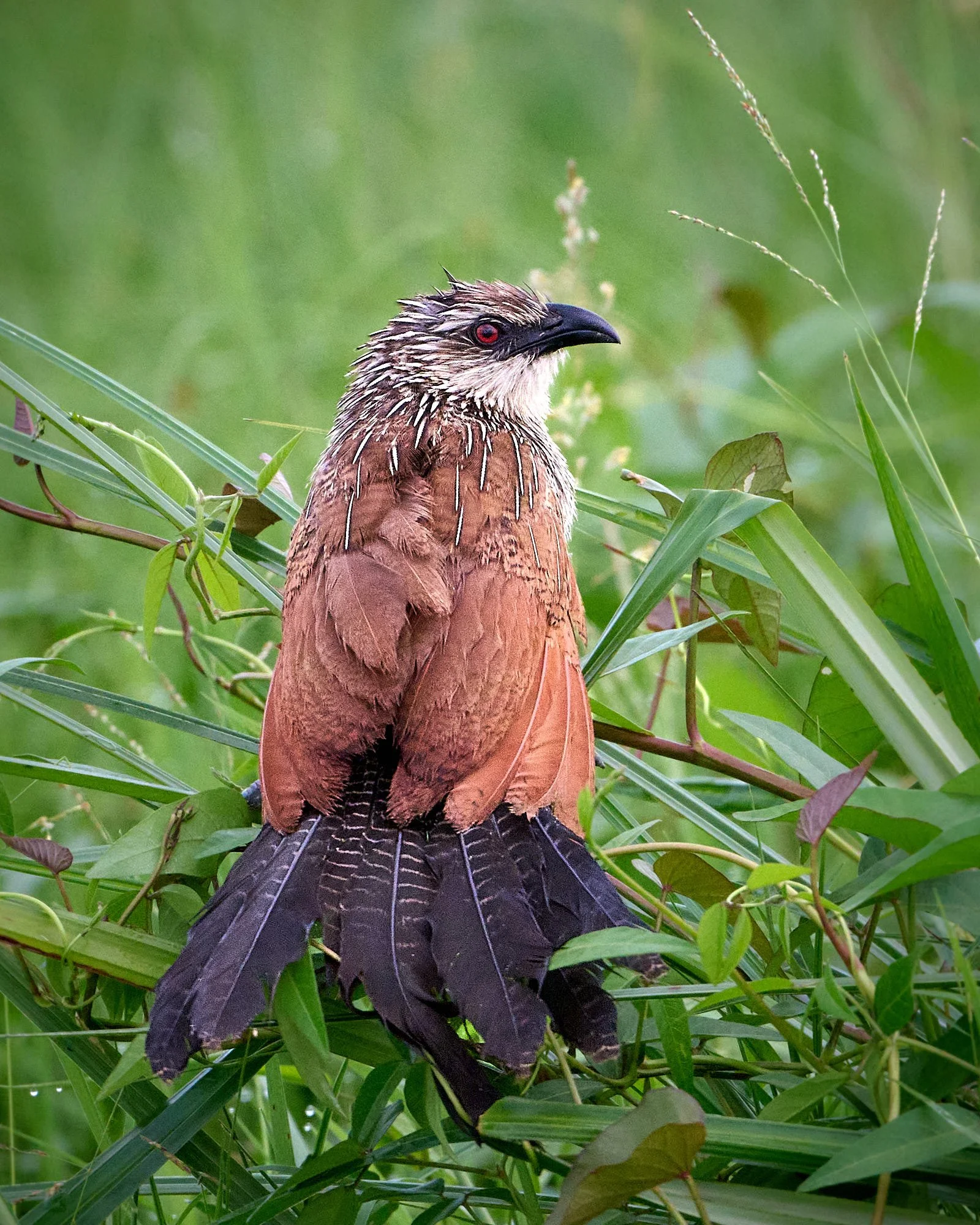
White-browed Coucal
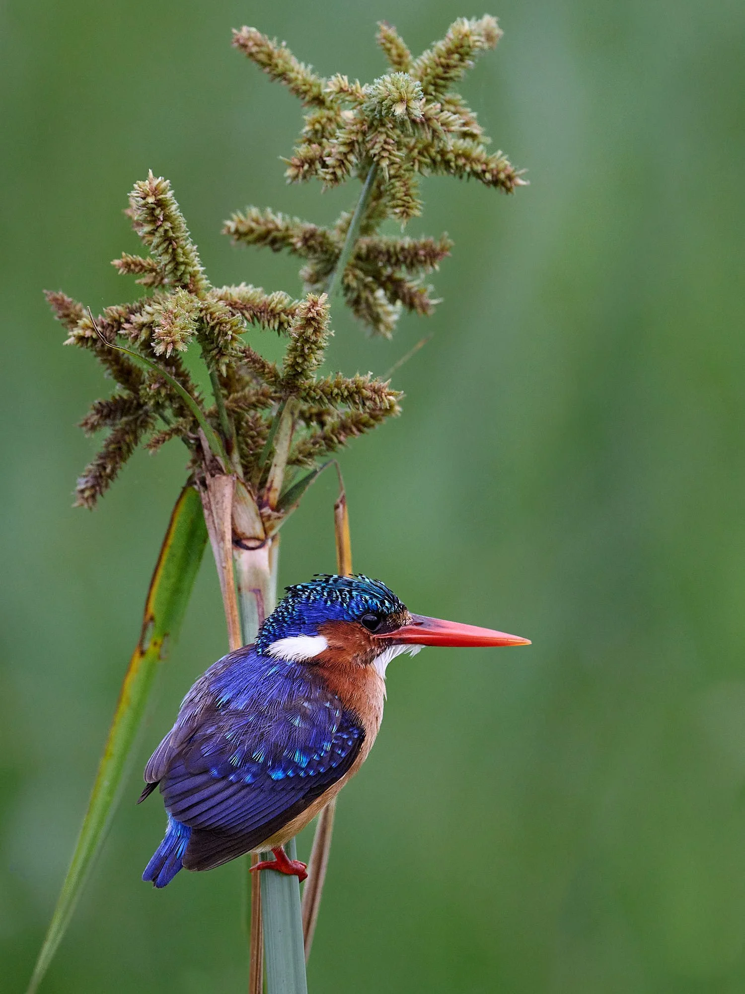
Malachite Kingfisher
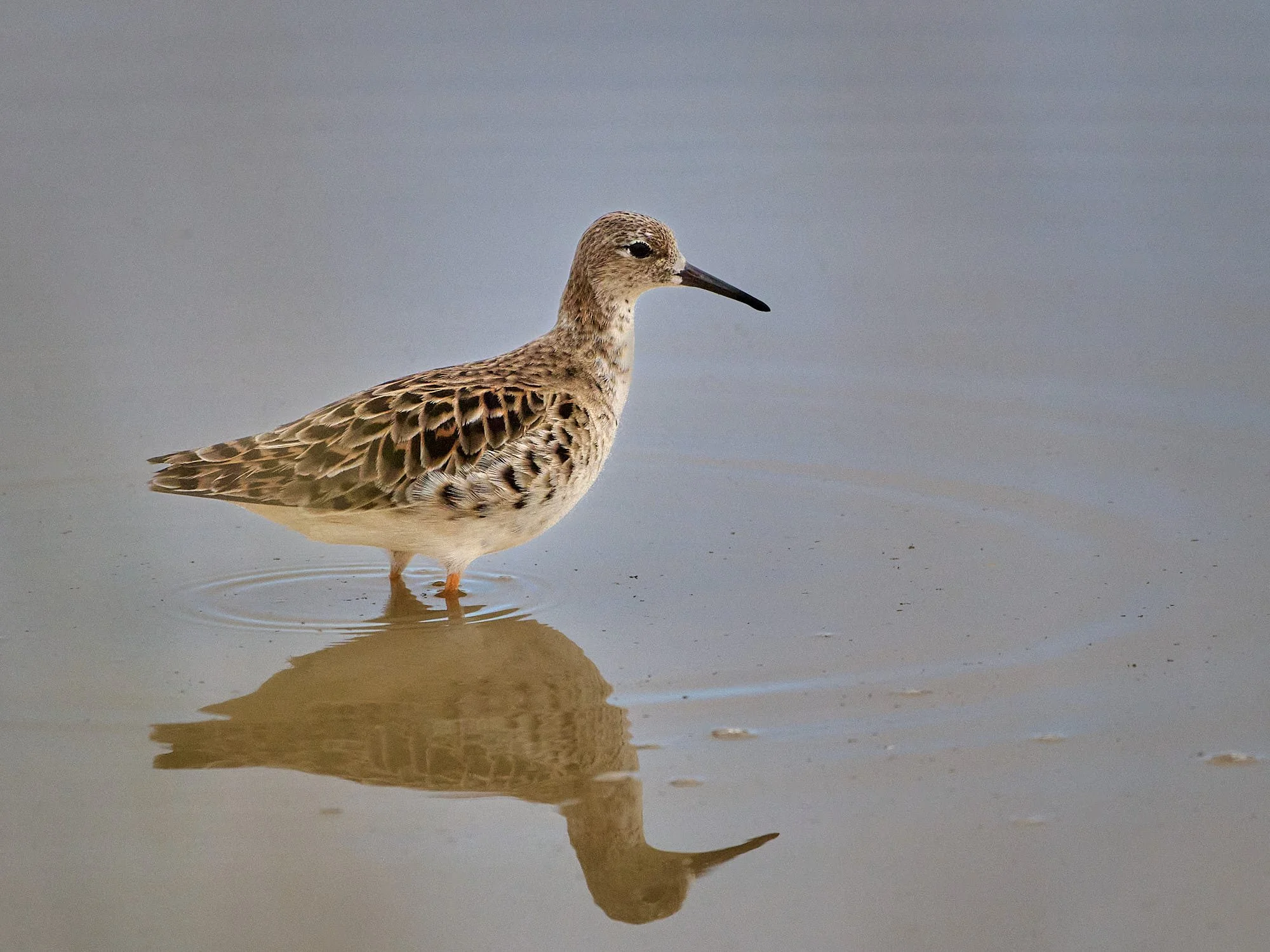
Ruff, female
Spotted Thick-knee
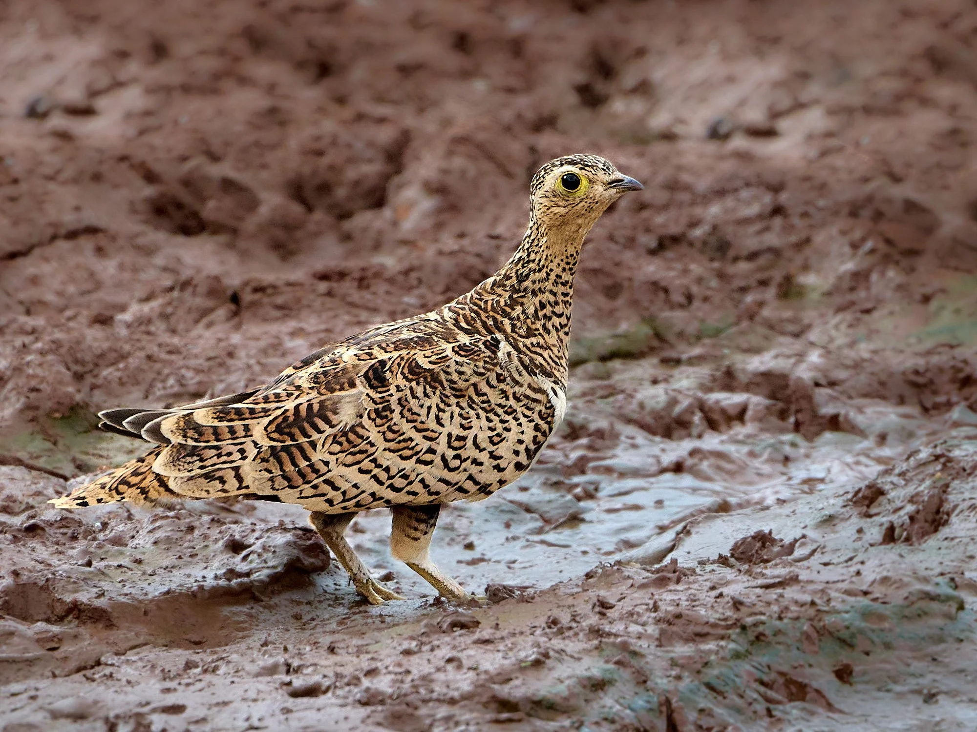
Black-faced Sandgrouse, female
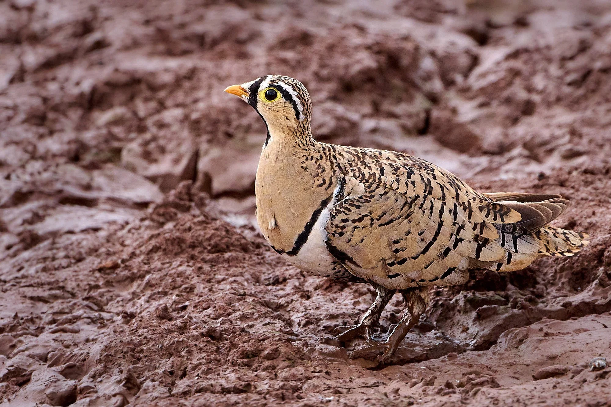
Black-faced Sandgrouse, male
Amboseli Lake
Castle Lodge, Mount Kenya
Nestled in the misty slopes at the foot of Mount Kenya (17,057 feet), Castle Forest Lodge is a lovely refuge from equatorial heat. It was built in 1910 and renovated in 2000, We birded near the lodge and along montane forest paths.
The main house at Castle Forest Lodge
Kandt's Waxbill
Black-throated Apalis
Cinnamon-chested Bee-eater
Black Forest Cobra

Streaky Seedeater
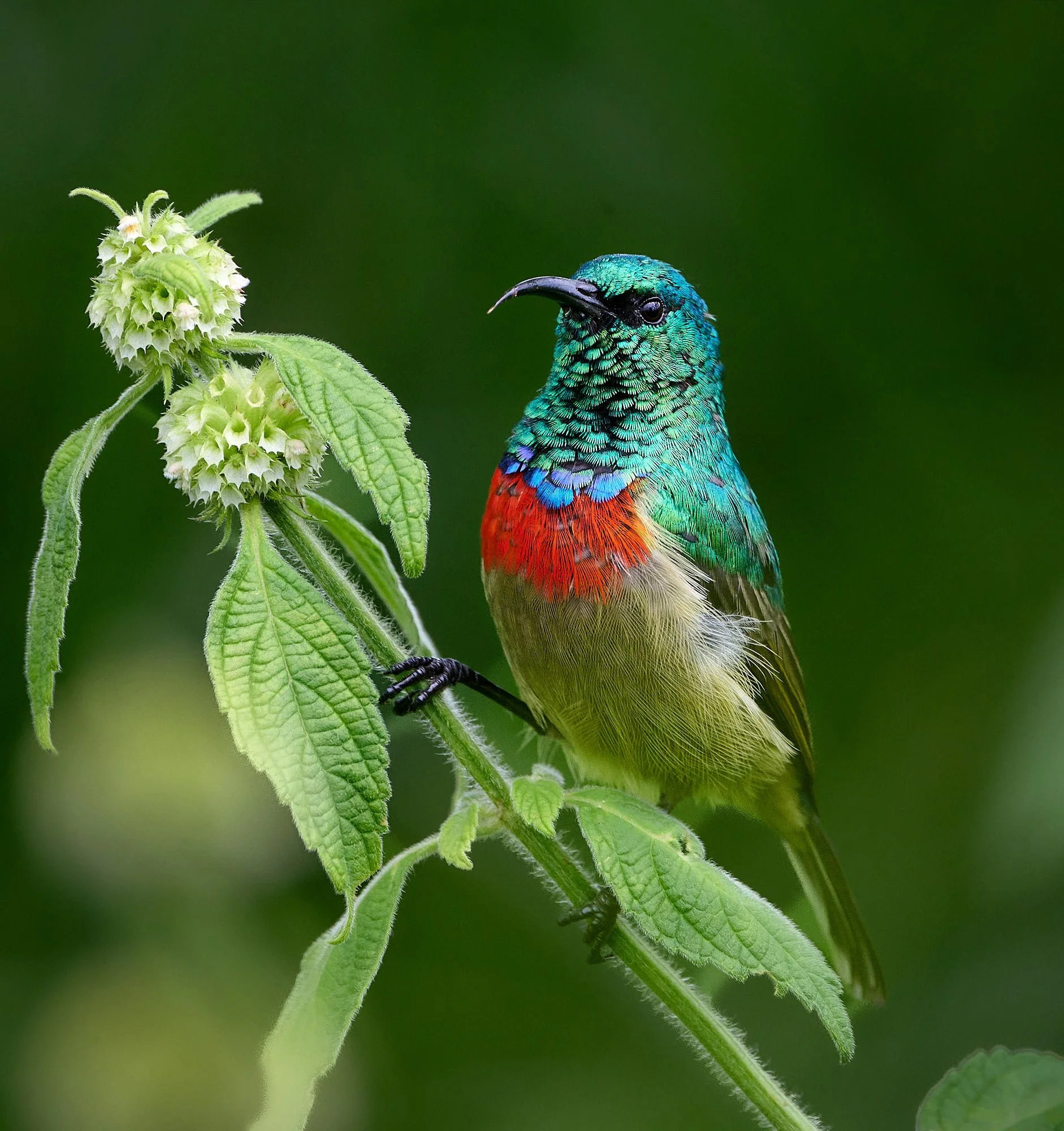
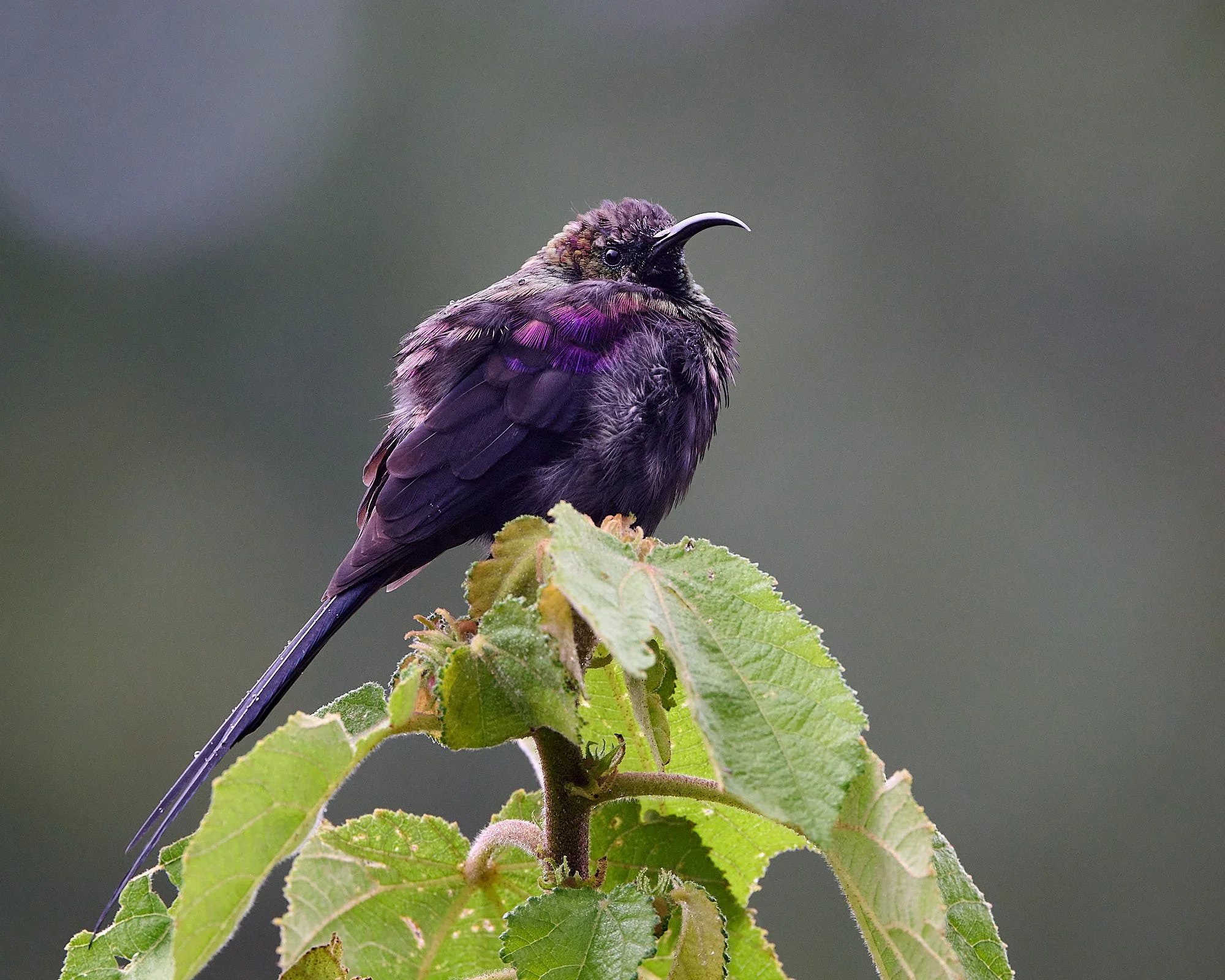
Eastern Double-collared Sunbird
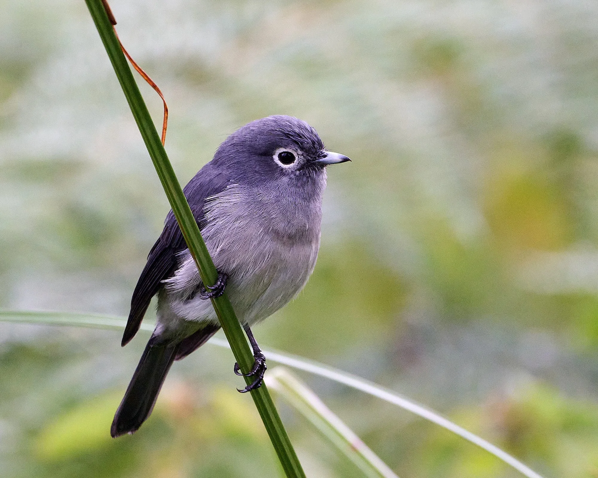
White-eyed Slaty Flycatcher
Hunter's Cisticola
Bronze Sunbird
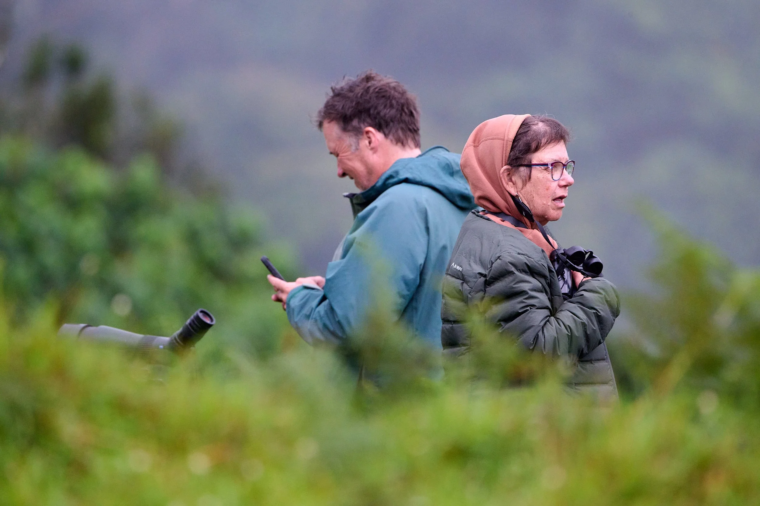
Two birders
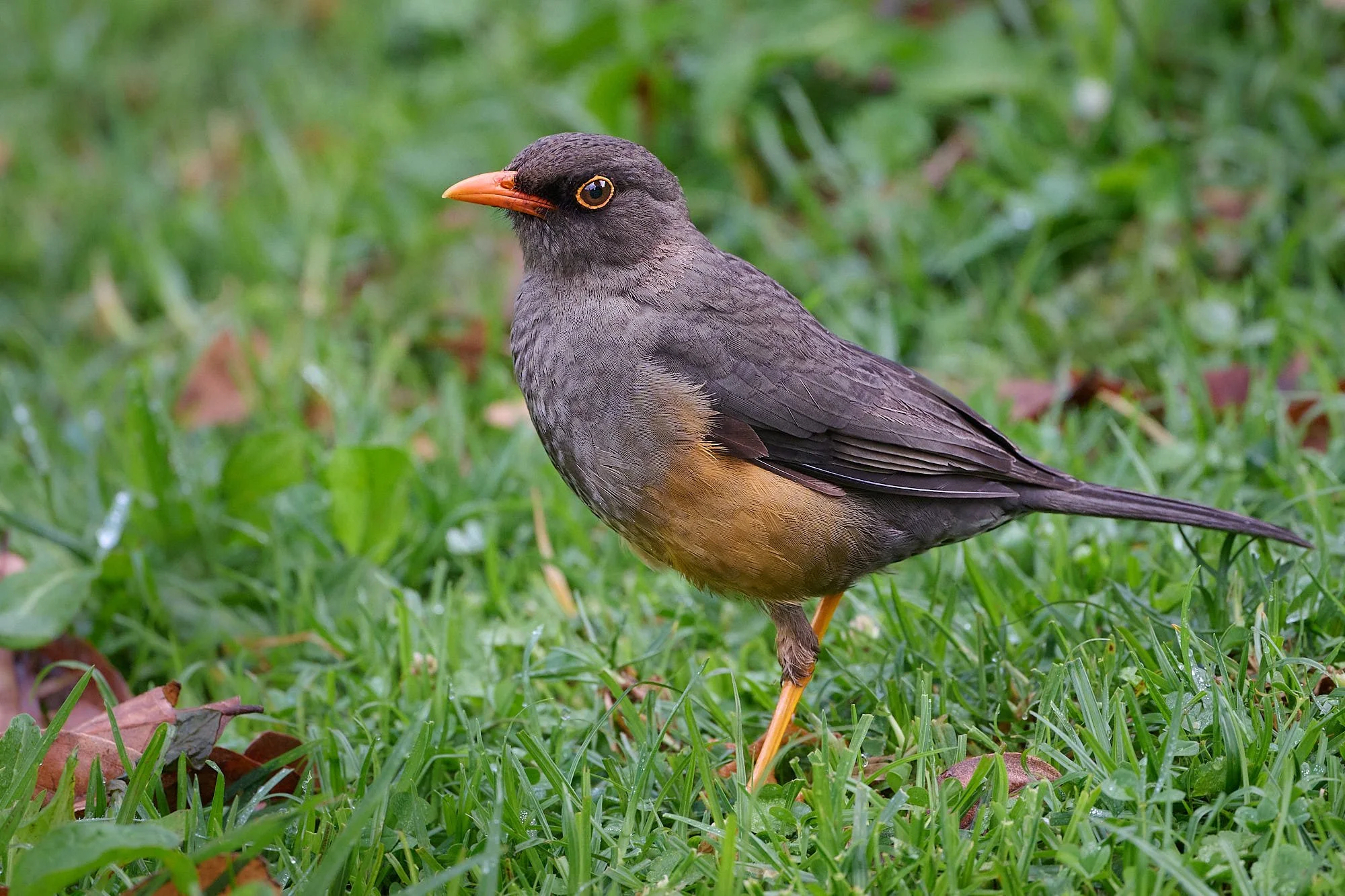
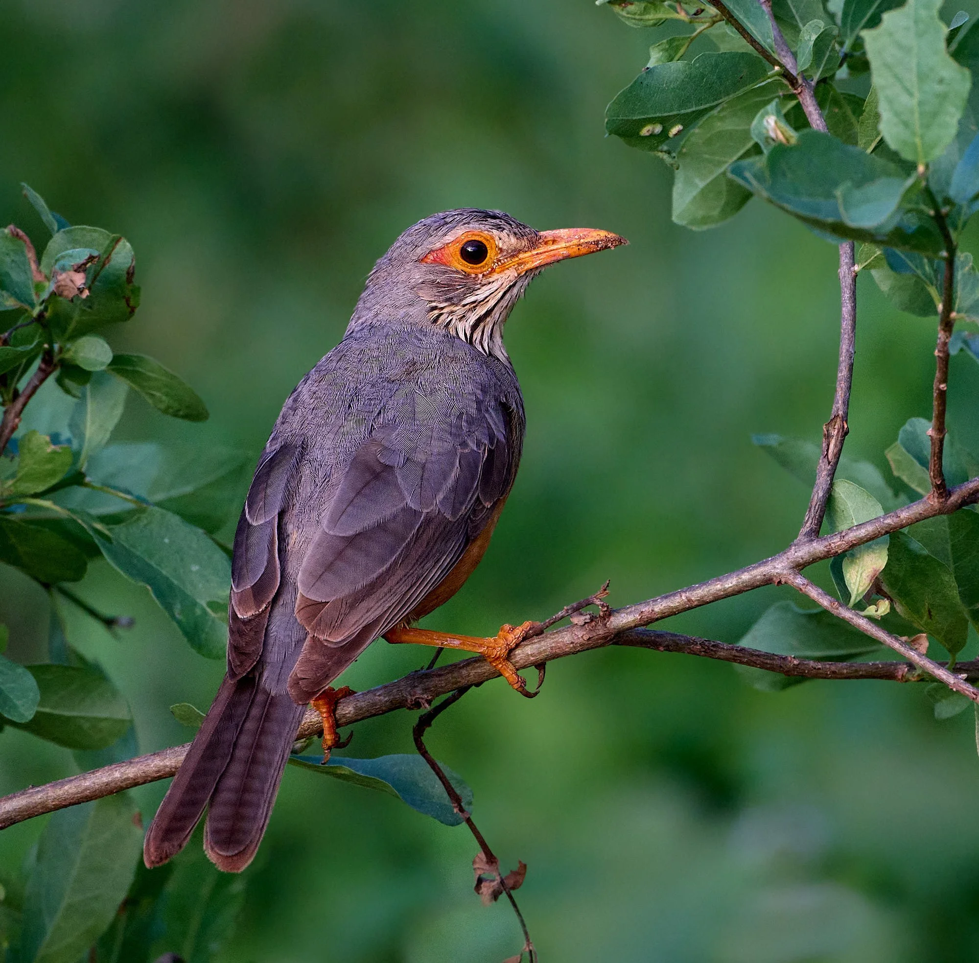
Abyssinian Thrush
Hunter's Cisticola
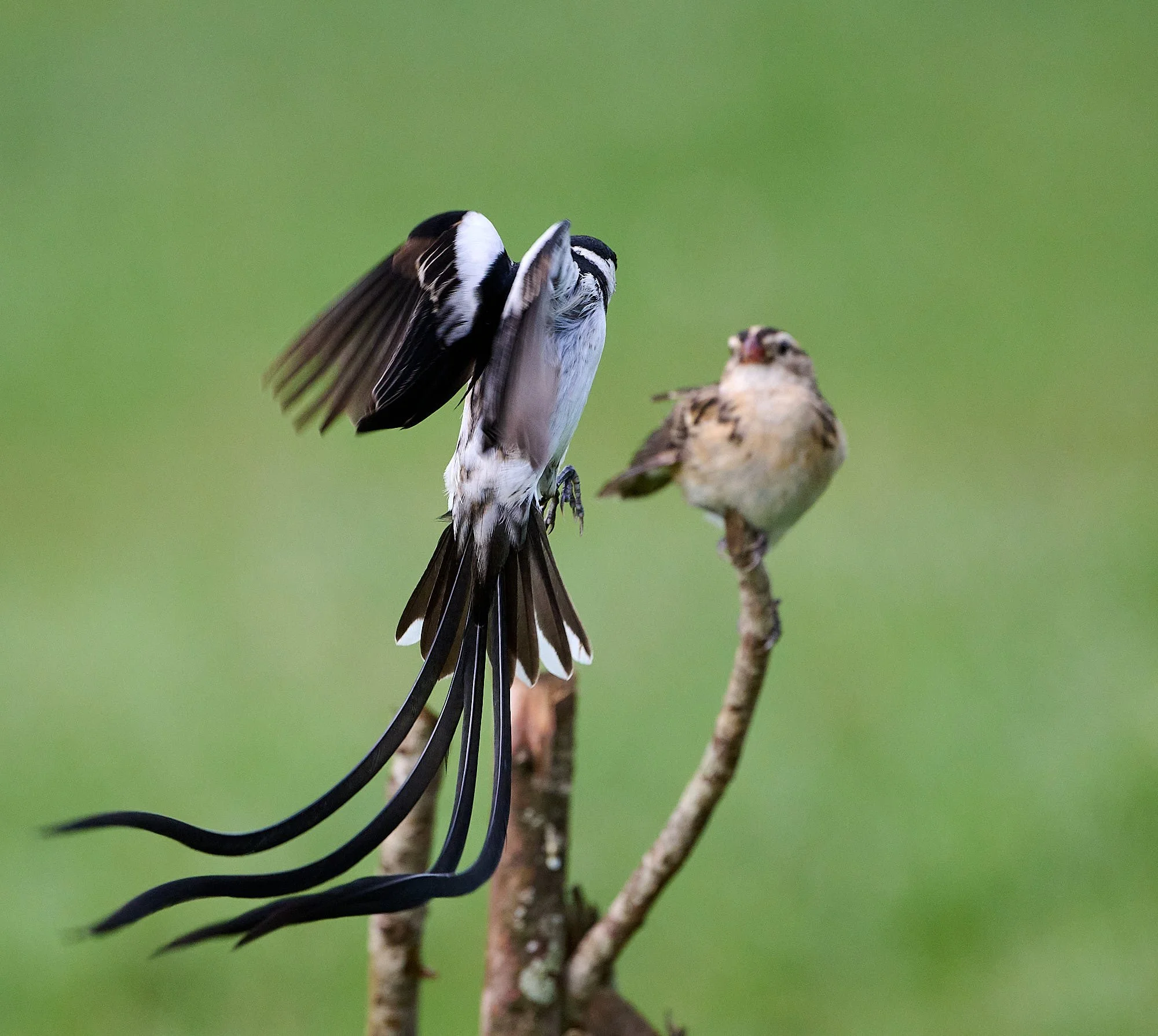
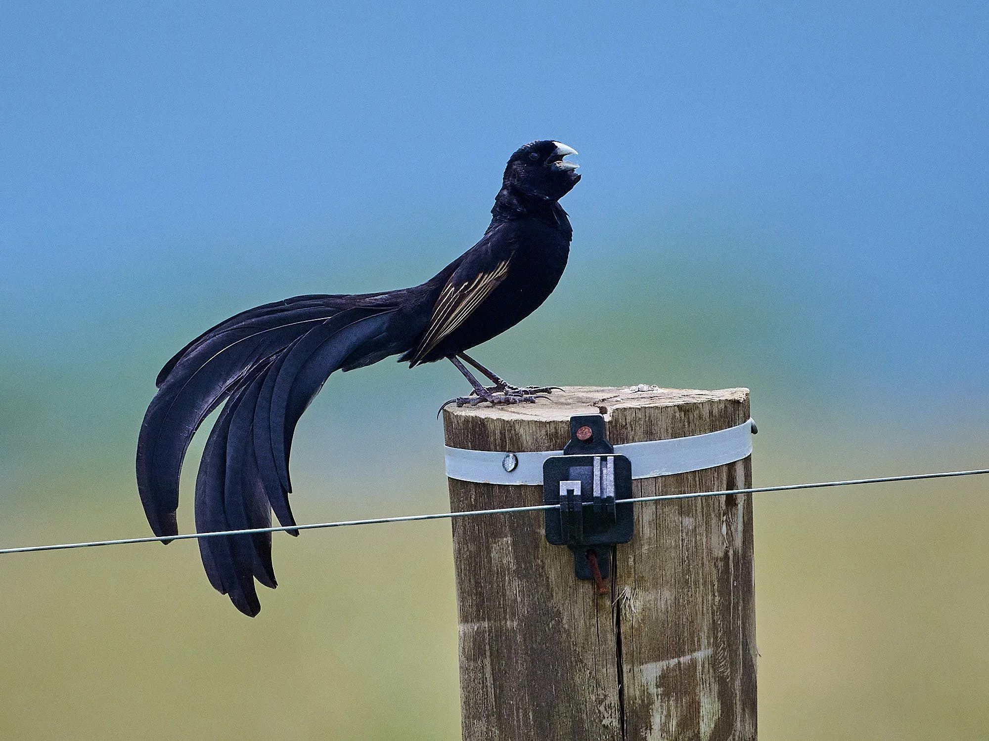
Pin-tailed Whydah, male (left) displaying to female (right)
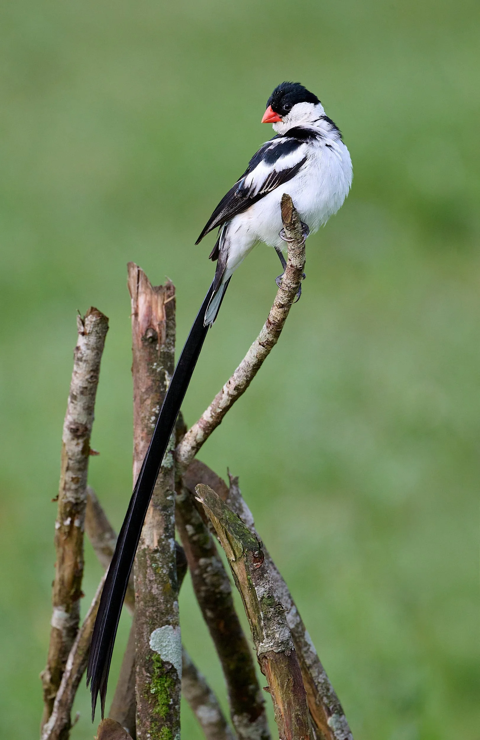
Pin-tailed Whydah, male
Shaba and Buffalo Springs Reserves
Near Isiolo city in northern Kenya, there are three reserves: Samburu, Shaba and Buffalo Springs. These protected areas consist of rugged mountains, “Acacia” woodland, plains of old lava flows, and contain olivine basalt soils. The Ewaso Nyiro River, with its associated riverine vegetation, traverses the region. There are isolated springs. Buffalo Springs is named after an oasis of clear water at its western end.
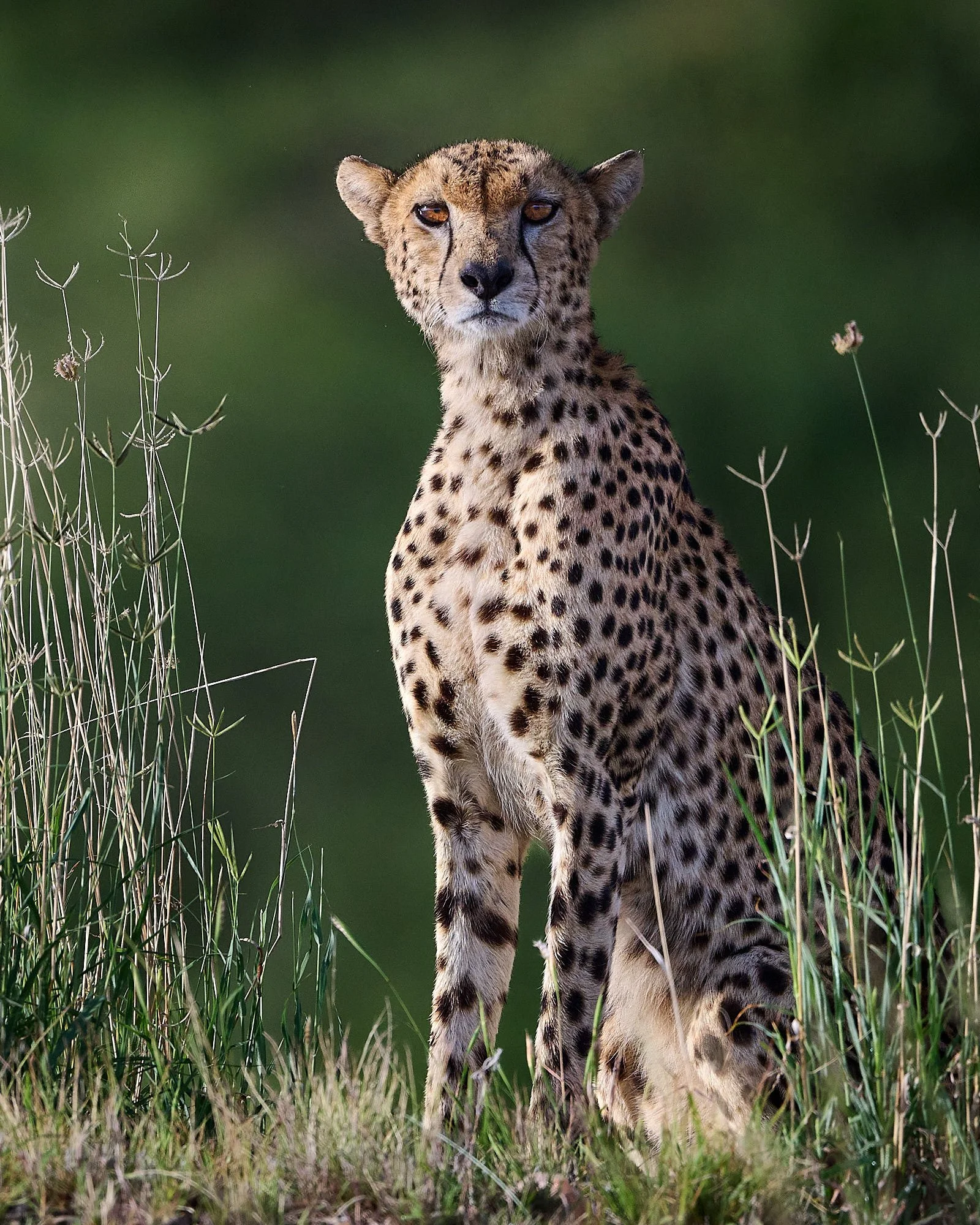
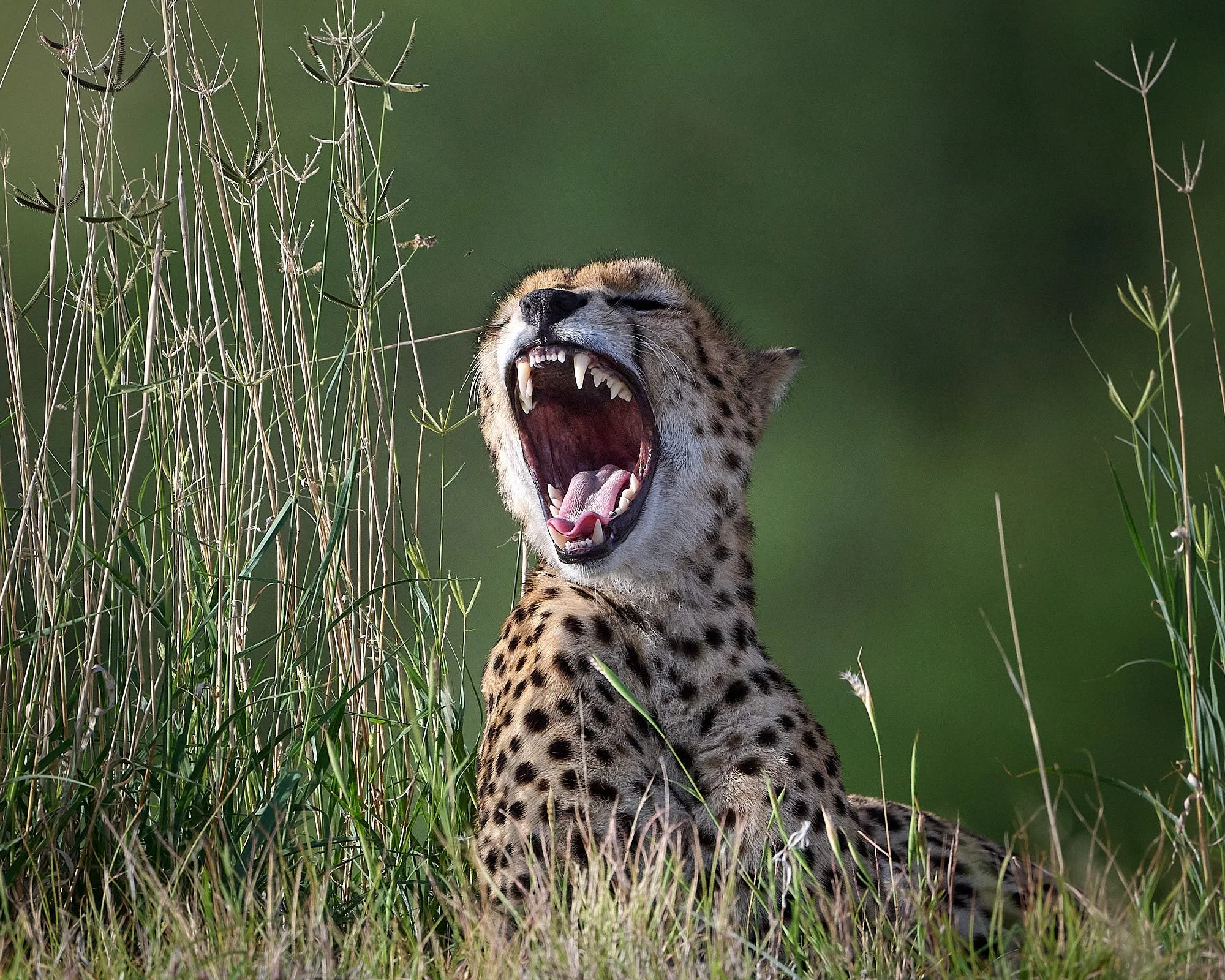
Cheetah
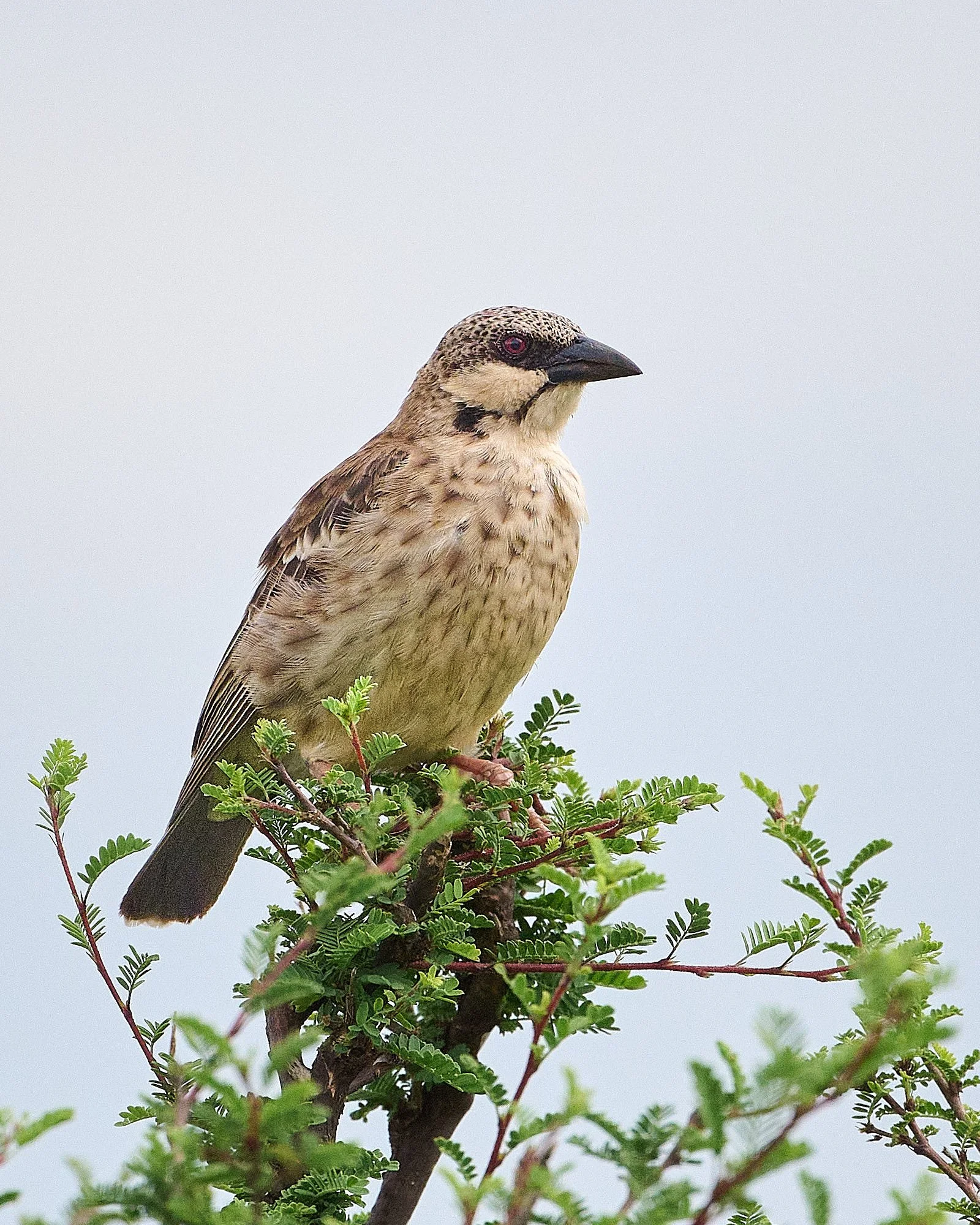
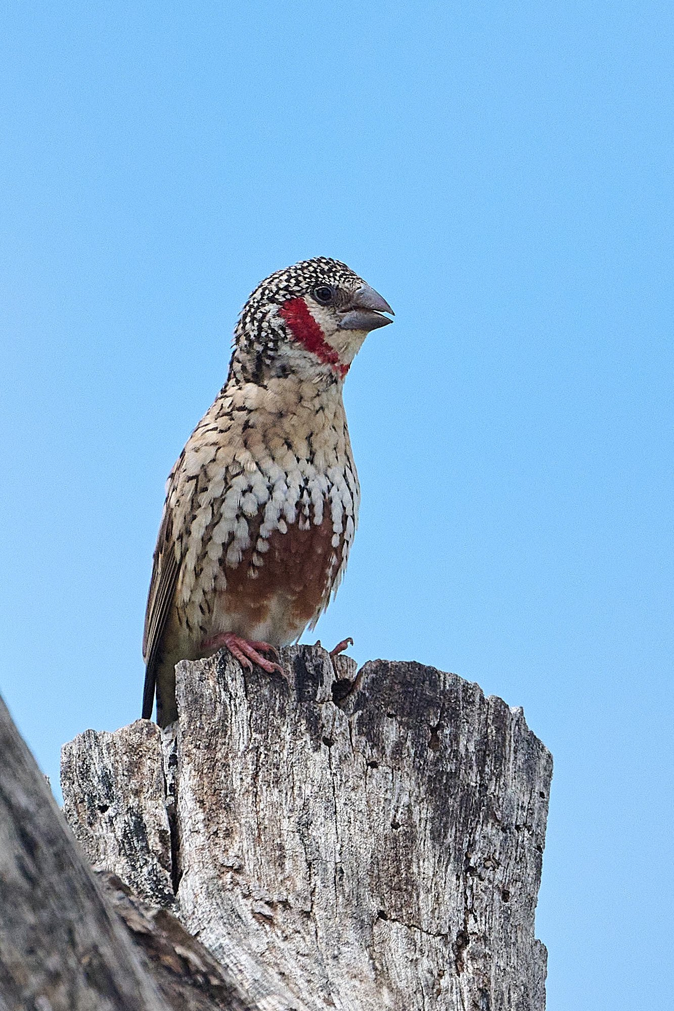
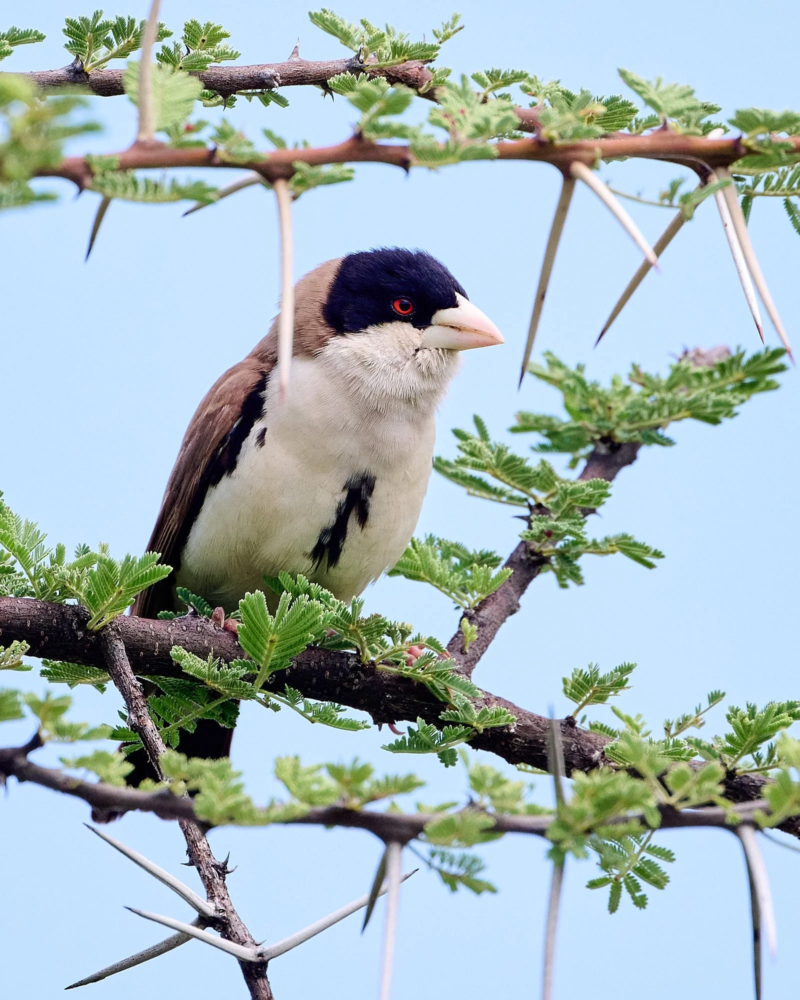
Donaldson Smith's Sparrow-weaver
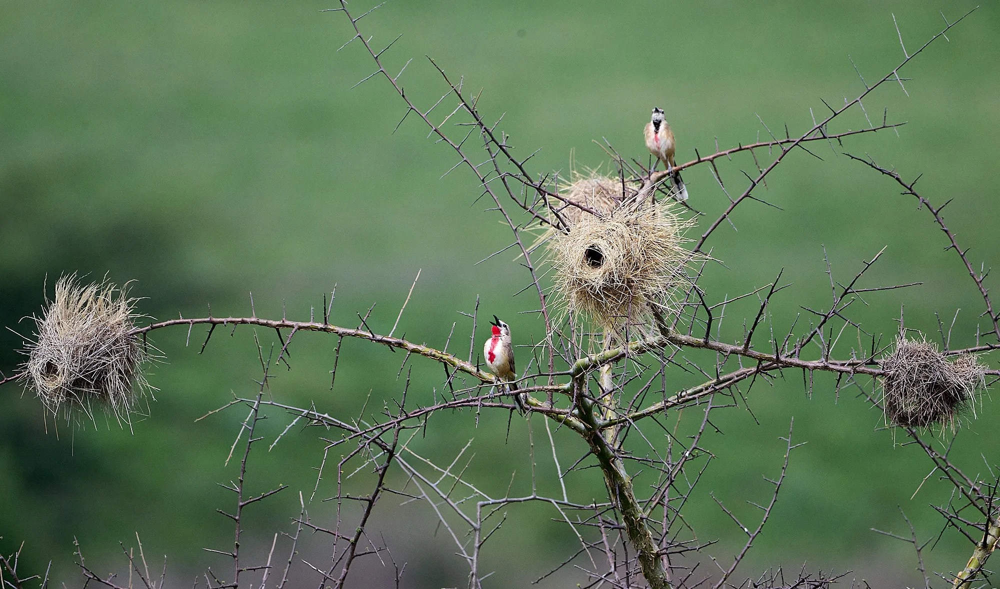
Rosy-patched Bushshrikes singing among Donaldson Smith's Sparrow-weaver nests
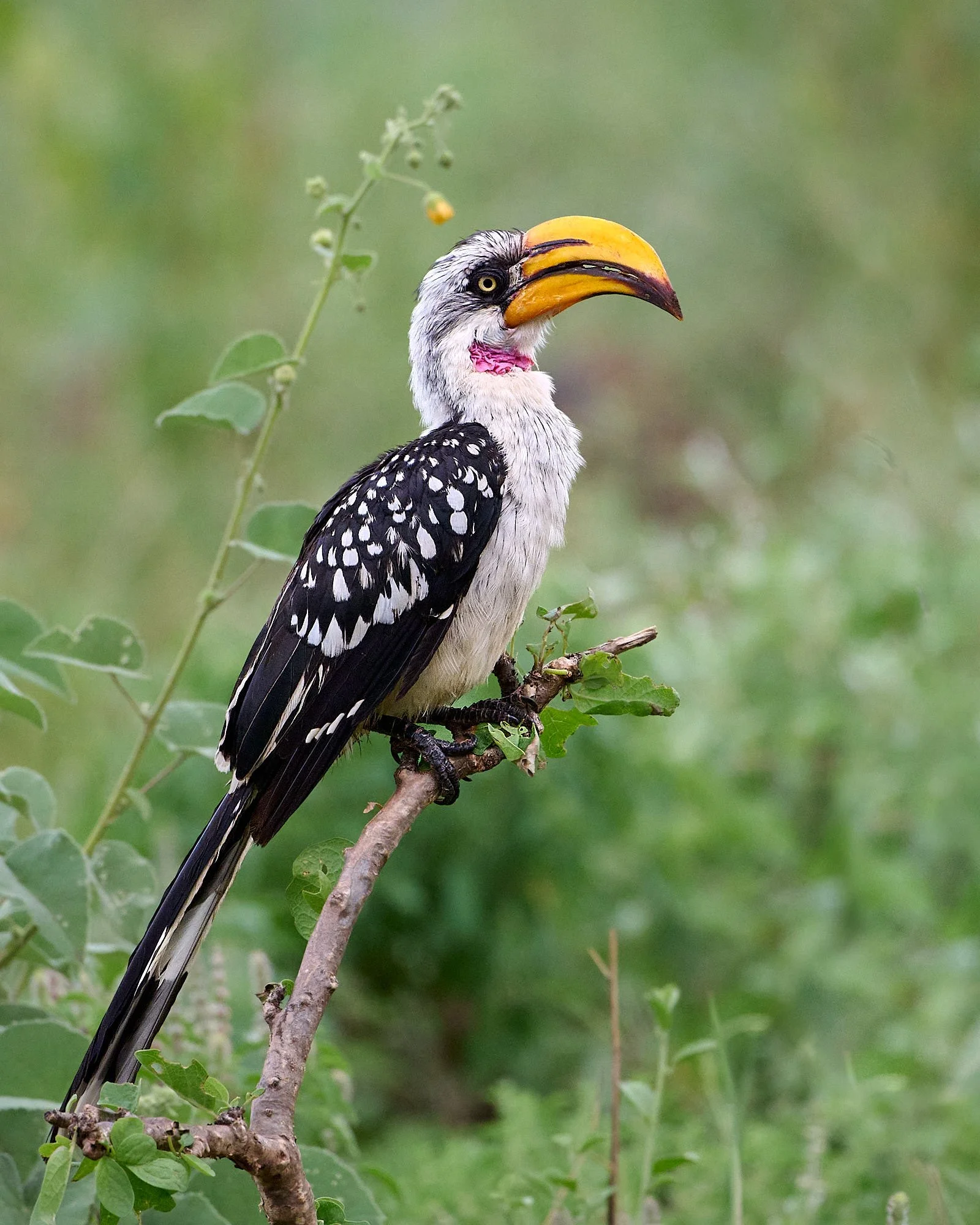
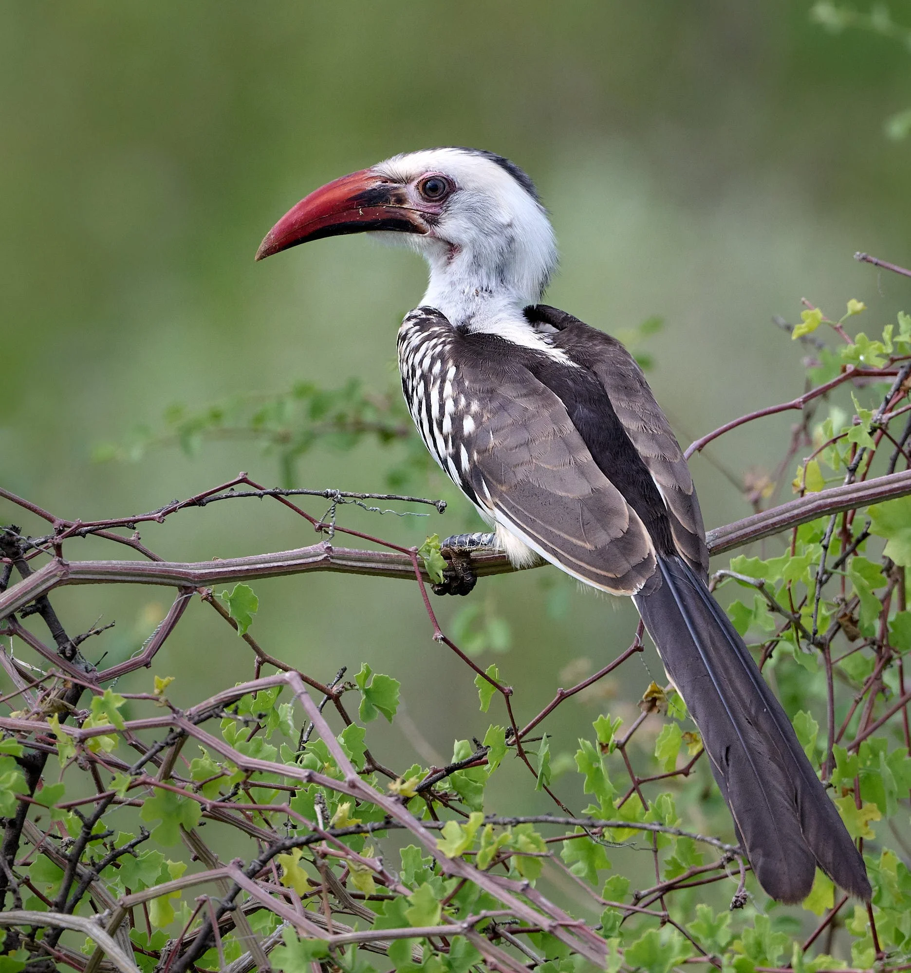
Eastern Yellow-billed Hornbill
Smile for the camera
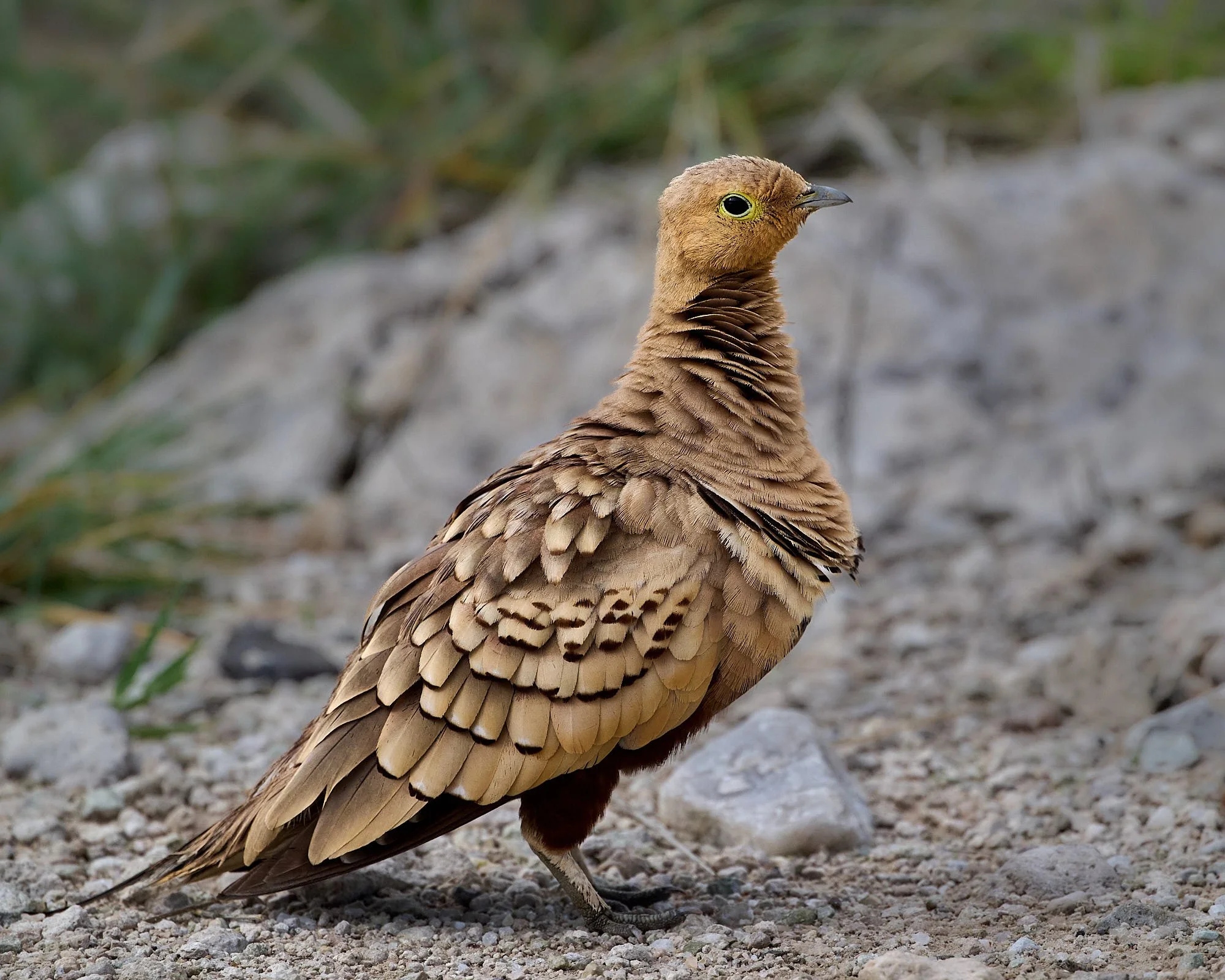
Chestnut-bellied Sandgrouse
Northern Giraffe, subspecies reticulata
Northern Red-billed Hornbill
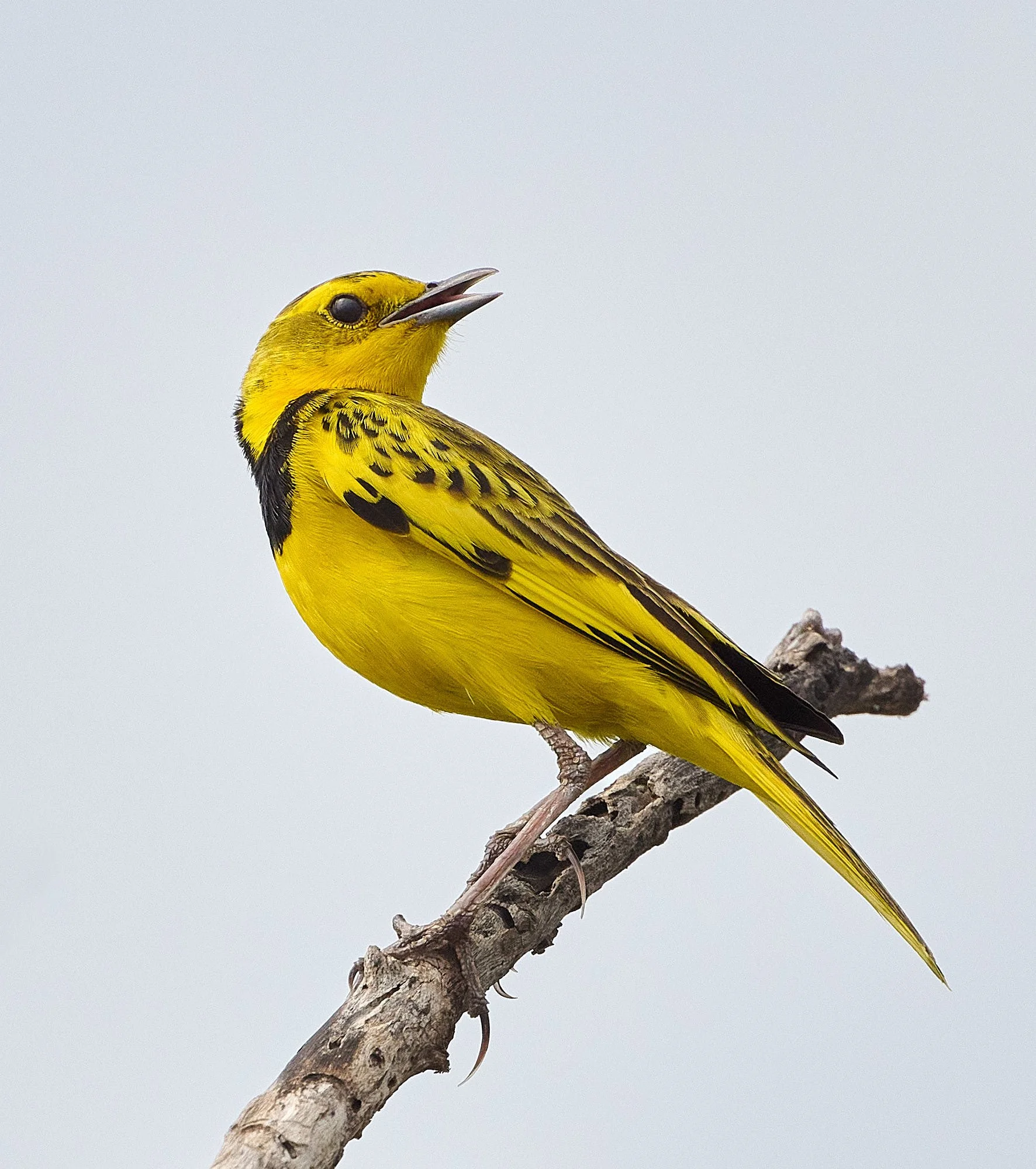
Golden Pipit
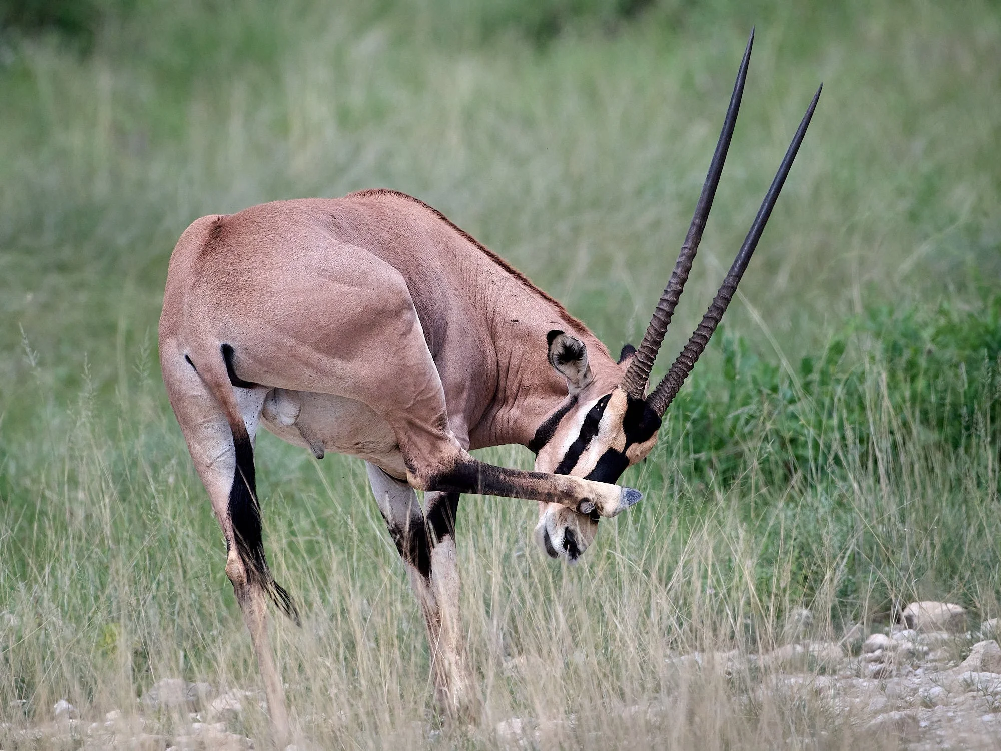
Beisa Oryx
Black-capped Social-weaver
Sun shades
Black-bellied Bustard, male juvenile
Black-bellied Bustard, male juvenile

Pied Cuckoo
Yellow-necked Spurfowl
White-throated Bee-eater
Chestnut Sparrow and Red-billed Quelea
African Bare-eyed Thrush
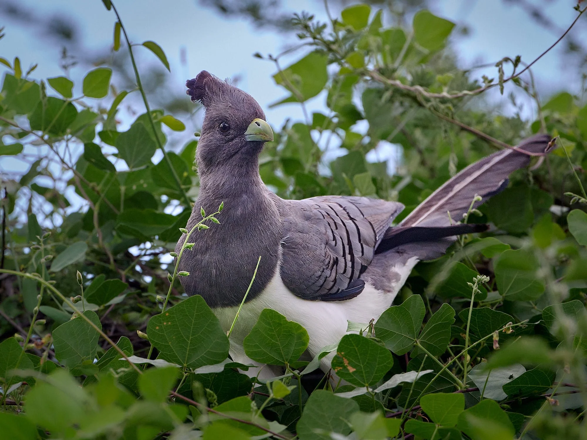
White-bellied Go-away-bird
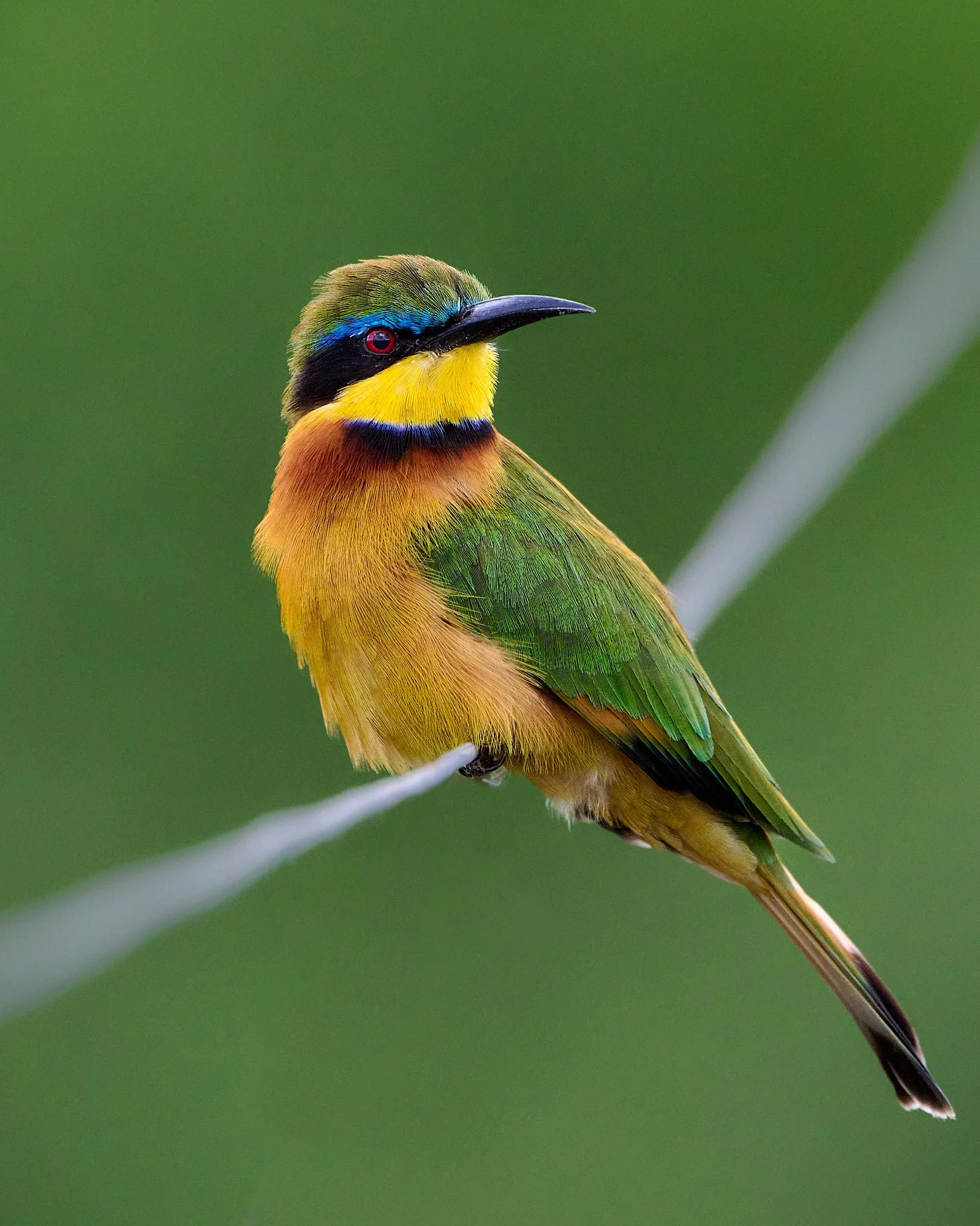
Little Bee-eater
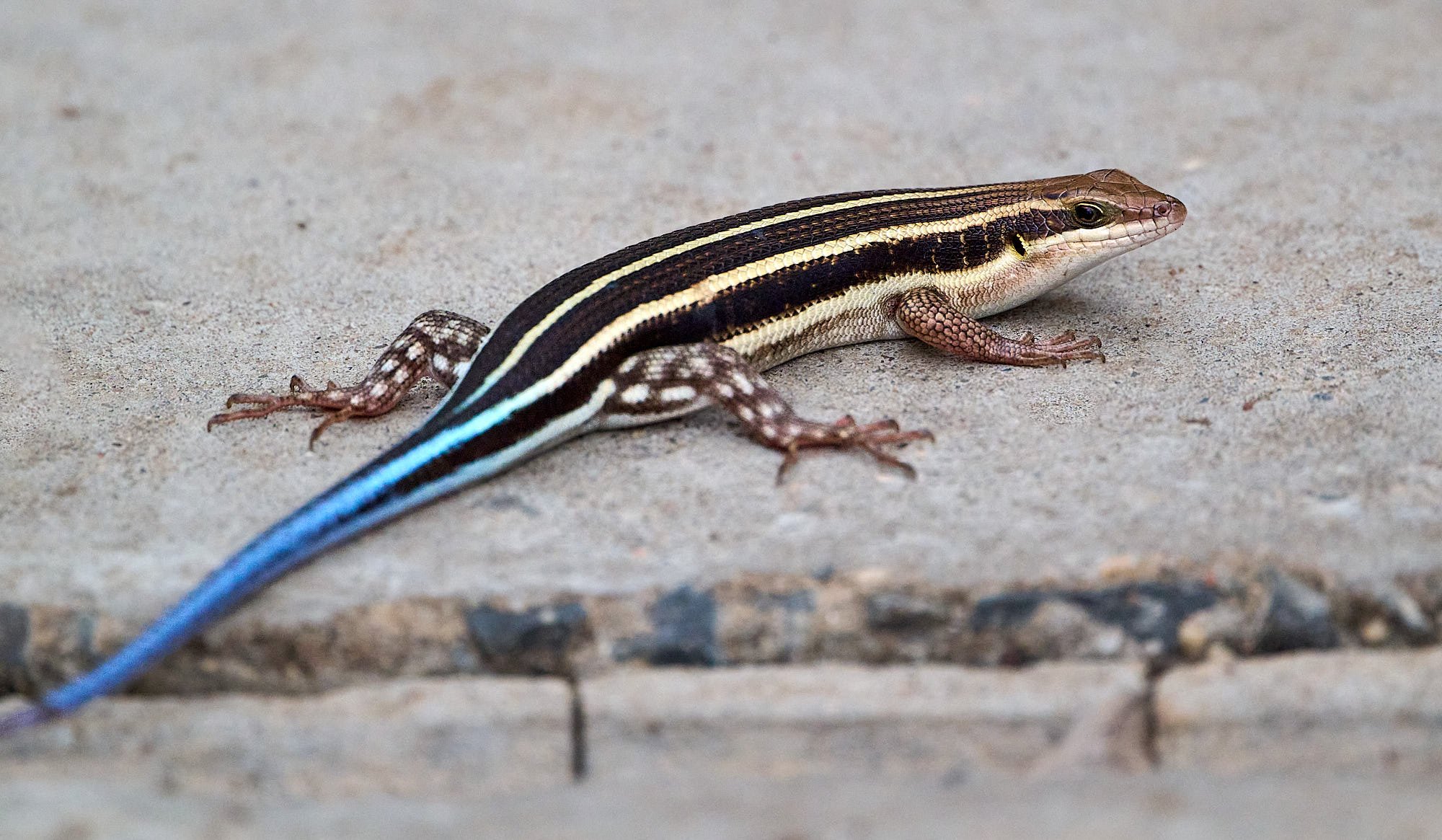
African Five-lined Skink
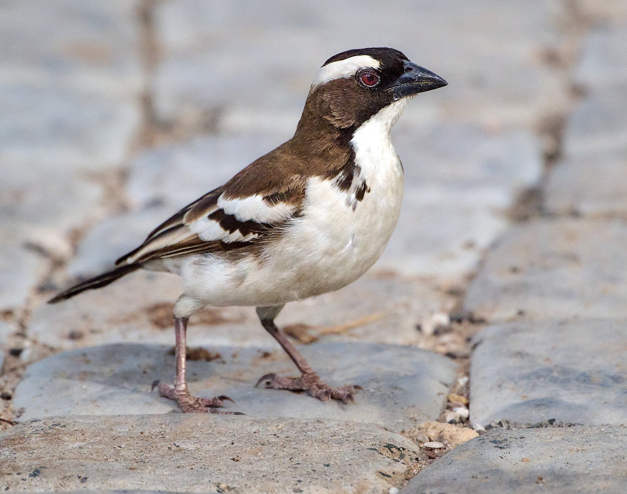
White-browed Sparrow-weaver
Little Bee-eater
Village Weaver
Grey-headed Kingfisher
Grevy’s Zebra
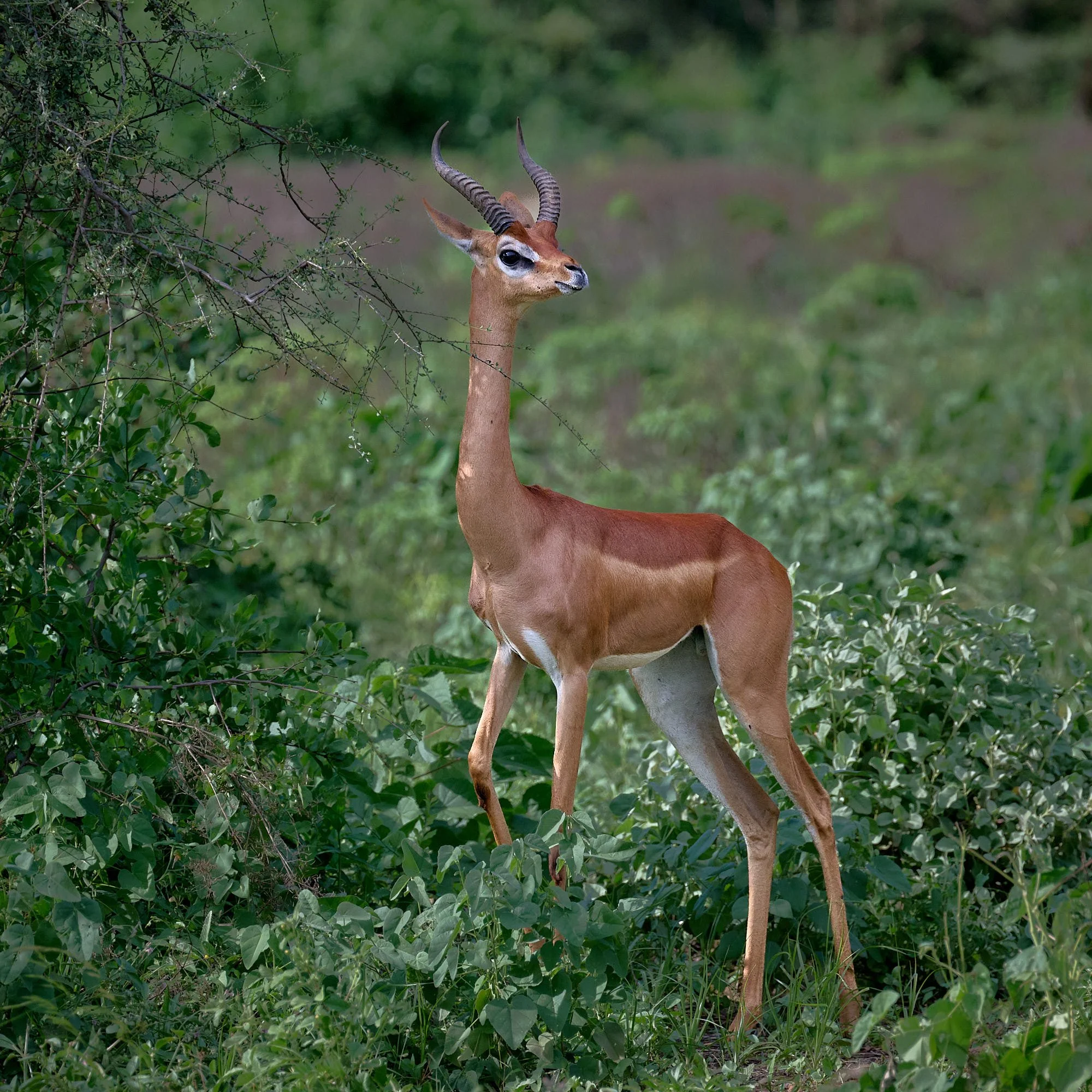
Gerenuk
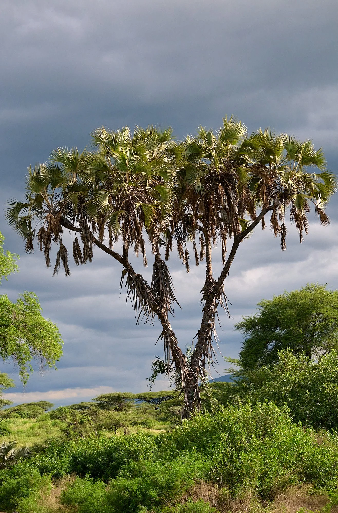
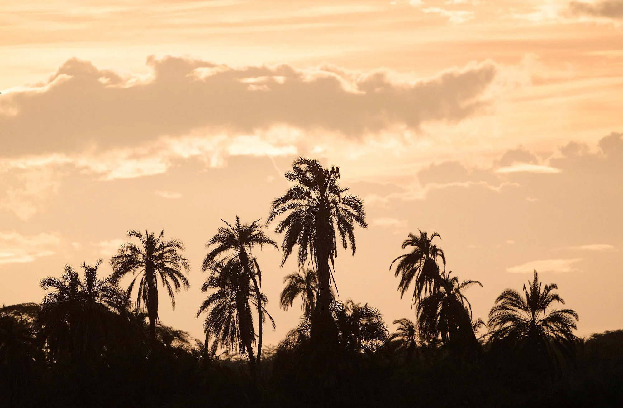
Doum palm
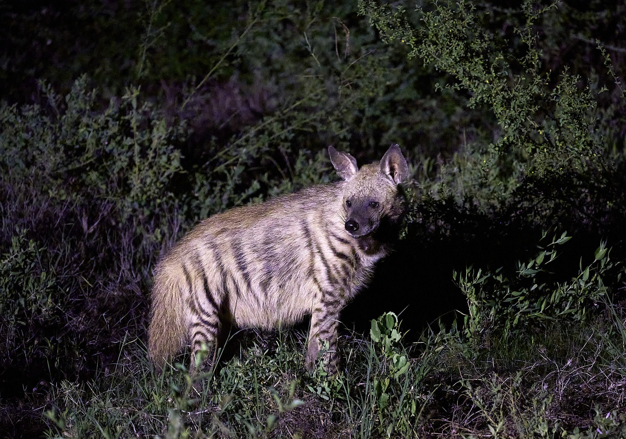
Striped Hyena
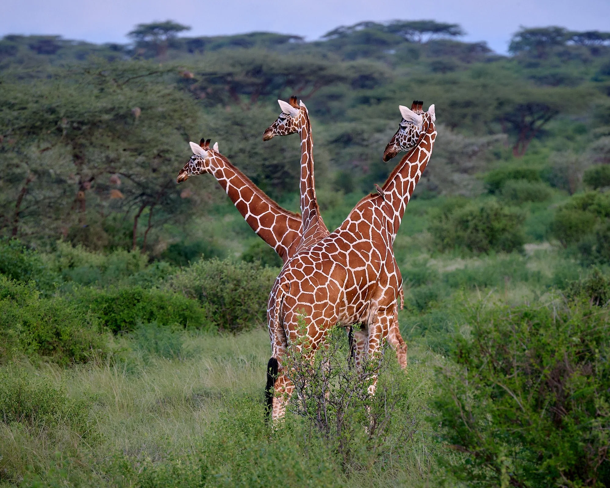
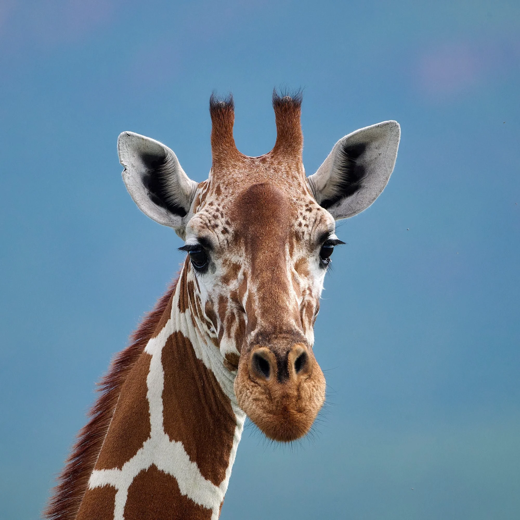
Northern Giraffe, subspecies reticulata
Bull enjoying his water hole
Lake Nakuru National Park
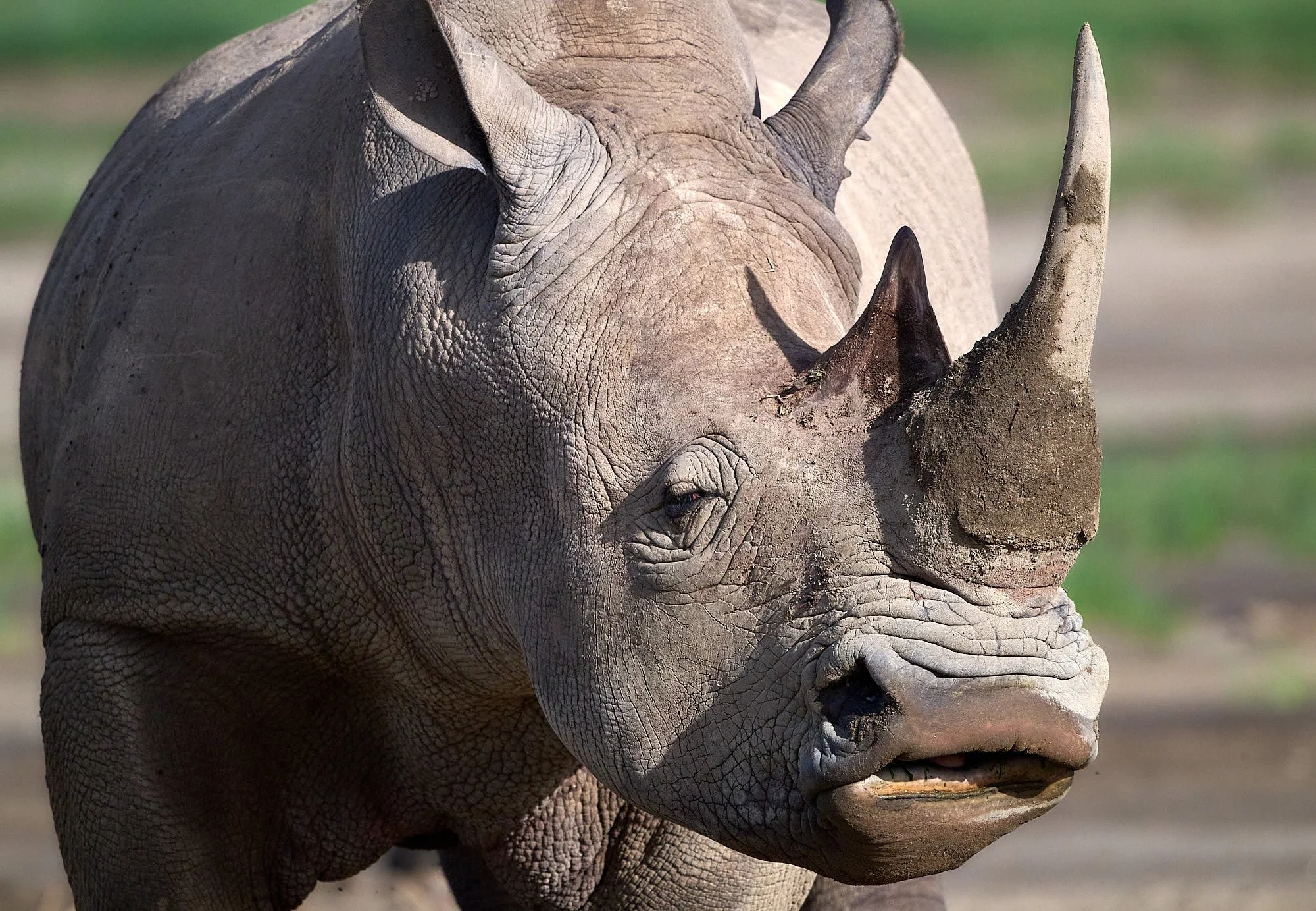
The park was established to protect vast flocks of flamingoes. It covers 73 square miles and centers on Lake Nakuru, an alkaline Rift Valley lake. It is situated at an elevation of 5,755 feet, and has a maximum depth of the lake is only 6 feet. The surrounding landscape includes grasslands, marshes, copses of yellow fever trees, and hills with granite cliffs. The park is fenced to contain and protect the large mammals, including a substantial number of white and eastern black rhinos.
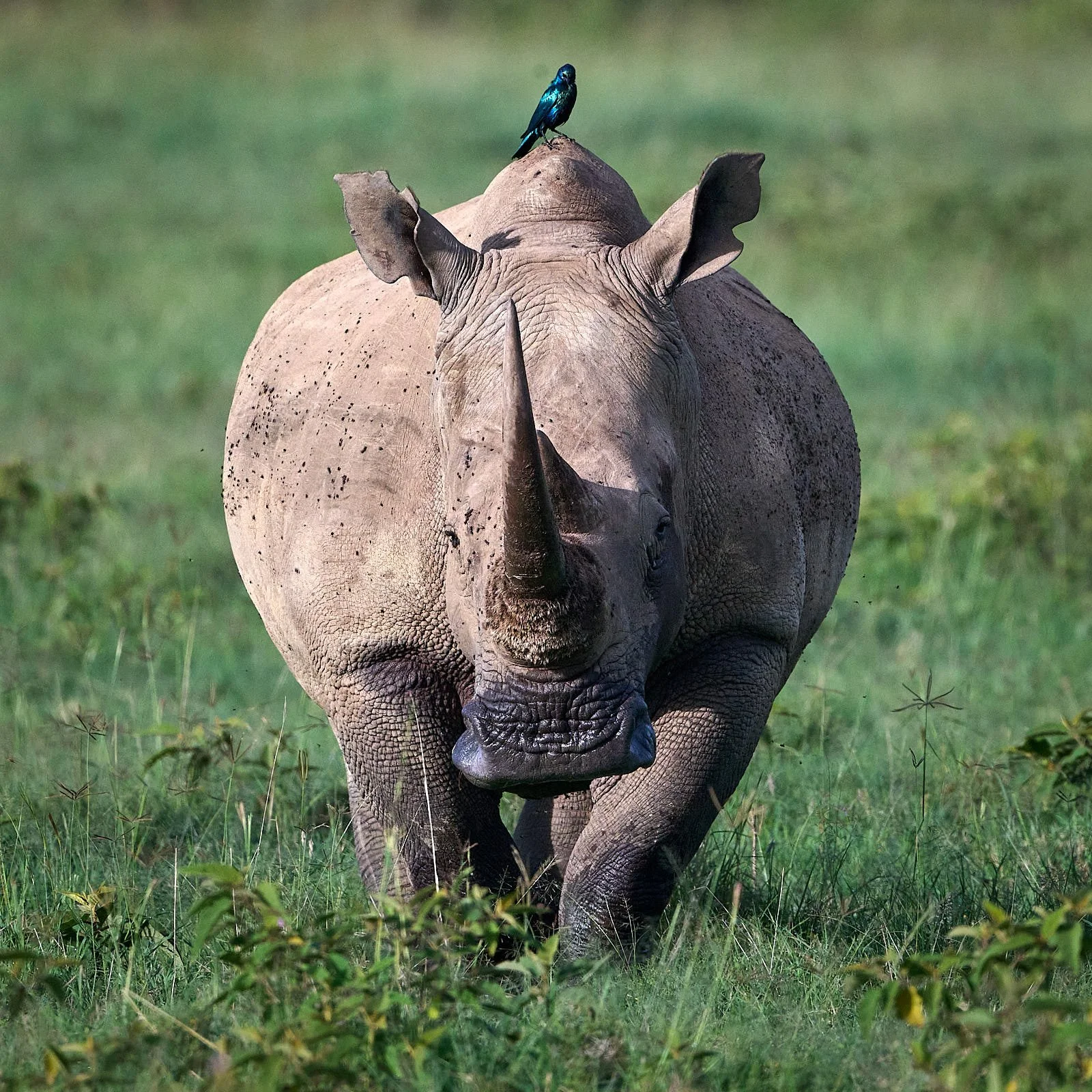
White Rhinoceros, female
Pied Kingfisher, female
Jackson's Widowbird
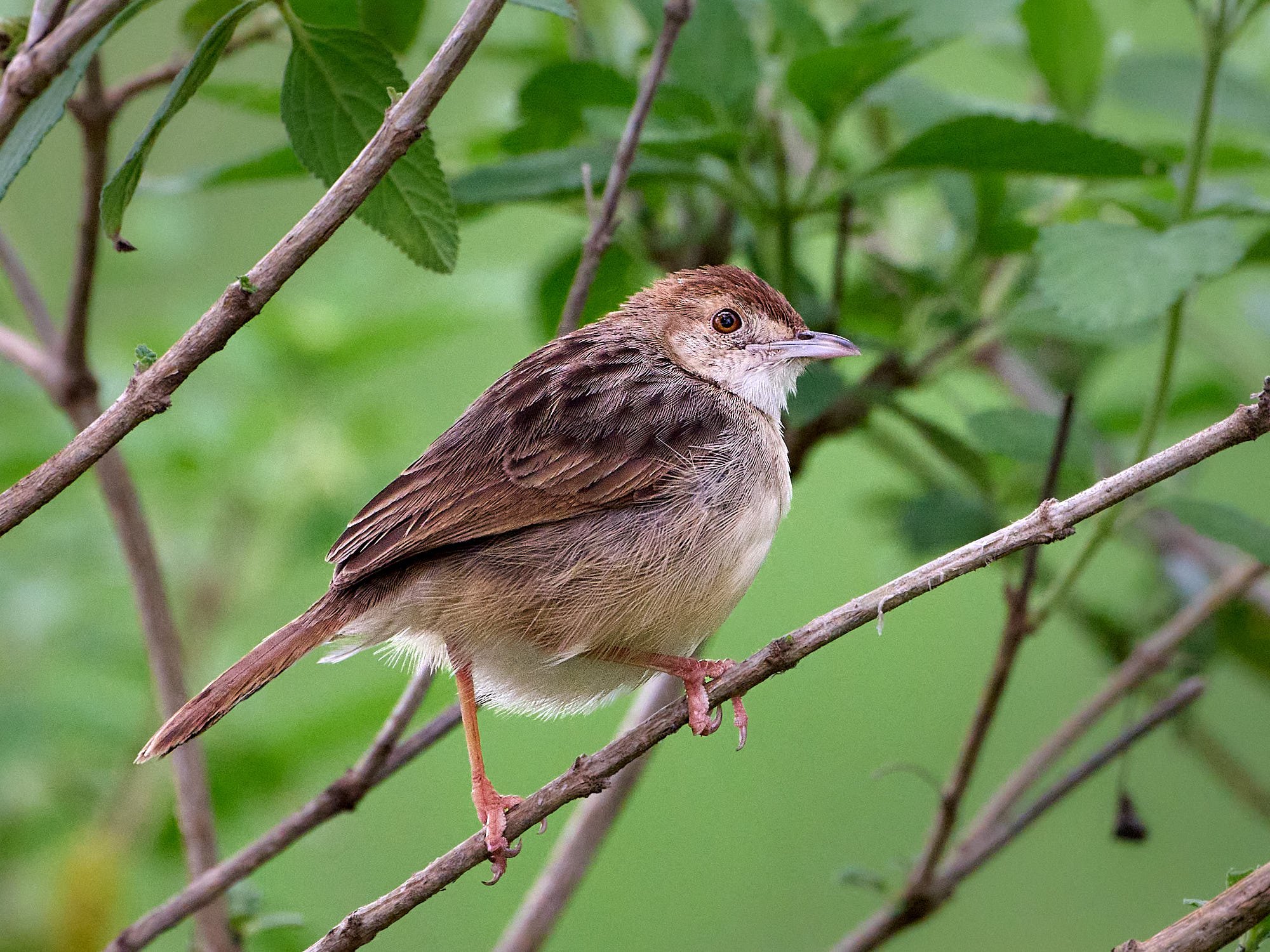
Rattling Cisticola
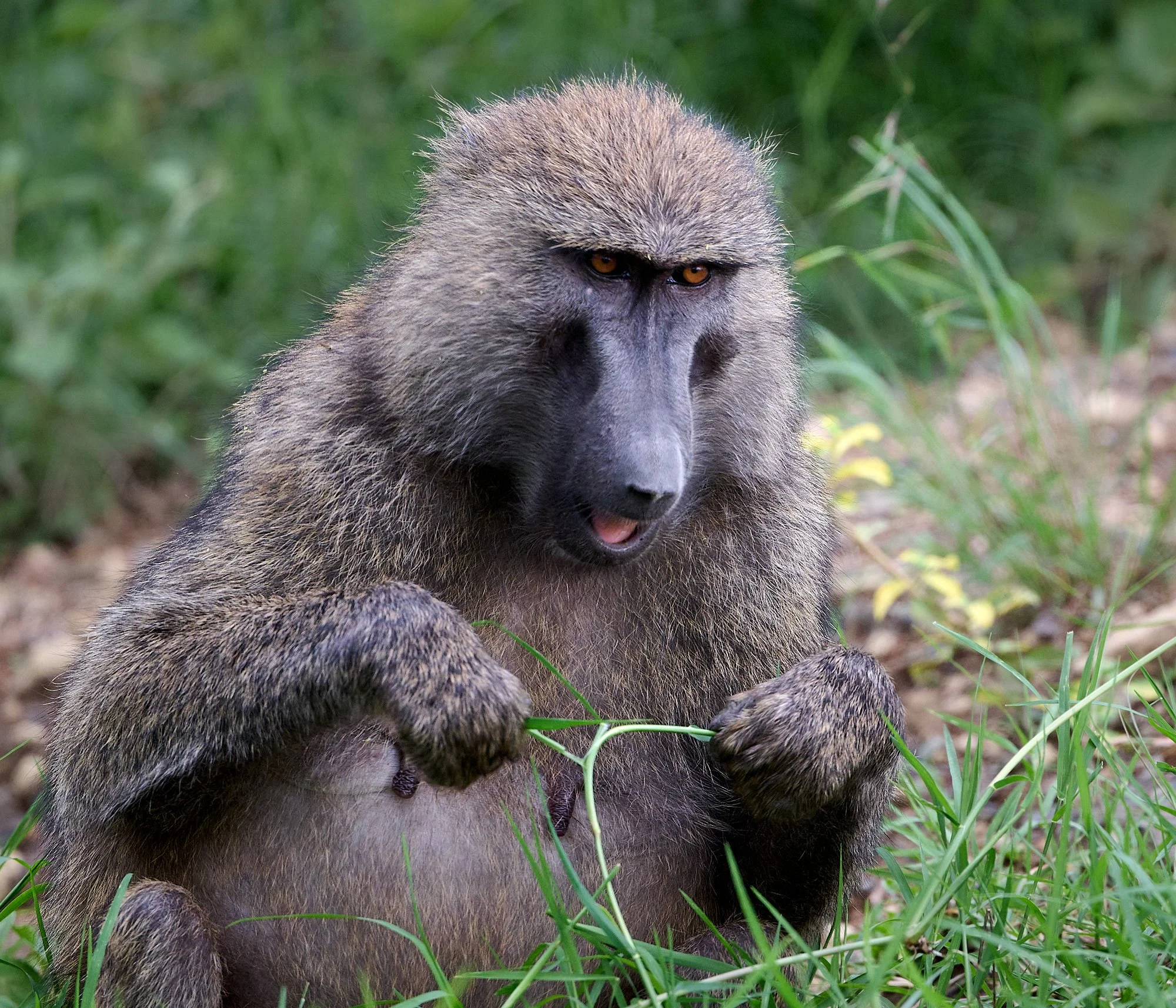
Olive Baboon
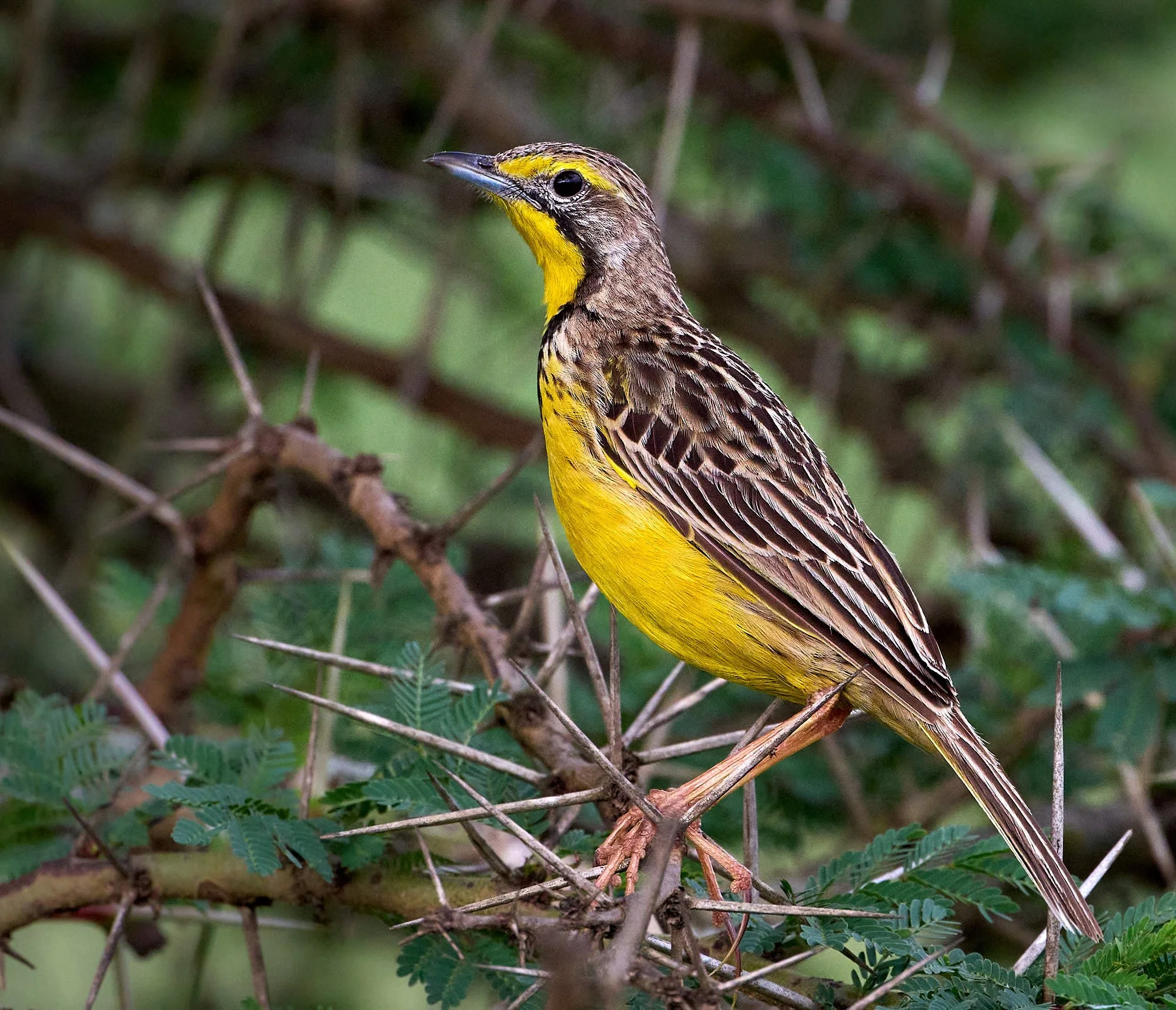
Yellow-throated Longclaw
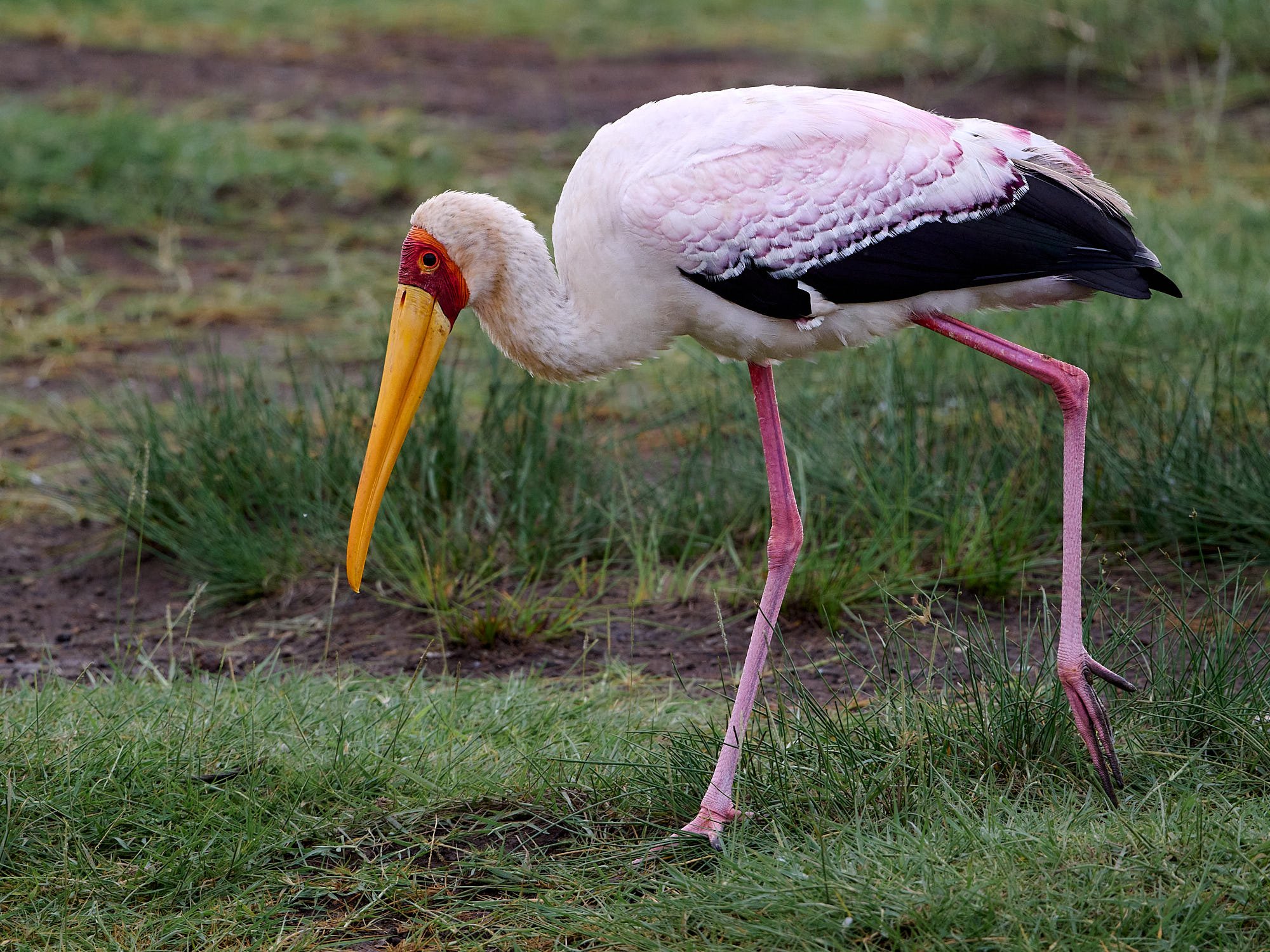
Yellow-billed Stork
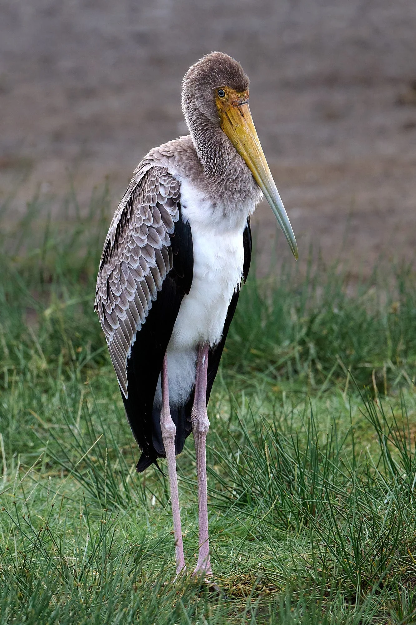
Yellow-billed Stork, juvenile
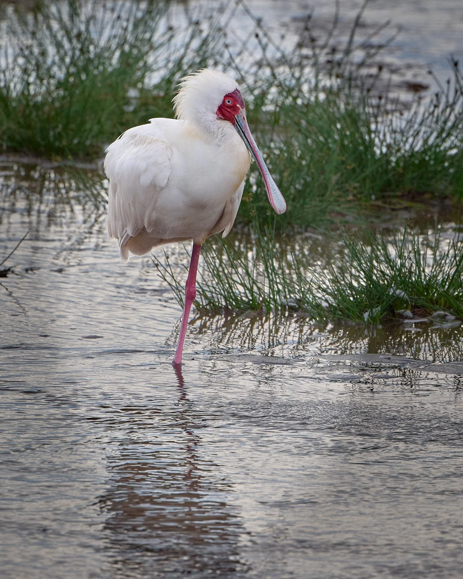
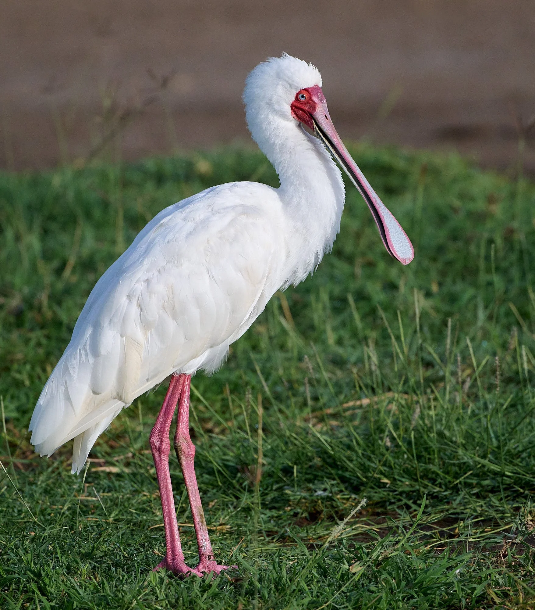
African Spoonbill
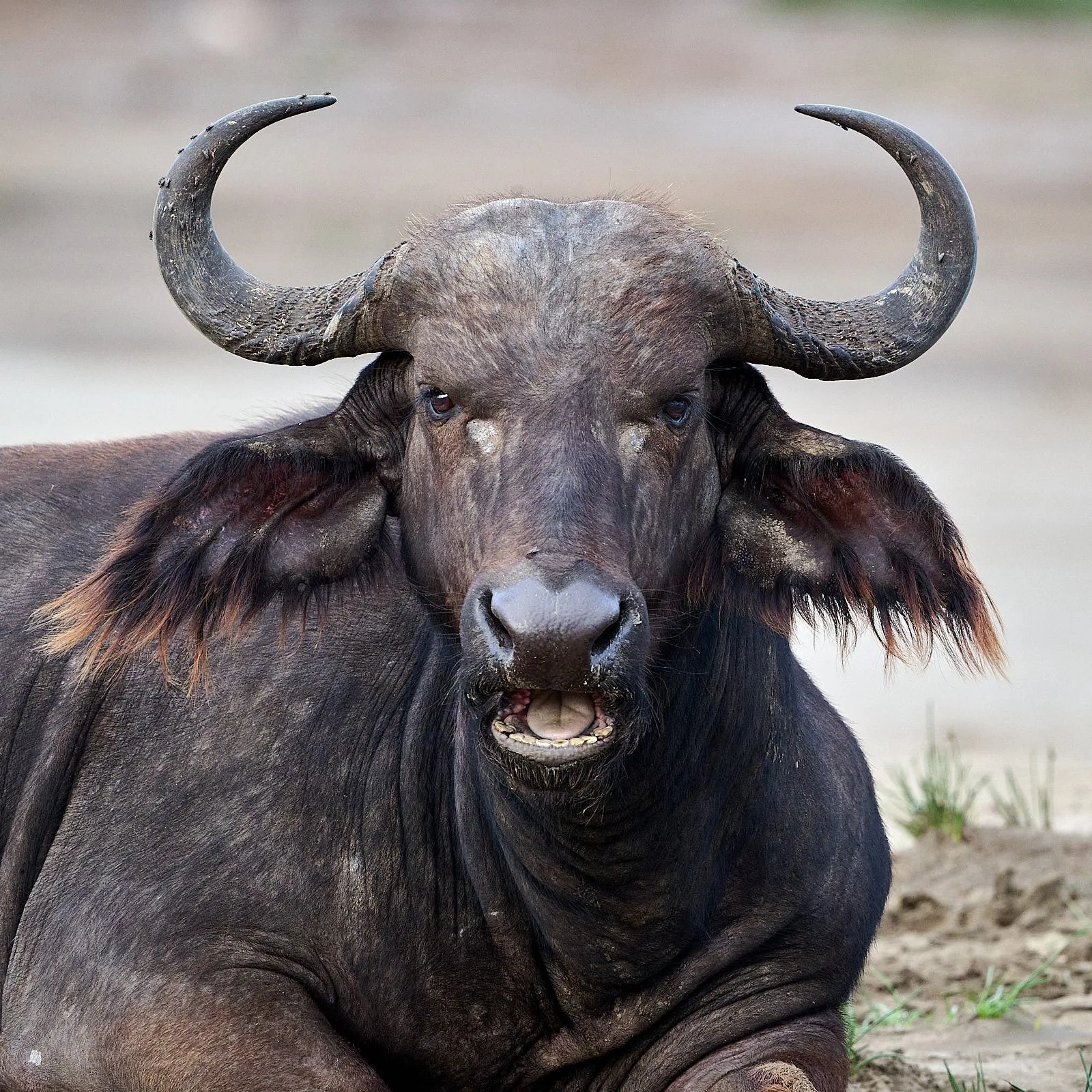
Cape buffalo
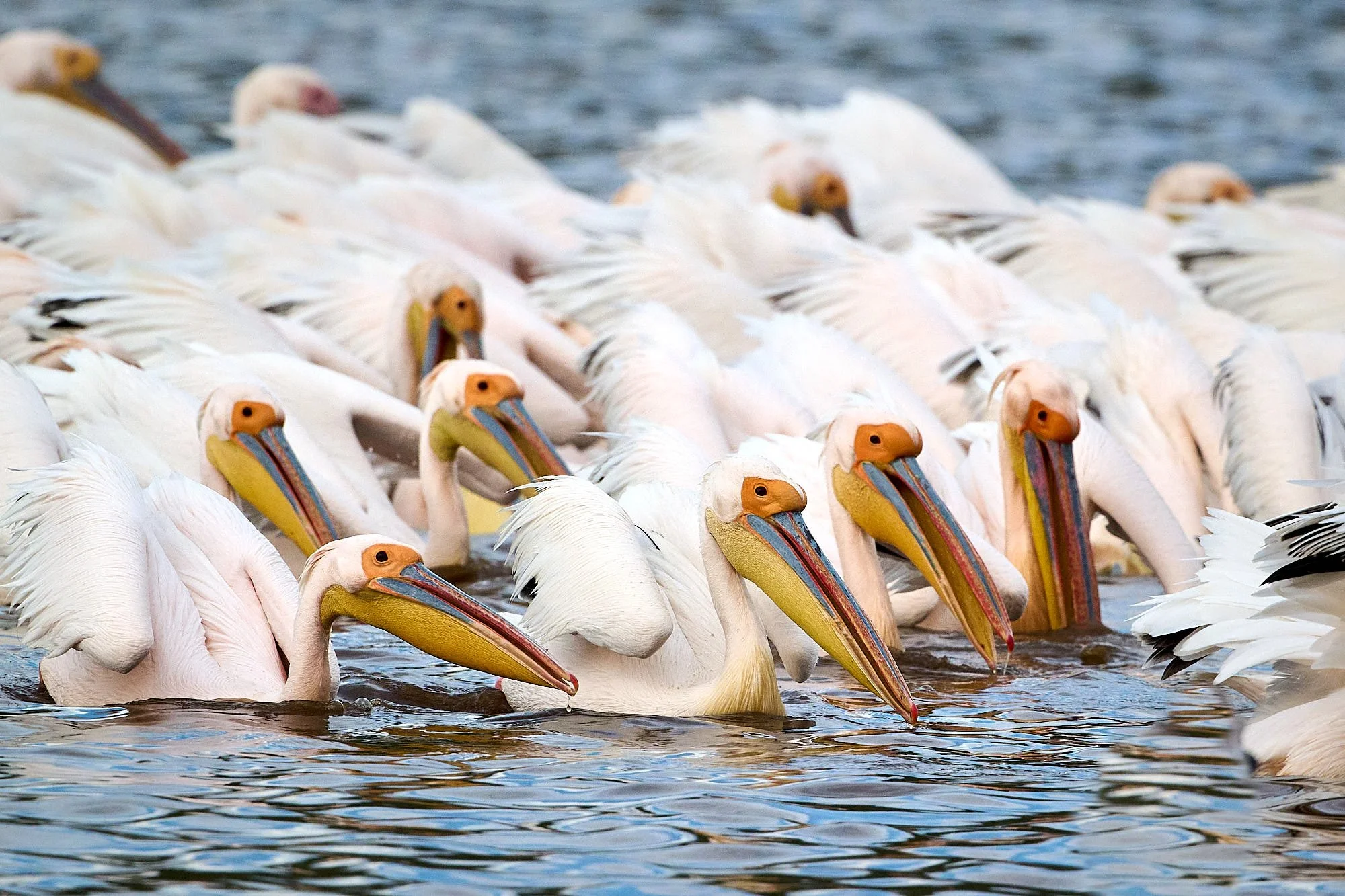
Great White Pelican, coordinated fishing in shallows of Lake Nakuru
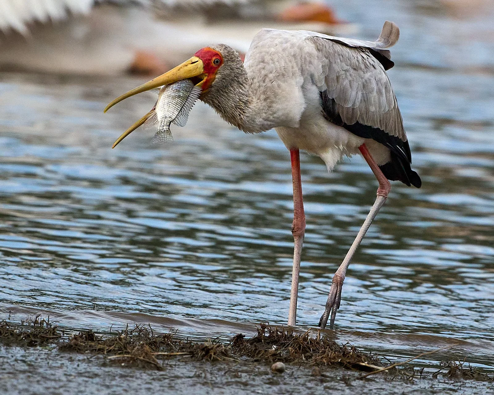
Yellow-billed Stork with Cichlid prize
Greater Flamingoes interacting

Greater Flamingo
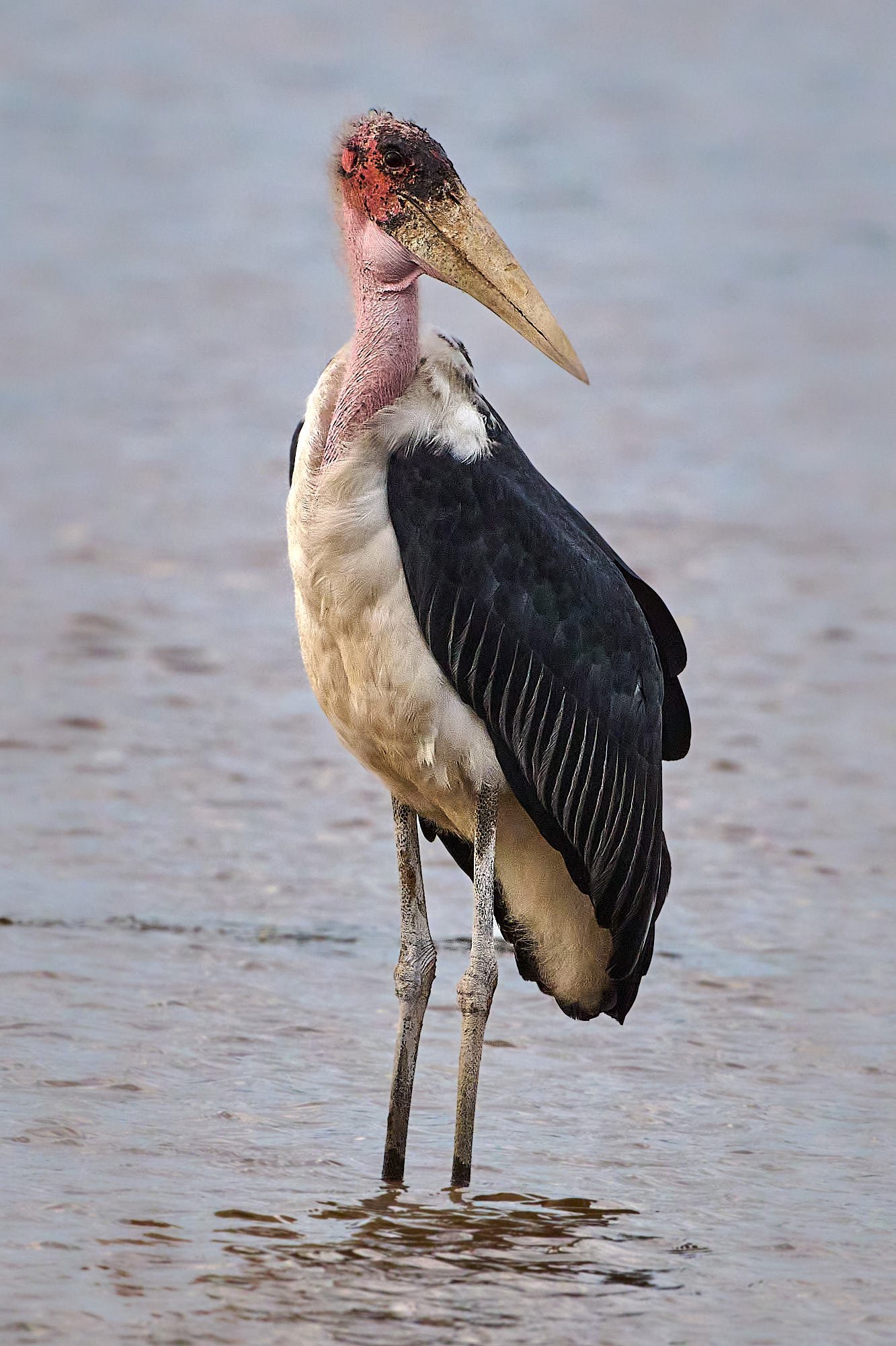
Marabou Stork
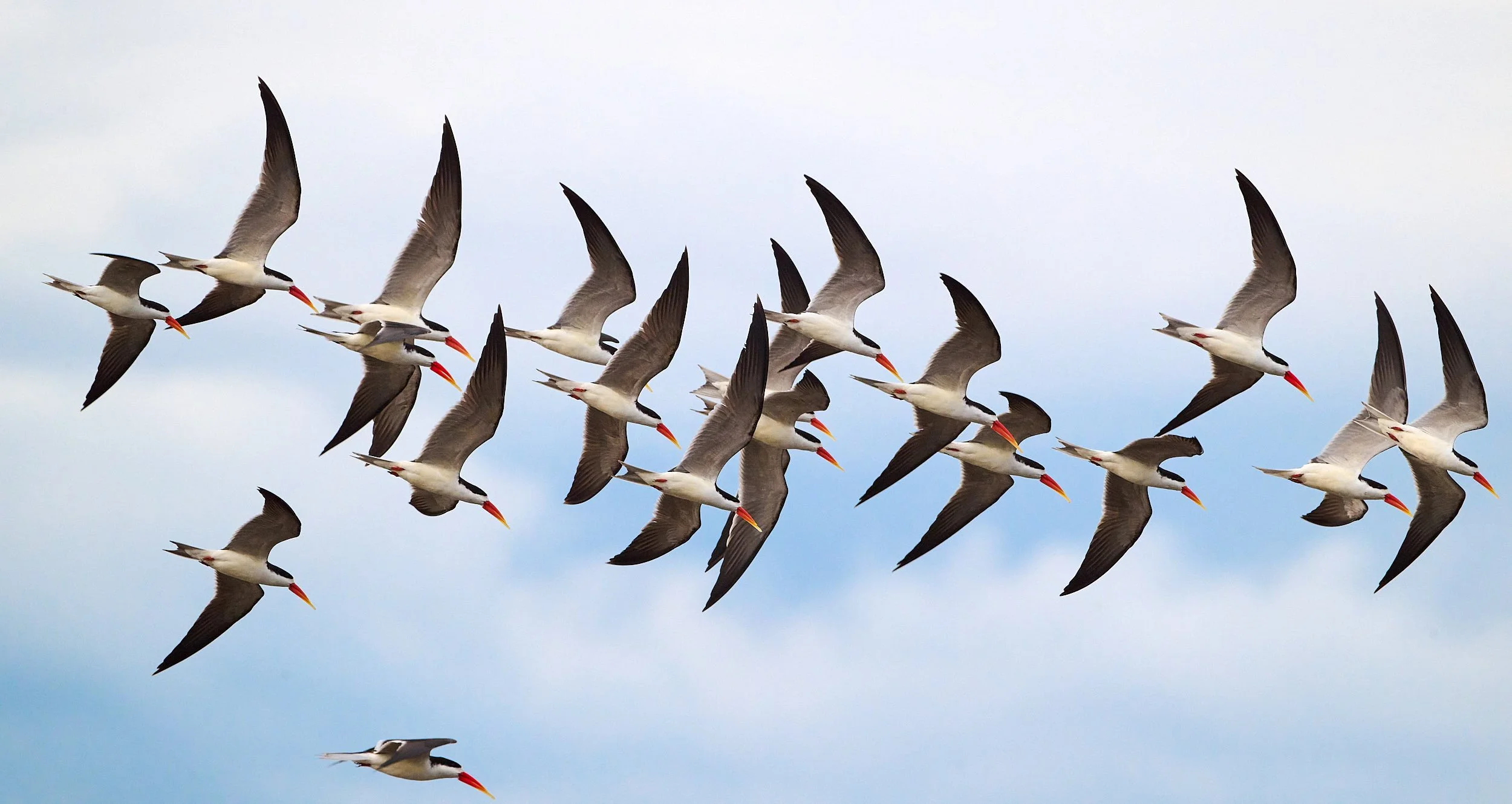
African Skimmer flock
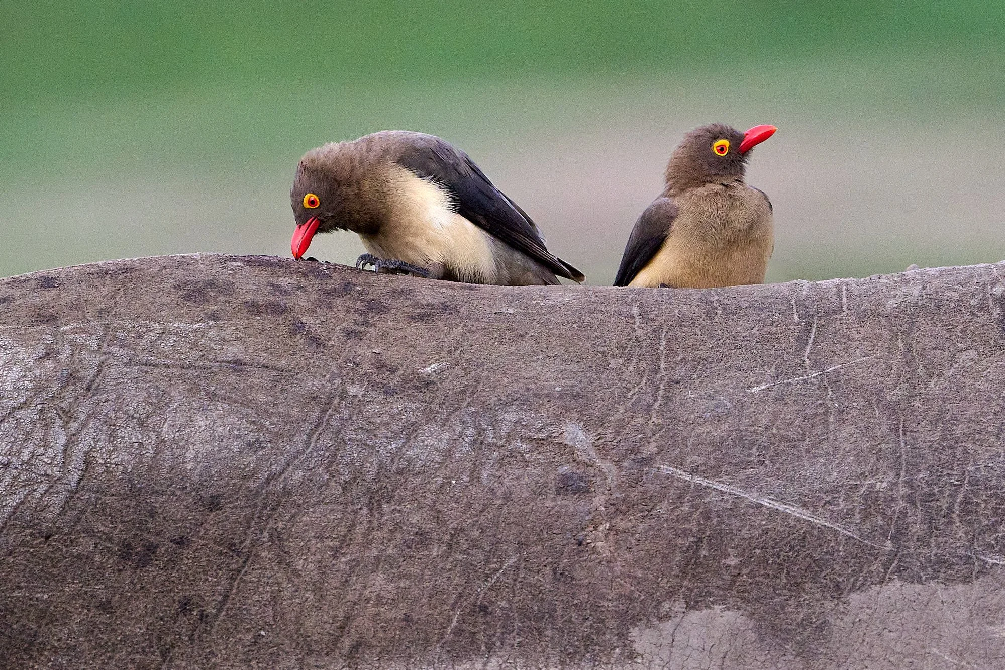
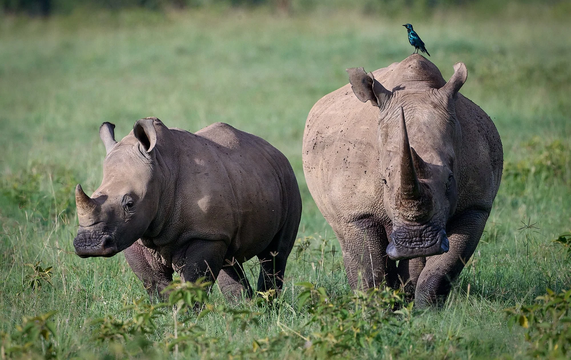
Red-billed Oxpeckers on rhino
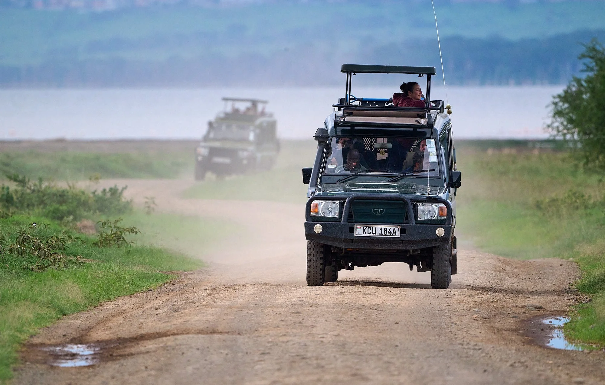
Kenyan safari vehicles
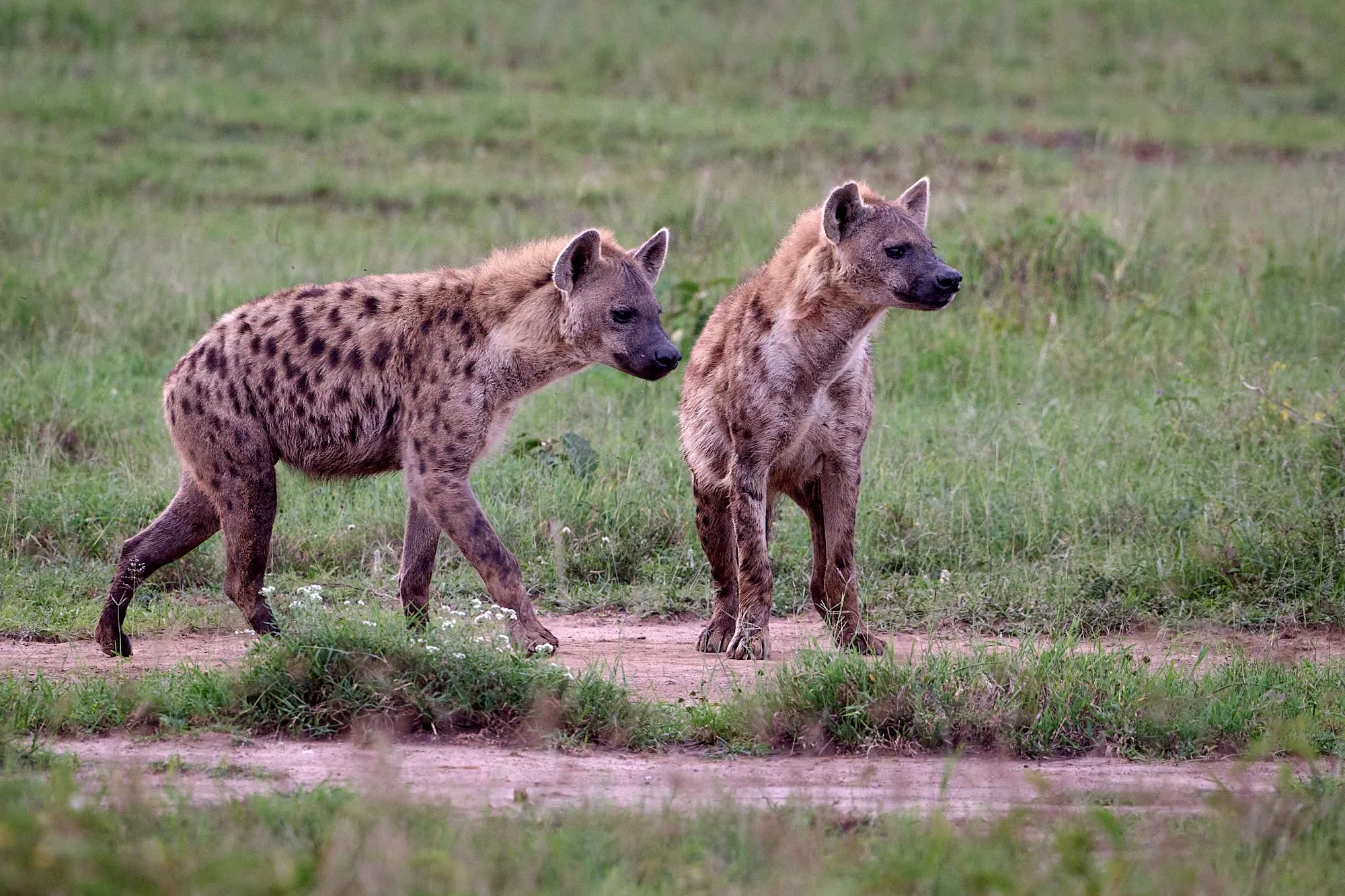
Spotted hyenas
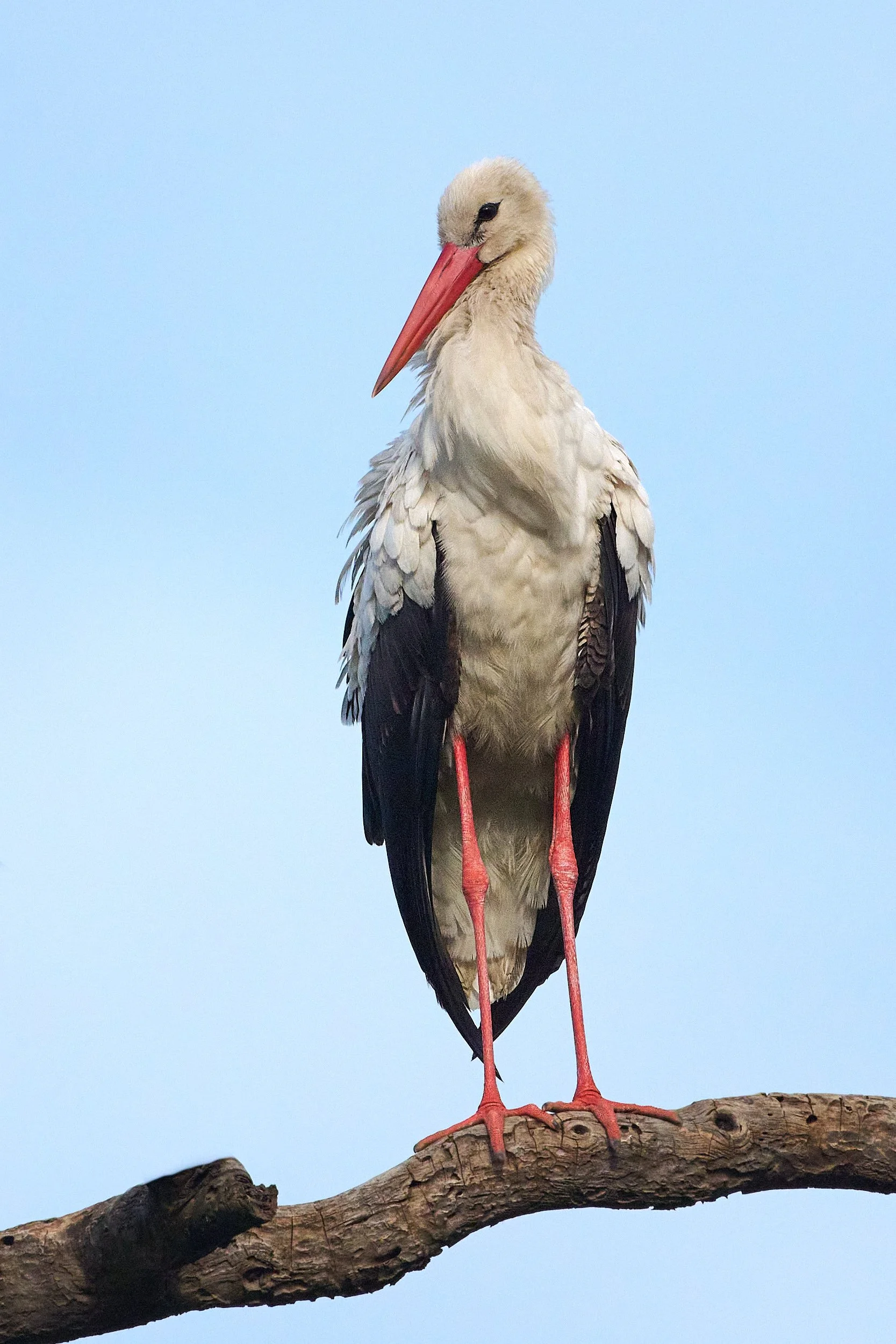
White Stork
African Spoonbill
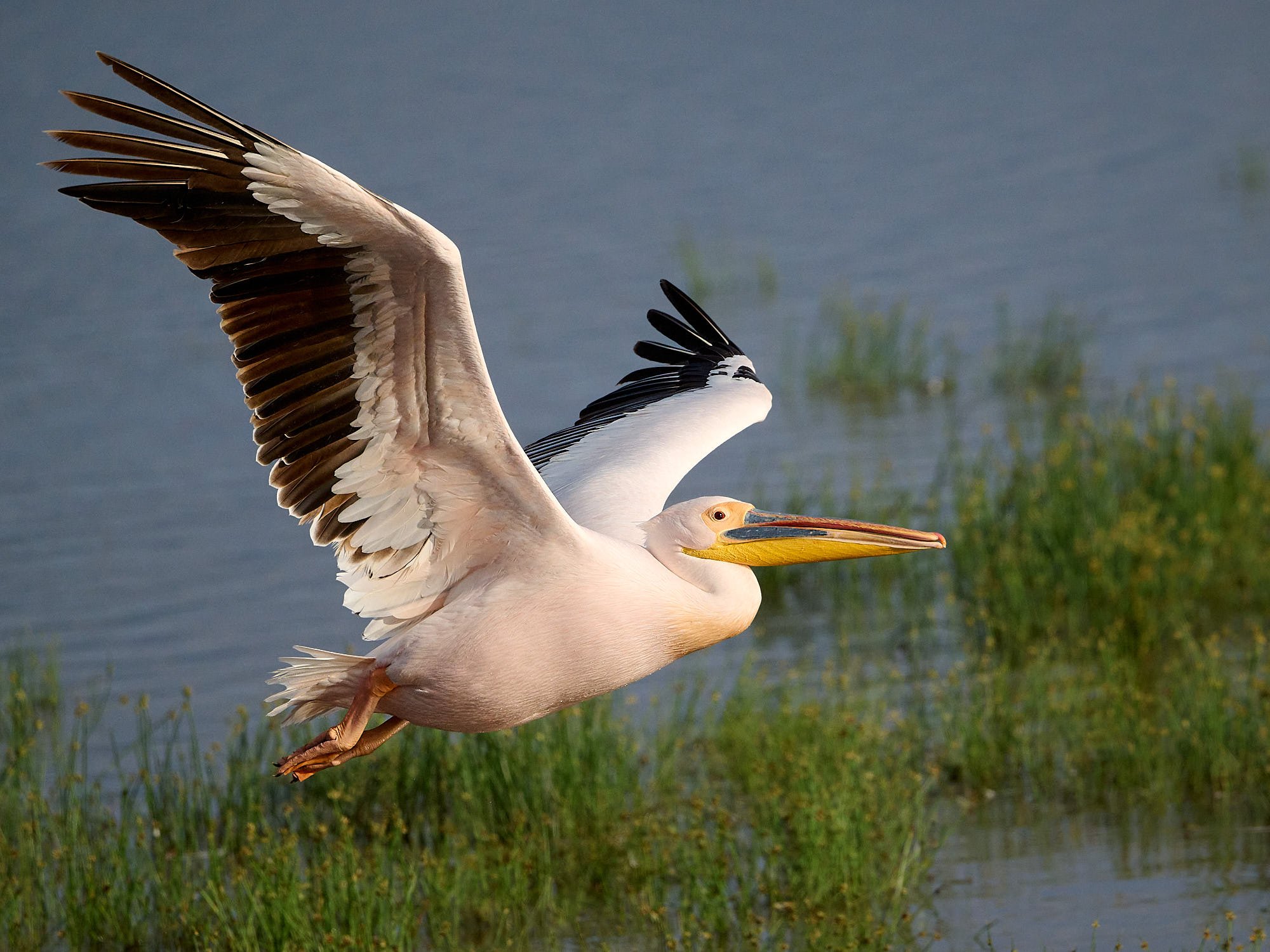
Great White Pelican
Mom, kid, and Rüppell's Starling
Checking our scent. Time to leave.
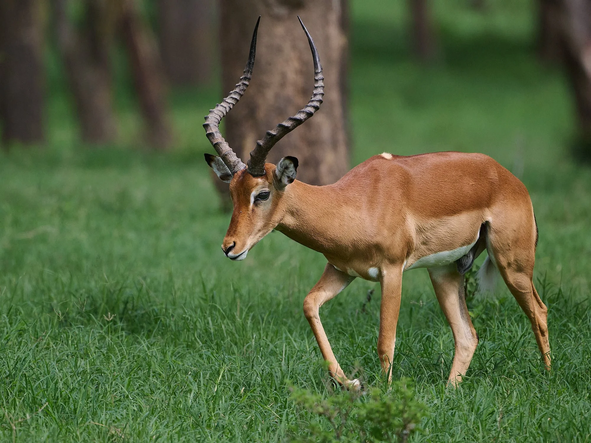
Impala ram

Mom with new baby. The calf had trouble remembering where to find the milk.
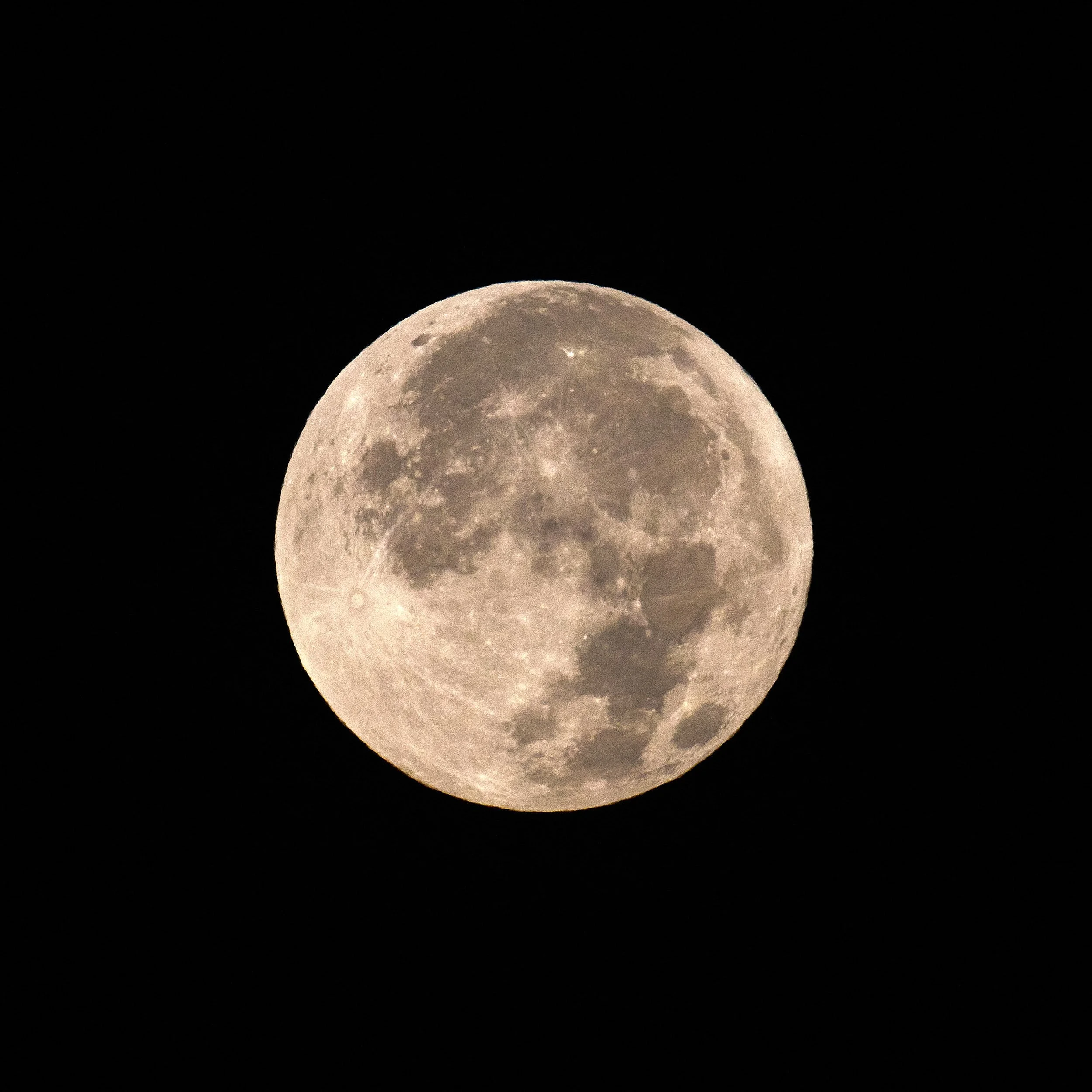
African moon