Chasing the Southwest Monsoon: September & October, 2023
Section #6: The Natural World.
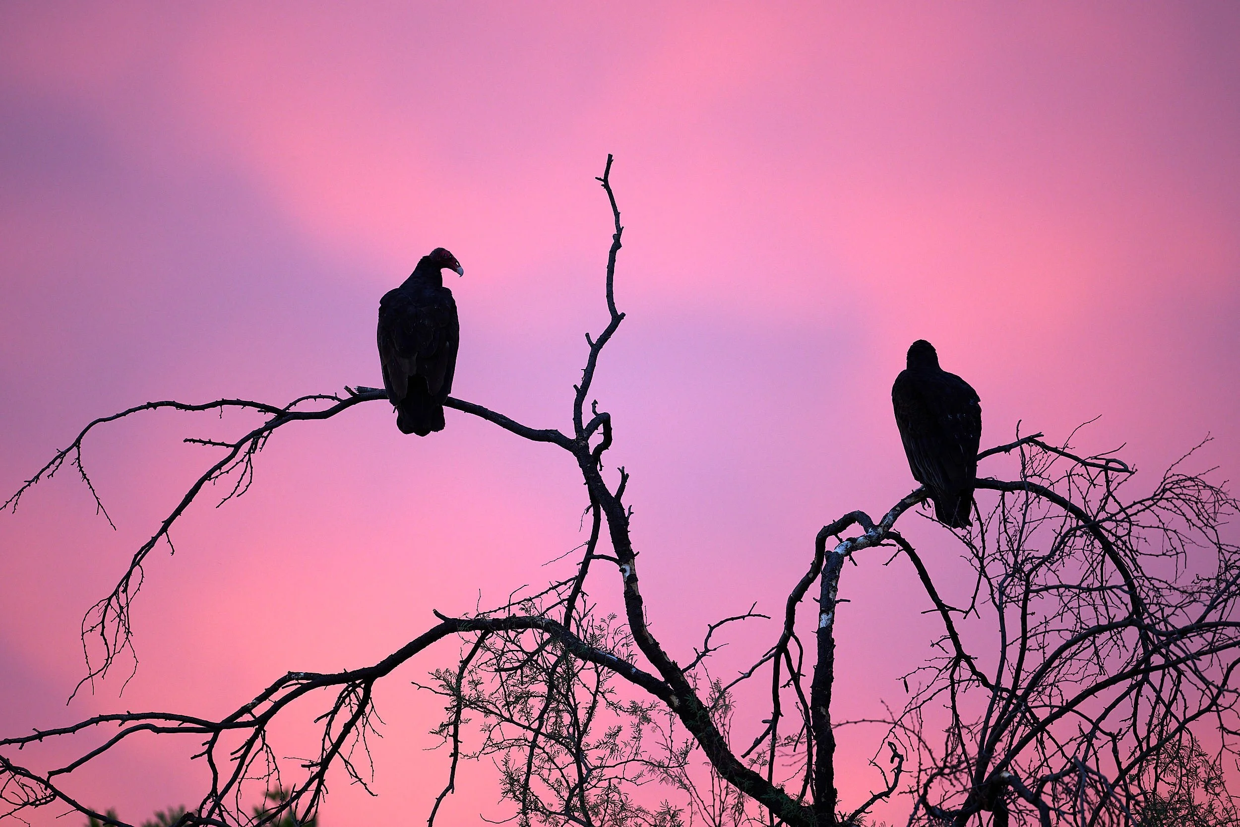
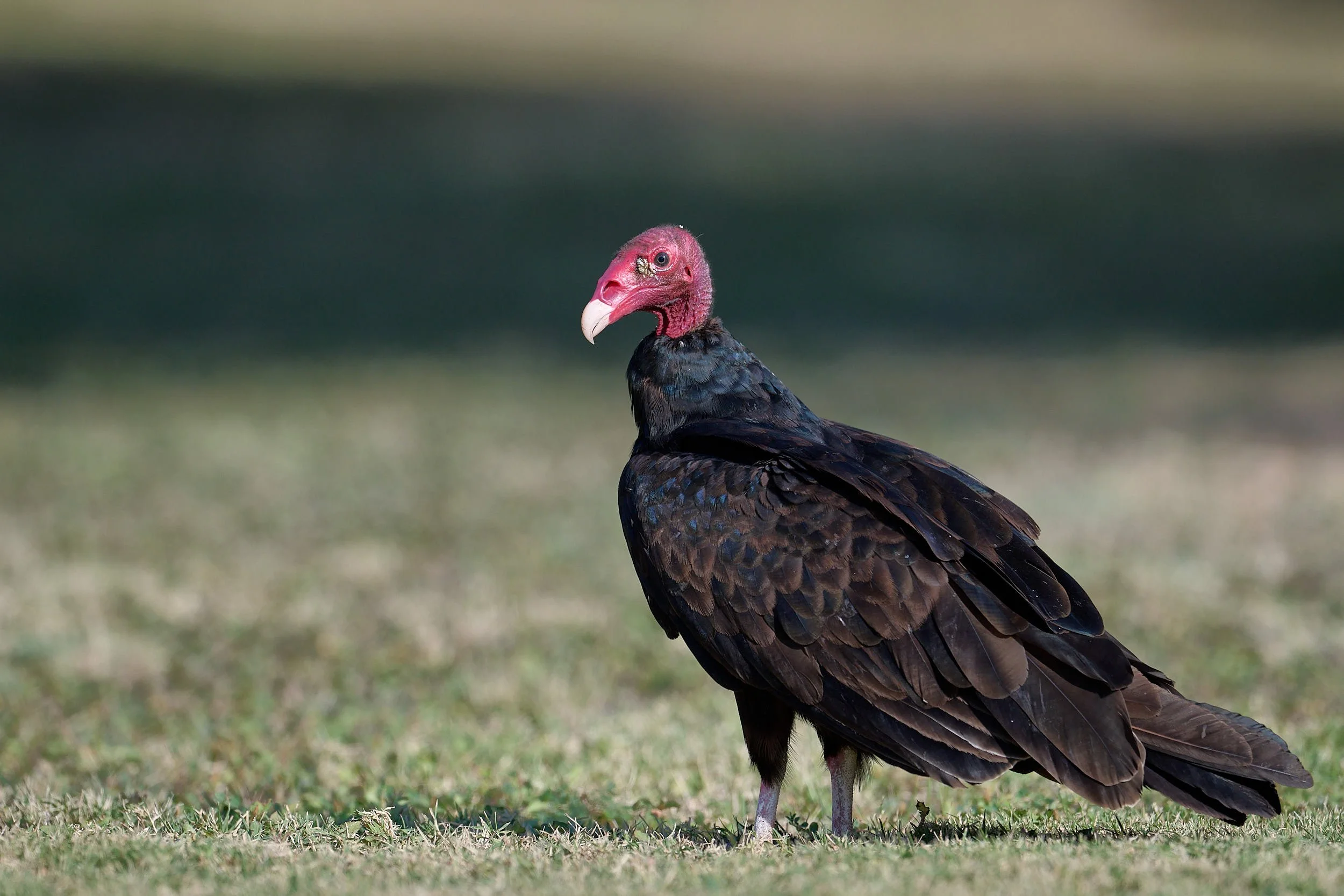
Turkey Vultures
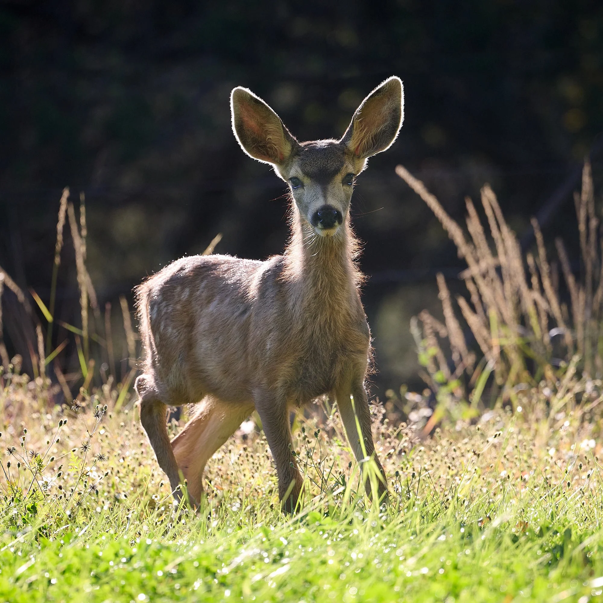
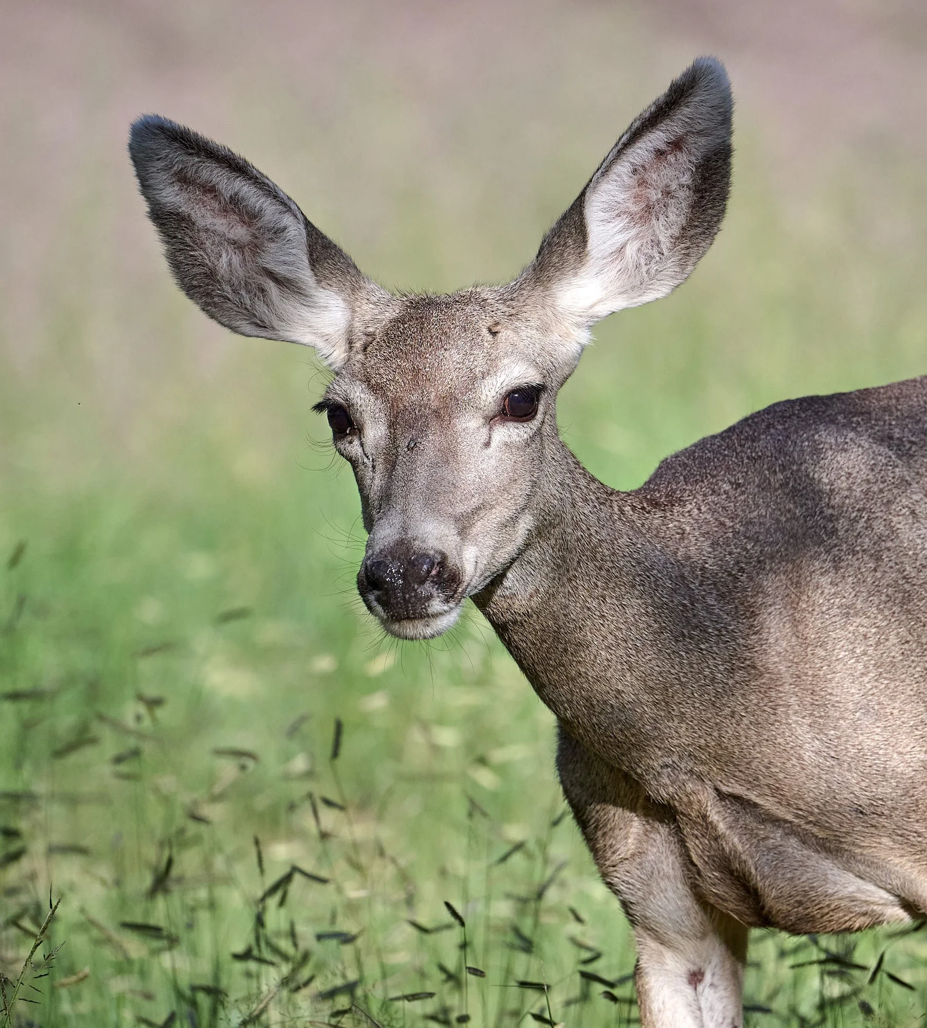
Mule deer fawn
“I hope people realize that their actions, however small they may seem, will truly make a difference. The cumulative effect of thousands of ethical actions can help to save and improve our world for future generations.”
Jane Goodall, The Book of Hope, 2021.
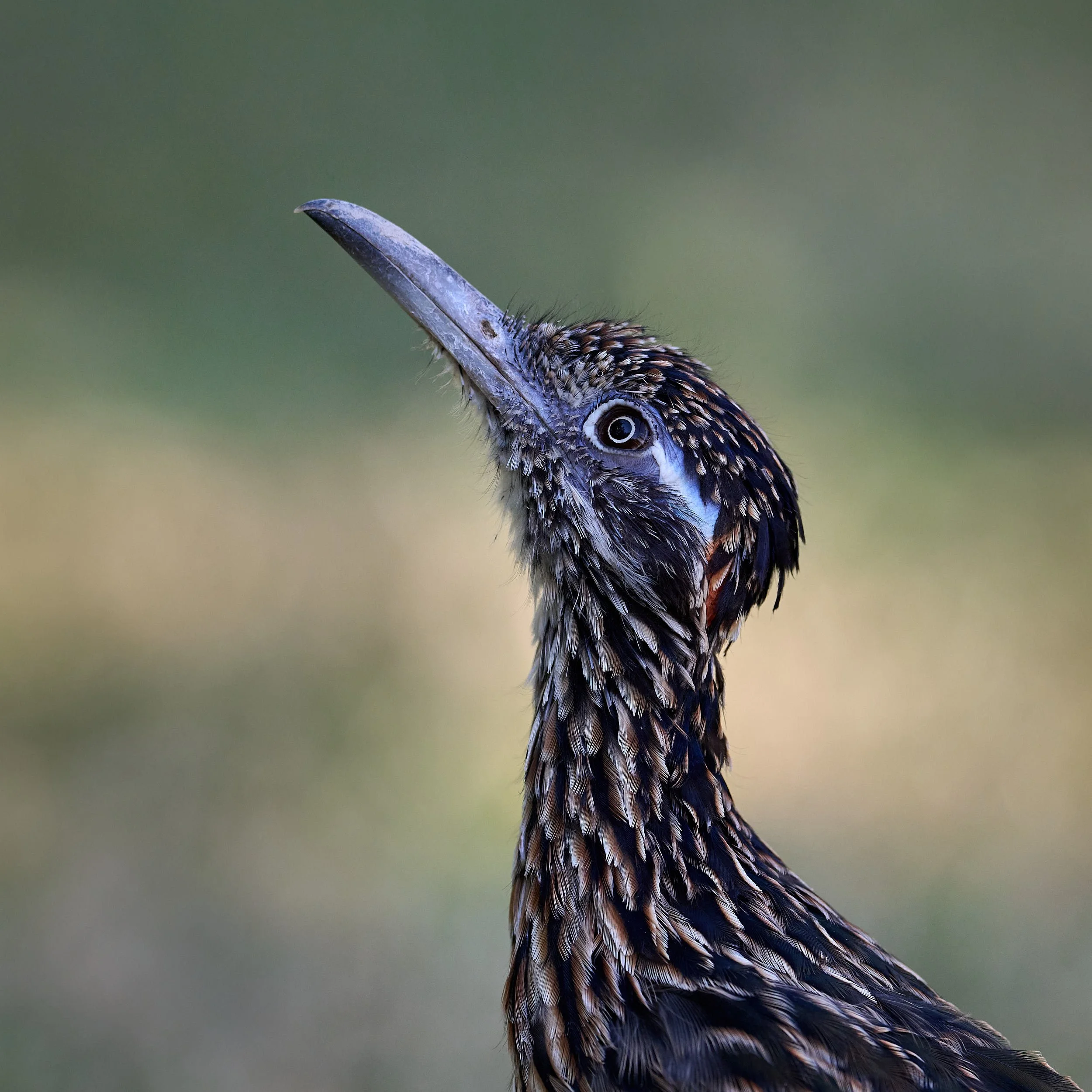
Greater Roadrunner.
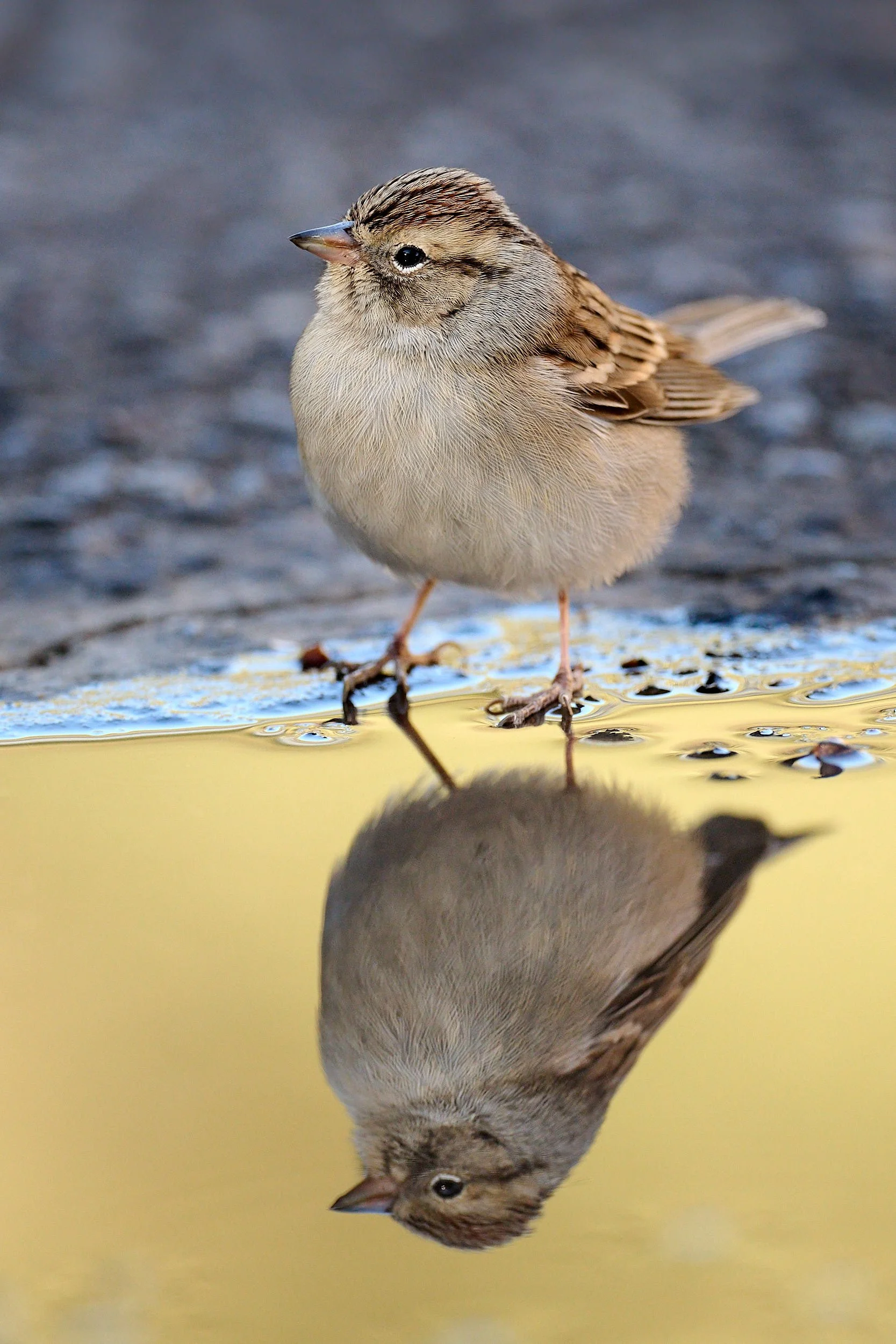
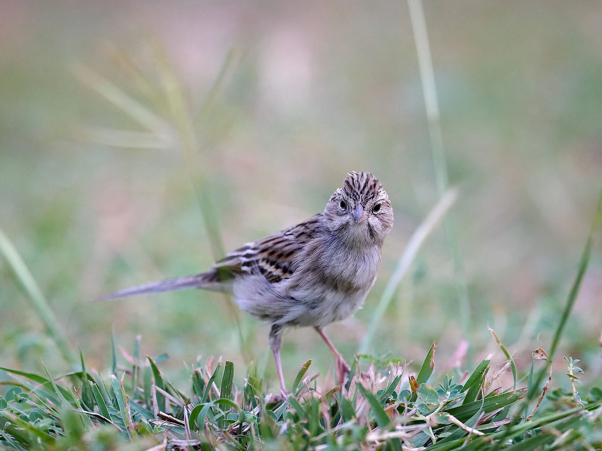
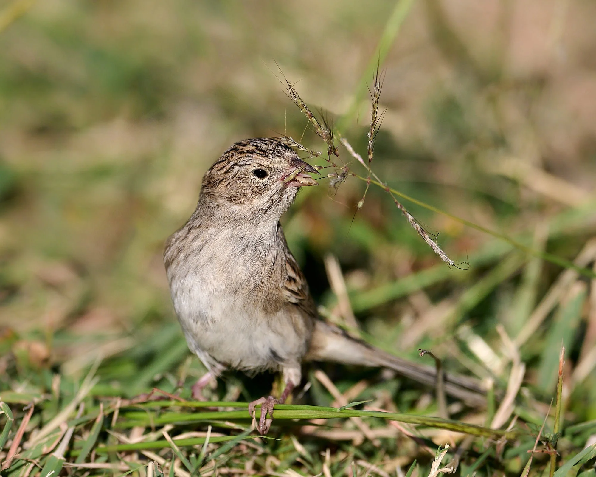
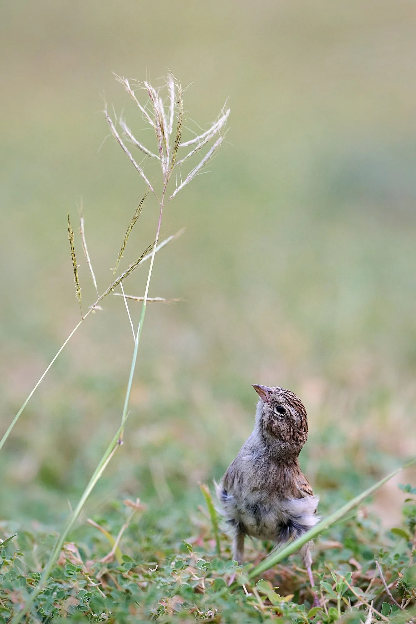
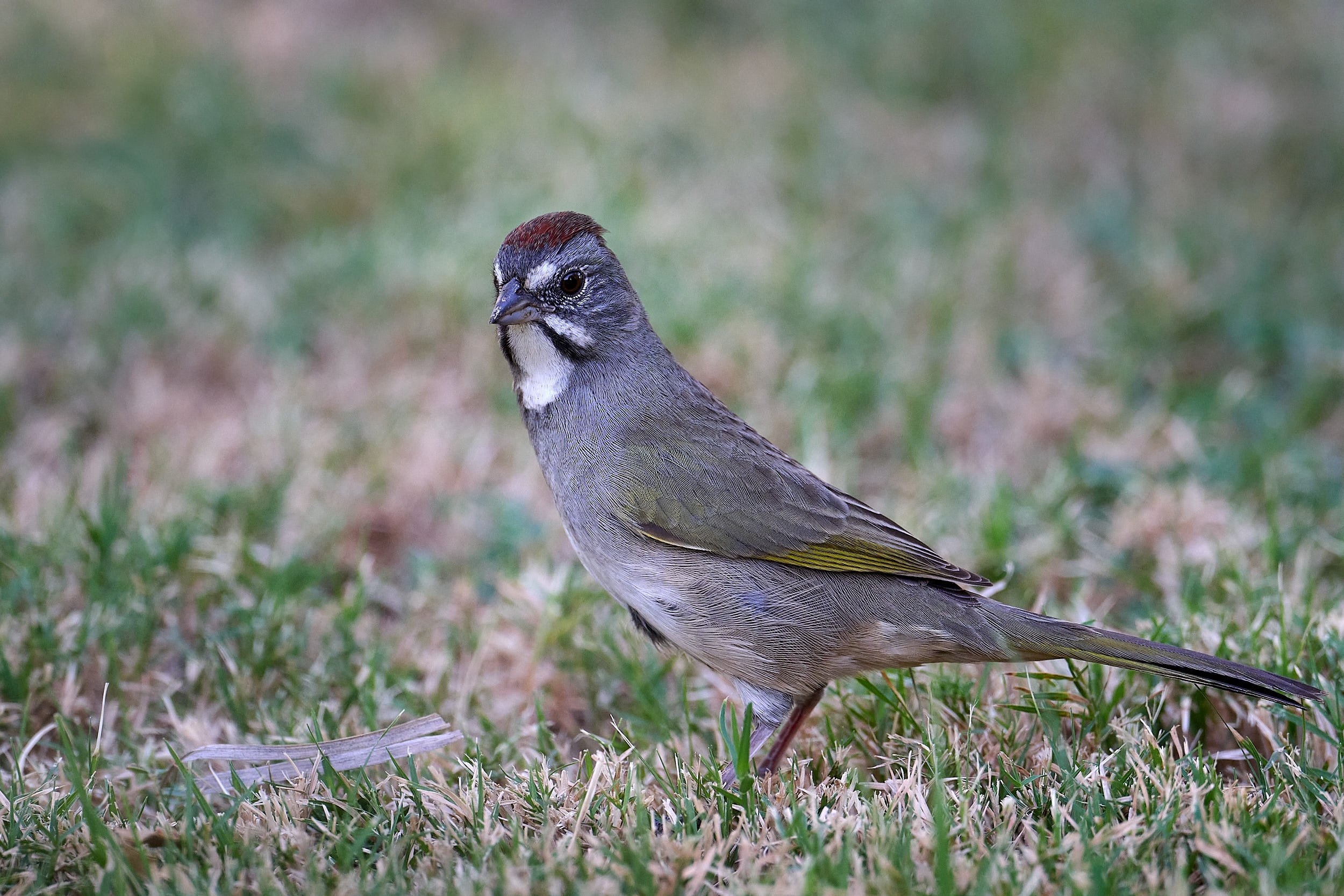
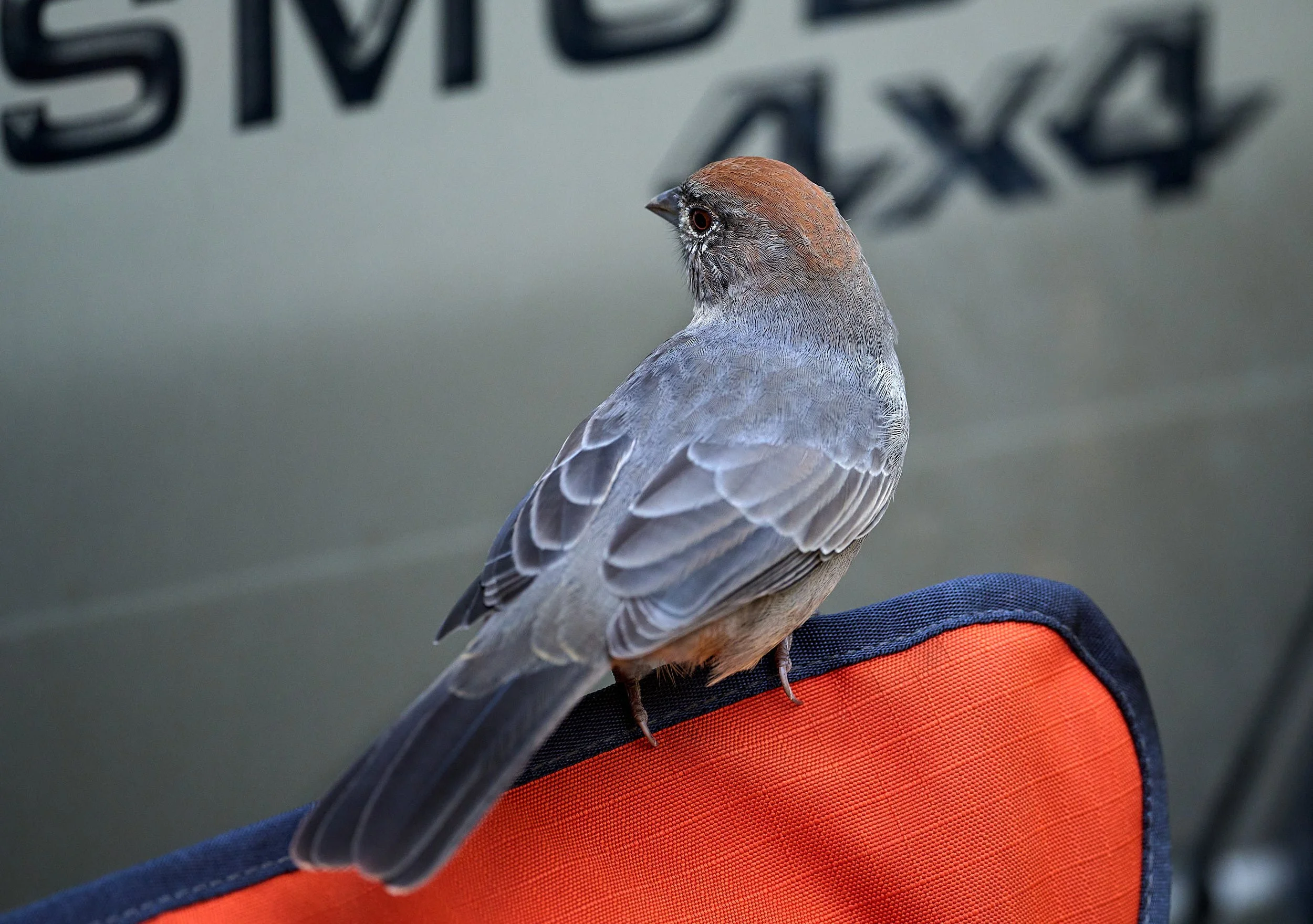
Chipping Sparrow
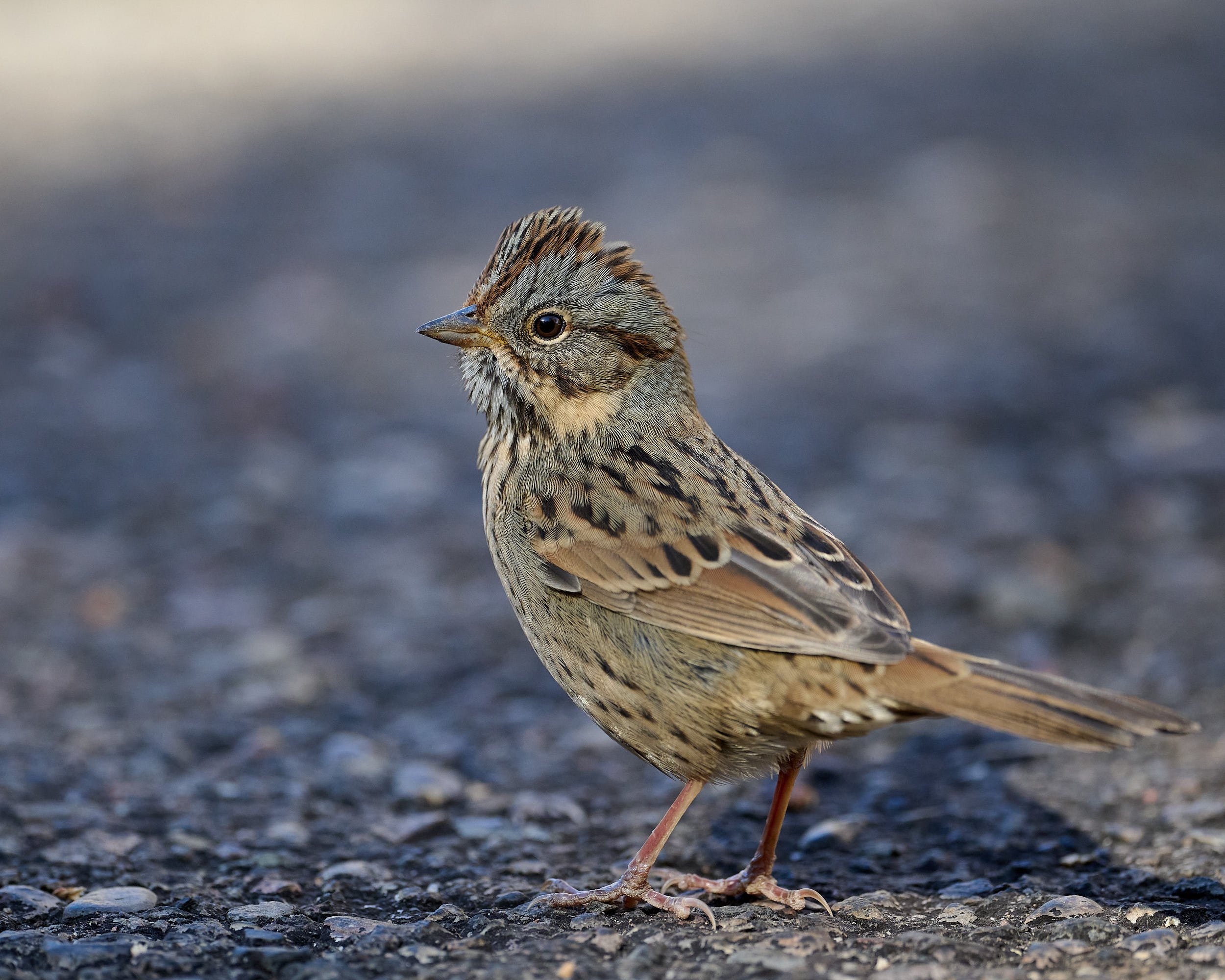
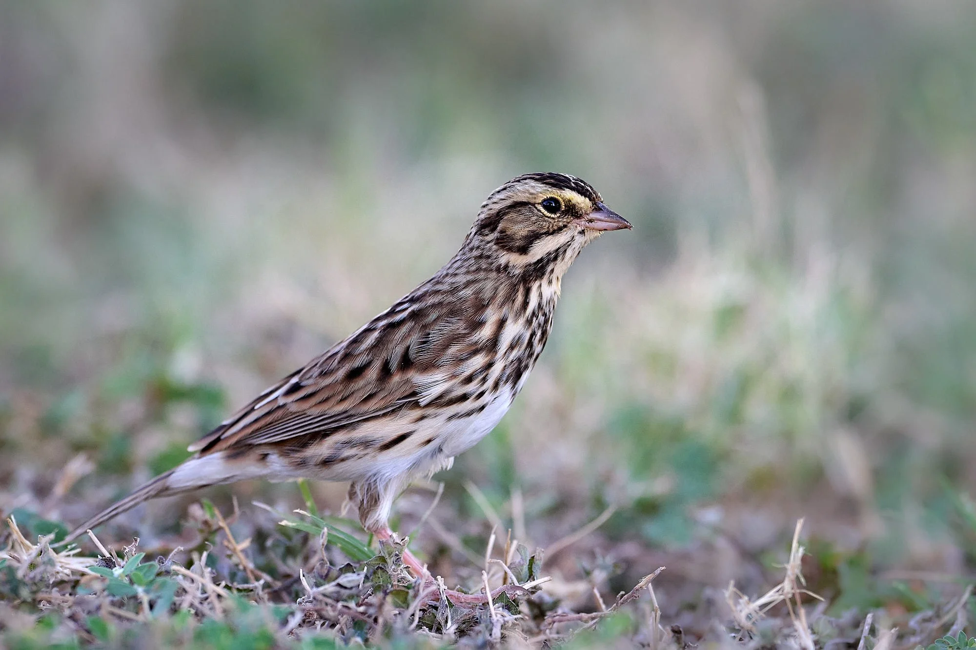
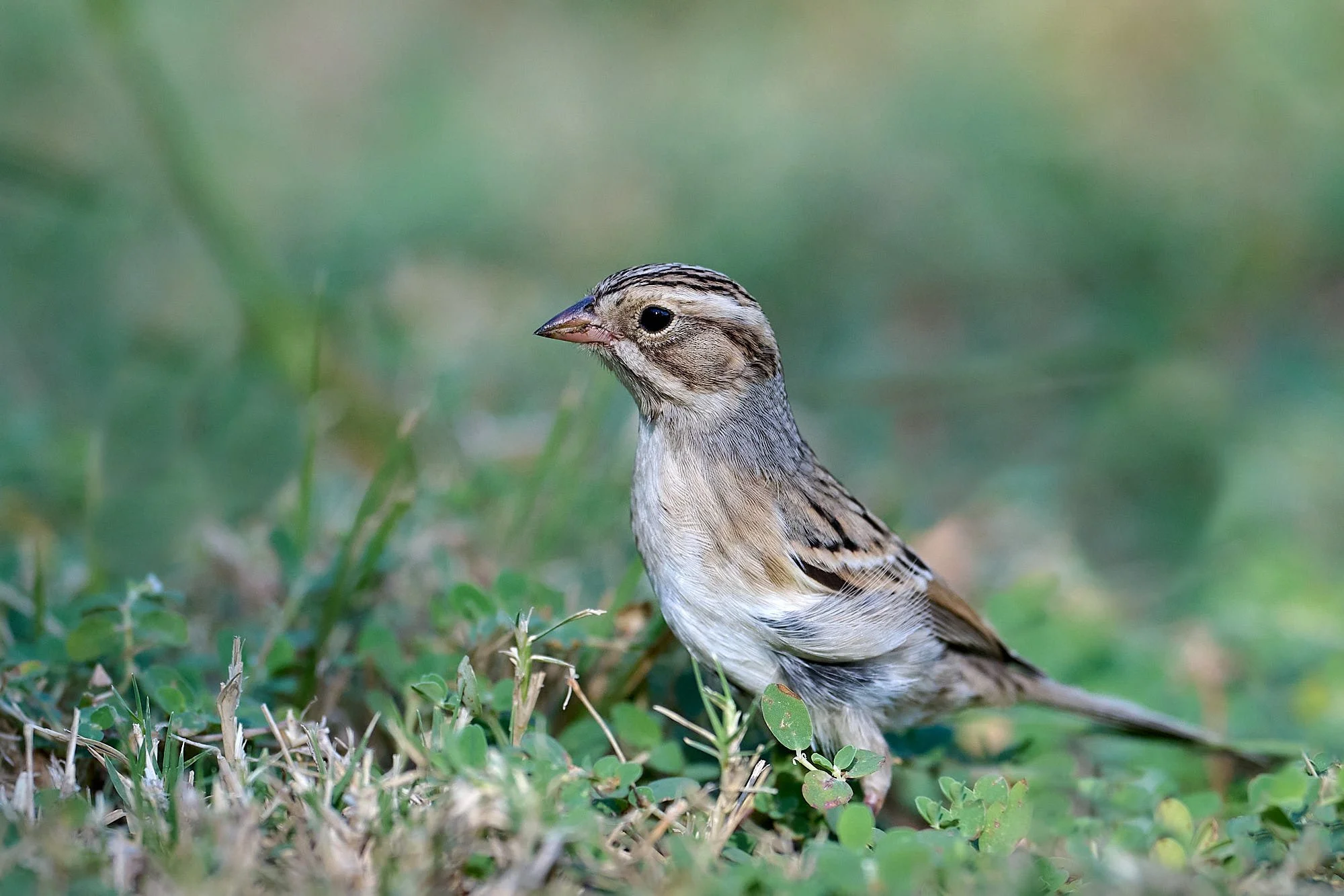
Lincoln’s Sparrow
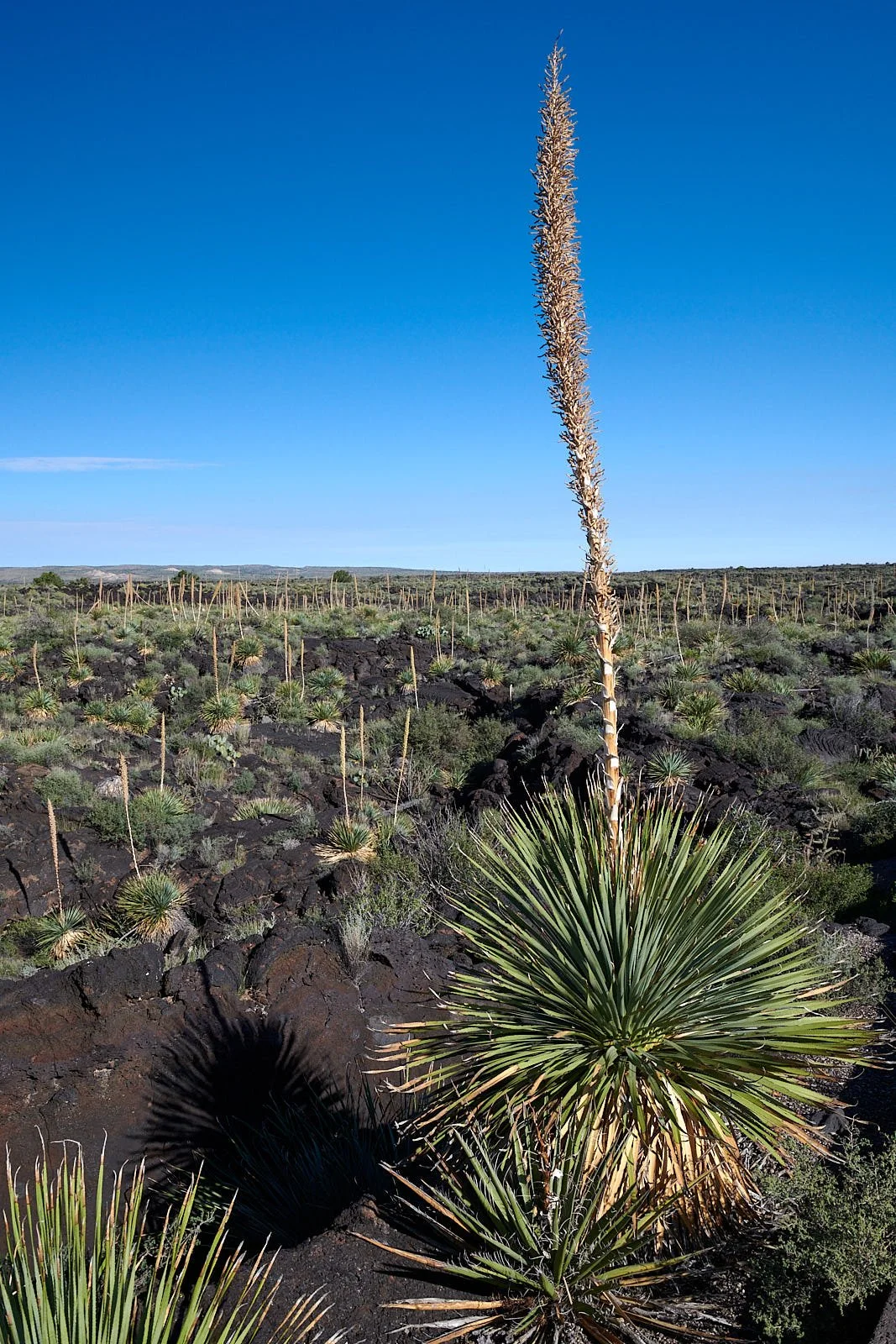
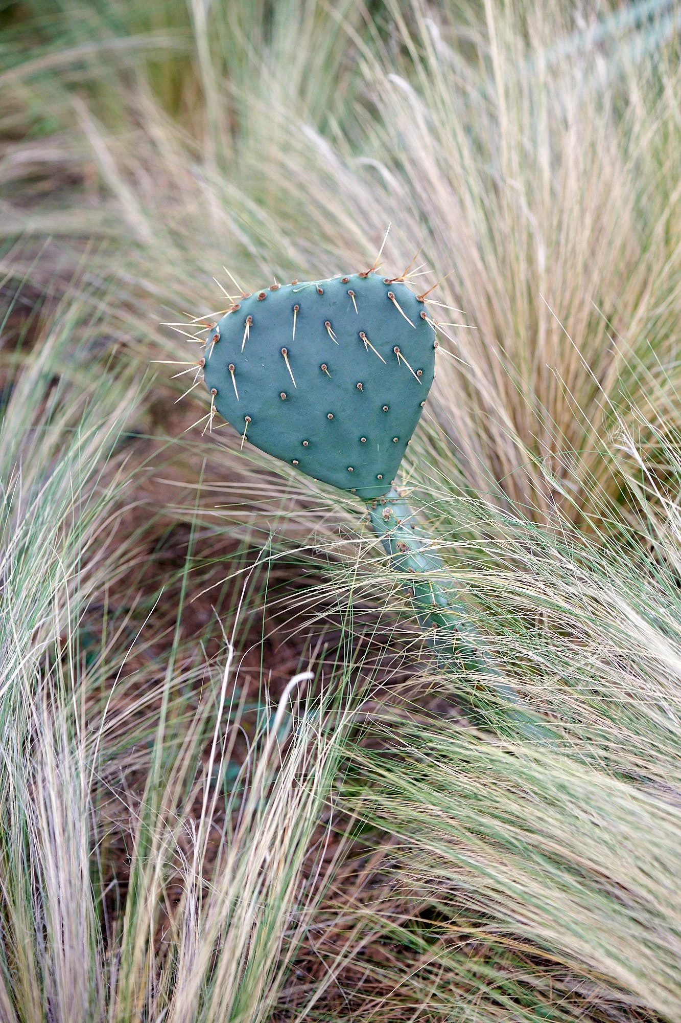
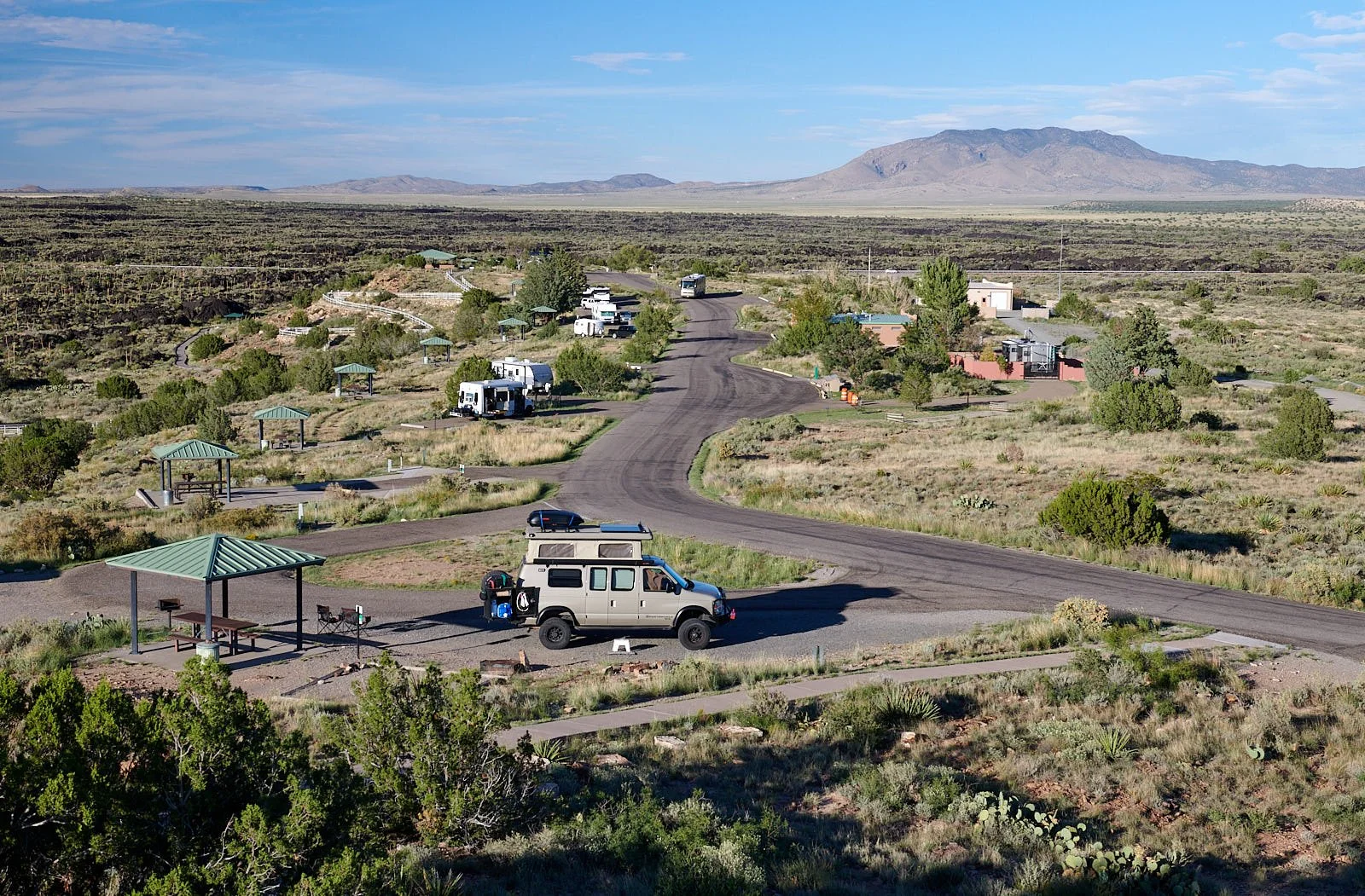
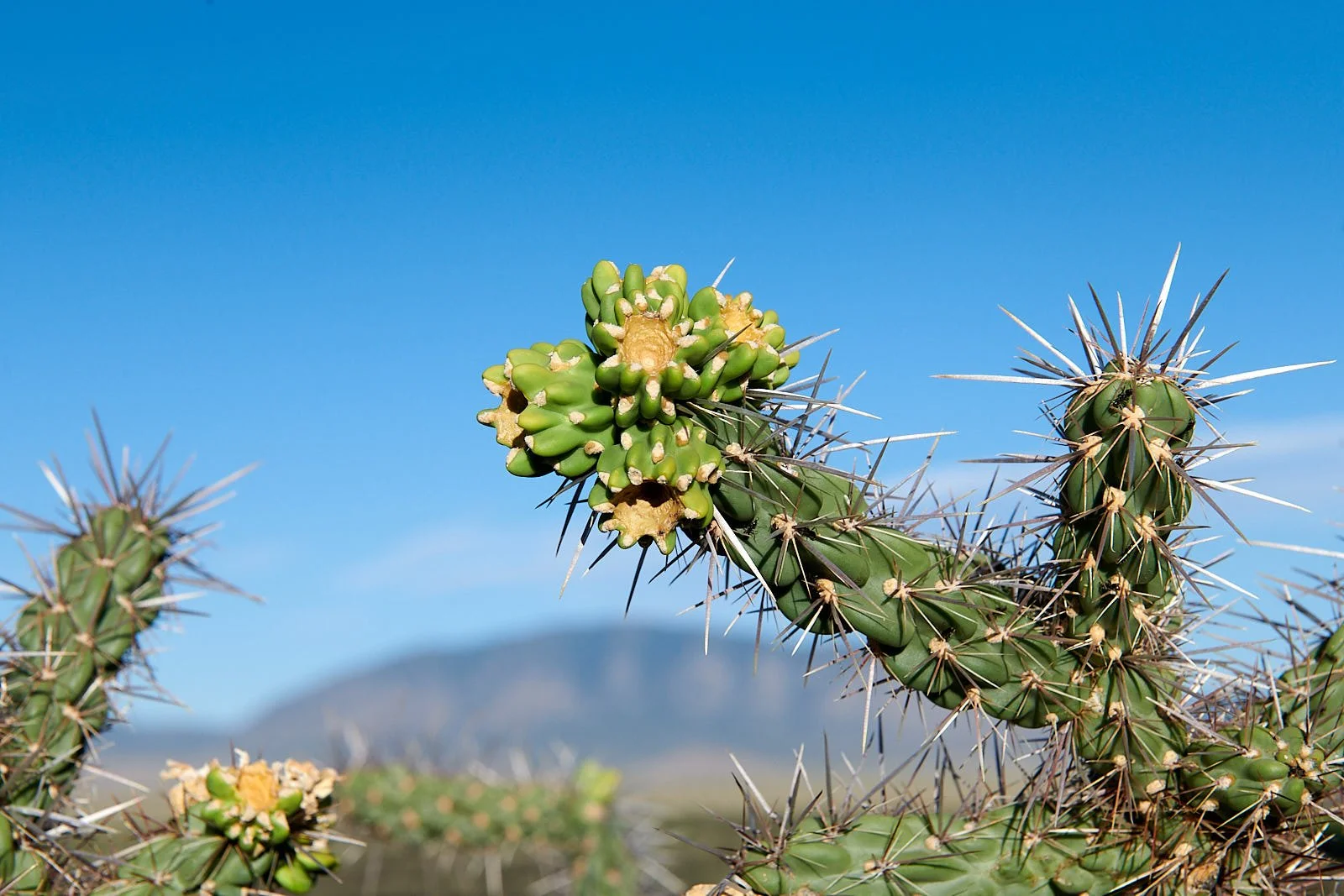
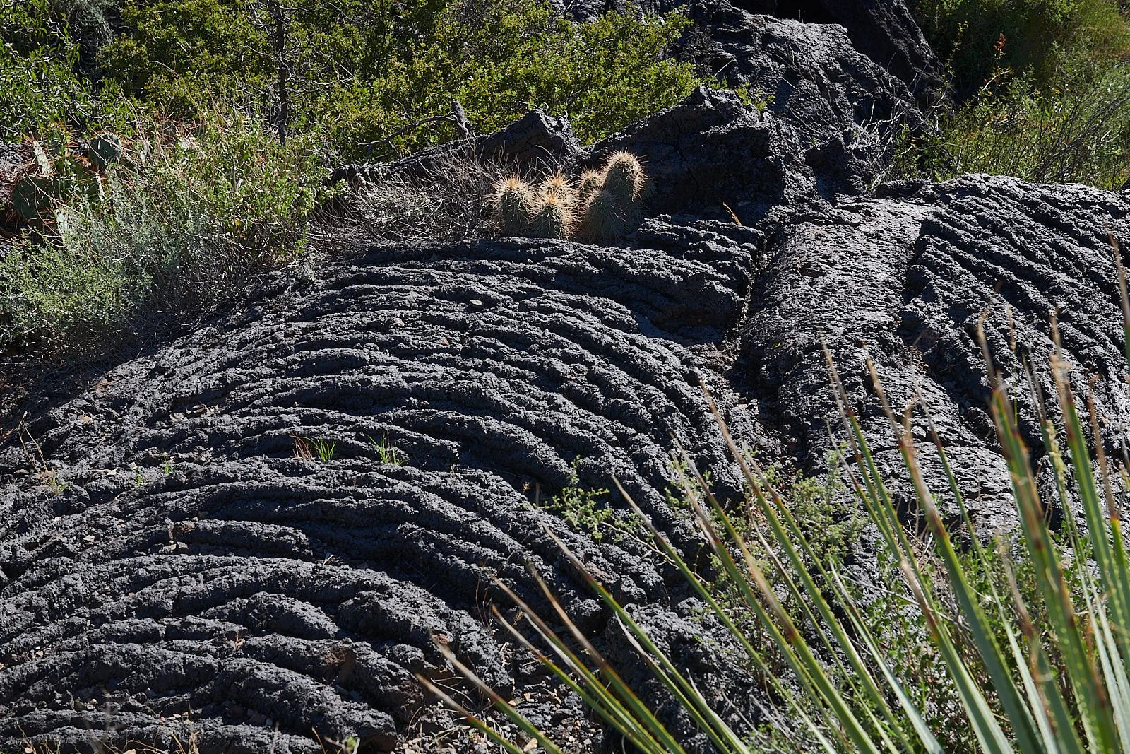
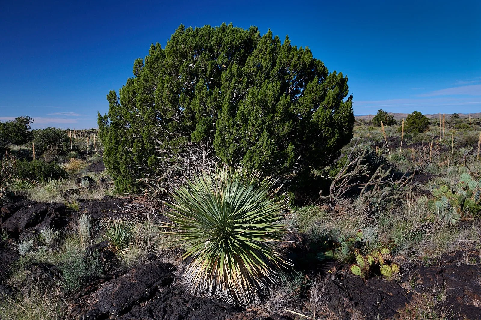
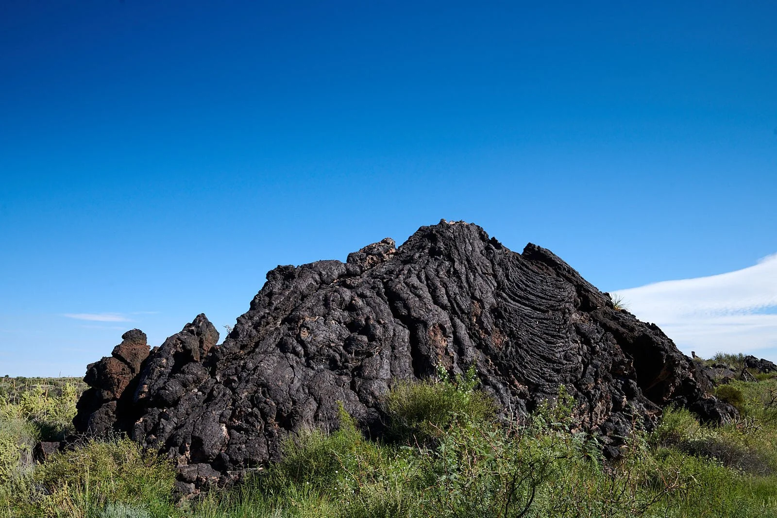
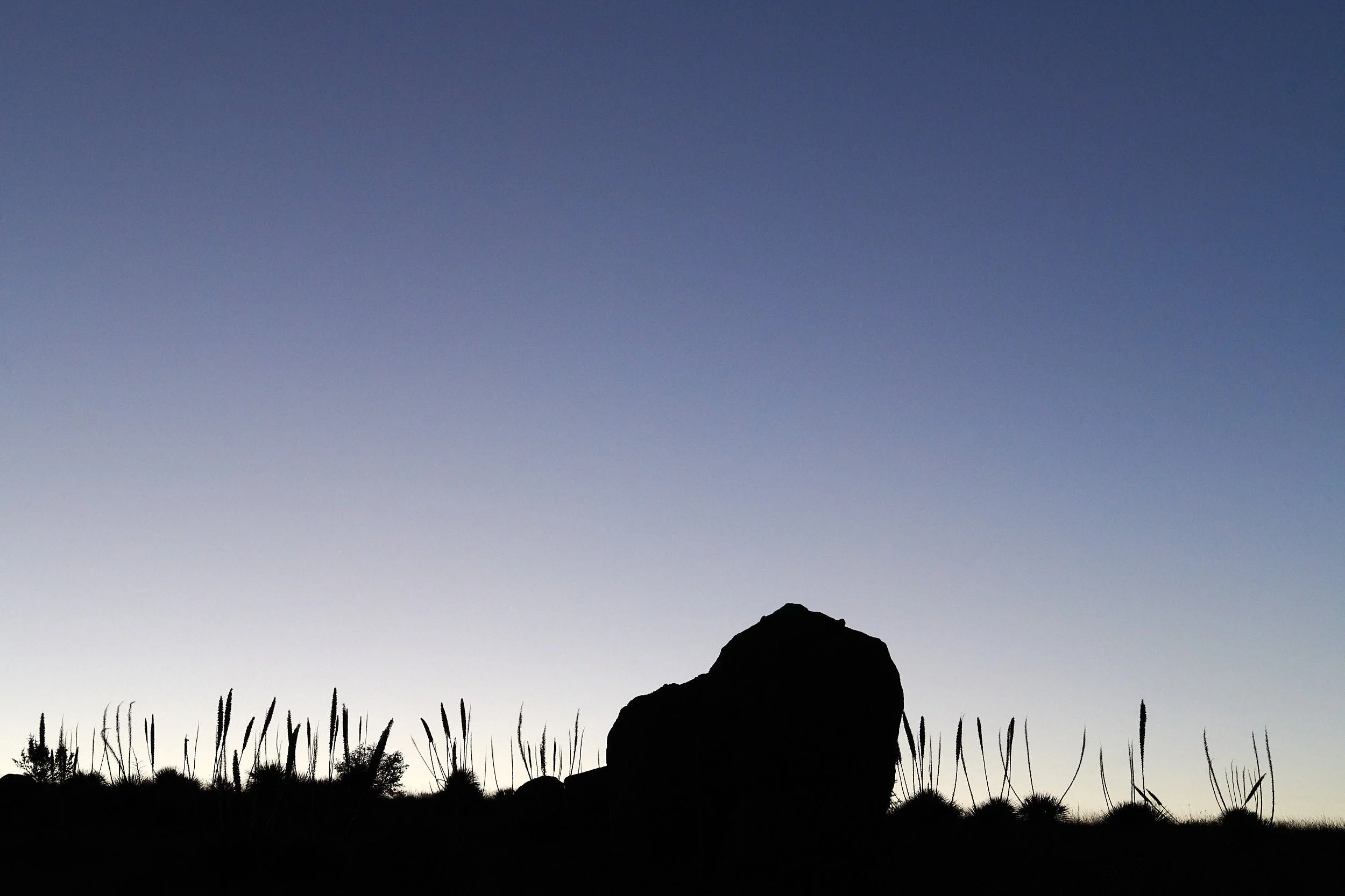
Valley of Fires
This BLM recreational area has a popular campground that is situated within the Carrizozo lava field which extruded from vents about 2,000 – 5,000 years ago. The Malpais Nature Trail snakes out westward onto the black basalt, offering a close-up experience of the harsh terrain.
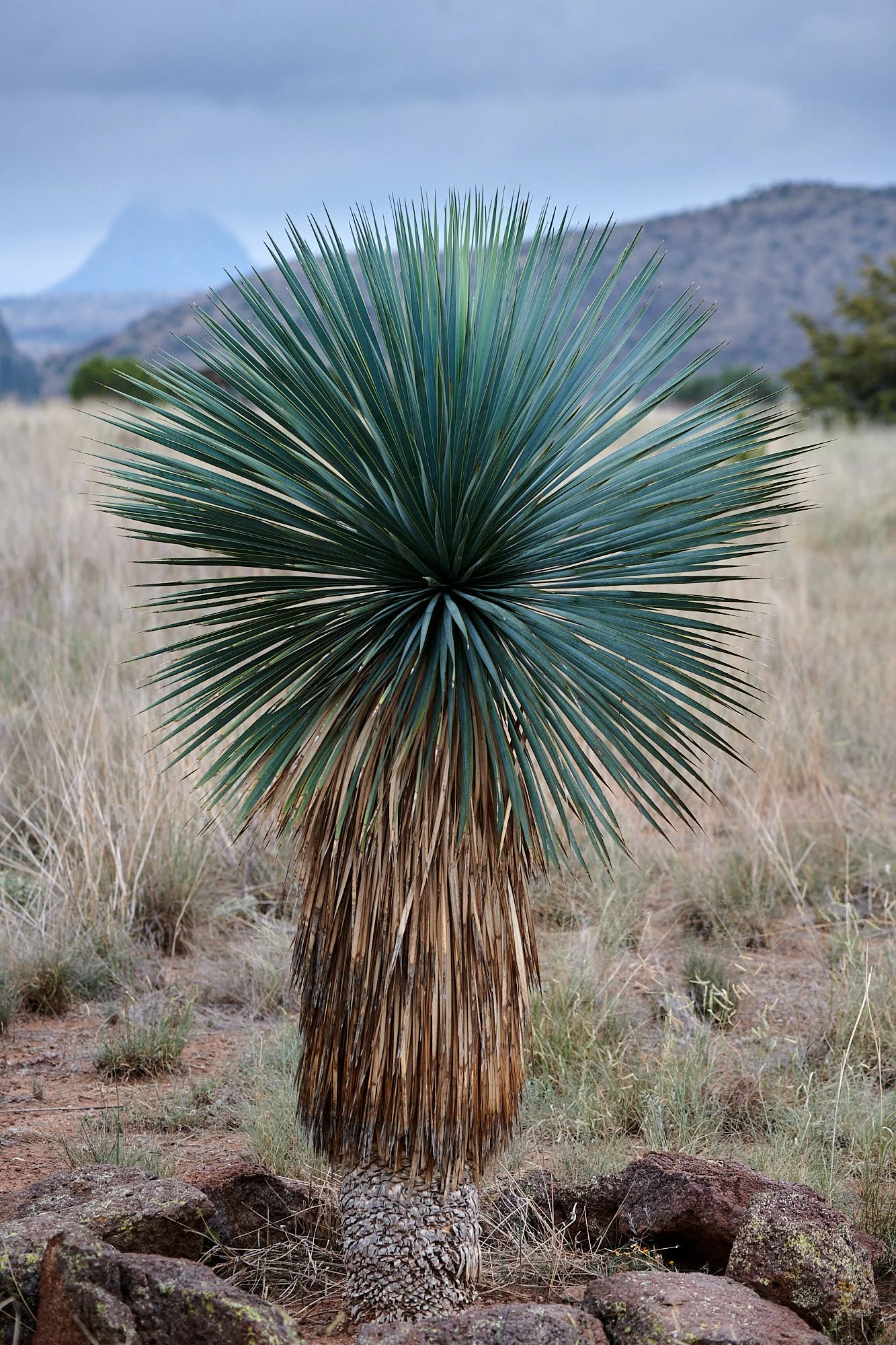
Sotol flowering among the lava.

Hot days in Texas.
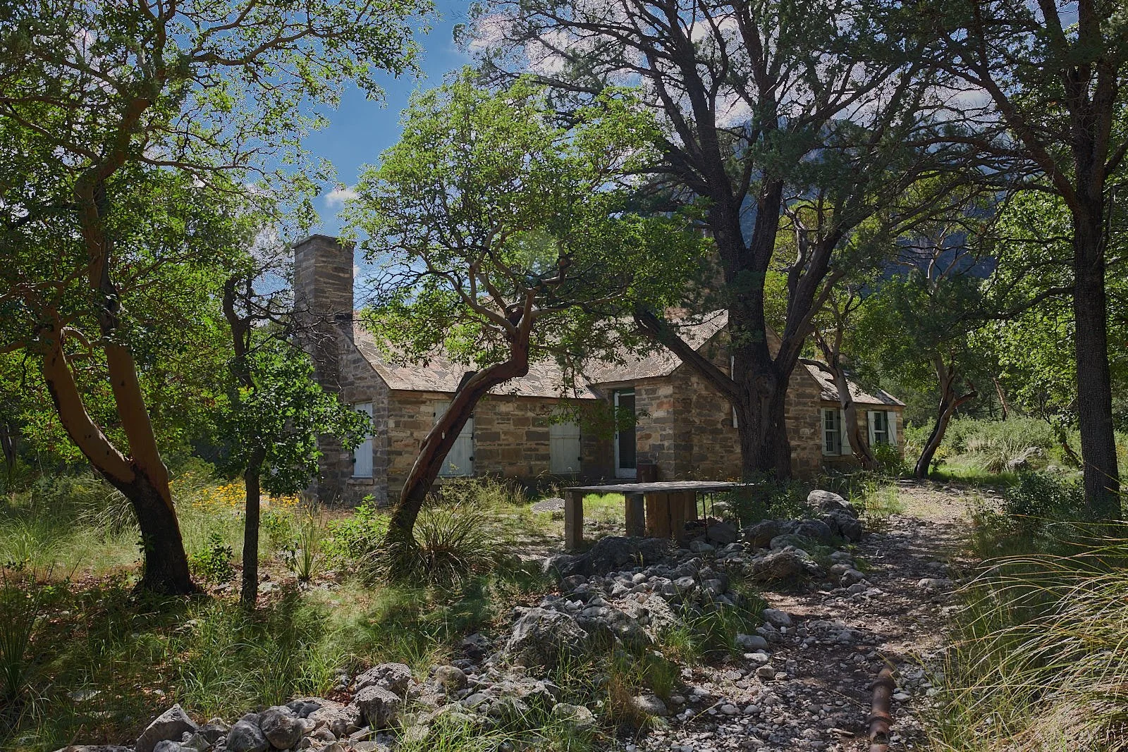
After leaving Valley of Fires, New Mexico we travelled east to Roswell and then south, through a degraded landscape of overgrazed ranchland and oil fields to Guadalupe National Park, Texas. The Park’s RV campground was merely a crowded parking lot so we backtracked to New Mexico and camped on BLM property. (Texas lacks BLM land.)
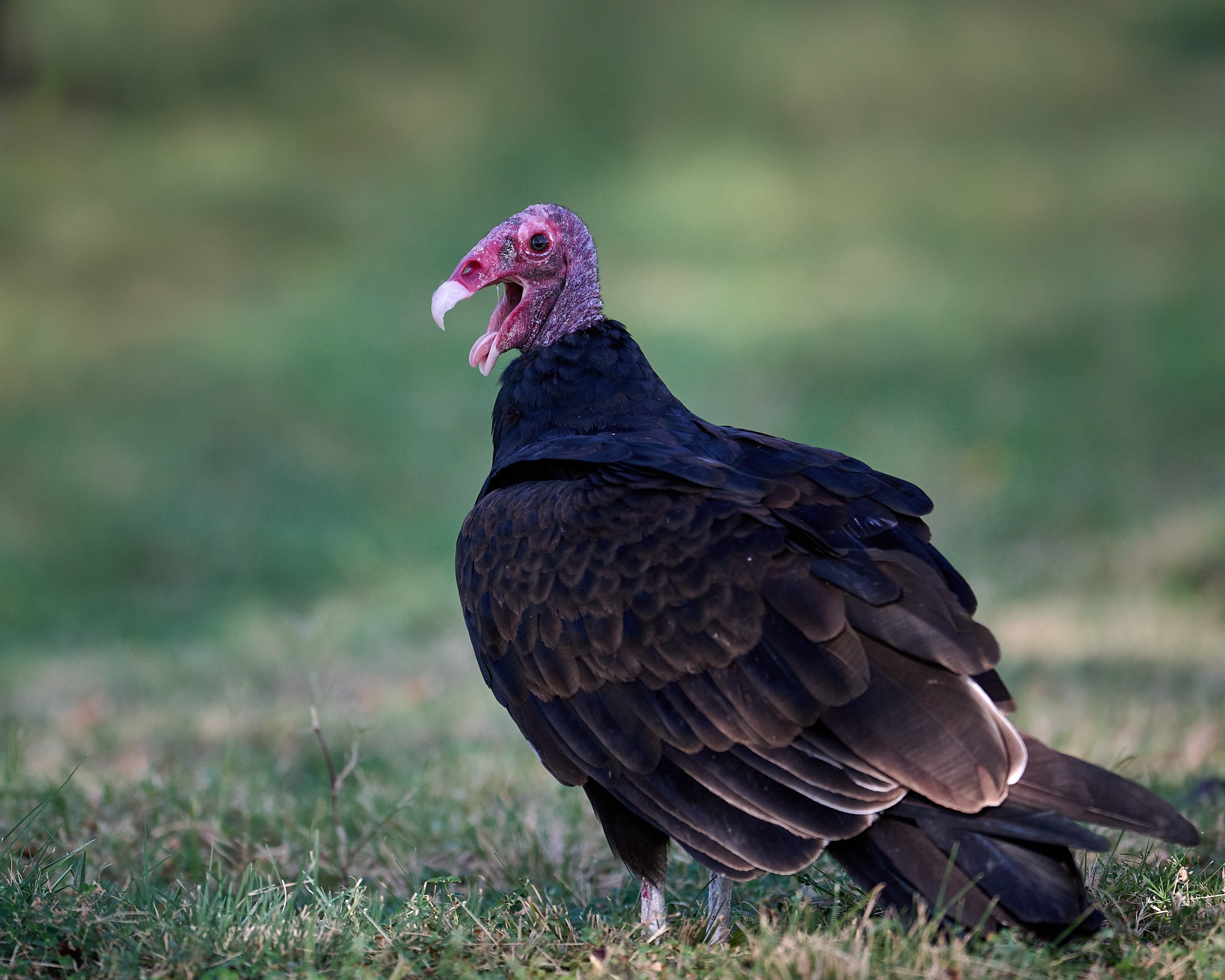
Turkey Vulture
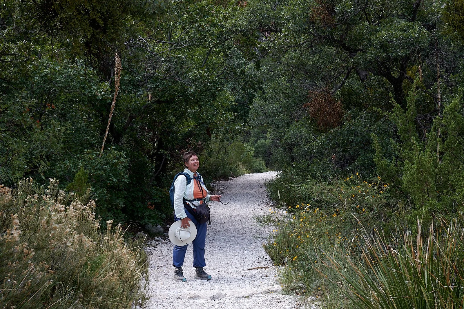
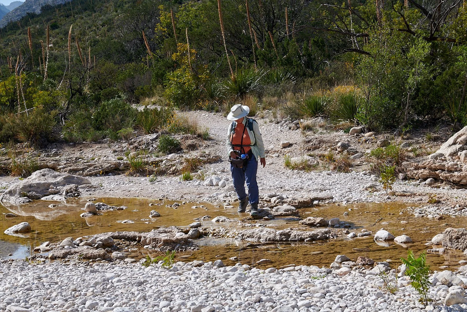
McKittrick Canyon, Guadalupe National Park, Texas
The hike in Guadalupe’s McKittrick Canyon to Wallace Pratt cabin took us deep into the Earth’s past. During the Permian period (251 to 299 million years ago), all of the continents were joined together, forming the supercontinent of Pangea. A vast ocean surrounded Pangea, but a narrow inlet, the Hovey Channel, connected the ocean with the Permian Basin, an inland sea.
The Permian Basin had three arms. The middle arm (150 miles long and 75 miles wide) contained the Delaware Sea which covered what is now Western Texas and Southeastern New Mexico. The Capitan Reef formed during the middle Permian Period on the edge of the Delaware Sea and thrived until about 260 million years ago when environmental conditions changed. The reef became buried in sediment but was re-exposed during tectonic uplifting about 20-30 million years ago to form the Guadalupe Mountains.
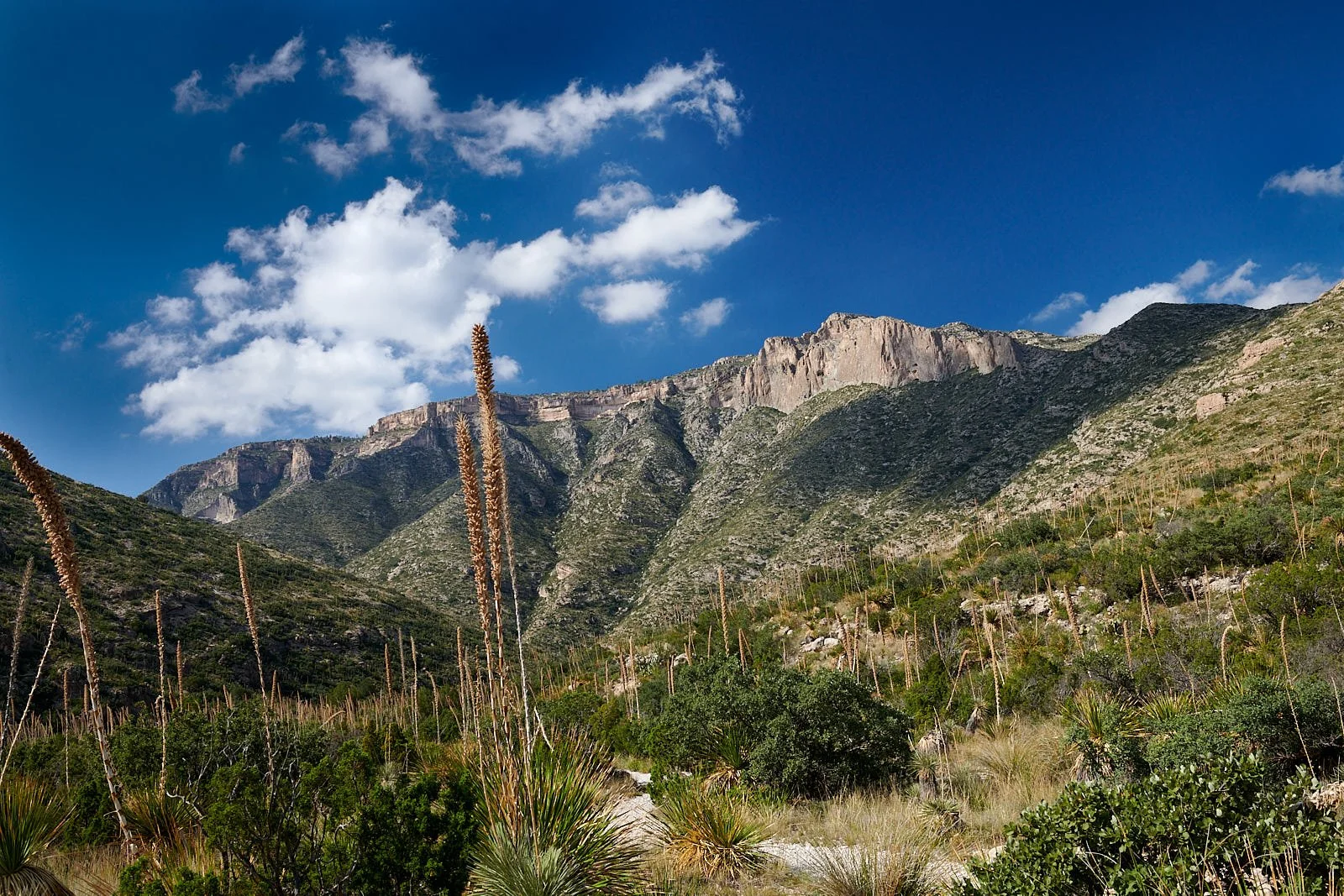
Capitan Reef
Capitan Reef was formed primarily by algae and microbes, unlike today’s reefs which are built by animals called coral polyps. Sponges were also present at Capitan Reef. The rocky bottom of the Delaware Sea supported a rich diversity of Permian creatures.
However, around 252 million years ago, the End-Permian mass extinction - the greatest of all time - eliminated of about 81% of all species on Earth. The cause is attributed to global warming. Horn corals and trilobites became extinct, along with certain groups of brachiopods, crinoids, bryozoans, ammonoids, and nautiloids. Sponges came near extinction, and many groups of algae died out. Fortunately, their existence is immortalized in the rich fossil deposits of Capitan Reef and can be discovered while ambling down the McKittrick trail.
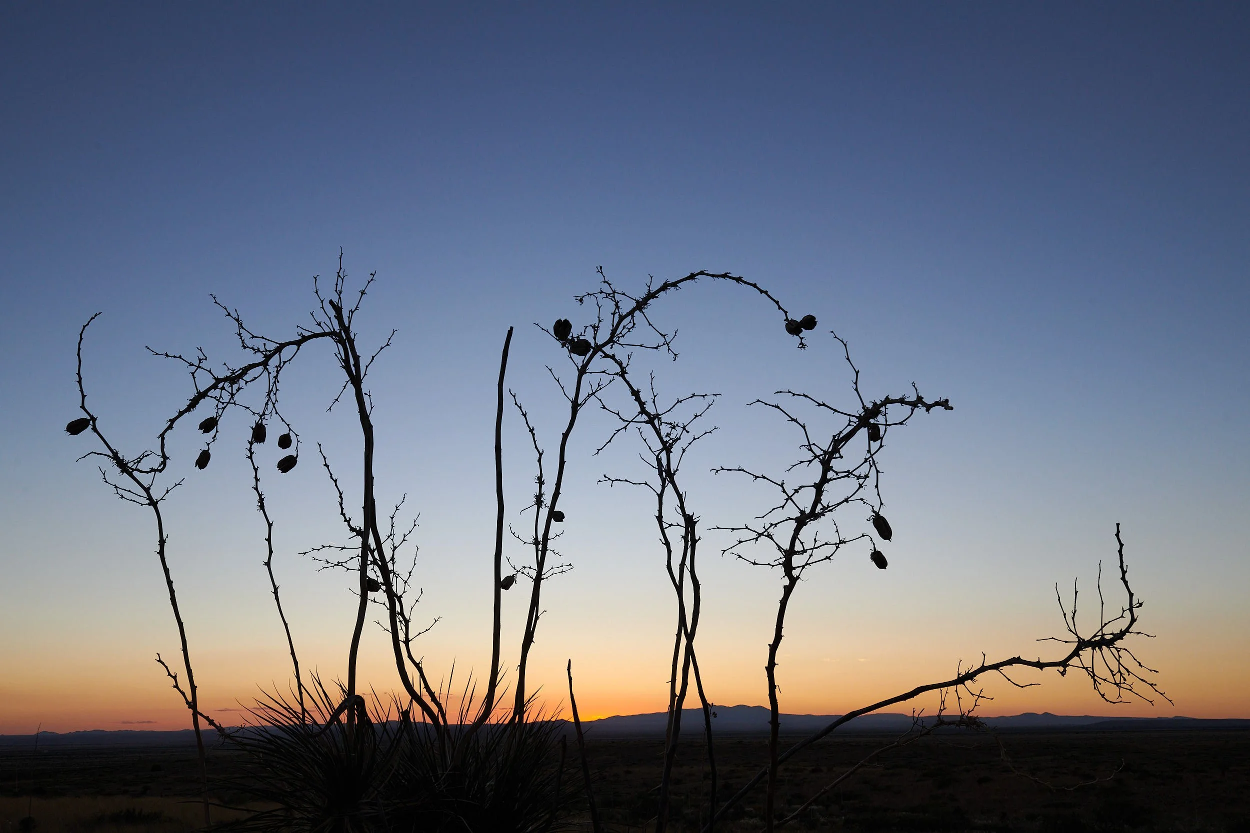
Nine Point Draw, Big Bend National Park, Texas.
After Guadalupe, we drove to Big Bend National Park and camped at Nine Point Draw. Nine Point Draw is a large drainage area that enters the northern Park border via Dog Canyon, and 3 miles later, empties into Maravillas Creek.
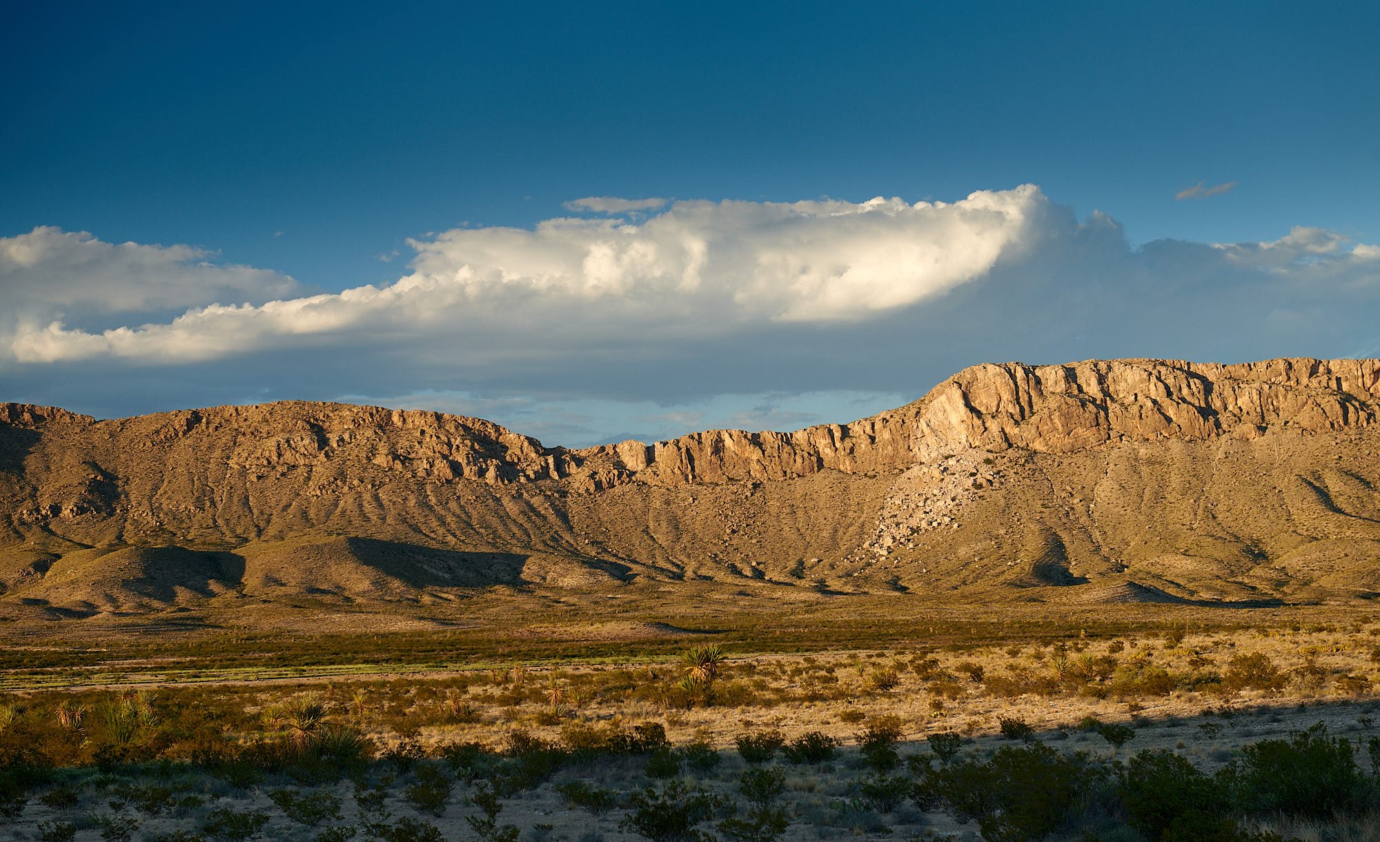
Santiago Range looming above a small section of Nine Point Draw.

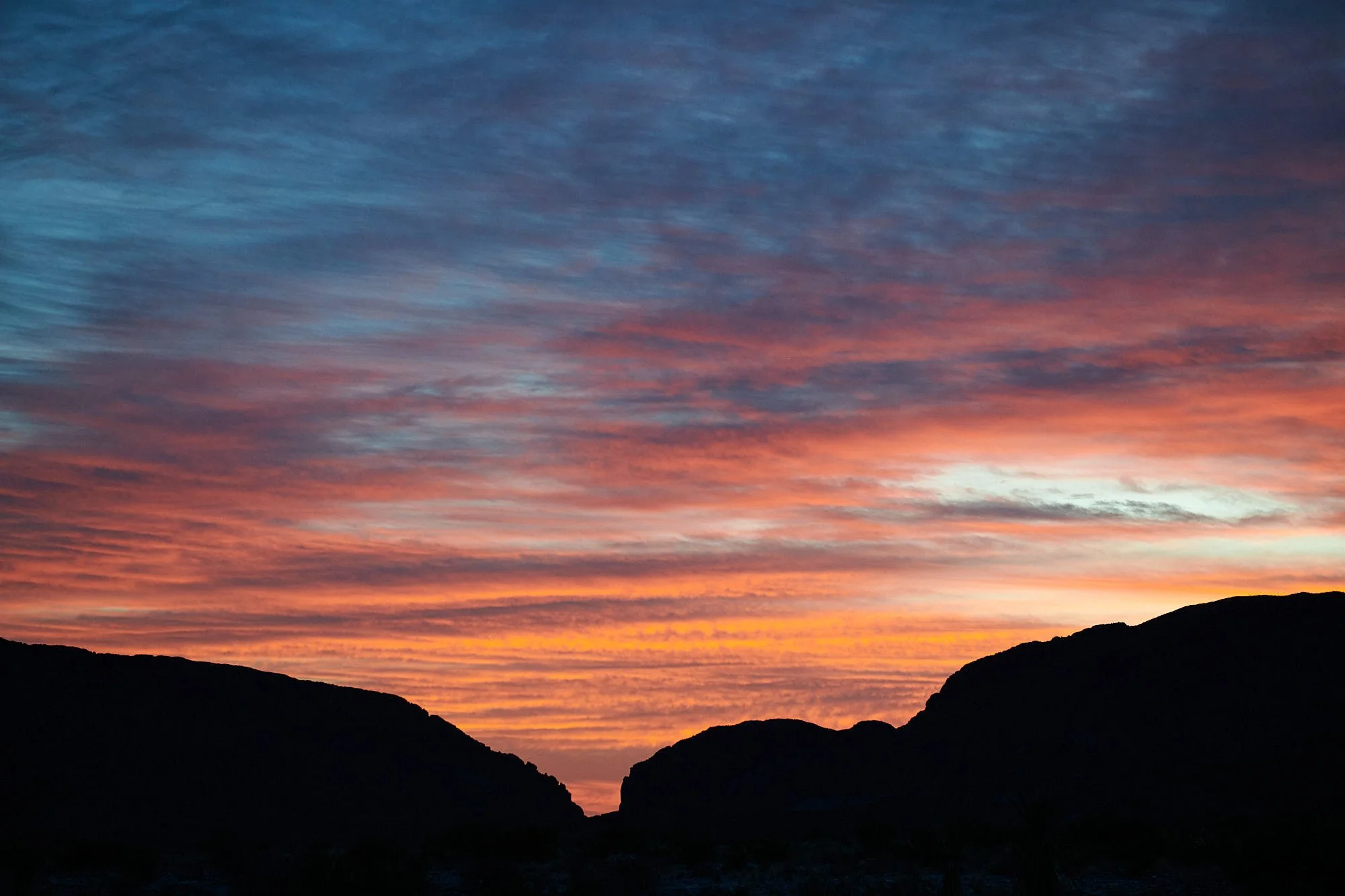
Left: Camp, not much shade. Right: Dog Canyon sunset.
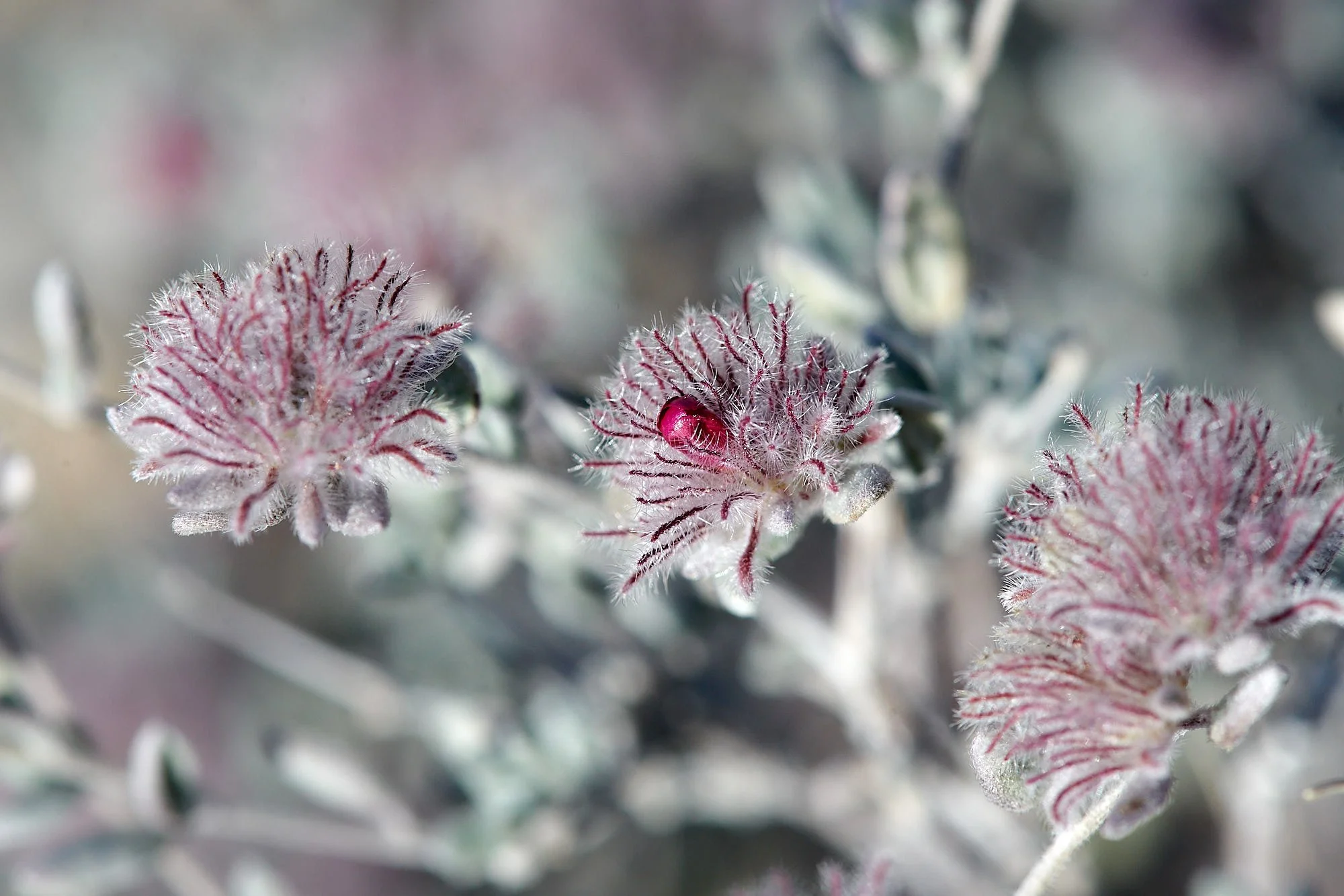
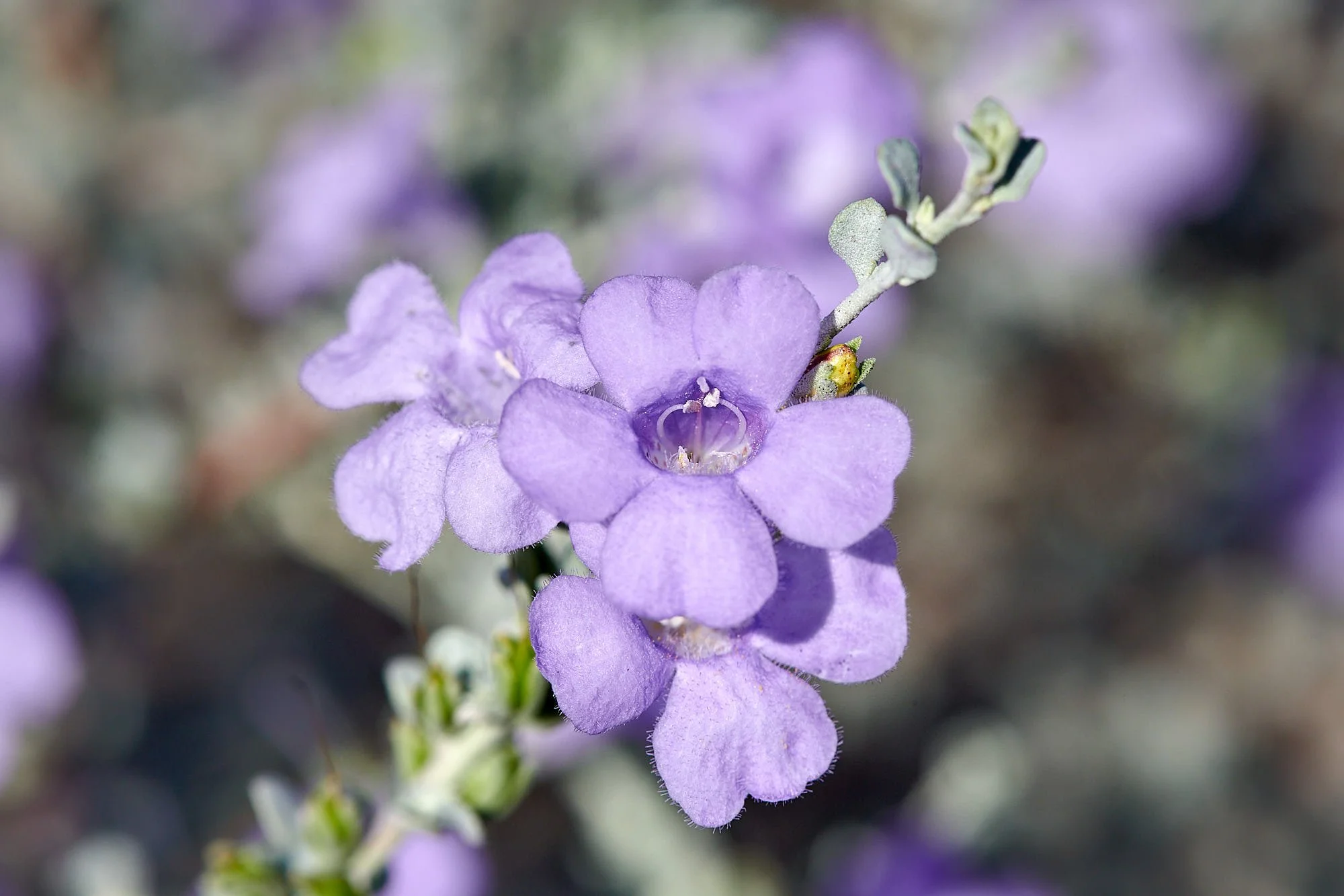
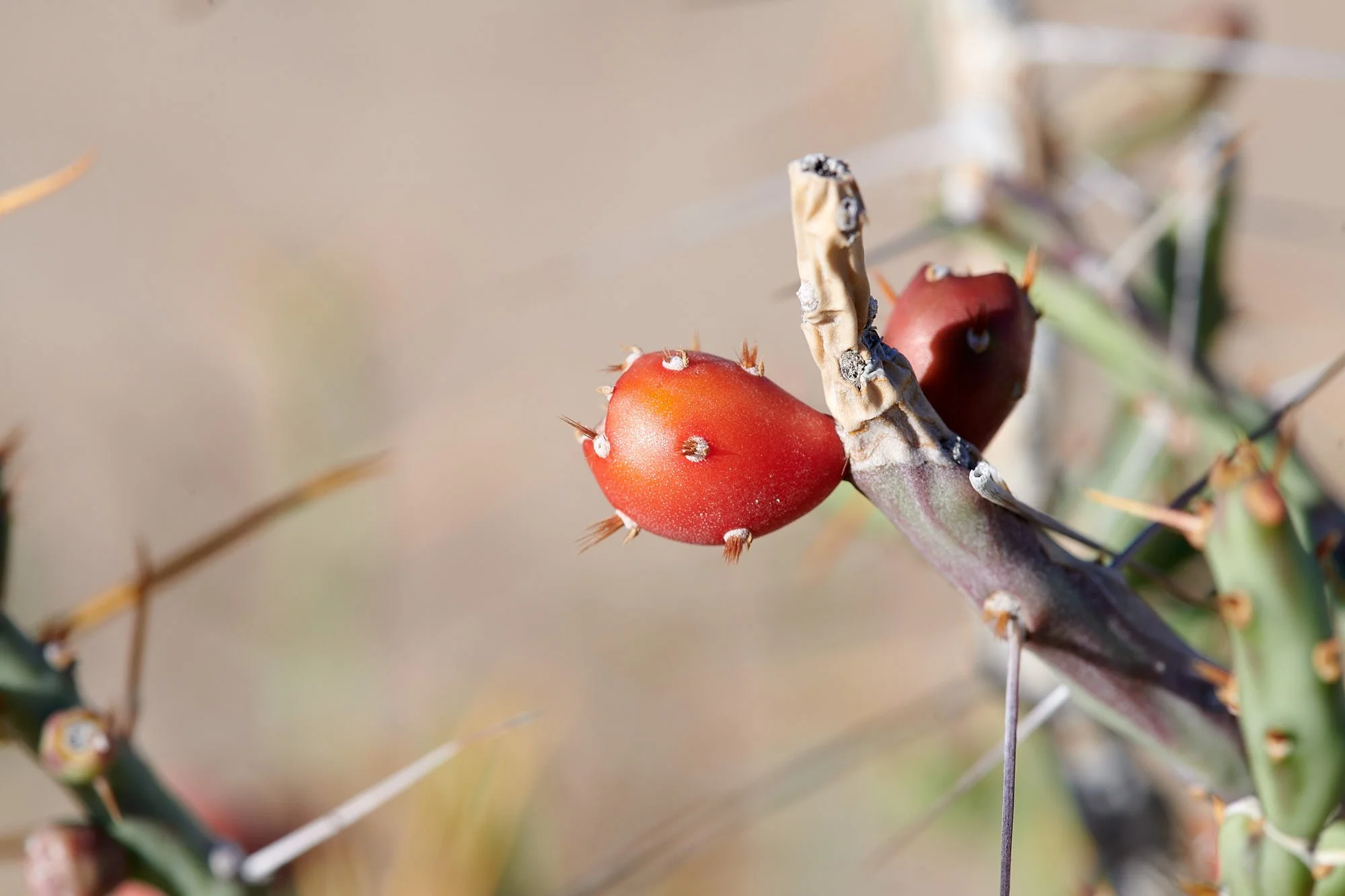
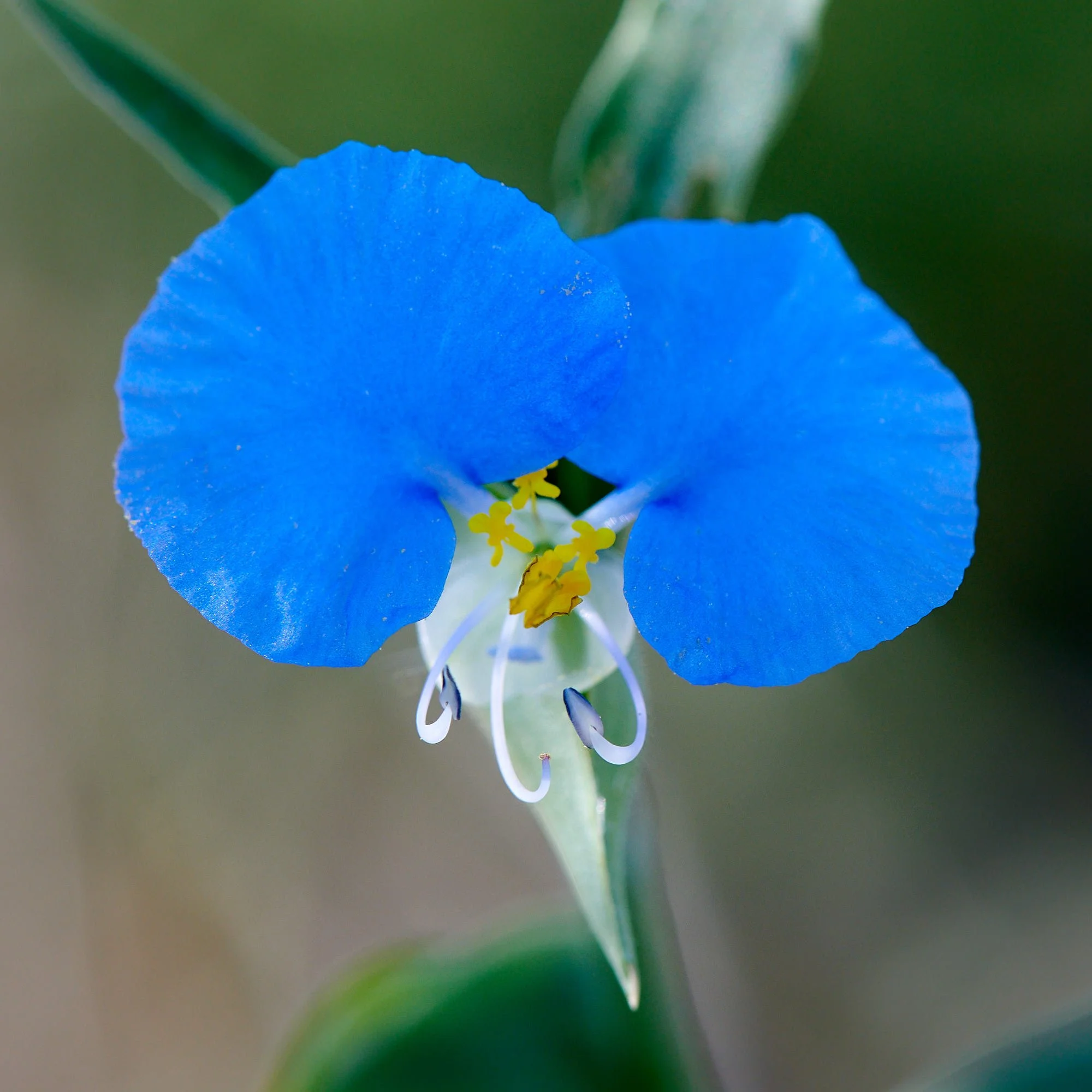
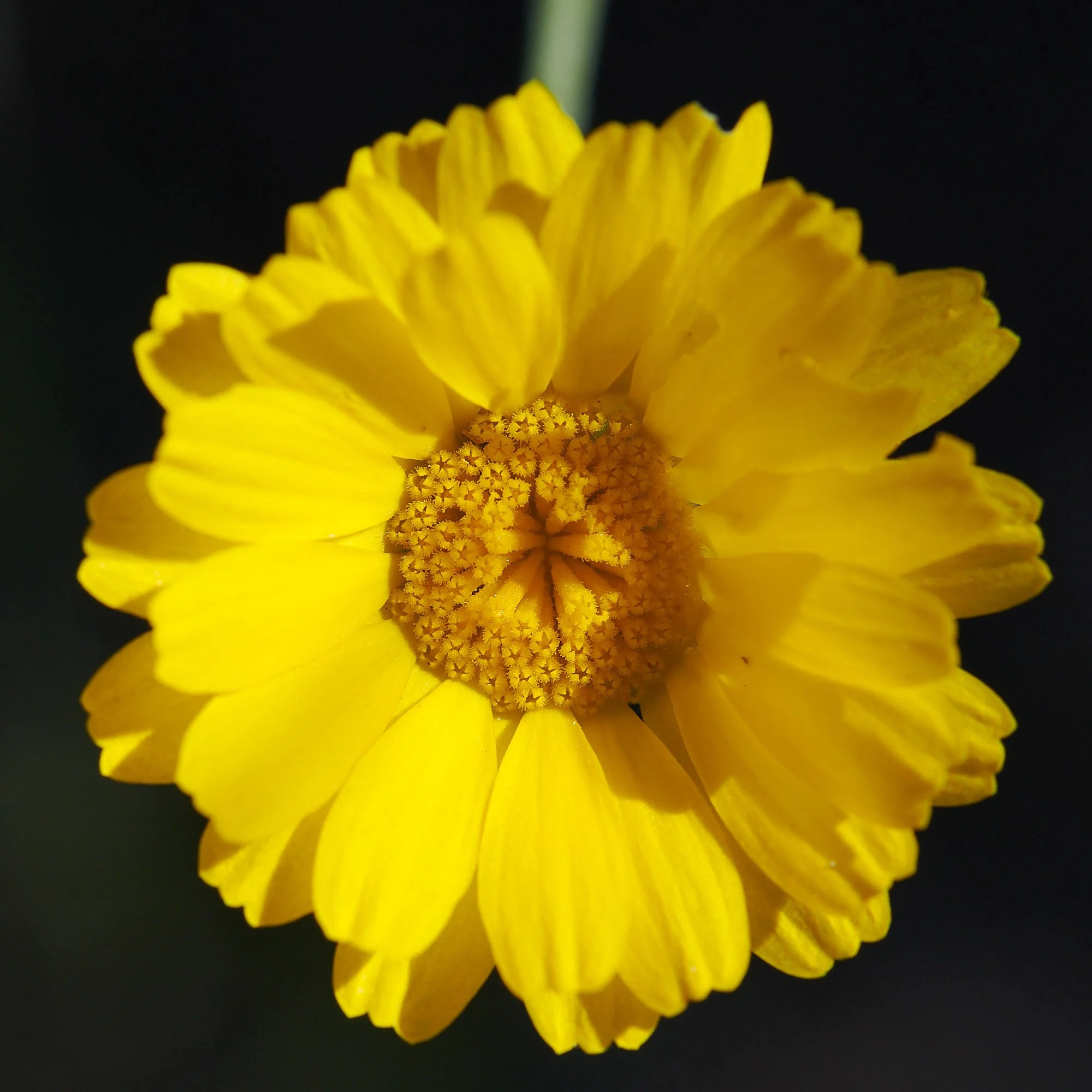
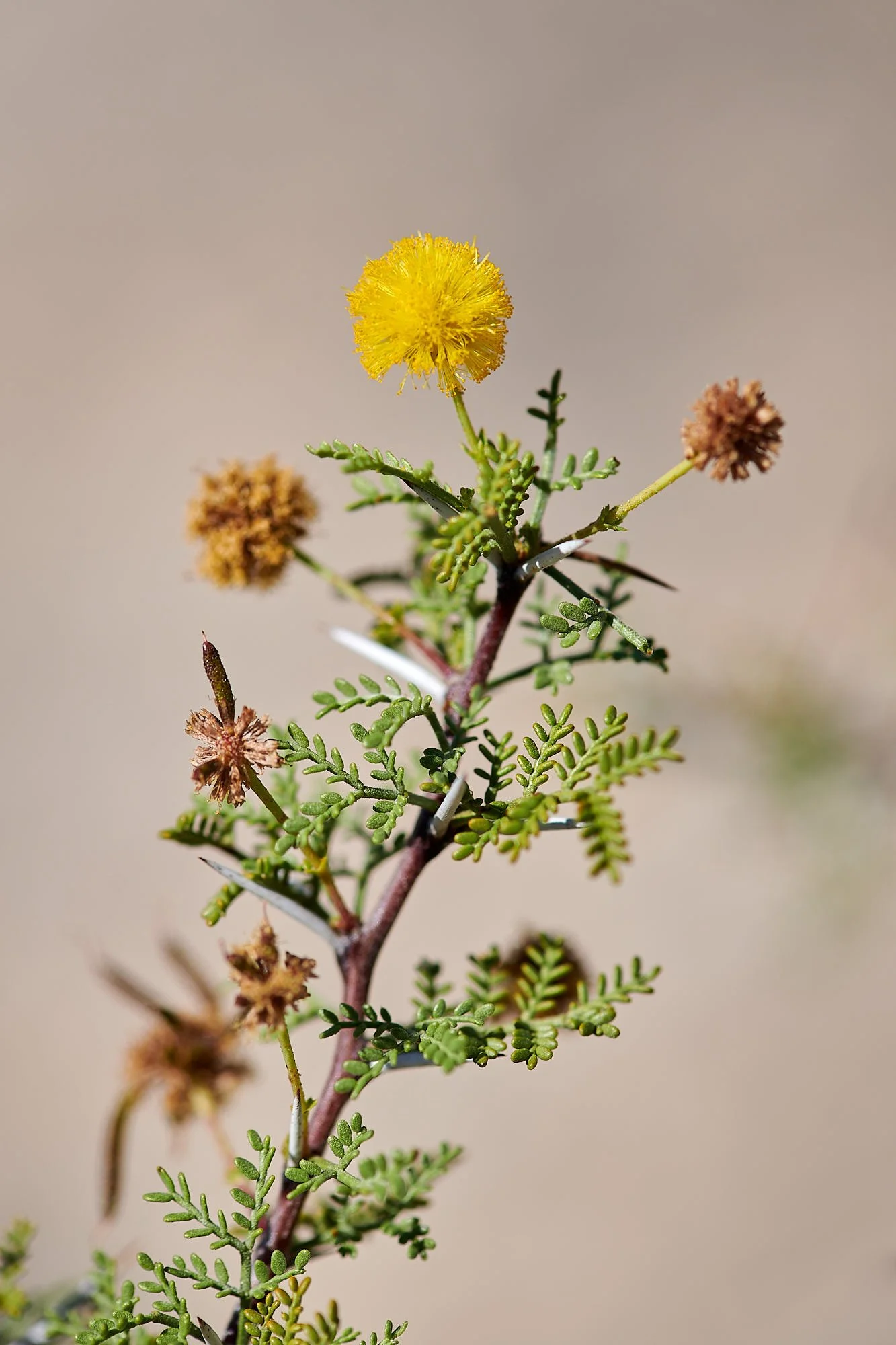
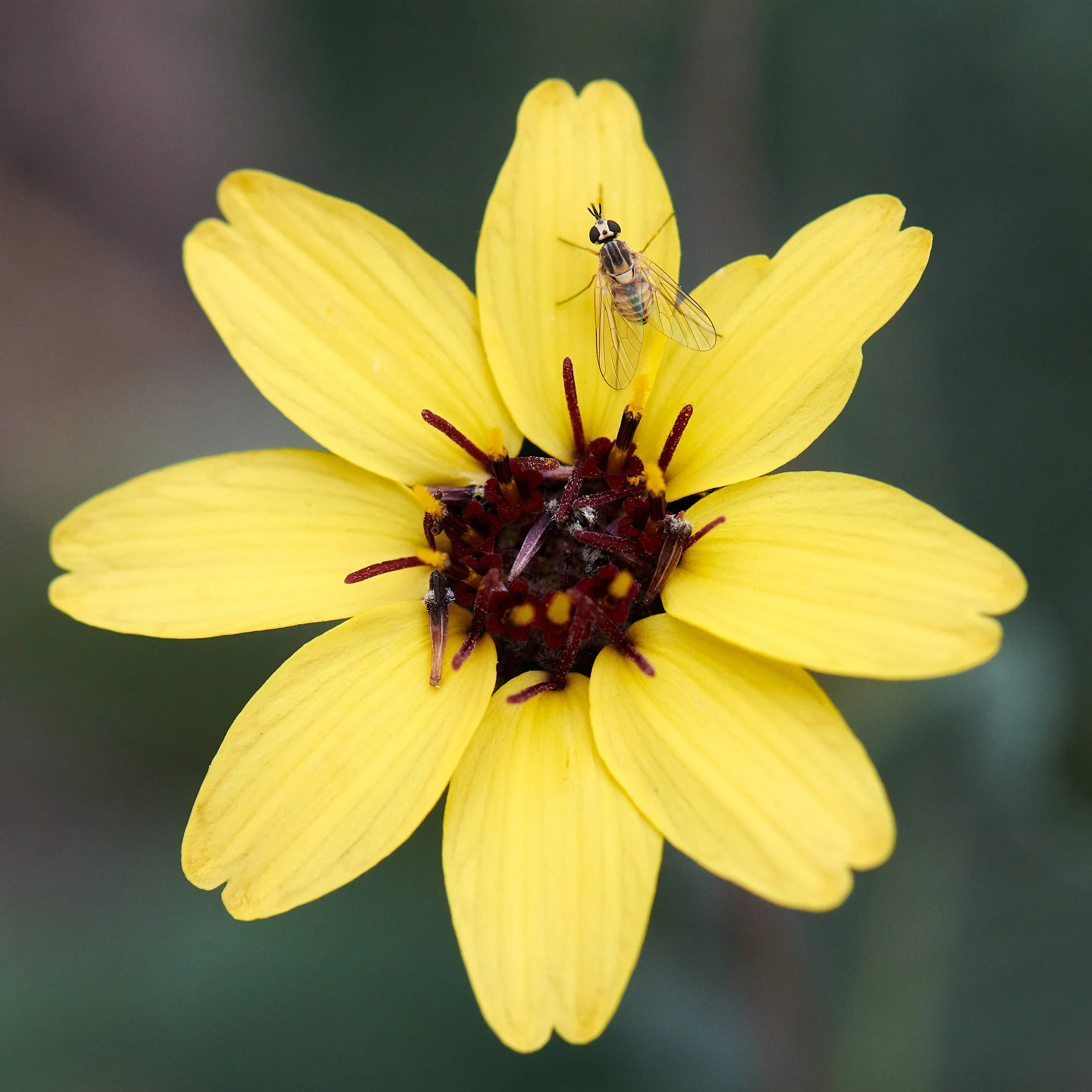
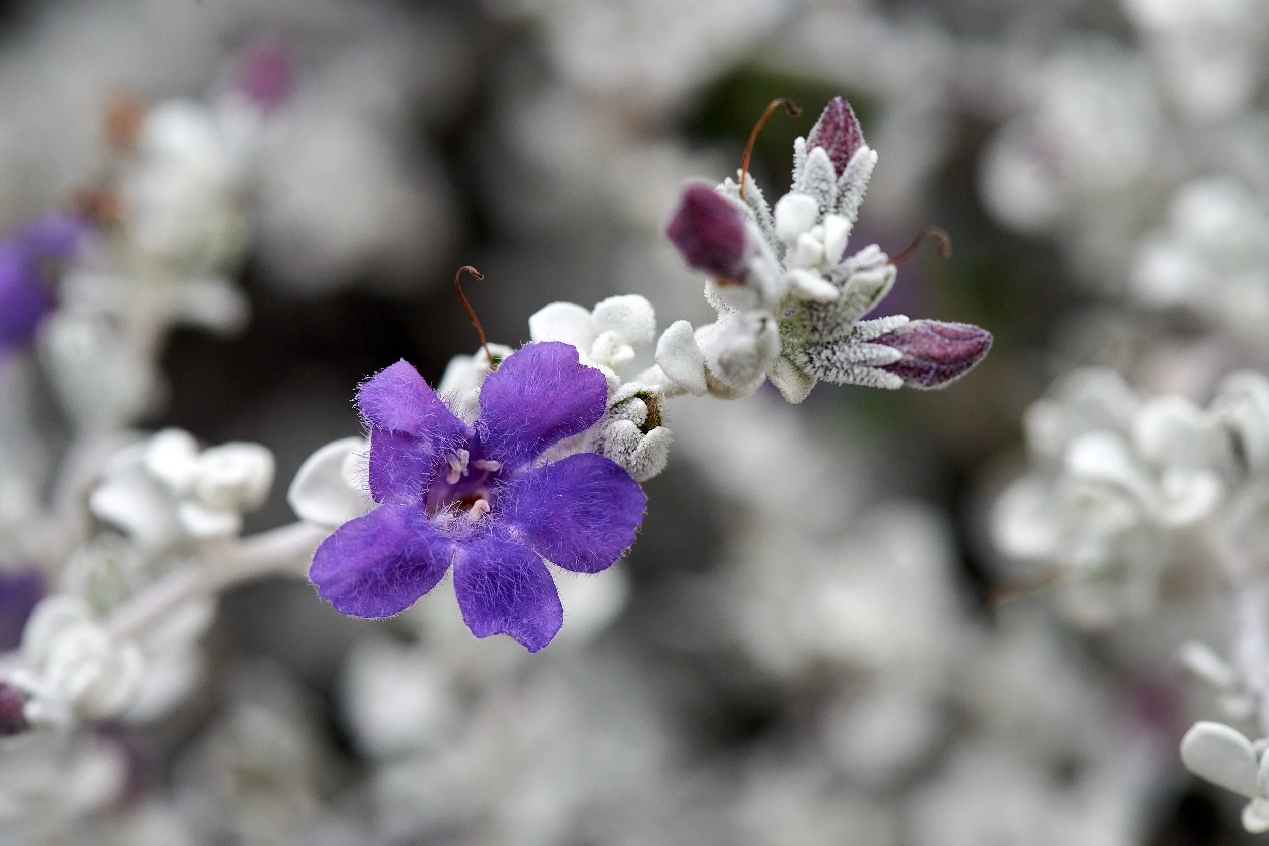
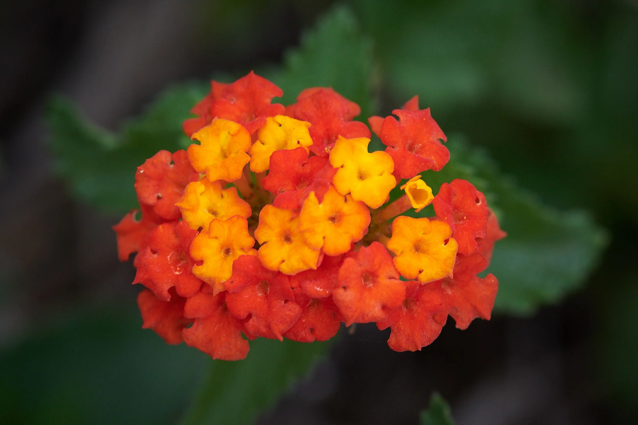
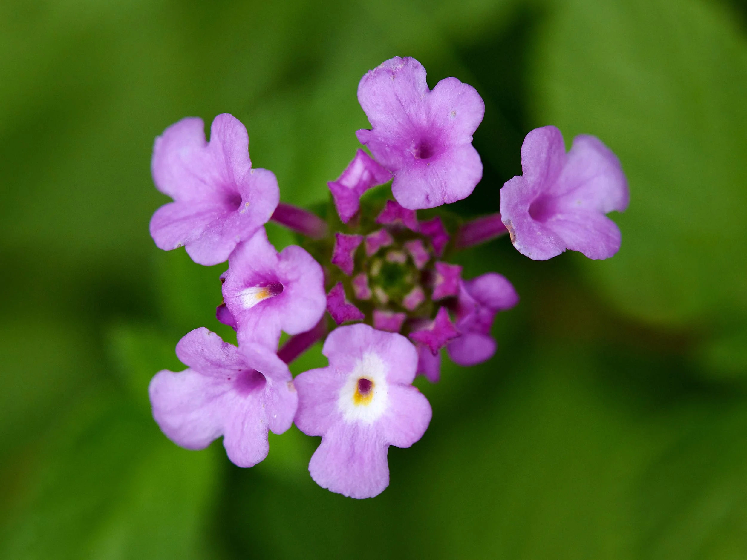
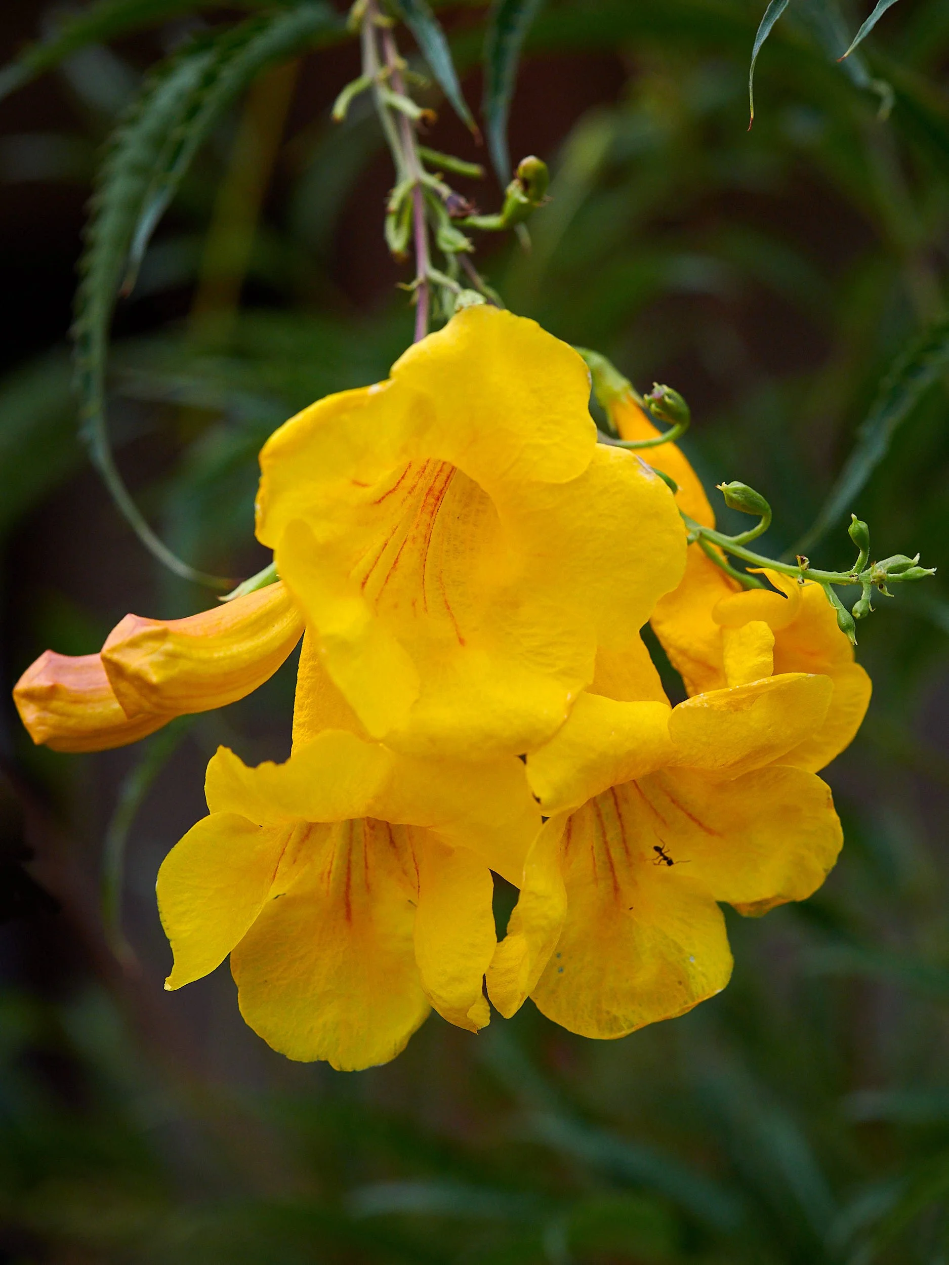
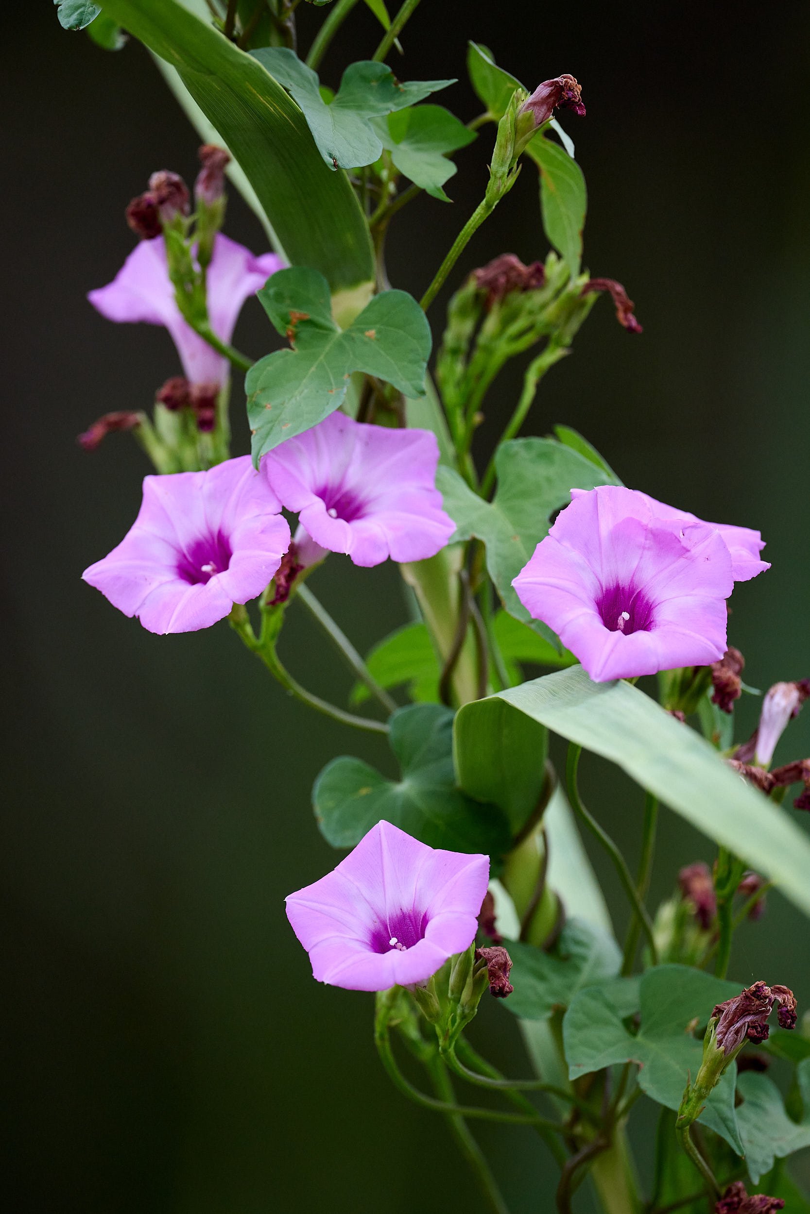
Although the monsoon hadn’t materialized and daily temperatures regularly exceeded 100 °F during our stay, the scenery remained relatively green because of the abundant winter/spring rains. Although the flower display was muted, there were some perennial treasures to admire.

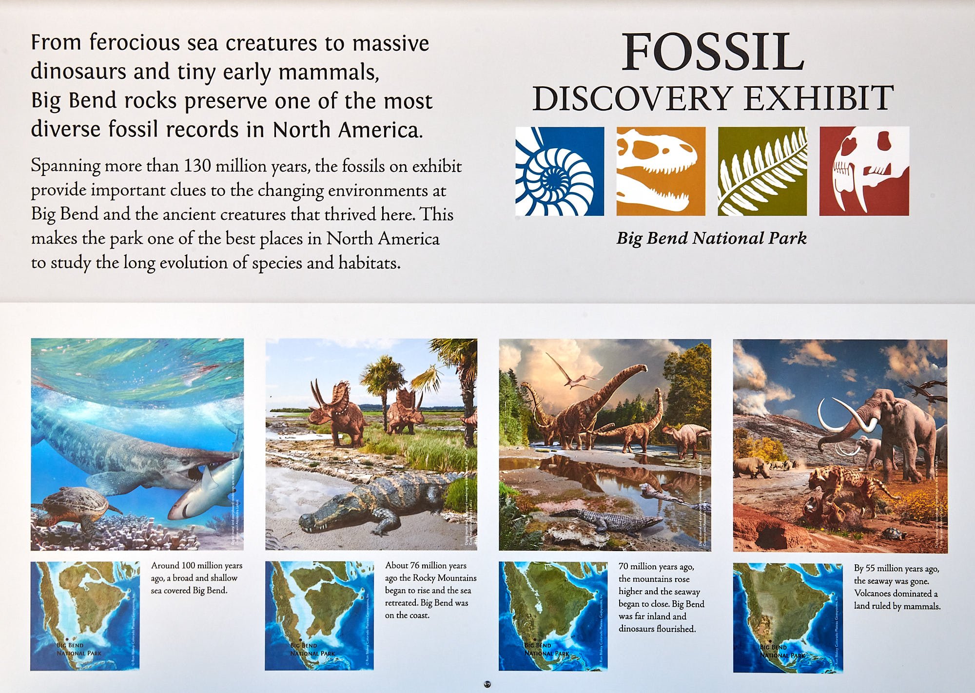
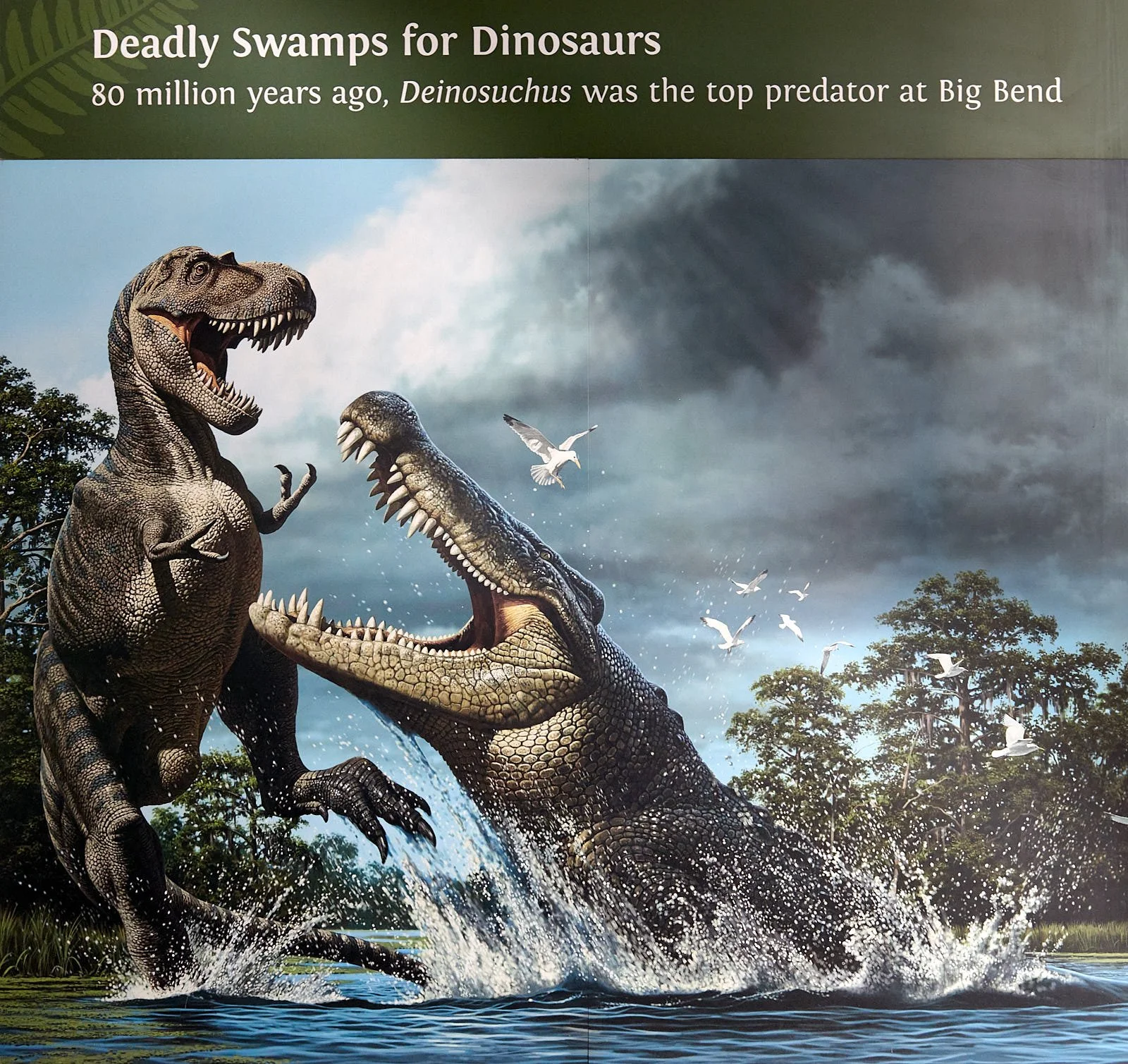
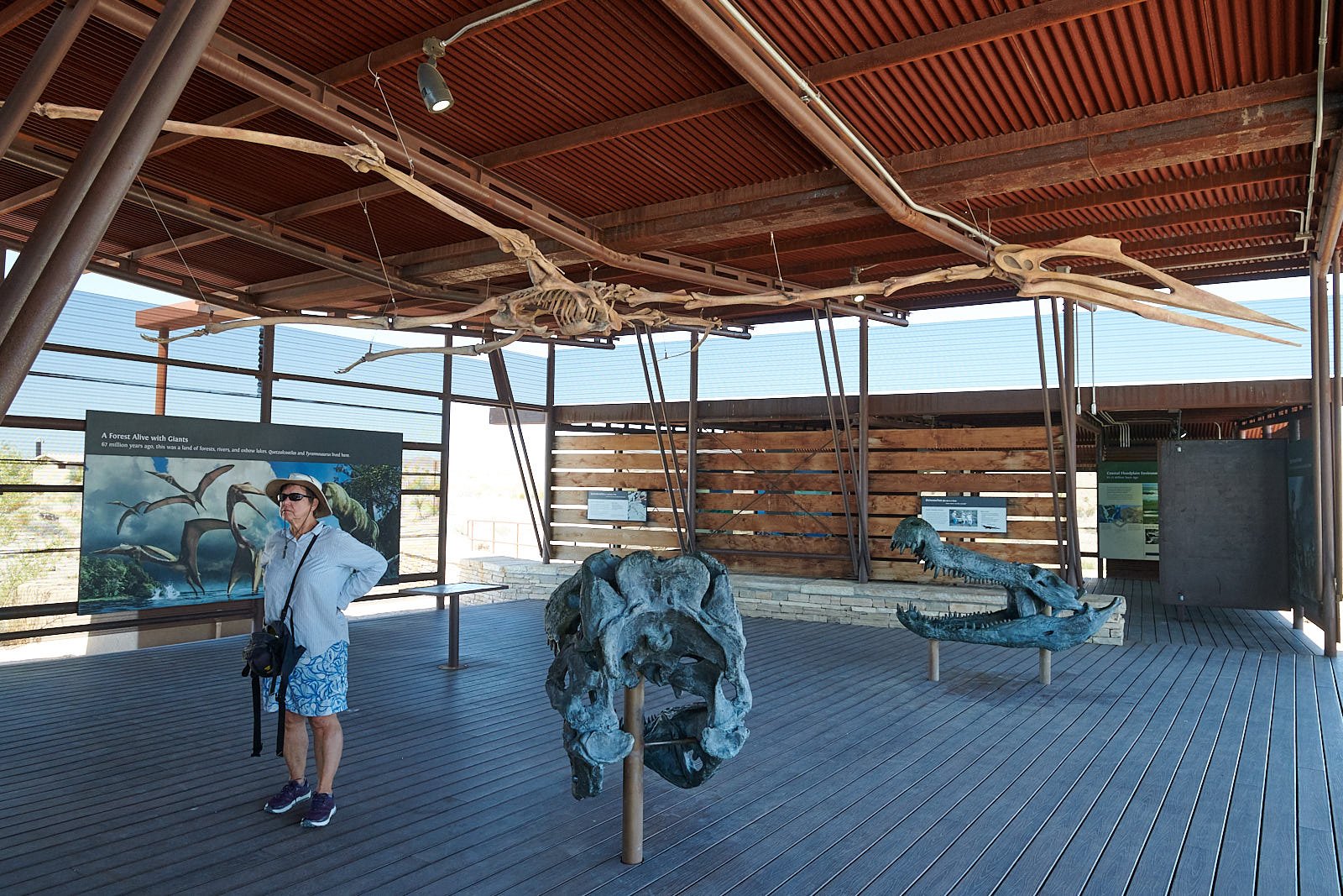
Meeting fellow Fossils
Next, we relocated to Rio Grande Village campground and, on the way, stopped to visit a fossil exhibit. The interpretive signage was excellent and an enormous bird dinosaur skeleton - Quetzalcoatlus - hung from the exhibit’s ceiling.
Big Bend birds
Many feathered migrants had moved through already, but we were entertained by a parade of sparrows - not the easiest to identify!

Brewer’s Sparrow, foraging for grass seeds.
Savannah Sparrow
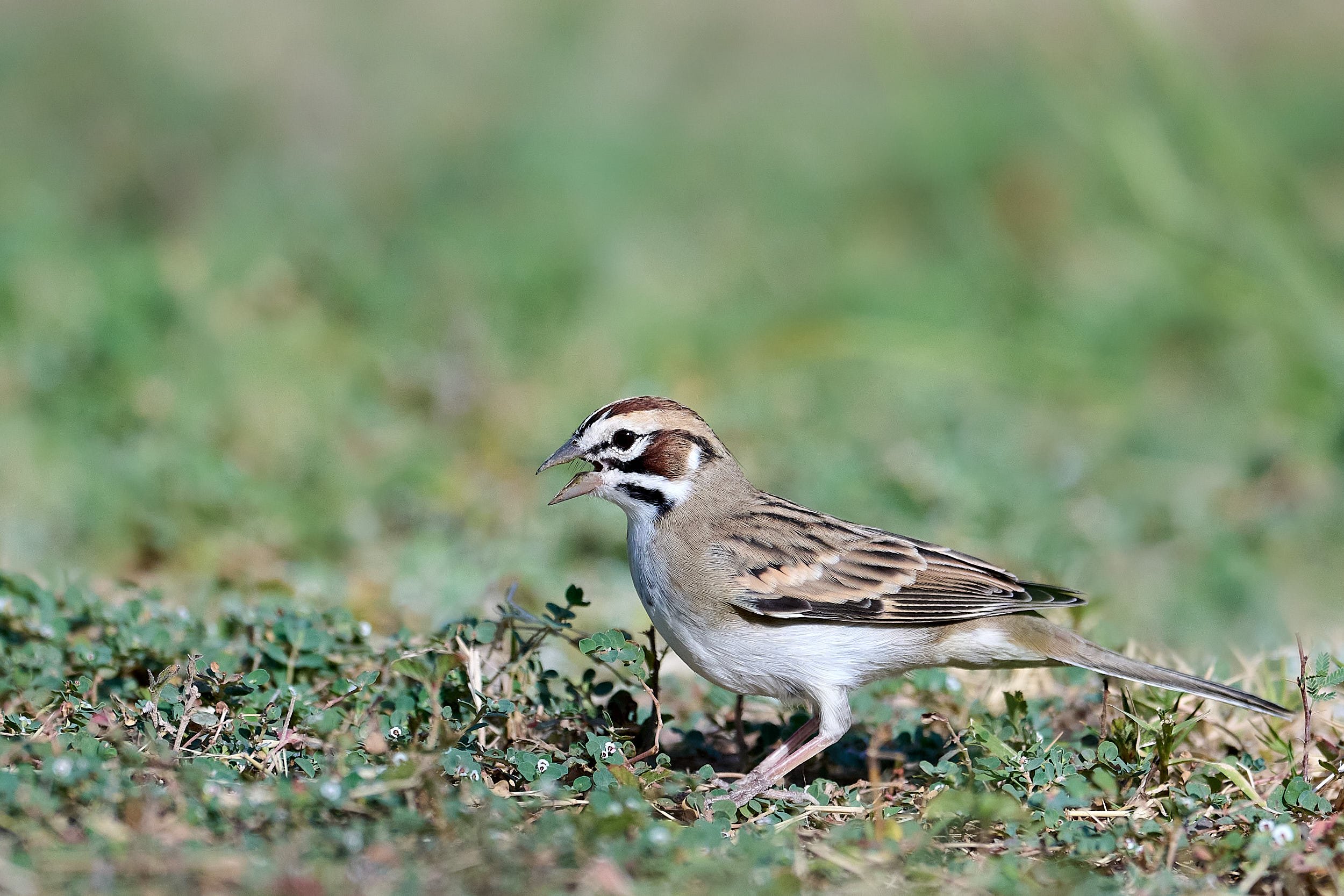
Left: Clay-colored Sparrow. Right: Lark Sparrow.
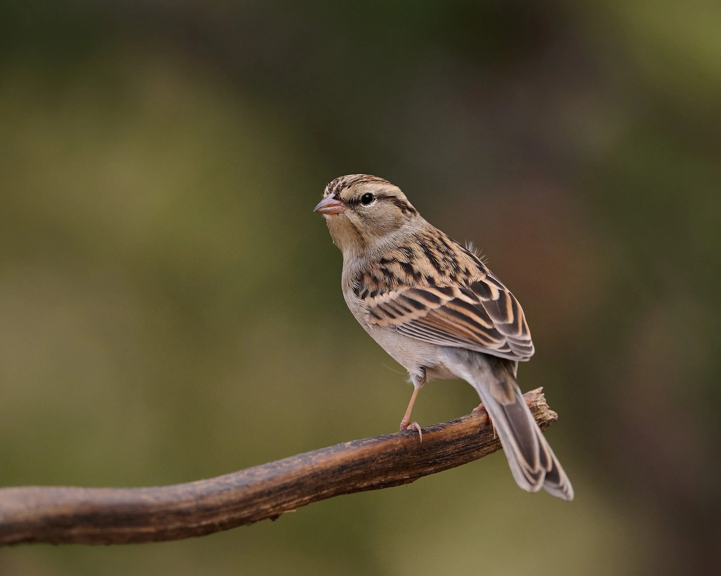
Chipping Sparrow
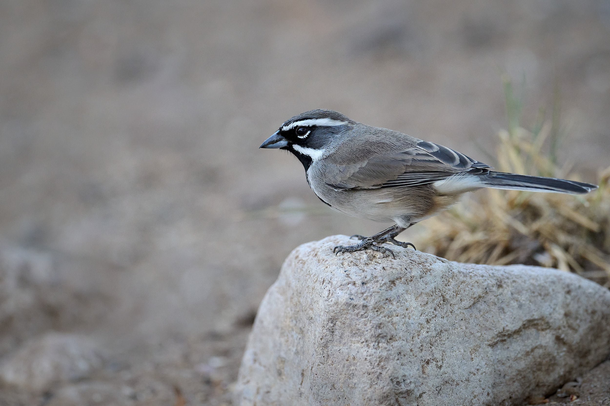
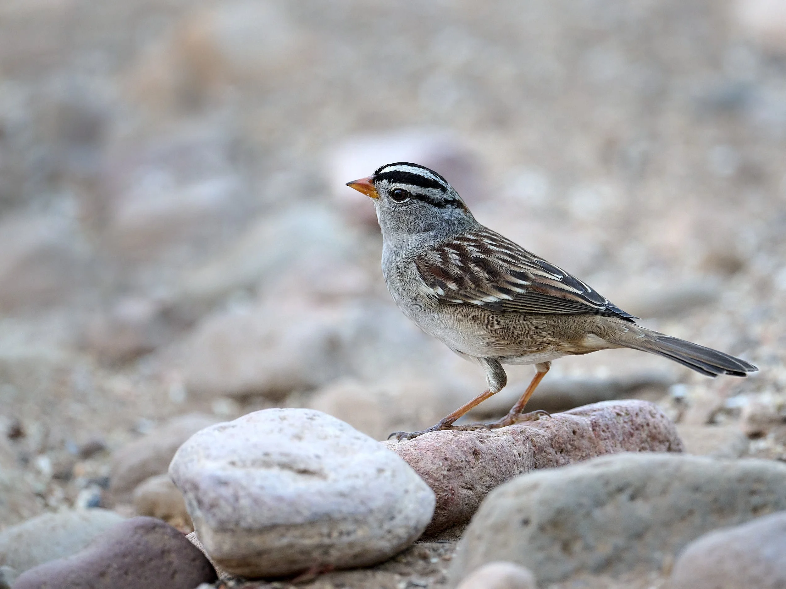
Left: Black-throated Sparrow. Right: White-crowned Sparrow.
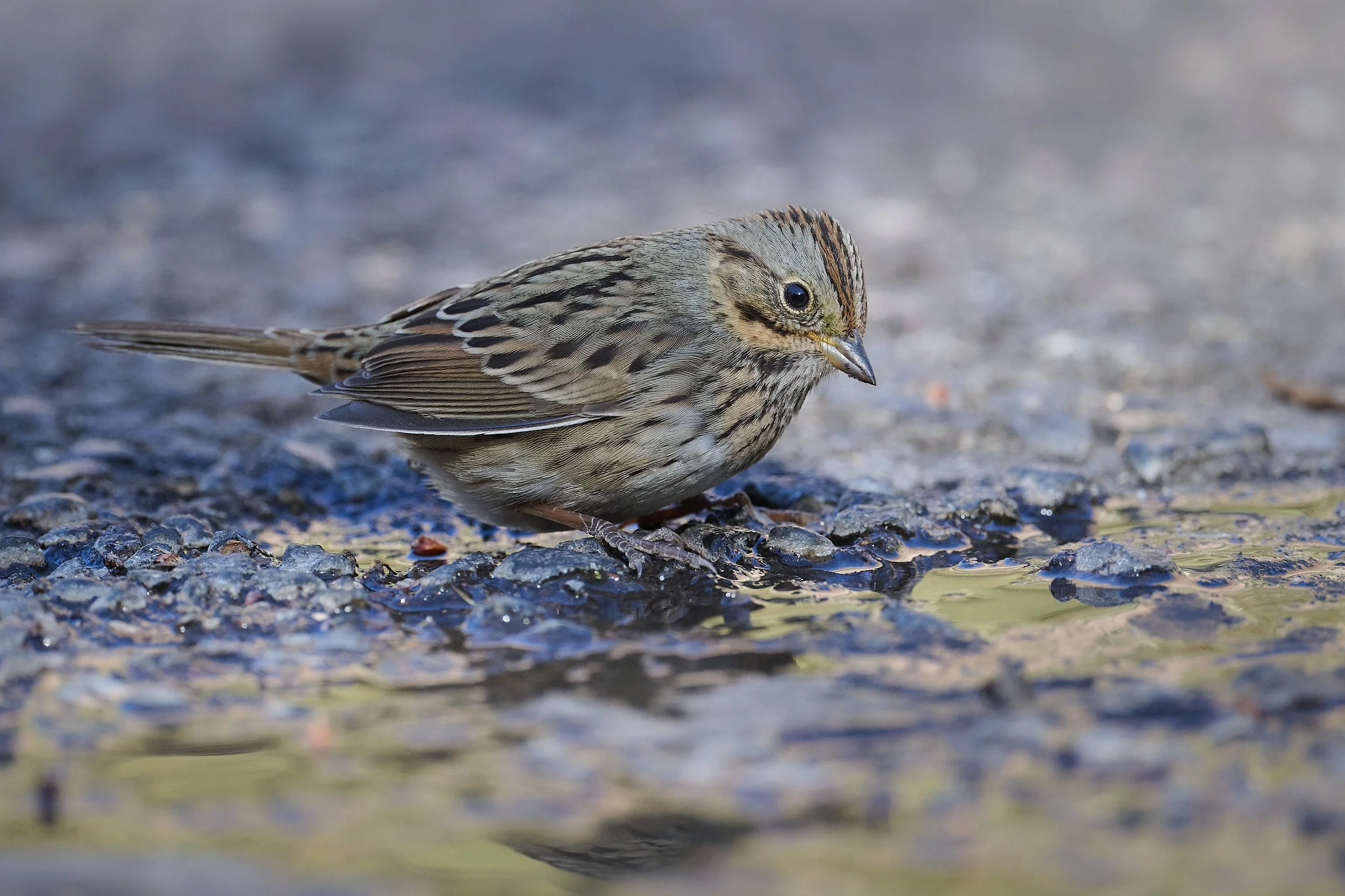
Lincoln’s Sparrow
Green-tailed Towhee.
Camp
The days were sultry and hot at our 1,800 feet elevation campsite by the Rio Grande. Nights cooled to the mid-80’s degrees F. Like us, avian and mammalian activity was minimal at midday. Only the Vermilliion Flycatchers seemed unaffected by the heat. Towards late afternoon, Javelinas and coyotes sometimes cruised by. Turkey vultures would descend from the high thermals at twilight and settle in to roost. Bats flittered around the silhouetted mesquite and we listened to the resonating voices of bullfrogs and Great Horned Owls.
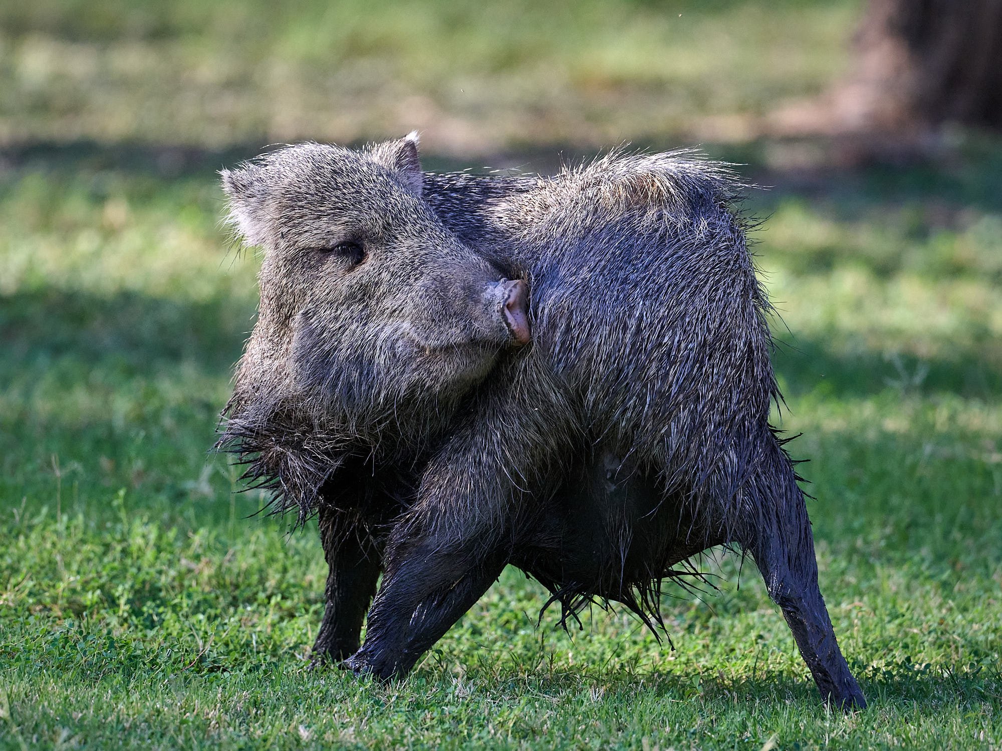
Javelina with an itch.
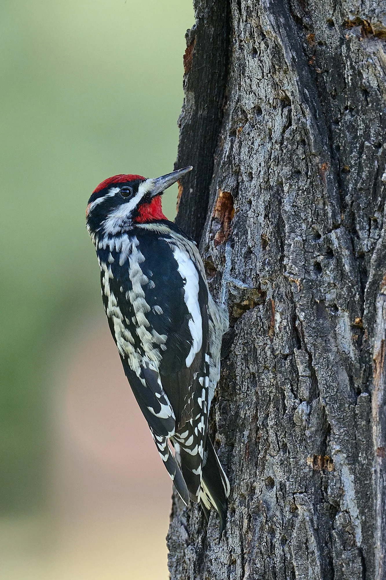
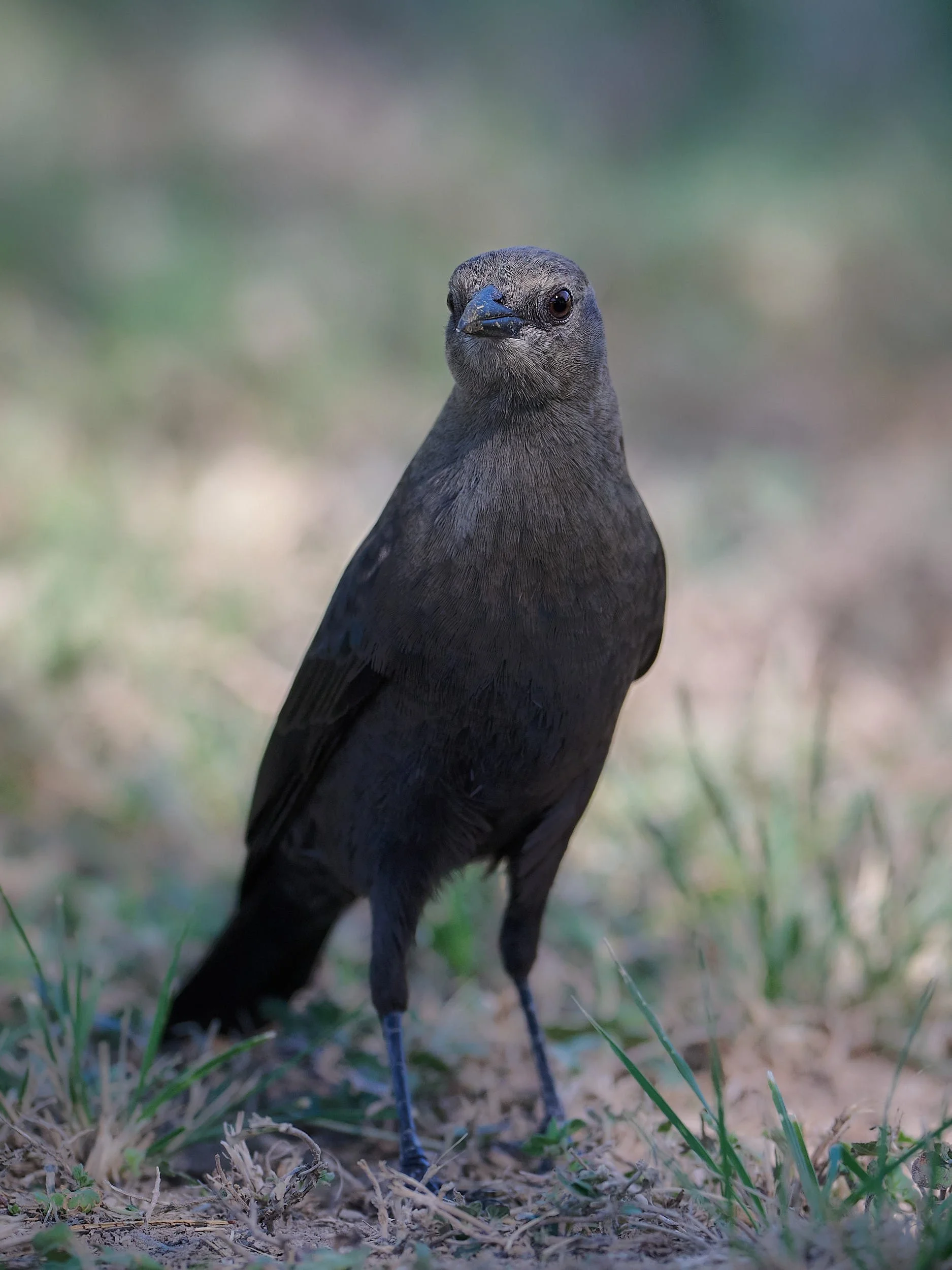
Left: Red-naped Sapsucker. Right: Brewer’s Blackbird.
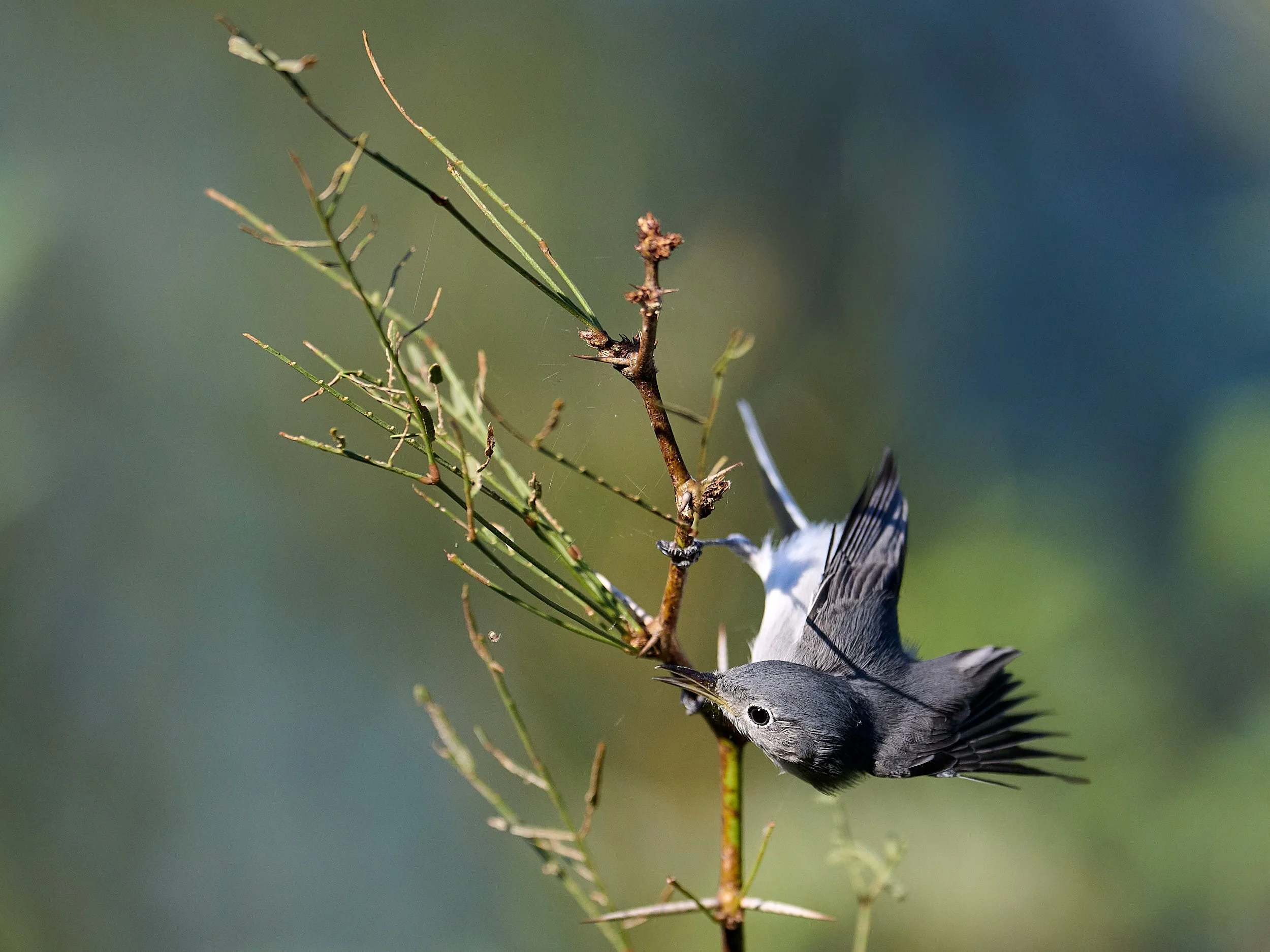
Blue-grey Gnatcatcher.
Turkey Vulture
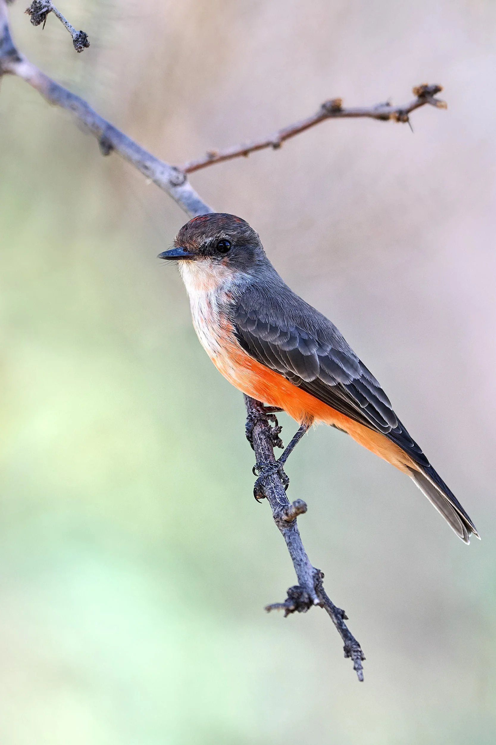
Vermillion Flycatcher.
Time to move
The heat seemed relentless and stupor was setting in. We curtailed our time in Big Bend to one week and moved to Davis Mountains State Park, camping at just over 5,000 feet altitude. (Of course, it rained by the Rio Grande the day after we departed.)
Davis Mountains are volcanic “sky islands”, providing refuge from the hot desert and moist, higher-altitude opportunities for plants and animals. The campground offers several trails into the surrounding hills and has two bird feeding stations.

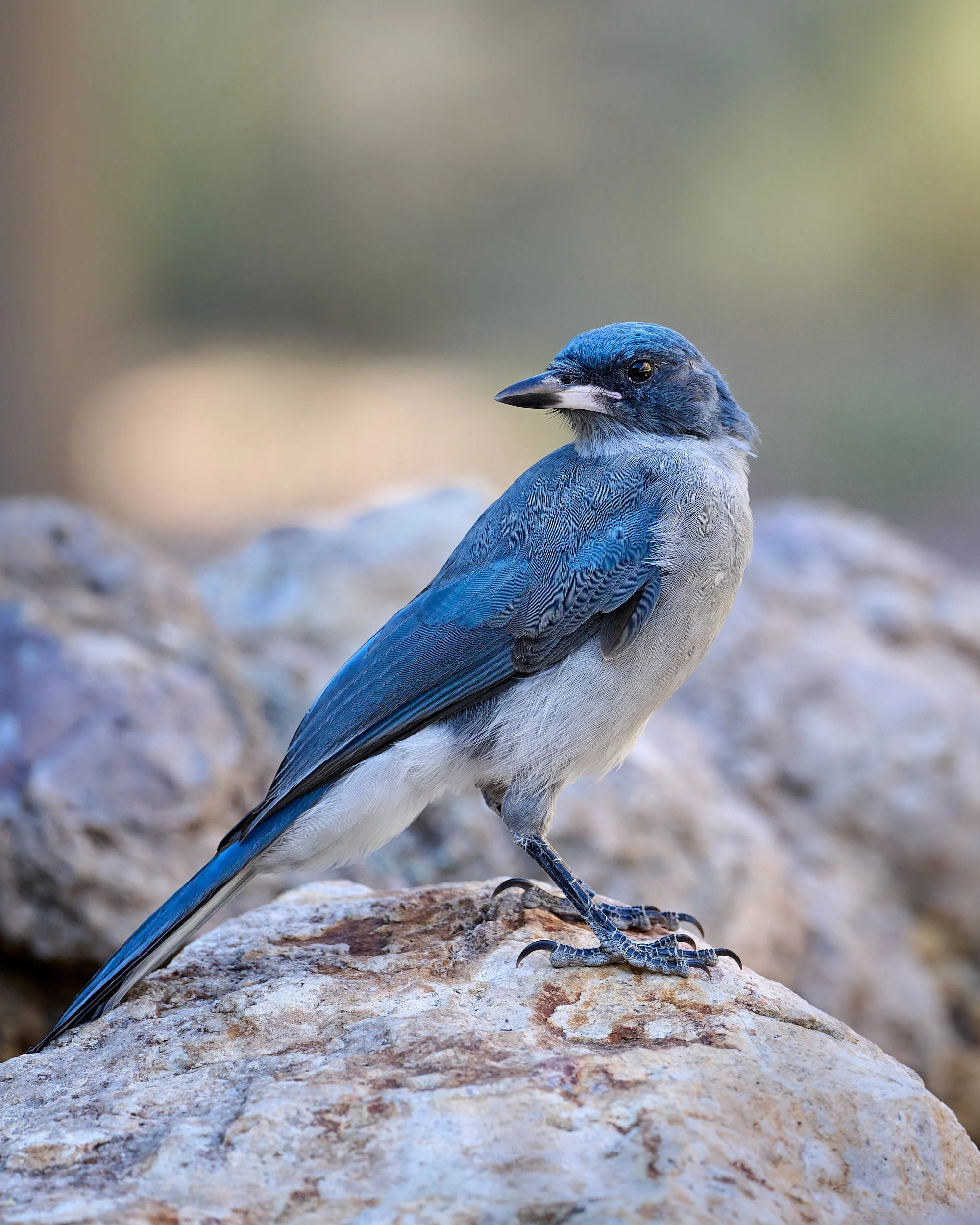
Woodhouse’s Scrub-jay
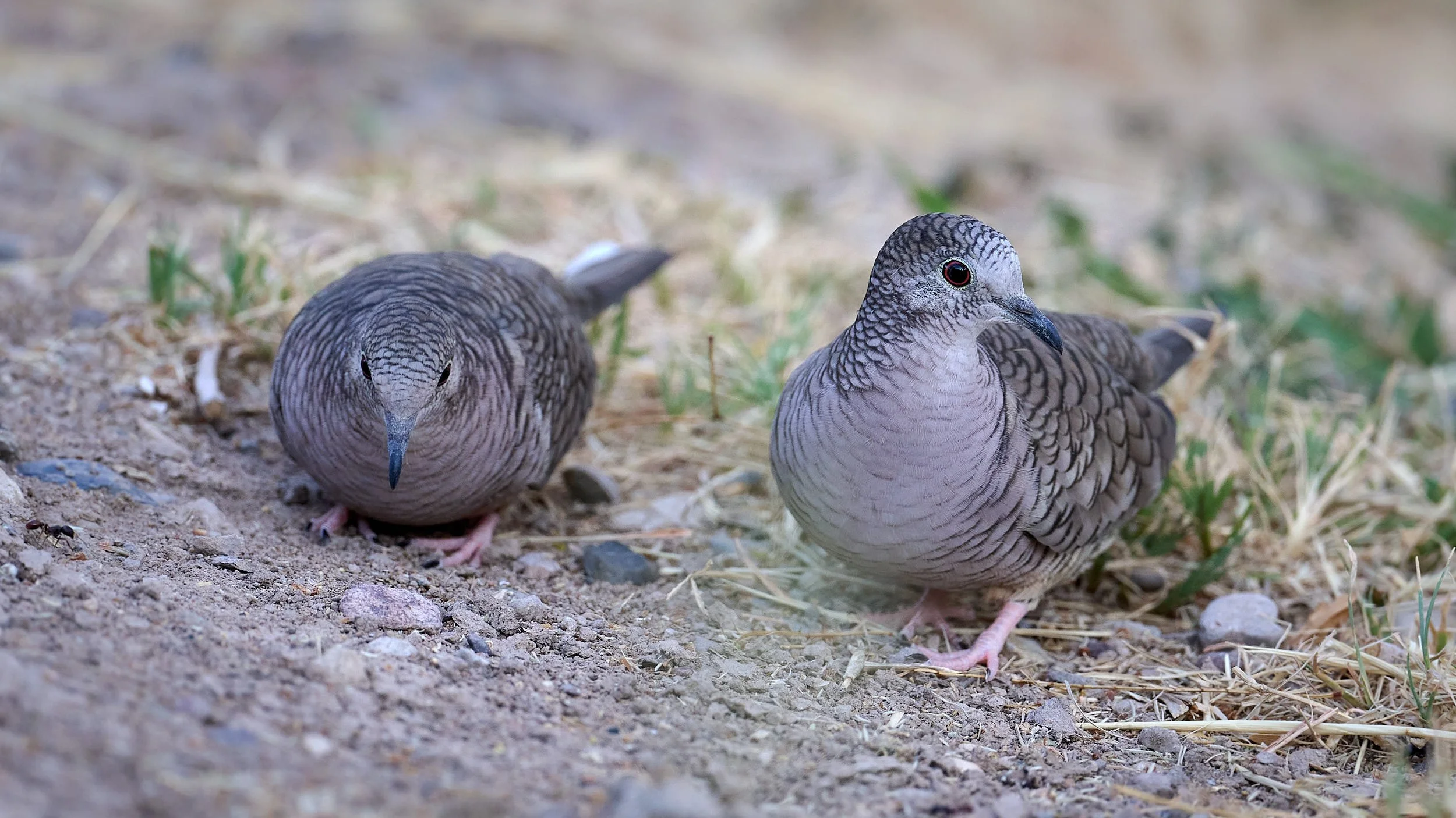
Inca Dove.
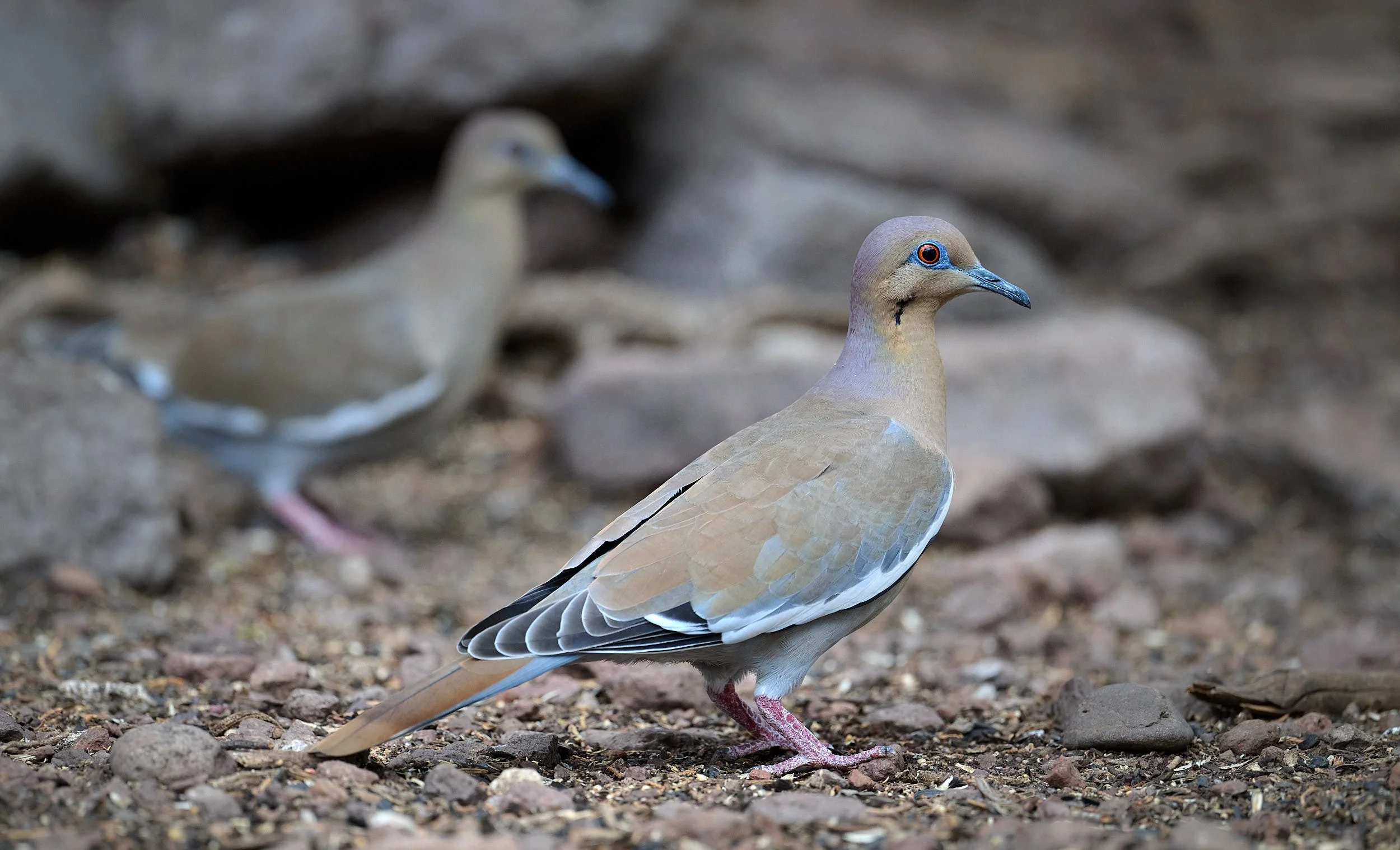
White-winged Dove.
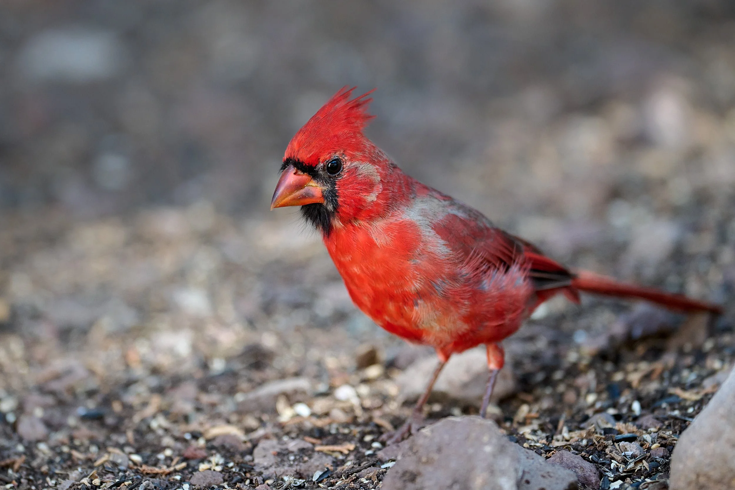
Northern Cardinal.
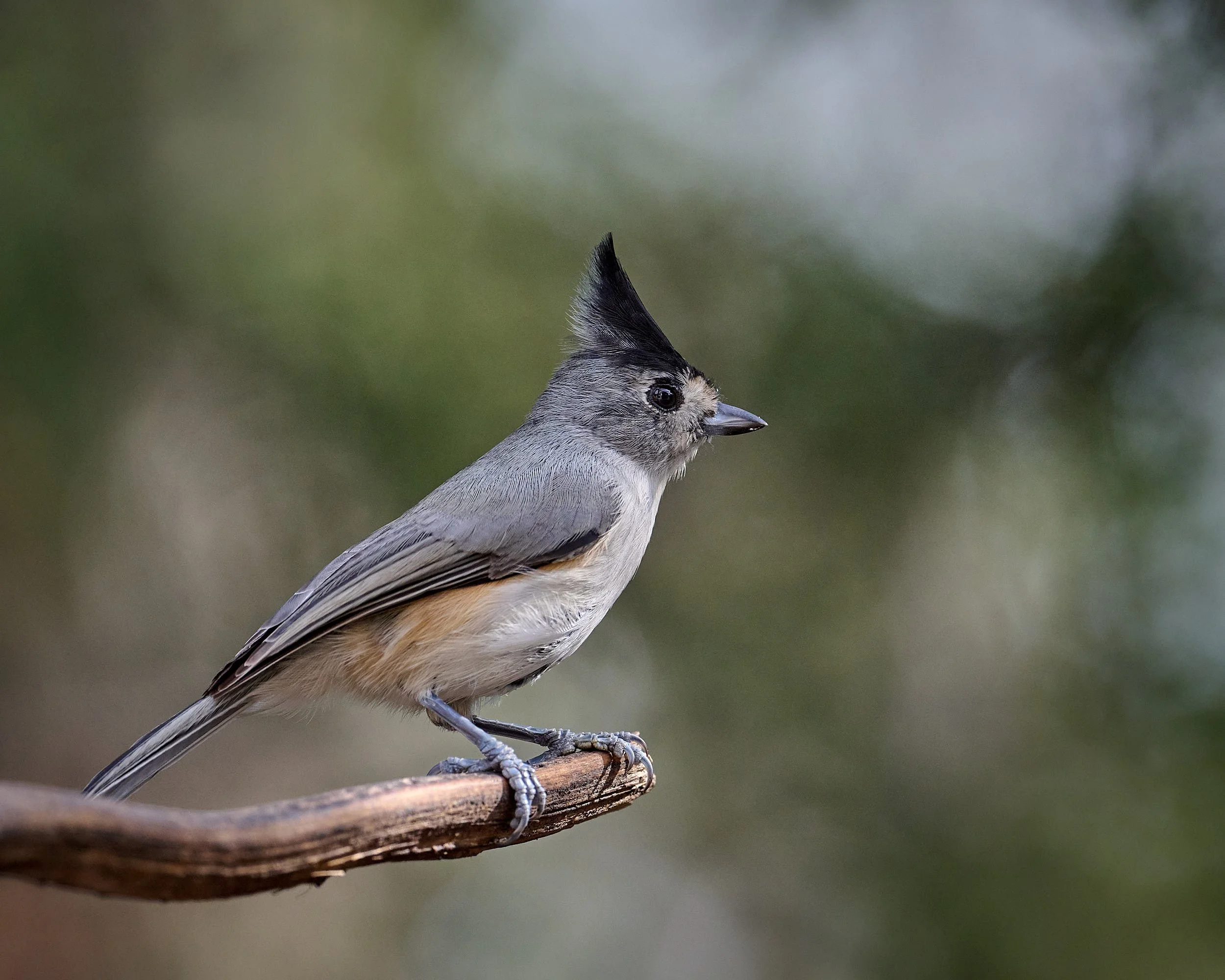
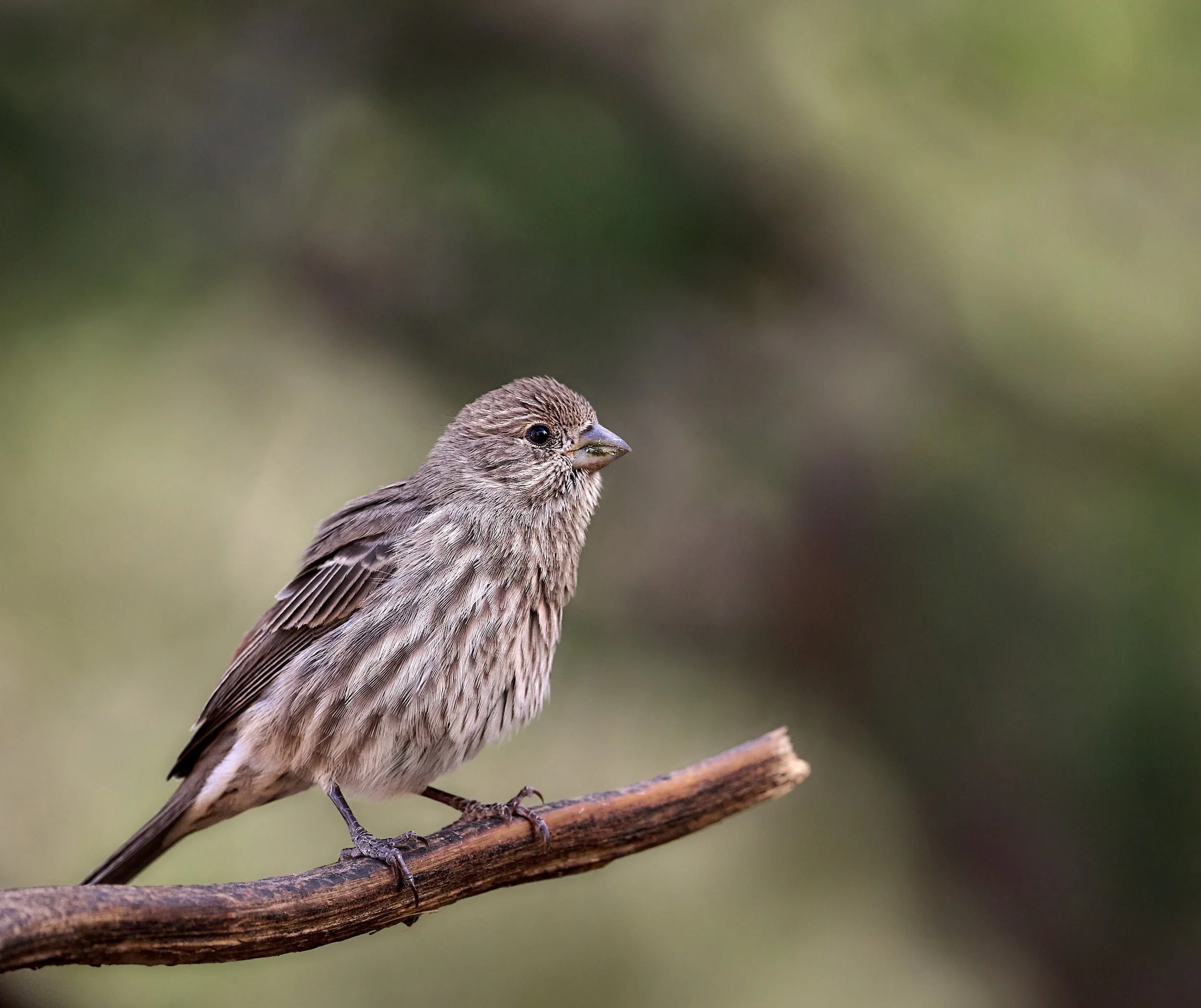
Left: Tufted Titmouse (Mexican variant). Right: House Finch female/juvenille.
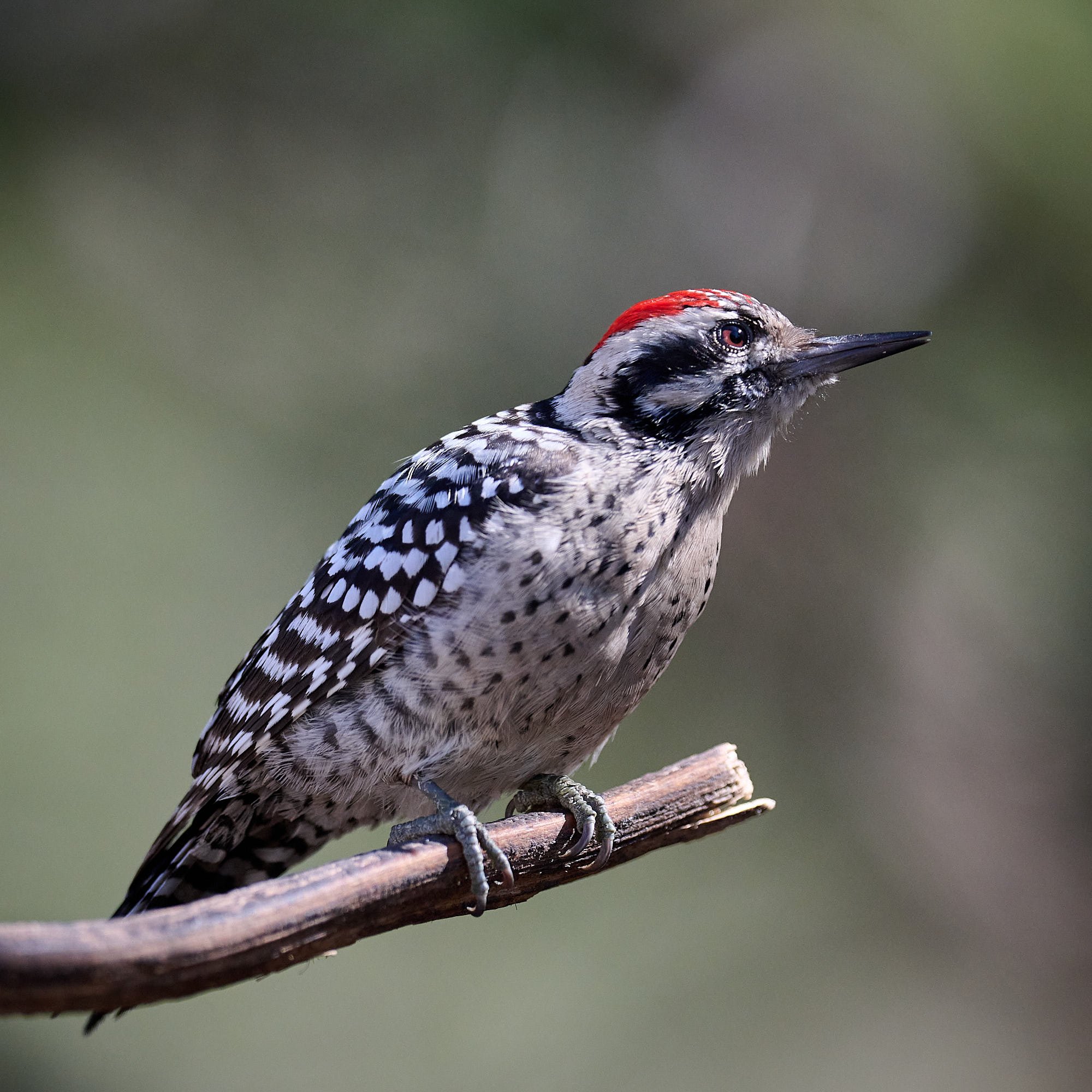
Ladder-backed Woodpecker.
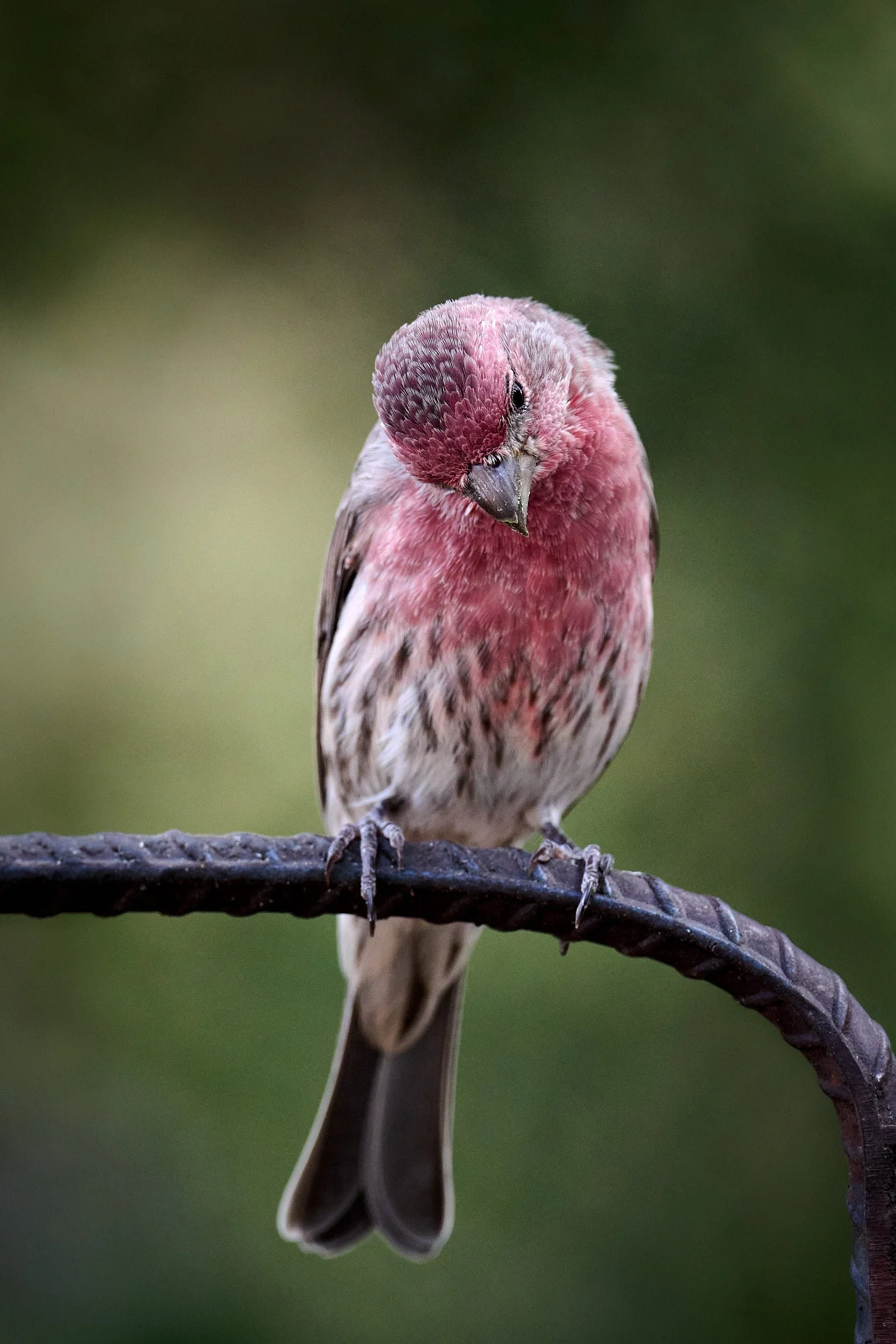
House Finch, male.
Mmmm… nice van! Canyon Towhee, well-adjusted to camp life.
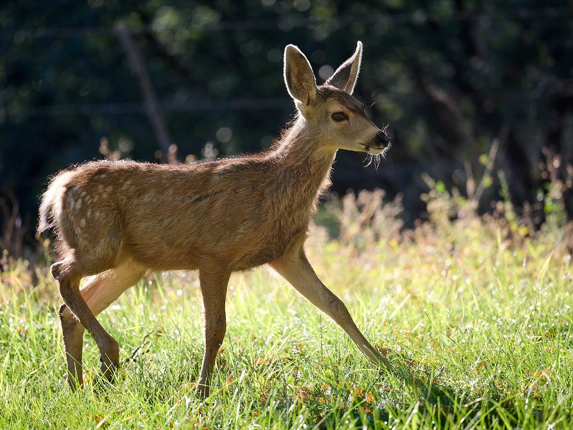
Mule deer female.
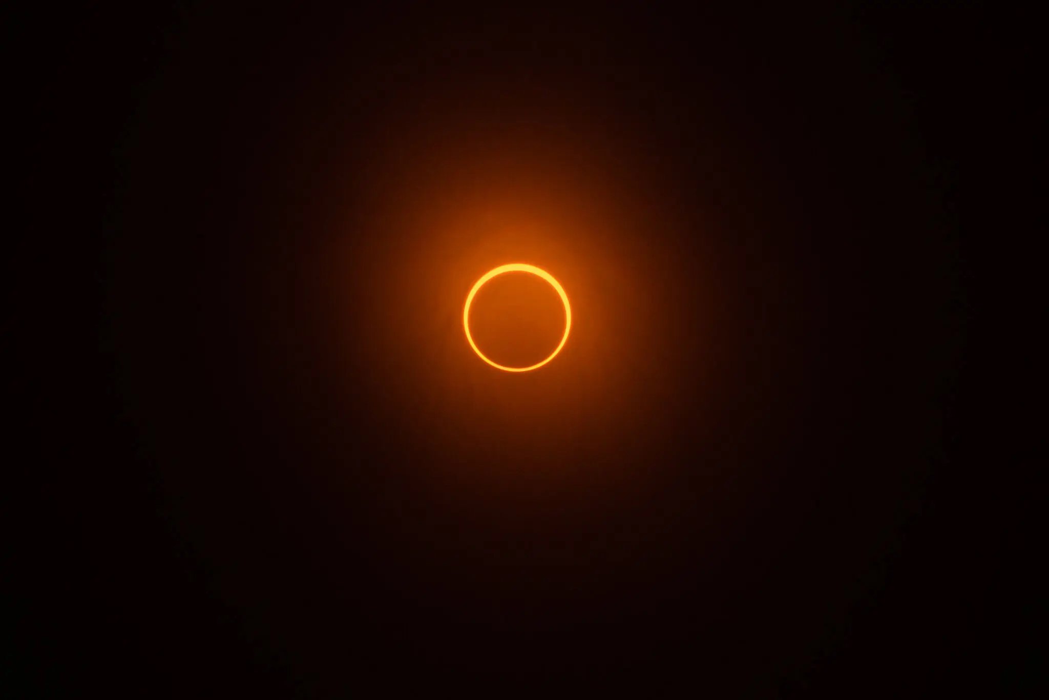
Eclipsed!
Our next planned stop was Canyon de Chelly. We would be there during the solar eclipse of 10/14/23.
However, Trevlyn discovered from the New York Times that the Navajo Nation was closing the Monument for a while to accommodate traditional beliefs. Rather than a spectacle, many Diné regard the eclipse as a time for reverence and reflection.
https://www.nytimes.com/2023/10/14/homepage/solar-eclipse-photos.html
Plan B.
We consulted the map, changed plans, stopped at City of Rocks and then moved to Sunny Flat, Chiricahua Mountains, Arizona – one of our favorite campgrounds. There, to our delight, we bumped into DH, a good friend. Together, we dined with CN, someone who spent many adventurous years in Mozambique – a country that holds fond memories for us.
City of Rocks, New Mexico.
This picturesque jumble of rocks was created during a violent volcanic eruption about 35 million years ago. Large amounts of pumice, ash and gas were ejected skyward. The material was extremely hot and welded together to form the dense rocks that are present today. Mimbres Indians inhabited the area from approximately 100 to 1,250 CE. There are petroglyphs to view and the botany is interesting. We intend to re-visit the area.


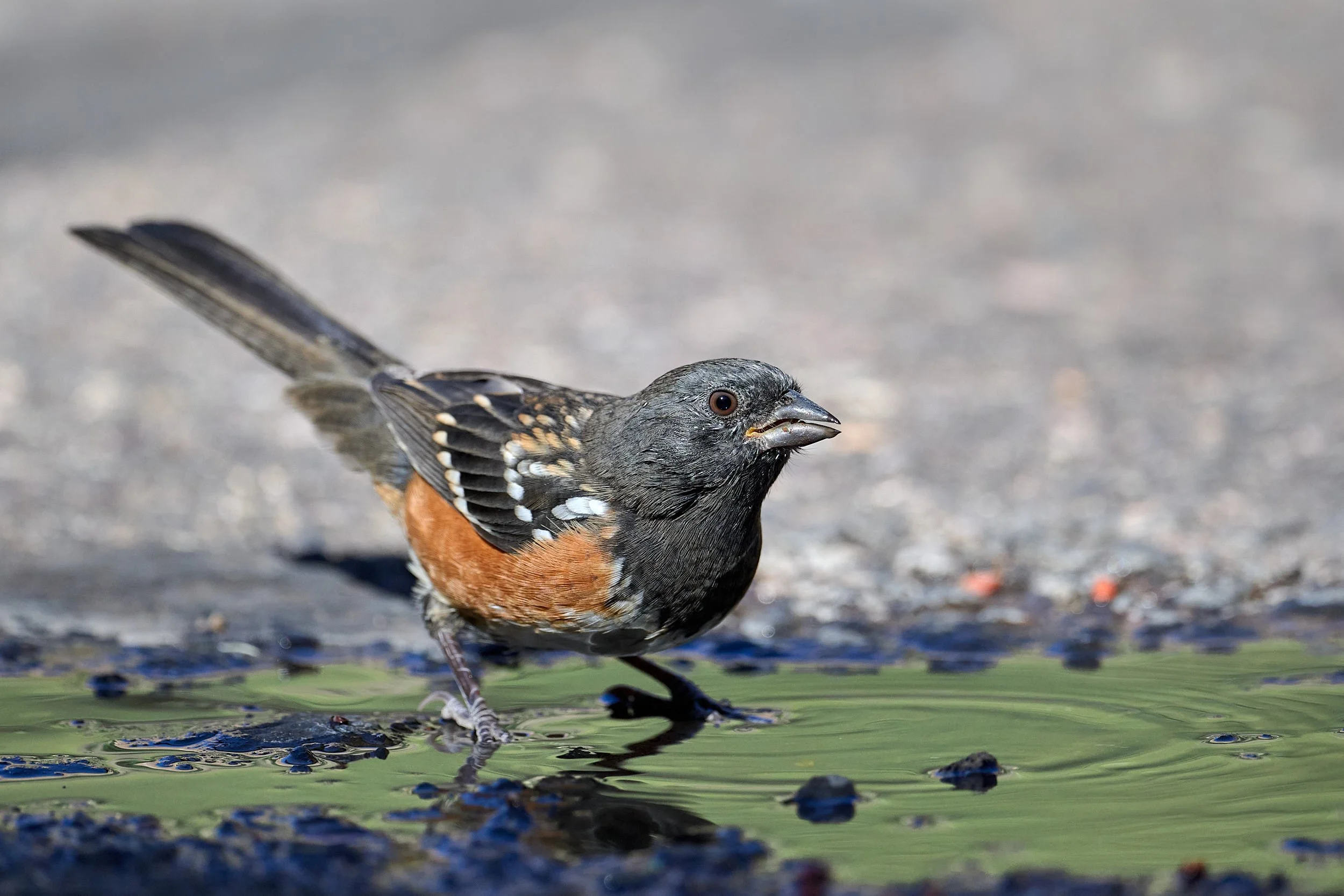
Spotted Towhee.
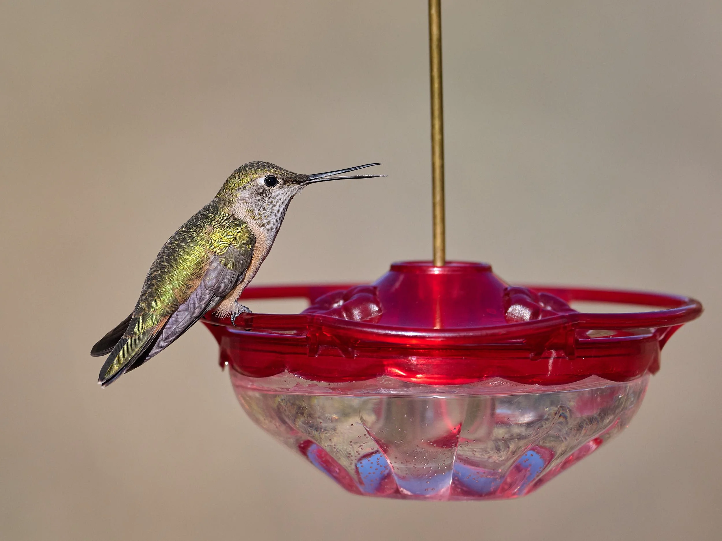
Broad-tailed Hummingbird.
Mexican Jay, juvenile.
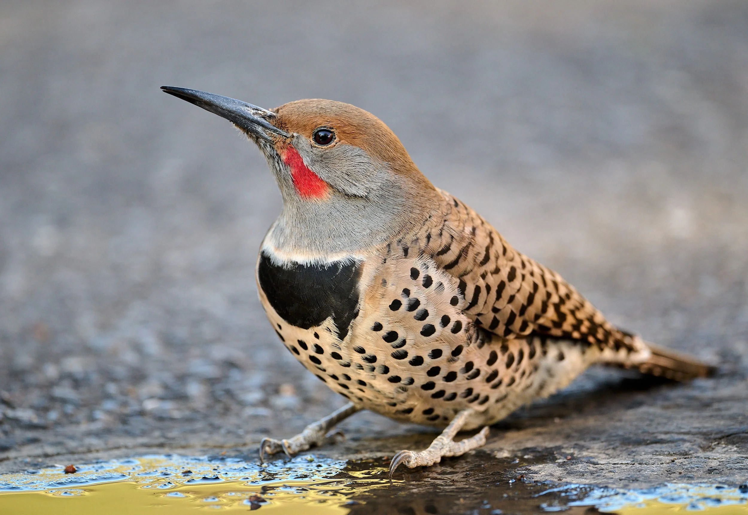
Northern Flicker.
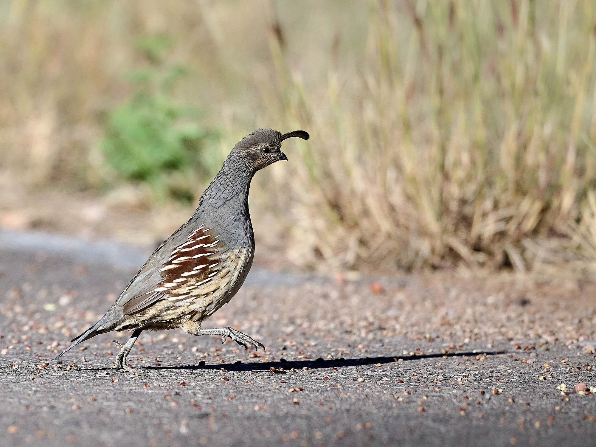
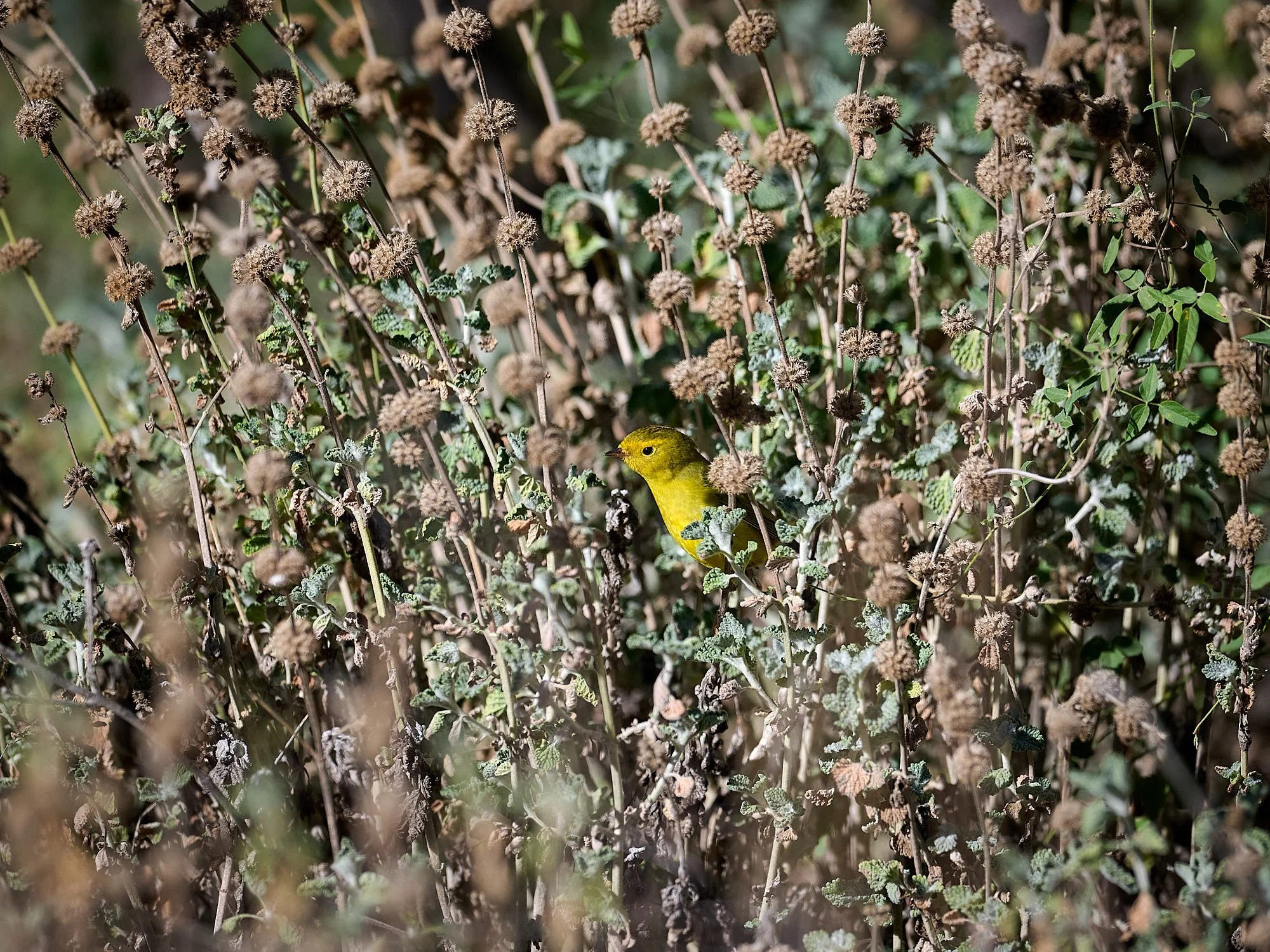
Left: Gambel’s Quail. Right: Yellow Warbler.
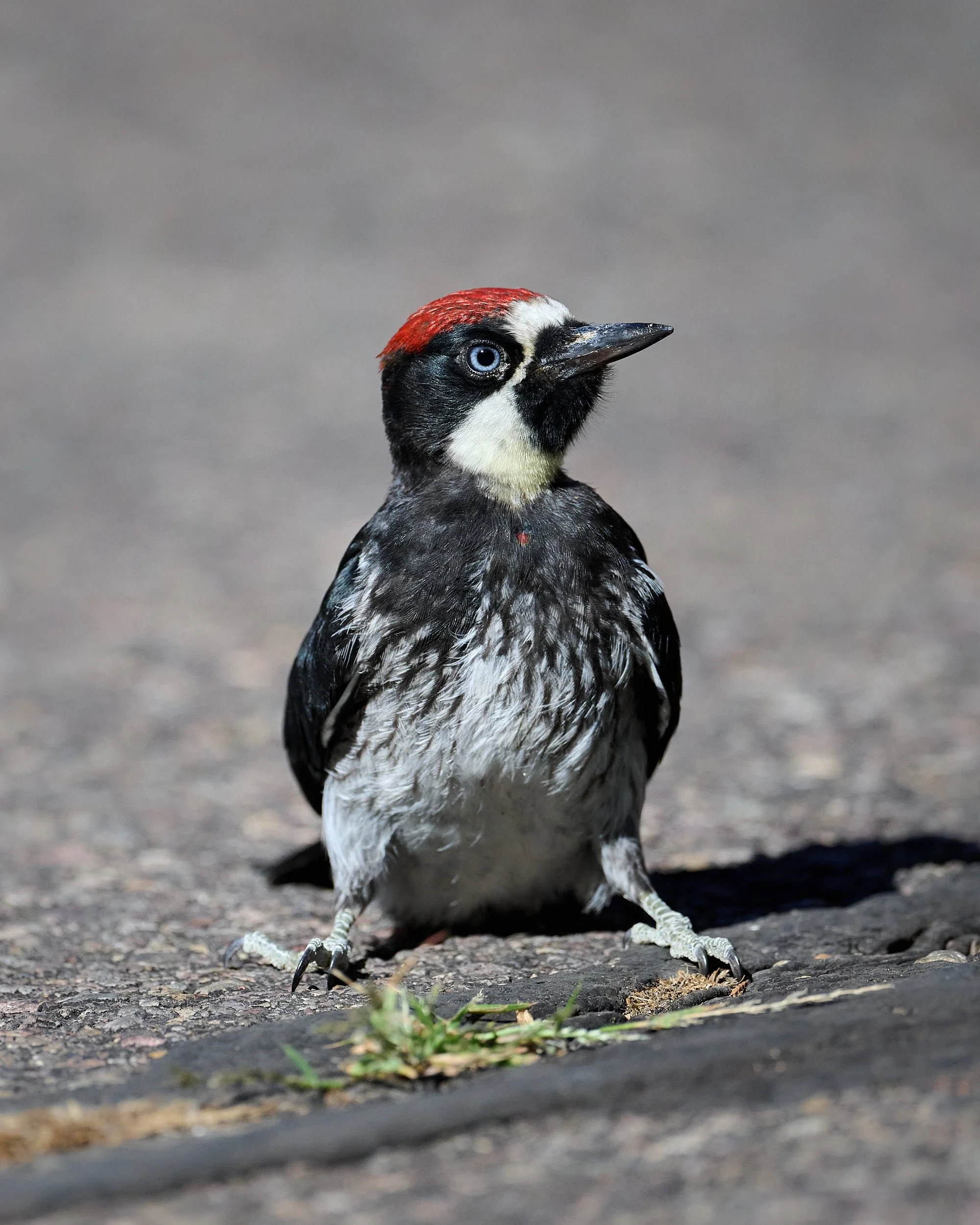
Acorn Woodpecker.
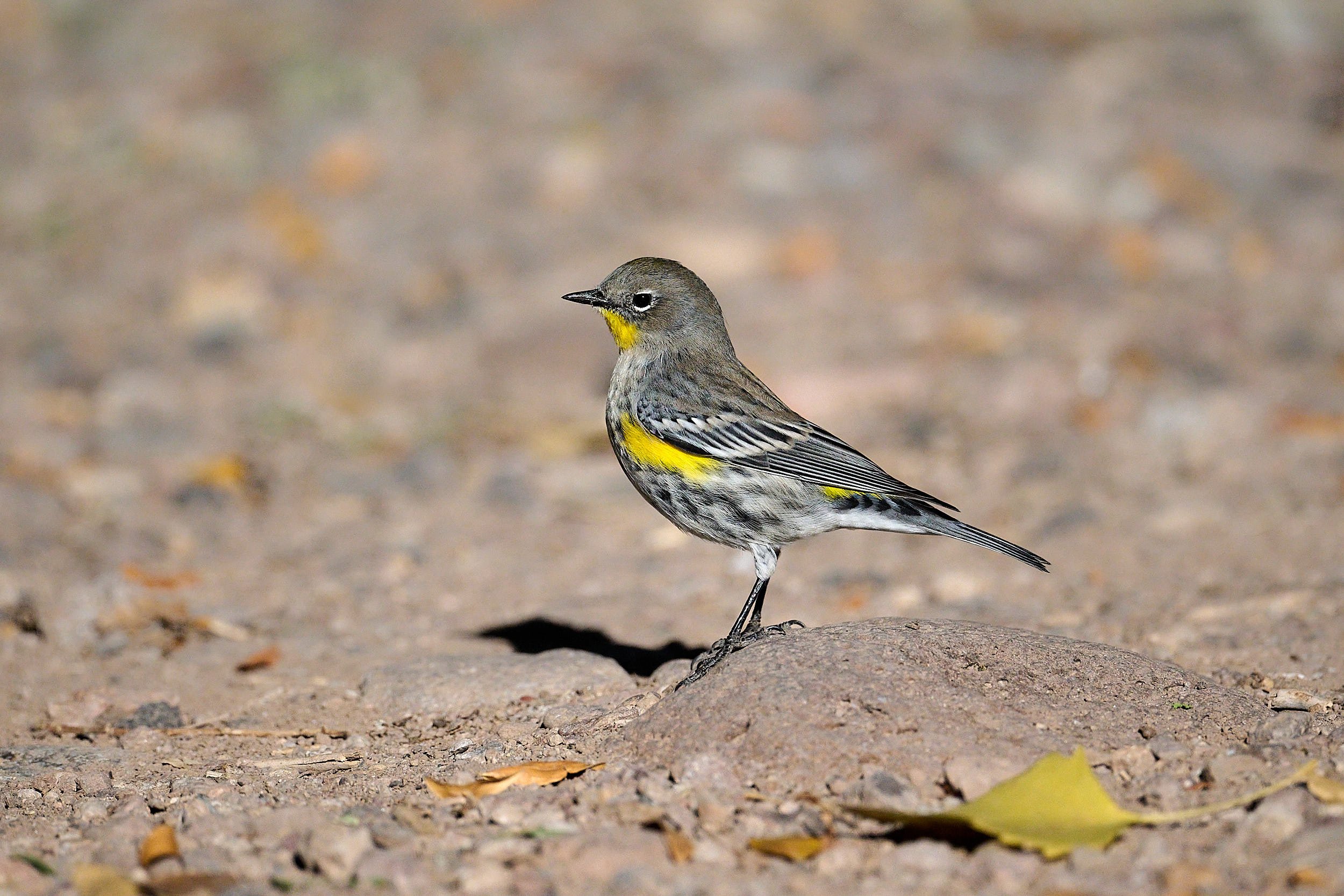
Yellow-rumped Warbler.
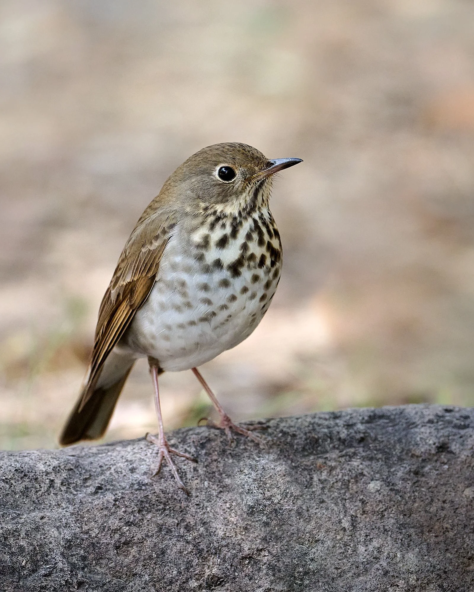
Hermit Thrush.
Fall colors
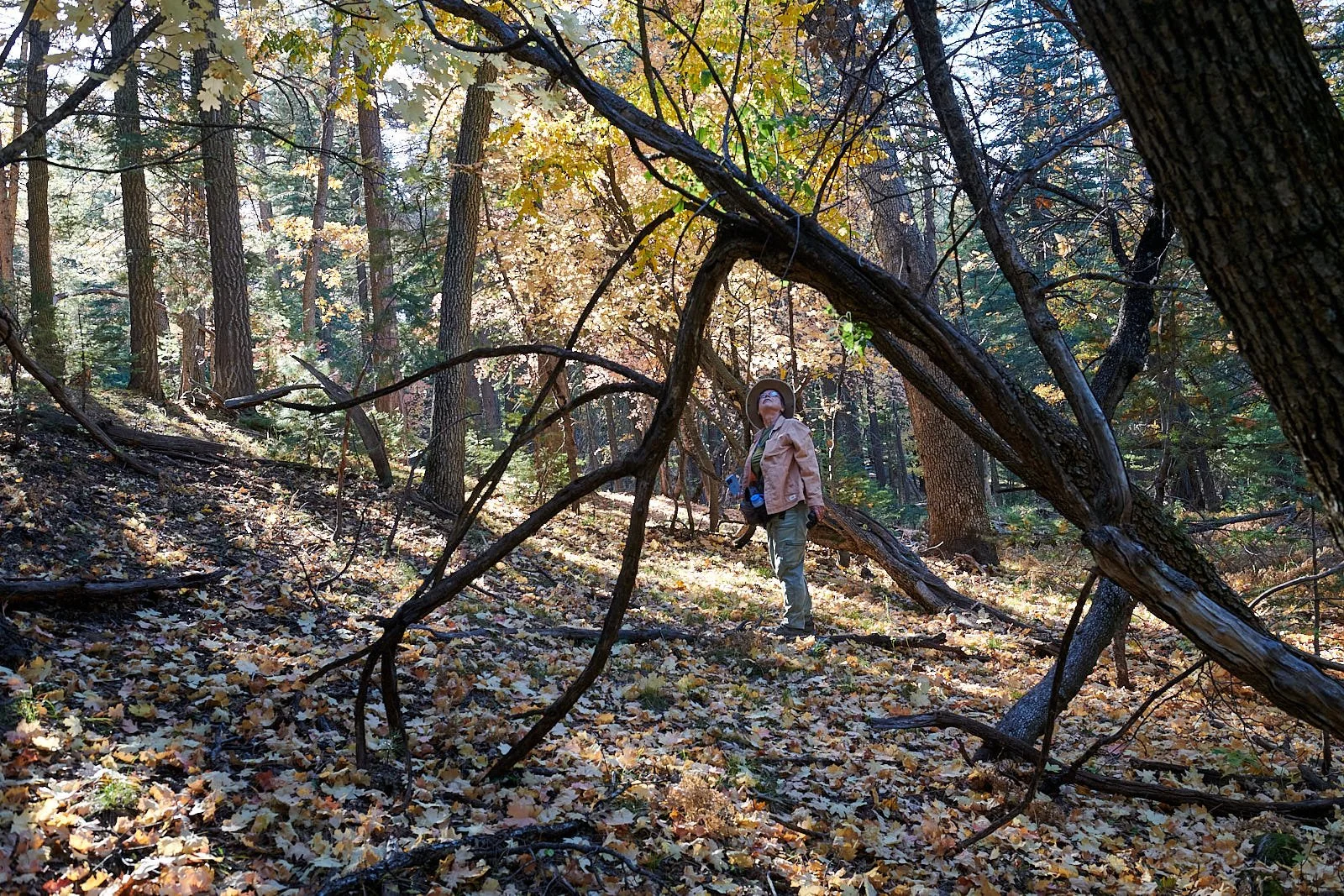
Arizona’s Mogollon Rim is the southern edge of the Colorado Plateau. A dirt road parallels its edge, offering glorious vistas of the northern reaches of the Sonoran Desert, some 2,000 feet below.
The Mogollon area is intersected by the southern extent of the Rocky Mountains and the northern reaches of the Sierra Madre. All four of North America’s deserts connect directly with the region: the Great Basin Desert to the north, the Mojave to the west, and the Sonoran and Chihuahuan to the south. Consequently, the Mogollon Highlands is a biodiversity hotspot and a notable center of North American endemism. We camped adjacent to the Mogollon Rim Botanical Area which preserves a white fir/bigtooth maple community - a unique vegetation type found in Arizona only at a few locations along the Mogollon Rim.
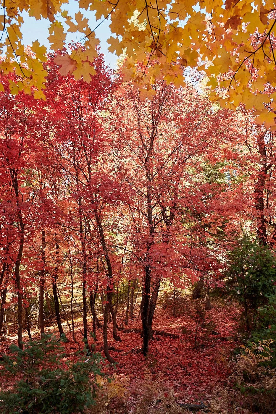
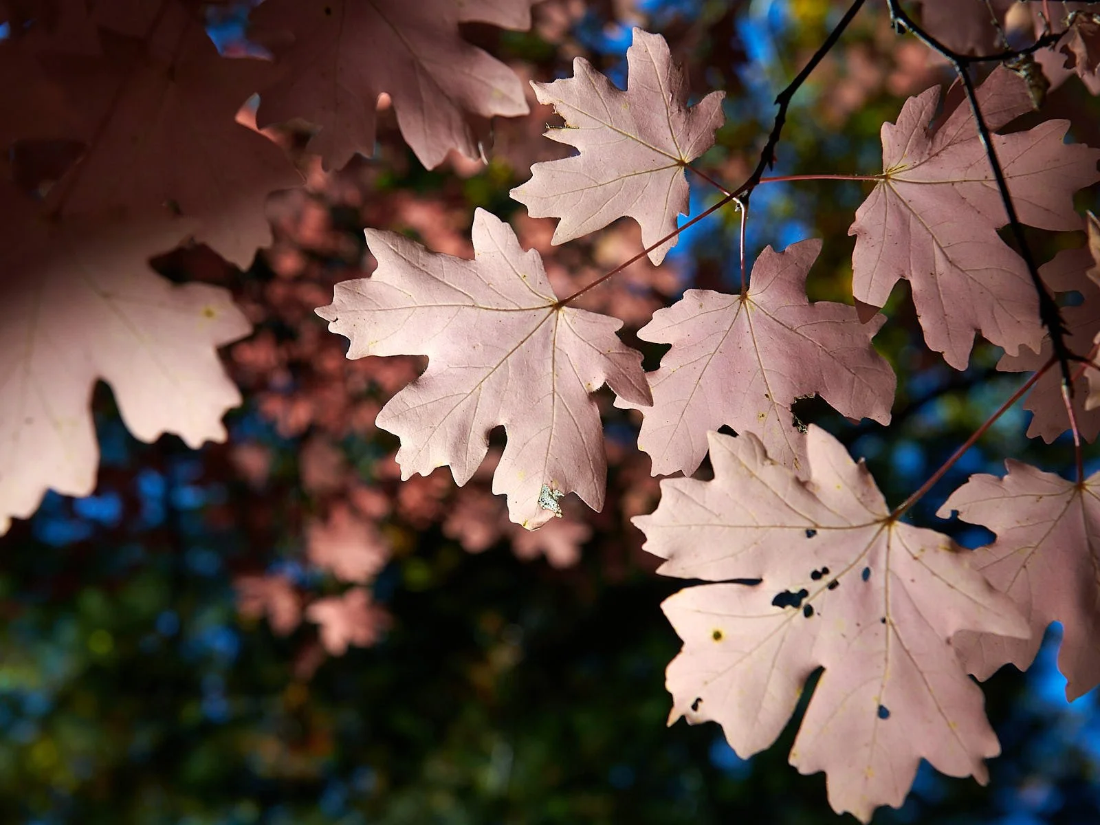
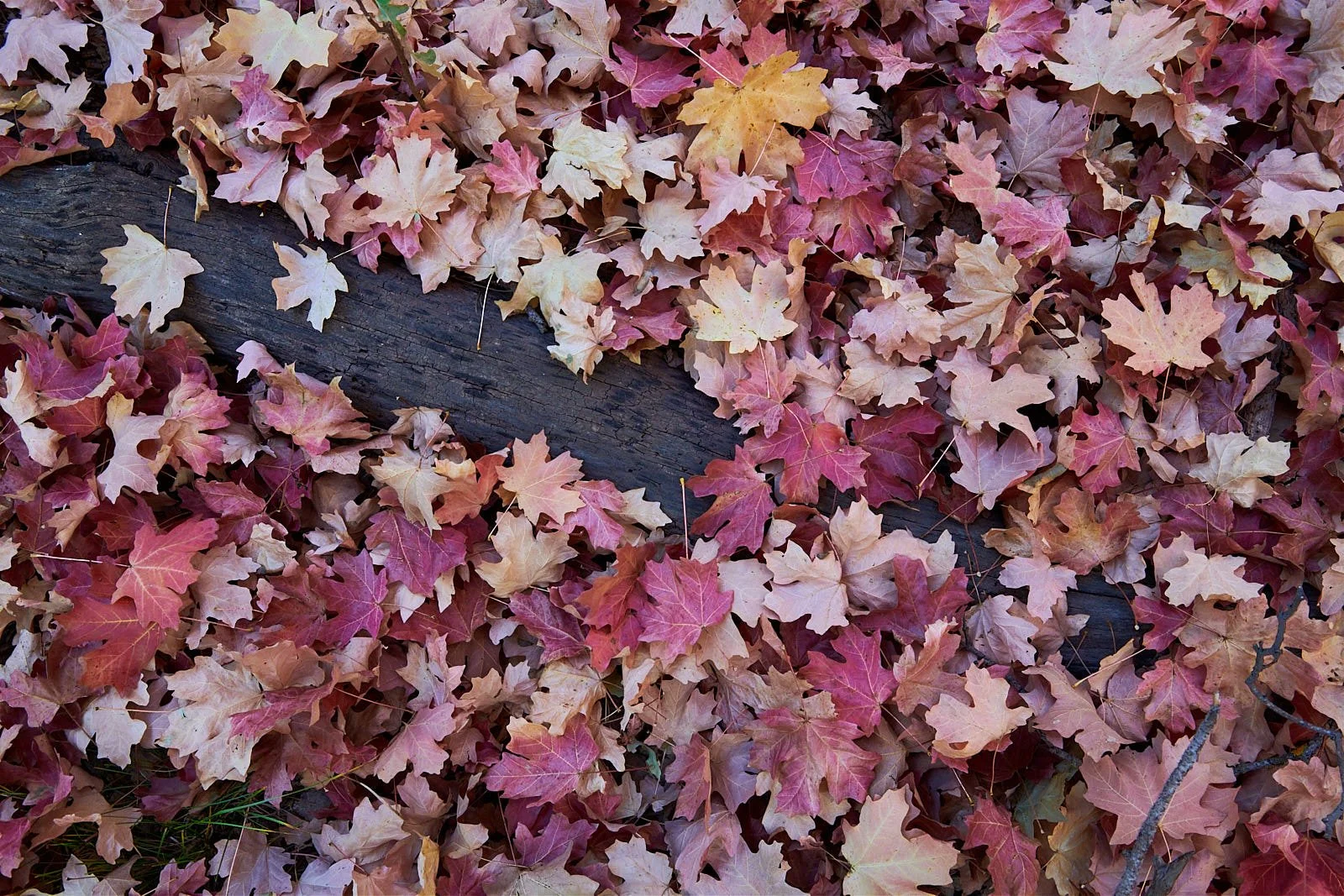
Next, we moved to the Sedona area, camping at Clear Creek near Camp Verde and then at Cave Springs campground within Oak Creek Canyon. Red Rock country, but crazy busy – especially because Fall foliage colors were peaking.
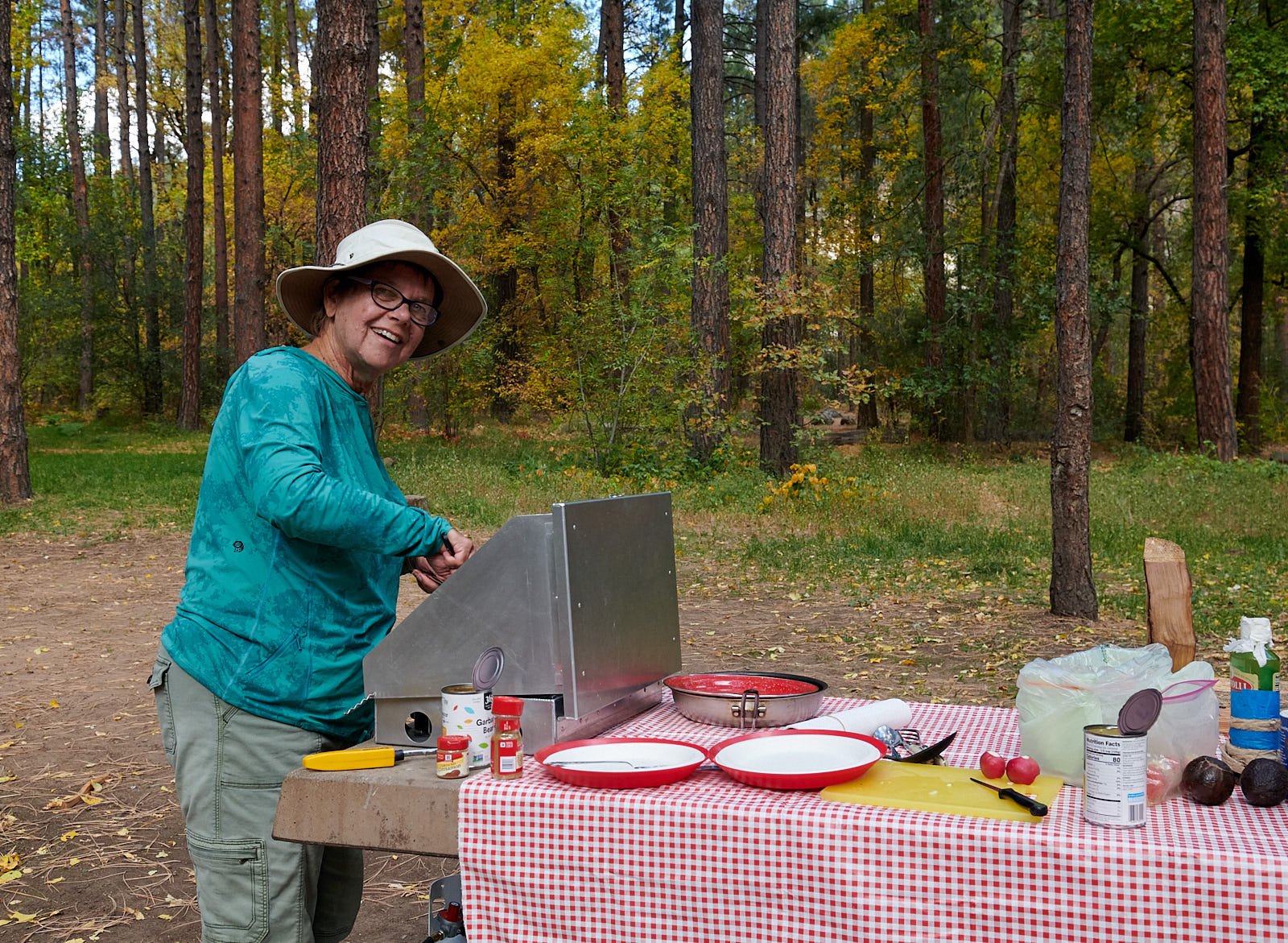
Want a good coffee shop? Try “Thanks a Latte” café in Camp Verde.
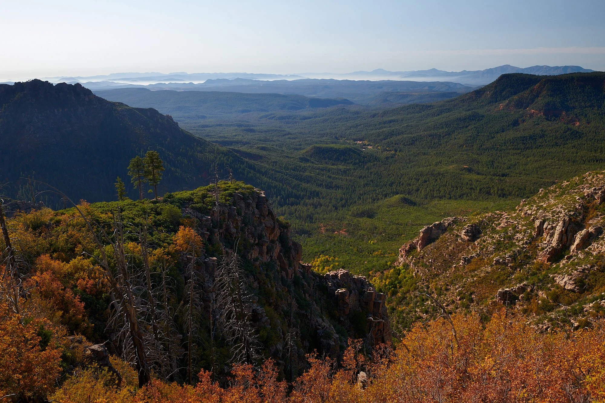
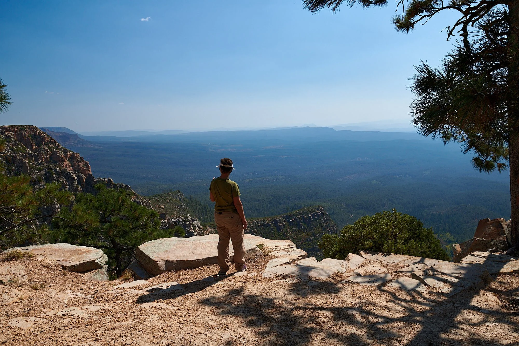
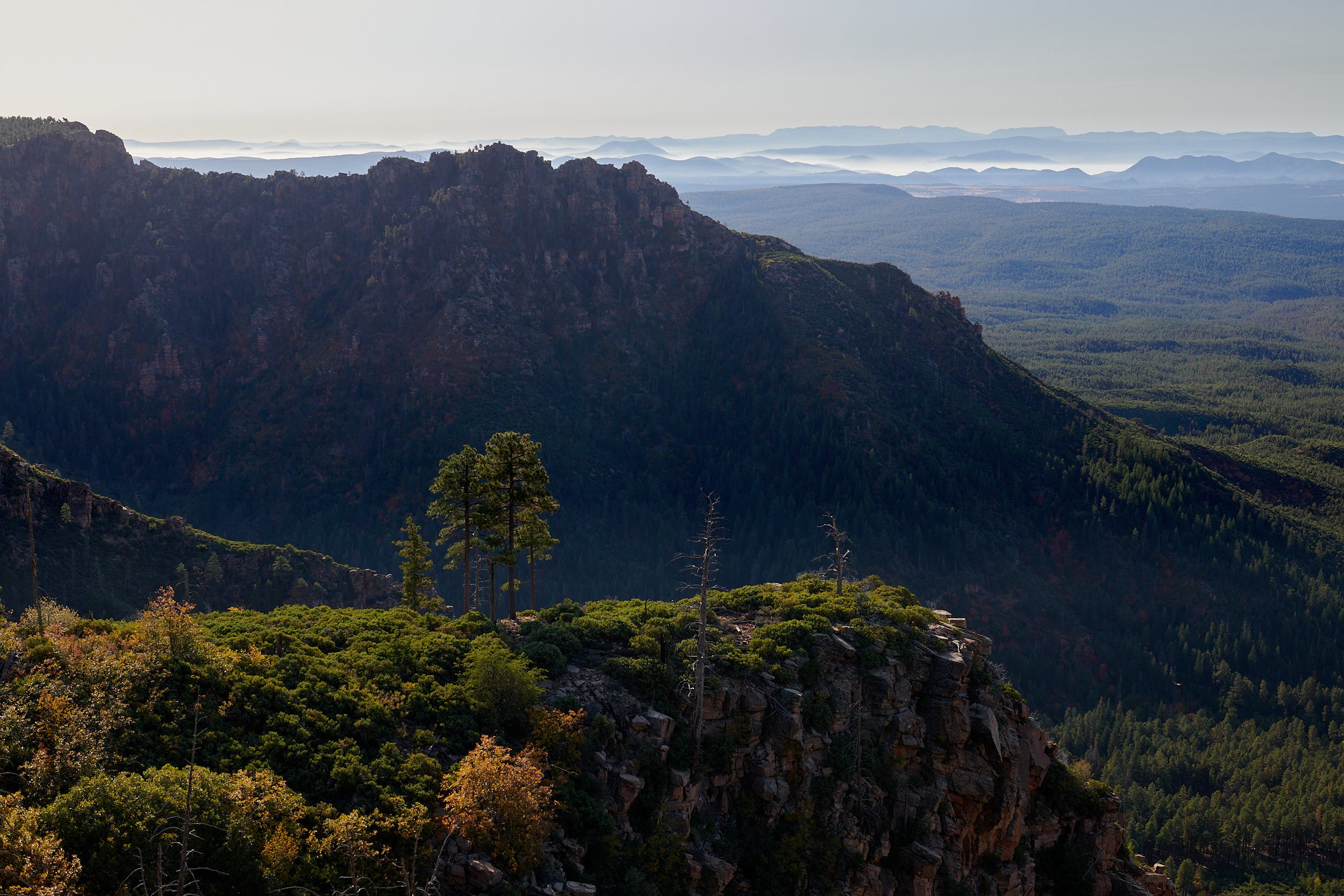

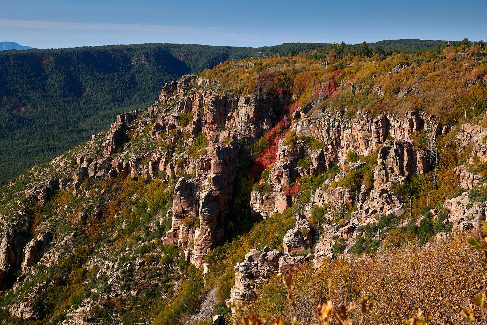
All above images: The Mogollon Rim, Arizona.
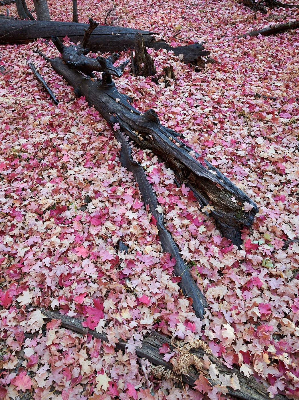
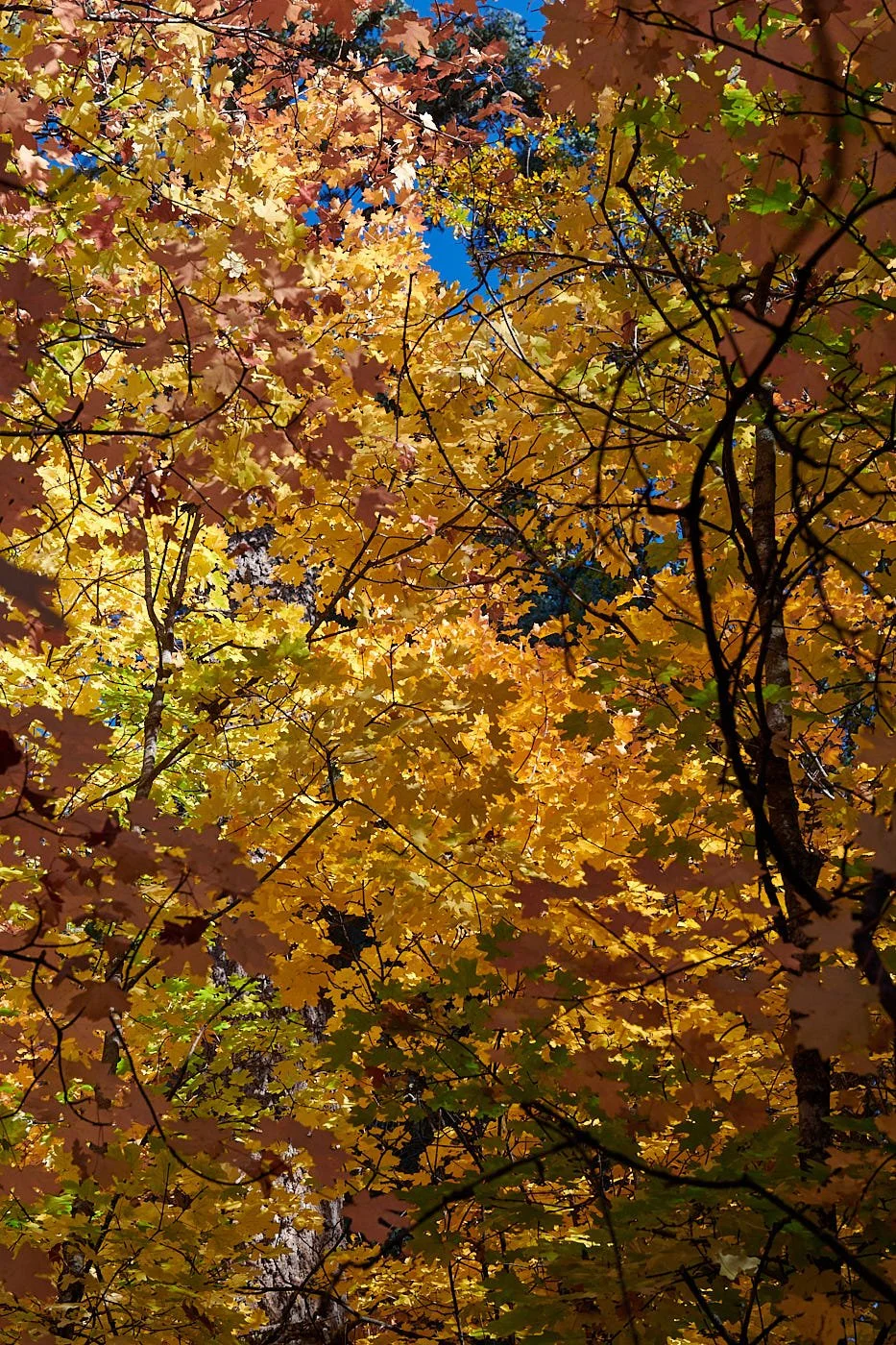
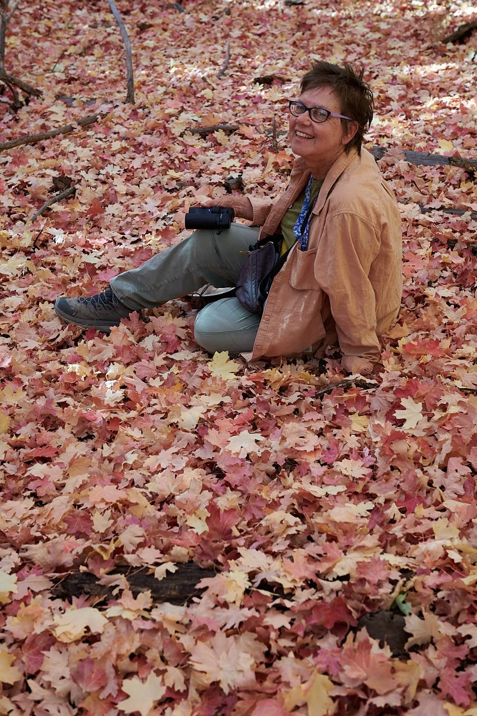


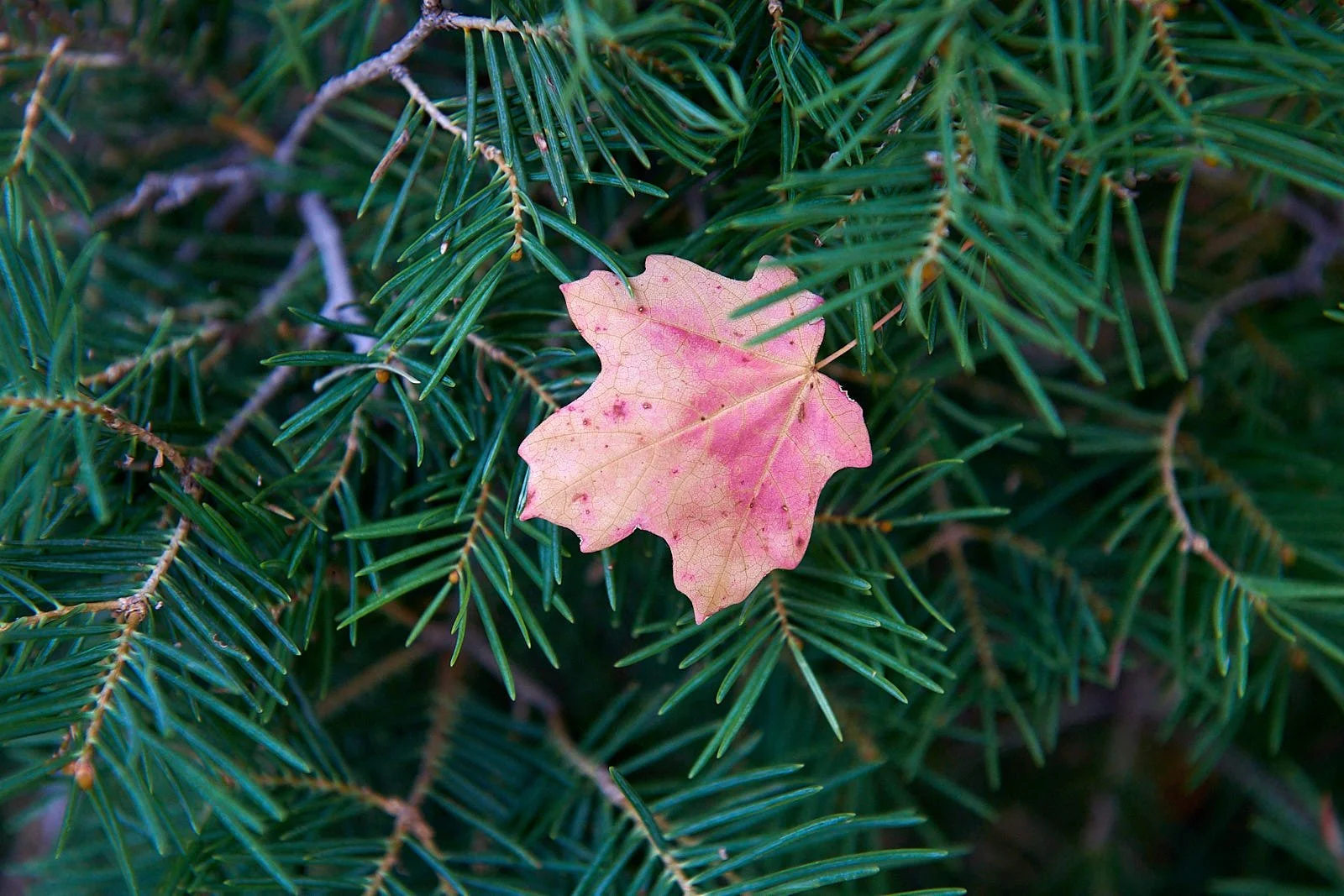


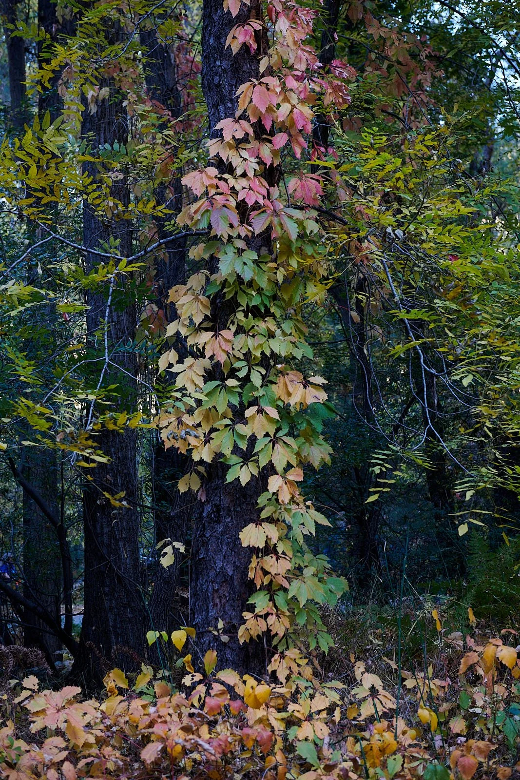
All images: Mogollon Rim Botanical Area, Arizona.
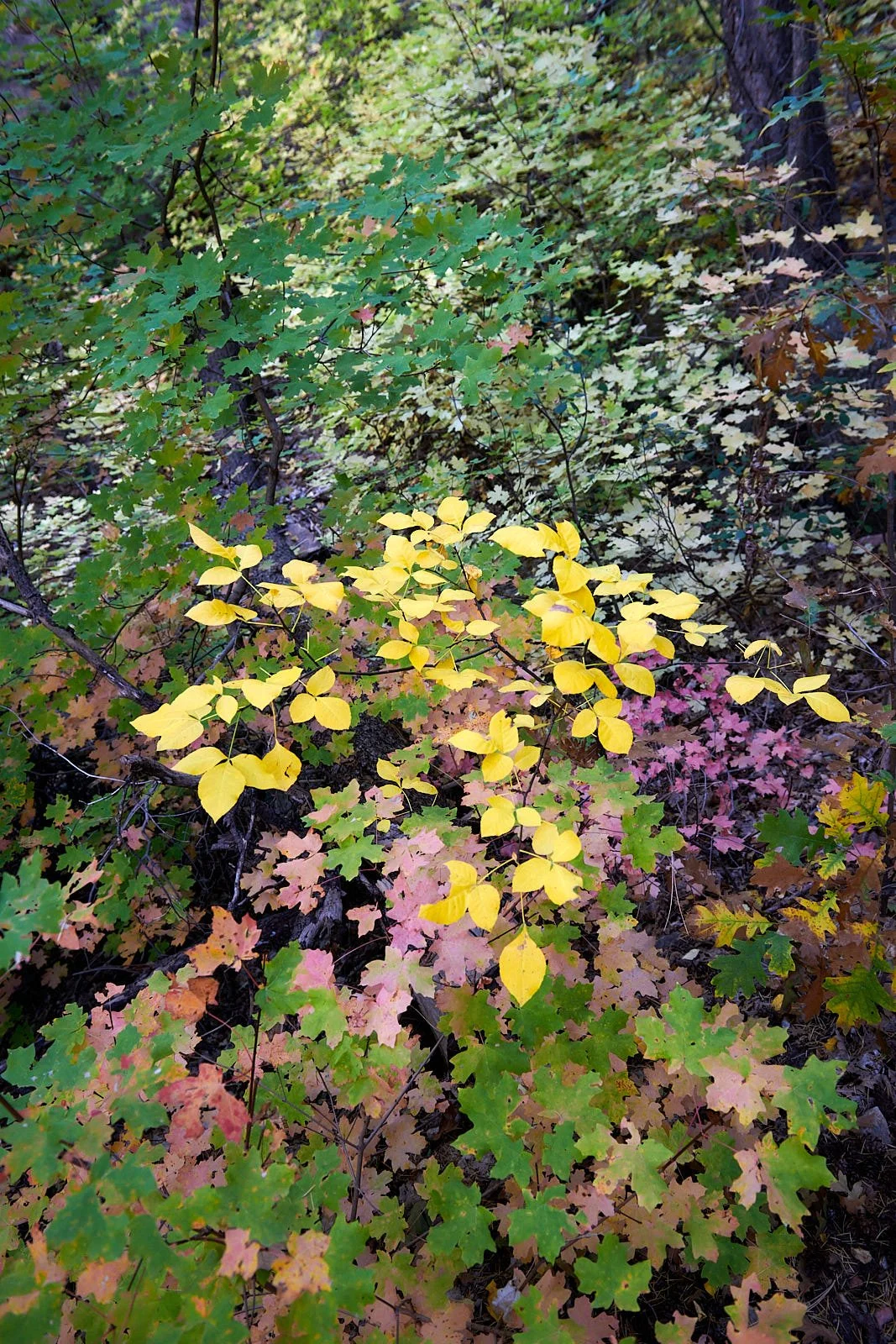
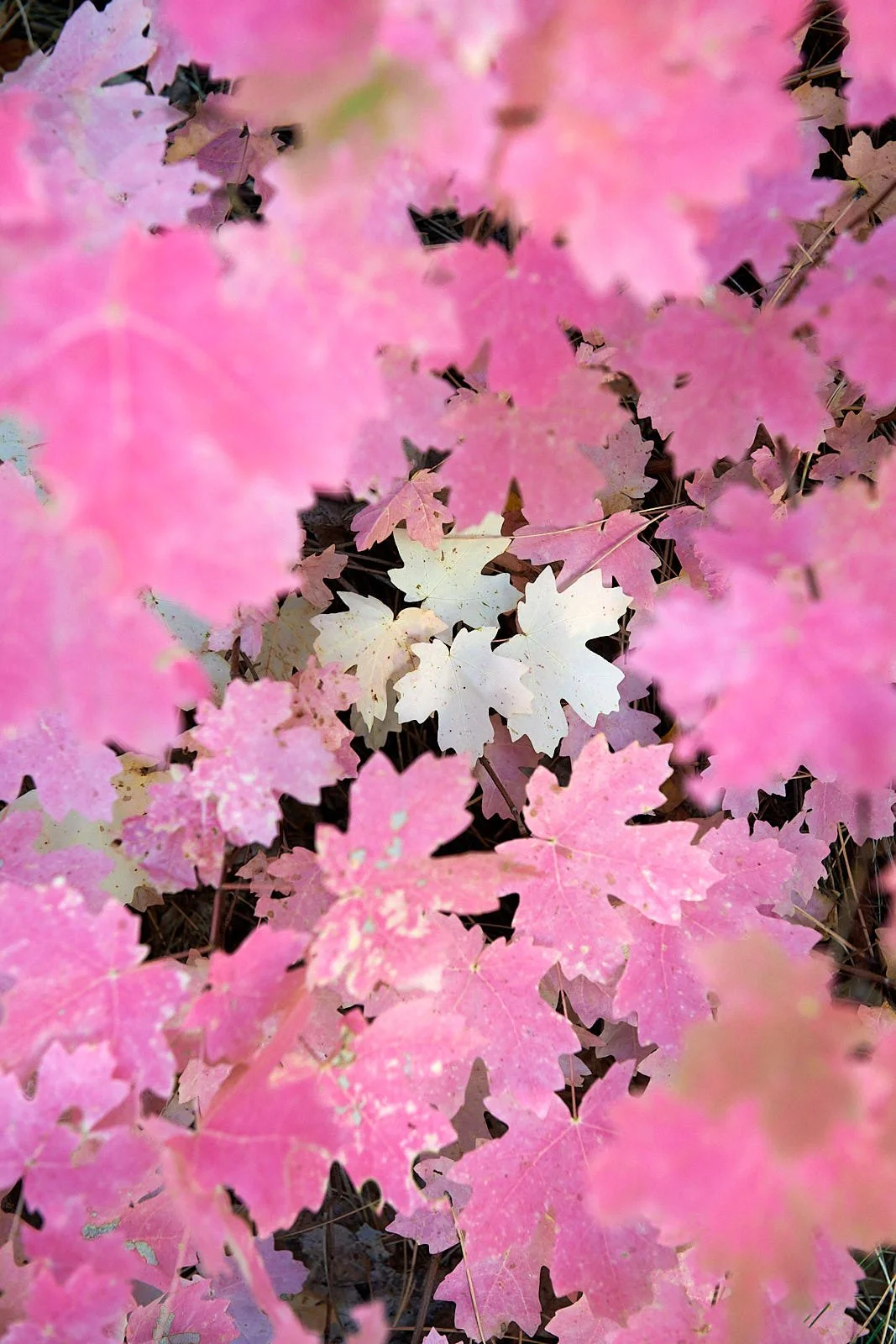

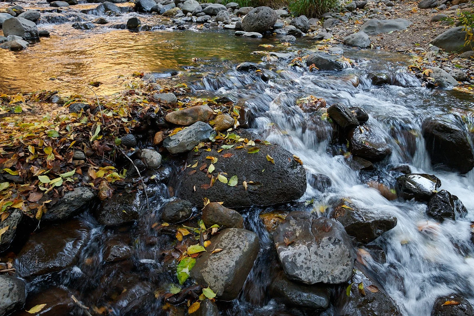
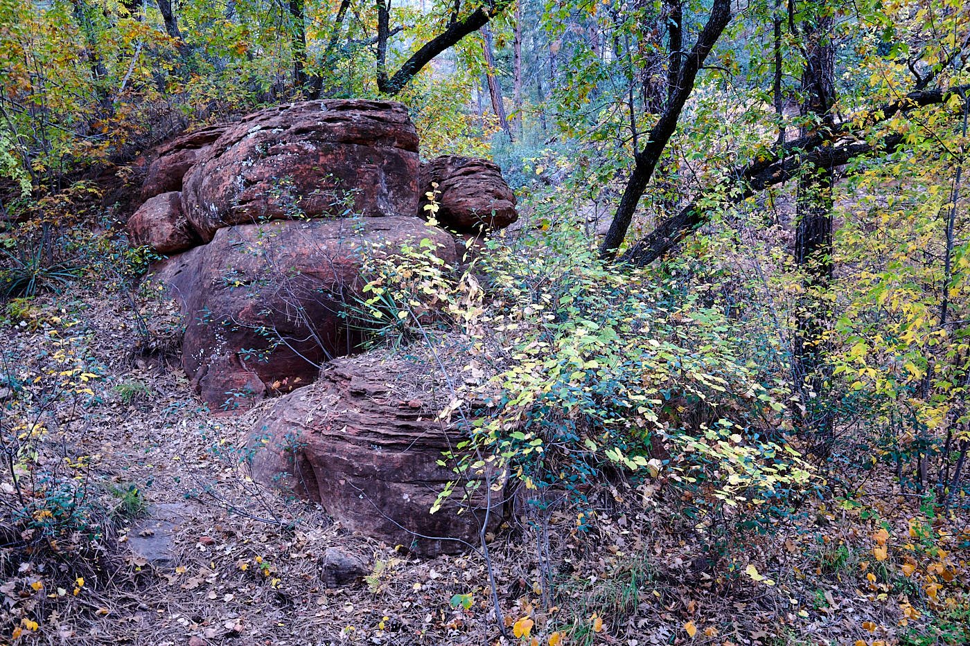
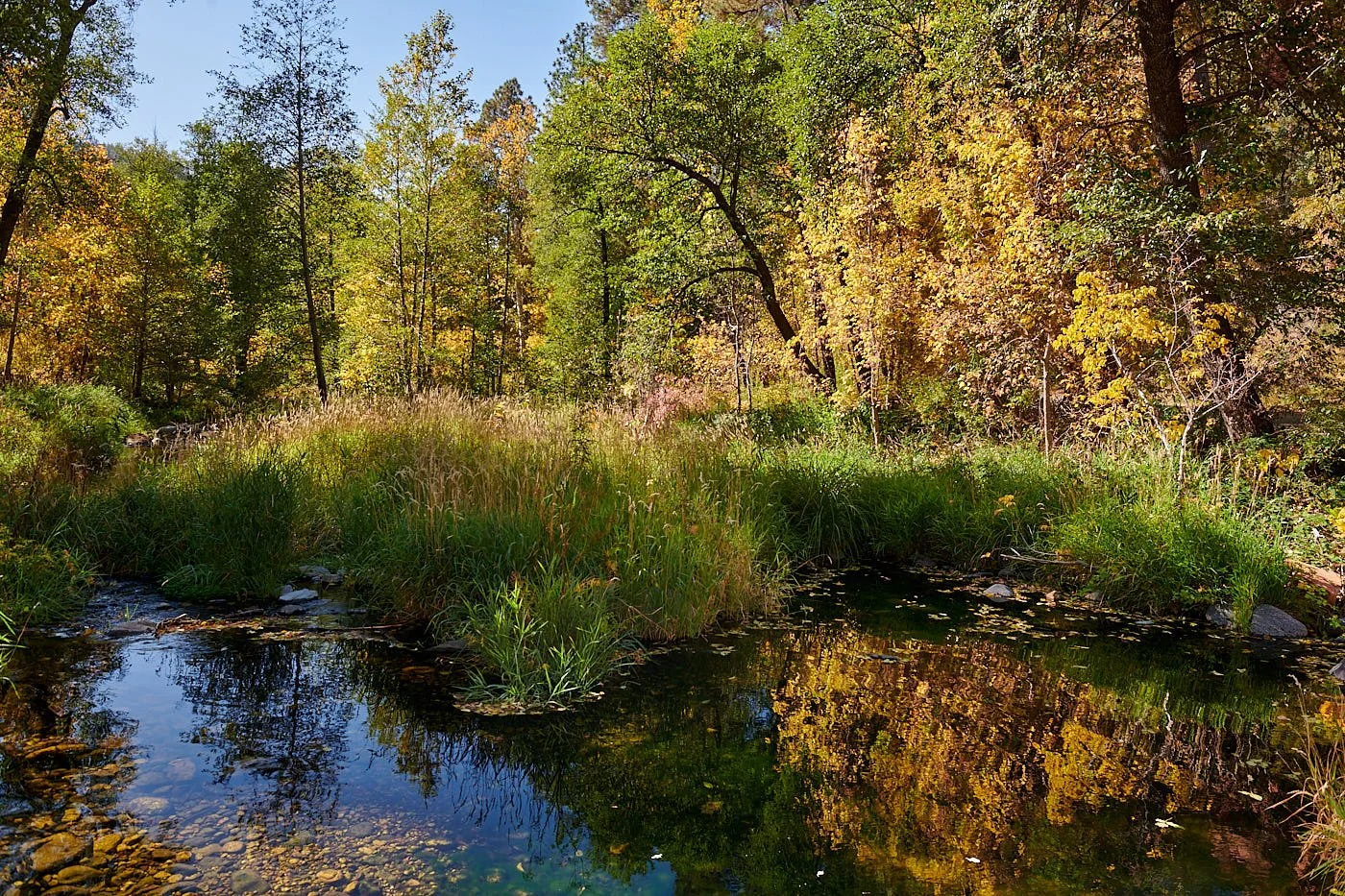


All images: Oak Creek, Sedona, Arizona.
Homeward bound
From Sedona we drove to Katherine Landing by the shores of Lake Mohave, Arizona. Crossed the Colorado River into Nevada and then entered California.
Spent the night at Colonel Allensworth Historic State Park.
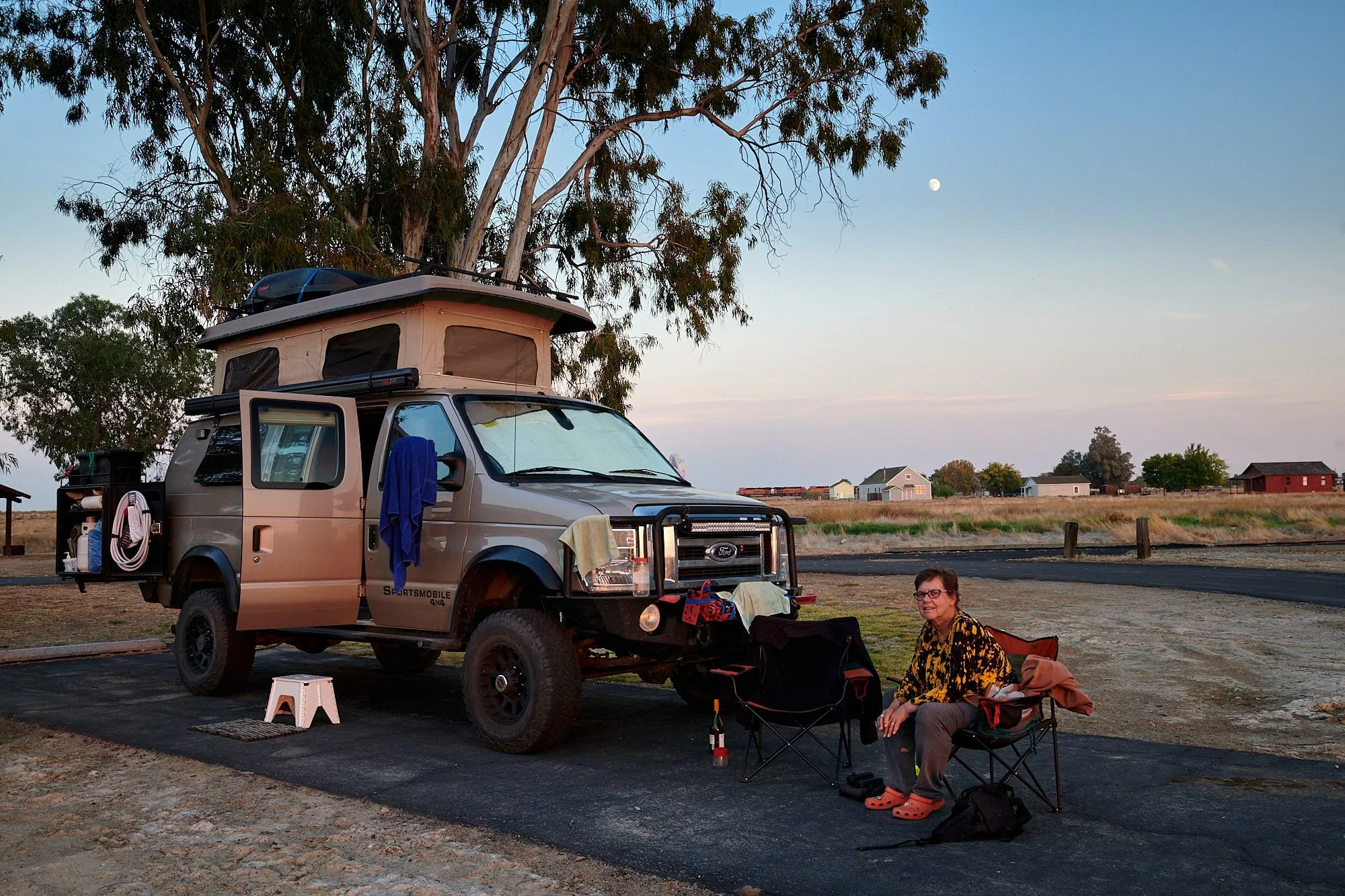
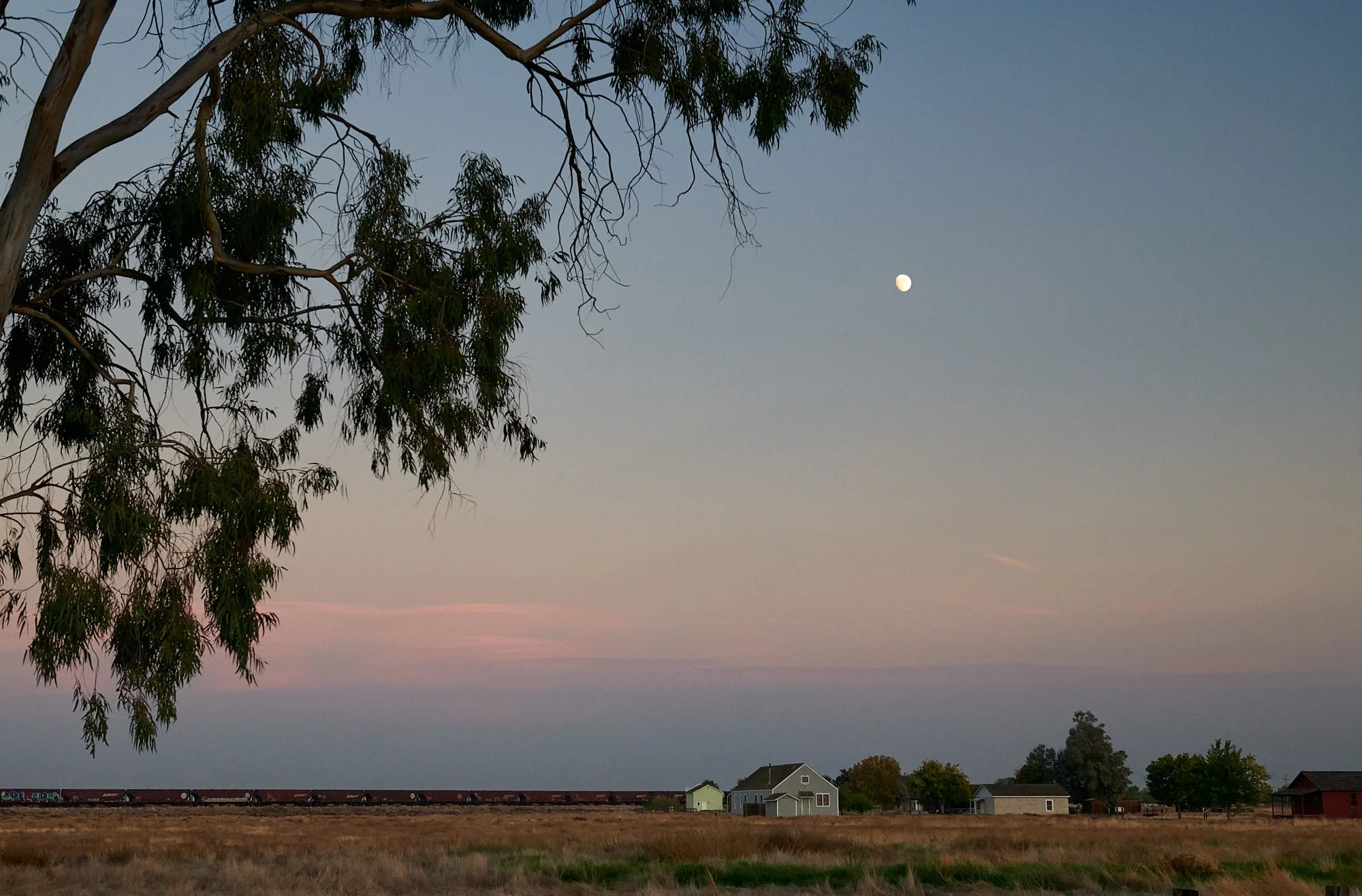
The freight train hooted and a Western Screech Owl replied.
We, and the bird, had the campground to ourselves.
Home the next day.